
Regional overview
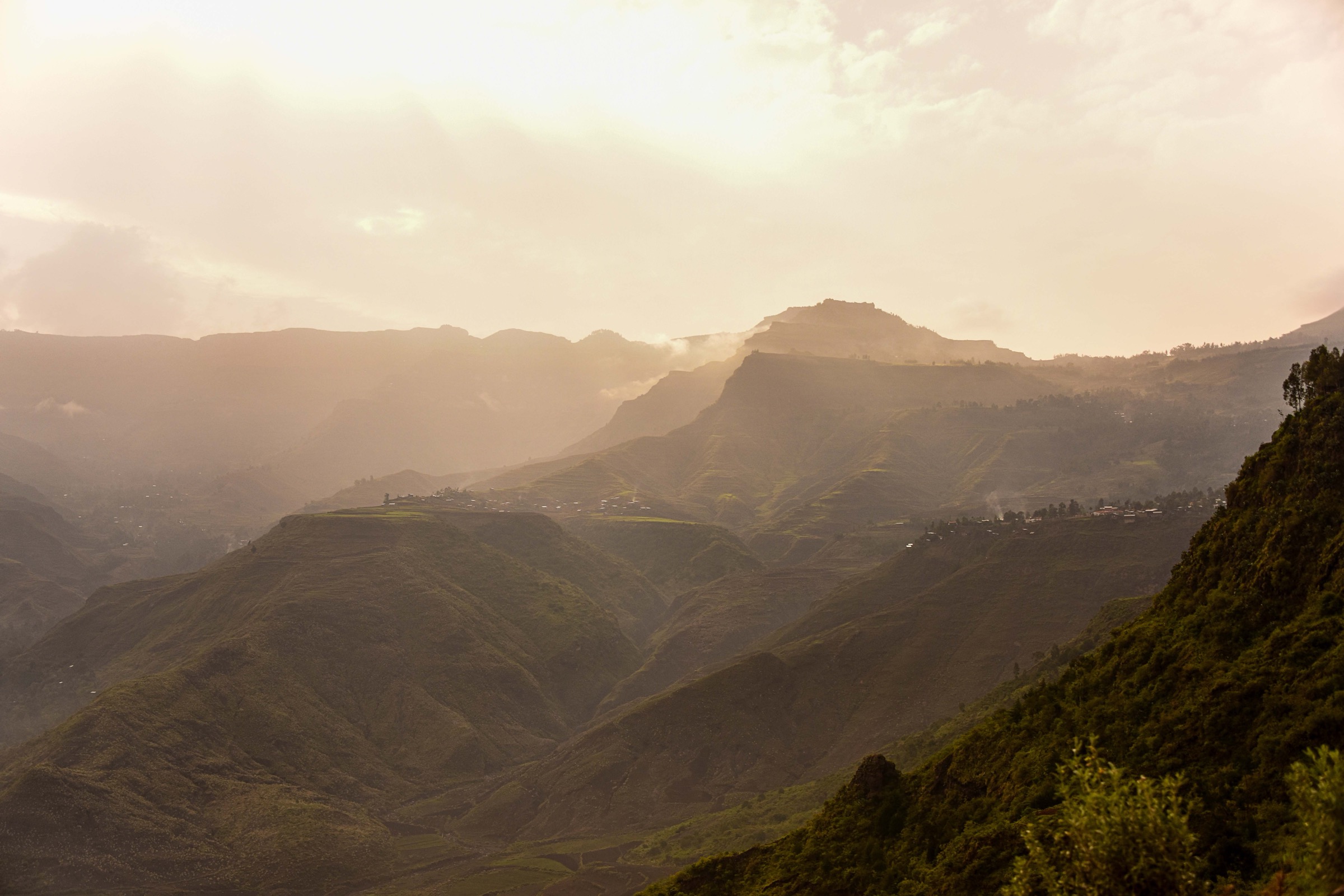
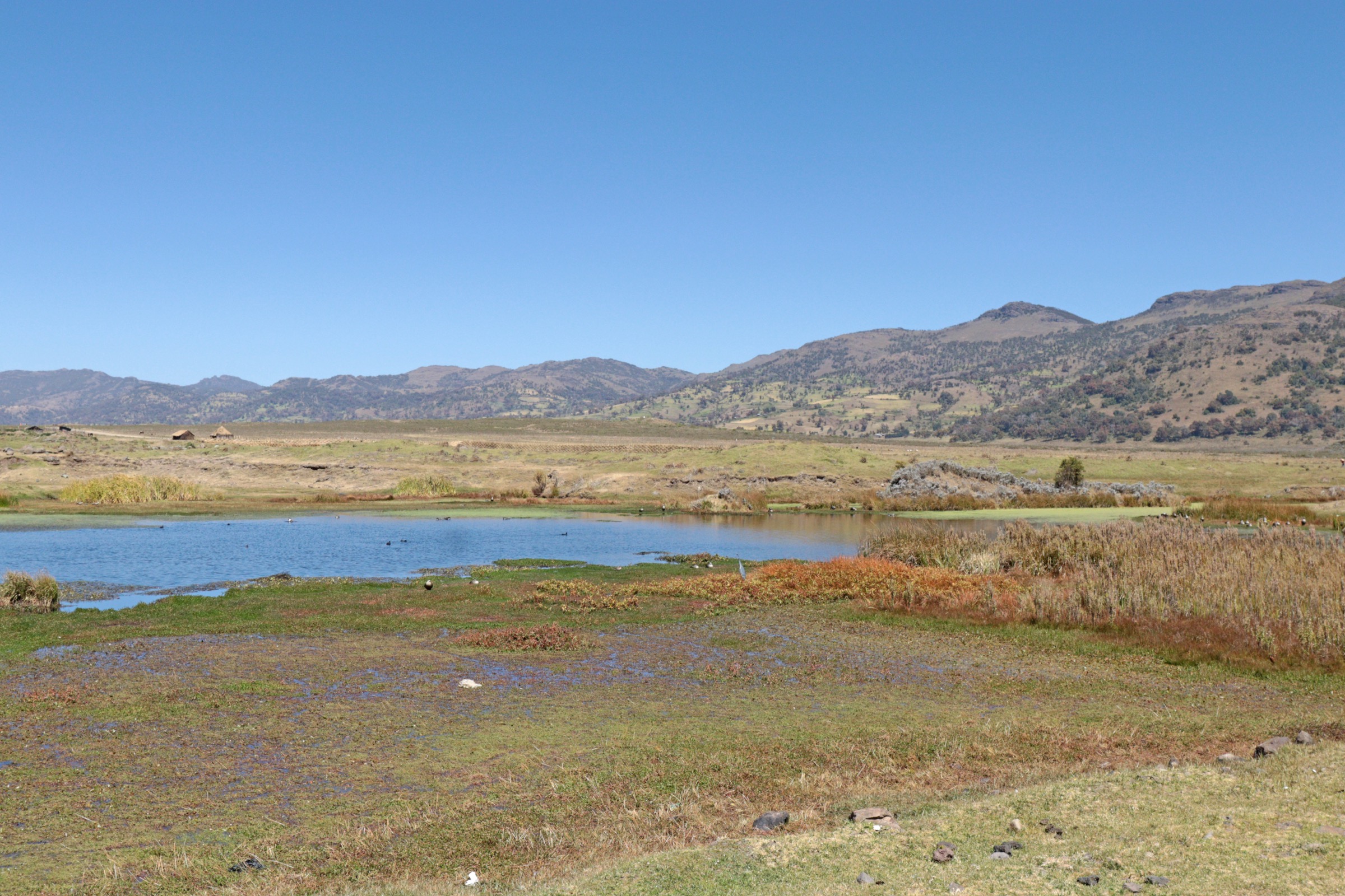
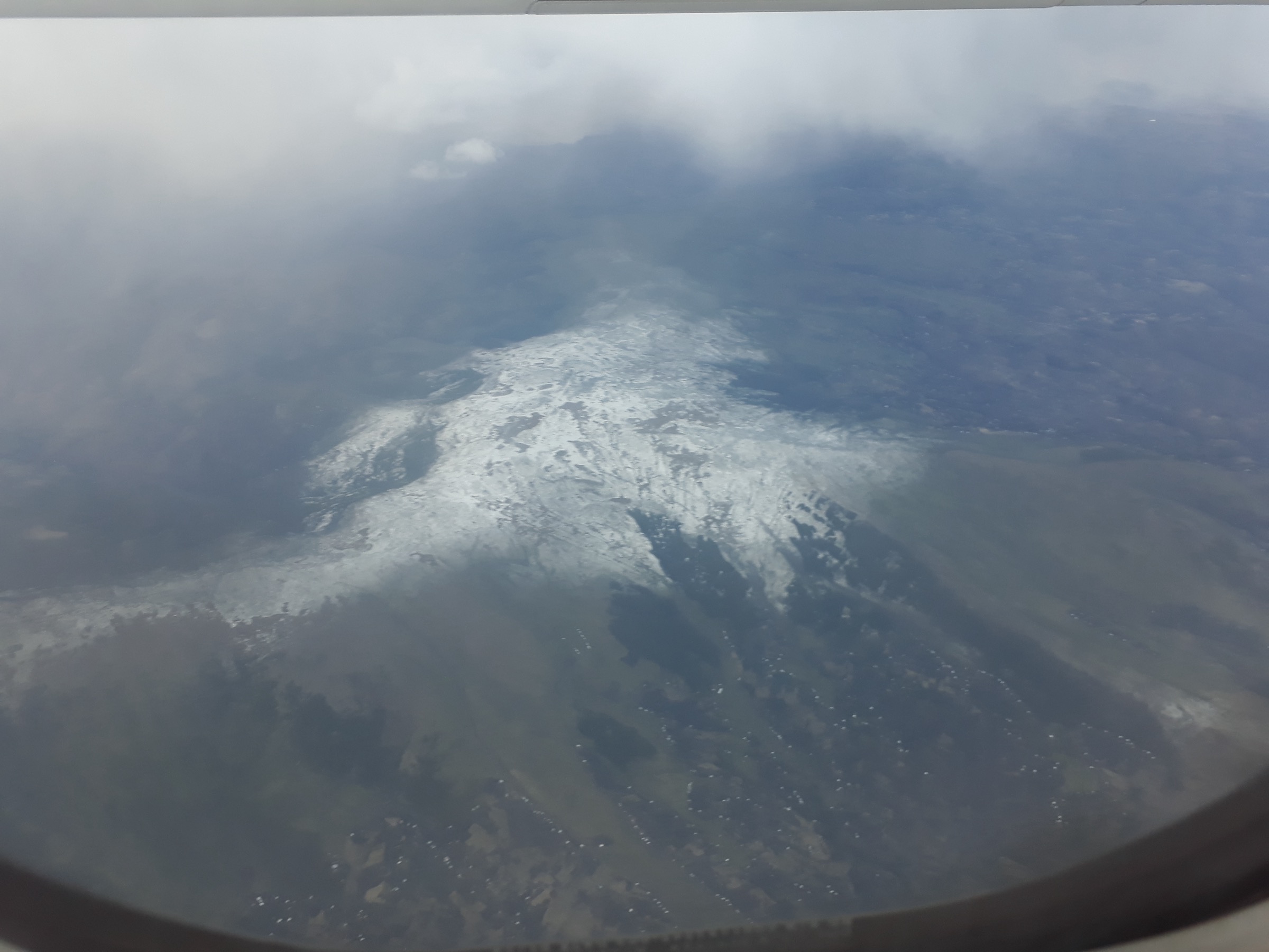
The Choke Mountains form a high Blue Nile Highlands massif south of Lake Tana. Public sources identify Mount Choqa / Ch’ok’e Terara / Birhan as a 4,100 m ultra-prominent mountain with cultivated slopes reaching about 3,000 m, sparse forest cover, and highland watershed terrain. Scientific sources describe the wider Choke Mountain watersheds as running from tropical alpine environments above 4,000 m down toward the hot, dry Blue Nile gorge below 1,000 m.
This is not currently a well-documented public hiking region. Compared with the Simien, Bale, or Abuna Yosef areas, online sources provide very little official day-hike information, measured trail statistics, or legally downloadable route files. The entries below therefore identify five essential research targets rather than five publication-ready routes.
The main practical access points still need field confirmation; likely bases include Mota, Debay Telategn / Gojjam-side settlements, and high roads or villages around the Choqa massif. Current access is also a major constraint: as of the U.S. Department of State advisory dated 1 April 2026, Amhara Region is listed as “Do Not Travel” due to armed conflict and unrest.
Selection rationale
Choqa is the clear anchor objective because it is the massif high point and an Africa 4,000 m / ultra-prominence peak with logged GPS-track ascents on Peakbagger. Talo is included as a named 4,000 m south-shoulder objective close to Choqa. The remaining three entries represent the landscape types that define the Choke Mountains - high watershed ridge, cultivated highland terrace, and Blue Nile gorge transition - but remain candidate-only until local/official route sources are found.
Summary table
| # | Hike | Country | Route type | Distance | Gain | Max elevation | Difficulty |
|---|---|---|---|---|---|---|---|
| 1 | Mount Choqa / Birhan summit candidate | Ethiopia | Out-and-back summit candidate; geometry unresolved | Unresolved | Unresolved | 4,100 m | Hard candidate |
| 2 | Talo south-shoulder highland walk candidate | Ethiopia | Out-and-back/ridge candidate; geometry unresolved | Unresolved | Unresolved | 4,000 m | Moderate-hard candidate |
| 3 | Choke watershed ridge above the cultivated belt | Ethiopia | Ridge/point-to-point candidate; geometry unresolved | Unresolved | Unresolved | Above 4,000 m possible; exact objective unresolved | Candidate only |
| 4 | Mota-side highland terrace and viewpoint walk | Ethiopia | Loop/out-and-back candidate; geometry unresolved | Unresolved | Unresolved | Unresolved | Candidate only |
| 5 | Upper Blue Nile gorge transition viewpoint candidate | Ethiopia | Out-and-back/descent candidate; geometry unresolved | Unresolved | Unresolved | Unresolved | Candidate only |
1. Mount Choqa / Birhan summit candidate

Snapshot
Itinerary
A publication-ready route line was not verified. The objective is the Mount Choqa / Birhan high point at approximately 10.713942, 37.849396. Peakbagger lists several logged ascents and a GPS-map source, but this pass did not verify a legal downloadable GPX, trailhead, route distance, or total ascent.
Why it is essential
Choqa is the high point and defining summit of the Choke Mountains. It is listed as a 4,100 m African 4,000 m peak and an ultra-prominent summit, making it the necessary anchor objective for any Choke Mountains day-hike catalogue.
Equipment
Mountain hiking equipment: sturdy boots, warm layer, weatherproof layer, hat/gloves outside warm settled weather, navigation backup, water, food, and headtorch. Trekking poles are recommended. A local guide is strongly recommended until a verified route is available.
Hazards and notes
Key hazards are altitude, cold/wet highland weather, mist, route-finding, and remoteness. Current Amhara security conditions are a blocking access issue for publication as a travel route; the U.S. advisory dated 1 April 2026 says not to travel to Amhara Region.
GPX / KML links
| Source | URL | Format / access | Reuse status |
|---|---|---|---|
| Peakbagger — Choqa | peakbagger.com | Summit page with GPS-map/trip-report links | Peakbagger copyright/terms apply; route-source lead only, no GPX downloaded or reused |
| OpenStreetMap point/map | openstreetmap.org | Source map, not a route file | OSM data is ODbL; useful for location cross-checking only |
External links
- Peakbagger — Choqa, Ethiopia
- Wikipedia — Mount Choqa
- Simane, Zaitchik & Ozdogan — Agroecosystem Analysis of the Choke Mountain Watersheds, Ethiopia
- U.S. Department of State Ethiopia Travel Advisory, 1 April 2026
2. Talo south-shoulder highland walk candidate
Snapshot
Itinerary
Talo is a named 4,000 m point south of Choqa. Peakbagger confirms coordinates and elevation but records no logged ascents in the checked page. No standard hiking approach, trailhead, distance, ascent, or route file was verified.
Why it is essential
Talo gives the catalogue a second high-elevation objective on the Choqa massif rather than reducing the Choke Mountains to a single summit. It should remain a research target until a safe, legal, locally used day route is identified.
Equipment
Mountain hiking equipment, including warm and waterproof layers, boots, navigation backup, water, food, and headtorch. Local guiding is recommended.
Hazards and notes
Route-finding and access are unresolved. Because no ascent records were found in the checked Peakbagger page, this is a weaker candidate than Choqa summit.
GPX / KML links
| Source | URL | Format / access | Reuse status |
|---|---|---|---|
| Peakbagger — Talo | peakbagger.com | Summit page, not a route file | Peakbagger copyright/terms apply; location/stat source only, no route geometry selected |
| OpenStreetMap point/map | openstreetmap.org | Source map | OSM data is ODbL; candidate location cross-check only |
External links
- Peakbagger — Talo, Ethiopia
- Peakbagger — Choqa, Ethiopia
- U.S. Department of State Ethiopia Travel Advisory, 1 April 2026
3. Choke watershed ridge above the cultivated belt
Snapshot
Itinerary
This candidate represents a high watershed-ridge walk on the Choke massif above the cultivated belt. The MDPI Choke watershed study verifies the region’s steep ecological gradient and highland watershed setting, but no named public day-hike line was verified.
Why it is essential
A watershed ridge route would represent the defining terrain of the Choke Mountains: high, open Blue Nile Highlands country between alpine environments and deeply dissected lower valleys.
Equipment
Mountain hiking equipment with navigation backup, warm layer, waterproof layer, food, water, and headtorch.
Hazards and notes
This is a research target only. It requires local confirmation of legal access, trail condition, water availability, settlement boundaries, and current security.
GPX / KML links
| Source | URL | Format / access | Reuse status |
|---|---|---|---|
| OpenStreetMap search | openstreetmap.org | Source map/search | OSM data is ODbL; candidate geometry cross-check only |
| AllTrails nearby search | MCP AllTrails check at 10.7139, 37.8494 within 100 km | Trail database check | AllTrails terms apply; no hiking trails returned in this pass |
External links
- Simane, Zaitchik & Ozdogan — Agroecosystem Analysis of the Choke Mountain Watersheds, Ethiopia
- Wikipedia — Mount Choqa
- U.S. Department of State Ethiopia Travel Advisory, 1 April 2026
4. Mota-side highland terrace and viewpoint walk
Snapshot
Itinerary
This candidate is for a shorter cultural-landscape walk through highland agricultural terraces and viewpoints on the Mota side of the Choke Mountains. No publication-ready route source was found; a route would need local field mapping.
Why it is essential
The Choke Mountains are not only a summit area; they are a heavily used highland agroecosystem. A terrace-and-viewpoint walk would represent the settled Blue Nile Highlands character better than another unnamed summit line.
Equipment
Standard to mountain hiking equipment depending on the final route: sturdy footwear, water, sun protection, warm/weatherproof layer, and navigation backup.
Hazards and notes
Access through agricultural land must be locally agreed and mapped. Seasonal mud, dogs, livestock, and navigation are unresolved.
GPX / KML links
| Source | URL | Format / access | Reuse status |
|---|---|---|---|
| OpenStreetMap search | openstreetmap.org | Source map/search | OSM data is ODbL; candidate geometry cross-check only |
| Wikiloc search | wikiloc.com | Search page | Wikiloc terms apply if a track is later selected; no GPX selected in this pass |
External links
- Simane, Zaitchik & Ozdogan — Agroecosystem Analysis of the Choke Mountain Watersheds, Ethiopia
- U.S. Department of State Ethiopia Travel Advisory, 1 April 2026
5. Upper Blue Nile gorge transition viewpoint candidate
Snapshot
Itinerary
This candidate covers the transition from high Choke watershed terrain toward the Blue Nile gorge. The physical setting is verified by the Choke watershed study, but no safe one-day hiking line, trailhead, route statistics, or route file was verified.
Why it is essential
The Blue Nile gorge transition is central to the Choke Mountains’ landscape identity, linking the cool high summit zone to deeply dissected lowland valleys. A verified viewpoint hike would add needed ecological and scenic contrast to the summit-focused entries.
Equipment
Mountain hiking equipment, with extra water, sun protection, navigation backup, and a conservative turnaround plan if heat or route-finding becomes difficult.
Hazards and notes
This is not publication-ready. Heat, water scarcity, uncertain paths, private or community land access, and security conditions all require local verification.
GPX / KML links
| Source | URL | Format / access | Reuse status |
|---|---|---|---|
| OpenStreetMap search | openstreetmap.org | Source map/search | OSM data is ODbL; candidate geometry cross-check only |
| Wikiloc search | wikiloc.com | Search page | Wikiloc terms apply if a track is later selected; no GPX selected in this pass |
External links
- Simane, Zaitchik & Ozdogan — Agroecosystem Analysis of the Choke Mountain Watersheds, Ethiopia
- U.S. Department of State Ethiopia Travel Advisory, 1 April 2026
Missing data / follow-up work
- Only Choqa and Talo have strong peak-coordinate/elevation source data; the other three entries are landscape research targets.
- No official GPX/KML route file was found.
- All distances, ascent/descent totals, walking times, and exact trailheads remain unresolved.
- Only one licence-compatible Commons image was verified for the region; it is not route-specific beyond the Choqa massif.
- Local access, guide requirements, land-permission issues, and current security conditions must be verified before publication.
- Amhara Region is under a current U.S. “Do Not Travel” advisory as of 1 April 2026.
External links
| Resource | Link |
|---|---|
| Peakbagger — Choqa, Ethiopia | peakbagger.com |
| Peakbagger — Talo, Ethiopia | peakbagger.com |
| Wikipedia — Mount Choqa | en.wikipedia.org |
| Simane, Zaitchik & Ozdogan — Agroecosystem Analysis of the Choke Mountain Watersheds, Ethiopia | mdpi.com |
| U.S. Department of State Ethiopia Travel Advisory, 1 April 2026 | travel.state.gov |