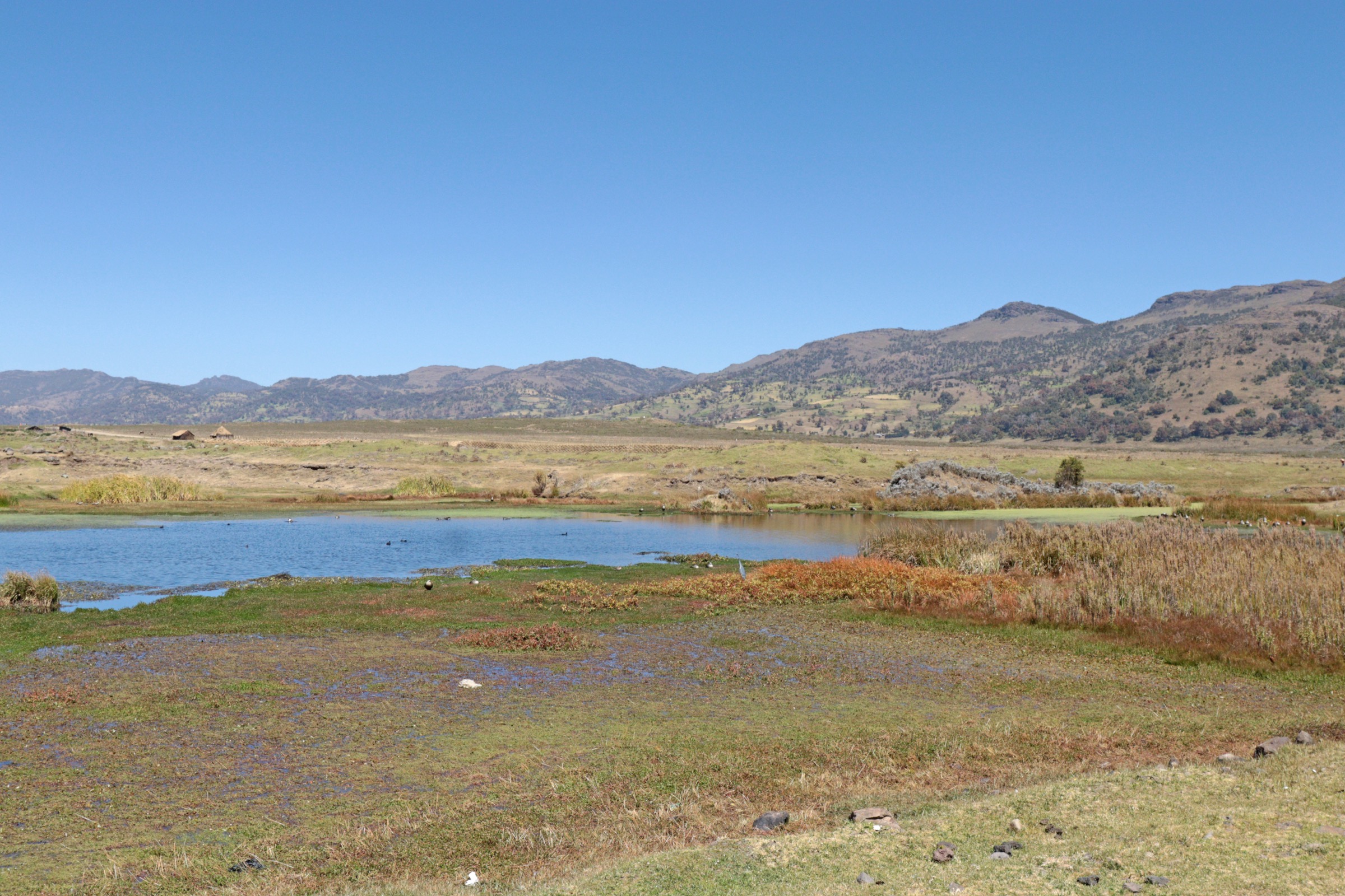
Regional overview
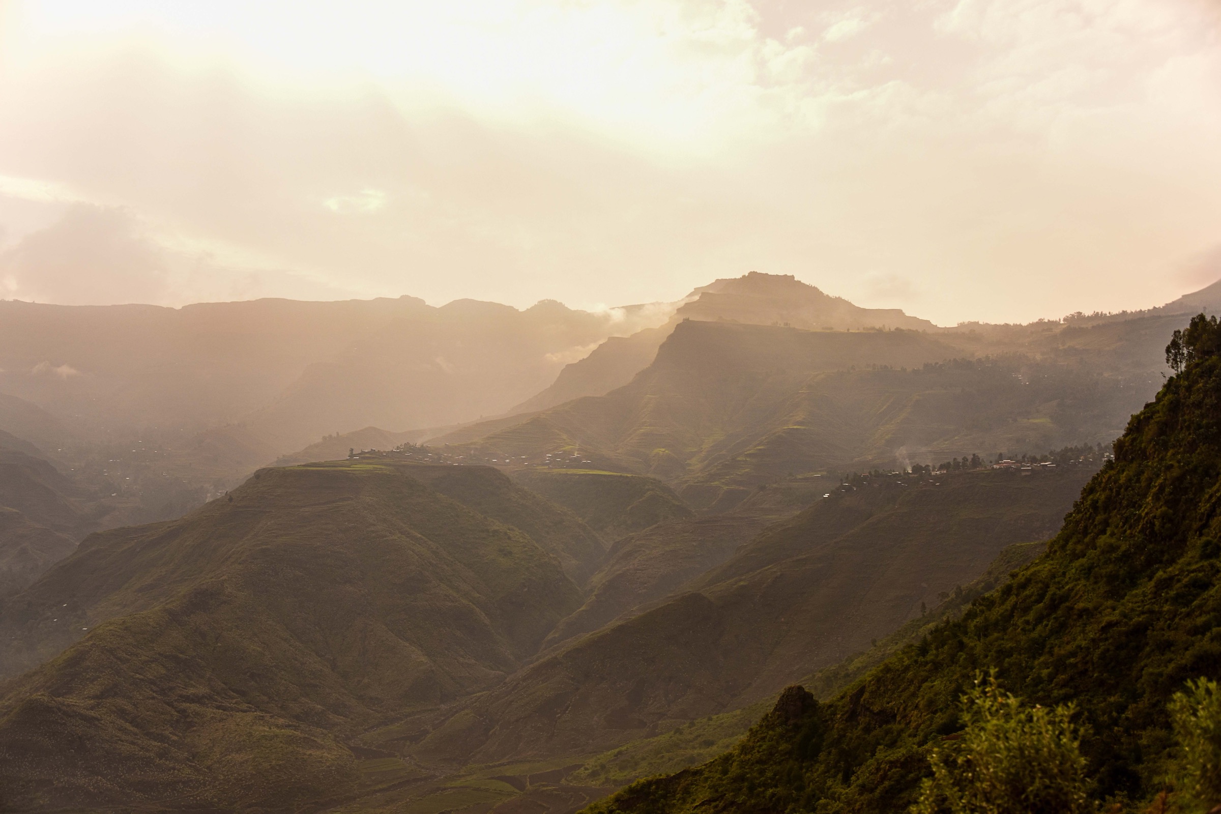
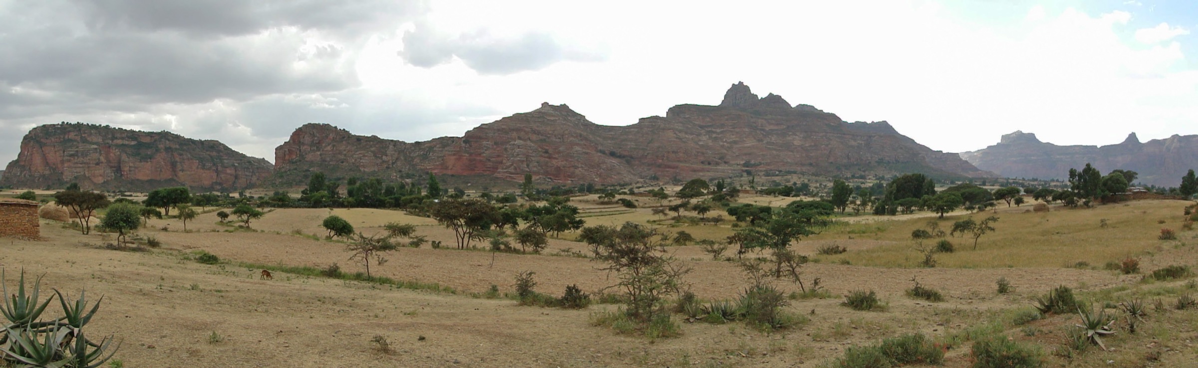
The Arsi Mountains form a high volcanic and Afromontane section of the Ethiopian Highlands in Oromia, north-west of the Bale Mountains and south of the main Ethiopian Rift. Arsi Mountains National Park was designated in 2011 and is described by protected-area sources as covering montane forest, subalpine heath, alpine grassland and shrubland. The principal named mountain features in the park include Mount Chilalo, the Galama Ridges, Mount Kaka, Hunkolo and the Dhara Dilfekar block.
This is a high-altitude, weakly documented hiking region rather than a mature waymarked walking destination. The most sourceable catalogue candidates are therefore named mountain objectives and protected-area blocks, not published trail lines. Dry-season walking is normally preferable, but cold, cloud, rain, and poor visibility remain possible at altitude. Current access, park rules, guide availability, and security conditions in Oromia need local confirmation before any walk is published as usable.
The U.S. State Department travel advisory for Ethiopia was checked on 12 June 2026. It places Ethiopia at Level 3, notes that some Oromia areas have higher risk, and says U.S. government employees require special authorisation for travel outside Addis Ababa. No official hiking GPX files, route statistics, or trailhead access rules were found for Arsi in this pass.
Selection rationale
The five entries below are retained as research targets because they represent the main documented Arsi mountain landscapes: the Chilalo volcanic high point, the Chilalo-Galama ridge system, Mount Kaka, the Dhara Dilfekar wildlife block, and the wider Arsi watershed around Mount Gugu. All five remain candidate only because public route geometry and route statistics were not verified.
Summary table
| # | Hike | Country | Route type | Distance | Gain | Max elevation | Difficulty |
|---|---|---|---|---|---|---|---|
| 1 | Mount Chilalo caldera-rim summit candidate | Ethiopia | Out-and-back or loop unresolved | Unresolved | Unresolved | 4,036-4,071 m depending on source | Candidate only |
| 2 | Chilalo-Galama ridge walk | Ethiopia | Ridge walk/traverse unresolved | Unresolved | Unresolved | Unresolved | Candidate only |
| 3 | Mount Kaka highland route | Ethiopia | Out-and-back/traverse unresolved | Unresolved | Unresolved | Unresolved | Candidate only |
| 4 | Dhara Dilfekar wildlife-block walk | Ethiopia | Loop/out-and-back unresolved | Unresolved | Unresolved | Unresolved | Candidate only |
| 5 | Mount Gugu watershed ridge candidate | Ethiopia | Ridge walk/out-and-back unresolved | Unresolved | Unresolved | Unresolved | Candidate only |
1. Mount Chilalo caldera-rim summit candidate
Snapshot
Itinerary
A publication-ready itinerary was not verified. The candidate objective is the Mount Chilalo volcanic high point and caldera rim within Arsi Mountains National Park. Source material confirms Mount Chilalo as a major extinct stratovolcano with a broad caldera and as the highest named point of the park/Arsi Zone, but it does not provide a legal walking line, trailhead, distance, ascent, or descent.
Why it is essential
Mount Chilalo is the most prominent documented summit objective in the Arsi Mountains and gives the region its clearest volcanic high-altitude focus. It should be retained for follow-up mapping, but not published as a route until the approach, access permissions, and route statistics are verified.
Equipment
Mountain hiking equipment: sturdy boots, waterproof layer, warm layer, hat/gloves outside settled warm weather, food, water, sun protection, map/GPS, navigation backup, and headtorch for a long day.
Hazards and notes
Altitude, poor visibility, cold rain, route-finding uncertainty, possible livestock tracks, and protected-area rules are unresolved. Local guide arrangements, park entry rules, and current security conditions must be checked before field use.
GPX / KML links
| Source | URL | Format / access | Reuse status |
|---|---|---|---|
| OpenStreetMap search: Mount Chilalo | openstreetmap.org | Source map/search | OSM data is ODbL; geometry cross-check only |
| AllTrails nearby check: Mount Chilalo | alltrails.com | Trail database search | AllTrails terms apply; tool check found no local trail record near Chilalo |
| Wikiloc search: Mount Chilalo | wikiloc.com | Search page | Wikiloc terms apply if a track is later selected; candidate source only |
External links
- Wikipedia — Arsi Mountains National Park
- Wikipedia — Mount Chilalo
- Wikipedia — Arsi Zone
- U.S. State Department — Ethiopia travel advisory
- Wikimedia Commons search — Mount Chilalo Ethiopia
2. Chilalo-Galama ridge walk
Snapshot
Itinerary
A publication-ready itinerary was not verified. The candidate focuses on the Chilalo-Galama mountain range named in ecological research and protected-area descriptions. A later route should use a locally confirmed ridge section or village-to-village traverse rather than an invented line.
Why it is essential
The Chilalo-Galama range is repeatedly identified in Arsi ecological sources and appears to represent the park’s ridge-and-heathland character beyond the single summit of Chilalo.
Equipment
Mountain hiking equipment, including sturdy boots, warm/rain layers, water, food, map/GPS, navigation backup, and sun protection.
Hazards and notes
Route-finding, access rights, settlement approaches, weather exposure, and water availability are unresolved. Verify protected-area rules and current conditions locally.
GPX / KML links
| Source | URL | Format / access | Reuse status |
|---|---|---|---|
| OpenStreetMap search: Chilalo Galama | openstreetmap.org | Source map/search | OSM data is ODbL; geometry cross-check only |
| Wikiloc search: Chilalo Galama | wikiloc.com | Search page | Wikiloc terms apply if a track is later selected; candidate source only |
External links
- Wikipedia — Arsi Mountains National Park
- Wikipedia — Arsi Zone
- U.S. State Department — Ethiopia travel advisory
- Wikimedia Commons search — Chilalo Galama Ethiopia
3. Mount Kaka highland route
Snapshot
Itinerary
A publication-ready itinerary was not verified. Mount Kaka is listed among the named mountains of Arsi Mountains National Park, but this pass did not find a reliable hiking line, trailhead, distance, or route statistics. Any later entry should separate a confirmed walkable approach from any broader summit or grazing-track network.
Why it is essential
Mount Kaka is one of the principal named highland features in the protected-area description and gives the selection a second highland objective south of Chilalo.
Equipment
Mountain hiking equipment: boots, warm and waterproof layers, food, water, map/GPS, navigation backup, and sun protection.
Hazards and notes
Unverified trail condition, access permissions, possible off-trail navigation, altitude weather, and protected-area restrictions. Do not publish a GPX until a line is checked against a reputable source or field survey.
GPX / KML links
| Source | URL | Format / access | Reuse status |
|---|---|---|---|
| OpenStreetMap search: Mount Kaka | openstreetmap.org | Source map/search | OSM data is ODbL; geometry cross-check only |
| Wikiloc search: Mount Kaka | wikiloc.com | Search page | Wikiloc terms apply if a track is later selected; candidate source only |
External links
- Wikipedia — Arsi Mountains National Park
- Wikipedia — Arsi Zone
- Wikimedia Commons search — Mount Kaka Ethiopia
4. Dhara Dilfekar wildlife-block walk
Snapshot
Itinerary
A publication-ready itinerary was not verified. The candidate is a low-impact day walk in or near the Dhara Dilfekar block of Arsi Mountains National Park. Sources identify the block in relation to Arsi wildlife and protected-area geography, but do not provide visitor trail data.
Why it is essential
The entry gives the selection a wildlife/protected-area candidate rather than five summit-focused routes. The block is relevant for Arsi’s endemic and highland-fauna context, including mountain nyala and other Ethiopian Highland species reported for the park.
Equipment
Standard to mountain hiking equipment: sturdy footwear, weatherproof layer, warm layer, water, food, sun protection, map/GPS, and binoculars for wildlife watching if appropriate.
Hazards and notes
Protected-area access rules, guide requirements, wildlife-viewing protocol, and settlement access are unresolved. Do not disturb wildlife or use unapproved access tracks.
GPX / KML links
| Source | URL | Format / access | Reuse status |
|---|---|---|---|
| OpenStreetMap search: Dhara Dilfekar | openstreetmap.org | Source map/search | OSM data is ODbL; geometry cross-check only |
| Wikiloc search: Dhara Dilfekar | wikiloc.com | Search page | Wikiloc terms apply if a track is later selected; candidate source only |
External links
- Wikipedia — Arsi Mountains National Park
- U.S. State Department — Ethiopia travel advisory
- Wikimedia Commons search — Dhara Dilfekar Arsi Mountains
5. Mount Gugu watershed ridge candidate
Snapshot
Itinerary
A publication-ready itinerary was not verified. Mount Gugu is listed as a notable Arsi mountain north of the Chilalo/Kaka line, but this pass did not confirm a route, mapped trailhead, or statistics. The candidate should be treated as a future local-guide or OSM-survey target.
Why it is essential
Mount Gugu broadens the Arsi selection beyond the national-park core and represents the wider volcanic/highland watershed setting of Arsi Zone.
Equipment
Mountain hiking equipment: boots, warm/rain layers, water, food, sun protection, map/GPS, navigation backup, and headtorch.
Hazards and notes
No official hiking route was verified. Land access, route-finding, weather exposure, and current security conditions need confirmation.
GPX / KML links
| Source | URL | Format / access | Reuse status |
|---|---|---|---|
| OpenStreetMap search: Mount Gugu | openstreetmap.org | Source map/search | OSM data is ODbL; geometry cross-check only |
| Wikiloc search: Mount Gugu | wikiloc.com | Search page | Wikiloc terms apply if a track is later selected; candidate source only |
External links
Missing data / follow-up work
- No official Arsi hiking GPX/KML files found.
- No route distances, ascent, descent, walking times, or trailhead coordinates verified.
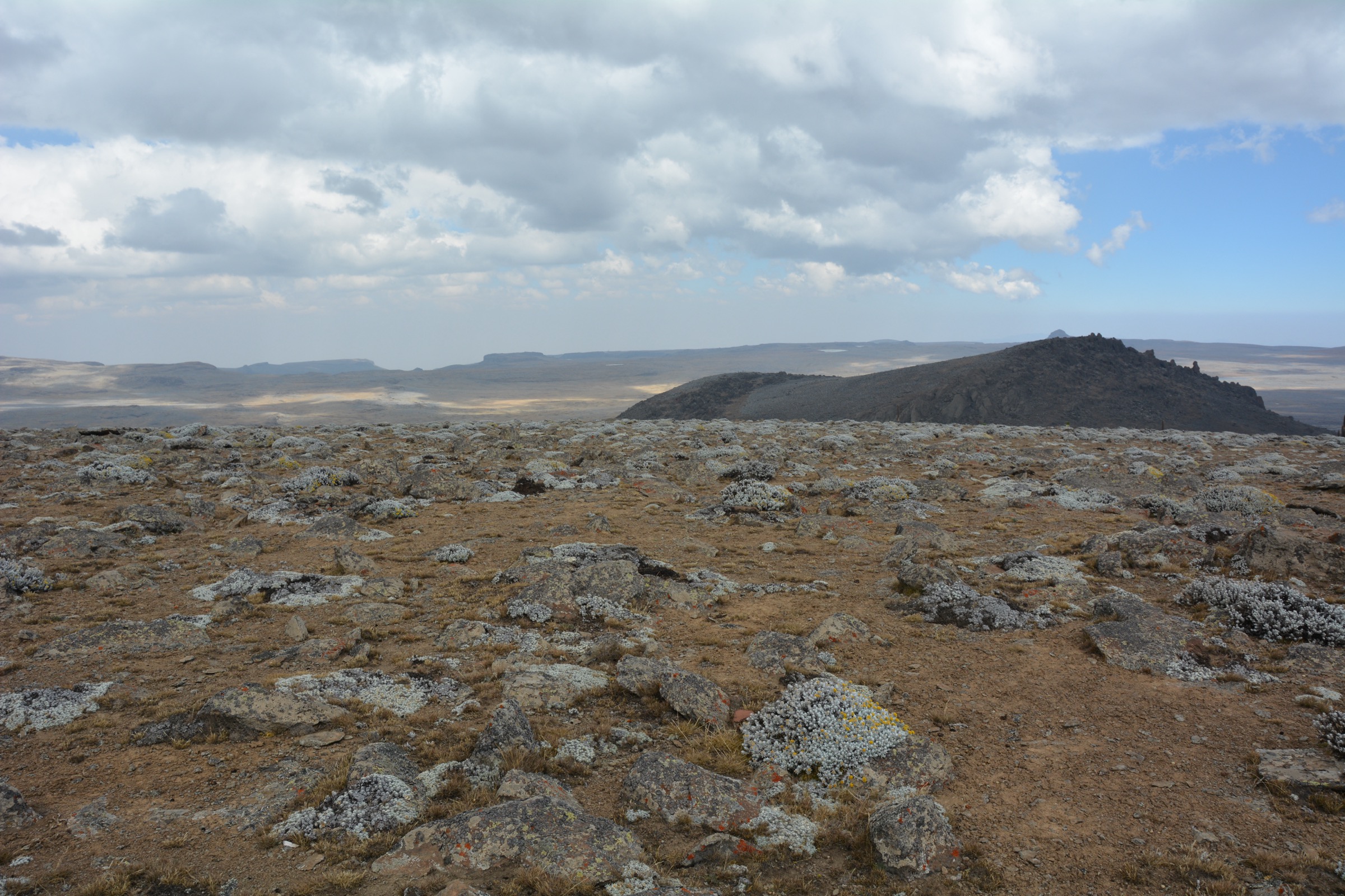
- No licence-compatible route-specific photos found; no cover image has been selected yet for this article.
- Park entry rules, guide requirements, dog rules, and public transport access remain unresolved.
- Current Oromia security/access conditions must be checked before publication.
External links
| Source | URL |
|---|---|
| Wikipedia — Arsi Mountains National Park | en.wikipedia.org |
| Wikipedia — Mount Chilalo | en.wikipedia.org |
| Wikipedia — Arsi Zone | en.wikipedia.org |
| U.S. State Department — Ethiopia travel advisory | travel.state.gov |
| OpenStreetMap | openstreetmap.org |
| Wikimedia Commons MediaSearch | commons.wikimedia.org |
| Wikiloc search | wikiloc.com |
| AllTrails search | alltrails.com |