.jpg)
Regional overview
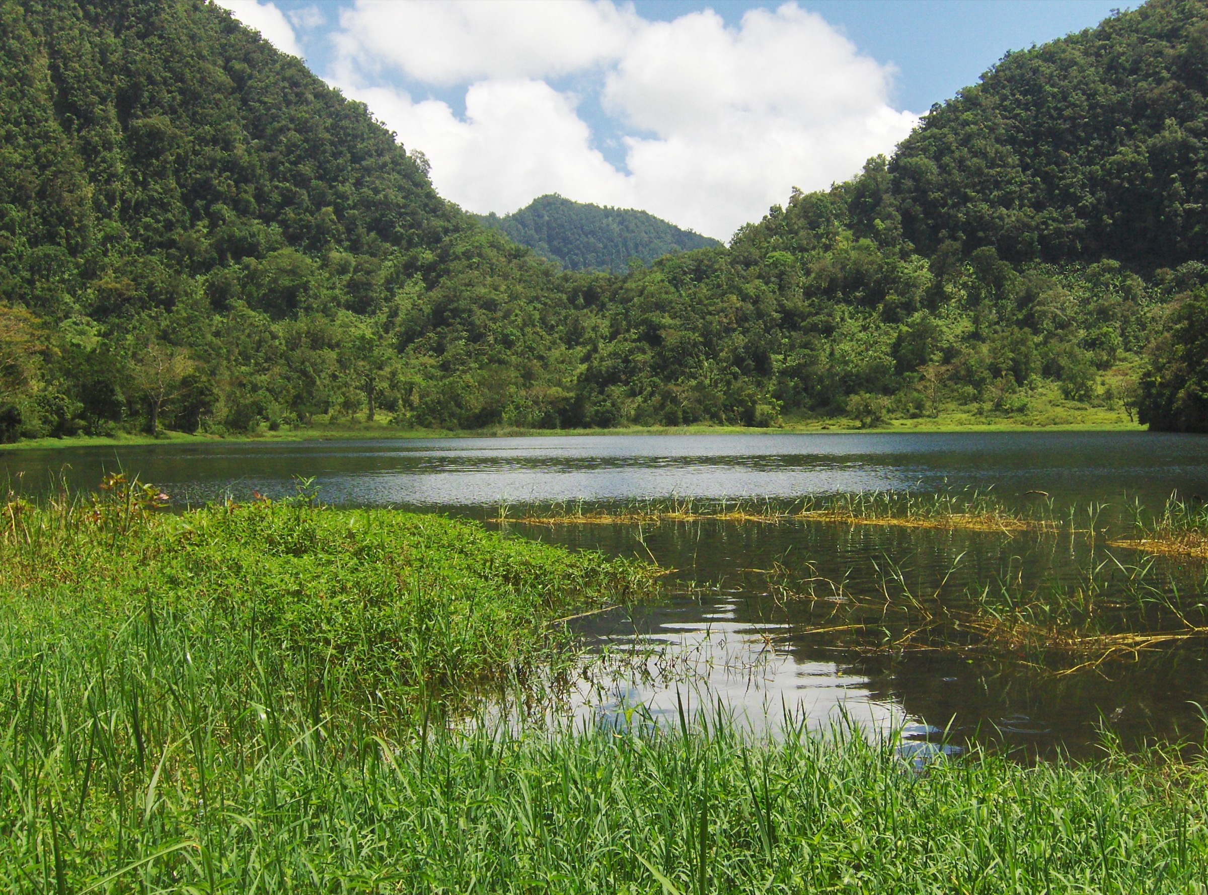
Grande Comore is the youngest and most volcanic of the main Comoros islands. The walking focus is Mount Karthala, an active shield volcano and the national high point, with humid montane forest on the middle slopes, heath and lava terrain higher up, and a large summit caldera. The Ramsar profile for Le Karthala records a protected wetland/montane-forest site of 13,000 ha, from about 800 m to 2,361 m, with the main town of Moroni only about 7 km away by air.
The best-supported day hike is the long ascent of Karthala from the Mvouni side. Other Grande Comore volcanic walks are included as candidate research targets because the island has recognised volcanic features, notably La Grille in the north and lava-coast formations, but public route geometry and current access information are sparse.
The normal weather pattern is tropical, with a hot wetter season from roughly November to April and a cooler, less humid season from roughly May to October. Karthala is an active volcano; Smithsonian GVP records a 2007 last known eruption and 2022 unrest reports. Current volcanic alerts, guide availability, and local access arrangements must be checked before publication or field use.
Selection rationale
This selection keeps the Karthala summit as the anchor route, then adds four Grande Comore volcanic-landscape candidates to represent forest, crater, ridge, lava-field, and coastal-volcano walking. Only the Karthala summit route has enough public route-stat evidence to be treated as partially verified.
Summary table
| # | Hike | Country | Route type | Distance | Gain | Max elevation | Difficulty |
|---|---|---|---|---|---|---|---|
| 1 | Mount Karthala summit caldera from Mvouni | Comoros | Out-and-back | 25.4 km | 1,999 m | 2,346-2,361 m | Hard |
| 2 | Karthala west-slope forest / La Convalescence approach | Comoros | Unresolved | Unresolved | Unresolved | Unresolved | Candidate only |
| 3 | La Grille northern volcanic ridge | Comoros | Unresolved | Unresolved | Unresolved | 1,087 m | Candidate only |
| 4 | Lac Sale / Niamawi lava-coast walk | Comoros | Unresolved | Unresolved | Unresolved | Unresolved | Candidate only |
| 5 | Iconi crater / Dos du Dragon viewpoint walk | Comoros | Unresolved | Unresolved | Unresolved | Unresolved | Candidate only |
1. Mount Karthala summit caldera from Mvouni
Snapshot
Itinerary
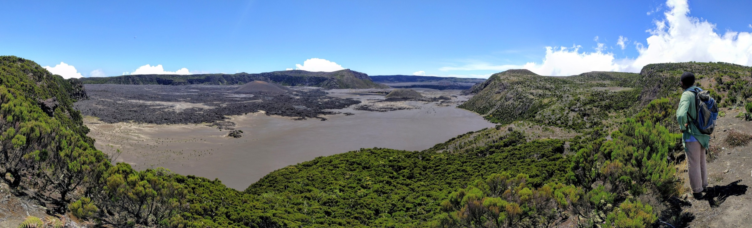
The route climbs from the Mvouni side through lower cultivated ground and humid Karthala forest, then continues into higher heath, ash, and lava terrain before reaching the summit caldera area. The upper section is long, exposed to cloud, rain, and volcanic weathering, and has little water. The return normally follows the same line.
Why it is essential
This is the definitive Grande Comore mountain hike: it reaches the active Karthala volcano, the high point of Comoros, and the main volcanic landscape protected in the Le Karthala Ramsar site and Karthala National Park.
Equipment
- Sturdy boots, rain shell, warm layer for the summit, sun protection, headtorch, map/GPS, navigation backup.
- Enough water for a full day; the upper mountain has little reliable water.
- A local guide is strongly recommended and may be practically necessary because the Ramsar profile notes that Karthala did not have a marked ascent path in the source period.
Hazards and notes
- The route is unusually strenuous for a day hike, exceeding the normal project ascent preference but included because it is the iconic route of the region.
- Hazards include volcanic unrest, poor visibility in cloud, ash/lava footing, tropical rain, dehydration, and a very long descent.
- Check current Karthala Volcano Observatory / civil-protection advice before departure.
GPX / KML links
| Source | URL | Format / access | Reuse status |
|---|---|---|---|
| AllTrails: Karthala | alltrails.com | Source map / trail database route | AllTrails terms apply; GPX reuse not confirmed |
| OpenStreetMap search: Mount Karthala Mvouni Comoros | openstreetmap.org | Map / search | OSM data is ODbL; geometry cross-check only |
External links
- AllTrails — Karthala
- Ramsar Sites Information Service — Le Karthala
- Smithsonian Global Volcanism Program — Karthala
- Protected Planet — Parc National du Karthala
- Wikimedia Commons — Mount Karthala
2. Karthala west-slope forest / La Convalescence approach
Snapshot
Itinerary
This candidate targets the humid west-slope Karthala forest and the historic La Convalescence access area mentioned in the Ramsar information sheet as a weekend halt near the proposed protected site. A publishable route still needs a mapped line, agreed public access, and measured statistics.
Why it is essential
The Karthala forest is a central part of the region’s ecological value, with endemic birds, tree ferns, orchids, and cloud-forest habitat. A lower forest route would provide a shorter alternative to the full caldera ascent if a legitimate trail is confirmed.
Equipment
- Standard to mountain hiking equipment: sturdy footwear, rain protection, water, sun protection.
- Navigation backup for unmarked forest tracks.
Hazards and notes
- Route-finding, muddy forest tracks, private/cultivated land, and protected-area access rules are unresolved.
- Do not publish as a recommended route until local permissions and a mapped trail are verified.
GPX / KML links
| Source | URL | Format / access | Reuse status |
|---|---|---|---|
| OpenStreetMap search: La Convalescence Karthala Comoros | openstreetmap.org | Map / search | OSM data is ODbL; candidate geometry cross-check only |
External links
3. La Grille northern volcanic ridge
Snapshot
Itinerary
The candidate objective is a ridge or cone walk on La Grille, the northern Grande Comore shield volcano. Published route data was not verified in this pass. A future route should identify an official or locally accepted trailhead and avoid informal shortcuts through cultivated land.
Why it is essential
La Grille balances the Karthala-centred selection by representing Grande Comore’s northern volcanic ridge and scoria-cone landscape. BirdLife/secondary summaries identify the higher slopes as an Important Bird Area, but no day-hike route has been verified.
Equipment
- Standard hiking equipment with sun protection, water, and navigation backup.
Hazards and notes
- Access, land tenure, trail condition, water, and route-finding are unresolved.
- The candidate should remain unpublished until a usable track and local permissions are confirmed.
GPX / KML links
| Source | URL | Format / access | Reuse status |
|---|---|---|---|
| OpenStreetMap search: La Grille Grande Comore | openstreetmap.org | Map / search | OSM data is ODbL; candidate geometry cross-check only |
External links
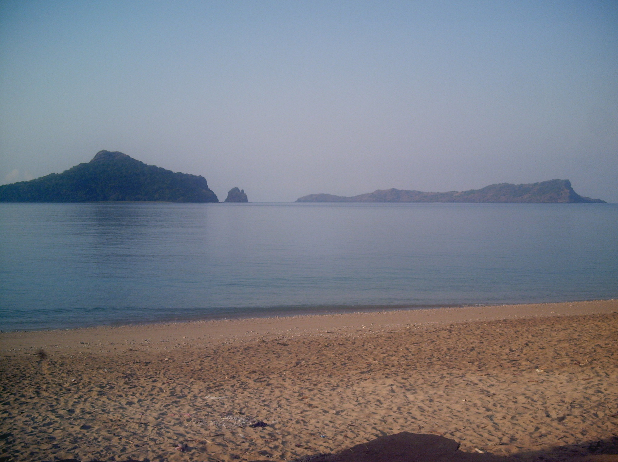
4. Lac Sale / Niamawi lava-coast walk
Snapshot
Itinerary
This candidate targets the northern Grande Comore volcanic coast around Lac Sale / Niamawi and adjacent lava-field viewpoints. A route line, trailhead, safety notes, and legal access conditions were not verified in this pass.
Why it is essential
The route would add a low-elevation lava-coast and crater-lake style walk to the otherwise summit-focused Grande Comore selection. It remains a research target, not a publication-ready day hike.
Equipment
- Standard hiking equipment, with strong sun protection and ample water.
Hazards and notes
- Heat, rough lava, cliff/shoreline exposure, private access, and lack of shade may be significant.
- Swimming, coastal access, and protected-area rules were not verified.
GPX / KML links
| Source | URL | Format / access | Reuse status |
|---|---|---|---|
| OpenStreetMap search: Lac Sale Grande Comore | openstreetmap.org | Map / search | OSM data is ODbL; candidate geometry cross-check only |
External links
5. Iconi crater / Dos du Dragon viewpoint walk
Snapshot
Itinerary
The candidate objective is a short volcanic viewpoint walk in the Iconi / Dos du Dragon area west of Karthala. No official route, measured statistics, or open GPX was verified in this pass.
Why it is essential
If confirmed, this would represent Grande Comore’s accessible crater-and-coast viewpoints near the Moroni side of the island, complementing the much longer Karthala ascent.
Equipment
- Standard hiking equipment, with sun protection and water.
Hazards and notes
- The route should remain candidate-only until access, trail condition, exposure, and local land permissions are verified.
GPX / KML links
| Source | URL | Format / access | Reuse status |
|---|---|---|---|
| OpenStreetMap search: Iconi Comoros Dos du Dragon | openstreetmap.org | Map / search | OSM data is ODbL; candidate geometry cross-check only |
External links
Missing data / follow-up work
- No official Karthala GPX/KML was found; AllTrails provides the measured source route but not confirmed reusable GPX.
- Karthala guide requirements, fees, and trailhead logistics need current local confirmation.
- Hikes 2-5 are candidate-only because measured route statistics and legal route geometry were not verified.
- No licence-compatible route-specific images were verified for La Grille, Lac Sale, or Iconi in this pass.
- Current volcanic alert status must be checked before any Karthala ascent.
External links
| Source | URL |
|---|---|
| AllTrails — Karthala | alltrails.com |
| Ramsar Sites Information Service — Le Karthala | rsis.ramsar.org |
| Ramsar RIS PDF — Le Karthala | rsis.ramsar.org |
| Smithsonian Global Volcanism Program — Karthala | volcano.si.edu |
| Protected Planet — Parc National du Karthala | protectedplanet.net |
| Wikipedia — La Grille | en.wikipedia.org |