Regional overview
Chengde, the former Rehe summer capital, sits in a Yanshan mountain basin north of Beijing. Its day hikes are a mix of imperial landscape walking, Buddhist-temple viewpoints, sandstone towers, forested ridges, and highland steppe/forest routes. Unlike the Great Wall sectors closer to Beijing, many routes here are managed scenic-area walks rather than open long-distance trails.
The best hiking season is spring through autumn. Summer is cooler than Beijing but wet storms can affect exposed paths; winter can be icy and scenic-area transport may be reduced. Route-file coverage is limited, so several statistics below are marked approximate or unresolved.
Selection rationale
The five hikes balance the UNESCO Mountain Resort, Chengde’s named rock formations, the high Yanshan summit landscape of Wuling Mountain, and the northern Rehe forest-steppe of Saihanba. They are selected for cultural importance as much as pure trail geometry.
Summary table
| # | Hike | Country | Route type | Distance | Gain | Max elevation | Difficulty |
|---|---|---|---|---|---|---|---|
| 1 | Chengde Mountain Resort Mountain-Wall Circuit | China | Scenic-area loop | Approx. 8-12 km | Moderate | ||
| 2 | Qingchui Peak / Sledgehammer Rock Walk | China | Out-and-back / scenic loop | Approx. 3-5 km | Moderate | ||
| 3 | Shuangta Mountain Scenic Area Loop | China | Scenic-area loop | Approx. 3-6 km | Easy-moderate | ||
| 4 | Wuling Mountain Main Peak / Qingliangjie Day Hike | China | Summit / ridge variants | Approx. 8-15 km depending shuttle use | 2,118 m | Moderate-hard | |
| 5 | Saihanba Qixing Lake and Forest-Steppe Walk | China | Boardwalk / local loop variants | Approx. 5-10 km | Easy-moderate |
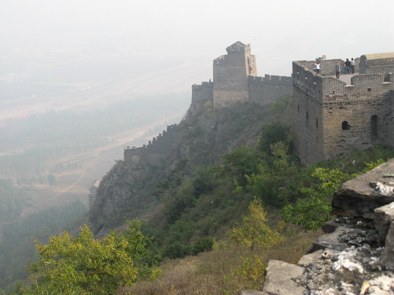
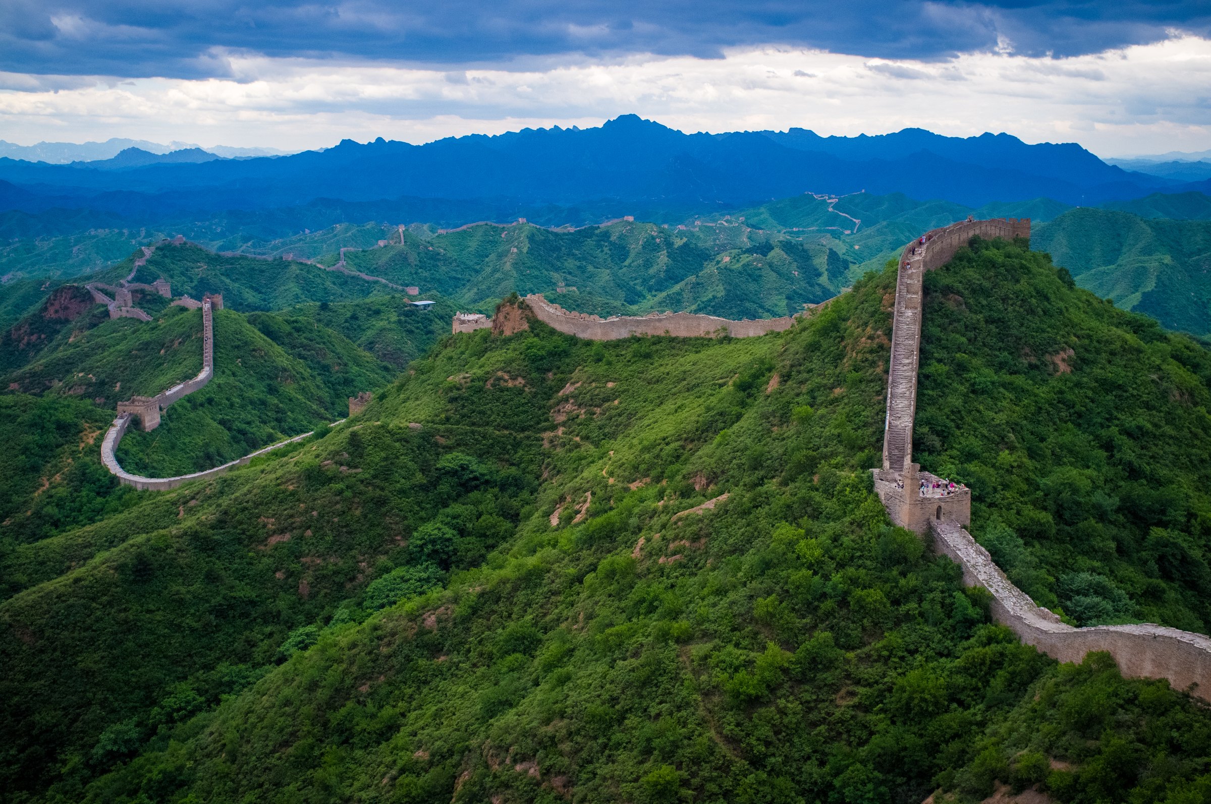
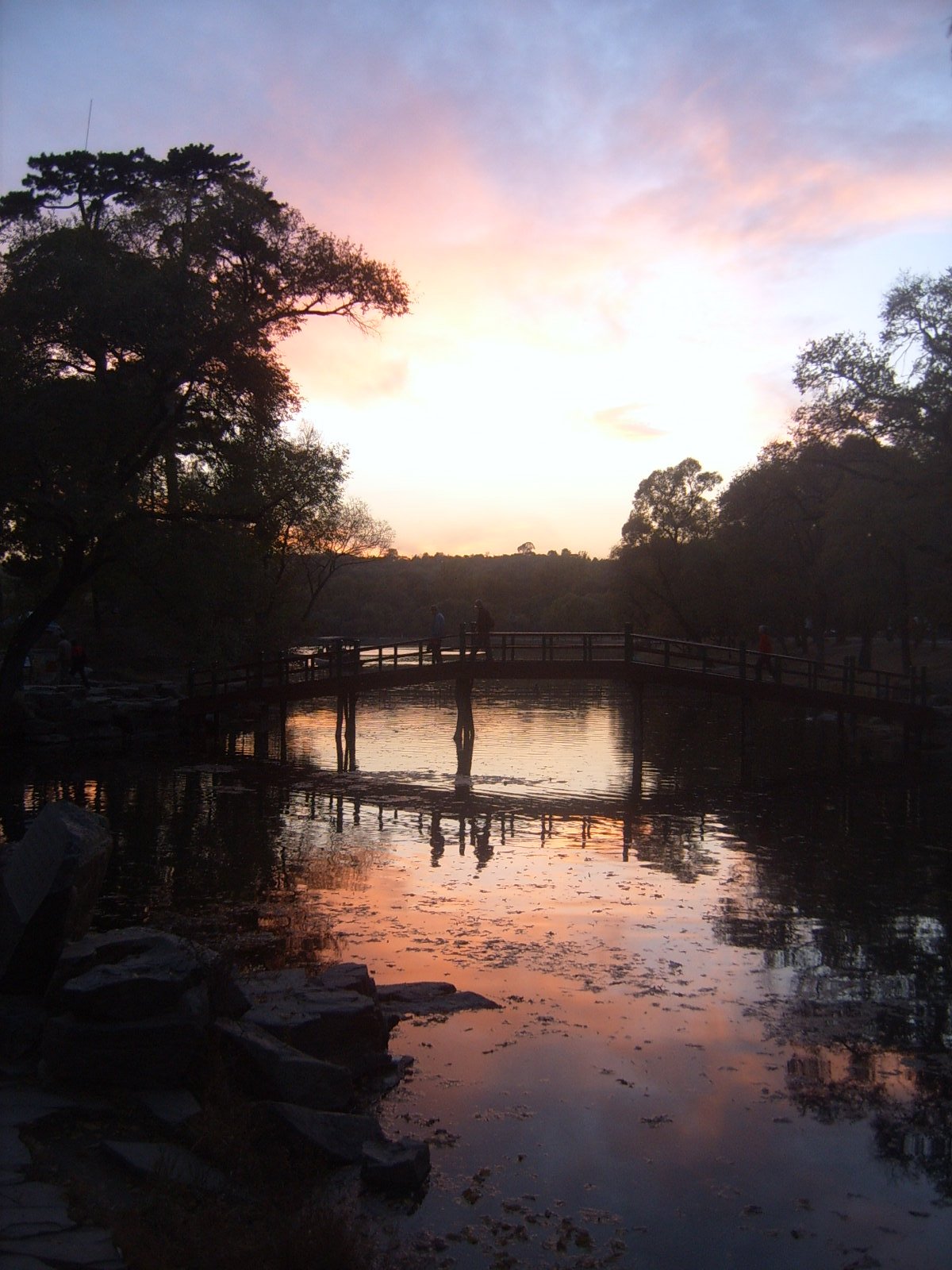
1. Chengde Mountain Resort Mountain-Wall Circuit
Snapshot
Itinerary
Enter the Mountain Resort, the Qing imperial summer retreat, and link the palace precinct with the lake district, plain and mountain area. A full walking day climbs toward the perimeter wall and viewpoints over the resort, Chengde basin, and outlying temples before returning through the water gardens.
Why it is essential
This is the cultural anchor of the Rehe mountains. UNESCO identifies the Mountain Resort and its temples as a major Qing imperial landscape, and the mountain-wall circuit gives a rare mix of historic garden design and Yanshan basin views.
Equipment
Comfortable walking shoes, water, sun protection, rain shell, warm layer in shoulder seasons, and enough time for a large scenic area.
Hazards and notes
Wayfinding is easier than in wild terrain but routes can be long, hot and exposed on upper paths. Some mountain-area access may depend on seasonal operations or internal shuttles.
GPX / KML links
| Source | URL | Format / access | Reuse status |
|---|---|---|---|
| OpenStreetMap search: Chengde Mountain Resort | openstreetmap.org | Map / search | OSM data is ODbL; geometry cross-check only |
| UNESCO: Mountain Resort and Outlying Temples | whc.unesco.org | Protected-area source page | No route-file licence found; cultural/geographic verification only |
External links
- UNESCO — Mountain Resort and its Outlying Temples
- China Discovery — Chengde Mountain Resort
- TravelChinaGuide — Chengde Mountain Resort
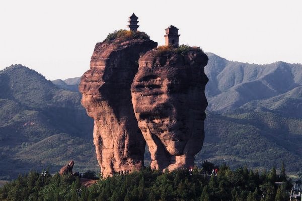
2. Qingchui Peak / Sledgehammer Rock Walk
Snapshot
Itinerary
Walk from the Qingchui Peak scenic-area entrance through forested slopes to viewpoints below and around the isolated Sledgehammer Rock, a narrow stone column visible from parts of Chengde. Some visitors combine walking with cable-car access; the catalogue route assumes a walking-focused visit on open park paths.
Why it is essential
Qingchui Peak is Chengde’s clearest natural-landform hike: a named rock tower above the imperial city, with views back toward the Mountain Resort and temples.
Equipment
Walking shoes, water, sun protection, rain shell, and traction in icy shoulder-season conditions.
Hazards and notes
Exact trail statistics and current cable-car/path operation were not verified from an official downloadable map. Stay on marked park paths; rock scrambling is not part of this route.
GPX / KML links
| Source | URL | Format / access | Reuse status |
|---|---|---|---|
| OpenStreetMap search: Qingchui Peak Chengde | openstreetmap.org | Map / search | OSM data is ODbL; geometry cross-check only |
| TravelChinaGuide: Sledgehammer Peak | travelchinaguide.com | Source page | No route-file licence found; attraction/access context only |
External links
3. Shuangta Mountain Scenic Area Loop
Snapshot
Itinerary
Follow the scenic-area paths and viewpoints around the twin rock columns that give Shuangta Mountain its name. The route is more of a park-and-viewpoint circuit than a wilderness hike, with optional side paths and photography stops.
Why it is essential
Shuangta Mountain is one of Chengde’s most recognizable natural monuments and complements the Mountain Resort by showing the region’s sandstone tower landscape.
Equipment
Walking shoes, water, sun protection and rain shell. Trekking poles are optional for steps.
Hazards and notes
Exact route distance and ascent remain unresolved. Some trails, viewing platforms or side paths may close in bad weather or maintenance.
GPX / KML links
| Source | URL | Format / access | Reuse status |
|---|---|---|---|
| OpenStreetMap search: Shuangta Mountain Chengde | openstreetmap.org | Map / search | OSM data is ODbL; geometry cross-check only |
| TravelChinaGuide: Shuangta Mountain | travelchinaguide.com | Source page | No route-file licence found; attraction context only |
External links
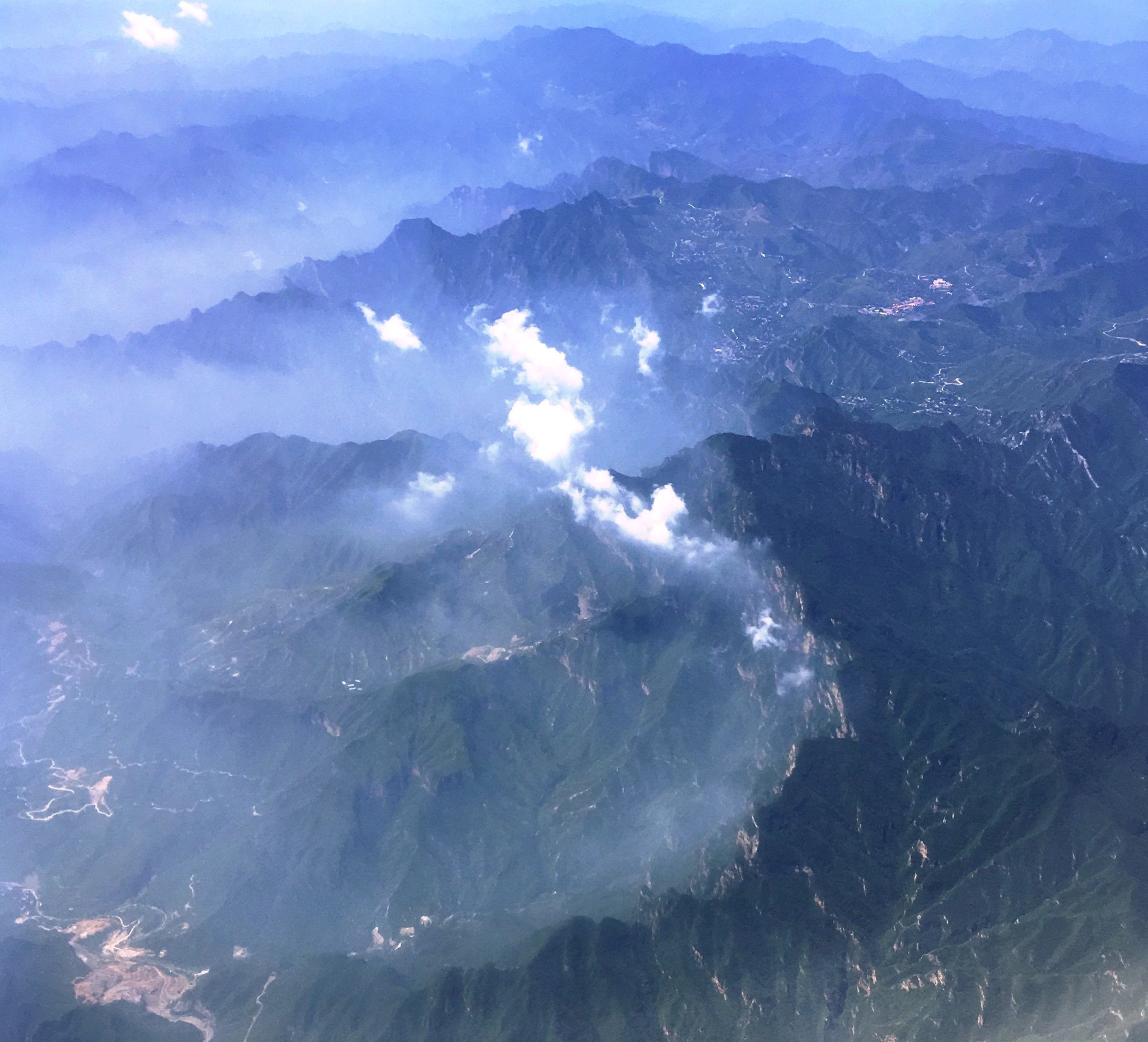
4. Wuling Mountain Main Peak / Qingliangjie Day Hike
Snapshot
Itinerary
Use the current open Wuling Mountain scenic-area gate and internal roads or shuttles to reach the high forest and ridge zone, then walk toward the main peak/Qingliangjie viewpoints on open trails. The exact day route changes with gate operations and shuttle rules, so this entry records the summit objective rather than a fixed GPX line.
Why it is essential
Wuling Mountain is the high natural summit of the eastern Yanshan system and gives the Rehe catalogue a true mountain-forest day, unlike the shorter Chengde city scenic areas.
Equipment
Mountain hiking shoes, warm layer, waterproof shell, water, food, sun protection, offline map, headlamp and emergency layer. Carry more insulation than in Chengde city.
Hazards and notes
Weather changes quickly at 2,000 m. Scenic-area gates, shuttles and high paths may close seasonally or during storms. Exact route stats need a current official park map or local GPX before publication as a mapped hike.
GPX / KML links
| Source | URL | Format / access | Reuse status |
|---|---|---|---|
| OpenStreetMap search: Wuling Mountain Hebei | openstreetmap.org | Map / search | OSM data is ODbL; geometry cross-check only |
| Visit Beijing: Wuling Mountain | english.visitbeijing.com.cn | Source page | No route-file licence found; summit/elevation context only |
External links
- Visit Beijing — Wuling Mountain
- TravelChinaGuide — Wuling Mountain
- China Discovery — Chengde nature and mountain context
5. Saihanba Qixing Lake and Forest-Steppe Walk
Snapshot
Itinerary
Use Qixing Lake as the anchor and link boardwalks, wetland viewpoints, forest roads and grassland edges within the Saihanba scenic area. This is a highland landscape walk rather than a summit hike, but it captures the northern Rehe transition from Yanshan forest to steppe.
Why it is essential
Saihanba is vital to the Rehe hiking story because it represents the Mulan Paddock highlands and modern reforestation landscape north of Chengde.
Equipment
Comfortable walking shoes, wind layer, rain shell, sun protection, water, insect protection in summer and warm clothing outside midsummer.
Hazards and notes
Route length, open boardwalk sections and internal scenic-area transport need current confirmation. Summer storms and exposed wind are common planning issues; winter travel can be severe.
GPX / KML links
| Source | URL | Format / access | Reuse status |
|---|---|---|---|
| OpenStreetMap search: Saihanba Qixing Lake | openstreetmap.org | Map / search | OSM data is ODbL; geometry cross-check only |
| TravelChinaGuide: Saihanba | travelchinaguide.com | Source page | No route-file licence found; scenic-area context only |
External links
External links
| Source | URL |
|---|---|
| UNESCO — Chengde Mountain Resort and Outlying Temples | whc.unesco.org |
| TravelChinaGuide — Chengde attractions | travelchinaguide.com |
| TravelChinaGuide — Chengde Mountain Resort | travelchinaguide.com |
| TravelChinaGuide — Sledgehammer Peak | travelchinaguide.com |
| TravelChinaGuide — Shuangta Mountain | travelchinaguide.com |
| TravelChinaGuide — Wuling Mountain | travelchinaguide.com |
| TravelChinaGuide — Saihanba | travelchinaguide.com |
| China Discovery — Chengde travel guide | chinadiscovery.com |
| China Discovery — Chengde Mountain Resort | chinadiscovery.com |
| China Discovery — Qingchui Peak | chinadiscovery.com |
| China Discovery — Saihanba | chinadiscovery.com |
| LoongWander — Chengde travel guide | loongwander.com |
| Visit Beijing — Wuling Mountain | english.visitbeijing.com.cn |