Regional overview
The Xuefeng Mountains (雪峰山脉, Xuěfēng Shānmài) run as a long, narrow NE–SW spine for roughly 300–350 km through western Hunan, from the Nanling foothills on the Hunan–Guangxi border up to the Dongting Lake plain. The range is 80–120 km wide and crosses parts of Shaoyang, Huaihua and Loudi prefecture-level cities, with subsidiary spurs reaching into Yiyang and Changde. It is the eastern shoulder of the Yunnan–Guizhou Plateau and is treated in Chinese physical geography as one of the marker boundaries between China’s second and third topographic steps. Within Hunan it acts as the principal watershed between the Yuanjiang (沅江) drainage to the west and the Zijiang (资江) drainage to the east, and separates the moister, more Yunnan-influenced western Hunan uplands from the central Hunan basins.
Geologically the range is built on a Proterozoic to Cambrian clastic basement of slate, quartzite and sandstone — the Banxi Group and overlying Sinian–Cambrian sequences — strongly folded during the Caledonian orogeny and reworked by later Indosinian and Yanshanian deformation. The result is a NE–SW grain of long, parallel ridges incised by deep V-shaped gorges where the Yuanjiang tributaries (Wushui, Xushui, Chenshui) and the upper Zijiang cut across the structural strike. The highest summits sit around 1,900–2,000 m. Subaoding (苏宝顶), on the Hongjiang City / Dongkou County / Suining County boundary, is the recognised main peak at 1,934 m; Hupingshan (壶瓶山, 2,098.7 m) in Shimen County is higher but belongs to the Wuling Mountains north of the Xuefeng watershed and is treated as a sibling region. The climate is humid subtropical monsoon: mean annual temperature 14–18 °C at mid-elevations, summit fog year-round, very wet summers (1,400–1,800 mm annual rainfall, peaking June–August), short cold winters with regular rime ice (雾凇, wùsōng) and occasional snow on the higher ridges from December to February.
Culturally, the range sits in one of Hunan’s most ethnically diverse zones. Tujia, Dong, Miao and Yao communities are concentrated in the western and southern foothills, and several of the named hiking destinations lie inside ethnic townships — Longhuantang Yao Ethnic Township above the Yanyingdong gorge, the Huayao (花瑶, “Flower Yao”) sub-group around Shanbei in Xupu County, and Dong villages on the western flank in Tongdao and Suining. Tea-horse and salt-porter old paths thread the ridges, and several routes used by the Red Army’s Second Front during the 1934–35 retreat under He Long (贺龙) are still walked today. The range is also threaded by the Xuefeng Mountains International Hiking Trail (雪峰山国际徒步旅行示范线), a roughly 100–110 km long-distance route designed in 2019 with input from international trail designers Leon McCarron and David Landis and promoted by the Hunan provincial tourism department; sections are usable as day hikes, and several of the routes below correspond to those sections.
Access is primarily from Huaihua (怀化), the regional rail and air hub on the western flank of the range, with the Huaihua–Loudi–Shaoyang corridor of the Hu-Kun (Shanghai–Kunming) high-speed line serving Xinhua, Loudi, Xupu and Huaihua South stations. From Huaihua, county roads and the G65/G60 expressways thread into Hongjiang, Dongkou, Suining, Xupu and Huitong. Hiking infrastructure is modest outside the formally developed scenic areas (Xuefengshan National Forest Park in Hongjiang and Chuanyanshan National Forest Park in Xupu) — most “official” trails are stone-paved scenic loops, while genuine ridge and gorge walking relies on village paths, forestry roads and outdoor-club traces from sites such as 8264 and Liangbulu (两步路). Common-sense hazards in the range include very heavy summer thunderstorms, slippery quartzite and slate when wet, leeches (蚂蟥) in the subtropical broadleaf forest from May to September, dense fog on the summit ridges (especially Subaoding and the Bamianshan plateau), and limited mobile coverage in the deeper Yuanjiang tributary gorges. The best hiking season is mid-March to early November, with the cleanest air and views in late October and early November after the autumn monsoon retreats.
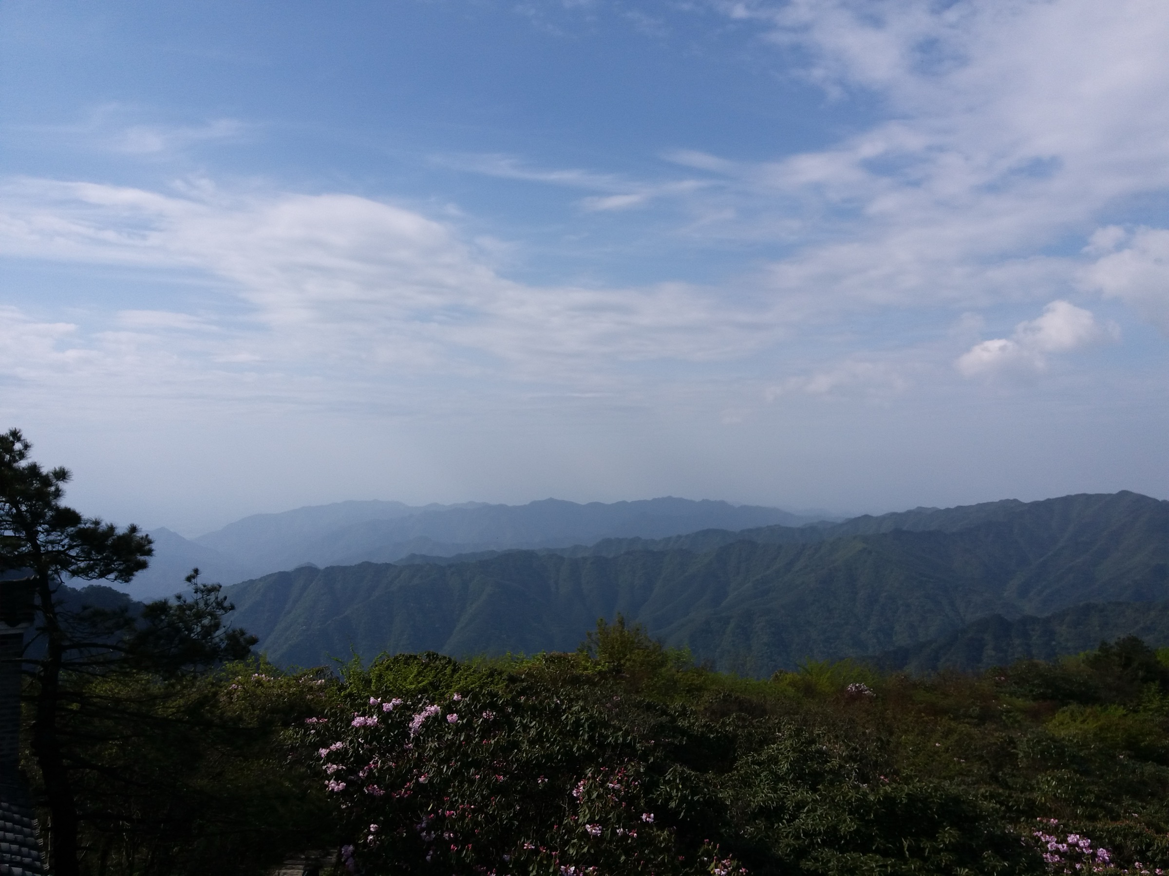
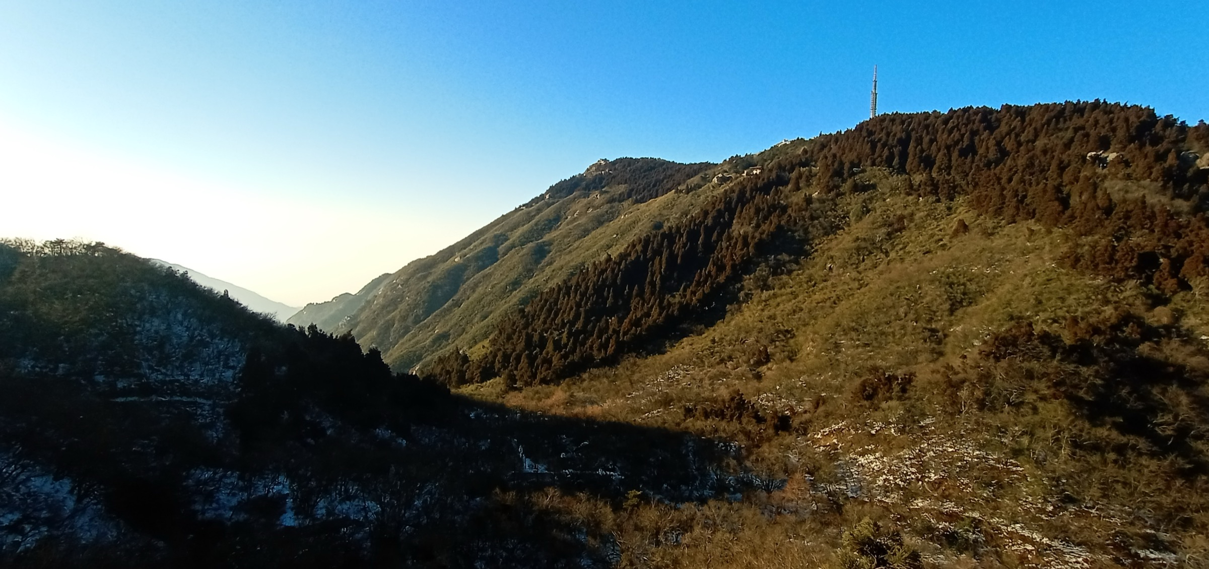
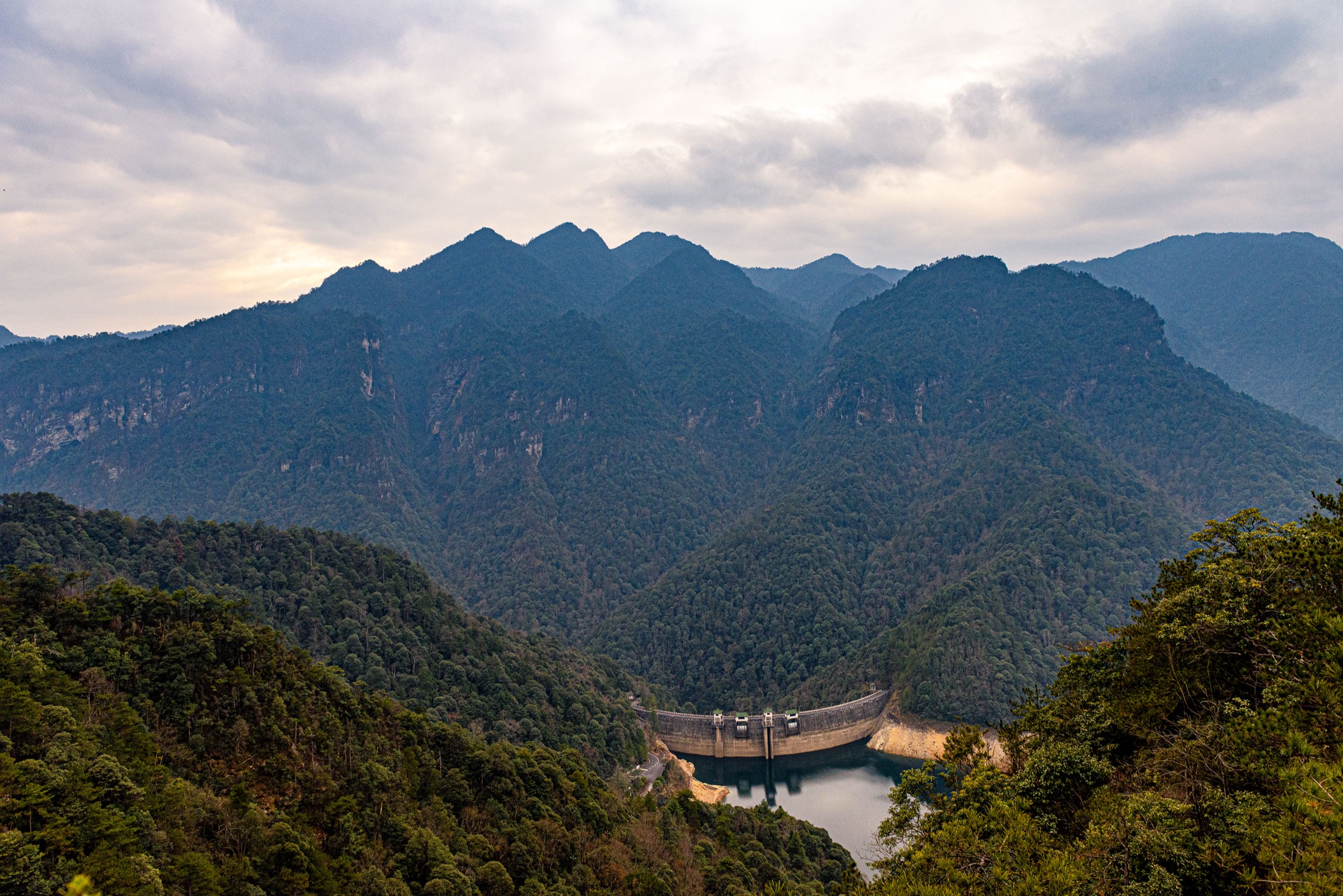
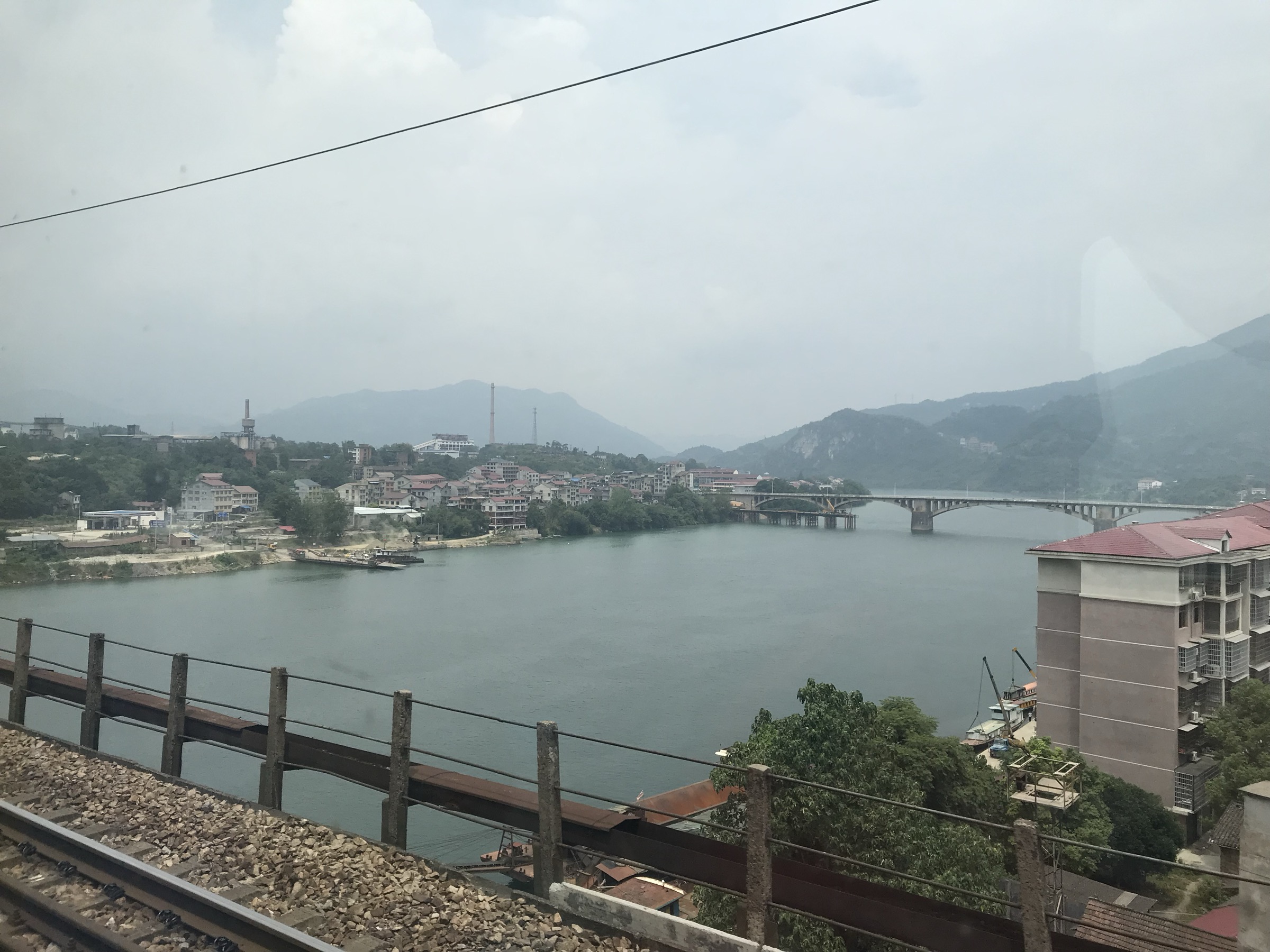
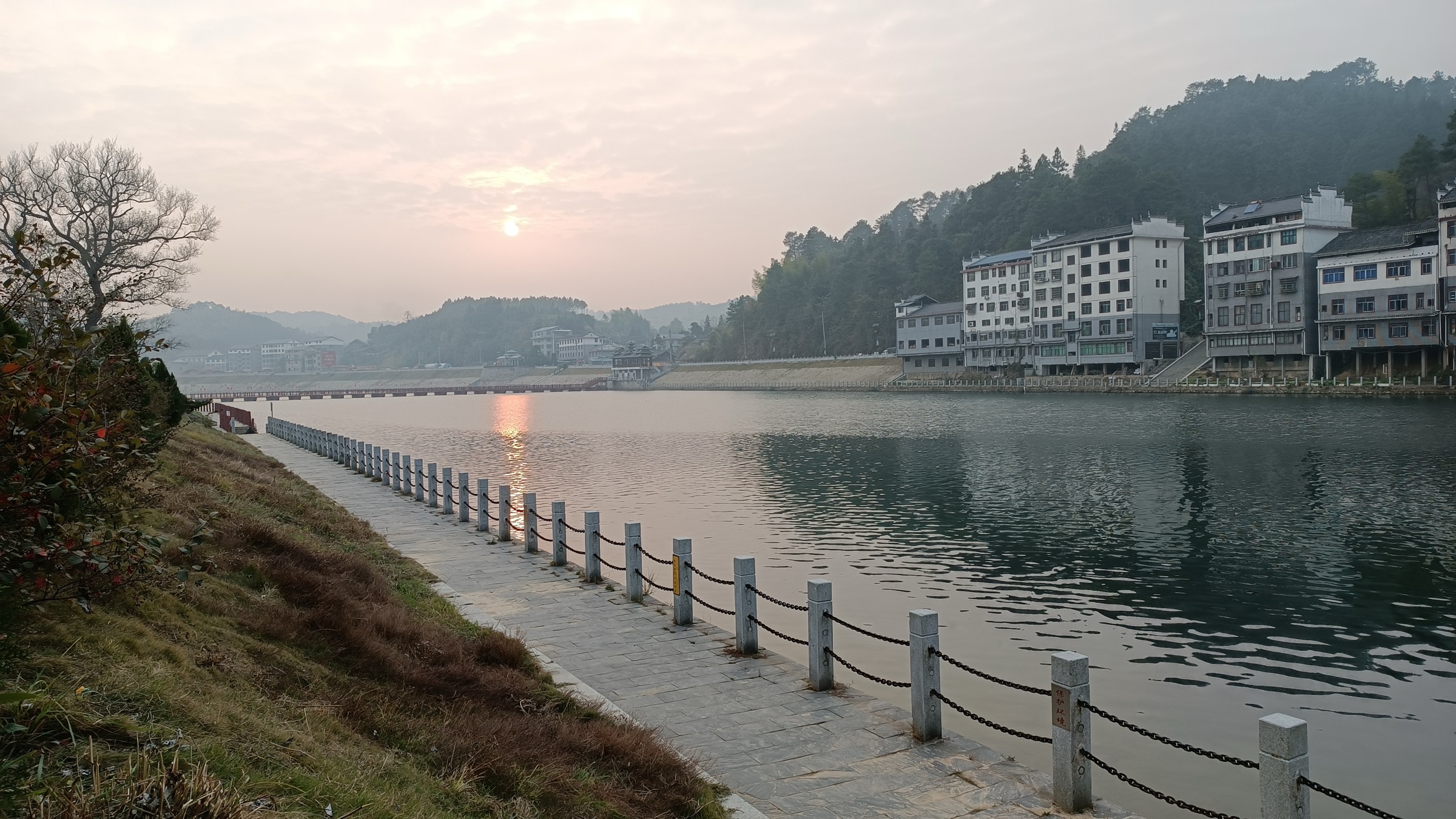
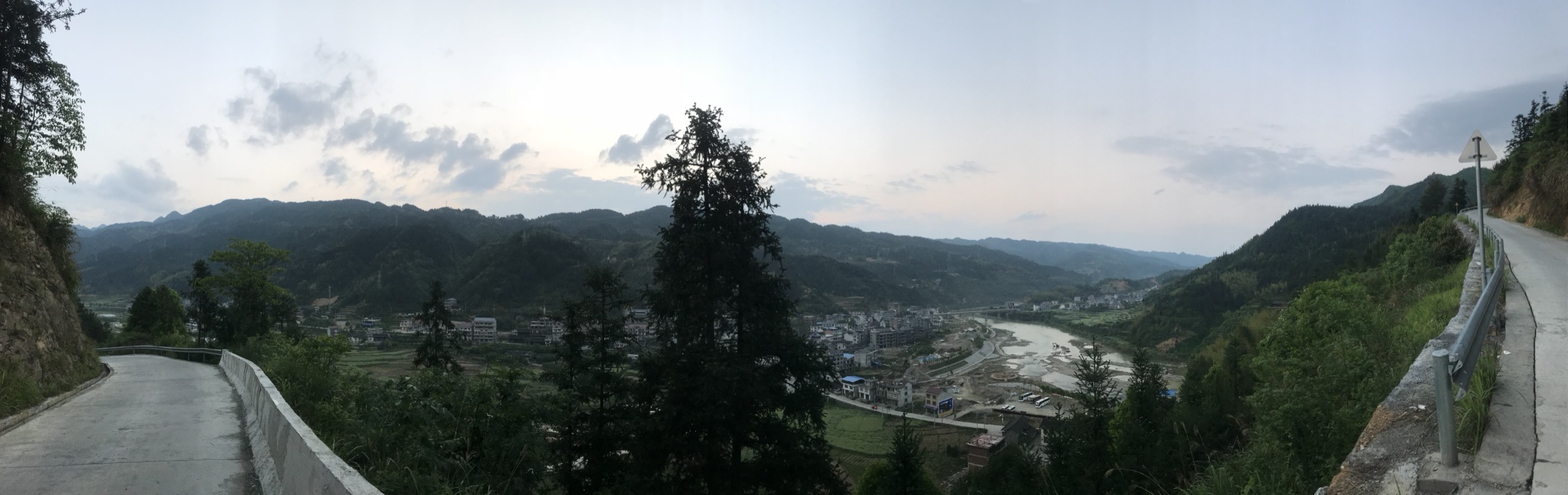
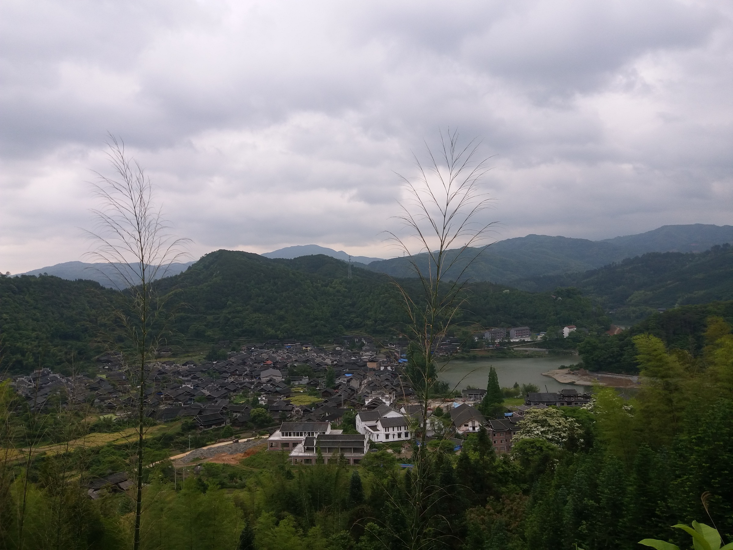
Licence-compatible photography of the Xuefeng range is sparse on open-photo platforms — Wikimedia Commons has no dedicated category for the Xuefeng Mountains, Subaoding, the Yanyingdong gorge or any of the named scenic parks. This entry uses the only landscape images located on the platform that sit physically within the range (a Tongxi Township ridge panorama from the Chuanyanshan area, the Yuan River at Jiangkou in Xupu, the Qu River in Tongdao, and a Huitong-County ancient village in the southern foothills). Photo coverage for Subaoding, the Xuefengshan National Forest Park ridge, the Yanyingdong gorge and the Shanbei Huayao terraces remains an open gap, and those routes are published here as text-only until field photography is commissioned.
Selection rationale
The candidate list mixed Xuefeng-proper sites with several that sit outside the range. Hupingshan (2,098.7 m, Shimen County) was excluded — although it is the highest summit in northern Hunan, it belongs to the Taiqingshan sub-system of the Wuling Mountains, not the Xuefeng range, and is reserved for a Wuling sibling article. Yangmingshan (Yongzhou) was likewise excluded as it sits in the southern Hunan uplands between the Xuefeng tail and the Nanling on the Xiang (湘江) watershed. Wugongshan, Jinggangshan and Hengshan are already covered by sibling articles in this project. The “Wuxi Grand Canyon” known to most search engines is in Chongqing’s Daba Shan, not the Xuefeng range; the Hongjiang/Xuefeng equivalent gorge is locally branded Yanyingdong Grand Canyon and is included here.
The five hikes were chosen to span the geographic length of the range and its principal landscape types: one main summit (Subaoding), one ridge-and-meadow loop (Xuefengshan National Forest Park), one deep clastic-sandstone gorge (Yanyingdong), one cliff-balcony loop (Chuanyanshan) and one cultural terrace ridge (Shanbei). Together they cover the watershed crest, the formally developed scenic estate, the wet-rock gorge landscape, the engineered glass-walk park and the working agricultural landscape of the Huayao Yao community.
Summary table
| # | Hike | Country | Route type | Distance | Gain | Max elevation | Difficulty |
|---|---|---|---|---|---|---|---|
| 1 | Subaoding summit from Jiangkou / Luoweng | China | Out-and-back | 14–18 km | 900–1,100 m | 1,934 m | Strenuous |
| 2 | Xuefengshan NFP — Maoziling / Tianchi loop | China | Loop | 7.5–9 km | 350–450 m | 1,541 m | Moderate |
| 3 | Yanyingdong Grand Canyon | China | Out-and-back | 12–14 km | 300–450 m | ~900 m | Moderate |
| 4 | Chuanyanshan — Nantianmen glass-walk loop | China | Loop | 8–11 km | 500–700 m | ~1,400 m | Moderate |
| 5 | Shanbei Huayao Terraces ridge walk | China | Loop / point-to-point | 10–13 km | 600–800 m | ~1,400–1,500 m | Moderate |
1. Subaoding (苏宝顶) summit day
Snapshot
Itinerary
Subaoding is the recognised main peak of the Xuefeng range and the summit of the Luoweng Bamianshan massif (罗翁八面山苏宝顶). It sits on the watershed between the Yuanjiang basin (west, towards Hongjiang and the Wushui) and the Zijiang basin (east, towards Dongkou and Suining). Two genuine day-hike approaches exist.
The traditional approach climbs from Jiangkou (江口镇) in Hongjiang. From the village at around 480 m a paved-then-gravel forestry road climbs the western flank for roughly 8 km to a saddle and small camp area used by outdoor groups (locally called Shuidaping / 水打坪). From the saddle a clear ridge path heads east-north-east through dwarf bamboo and stunted broadleaf forest, with several false summits, before reaching the open grassy crown of Subaoding at 1,934 m. On a clear morning the summit gives an uninterrupted 360° panorama: the Yuanjiang valley and Wushui gorges to the west, the Bamianshan plateau and Dongkou basin to the east, and the long axis of the Xuefeng range running NE–SW. Return is by the ascent route.
The faster modern approach drives a forestry road from the Suining / Hongjiang side to roughly 1,550–1,600 m, leaving a 2–3 hour return walk on a maintained path. Several outdoor-club trip reports describe a two-day “Yanyingdong → Shuidaping → Subaoding → Luoweng” traverse of around 37 km; the summit-day portion of that traverse (Shuidaping → Subaoding → Luoweng) is around 12 km with ~600 m of climbing and is the cleanest “essential day-hike” subset.
Why it is essential
Subaoding is the highest point of the Xuefeng range and, in every Chinese provincial geography reference, the symbolic summit of the Yuanjiang/Zijiang watershed. No other single point in the region carries the same significance for the range’s identity, and the broad grassy summit gives the clearest possible view of the long Xuefeng axis and of the transition from the Yunnan–Guizhou Plateau to the central Hunan basins.
Equipment
- Sturdy boots and trekking poles for the long descent
- Weatherproof shell — summit weather changes fast
- Warm extra layer year-round (summit temperatures run 10–12 °C below the valley)
- Sun protection
- 2–3 L water (no reliable spring above the forestry road)
- Navigation backup — offline OSM or 两步路 GPX traces; phone signal is patchy
- Headtorch for late returns
- Tick / leech protection (gaiters, repellent) May–September
- Microspikes and additional insulation in winter
Hazards and notes
Fog and low cloud on the summit are the norm, not the exception; a clear summit window is best secured by a pre-dawn start. The Jiangkou forestry road is subject to washouts after heavy summer rain. The summit area is grazed and the path braids; in poor visibility navigation is non-trivial. The peak sits on a county boundary and within the broader Xuefeng Mountains protected zone — wild camping is tolerated by outdoor groups but is not formally authorised. No permit is required for a day hike, but bringing a Chinese ID or passport for any vehicle checkpoints on the forestry road is sensible.
GPX / KML links
| Source | URL | Format | Notes |
|---|---|---|---|
| 8264 outdoor-club trip report — Jiangkou → Shuidaping → Subaoding → Luoweng | 8264.com | Trip report (no embedded GPX) | Geometry usable as reference only; create a fresh GPX from OSM + the description |
| 两步路 (2bulu) event listing — Subaoding–Xupu trek | 2bulu.com | Event page; in-app GPX only | Not directly reusable |
| OpenStreetMap | openstreetmap.org | OSM data (export GPX) | ODbL 1.0; trail coverage is partial |
No official GPX was located. Trailhead coordinates from OSM/Baidu cross-check: Jiangkou (江口镇) ≈ 27.108°N, 110.405°E; summit Subaoding ≈ 27.10°N, 110.49°E. Verify before publication.
Sources
- Hongjiang City Government — Xuefengshan National Forest Park (Jan 2025)
- Dongkou County Government — “雪峰山最高峰苏宝顶惊艳亮相央视”
- Rednet — “徒步雪峰山⑪丨穿越岩鹰洞-苏宝顶”
- 8264 trip report — 徒步穿越怀化雪峰山徒步攻略
- Wikipedia — Xuefeng Mountains
2. Xuefengshan National Forest Park — Maoziling / Tianchi loop
Snapshot
Itinerary
Xuefengshan National Forest Park (湖南雪峰山国家森林公园) sits in eastern Hongjiang City on the main Xuefeng ridge, with a total area of 4,025.9 ha, a mean elevation of around 1,150 m and twelve named summits over 1,500 m. The highest is Laolishan (老栗山) at 1,541 m; the lowest point is Chanziping at 764 m. The Phase I scenic route published by the park and Hongjiang City government is approximately 7.5 km long and links nine signed features: the Lizhiping visitor service area, the Meirengu stream walk (美人谷溯溪), the forest convalescence zone, a primary secondary-forest section, the Xuefeng Sky Pond (雪峰天池), the Pingshantang wetland, the high-altitude weather station (高山气象站), the alpine meadow (高山草甸) and the Maoziling sunrise viewpoint (帽子岭观日出).
A reasonable day-hike interpretation starts at Lizhiping, climbs the Meirengu stream-side trail north-east through old-growth fir and broadleaf forest, crosses the Pingshantang wetland on boardwalk, traces the eastern shoulder of the ridge past the weather station, then breaks out onto the alpine meadow before reaching the Maoziling viewpoint for the long view east towards the Zijiang basin. The descent loops south-west past Xuefeng Sky Pond — a small ridge-top tarn — and returns to the visitor centre. Extending the loop over Laolishan adds roughly 1.5 km and 150 m of climb.
Why it is essential
This is the only formally developed, signed, full-circuit hike on the main Xuefeng ridge. It is the route quoted by Hongjiang City government, the Hunan Forestry Bureau and the park’s own promotion, and gives reliable access to the meadow-and-tarn summit landscape that defines the central Xuefeng. It is the practical “see the range without committing to Subaoding” option.
Equipment
- Standard hiking equipment
- Extra warm layer year-round — the ridge sits above 1,400 m and runs noticeably cooler than the Yuanjiang valley
- Trekking poles for the stone-step descents
- Sun protection in summer
- Light microspikes in midwinter if rime ice has formed
Hazards and notes
The park is fee-paying; current ticket prices and opening hours should be confirmed via the park site or Hongjiang City tourism before travel. Heavy summer thunderstorms can close the ridge and weather station section temporarily. The wetland boardwalk is slippery in fog. Dogs and wild camping inside the park are typically not allowed — confirm at the gate.
GPX / KML links
| Source | URL | Format | Notes |
|---|---|---|---|
| Xuefengshan NFP — park site (route map) | 83088.cn | Web map / illustration | All rights reserved; geometry can be redrawn from OSM + park map |
| OpenStreetMap — forest park boundary | openstreetmap.org | OSM data | ODbL 1.0; internal trail completeness needs ground verification |
Sources
- Hongjiang City Government — Xuefengshan National Forest Park (Jan 2025)
- Hongjiang City Government — earlier park description (2022)
- Hunan Forestry Bureau — Xuefengshan National Forest Park
- Park official site
3. Yanyingdong Grand Canyon (岩鹰洞大峡谷)
Snapshot
Itinerary
Yanyingdong (岩鹰洞 — literally “Eagle-Rock Cave”) is a deep clastic-sandstone gorge on the western front of the Xuefeng range, in Longhuantang Yao Ethnic Township in Hongjiang City. Local tourism sources describe the gorge as 9 km long in total, with the “essence” central section roughly 4.5 km, and quote a 6.7-metre-high eagle cave that gives the gorge its name. Named features include General’s Rock (将军岩), Cattle Nose (牛鼻洞), Water-Curtain Cave (水帘洞), One-Line Sky (一线天) and White Waterfall (白瀑布) — a fairly standard inventory for Hunan sandstone-quartzite gorges. The site is locally marketed as “Huaihua’s Zhangjiajie”.
A practical day-hike interpretation enters the gorge from the lower gate, follows the developed path upstream past the cataracts and the eagle cave, exits at the upper end and returns on the rim trail to give a partial loop. In high water the inner-gorge boardwalks are closed and the rim variant is the only option.
Why it is essential
The Yanyingdong gorge is the showcase example of the Xuefeng range’s deep, narrow, wet sandstone gorges — the same landscape the Yuanjiang tributaries have carved across the entire western flank of the range, but packaged here in a single accessible day-hike. The setting inside a Yao ethnic township also gives the route a cultural dimension that the more developed Xuefengshan park lacks.
Equipment
- Grippy shoes — the inner-gorge stones are continuously wet
- Waterproof shell for the water-curtain sections
- Dry-bag for camera
- Head torch (one of the named features is a cave)
- Leech protection May–September
Hazards and notes
Flash-flood risk is the dominant hazard. Do not enter the gorge during or immediately after heavy rain; the upper Xuefeng catchments can dump several tens of millimetres in an hour. Sections of boardwalk and ladder are exposed to spray and can be slippery year-round. The gorge sits inside an ethnic township; respect village-level signage about access and photography. Mobile signal is intermittent inside the gorge.
GPX / KML links
| Source | URL | Format | Notes |
|---|---|---|---|
| tcmap.com.cn listing — 岩鹰洞 | tcmap.com.cn | HTML description | Descriptive only; no GPX |
| bytravel.cn listing — 岩鹰洞 | bytravel.cn | HTML description | Descriptive only |
| OpenStreetMap | openstreetmap.org | OSM data | ODbL 1.0; canyon centreline is not yet mapped in detail |
No public GPX has been located. The canyon centreline can be digitised from satellite imagery against the published 9 km length figure and ground-truthed on a future visit.
Sources
4. Chuanyanshan — Chuanyan Peak / Nantianmen glass-walk loop
Snapshot
Itinerary
Chuanyanshan National Forest Park (穿岩山国家森林公园) sits on the eastern foot of the Xuefeng range in Xupu County, with a published area of 2,907.37 ha (some sources cite 1,945.56 ha for the original core). It is the eastern showcase of the broader Xuefeng Mountain Tourism Scenic Area (雪峰山旅游景区, AAAA-rated), which also includes the Shanbei Huayao Terraces, Yangquepo Old Village (阳雀坡古村落) and Yan’eju (雁鹅界) cultural sites. Named features on the Chuanyan circuit include Chuanyan Peak (穿岩峰), the South Heaven Gate (南天门), the Lovers’ Gorge (情侣谷), Pine Ridge (奇松岭), a tea-horse old road (茶马古道) and the Yuanbao (Ingot) terraces (元宝梯田). Engineered features added during the park’s 2017–19 upgrade include the Longfeng glass observation deck, the Nantianmen glass slide, the Shangui (Mountain Spirit) high glass-plank walkway and a glass suspension bridge.
A reasonable day-hike combines a stone-step ascent from the visitor centre through Lovers’ Gorge to South Heaven Gate, traverses the cliff balcony over the glass walkway, climbs to Chuanyan Peak, descends past the tea-horse path through the Yuanbao terraces and returns on the lower forest trail. Distances are park-published; the most-used circuit comes to roughly 10 km.
Why it is essential
Chuanyanshan is the most recognised eastern Xuefeng destination, the showcase entry into the AAAA-rated Xuefeng Mountain Tourism Scenic Area, and the practical proxy for the “engineered cliff balcony” landscape that dominates contemporary Hunan mountain tourism. Including it gives a fair picture of what most Chinese visitors actually walk in the Xuefeng range.
Equipment
- Standard hiking equipment
- Cash or WeChat Pay for the separately ticketed glass slide
- Light layers — the ridge stays cool in summer
- Awareness that the glass-walk sections require nothing technical but expose visitors uncomfortable with engineered drops
Hazards and notes
The park is fee-paying; combine tickets cover the core circuit, but glass features are separately ticketed. The new cableway (operational 2025) changes the standard “up-on-foot, down-on-foot” pattern; verify which trailheads are open at the gate. Glass walkways close in thunderstorms. Dogs and drones are restricted inside the scenic area.
GPX / KML links
| Source | URL | Format | Notes |
|---|---|---|---|
| Chuanyanshan NFP — park site | hnchuanyanshan.com | HTML / map illustration | All rights reserved; descriptive only |
| Meet99 scenic-area map | meet99.com | Web map | Site terms; descriptive only |
| OpenStreetMap | openstreetmap.org | OSM data | ODbL 1.0; internal trail mapping is thin |
No public GPX has been located. A GPX can be captured on-site or digitised from OSM after the next round of community trail mapping in the park.
Sources
- Park official site
- Baidu Baike — 雪峰山旅游景区
- Trip.com / Ctrip Chuanyanshan listing
- Voc.com.cn — Chuanyanshan cableway announcement (2025)
5. Shanbei Huayao Terraces ridge walk (山背花瑶梯田)
Snapshot
Itinerary
Shanbei Village sits on the northern flank of the Xuefeng main ridge in Xupu County and is home to a Huayao (花瑶, “Flower Yao”) sub-group community. The terraces here cover an area cited by Hunan provincial tourism as more than 80,000 mu (~5,400 ha) of stepped fields, with the cultivated zone extending from about 300 m in the lower valleys to 1,400–1,500 m on the upper ridge, and more than 1,300 individual step-risers. They are described in promotional material as among the highest-elevation and largest-area terraces in China; the cultivated landscape is dated to a Northern Song origin (~11th century), with major Southern Song / Yuan / Ming expansion.
A reasonable day-hike climbs from the Shanbei car park (~700 m) on a stone village path through the lower terraces, crosses a small col into the upper Huayao hamlet area, follows the ridge path (a section of the Xuefeng Mountains International Hiking Trail) to a high vantage point at roughly 1,400 m, then descends a parallel valley back through the western flank of the terrace amphitheatre. Several intangible-cultural-heritage Huayao craft sites — embroidery, traditional clothing, drum dance — lie on or near the route.
The “Sky City” Xuefeng hiking race (神韵雪峰 · 天空之城) of 34.2 km uses this ridge as part of its course, confirming the route’s status as a developed long-distance segment.
Why it is essential
The Huayao terraces are the headline cultural landscape of the Xuefeng range and the cleanest example in this catalogue of a route that combines a working agricultural landscape, an ethnic-minority community and the broader Xuefeng ridge geography. It also corresponds to a signed section of the Xuefeng Mountains International Hiking Trail, giving it formal trail-network status that the other routes lack.
Equipment
- Standard hiking equipment
- Sun hat and 2 L water — ridge sections have no reliable shade in summer
- Sturdy shoes for the stone field paths
- Trekking poles for the steeper terrace risers
- Light warm layer year-round for the upper ridge
Hazards and notes
The terraces are working farmland — stay on marked paths and do not damage rice bunds. Huayao communities have specific clothing and photography norms; ask before photographing people. Fog can be dense on the ridge sections from May to August. Local shuttle transport between Xupu and Shanbei is informal; confirm return timing in the village before leaving the trailhead.
GPX / KML links
| Source | URL | Format | Notes |
|---|---|---|---|
| Hunan Provincial Department of Culture & Tourism — international hiking trail announcement | whhlyt.hunan.gov.cn | HTML announcement | Descriptive only; route geometry not provided |
| Xupu County Government Shanbei feature (Sep 2024) | xp.gov.cn | HTML | Descriptive only |
| OpenStreetMap | openstreetmap.org | OSM data | ODbL 1.0; coverage of the upper ridge is thin |
No public GPX is currently identified. The ridge segment can be digitised from OSM and the international-hiking-trail route map, then confirmed on-site.
Sources
- Xupu County Government — 溆浦山背村:雪峰山上的瑶乡古韵
- Hunan Provincial Dept. of Culture & Tourism — 雪峰山国际徒步旅行示范线
- Baidu Baike — 山背梯田
- Voc.com.cn — 山背花瑶梯田 (Jul 2025)
External links
| Source | URL |
|---|---|
| Hunan Provincial Government (English) | enghunan.gov.cn |
| Hunan Provincial Department of Culture & Tourism | whhlyt.hunan.gov.cn |
| Hunan Forestry Bureau | lyj.hunan.gov.cn |
| Huaihua Municipal Government (English) | eng.huaihua.gov.cn |
| Hongjiang City Government | hjs.gov.cn |
| Xupu County Government | xp.gov.cn |
| Dongkou County Government | dongkou.gov.cn |
| Xuefengshan National Forest Park | 83088.cn |
| Chuanyanshan National Forest Park | hnchuanyanshan.com |
| Wikipedia — Xuefeng Mountains | en.wikipedia.org |
| Britannica — Xuefeng Mountains | britannica.com |
| Komoot — Hiking in the Xuefeng Mountains | komoot.com |
| South China Morning Post — China’s first world-class hiking trail | scmp.com |
| 8264 — 徒步穿越怀化雪峰山徒步攻略 | 8264.com |
| OpenStreetMap (ODbL 1.0) | openstreetmap.org |