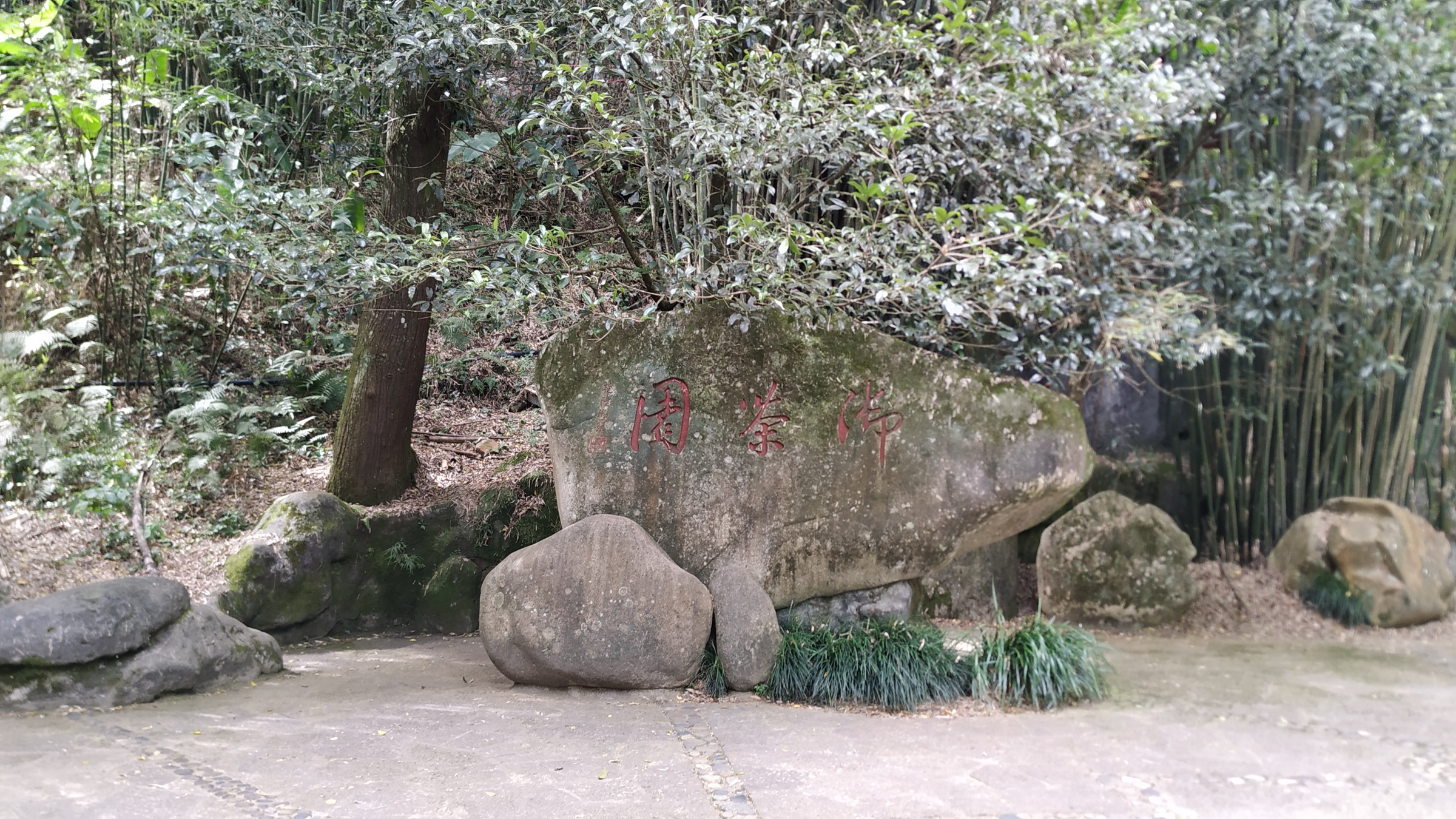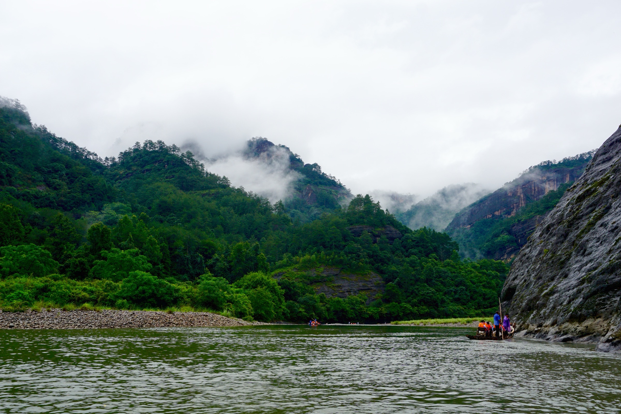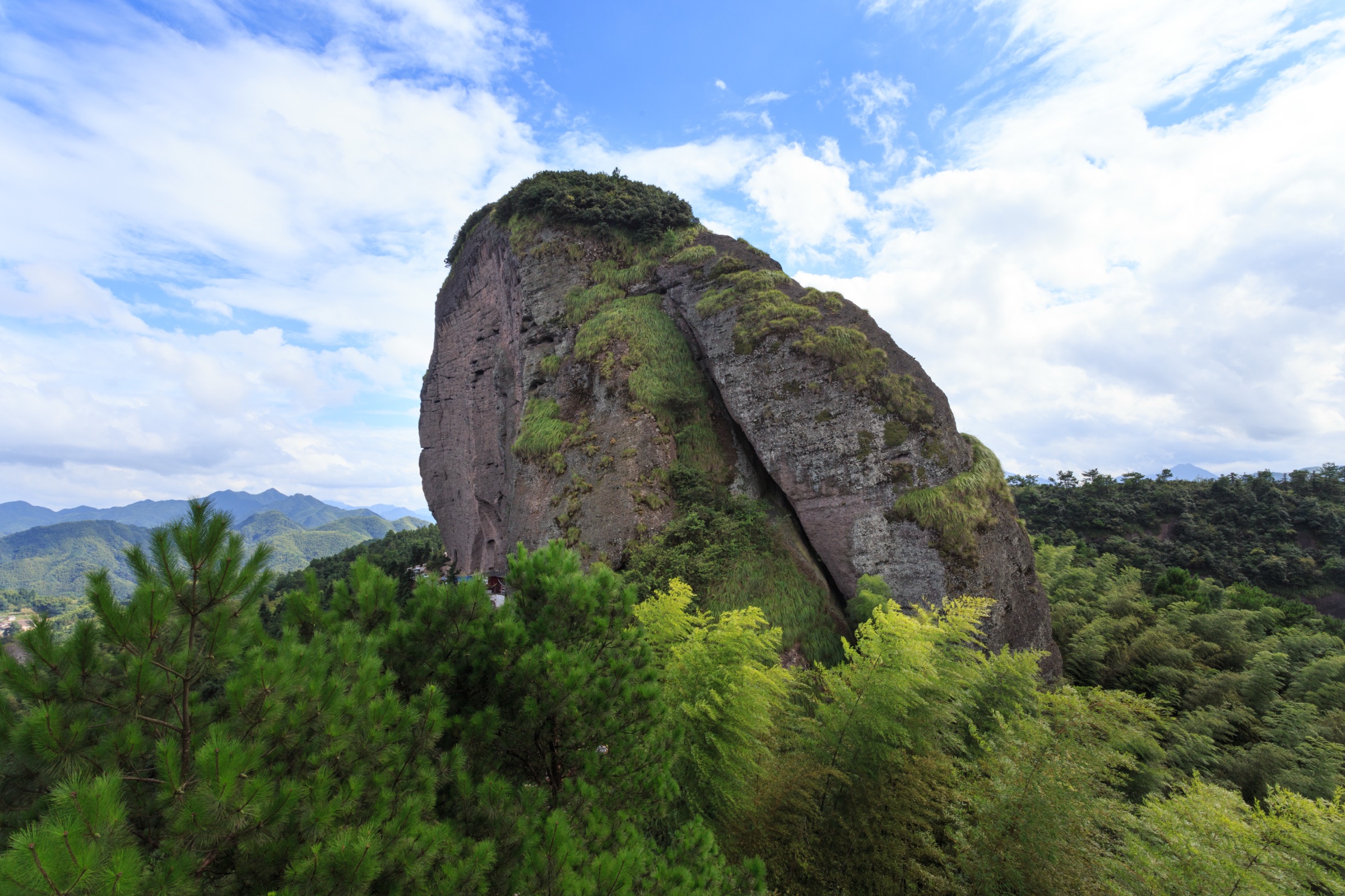
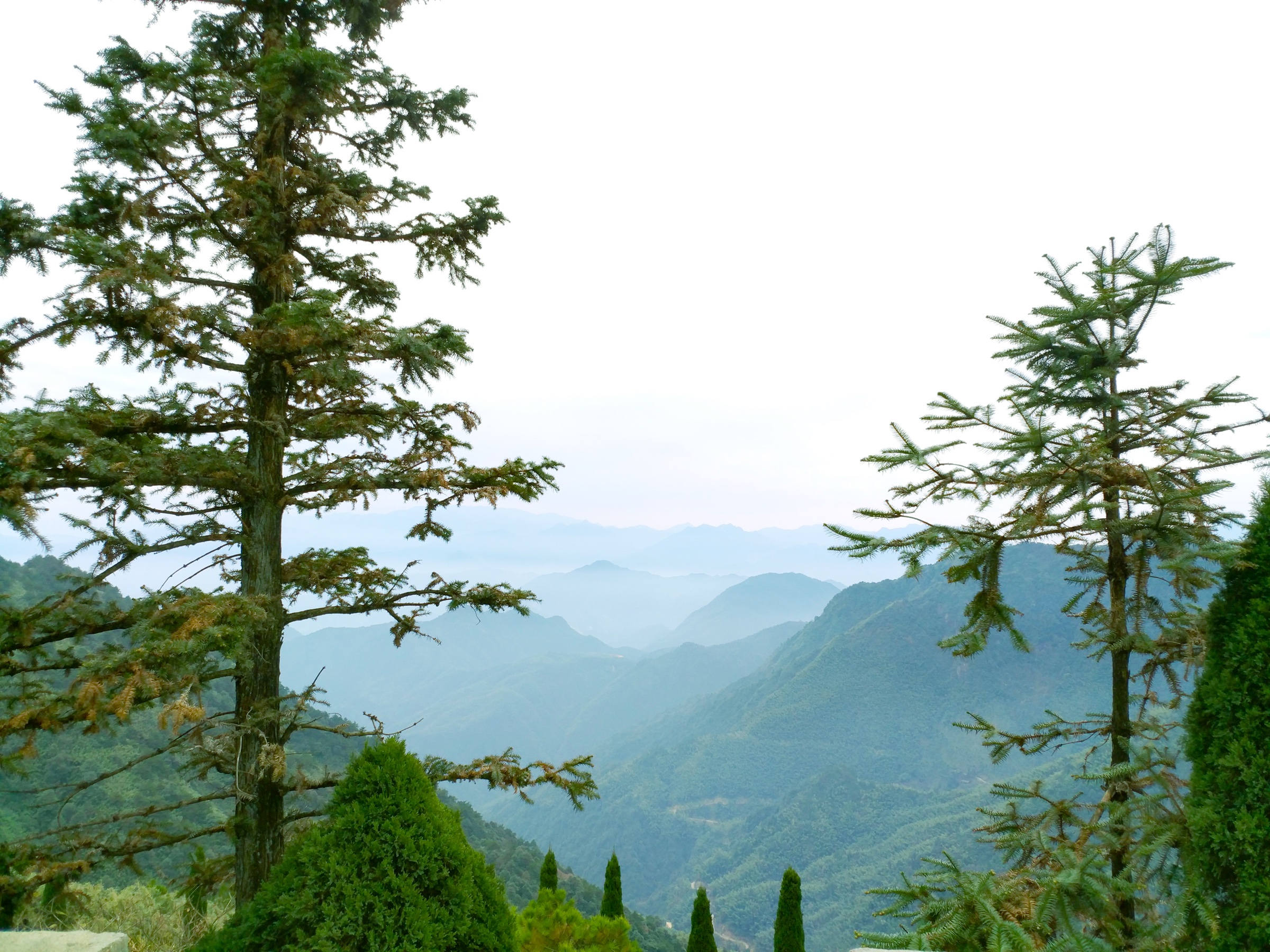
Regional overview
The Jiangxi side of the Wuyi Mountains is less neatly packaged for public day hiking than the Fujian scenic area. It includes the main Wuyi crest around Huanggangshan and Dushujian, Jiangxi Wuyishan reserve land, the Wufushan forest-park terrain near Shangrao, the public Daoist scenic area of Mount Gexian in Yanshan County, and the Tongboshan / Jiuxianshan / Baihuayan Danxia-forest landscape further east in Guangfeng.
The walking character is mixed. Some objectives are public scenic-area stair or cableway walks; others are high, forested reserve mountains where legal access, trailheads, and current permissions must be confirmed locally. Public GPX / KML files were not found for any of these routes in this pass. The entries below therefore distinguish between verified mountain or scenic-area significance and unresolved route geometry, and treat the highest Wuyi summits as candidate objectives rather than ready-to-publish routes.
The strongest seasons are March–May and September–November. Summer is hot, humid, and storm-prone; winter can bring fog and ice on the higher crest. The Mount Wuyi UNESCO World Heritage area sits across the Jiangxi–Fujian border; reserve, scenic-area, and forest-park rules vary across the two sides and should be checked before each trip.
Selection rationale
The five hikes represent the Jiangxi-side Wuyi without expanding into nearby Sanqing Shan or other non-Wuyi ranges. Huanggangshan is the highest summit of the Wuyi Mountains; Dushujian is the second-highest Wuyi summit; Wufushan is a high Wuyi forest-park objective; Mount Gexian is the most accessible cultural mountain in Yanshan County; and Tongboshan / Jiuxianshan is the Shangrao Danxia-forest counterpart on the eastern edge of the range. Three of the five remain candidates because legal route geometry and field-verified statistics were not found.
Summary table
| # | Hike | Country | Route type | Distance | Gain | Max elevation | Difficulty |
|---|---|---|---|---|---|---|---|
| 1 | Huanggangshan | China | Summit out-and-back candidate; legal route unresolved | Unresolved | Unresolved | 2,161 m on OSM; 2,160.8 m widely cited | Hard / access-dependent |
| 2 | Dushujian | China | Summit out-and-back candidate; legal route unresolved | Unresolved | Unresolved | 2,129 m widely cited | Hard / access-dependent |
| 3 | Wufushan / Wufu Peak Forest-Park Traverse | China | Forest-park loop / out-and-back candidate | Unresolved | Unresolved | 1,910.2 m reported for Wufujian | Hard |
| 4 | Mount Gexian | China | Walking ascent or lift-assisted scenic route | Unresolved | Unresolved | 1,096.3 m widely cited | Moderate to moderate-hard |
| 5 | Tongboshan / Jiuxianshan / Baihuayan Danxia walk | China | Scenic Danxia loop / out-and-back candidate | Unresolved | Unresolved | 571 m at Jiuxianshan; 1,534.6 m at Tongboshan main peak | Easy–moderate scenic; hard if main peak included |
1. Huanggangshan
Snapshot
Itinerary
Use only an authorised access route to the Huanggangshan summit area. The exact public walking line was not verified in this pass. Treat this entry as an essential summit objective requiring local route confirmation rather than a ready-to-publish trail description.
Why it is essential
Huanggangshan is the highest summit of the Wuyi Mountains and the high point of the Jiangxi–Fujian border crest. Any Jiangxi-side Wuyi catalogue must account for it, even if ordinary public access is more complex than in the Fujian scenic area.
Equipment
Full hillwalking kit: boots, waterproofs, warm layer, food, water, offline navigation, headtorch, emergency layer, and any required permission or access documentation.
Hazards and notes
The area is associated with protected reserve land. Do not use unauthorised approaches. Weather, fog, road access, communications, and conservation restrictions are the main unresolved risks.
GPX / KML links
| Source | URL | Format / access | Reuse status |
|---|---|---|---|
| OpenStreetMap — Huanggangshan peak node | openstreetmap.org | OSM peak node | ODbL data; coordinate / elevation source only |
| UNESCO World Heritage Centre — Mount Wuyi | whc.unesco.org | Protected landscape context | Context only; no route file |
Further reading
2. Dushujian
Snapshot
Itinerary
No legally clear public day-hike line was verified in this pass. The entry should be retained as a high-crest Wuyi objective, but the route needs an official map, local guide confirmation, or field-verified GPS track before publication as a usable day hike.
Why it is essential
Dushujian is widely identified as the second-highest summit of the Wuyi Mountains and Jiangxi’s second-highest mountain, making it one of the defining Jiangxi-side crest objectives.
Equipment
Full hillwalking kit, offline navigation, water, food, rain gear, headtorch, and current local access information.
Hazards and notes
Potential reserve restrictions, unclear trails, forest navigation, fog, and remoteness. Treat as unresolved until legal access and route line are confirmed.
GPX / KML links
| Source | URL | Format / access | Reuse status |
|---|---|---|---|
| OpenStreetMap — Dushujian peak node | openstreetmap.org | OSM peak node | ODbL data; coordinate source only |
Further reading
3. Wufushan / Wufu Peak Forest-Park Traverse
Snapshot
Itinerary
Select a legal forest-park route from the Wufushan access area toward Wufujian / Wufu Peak or a lower signed scenic circuit. No GPS-grade public route was verified in this pass, so the exact line should be settled from official park maps or local guide information.
Why it is essential
Wufushan represents the Jiangxi-side Wuyi forest and high-ridge character without relying only on protected crest summits. It is one of the obvious Shangrao-side Wuyi mountain objectives.
Equipment
Hiking footwear, rain gear, warm layer for high ground, water, food, offline map / GPS, and local access confirmation.
Hazards and notes
Forest paths may be wet, indistinct, or closed. Route choice changes the difficulty dramatically. Do not publish exact stats until an official or GPS-verified route is selected.
GPX / KML links
| Source | URL | Format / access | Reuse status |
|---|---|---|---|
| OpenStreetMap — Wufushan Shangrao search | openstreetmap.org | OSM map / search | ODbL data; area cross-check only |
| Nominatim — Wufushan town / station search | nominatim.openstreetmap.org | OSM geocoder | ODbL data; access cross-check only |
Further reading
4. Mount Gexian
Snapshot
Itinerary
From the Mount Gexian scenic-area base, ascend by the public walking route or use the cableway if operating, then continue to the upper temple and Gexian Peak area. Return the same way or by the scenic-area transport system, depending on current operations.
Why it is essential
Mount Gexian is the most accessible cultural mountain in the Yanshan-side Wuyi catalogue: a Daoist mountain with temples, pines, rocks, and cloud views rather than a restricted reserve crest.
Equipment
Walking shoes, water, sun / rain protection, warm layer for the top, and a current scenic-area map.
Hazards and notes
Expect stone stairs, wet paving after rain, heat in summer, and possible ticket / cableway timing constraints.
GPX / KML links
| Source | URL | Format / access | Reuse status |
|---|---|---|---|
| OpenStreetMap — Mount Gexian peak node | openstreetmap.org | OSM peak node | ODbL data; coordinate source only |
| Nominatim — Mount Gexian search | nominatim.openstreetmap.org | OSM geocoder | ODbL data; area cross-check only |
Further reading
5. Tongboshan / Jiuxianshan / Baihuayan Danxia walk
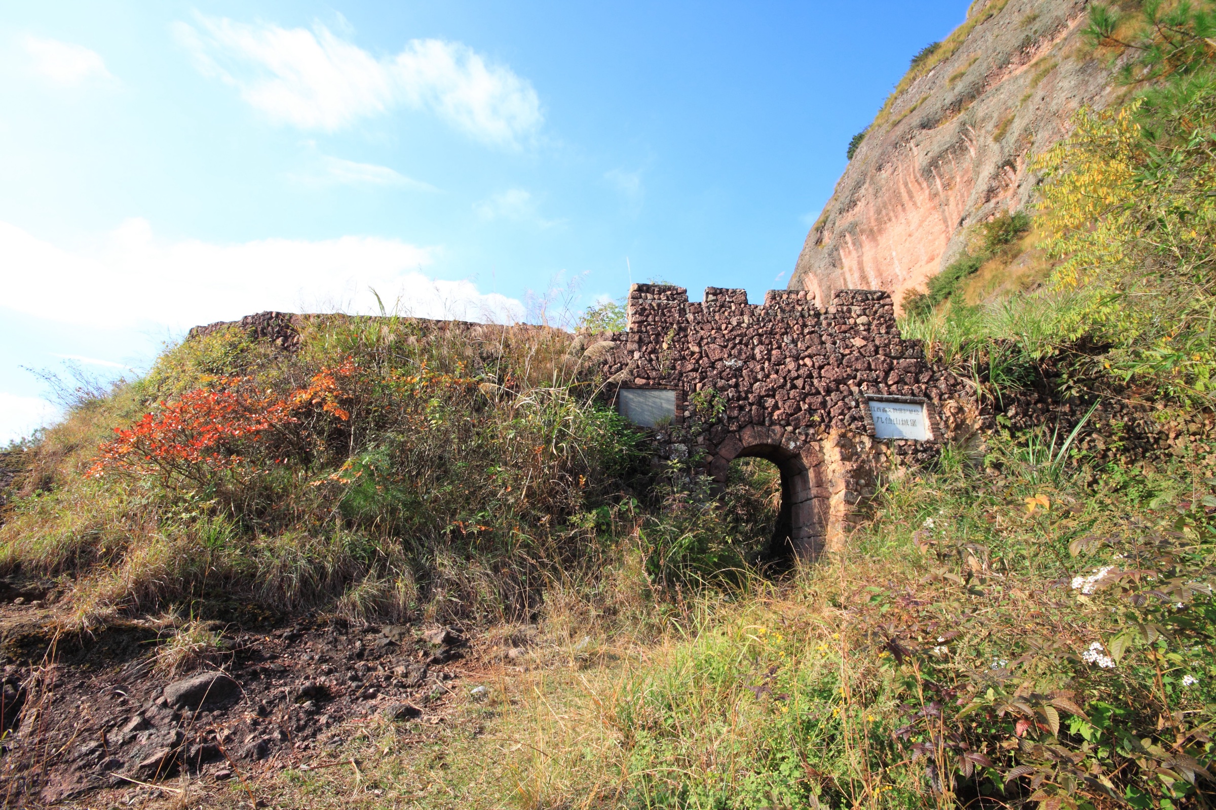
Snapshot
Itinerary
Use a legal public access point in the Tongboshan / Jiuxianshan area to combine Danxia cliffs, forest, historic Jiuxianshan remains, and Baihuayan-style rock scenery. Because no clear public GPS track was verified, this should be finalised from an official forest-park map or a field-checked route before publication.
Why it is essential
Tongboshan and Jiuxianshan give the Shangrao side a lower, scenic Danxia-forest route, balancing the high, access-sensitive Huanggangshan and Dushujian crest objectives.
Equipment
Walking shoes, water, rain protection, sun protection, and a local scenic-area map.
Hazards and notes
Route difficulty depends on whether the walk stays on lower scenic paths or attempts the main Tongboshan peak. Cliff paths and wet rock require care. Exact trailhead and open-path status remain unresolved.
GPX / KML links
| Source | URL | Format / access | Reuse status |
|---|---|---|---|
| OpenStreetMap — Tongboshan peak node | openstreetmap.org | OSM peak node | ODbL data; coordinate source only |
| Nominatim — Tongboshan search | nominatim.openstreetmap.org | OSM geocoder | ODbL data; area cross-check only |
Further reading
Missing data / follow-up work
- Confirm legal public access to Huanggangshan and Dushujian before publishing them as usable day hikes.
- Obtain official Jiangxi Wuyishan / Wufushan / Tongboshan route maps if available.
- Replace unresolved distances and ascent figures with official map or field GPS measurements.
- Search Chinese route-sharing platforms again for legally available GPX / KML; no clear downloadable public file was found in this pass.
- Source hike-specific open images for Huanggangshan, Dushujian, and Wufushan; no usable Commons photos were found in this pass.
Further reading
| Resource | Link |
|---|---|
| UNESCO World Heritage Centre — Mount Wuyi | whc.unesco.org |
| Wikipedia — Huanggangshan (Chinese) | zh.wikipedia.org |
| Wikipedia — Dushujian (Chinese) | zh.wikipedia.org |
| Wikipedia — Wufushan (Chinese) | zh.wikipedia.org |
| Wikipedia — Mount Gexian | en.wikipedia.org |
| Wikipedia — Jiuxianshan, Guangfeng (Chinese) | zh.wikipedia.org |
| Wikipedia — Tongboshan (Chinese) | zh.wikipedia.org |
| OpenStreetMap — Huanggangshan peak node | openstreetmap.org |
| OpenStreetMap — Dushujian peak node | openstreetmap.org |
| OpenStreetMap — Mount Gexian peak node | openstreetmap.org |
| OpenStreetMap — Tongboshan peak node | openstreetmap.org |