Regional overview
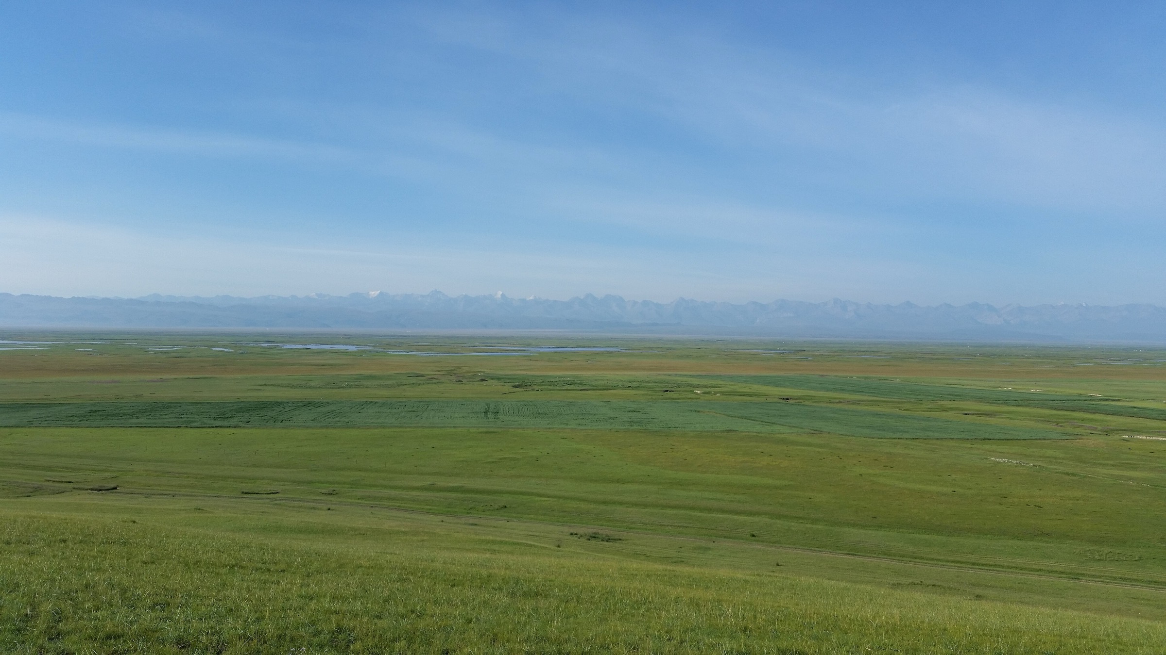
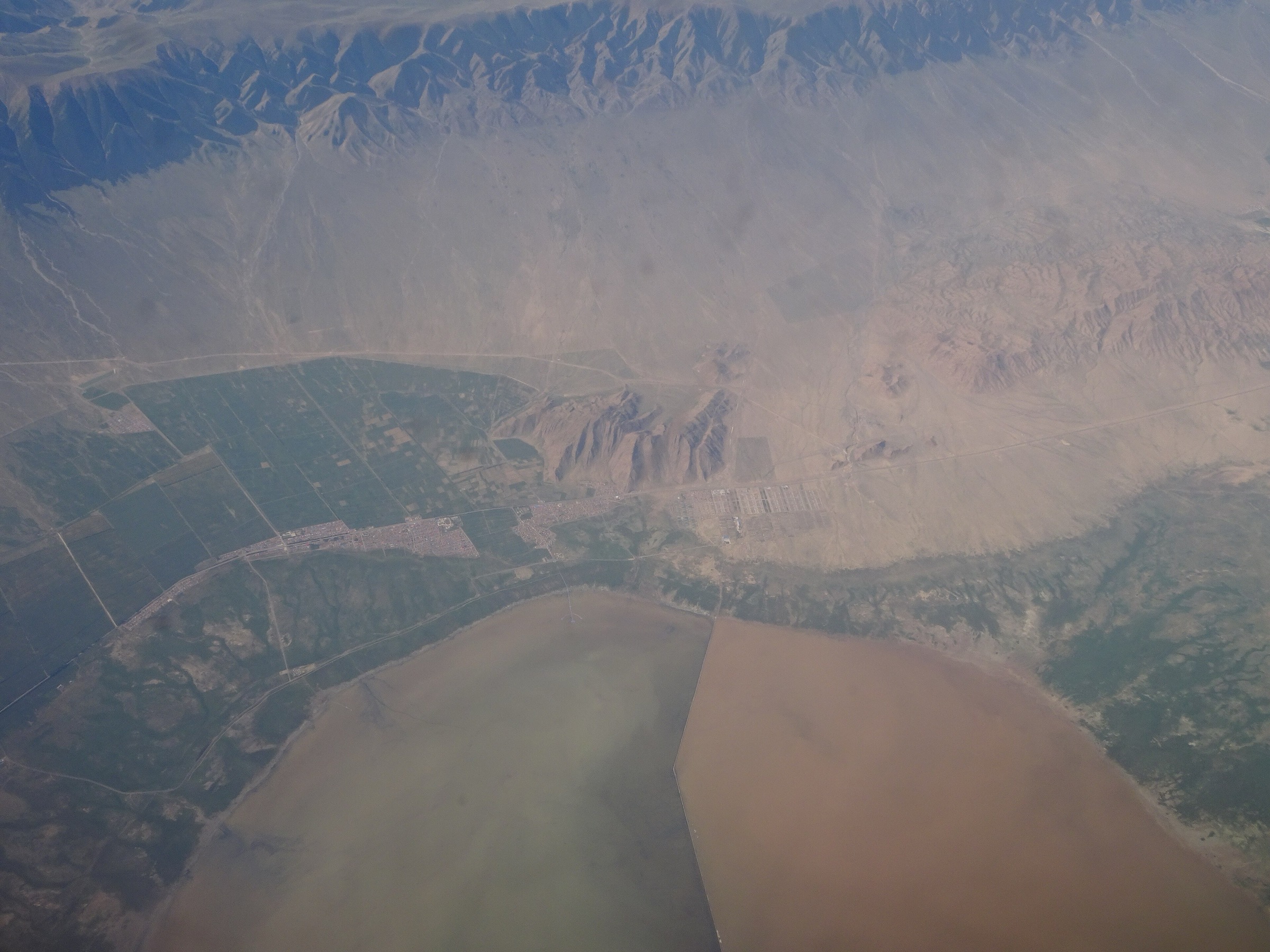
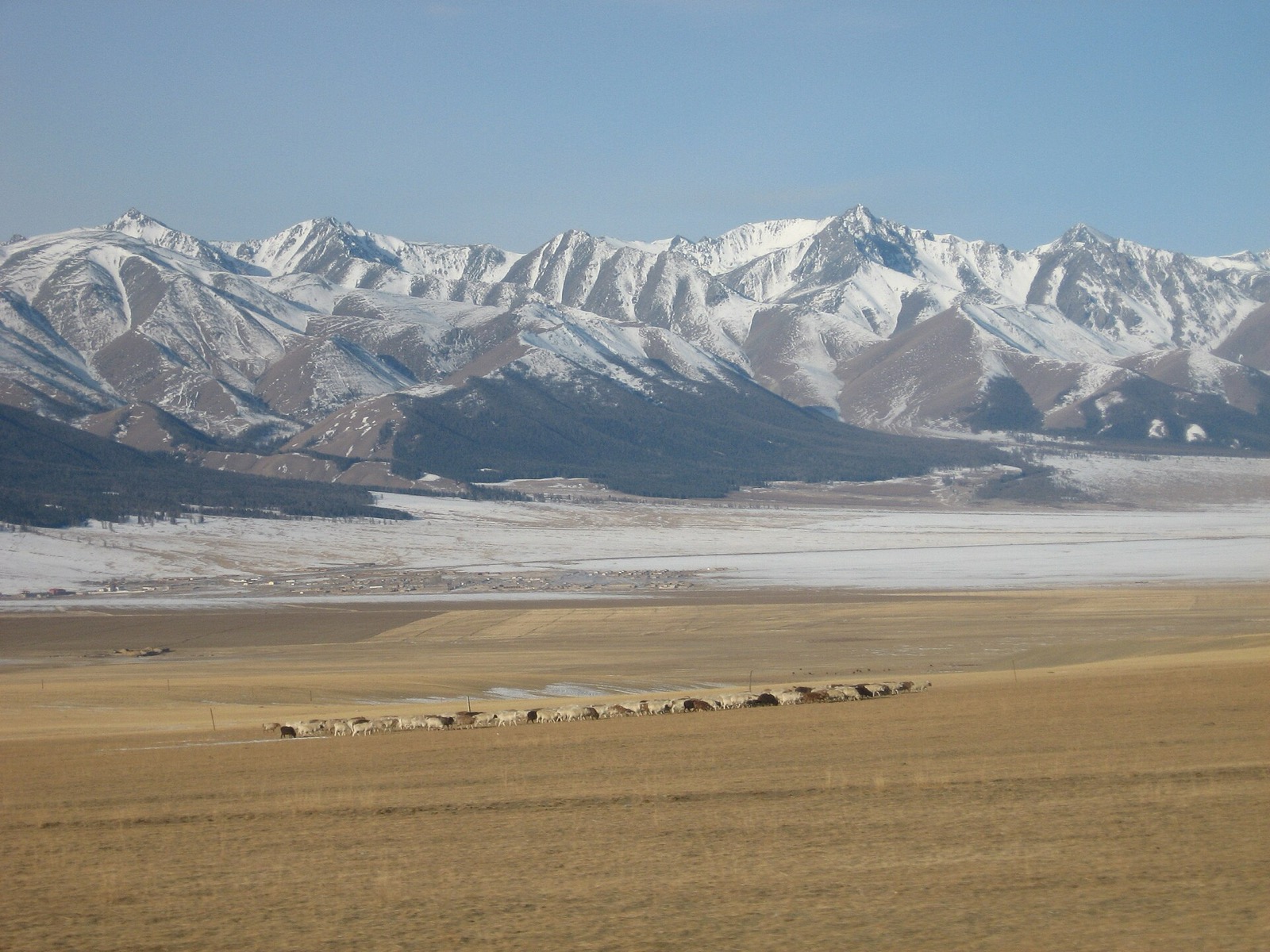
The Barkol-Hami region is the dry eastern end of the Xinjiang Tian Shan: mountain grasslands, spruce and pine forest islands, desert-edge salt lakes, reed wetlands, old Silk Road routes, Kazakh pastoral culture and high, cold continental weather. Around Barkol, the walking areas are close to the county town but remain exposed and seasonal. Around Hami, Baishitou / White Stone Scenic Area gives access to East Tian Shan forest, temples, singing-sand slopes and highland viewpoints.
This is not a dense marked-trail destination. The most reliable day walks are scenic-area circuits, boardwalks, lake approaches and short mountain-forest routes. Summer and early autumn are the safest hiking seasons; local sources identify May–October as the broad season for several scenic areas, with July–August often best for green grassland and open mountain access. In this pass, no AllTrails trail candidates were returned near the Barkol-Hami search area, and no official downloadable GPX/KML route files were found.
Selection rationale
The five hikes below balance the region’s main walking landscapes: Barkol Lake, Gaojiahu Wetland, Songshutang’s pine-and-grassland mountain setting, and two Baishitou routes for the East Tian Shan forest/temple/sand-mountain landscape. Several are managed scenic-area walks rather than wilderness hikes, but they are the most verifiable non-technical day-walking targets found for the Barkol-Hami region.
Summary table
| # | Hike | Route type | Distance | Max elevation | Difficulty |
|---|---|---|---|---|---|
| 1 | Barkol Lake Trestle and Lakeshore Wetland Walk | Out-and-back / local circuit | 0.5 km trestle verified; longer variants unresolved | 1,585 m lake altitude | Easy |
| 2 | Gaojiahu Wetland Lake, Bird Platform and Grassland Platform Loop | Loop / boardwalk walk | 2–3 h | About 1,585 m | Easy |
| 3 | Songshutang Pine Pond Forest-Grassland Walk | Out-and-back / local circuit | 1,800–2,300 m scenic-area range | Moderate | |
| 4 | Baishitou White Stone, Tianshan Temple and Mingsha Mountain Classic Route | Loop / out-and-back scenic | 2–3 h | Scenic-area range 1,400–3,200 m | Easy–moderate |
| 5 | Baishitou Tianshan Pine Sea and Hanqi Valley Depth Route | Loop / out-and-back scenic | 4–5 h | Scenic-area range 1,400–3,200 m | Moderate |
1. Barkol Lake Trestle and Lakeshore Wetland Walk
Snapshot
Itinerary
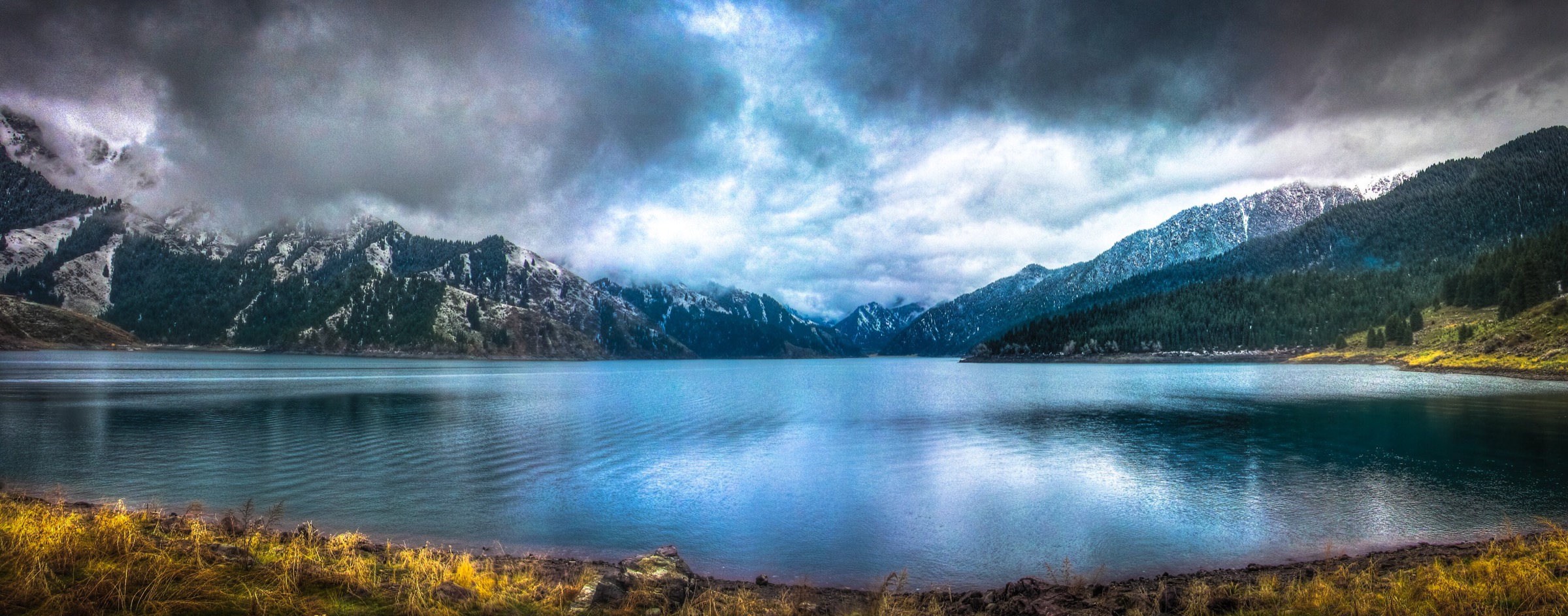
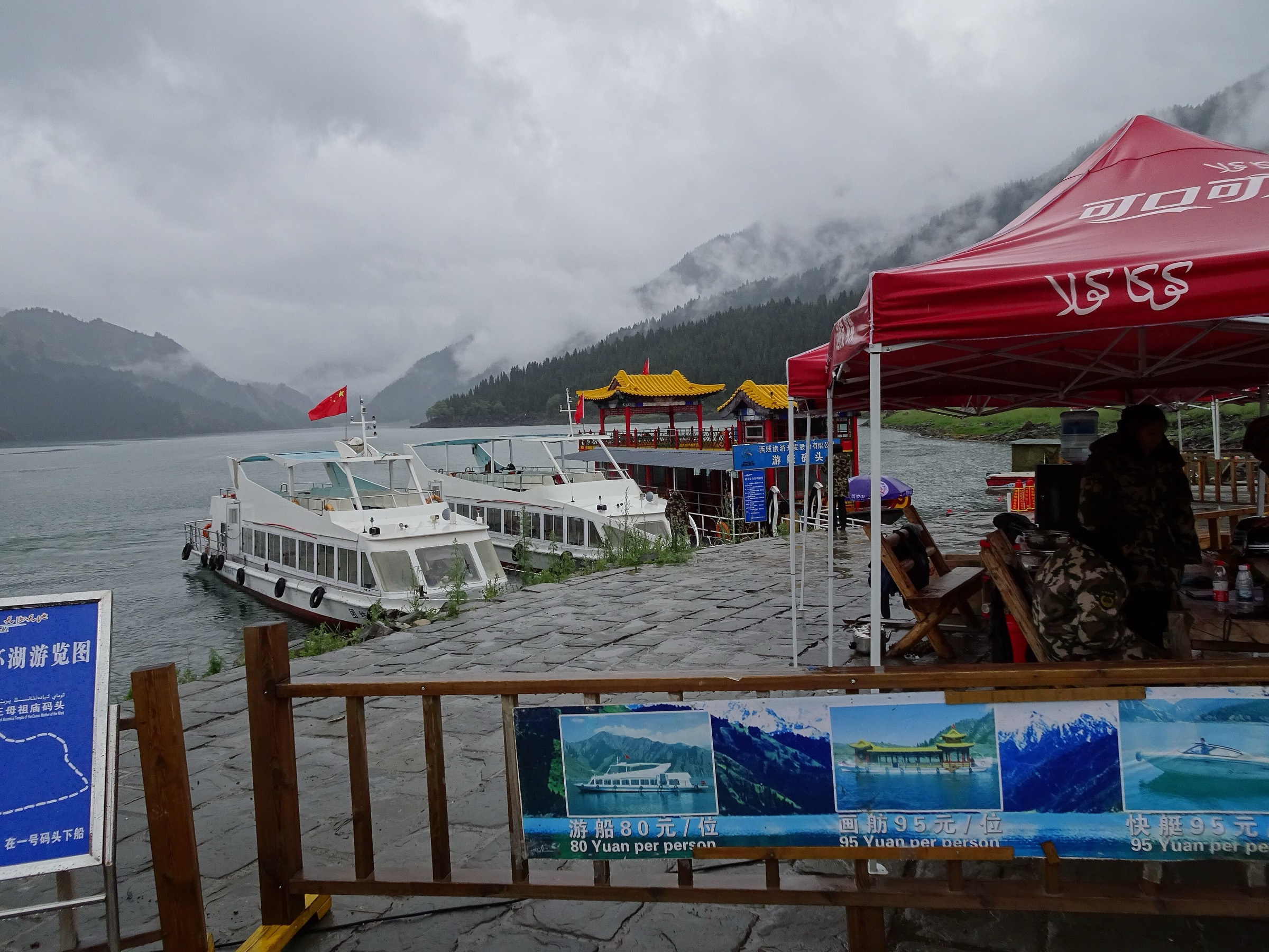
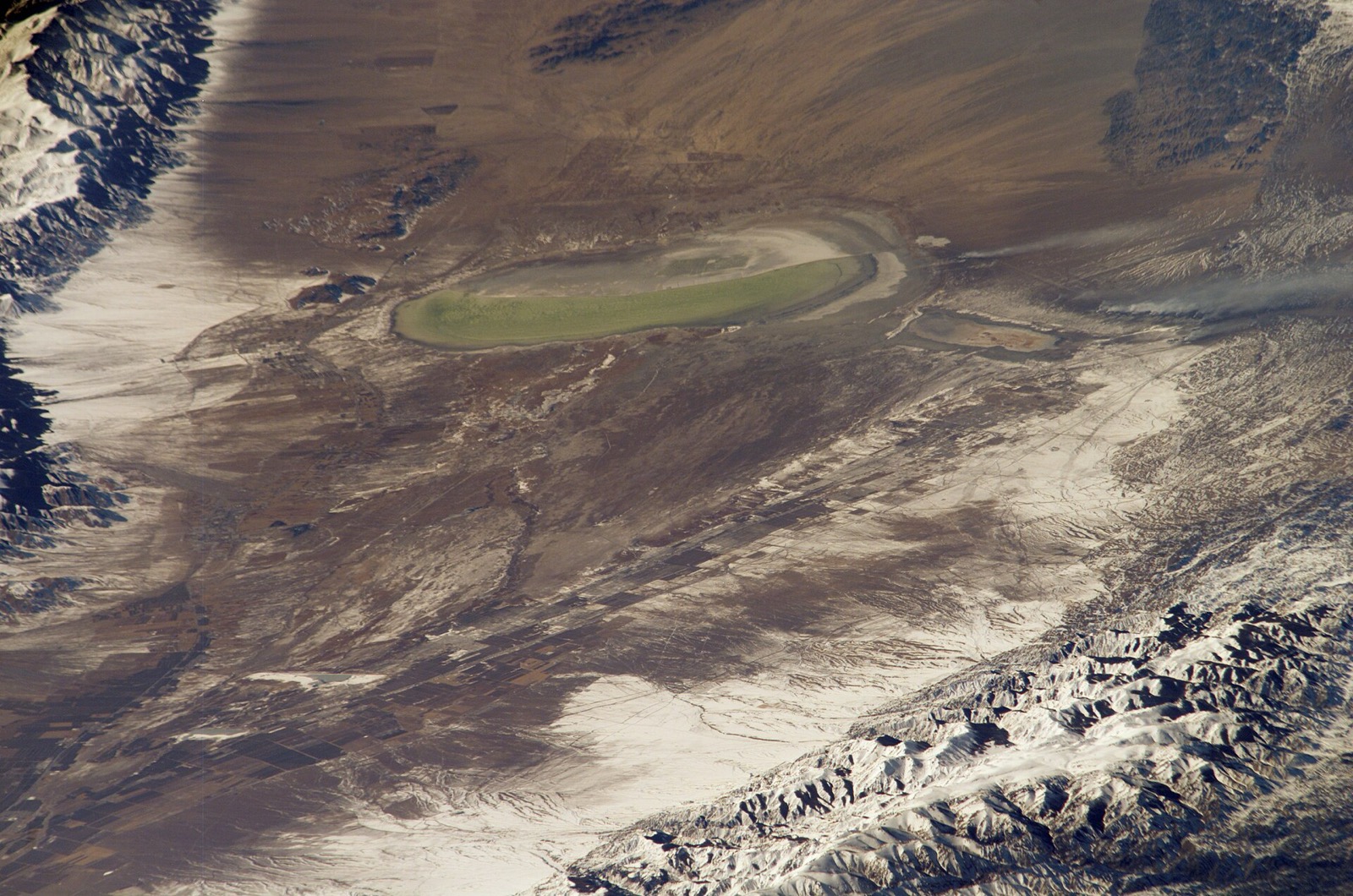
Begin at the Barkol Lake access area and walk the 500 m trestle bridge over the lake-edge wetland. If open and conditions allow, extend along nearby lakeshore paths or viewing areas for mountain reflections, reed beds, grassland and grazing scenes. The route is short, but the lake is a defining Barkol landscape: a saline basin at the foot of the mountains.
The lake’s size is seasonally variable. The consulted guide gives an altitude of 1,585 m and an area around 113 sq km, while NASA Earth Observatory context notes strong evaporation and saline conditions in the closed basin.
Why it is essential
Barkol Lake anchors the region’s desert-edge mountain identity. It provides the easiest essential walk and the clearest contrast between salt-lake basin, wetland, grassland and snow-mountain backdrop.
Equipment
- Comfortable shoes, windproof layer, sun hat, sunscreen, water and binoculars
- Add warm clothing outside midsummer
Hazards and notes
- Wind, sun exposure, muddy/salty lake margins, fragile wetland habitat and limited facilities are the main concerns
- Stay on trestles and designated paths
GPX / KML links
| Source | URL | Format | Notes |
|---|---|---|---|
| OpenStreetMap search: Barkol Lake | openstreetmap.org | Map/search | OSM data is ODbL; geometry cross-check only |
| China Educational Tours: Barkol Lake | chinaeducationaltours.com | Source page / attraction guide | Site terms apply; access and altitude verification only |
External links
2. Gaojiahu Wetland Lake, Bird Platform and Grassland Platform Loop
Snapshot
Itinerary
Follow the published short route from the entrance to the wetland lake, bird-watching platform and grassland viewing platform, then return to the entrance. A longer variant continues through reed wetland and plank-road sections if open. The scenic guide describes the area as a 3.79 sq km wetland with lake wetland, grassland, reeds and saline meadow.
The route has a verified time estimate and attraction sequence, but exact walking distance and GPX geometry remain unresolved.
Why it is essential
Gaojiahu is the compact wetland complement to Barkol Lake. It provides an accessible birding and boardwalk route close to Barkol town.
Equipment
- Comfortable walking shoes, wind layer, sun protection, water and binoculars
- In summer, insect protection may be useful
Hazards and notes
- Stay on boardwalks and authorised paths to protect reeds, saline meadow and bird habitat
- Wet boards can be slippery, and exposed wind/sun can be tiring despite the easy grade
GPX / KML links
| Source | URL | Format | Notes |
|---|---|---|---|
| OpenStreetMap search: Gaojiahu Wetland | openstreetmap.org | Map/search | OSM data is ODbL; geometry cross-check only |
| LoongWander: Gaojiahu Wetland Scenic Area | loongwander.com | Source page / scenic route | Site terms apply; route sequence, time, area and altitude verification only |
External links
3. Songshutang Pine Pond Forest-Grassland Walk
Snapshot
Itinerary
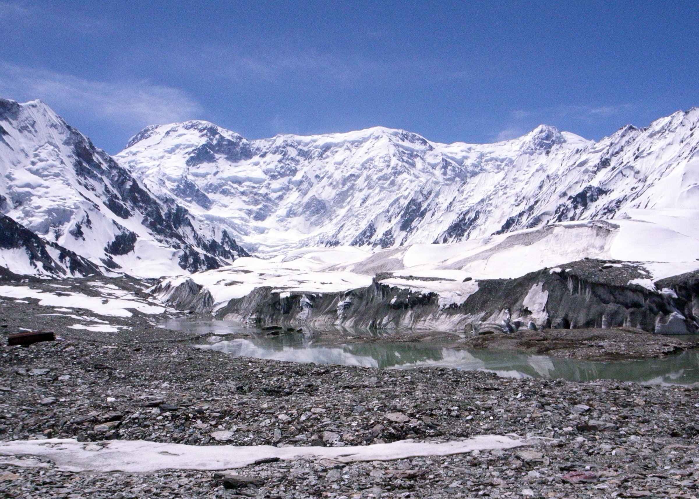
Songshutang sits on the southern slope of Barkol Mountain and combines grassland, original forest, snow-peak views, springs, lake scenery and nearby singing-sand landscape. The walking route should follow open scenic-area paths through the pine/forest and grassland zones, using current local signage for viewpoints and return options.
The official Hami page verifies the place, landscape character, approximate dimensions and elevation band, but it does not provide a route file or exact walking distance.
Why it is essential
Songshutang is the Barkol area’s mountain-forest walk: higher, cooler and more alpine than the lake and wetland routes, while still close to the county town.
Equipment
- Hiking shoes, warm layer, wind/rain shell, water, snacks, sun protection and an offline map
- Trekking poles may be useful if paths are muddy or uneven
Hazards and notes
- Potential hazards include cold wind, sudden storms, muddy slopes, livestock, limited signage and snow or road issues outside the main season
- Confirm open paths locally before leaving the developed area
GPX / KML links
| Source | URL | Format | Notes |
|---|---|---|---|
| OpenStreetMap search: Songshutang Barkol | openstreetmap.org | Map/search | OSM data is ODbL; geometry cross-check only |
| Hami government: Songshutang | hami.gov.cn | Official local government source page | Location, elevation, season and landscape verification only |
External links
4. Baishitou White Stone, Tianshan Temple and Mingsha Mountain Classic Route
Snapshot
Itinerary
Follow the classic Baishitou route from the entrance to the White Stone feature, Tianshan Temple and Mingsha Mountain, then return. The scenic guide describes Baishitou as an East Tian Shan branch scenic area with snow-mountain views, Mingsha Mountain, Tianshan pine forest, Hanqi Valley, temples and Kazakh cultural elements.
The sequence and time are published, but no distance, elevation gain or downloadable route geometry was found in this pass.
Why it is essential
This route is the most compact way to sample Baishitou’s East Tian Shan mix of geology, temple history, grassland/forest and desert-edge singing sand.
Equipment
- Comfortable hiking shoes, sun protection, windproof layer, water and warm clothing
- The source explicitly notes the altitude and recommends warm clothing and attention to altitude sickness
Hazards and notes
- Heat, strong sun, wind, cold at altitude, sand underfoot and sudden mountain weather are the main concerns
- Stay on authorised paths around temple areas and fragile slope features
GPX / KML links
| Source | URL | Format | Notes |
|---|---|---|---|
| OpenStreetMap search: Baishitou Hami | openstreetmap.org | Map/search | OSM data is ODbL; geometry cross-check only |
| OpenStreetMap search: Mingsha Mountain Hami | openstreetmap.org | Map/search | OSM data is ODbL; geometry cross-check only |
| LoongWander: Baishitou Scenic Area | loongwander.com | Source page / scenic route | Site terms apply; route sequence, time, altitude range and season verification only |
External links
5. Baishitou Tianshan Pine Sea and Hanqi Valley Depth Route
Snapshot
Itinerary
This longer Baishitou route follows the published depth itinerary: entrance, White Stone, Tianshan Temple, Tianshan Pine Sea, Hanqi Valley and return. It extends the classic route into the forest/valley side of the scenic area and is the most substantial day-walk-scale option verified for the Hami side of the eastern Tian Shan in this pass.
No exact distance or elevation profile was found, so the 4–5 hour timing should be treated as the main verified statistic.
Why it is essential
The depth route gives the eastern Tian Shan entry its best forest-and-valley hiking component and avoids making the region only lake and boardwalk walks.
Equipment
- Hiking shoes, warm layer, wind/rain shell, sun protection, water, snacks and offline navigation
- Carry extra clothing because the scenic area spans a large altitude band
Hazards and notes
- Altitude, cold wind, heat in exposed lower areas, storms, unclear trail condition and transport timing are the key planning issues
- Confirm whether the full Hanqi Valley extension is open before committing
GPX / KML links
| Source | URL | Format | Notes |
|---|---|---|---|
| OpenStreetMap search: Baishitou Hami | openstreetmap.org | Map/search | OSM data is ODbL; geometry cross-check only |
| LoongWander: Baishitou Scenic Area | loongwander.com | Source page / scenic route | Site terms apply; route sequence, time, altitude range and season verification only |
External links
External links
| Source | URL |
|---|---|
| China Educational Tours — Barkol Lake | chinaeducationaltours.com |
| LoongWander — Gaojiahu Wetland Scenic Area | loongwander.com |
| Hami government — Songshutang / Pine Pond | hami.gov.cn |
| LoongWander — Baishitou Scenic Area | loongwander.com |