Regional overview
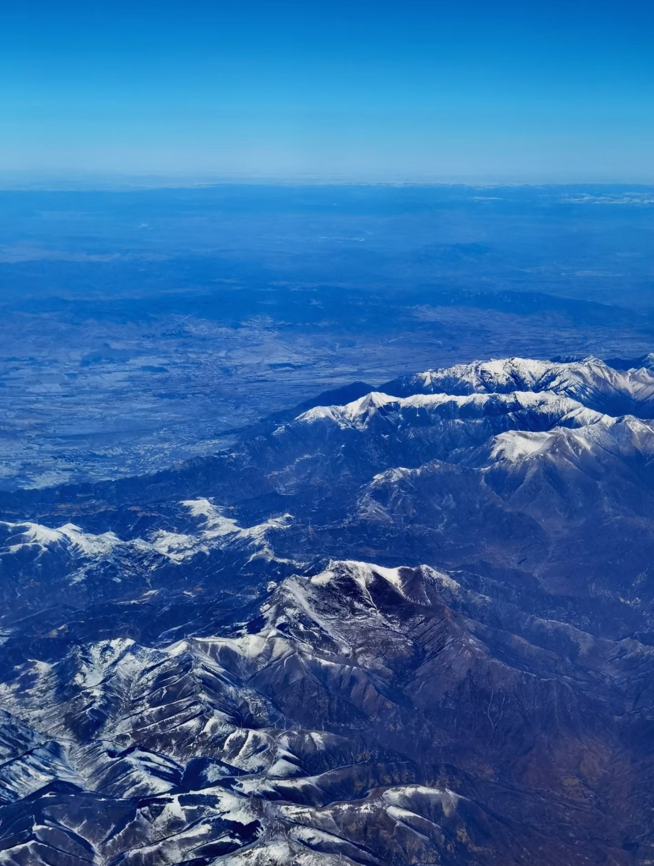
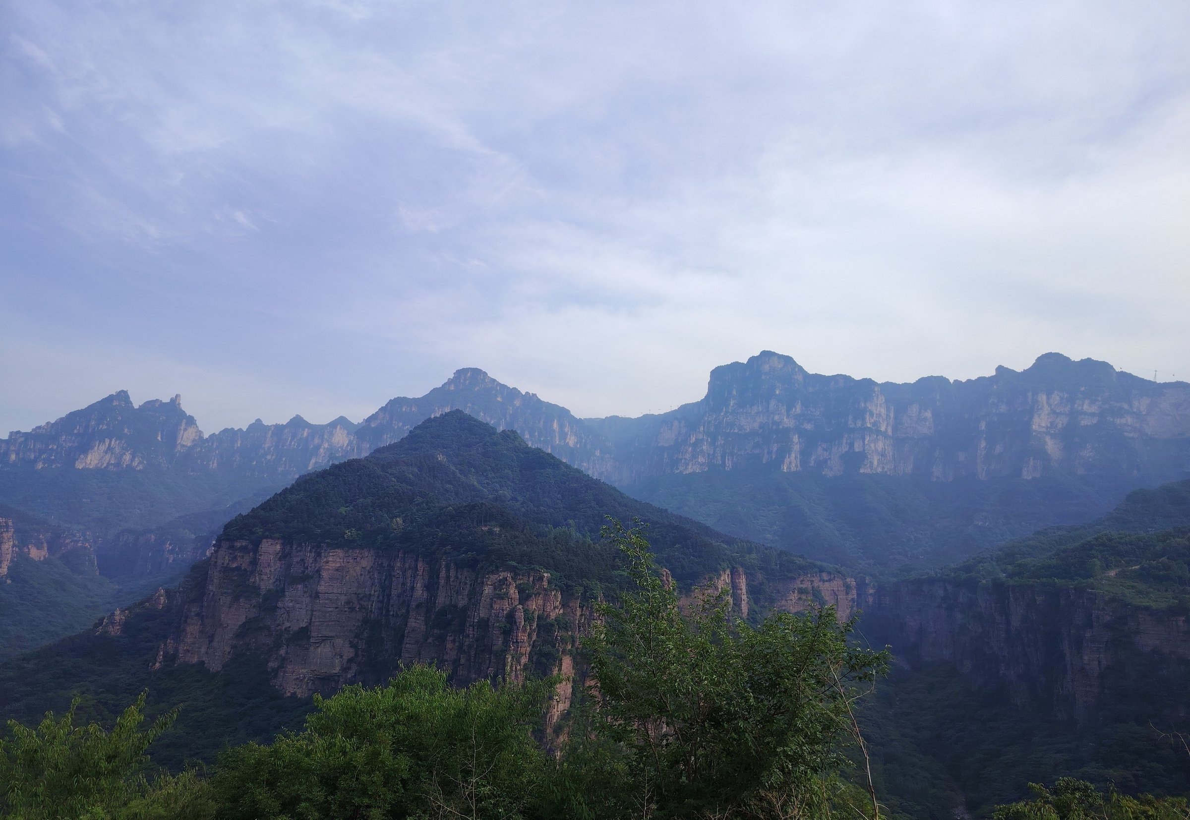
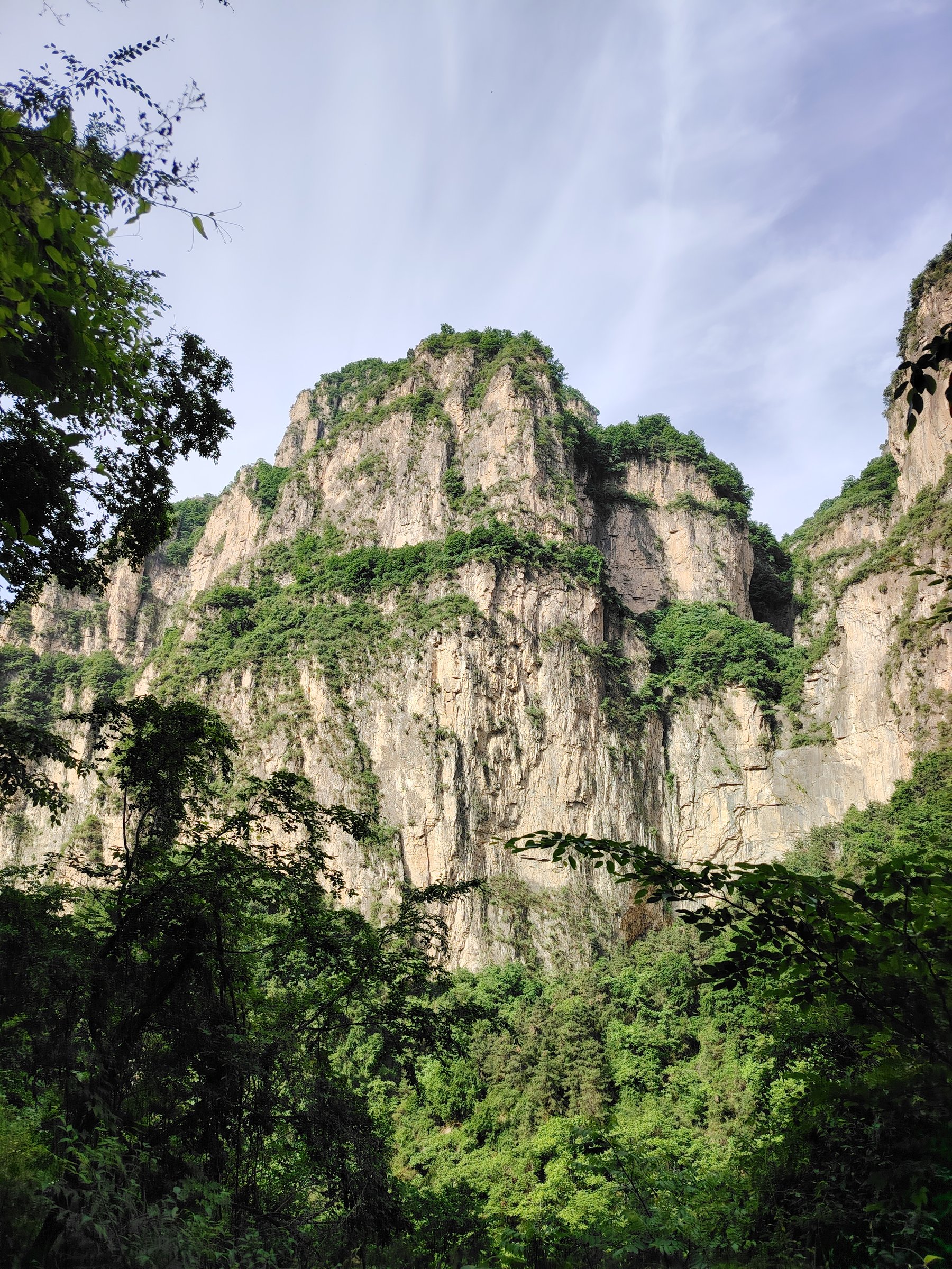
The Wangmangling-Baligou region sits on the Shanxi-Henan edge of the South Taihang. Its walking character is red-rock cliff country: hanging-wall roads, stepped gorge paths, waterfall amphitheatres, high limestone-sandstone ridges, tiny stone villages, and scenic-area shuttle links that often shorten or control access.
The area is split between developed scenic parks and harder outdoor traverses. Wangmangling and Xiyagou represent the Shanxi rim and cliff-road landscape; Baligou, Jiulian Mountain, and Huilong/Tianjie Mountain represent the Huixian/Xinxiang South Taihang tourism area. Public GPX-grade data is inconsistent, so route statistics below are precise only where a track source exposes them and otherwise marked as approximate or unresolved.
Spring and autumn are the safest and most comfortable seasons. Summer brings heat, thunderstorms, slick rock, and flash-flood risk in gorges. Winter can leave ice on ladders, cliff roads, plank roads, and shaded stone steps.
Selection rationale
The five hikes below cover the region’s essential forms: the Wangmangling high rim and Xiyagou cliff-road, Baligou’s waterfall canyon, Jiulian Mountain’s Xilian Gorge and folk-temple terrace, Tianjie Mountain’s Yunfeng Gallery / Laoye Peak balcony route, and the classic Mawu-Baodu-Baligou village-and-gorge traverse. Several are best treated as “source-route only” until rebuilt against current scenic-area maps and access rules.
Summary table
| # | Hike | Country | Route type | Distance | Gain | Max elevation | Difficulty | Photo status |
|---|---|---|---|---|---|---|---|---|
| 1 | Wangmangling Ridge to Xiyagou Cliff-Road Traverse | China | Point-to-point | 20.31 km | 567 m | 1,657 m | Hard | Commons regional image verified |
| 2 | Baligou Red Stone River, Tianhe Waterfall and Yixiantian | China | Loop / out-and-back | Approx. 8-12 km | Approx. 600-900 m if fully walked | Red Stone River area over 1,100 m; exact route high unresolved | Moderate-hard | Commons regional image verified |
| 3 | Jiulian Mountain: Xilian Gorge, Tianhu Waterfall and Xilian Temple | China | Loop / traverse within scenic area | Approx. 6-9 km | Approx. 300-600 m | Moderate-hard | Commons regional image verified | |
| 4 | Huilong Tianjie Mountain: Yunfeng Gallery and Laoye Peak | China | Loop plus summit out-and-back | Approx. 8.8 km cited by route source; verify | Approx. 400-700 m | 1,570 m at Laoye Peak | Moderate-hard | Commons regional image verified |
| 5 | Mawu Village - One-Line Sky - Baodu - Baligou Gate | China | Point-to-point | 16.11 km | 355 m | 1,293 m | Hard | Commons regional image verified |
1. Wangmangling Ridge to Xiyagou Cliff-Road Traverse
Snapshot
Itinerary
This traverse links the Wangmangling high rim with Xiyagou, using scenic-area paths/roads and the cliff-road landscape. Wangmangling is described as the highest peak area of the South Taihang, with a ridge of more than fifty peaks, sea-cloud viewpoints, red-rock canyons, hanging-wall roads, and Xiyagou as one of its major attractions. A 2bulu walking track named “Wangmangling-Xiyagou 2024-10-03” gives a 20.31 km point-to-point route from Wangmangling Scenic Area parking to Xiyagou Longwangmiao.
Why it is essential
This is the most direct day-walk expression of the Shanxi side of the region: high South Taihang rim, cloud-viewing platforms, historic cliff-road engineering, and descent toward the stone-village terrain of Xiyagou.
Equipment
Sturdy hiking shoes, water, food, sun protection, rain layer, warm layer for the ridge, phone with offline maps, power bank, and a current scenic-area map. A local guide is recommended if not reading Chinese route notes confidently.
Hazards and notes
Expect cliff exposure, traffic on road sections, shuttle restrictions, possible construction or scenic-area controls, and steep descent. Do not attempt closed hanging-road or cliff-edge sections. Confirm whether a one-way walk is permitted on the day and pre-arrange transport from Xiyagou.
GPX / KML links
| Source | URL | Format / access | Reuse status |
|---|---|---|---|
| 2bulu: Wangmangling-Xiyagou source track | 2bulu.com | Source track page; KML may require app/page download | No reusable licence found; source geometry only, rebuild independently |
| OpenStreetMap search: Wangmangling Xiyagou | openstreetmap.org | Map/search | OSM data is ODbL; geometry cross-check only |
External links
- Silk Road Travel — Wang Mangling Scenic Spot
- Trip.com — Wangmangling Mountain Scenic Spot
- 2bulu — Wangmangling-Xiyagou source track
2. Baligou Red Stone River, Tianhe Waterfall and Yixiantian
Snapshot
Itinerary
Follow Baligou’s main water-and-cliff itinerary: Taohua Bay / lower canyon, Yangzhoudi and stream pools, Tianhe Waterfall, the cliff ladder or sightseeing elevator toward the Red Stone River / Hongshi River plateau, Yixiantian / One-Line Sky, Guanyin Cave, Echo Wall, Mushroom Stone, Black Dragon Pond, and return by signed path, elevator, shuttle, or cable-supported scenic transport as operating conditions allow.
Henan’s provincial government places Baligou at the southern foot of the Taihang on the Henan-Shanxi border and notes a broad South Taihang elevation band of 300-1,800 m. CN Trip Essentials describes the touring route as upper and lower sections taking about 5-6 hours, with roughly 2,000 stone steps to the upper area and Hongshi River over 1,100 m. Waterfall height figures vary across sources, so the catalogue should state only that Tianhe Waterfall is the key high waterfall of the route unless later verified from an official scenic-area source.
Why it is essential
Baligou is the region’s classic water-and-red-cliff day: gorge pools, high waterfall, red canyon stream, upper plateau views, and the most accessible full-value scenic walk in the South Taihang tourism complex.
Equipment
Grippy shoes for wet stone, water, snacks, rain layer, sun protection, and a light warm layer for the upper area. Poles are useful but can be awkward on ladders and crowded steps.
Hazards and notes
Flash-flood risk, slippery steps, waterfall spray, crowding, macaques, and seasonal closures are the main concerns. The route changes substantially if using the elevator, cable car, or scenic buses; record the chosen variant when building GPX.
GPX / KML links
| Source | URL | Format / access | Reuse status |
|---|---|---|---|
| 2bulu: Baligou scenic-area source track | 2bulu.com | Source track page; route stats exposed in search result; KML access unclear | No reusable licence found; optional source geometry only, verify because it may be a strenuous full variant |
| OpenStreetMap search: Baligou Scenic Area | openstreetmap.org | Map/search | OSM data is ODbL; geometry cross-check only |
| BH2255 Baligou guide | bh2255.com | Scenic route description | Site terms apply; no route-file licence found; itinerary reference only |
External links
- Henan Provincial Government — Baligou Scenic Area
- CN Trip Essentials — Xinxiang / Baligou
- LoongWander — Baligou Scenic Area
- BH2255 — Xinxiang Baligou Travel Guide
3. Jiulian Mountain - Xilian Gorge, Tianhu Waterfall and Xilian Temple
Snapshot
Itinerary
A practical Jiulian day route is: entrance or scenic bus stop, Xilian Gorge, Jiulian Pool, Tianhu Waterfall, the long ladder/step ascent to Jiulian Terrace, Xilian Temple / Xiaoxitian folk-belief area, then Guanhougou or the signed exit path if open. Trip.com’s attraction page gives a similar hiking sequence: entrance, Xilian Gorge, Jiulian Pool, climb the 999-step ladder, Jiulian Terrace, Xilian Temple, Guanhougou, and exit.
Why it is essential
Jiulian is the more intimate gorge-and-temple counterpart to Baligou: pools, waterfalls, steep steps, red cliffs, macaque country, and a distinctive cliffside folk-religious terrace.
Equipment
Hiking shoes with good grip, water, snacks, rain layer, sun protection, and warm layer outside summer. Bring cash/mobile payment for internal shuttles or elevator options where operating.
Hazards and notes
The step ascent is strenuous in heat. Waterfall and gorge sections can close in storms; macaques should not be fed. Exact distance and elevation need later GPX reconstruction.
GPX / KML links
| Source | URL | Format / access | Reuse status |
|---|---|---|---|
| Trip.com Jiulian Mountain page | trip.com | Source route description | Site terms apply; no route-file licence found; itinerary reference only |
| OpenStreetMap search: Jiulian Mountain Scenic Area | openstreetmap.org | Map/search | OSM data is ODbL; geometry cross-check only |
External links
- Trip.com — Jiulian Mountain Scenic Area
- Trip.com Moments — Jiulian Mountain guide excerpts
- CN Trip Essentials — Xinxiang guide
4. Huilong Tianjie Mountain - Yunfeng Gallery and Laoye Peak
Snapshot
Itinerary
Take the scenic shuttle through the Huilong cliff-road access to Qingfeng Pass. Walk the Yunfeng Gallery clockwise, using the cliffside viewpoints over red-rock walls, reservoirs, and South Taihang ridges. If conditions and energy allow, continue to Laoye Peak / Laoyeding, the Taoist summit area at about 1,570 m, then return to Qingfeng Pass for the shuttle out.
BH2255 describes Huilong Tianjie Mountain as divided into Longyin Gorge, Yunfeng Gallery, Laoyeding, Zhanggou, and Shiziling. Trip.com route notes cite Yunfeng Gallery as a 6.5 km circular cliff trail at about 1,200 m and describe Laoye Peak as the 1,570 m summit finish.
Why it is essential
This is the region’s best balcony-walk candidate: a built cliffside gallery, big South Taihang views, Taoist summit culture, and the Huilong hanging-road story in one day.
Equipment
Hiking shoes, water, snacks, sun and wind protection, rain layer, and warm layer for the ridge. Carry enough water because top-of-route supplies can be limited or seasonal.
Hazards and notes
Cliffside walkways, glass sections, exposed viewpoints, summer heat, winter ice, and shuttle schedules are the main practical constraints. The nearby Shiziling traverse is harder and should be treated as a separate advanced route unless locally guided.
GPX / KML links
| Source | URL | Format / access | Reuse status |
|---|---|---|---|
| Trip.com Huilong Tianjie Mountain page | trip.com | Source route description | Site terms apply; no route-file licence found; itinerary reference only |
| BH2255 Huilong Tianjie Mountain guide | bh2255.com | Guide and landmark list | Site terms apply; no route-file licence found; landmark reference only |
| OpenStreetMap search: Huilong Tianjie Mountain | openstreetmap.org | Map/search | OSM data is ODbL; geometry cross-check only |
External links
- BH2255 — Xinxiang Huilong Tianjie Mountain Scenic Area
- Trip.com — Huilong Tianjie Mountain Scenic Area
5. Mawu Village - One-Line Sky - Baodu - Baligou Gate
Snapshot
Itinerary
The 2bulu source route runs from Mawu Village through One-Line Sky, Baodu, upper waterfall terrain, Baodu ladder/bridge, and out to the Baligou gate area. Chinese route summaries describe the wider South Taihang traverse as linking Shuangdi, the Taxus canyon, Mawu, Baodu, and Baligou; this entry selects the Mawu-Baodu-Baligou day stage because it fits a long day and has an exposed public source track.
Why it is essential
This is the catalogue’s wilder counterweight to the scenic-park walks: old village access, gorge constrictions, remote Baodu settlement, ladders/bridges, and a dramatic finish into Baligou’s developed canyon system.
Equipment
Full day-hiking kit: grippy shoes, water, food, rain layer, warm layer, headlamp, offline map, power bank, first-aid basics, and poles if comfortable on rough descents. A local guide is strongly recommended.
Hazards and notes
This is not a casual scenic-boardwalk route. Expect route-finding, rough stone, ladders/bridges, possible water crossings, cliff exposure, poor phone signal, and access/ticket controls near scenic-area boundaries. Do not use old bypasses or unofficial entrances where prohibited.
GPX / KML links
| Source | URL | Format / access | Reuse status |
|---|---|---|---|
| 2bulu: Mawu-One-Line Sky-Baodu-Baligou track | 2bulu.com | Source track page; KML option shown on page | No reusable licence found; source geometry only, rebuild independently |
| Wenxiaobai South Taihang route summary | wenxiaobai.com | Route summary | Site terms apply; no route-file licence found; itinerary context only |
| OpenStreetMap search: Mawu Baodu Baligou | openstreetmap.org | Map/search | OSM data is ODbL; geometry cross-check only |
External links
- 2bulu — Mawu-One-Line Sky-Baodu-Baligou track
- Wenxiaobai — South Taihang Shuangdi-Taxus Canyon-Mawu-Baodu-Baligou route summary
- Sina — South Taihang hiking route reference
Open items for later verification
- Official scenic-area PDFs or maps for Baligou, Jiulian Mountain, Huilong/Tianjie Mountain, and Wangmangling were not found in this pass.
- Several route distances are approximate because public official pages describe attractions and time, not GPX-grade walking geometry.
- 2bulu pages expose useful track statistics and sometimes KML options, but no clear reuse licence was found; treat them as source-route references only.
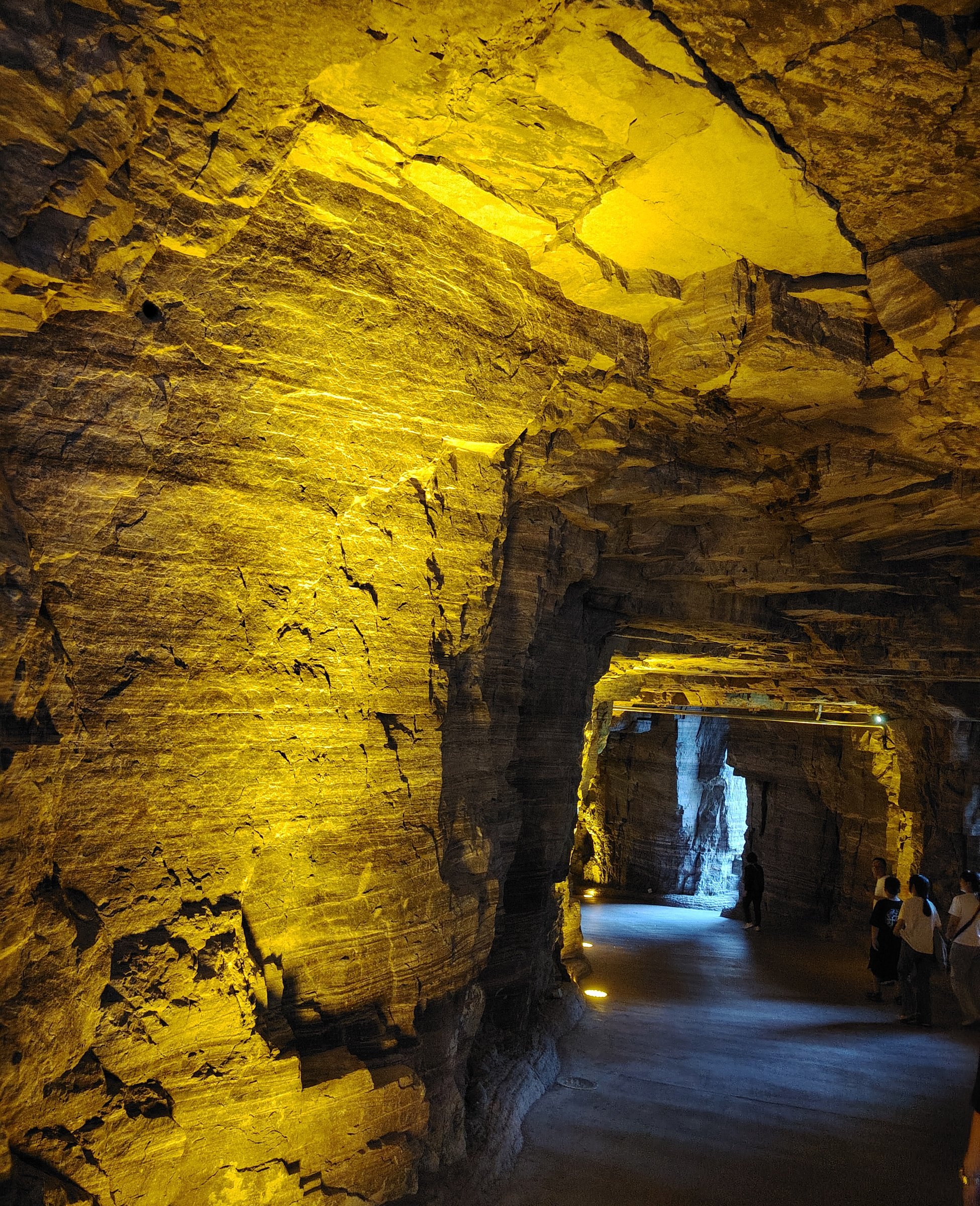
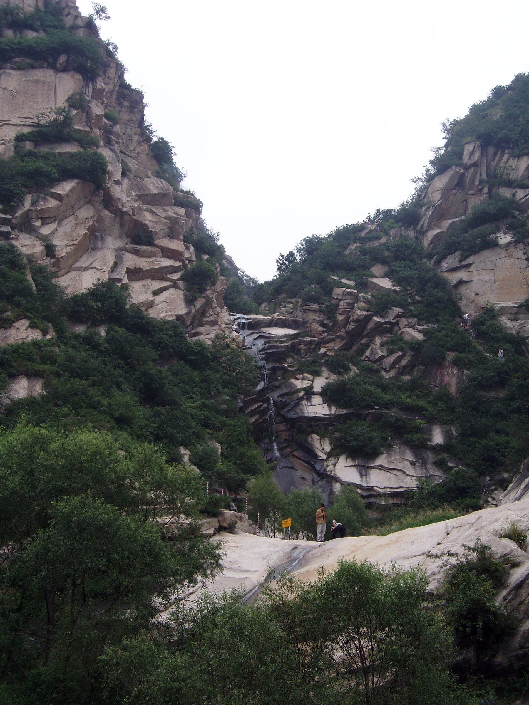
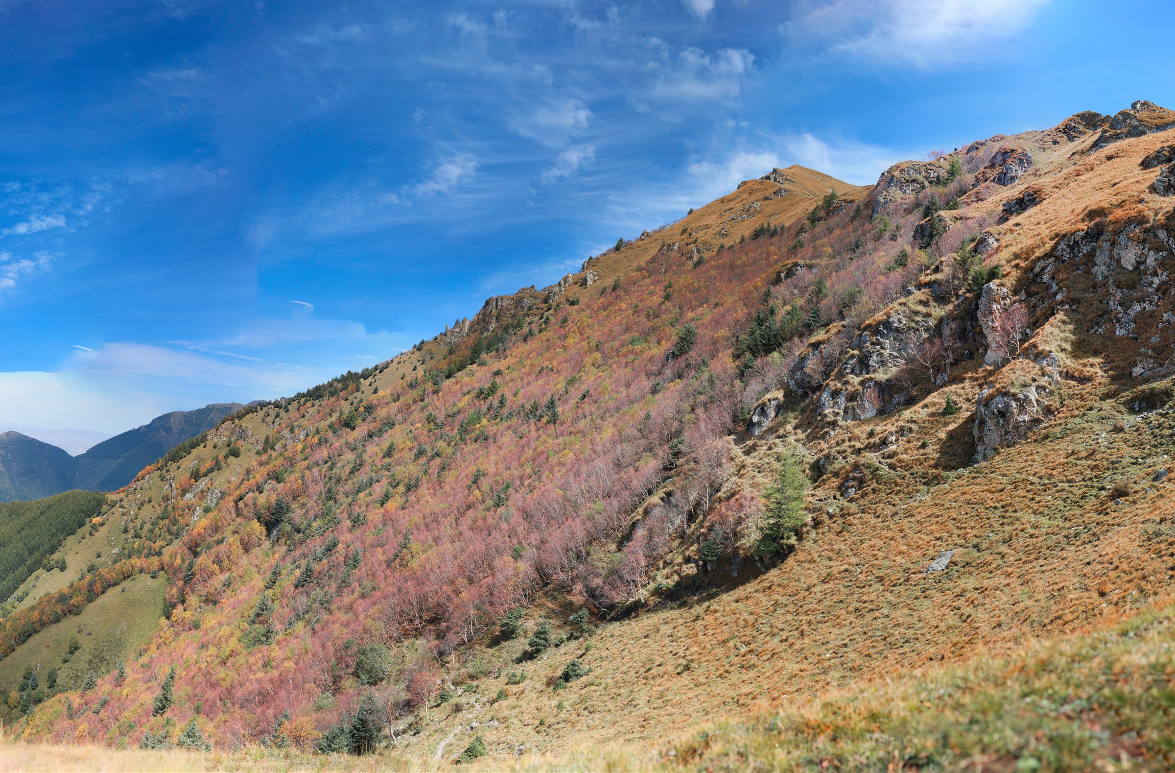
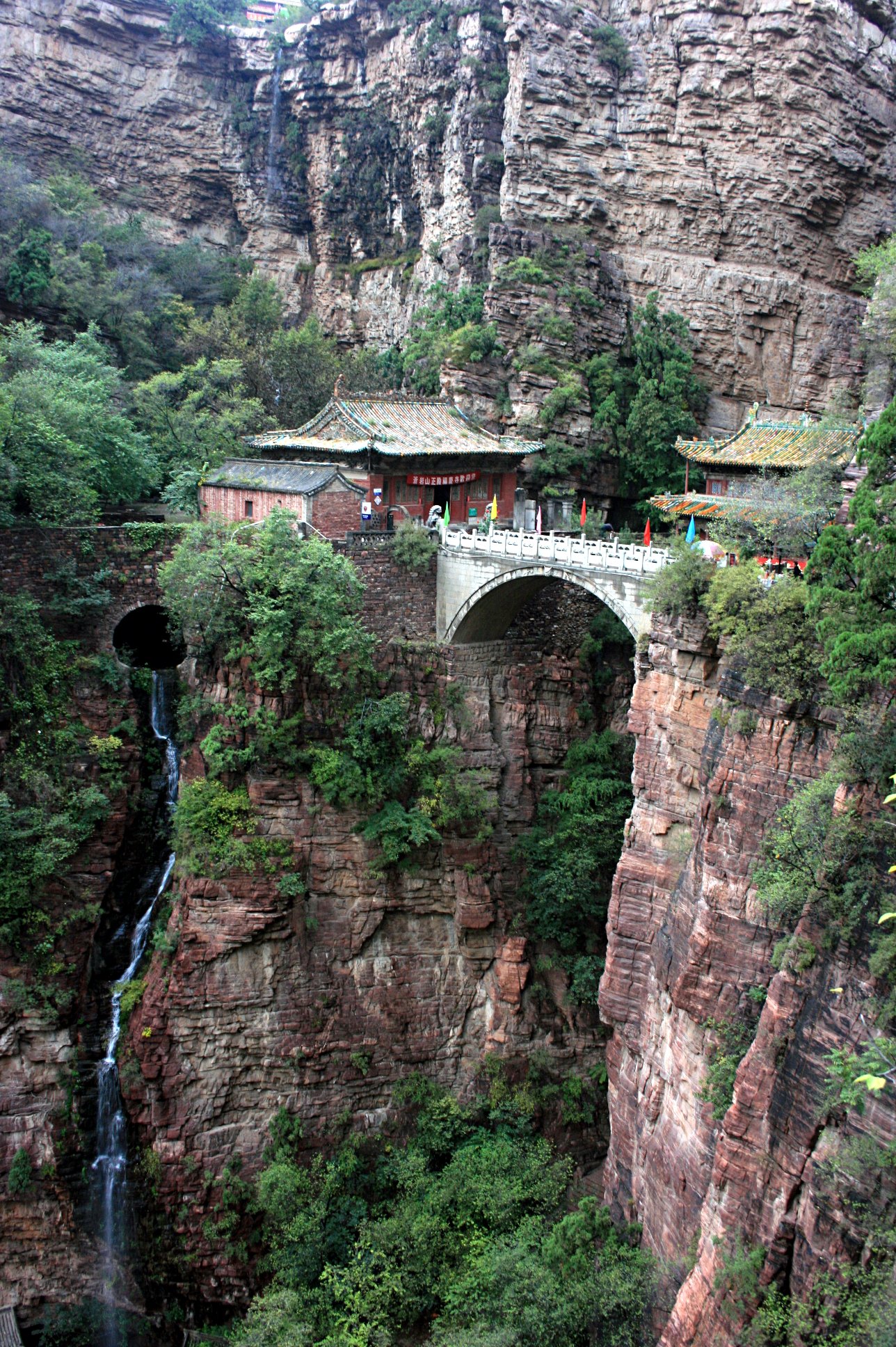
- Hike-specific open images for Baligou, Jiulian, Tianjie, Mawu, and Xiyagou were not found in this pass; the listed Commons files are regional South Taihang / Taihang candidates.
External links
| Source | URL |
|---|---|
| Silk Road Travel — Wang Mangling Scenic Spot | silkroadtravel.com |
| Trip.com — Wangmangling Mountain Scenic Spot | us.trip.com |
| Henan Provincial Government — Baligou Scenic Area | english.henan.gov.cn |
| CN Trip Essentials — Xinxiang / Baligou | cntripessentials.com |
| LoongWander — Baligou Scenic Area | loongwander.com |
| BH2255 — Xinxiang Baligou Travel Guide | bh2255.com |
| Trip.com — Jiulian Mountain Scenic Area | trip.com |
| Trip.com Moments — Jiulian Mountain guide excerpts | trip.com |
| BH2255 — Xinxiang Huilong Tianjie Mountain Scenic Area | bh2255.com |
| Trip.com — Huilong Tianjie Mountain Scenic Area | trip.com |
| Wenxiaobai — South Taihang Shuangdi-Taxus Canyon-Mawu-Baodu-Baligou route summary | wenxiaobai.com |
| Sina — South Taihang hiking route reference | k.sina.cn |
| 2bulu — Wangmangling-Xiyagou source track | 2bulu.com |
| 2bulu — Baligou scenic-area source track | 2bulu.com |
| 2bulu — Mawu-One-Line Sky-Baodu-Baligou track | 2bulu.com |