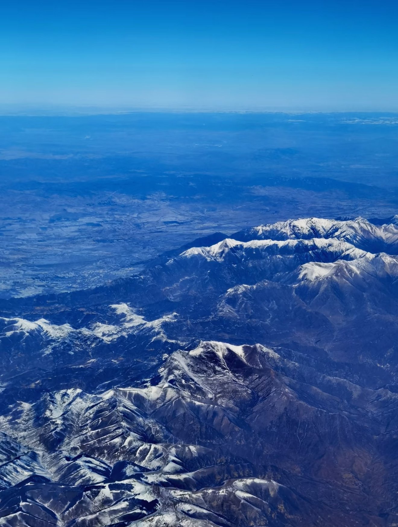
Regional overview
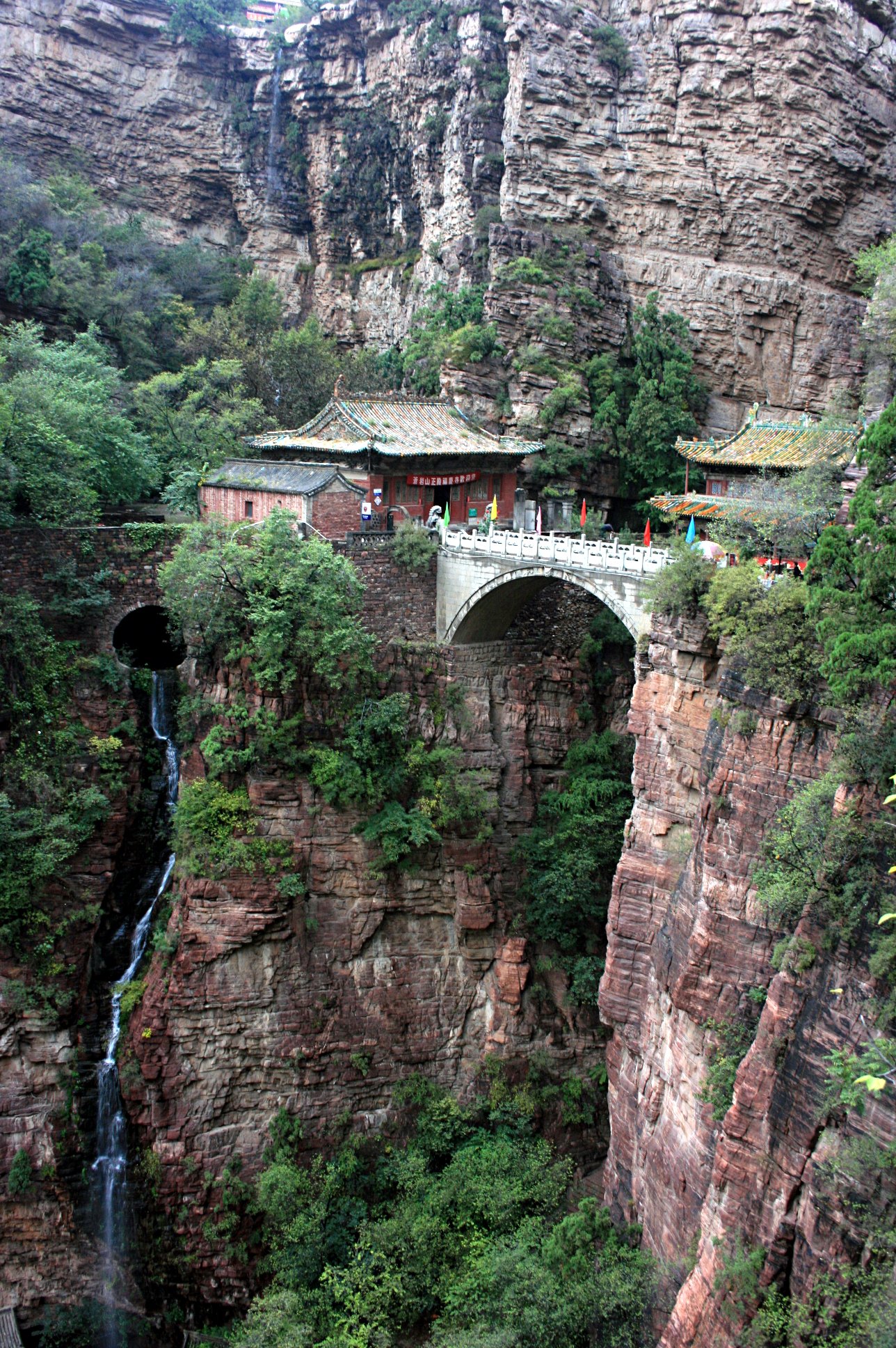
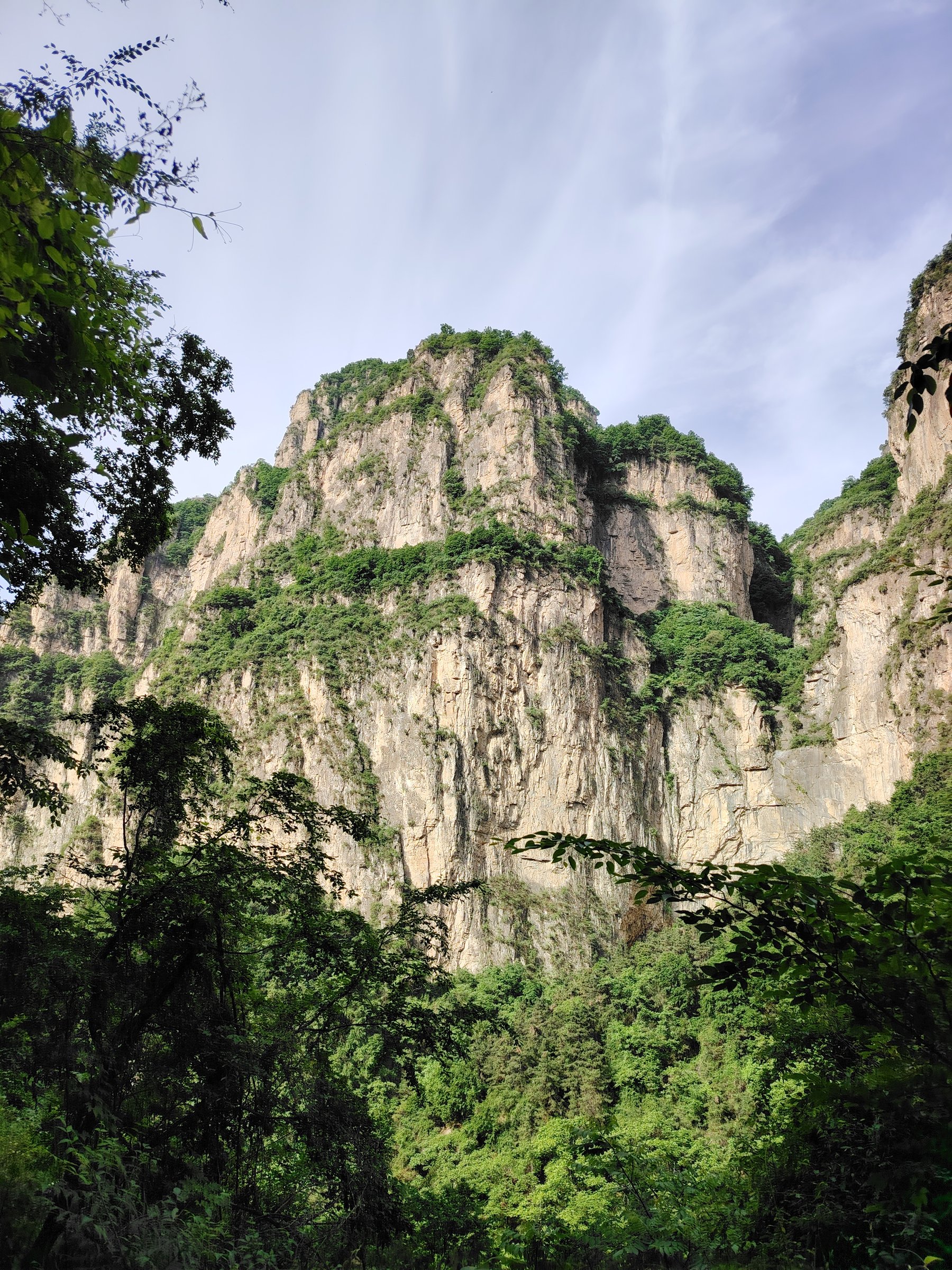
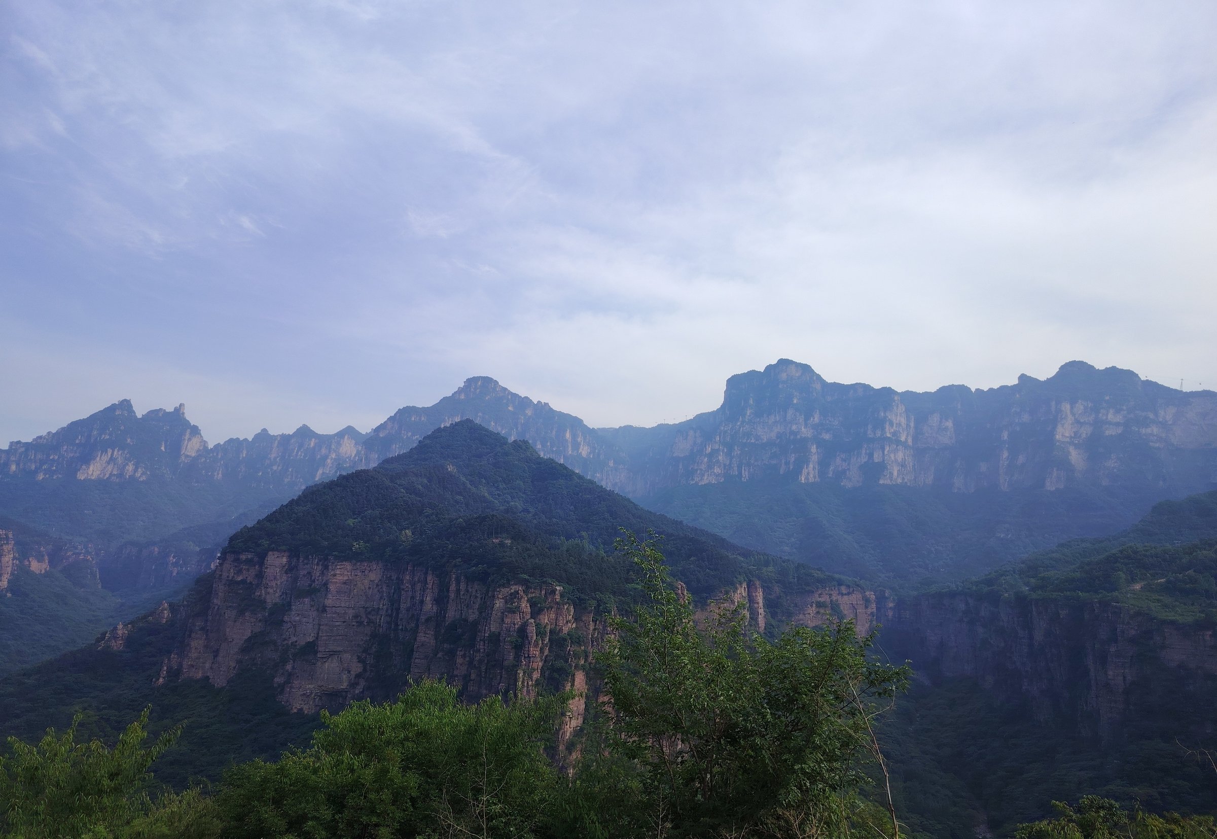
The Guoliang-Wanxian Mountains region is centred on Wanxianshan Scenic Area in Huixian, Xinxiang, Henan. The walking landscape is South Taihang red cliffs, cliff-hanging roads, stone villages, gorge paths, waterfalls, and viewpoint routes. The best-known feature is Guoliang Tunnel, the cliff road hand-cut by villagers in the 1970s.
The scenic area is commonly described as including Guoliang Village, Nanping, Luojiezhai, and associated gorge/forest/temple areas. Many visitor routes are short to moderate scenic walks connected by shuttle buses rather than fully independent mountain trails. Exact GPX-grade route statistics are scarce in public English sources.
Spring and autumn are the most comfortable seasons. Summer is hot and storm-prone, with slippery stone, waterfall spray, and flash-flood risk in gorges. Winter can bring ice on roads, steps, and shaded cliff paths.
Selection rationale
The five hikes below cover the region’s essential Wanxianshan elements: Guoliang’s cliff corridor, Guoliang viewpoints and Tianpo Gorge, Nanping’s waterfall/canyon route, Luojiezhai’s red-cliff village terrain, and a short cultural-water route around Tianchi / Shouting Spring / Sun-Moon-Star Stones. Most are partially verified or candidate-level because official GPX and exact statistics were not found.
Summary table
| # | Hike | Country | Route type | Distance | Gain | Max elevation | Difficulty |
|---|---|---|---|---|---|---|---|
| 1 | Guoliang Village and Guoliang Tunnel cliff-corridor walk | China | Loop / out-and-back | Approx. 4-6 km | Approx. 200-400 m | Approx. 1,752 m village elevation cited | Moderate |
| 2 | Guoliang Village - Wangmang Lookout - Tianpo Gorge | China | Loop / lollipop | Approx. 6-10 km | Moderate-hard | ||
| 3 | Nanping: Black Dragon Pool and Danfeng Valley route | China | Out-and-back / loop | Approx. 6-10 km | Moderate | ||
| 4 | Luojiezhai red-cliff village route | China | Out-and-back / loop | Approx. 5-8 km | Moderate | ||
| 5 | Tianchi, Shouting Spring and Sun-Moon-Star Stones walk | China | Short loop / out-and-back | Approx. 3-5 km | Minor-moderate | Easy-moderate |
1. Guoliang Village and Guoliang Tunnel Cliff-Corridor Walk

Snapshot
Itinerary
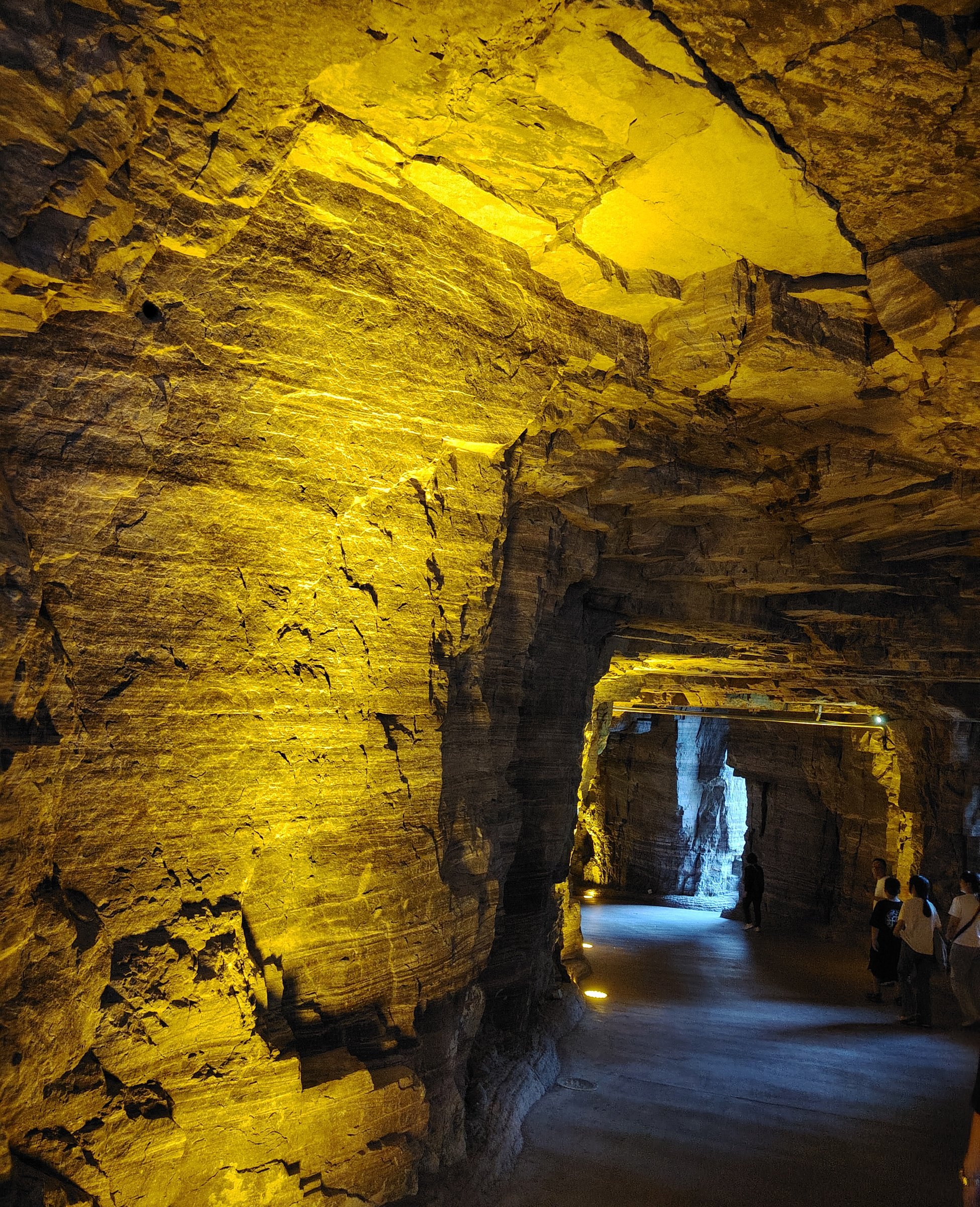
The route walks through or alongside the Guoliang Tunnel / Cliff Corridor, then continues into Guoliang Village and nearby cliffside lanes and viewpoints. China Daily identifies Guoliang as a stone village in Wanxianshan Scenic Area and describes the 1,250 m cliff passage built through the stone cliffs between 1972 and 1977. Wikipedia and DangerousRoads also give the tunnel length as about 1.2-1.25 km.
Why it is essential
This is the defining walk of the Guoliang-Wanxian region: human-built cliff access, stone village setting, and South Taihang red-wall scenery in one short route.
Equipment
Standard hiking equipment: grippy shoes, water, sun protection, rain layer, and warm layer outside summer.
Hazards and notes
Traffic, wet tunnel surfaces, cliff-edge viewpoints, crowding, and shuttle controls are the main issues. Walk only where pedestrians are permitted and use current scenic-area instructions.
GPX / KML links
| Source | URL | Format / access | Reuse status |
|---|---|---|---|
| OpenStreetMap search: Guoliang Tunnel | openstreetmap.org | Map/search | OSM data is ODbL; geometry cross-check only |
| IntoTravelChina: Wanxian Mountain route | intotravelchina.com | Suggested route | Site terms apply; no route-file licence found; itinerary reference only |
External links
- China Daily — Stony beauty in the Hinterland of the Taihang Mountains
- IntoTravelChina — Wanxian Mountain Scenic Area
- DangerousRoads — Guoliang Tunnel
2. Guoliang Village - Wangmang Lookout - Tianpo Gorge

Snapshot
Itinerary
IntoTravelChina suggests a Wanxian Mountain walking route starting at Guoliang Village, passing through Guoliang Tunnel and the Calligraphy Gallery, hiking to Wangmang Lookout, and returning by Tianpo Gorge. Treat this as a source itinerary requiring local map confirmation before GPX production.
Why it is essential
This route turns the short Guoliang tunnel visit into a fuller cliff-and-gorge day walk with a named lookout and gorge return.
Equipment
Mountain hiking equipment: sturdy shoes, water, food, weather layer, sun protection, and navigation backup.
Hazards and notes
Gorge closures, rockfall, wet stone, and unclear side paths are the main issues. Current scenic-area maps should determine whether Tianpo Gorge is open and whether the loop is one-way.
GPX / KML links
| Source | URL | Format / access | Reuse status |
|---|---|---|---|
| OpenStreetMap search: Wanxian Mountain | openstreetmap.org | Map/search | OSM data is ODbL; geometry cross-check only |
| IntoTravelChina: Wanxian Mountain route | intotravelchina.com | Suggested route | Site terms apply; no route-file licence found; itinerary reference only |
External links
- IntoTravelChina — Wanxian Mountain Scenic Area
- BH2255 — Xinxiang Huixian Wanxianshan Scenic Area guide
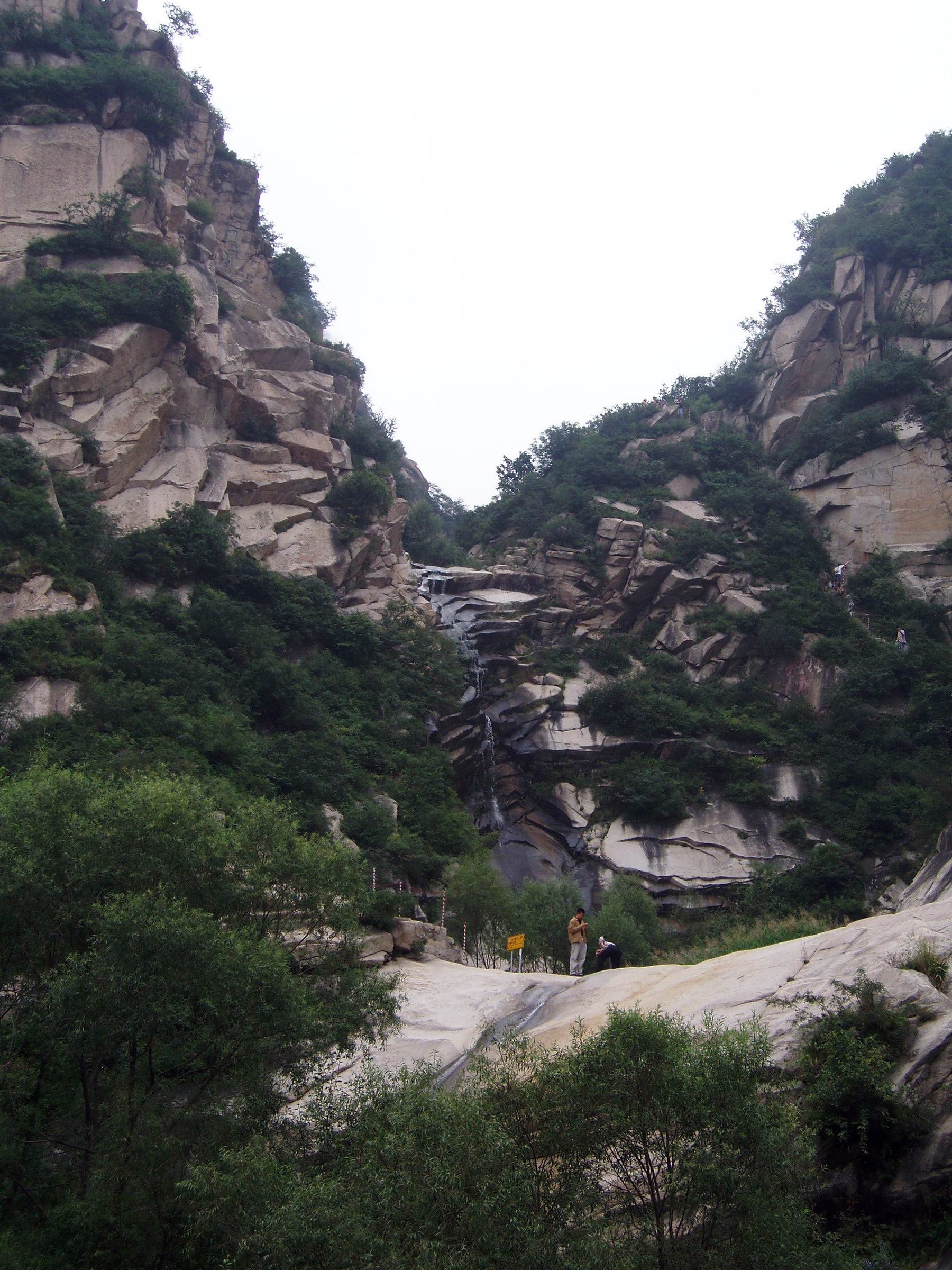
3. Nanping: Black Dragon Pool and Danfeng Valley Route
Snapshot
Itinerary
BH2255 lists Nanping / Qingyou Mountain Township with Sun-Moon-Star Stone, Jiangjun Stone, Black Dragon Pond Waterfall, Bailong Pond Waterfall, Danfengou/Danfeng Valley, secondary forest, suspended plank road, and Mojianfeng Waterfall. The catalogue route should follow the signed Nanping waterfall and gorge path, selected to remain within a day-hike length.
Why it is essential
Nanping represents Wanxianshan’s waterfall, gorge, and forest side, balancing Guoliang’s cliff road and village architecture.
Equipment
Standard hiking equipment: grippy shoes, rain layer, water, snacks, sun protection, and poles if descending wet steps.
Hazards and notes
Waterfall and gorge routes can be slippery or closed after storms. Exact distance and elevation gain need manual GPX confirmation.
GPX / KML links
| Source | URL | Format / access | Reuse status |
|---|---|---|---|
| OpenStreetMap search: Nanping Wanxianshan | openstreetmap.org | Map/search | OSM data is ODbL; geometry cross-check only |
| BH2255: Wanxianshan guide | bh2255.com | Guide itinerary | Site terms apply; no route-file licence found; landmark reference only |
External links
- BH2255 — Wanxianshan Scenic Area guide
- Zhangjiajie Holiday — Wanxianshan Scenic Area
- CN Trip Essentials — Xinxiang guide
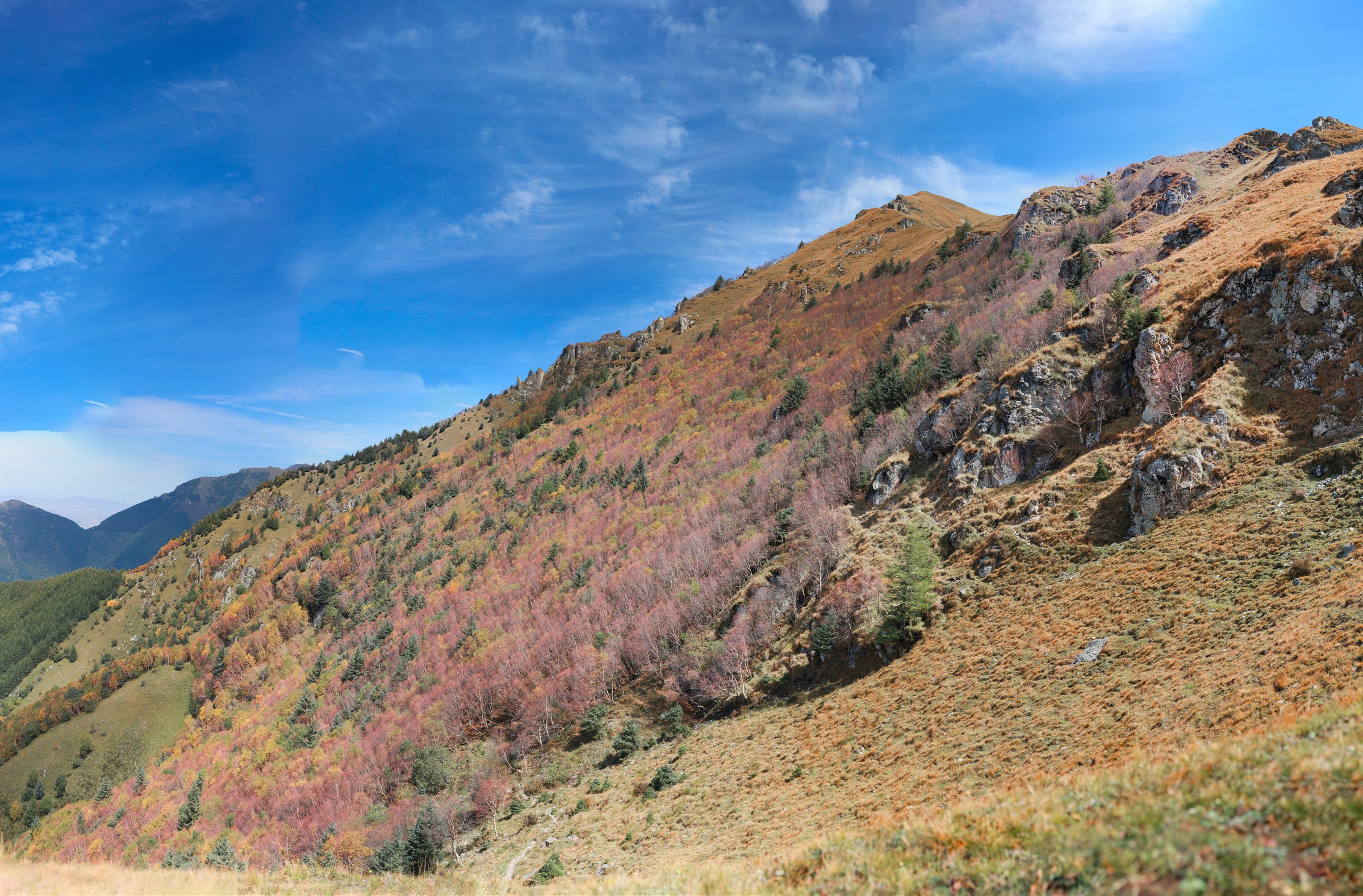
4. Luojiezhai Red-Cliff Village Route
Snapshot
Itinerary
The route should explore the Luojiezhai sub-area of Wanxianshan, described by Zhangjiajie Holiday as a village in the northern section of the scenic area above the red rock cliffs of Taihang Mountain. Exact walking lines and statistics were not found in this pass.
Why it is essential
Luojiezhai adds a quieter village-and-red-cliff component within the same Wanxianshan landscape, avoiding a selection made only of Guoliang variants.
Equipment
Standard hiking equipment: hiking shoes, water, snacks, weather layer, sun protection, and navigation.
Hazards and notes
The entry needs local map verification. Do not use unofficial cliff shortcuts or closed village paths.
GPX / KML links
| Source | URL | Format / access | Reuse status |
|---|---|---|---|
| OpenStreetMap search: Luojiezhai Wanxianshan | openstreetmap.org | Map/search | OSM data is ODbL; geometry cross-check only |
| Zhangjiajie Holiday: Wanxianshan Scenic Area | zhangjiajieholiday.com | Attraction guide | Site terms apply; no route-file licence found; sub-area reference only |
External links
5. Tianchi, Shouting Spring and Sun-Moon-Star Stones Walk

Snapshot
Itinerary
This shorter route should link signed Wanxianshan features such as Tianchi, Shouting Spring, and Sun-Moon-Star Stones where the current scenic-area map allows a logical walk. BH2255 lists these as major Wanxianshan attractions, and Trip.com visitor material also highlights Tianchi as a viewpoint/reservoir stop in the Guoliang/Wanxianshan area.
Why it is essential
The route provides a shorter scenic-area walk for the same catalogue region, useful when the longer gorge or cliff routes are closed or impractical.
Equipment
Standard hiking equipment: walking shoes, water, sun protection, and weather layer.
Hazards and notes
Exact path sequence and statistics need manual confirmation. Treat this as a candidate until the scenic-area map is checked.
GPX / KML links
| Source | URL | Format / access | Reuse status |
|---|---|---|---|
| OpenStreetMap search: Tianchi Wanxianshan | openstreetmap.org | Map/search | OSM data is ODbL; geometry cross-check only |
| Trip.com: Wanxian Mountain Scenic Spot | us.trip.com | Visitor guide/reviews | Platform terms apply; landmark and access reference only |
External links
External links
| Source | URL |
|---|---|
| China Daily — Stony beauty in the Hinterland of the Taihang Mountains | chinadaily.com.cn |
| IntoTravelChina — Wanxian Mountain Scenic Area | intotravelchina.com |
| BH2255 — Wanxianshan Scenic Area guide | bh2255.com |
| Zhangjiajie Holiday — Wanxianshan Scenic Area | zhangjiajieholiday.com |
| CN Trip Essentials — Xinxiang guide | cntripessentials.com |
| DangerousRoads — Guoliang Tunnel | dangerousroads.org |
| Trip.com — Wanxian Mountain Scenic Spot | us.trip.com |