Regional overview
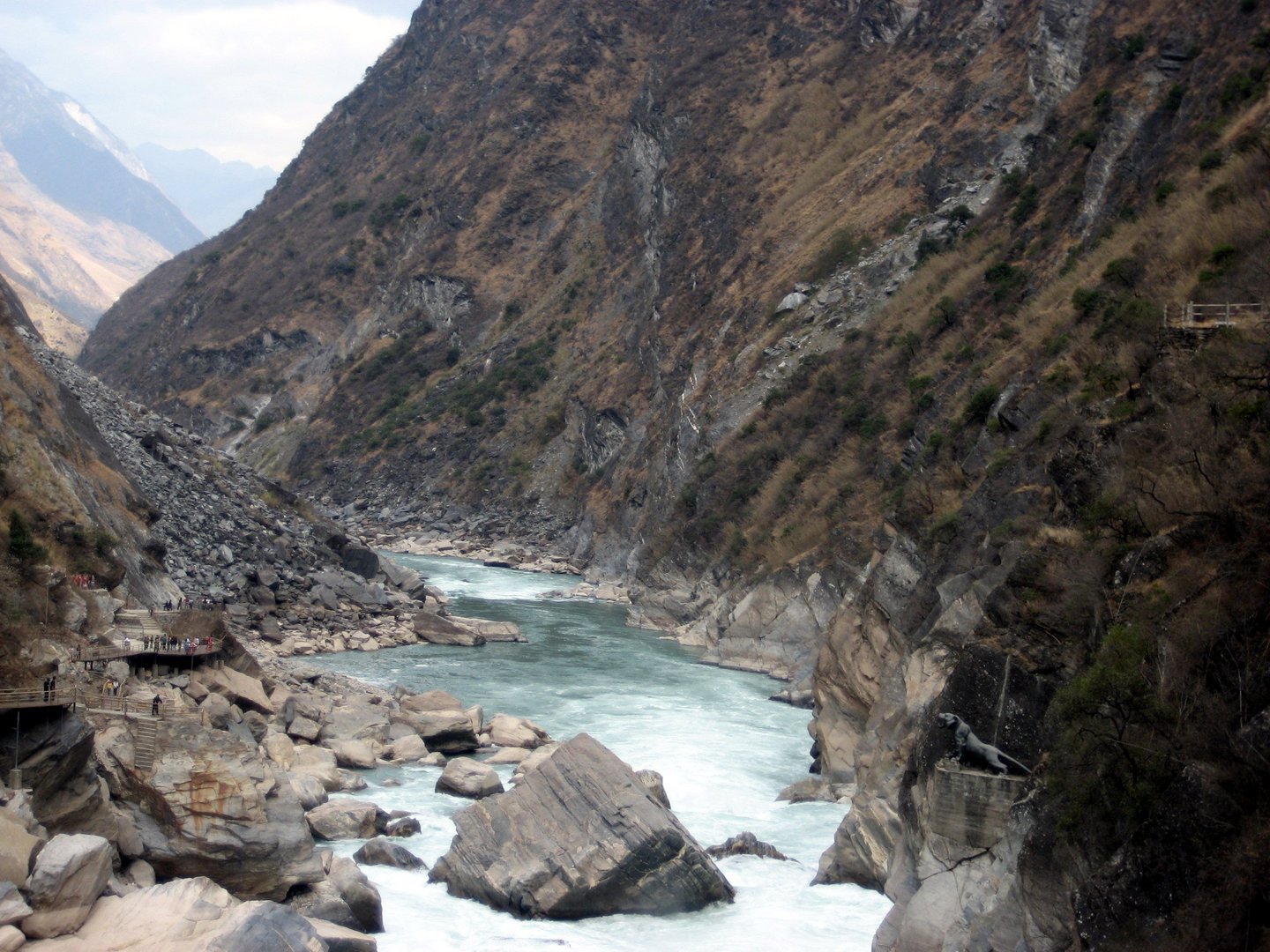
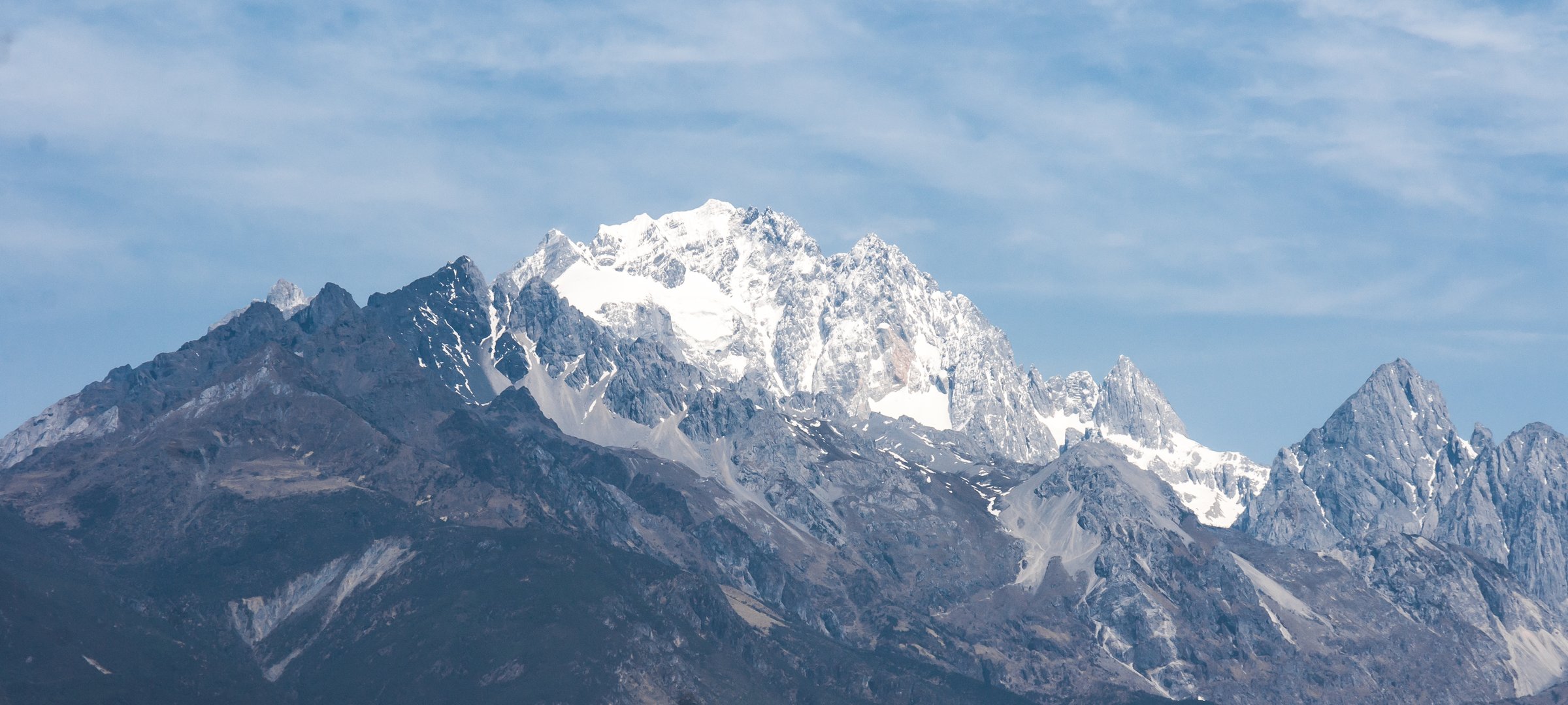
Yulong, or Jade Dragon Snow Mountain, rises immediately north of Lijiang and dominates the Naxi cultural landscape. The region combines highly managed scenic-area walks, cableway-assisted high-altitude boardwalks, lower alpine meadows, Naxi villages such as Yuhu and Baisha, and quieter wetland/meadow routes around Wenhai.
Most official visitor routes are not wilderness hikes. They use scenic shuttles, cable cars, boardwalks, and ticketed areas. That managed access is still essential here because it is the legal and established way to experience the mountain close-up; independent high routes into the massif can become serious and may enter restricted or fragile terrain.
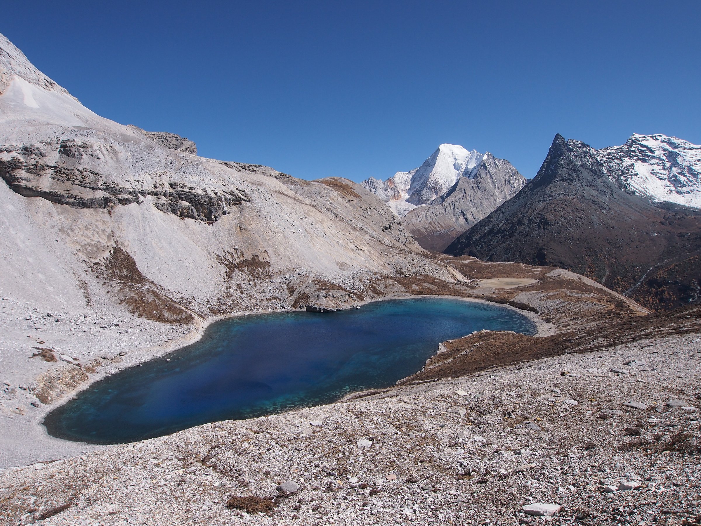
Altitude rises quickly from Lijiang around 2,400 m to scenic walks above 3,000 m and the Glacier Park boardwalk above 4,500 m. Cableway tickets, weather closures, crowds, and time slots should be checked before departure.
Selection rationale
The five hikes cover the region’s main walking characters: the iconic Glacier Park high boardwalk, Blue Moon Valley and Spruce Meadow lower scenic route, Yak Meadow high pasture, the Yuhu Village foot ascent to alpine meadow, and the quieter Wenhai lake/village walking landscape.
Summary table
| # | Hike | Country | Route type | Distance | Gain | Max elevation | Difficulty |
|---|---|---|---|---|---|---|---|
| 1 | Glacier Park upper boardwalk / Jade Dragon Snow Mountain Loop | China | Lift-assisted loop | 1.3 km | 116 m | 4,613 m AllTrails; official visitor point often cited 4,680 m | Moderate due to altitude |
| 2 | Blue Moon Valley and Spruce Meadow scenic walk | China | Shuttle/cableway-assisted linked walks | 4-7 km depending variant | 109 m for Blue Moon Valley; Spruce Meadow gain unresolved | Approx. 3,200 m at Spruce Meadow | Easy-moderate |
| 3 | Yak Meadow / Maoniuping high pasture walk | China | Cableway-assisted out-and-back / loop | Approx. 2-5 km | Minor | 3,500-3,700 m depending source | Moderate |
| 4 | Yuhu Village to Alpine Meadow | China | Out-and-back | 9-11.9 km depending source/turnaround | Approx. 900 m | Approx. 3,600-3,660 m | Hard |
| 5 | Wenhai Lake and Yuhu/Wenhai traverse | China | Point-to-point / loop variant | Approx. 8-12 km | Approx. 400-700 m depending direction | Approx. 3,100-3,200 m | Moderate-hard |
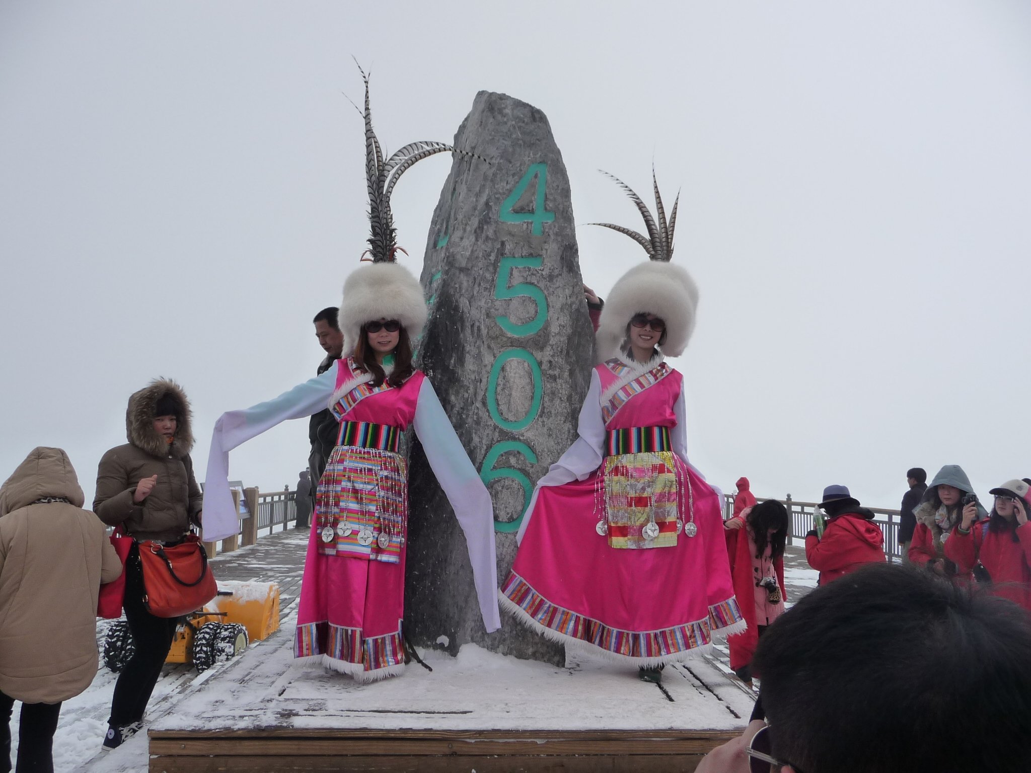
1. Glacier Park Upper Boardwalk / Jade Dragon Snow Mountain Loop

Snapshot
Itinerary
The route uses the scenic-area bus and main Glacier Park cableway to reach the high platform system. From the upper station, boardwalks and stairs lead to viewpoints close to the glacier/snowfield face before returning to the cableway.
Why it is essential
This is the iconic close-up public route on Jade Dragon Snow Mountain and the highest ordinary visitor walk in the Lijiang area.
Equipment
Warm layer, windproof/waterproof shell, gloves/hat, sun protection, sunglasses, water, and footwear with grip. Oxygen is commonly sold locally; walkers with altitude or medical concerns should seek medical advice.
Hazards and notes
Altitude sickness is the main risk despite the short distance. The cableway can close in wind, and tickets are often time-limited or sold out. Do not leave the boardwalk or attempt climbing terrain.
GPX / KML links
| Source | URL | Format / access | Reuse status |
|---|---|---|---|
| AllTrails: Jade Dragon Snow Mountain Loop | alltrails.com | Route page / app map | AllTrails terms apply; source-map and statistics used; file reuse not confirmed |
| OpenStreetMap search: Jade Dragon Snow Mountain Glacier Park | openstreetmap.org | OSM map/search | OSM data is ODbL; geometry cross-check only |
External links
- AllTrails — Jade Dragon Snow Mountain Loop
- China Highlights — Jade Dragon Snow Mountain
- LoongWander — Jade Dragon Snow Mountain
2. Blue Moon Valley and Spruce Meadow Scenic Walk
Snapshot
Itinerary
Walk the lake and waterfall paths of Blue Moon Valley, linking the lower pools, bridges, and glacial-meltwater viewpoints. If time and tickets allow, continue by internal transport and cableway to Spruce Meadow for a short meadow/forest walk below the snow mountain.
Why it is essential
This route gives the most accessible lower Yulong landscape: turquoise water, snow-mountain reflections, forest, and the famous Spruce Meadow without severe altitude.
Equipment
Standard hiking equipment, water, sun protection, light waterproof layer, and warm layer for Spruce Meadow.
Hazards and notes
Crowding, slippery wet paths, shuttle queues, and weather-driven schedule changes are the main issues. Stay on boardwalks and signed paths.
GPX / KML links
| Source | URL | Format / access | Reuse status |
|---|---|---|---|
| AllTrails: Blue Moon Valley | alltrails.com | Route page / app map | AllTrails terms apply; source-map and statistics used; file reuse not confirmed |
| OpenStreetMap search: Blue Moon Valley Yulong | openstreetmap.org | OSM map/search | OSM data is ODbL; geometry cross-check only |
External links
- AllTrails — Blue Moon Valley
- China Highlights — Jade Dragon Snow Mountain scenic routes
- PlanChinaTrip — Jade Dragon Snow Mountain
3. Yak Meadow / Maoniuping High Pasture Walk
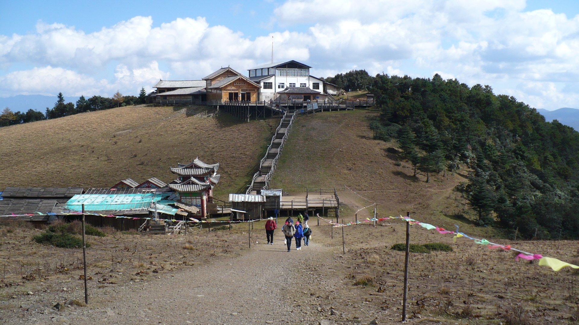
Snapshot
Itinerary
After the Yak Meadow cableway, the route follows open pasture and viewpoint paths across the high meadow below the northern Yulong peaks. The walk is short but exposed to wind and altitude, with grazing landscapes and broad mountain views.
Why it is essential
Yak Meadow is the quietest of the major Yulong scenic-area cableway walks and best represents the pastoral high-meadow side of the mountain.
Equipment
Warm layer, windproof shell, sun protection, water, and grippy footwear. Carry hat/gloves outside warm weather.
Hazards and notes
Altitude and wind are the main issues. Keep distance from livestock and remain on open paths. Cableway operations can change with weather.
GPX / KML links
| Source | URL | Format / access | Reuse status |
|---|---|---|---|
| OpenStreetMap search: Yak Meadow Jade Dragon Snow Mountain | openstreetmap.org | OSM map/search | OSM data is ODbL; geometry cross-check only |
| LoongWander: Jade Dragon Snow Mountain | loongwander.com | Scenic-area route description | Site terms apply; no reusable GPX confirmed |
External links
- LoongWander — Jade Dragon Snow Mountain one-day route and Yak Meadow context
- China for Travelers — Yak Meadow altitude/access context
- PlanChinaTrip — Yak Meadow visitor notes
4. Yuhu Village to Alpine Meadow

Snapshot
Itinerary
From Yuhu Village, the route climbs through grassland, forest, and rocky drainage terrain towards the lower alpine meadow on the south side of Jade Dragon Snow Mountain. The day-hike version turns around at the meadow viewpoint rather than continuing towards higher canyon or scree terrain.
Why it is essential
This is the most important true foot-ascent day hike in the Yulong/Lijiang area, starting from a Naxi village and reaching the mountain’s lower alpine zone.
Equipment
Mountain hiking equipment, boots, water, food, trekking poles, warm layer, waterproof shell, sun protection, navigation backup, and headtorch.
Hazards and notes
Higher continuations towards Snow Mountain Canyon are much more serious and exceed normal day-hike constraints. Stay with the lower alpine-meadow objective unless using a competent local guide and current legal route information.
GPX / KML links
| Source | URL | Format / access | Reuse status |
|---|---|---|---|
| Wikiloc: Yuhu Village to Jade Dragon mountain | wikiloc.com | Route page / GPS track | Wikiloc terms apply; source track found; reuse terms not confirmed |
| OpenStreetMap search: Yuhu Village Jade Dragon Mountain | openstreetmap.org | OSM map/search | OSM data is ODbL; geometry cross-check only |
External links
- China Highlights — Jade Dragon Snow Mountain hiking routes
- Wikiloc — Yuhu Village to Jade Dragon route
- Yunnan Exploration — Yunnan hiking route context
5. Wenhai Lake and Yuhu/Wenhai Traverse
Snapshot
Itinerary
The route links Yuhu or another Lijiang-side village with the Wenhai wetland basin on the slopes of Jade Dragon Snow Mountain. Depending on direction, it climbs from the Lijiang valley through open slopes and village paths to the seasonal lake and meadow, or descends from Upper Wenhai towards Yuhu.
Why it is essential
Wenhai adds the quieter Naxi village, seasonal lake, wetland, and lower-slope ecological landscape missing from the heavily managed Yulong scenic-area routes.
Equipment
Standard-to-mountain hiking equipment, water, food, sun protection, rain shell, warm layer, offline map, and footwear suitable for muddy grassland.
Hazards and notes
Route statistics and legal path status need field confirmation. The lake is seasonal and may be dry or marshy outside the rainy season. Mobile signal and services are limited.
GPX / KML links
| Source | URL | Format / access | Reuse status |
|---|---|---|---|
| TrekYunnan: Wenhai Lake overview | trekyunnan.com | Route overview / route network context | Site terms apply; no reusable GPX confirmed |
| OpenStreetMap search: Wenhai Lijiang | openstreetmap.org | OSM map/search | OSM data is ODbL; geometry cross-check only |
External links
- China Trekking — Wenhai hiking guide
- TrekYunnan — Wenhai Lake overview
- GoKunming — Hiking in Lijiang: Wenhai Mountain
- The Bivou — Wenhai to Yuhu route note
External links
| Source | URL |
|---|---|
| AllTrails — Jade Dragon Snow Mountain Loop | alltrails.com |
| AllTrails — Blue Moon Valley | alltrails.com |
| China Highlights — Jade Dragon Snow Mountain | chinahighlights.com |
| LoongWander — Jade Dragon Snow Mountain | loongwander.com |
| PlanChinaTrip — Jade Dragon Snow Mountain | planchinatrip.com |
| China for Travelers — Yak Meadow altitude/access context | chinafortravelers.com |
| Wikiloc — Yuhu Village to Jade Dragon mountain | wikiloc.com |
| Yunnan Exploration — Yunnan hiking tours | yunnanexploration.com |
| China Trekking — Wenhai | chinatrekking.com |
| TrekYunnan — Wenhai Lake overview | trekyunnan.com |
| GoKunming — Hiking in Lijiang: Wenhai Mountain | gokunming.com |
| The Bivou — Wenhai to Yuhu route note | bivou.com |