Regional overview
This region covers the dry transition where Ningxia and Inner Mongolia meet the Tengger and Ordos desert margins, Yellow River corridors, and lower Helan / foothill escarpments. Hiking character is dune-edge walking, river bluffs, desert-lake margins, short scenic-area routes, and occasional cultural foothill walks.
The most robust official anchor is Shapotou at Zhongwei, where the Tengger Desert meets the Yellow River. Other candidates such as Tengger lake walks, Qingtongxia / Niushou Mountain, Sand Lake, and lower Helan foothills need stronger route-level verification.
Best season is April-May and September-October. Summer heat, sandstorms, dehydration, and navigation are the main hazards.
This is a sourceability draft, not a publication-ready chapter. Several entries below are labelled Candidate only because official walking-route stats and GPX sources were not found.
Selection rationale
The selection prioritises Shapotou and other desert / Yellow River edge landscapes. Several entries are candidates because official walking-route stats and GPX sources were not found.
Summary table
| # | Hike | Route type | Distance | Gain | Max elevation | Difficulty | Verification |
|---|---|---|---|---|---|---|---|
| 1 | Shapotou Yellow River-Tengger dune ridge walk | Loop / out-and-back | scenic-area walking route | Low-moderate | Easy-moderate | Partially verified | |
| 2 | Tengger Desert lake-and-dune day walk | Out-and-back / loop | Low-moderate dune gain | c.1,400 m desert elevation | Moderate | Candidate only | |
| 3 | Qingtongxia 108 Pagodas — Niushou Mountain reservoir walk | Out-and-back / loop | Easy-moderate | Candidate only | |||
| 4 | Sand Lake reed-dune margin circuit | Loop | Minimal | Easy | Candidate only | ||
| 5 | Lower Helan east-foot desert escarpment walk | Out-and-back / loop | Easy-moderate | Candidate only |
1. Shapotou Yellow River-Tengger dune ridge walk
Snapshot
Itinerary
The route should use marked Shapotou scenic-area paths linking the Yellow River edge, sand mountain viewpoints, and Tengger Desert margin. Avoid substituting motorised desert activities for the walking route.
Why it is essential
Shapotou is the iconic Ningxia desert-edge landscape: a direct meeting of the Tengger Desert and the Yellow River with managed visitor access.
Equipment
- Desert hiking equipment: sun protection, water.
- Grippy shoes / sand gaiters optional, wind layer.
Hazards and notes
- Avoid midday summer heat.
- Stay on marked routes and respect environmental controls around dunes and riverbanks.
GPX / KML links
| Source | URL | Format / access | Reuse status |
|---|---|---|---|
| Official route | Not found | - | Unresolved |
| OpenStreetMap search: Shapotou | openstreetmap.org | Source map | OSM data is ODbL; geometry cross-check only |
External links
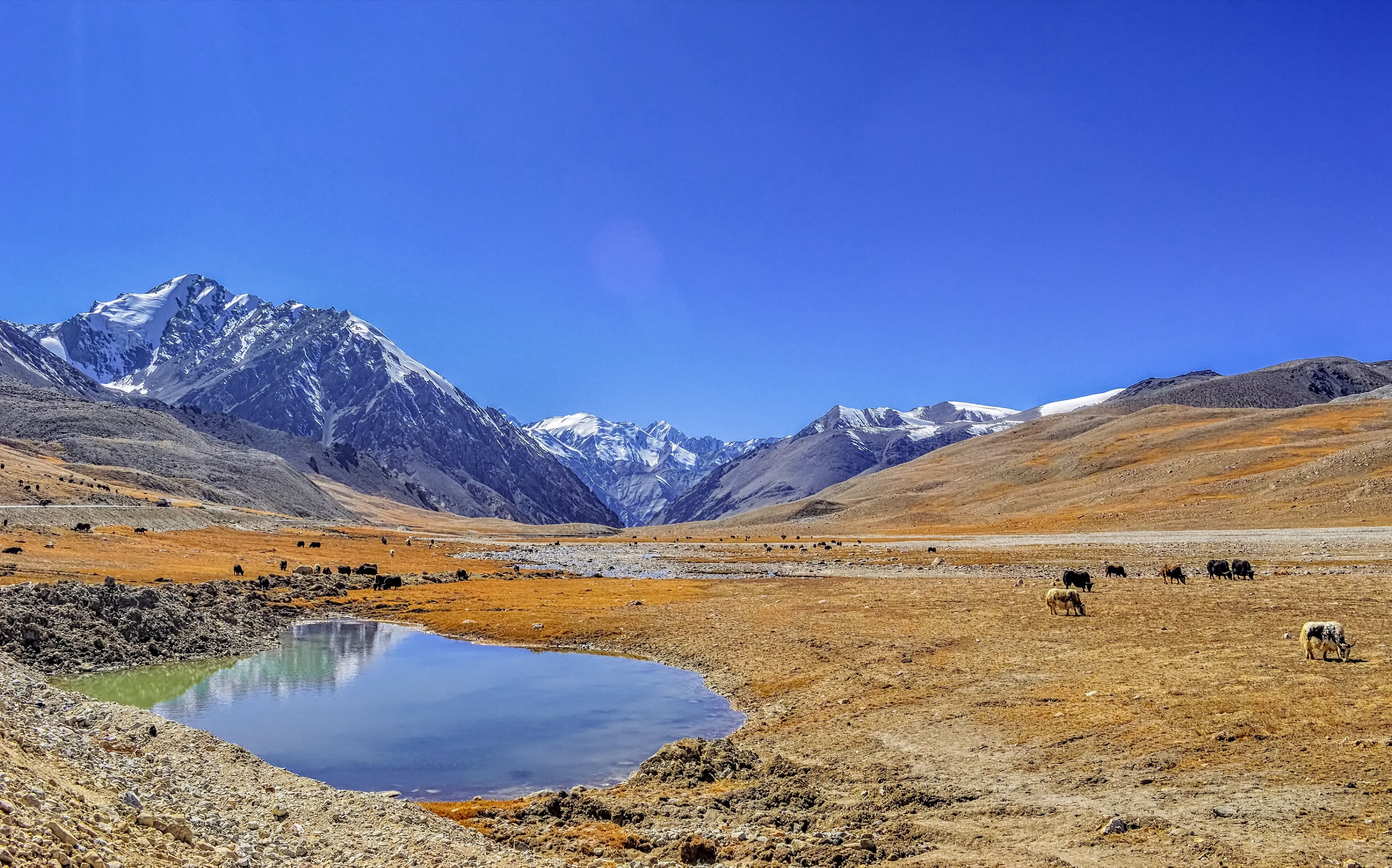
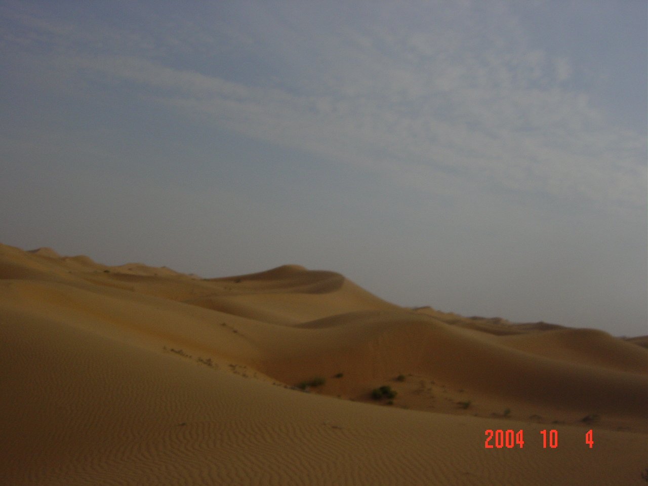
2. Tengger Desert lake-and-dune day walk
Snapshot
Itinerary
The route should be selected at a managed Tengger desert-lake access point rather than as an unsupported traverse, linking lake margin, dune crest, and return route.
Why it is essential
Tengger is the major desert landscape adjoining Ningxia and Inner Mongolia and represents the pure dune / lake side of the desert-edge escarpment theme.
Equipment
- Desert hiking equipment, high water capacity, navigation.
- Sun and wind protection.
Hazards and notes
- Unsupported off-track desert travel is not suitable for a general day-hike catalogue.
GPX / KML links
| Source | URL | Format / access | Reuse status |
|---|---|---|---|
| Official route | Not found | - | Unresolved |
| OpenStreetMap search: Tengger Desert | openstreetmap.org | Source map | OSM data is ODbL; geometry cross-check only |
External links
3. Qingtongxia 108 Pagodas — Niushou Mountain reservoir walk
Snapshot
Itinerary
The route should link public walking areas around Qingtongxia Reservoir, the 108 Pagodas, and Niushou Mountain where permitted.
Why it is essential
It adds a Yellow River reservoir and cultural low-mountain landscape south of the Helan / Tengger edge.
Equipment
- Standard hiking equipment, sun protection.
Hazards and notes
- Route alignment and public access across reservoir / dam areas need local confirmation.
GPX / KML links
| Source | URL | Format / access | Reuse status |
|---|---|---|---|
| Official route | Not found | - | Unresolved |
| OpenStreetMap search: Qingtongxia 108 Pagodas | openstreetmap.org | Source map | OSM data is ODbL; geometry cross-check only |
External links
4. Sand Lake reed-dune margin circuit
Snapshot
Itinerary
The route should use Sand Lake’s public paths and boardwalks around reeds, water, and sand hills, if a continuous legal walking circuit is confirmed.
Why it is essential
Sand Lake represents the wetland / dune contrast on the Ningxia-Inner Mongolia desert edge.
Equipment
- Standard hiking equipment, sun and insect protection.
Hazards and notes
- This may be more of a scenic walk than a mountain hike; include only if the catalogue accepts desert-edge wetland walks.
GPX / KML links
| Source | URL | Format / access | Reuse status |
|---|---|---|---|
| Official route | Not found | - | Unresolved |
| OpenStreetMap search: Sand Lake, Shahu | openstreetmap.org | Source map | OSM data is ODbL; geometry cross-check only |
External links
5. Lower Helan east-foot desert escarpment walk
Snapshot
Itinerary
The route should be chosen from legal lower Helan foothill public paths near established scenic sites, avoiding duplication with the fuller Helan Mountains region entry.
Why it is essential
The lower Helan escarpment is one of the clearest physical boundaries between Ningxia’s settled plain and the desert mountain front.
Equipment
- Standard hiking equipment, sun and wind protection.
Hazards and notes
- Route is unresolved and overlaps geographically with the Helan Mountains entry; retain only if this desert-edge region remains separate in the catalogue.
GPX / KML links
| Source | URL | Format / access | Reuse status |
|---|---|---|---|
| Official route | Not found | - | Unresolved |
| OpenStreetMap search: Lower Helan east foot | openstreetmap.org | Source map | OSM data is ODbL; geometry cross-check only |
External links
External links
| Source | URL |
|---|---|
| Shapotou visitor page | shapotou.com |
| Ningxia China Daily — Shapotou | regional.chinadaily.com.cn |
| CTG — Shapotou Tourist Resort | ctgii.com |
| TravelChinaGuide — Yinchuan hiking routes | travelchinaguide.com |
| TravelChinaGuide — Helan Mountain overview | travelchinaguide.com |