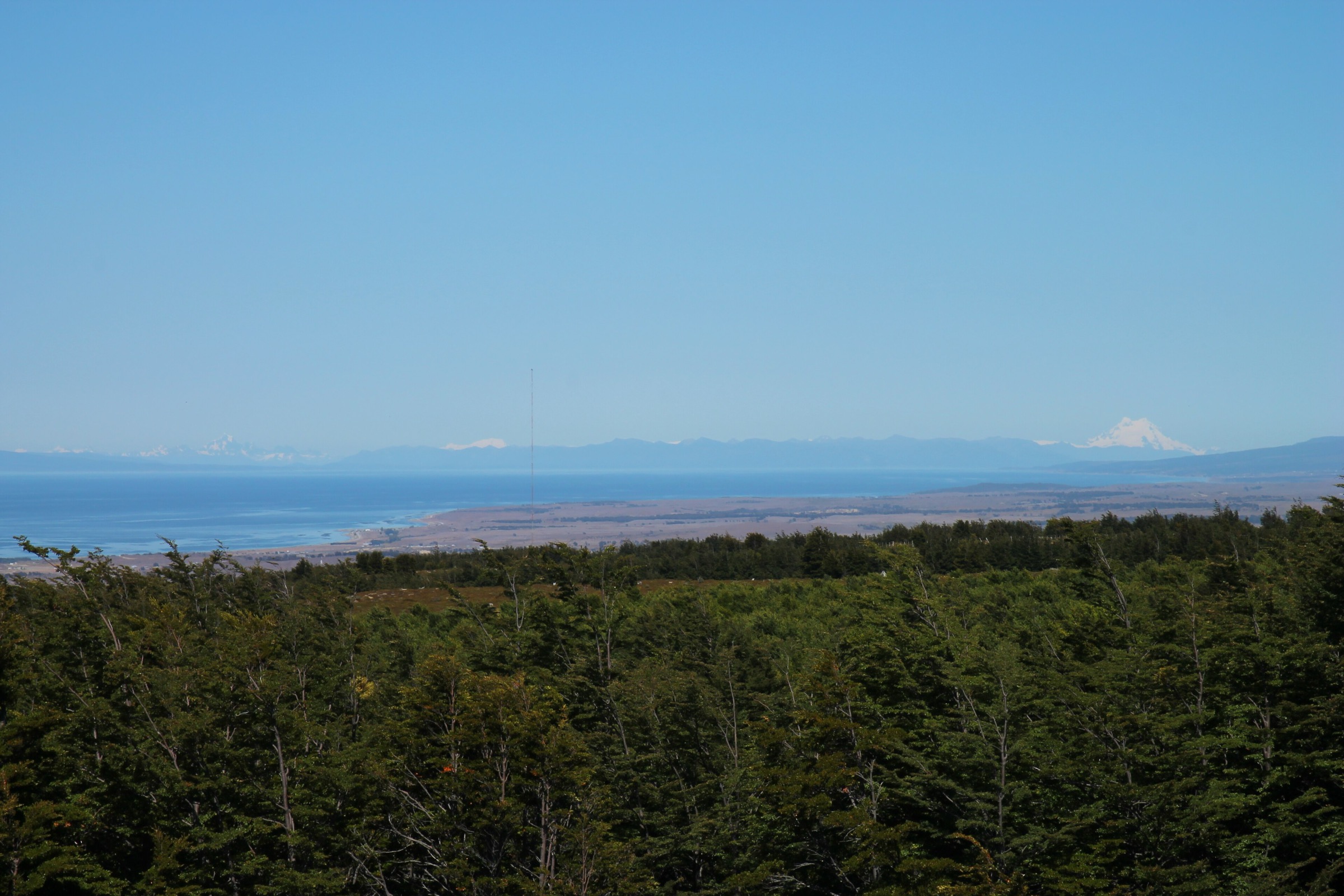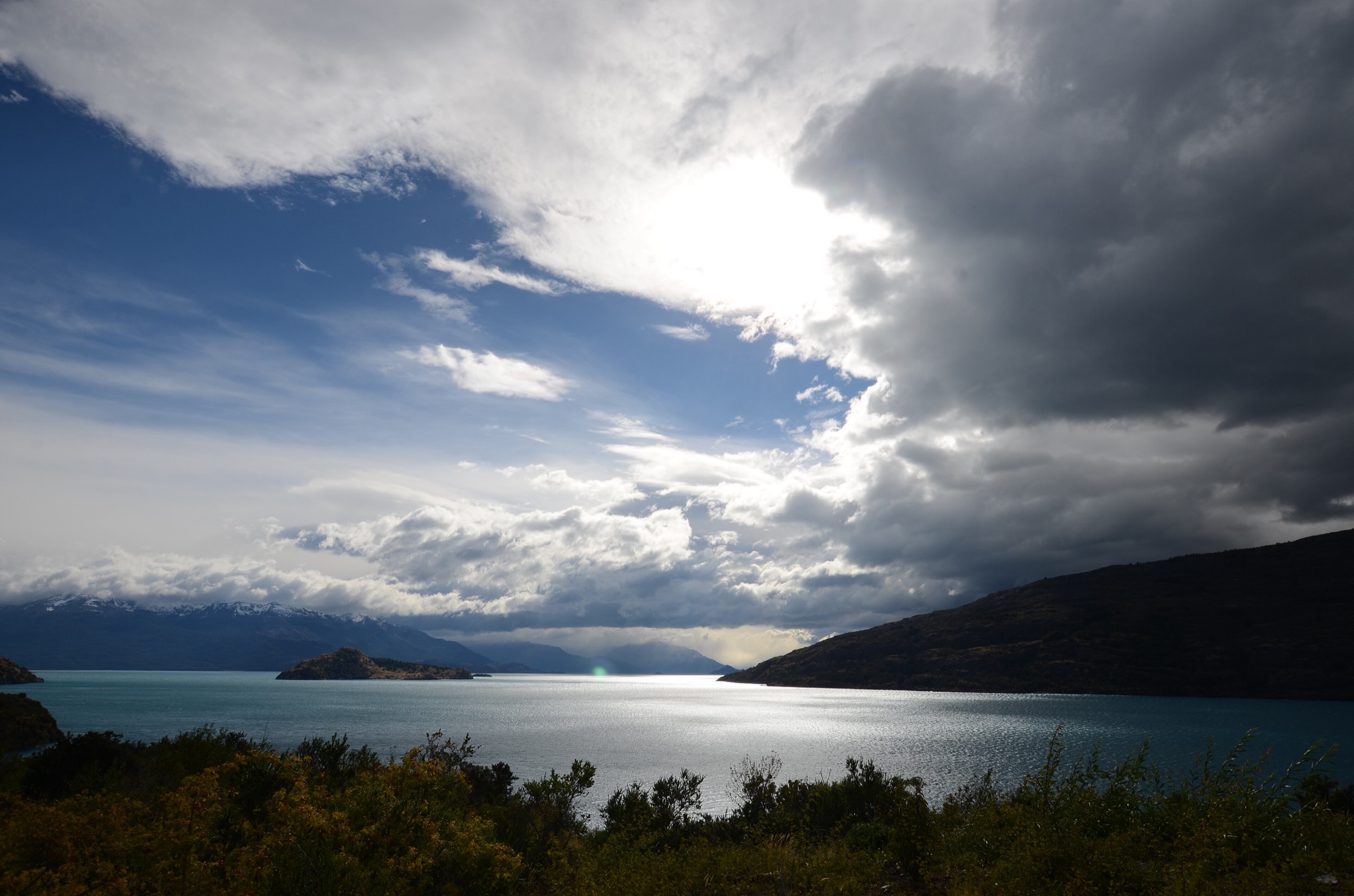
Regional overview
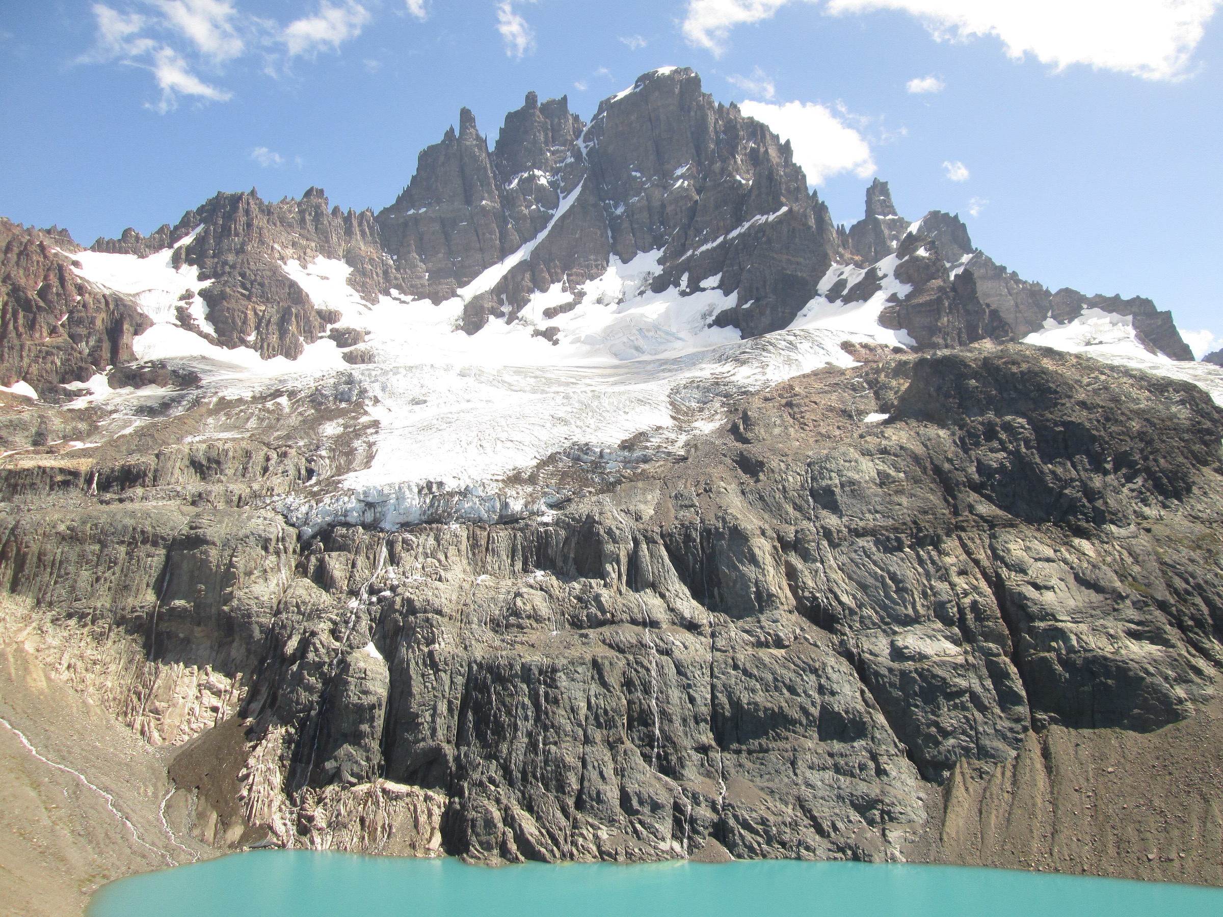
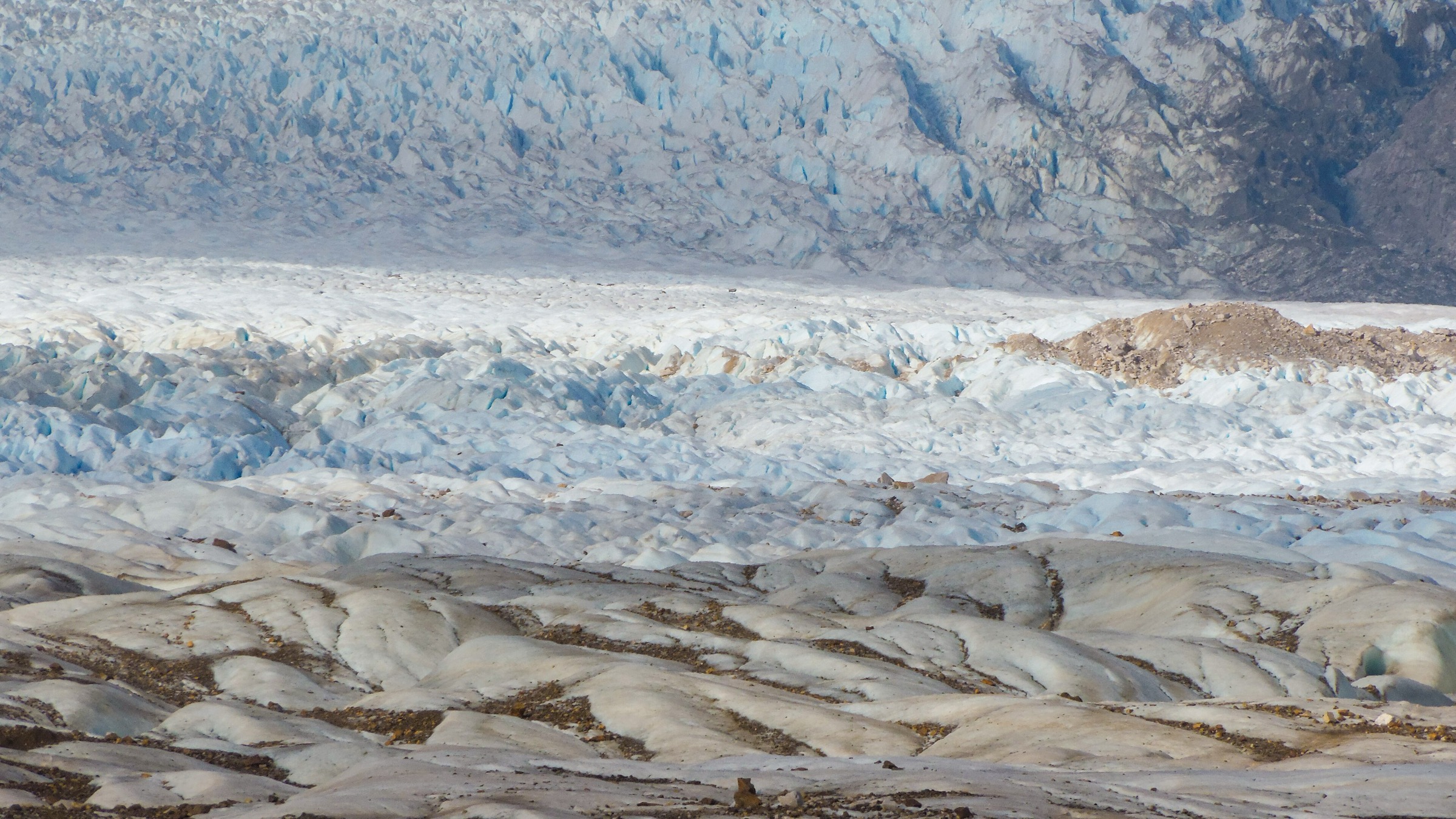
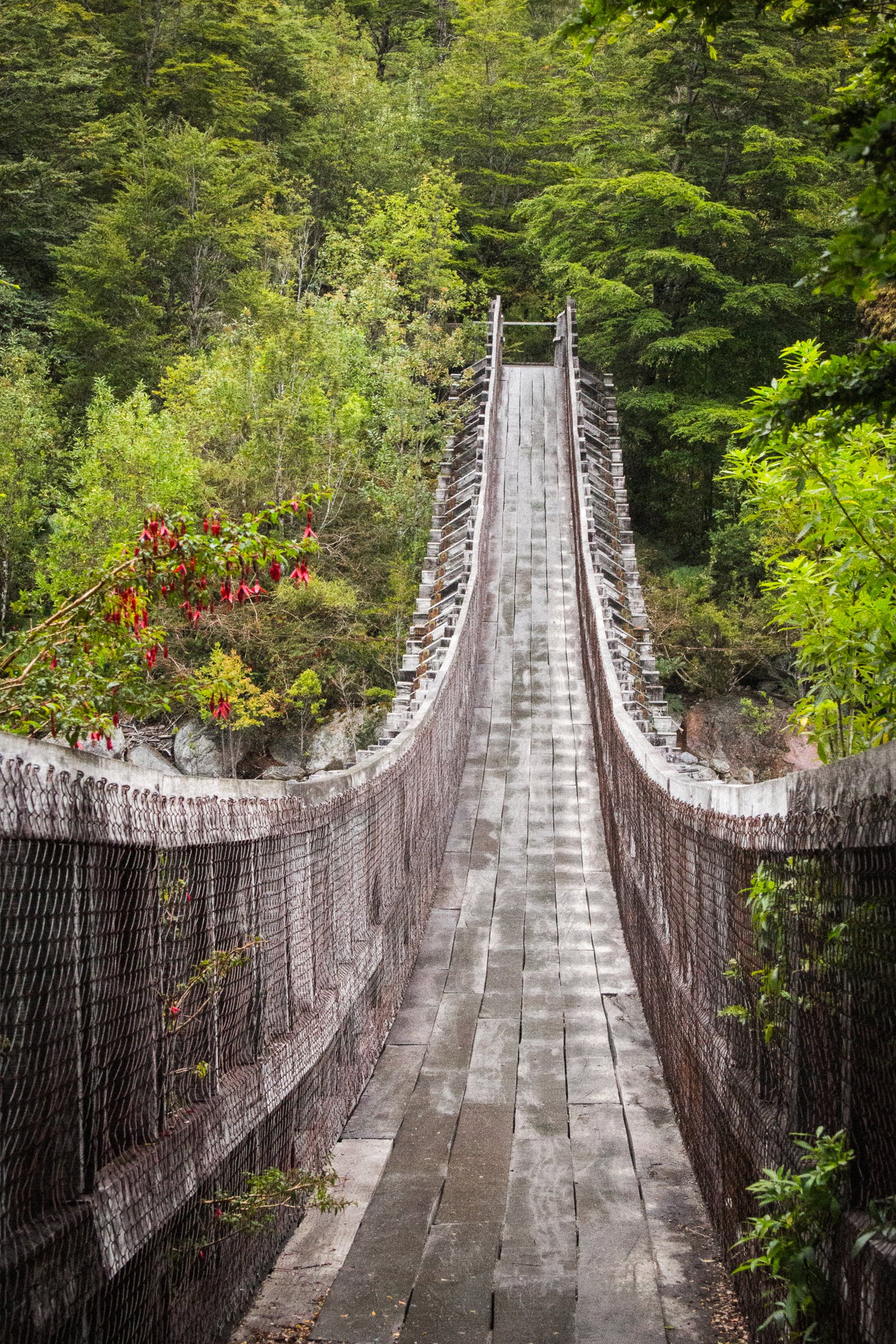
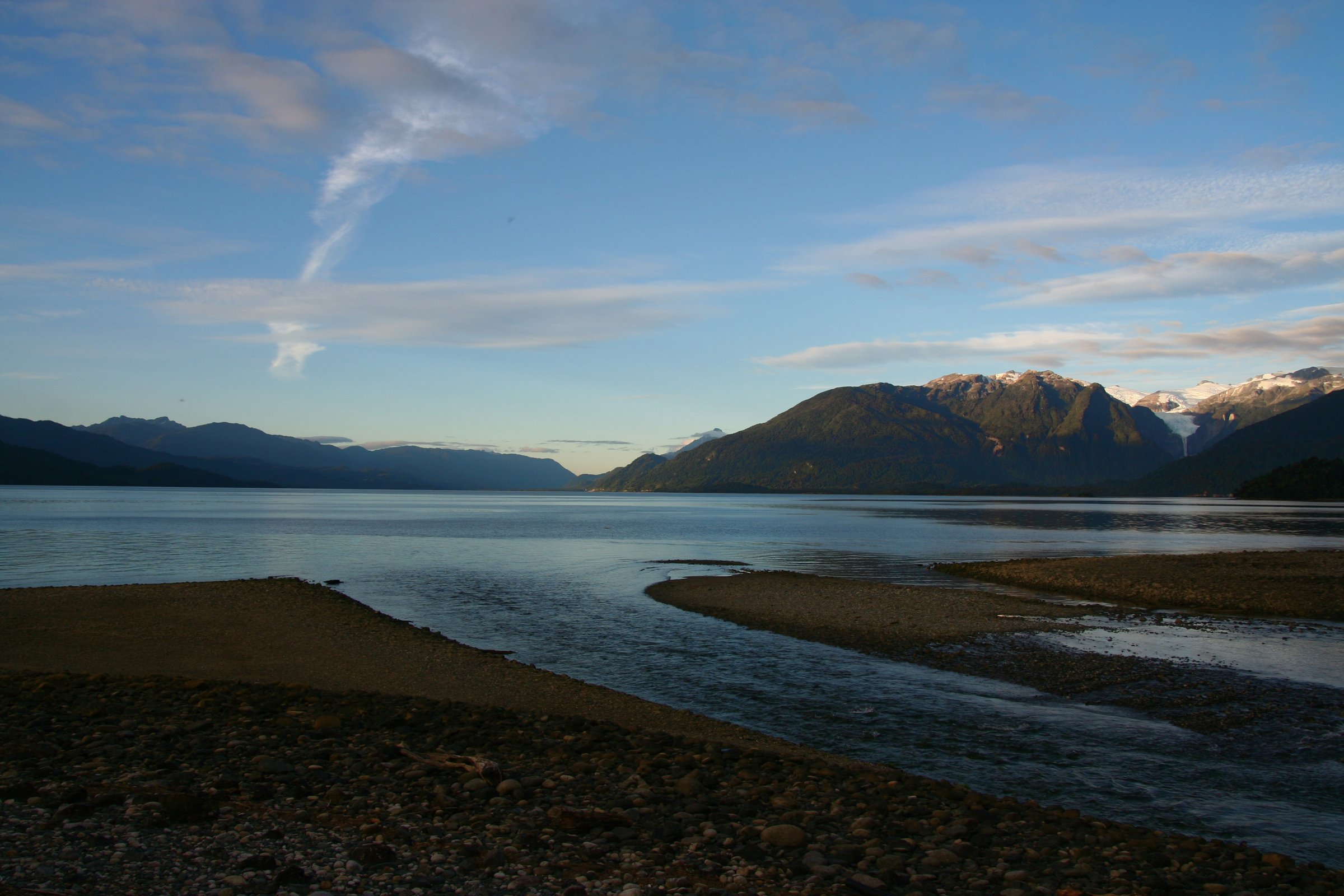
Queulat and Puyuhuapi form one of the wettest and most heavily forested walking areas on the Carretera Austral. The landscape is defined by the Ventisquero Colgante hanging glacier, cold rainforest, steep fjord-side mountains, waterfalls, river crossings, and short but memorable access trails through dense vegetation.
The main base is Puerto Puyuhuapi, with Ruta 7 crossing much of Parque Nacional Queulat. CONAF lists the park as 154,093 ha and notes that Puyuhuapi is the nearest community. Hiking here is less about long summit days and more about short-to-moderate forest routes to glacier viewpoints, lagoons, cascades, and raised miradors.
Current access notes matter. The CONAF page checked for this pass states that the Ventisquero Colgante camping zone is closed from 17 April 2026 until further notice, and that Sendero La Morrena reopened to the public from 2 June 2026. Sendero Laguna Los Pumas closes from June to September. Heavy rain, swollen streams, snow, ice, and wind can temporarily close trails.
Selection rationale
The five selected hikes cover the essential Queulat visitor experience: the hanging-glacier viewpoint, a longer lake route, the classic Bosque Encantado / Laguna Los Gnomos route, the accessible Laguna Témpanos and glacier-sector viewpoints, and a shorter Puyuhuapi-side forest/lake option. The set is deliberately conservative and uses official CONAF trail listings wherever available.
Summary table
| # | Hike | Country | Route type | Distance | Gain | Max elevation | Difficulty |
|---|---|---|---|---|---|---|---|
| 1 | Sendero Morrena / Mirador Ventisquero Colgante | Chile | Out-and-back | 3.2 km official; 6.0 km AllTrails variant | 298 m on AllTrails | Easy-moderate | |
| 2 | Sendero Laguna Los Pumas | Chile | Out-and-back | 5.2 km official; 10.5 km AllTrails out-and-back | 946 m on AllTrails | Moderate-hard | |
| 3 | Bosque Encantado / Laguna Los Gnomos | Chile | Out-and-back | 4.5 km | 396 m | Moderate | |
| 4 | Laguna Témpanos, Mirador Panorámico and Huellas de Glaciación | Chile | Short linked walks | 0.6 km + 0.25 km + 0.04 km official segments | 24 m on AllTrails Laguna Témpanos route | Easy | |
| 5 | Sendero Laguna Los Quetros / Puyuhuapi forest route | Chile | Out-and-back | 2.3 km | Easy |
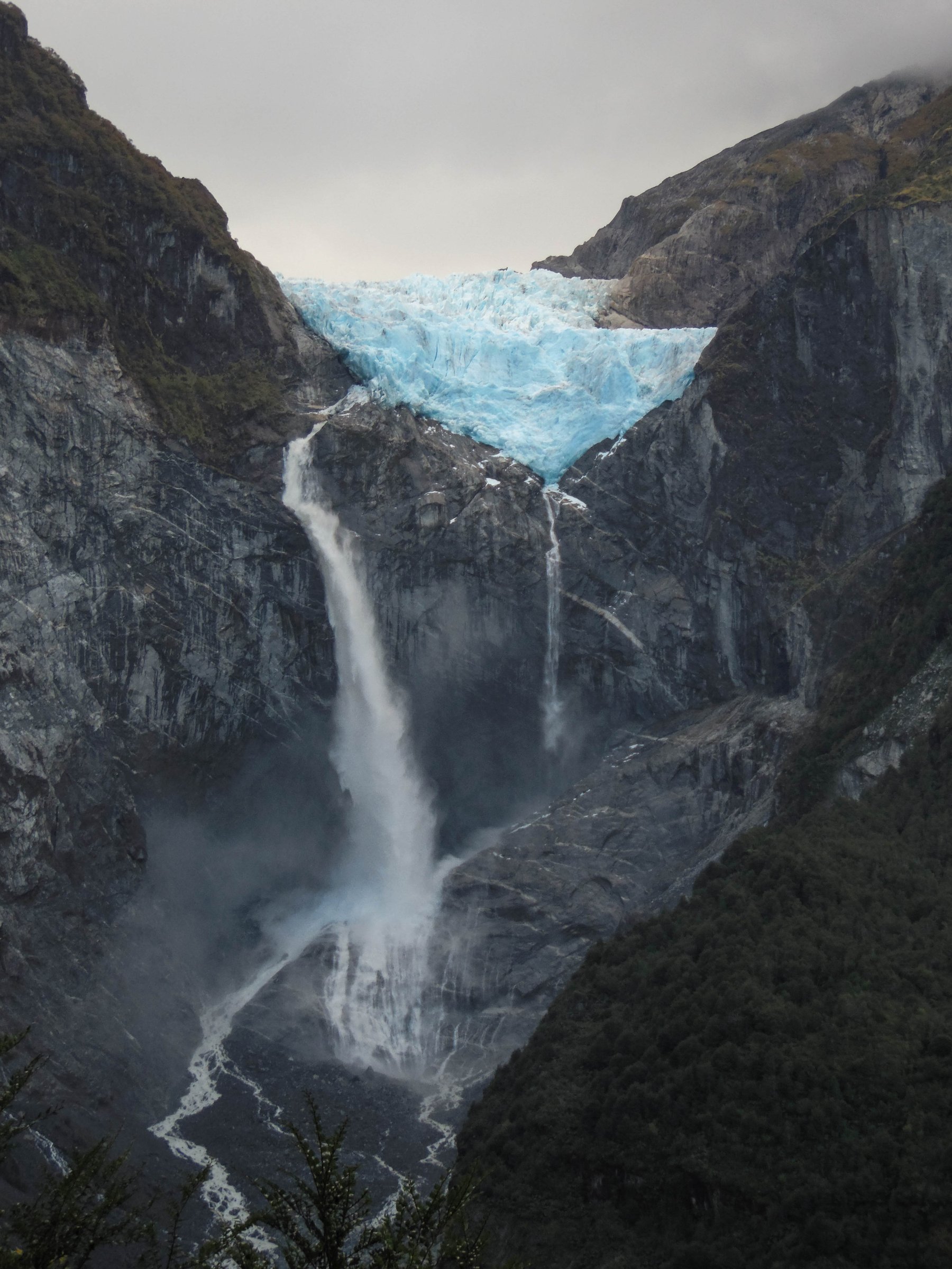
1. Sendero Morrena / Mirador Ventisquero Colgante
Snapshot
Itinerary
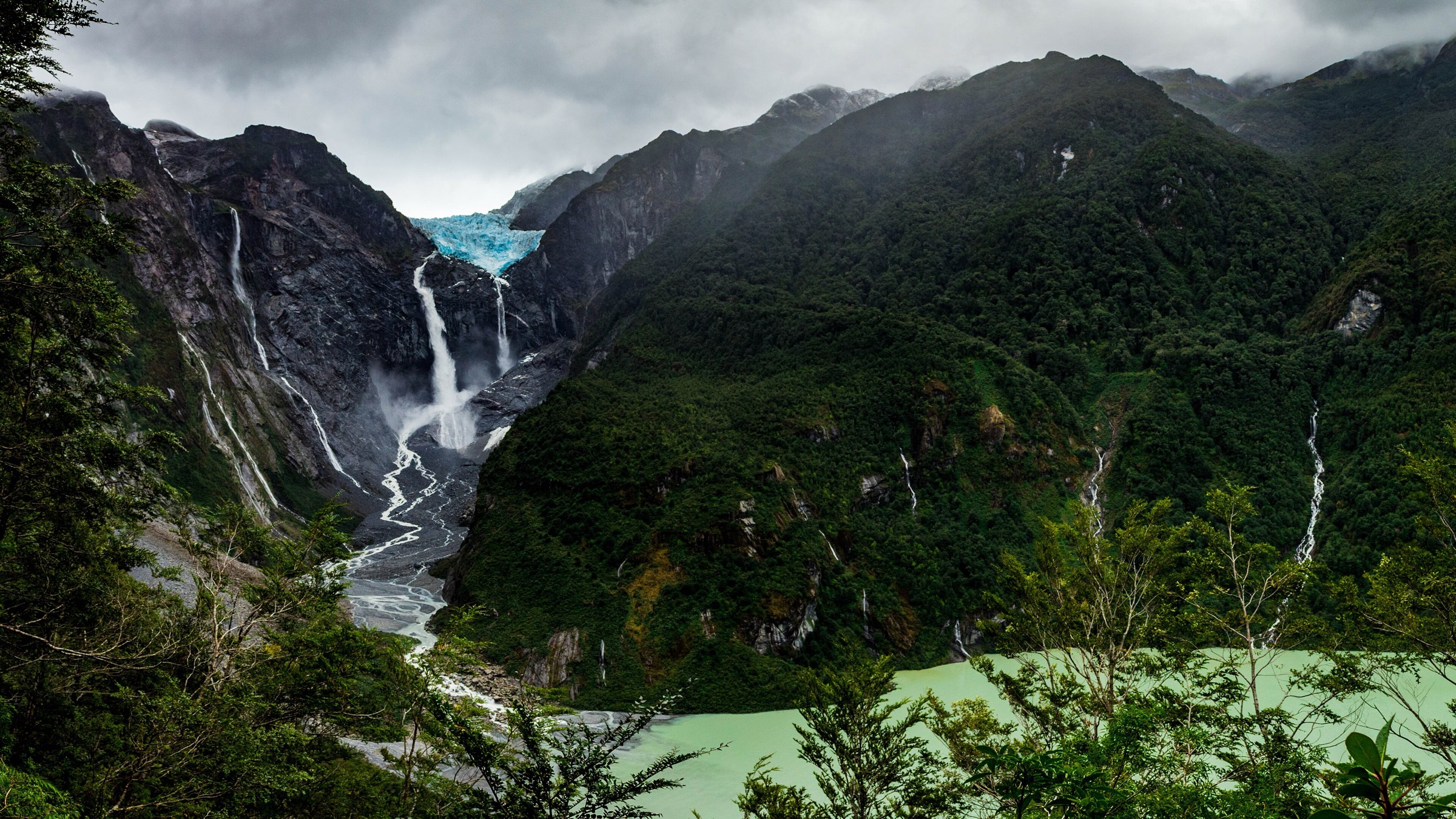
The route starts in the Ventisquero Colgante sector and climbs through wet forest to a viewpoint over the hanging glacier and its waterfall. The public route crosses or approaches the Río Ventisquero bridge area before reaching the moraine/mirador line used for the classic glacier view.
Why it is essential
The hanging glacier is Queulat’s defining feature, and this is the principal walking route to see it from land.
Equipment
- Standard hiking equipment with waterproof footwear, rain shell, warm layer, food, water, and sun/rain protection.
- Trekking poles are useful on wet steps and muddy sections.
Hazards and notes
The checked CONAF page states that Sendero La Morrena reopened to the public from 2 June 2026. It also states that the Ventisquero Colgante camping zone is closed from 17 April 2026 until further notice. Rain, mud, swollen streams, and falling branches are common wet-forest concerns.
GPX / KML links
| Source | URL | Format / access | Reuse status |
|---|---|---|---|
| AllTrails: Hanging Glacier Lookout | alltrails.com | Source route / GPX via AllTrails account | AllTrails terms apply; stats checked; direct reuse unresolved |
| CONAF Parque Nacional Queulat | conaf.cl | Official trail listing | CONAF website terms not evaluated for route-file reuse; official current status and length checked; no GPX found |
External links
2. Sendero Laguna Los Pumas
Snapshot
Itinerary
The trail climbs from the Queulat forest toward Laguna Los Pumas, passing wet forest and stream terrain before reaching a higher lake setting. The official length appears to be one-way or otherwise shorter than the AllTrails out-and-back public route, so the distance should be normalised before publication.
Why it is essential
Laguna Los Pumas is the strongest longer day-hike option in the official Queulat trail list and gives a more strenuous counterpoint to the short glacier-sector walks.
Equipment
- Mountain hiking equipment: waterproof boots, rain shell, warm layer, food, water, navigation backup, and headtorch.
- Trekking poles are recommended for wet ground and stream approaches.
Hazards and notes
CONAF lists creek/stream flooding as a sector risk and states that the trail closes from June to September. Wet weather can make crossings and mud significantly more difficult.
GPX / KML links
| Source | URL | Format / access | Reuse status |
|---|---|---|---|
| AllTrails: Sendero Laguna Los Pumas | alltrails.com | Source route / GPX via AllTrails account | AllTrails terms apply; stats checked; direct reuse unresolved |
| CONAF Parque Nacional Queulat | conaf.cl | Official trail listing | CONAF website terms not evaluated for route-file reuse; official length, time, closure window, and risks checked |
External links
3. Bosque Encantado / Laguna Los Gnomos
Snapshot
Itinerary
The route follows the classic Bosque Encantado line through mossy, dense temperate rainforest toward Laguna Los Gnomos below steep mountains and glacier-fed terrain. It is one of the best-known Queulat forest walks in public trail databases, but it was not present in the current CONAF enabled-trails list captured for this pass.
Why it is essential
Bosque Encantado represents the wet, moss-covered rainforest character that makes the Queulat / Puyuhuapi area distinct from drier Aysén hiking regions.
Equipment
- Waterproof hiking shoes or boots, rain shell, warm layer, water, food, and navigation.
- Trekking poles are helpful on mud, roots, and wet rock.
Hazards and notes
Current official access status was not resolved. Treat this as a candidate until CONAF or the concessionaire confirms whether the trail is open. Wet slabs, mud, stream levels, and falling branches are likely concerns after heavy rain.
GPX / KML links
| Source | URL | Format / access | Reuse status |
|---|---|---|---|
| AllTrails: Bosque Encantado — Laguna Los Gnomos | alltrails.com | Source route / GPX via AllTrails account | AllTrails terms apply; stats checked; direct reuse unresolved |
| CONAF Parque Nacional Queulat | conaf.cl | Official park page | CONAF website terms not evaluated for route-file reuse; trail not found in current enabled list; access unresolved |
External links
4. Laguna Témpanos, Mirador Panorámico and Huellas de Glaciación
Snapshot
Itinerary
These linked short walks explore the lower Ventisquero Colgante sector: the Laguna Témpanos shore/pier, a short panoramic viewpoint, and the accessible Huellas de Glaciación interpretive trail. Together they form the most accessible glacier-sector walking option in Queulat.
Why it is essential
Not every essential Queulat route is long. These walks are important because they make the hanging-glacier landscape and glacial landforms accessible to a wider range of visitors.
Equipment
- Standard hiking equipment, rain jacket, warm layer, and waterproof footwear.
- Camera/optics are useful; drones are prohibited without prior CONAF authorisation.
Hazards and notes
The checked CONAF page states that the Ventisquero Colgante camping zone is closed from 17 April 2026 until further notice. The linked walk is low difficulty but still subject to heavy rain, slippery surfaces, and temporary closures.
GPX / KML links
| Source | URL | Format / access | Reuse status |
|---|---|---|---|
| AllTrails: Laguna Témpanos Lookout and Pier | alltrails.com | Source route / GPX via AllTrails account | AllTrails terms apply; Laguna Témpanos stats checked; direct reuse unresolved |
| CONAF Parque Nacional Queulat | conaf.cl | Official trail listing | CONAF website terms not evaluated for route-file reuse; official segment lengths and times checked |
External links
5. Sendero Laguna Los Quetros / Puyuhuapi forest route
Snapshot
Itinerary
The trail gives a short forest-and-lagoon outing in the Queulat / Puyuhuapi area, complementing the busier Ventisquero Colgante sector. It is a lower-commitment walk through the wet forest and lake-edge environment typical of the park.
Why it is essential
Laguna Los Quetros helps balance the catalogue away from the single famous glacier viewpoint and toward the wider Puyuhuapi rainforest-and-lagoon character.
Equipment
- Standard hiking equipment with waterproof shoes, rain shell, warm layer, water, and basic navigation.
- In wet months, expect mud and rising streams.
Hazards and notes
CONAF lists stream rises from August to October. As with all Queulat trails, heavy rain, wind, snow, or ice can trigger temporary closures. No dedicated route-file source was found in this pass.
GPX / KML links
| Source | URL | Format / access | Reuse status |
|---|---|---|---|
| CONAF Parque Nacional Queulat | conaf.cl | Official trail listing | CONAF website terms not evaluated for route-file reuse; official stats checked; no GPX/KML found |
External links
External links
| Source | URL |
|---|---|
| CONAF — Parque Nacional Queulat | conaf.cl |
| AllTrails — Hanging Glacier Lookout | alltrails.com |
| AllTrails — Sendero Laguna Los Pumas | alltrails.com |
| AllTrails — Bosque Encantado / Laguna Los Gnomos | alltrails.com |
| AllTrails — Laguna Témpanos Lookout and Pier | alltrails.com |