Regional overview
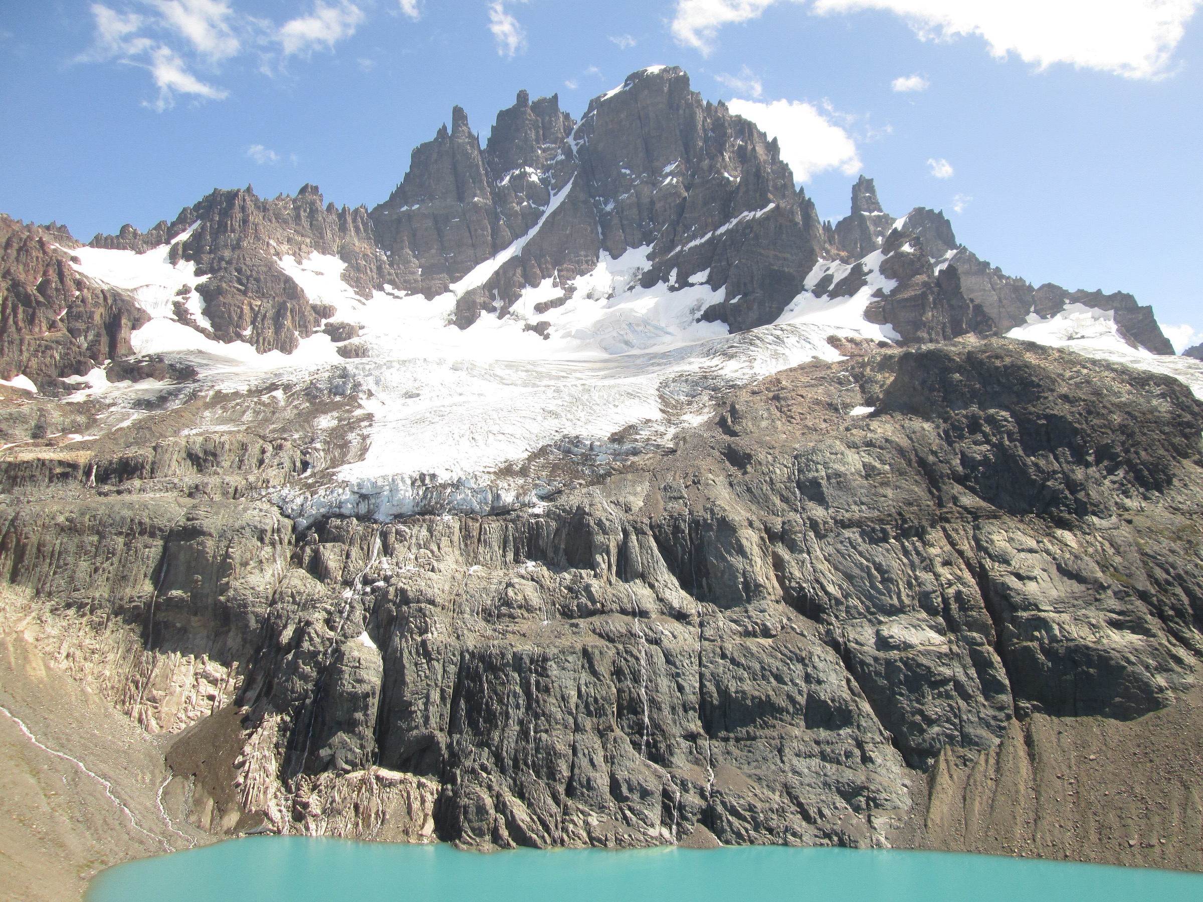
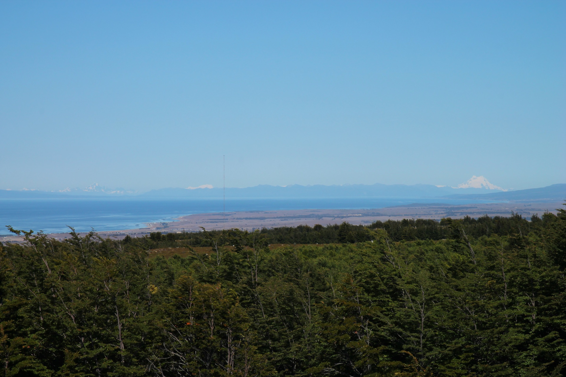
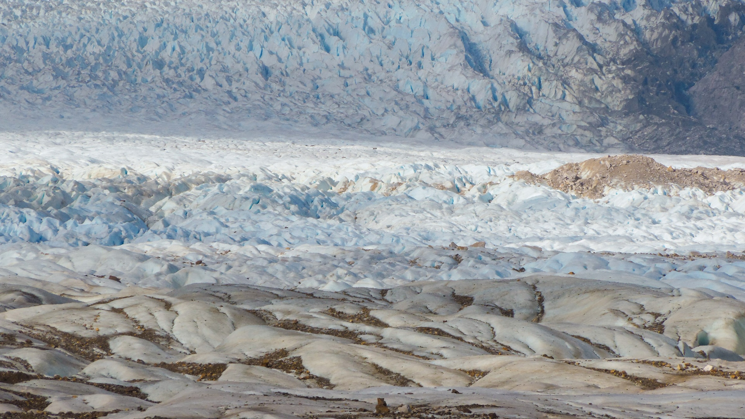
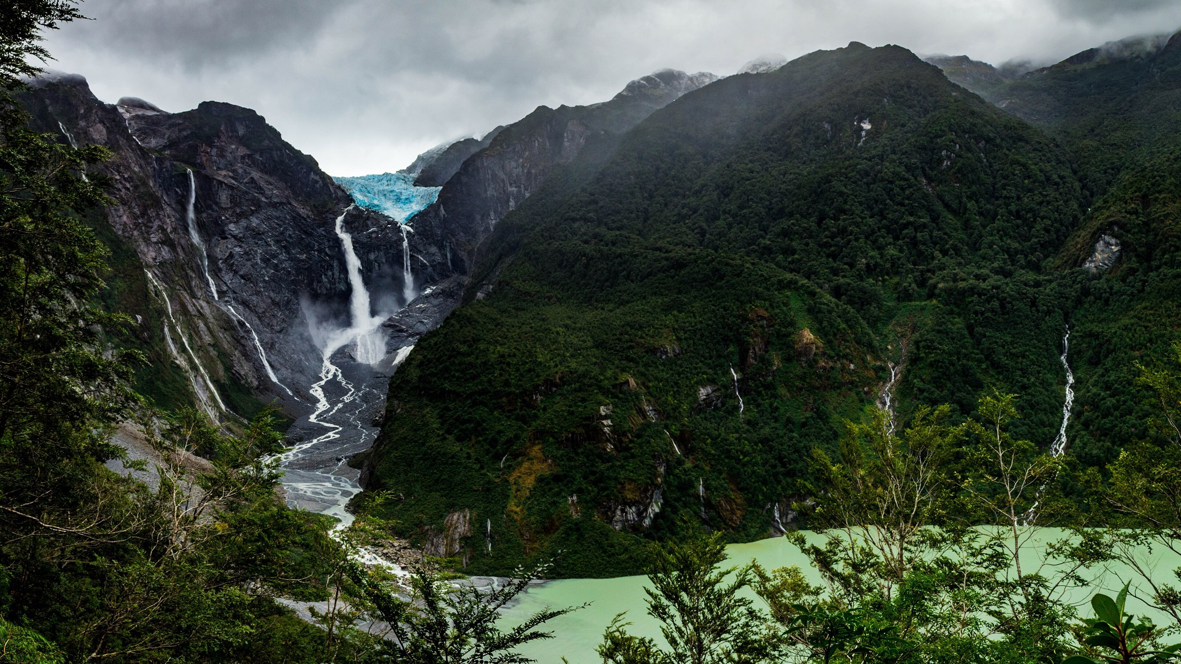
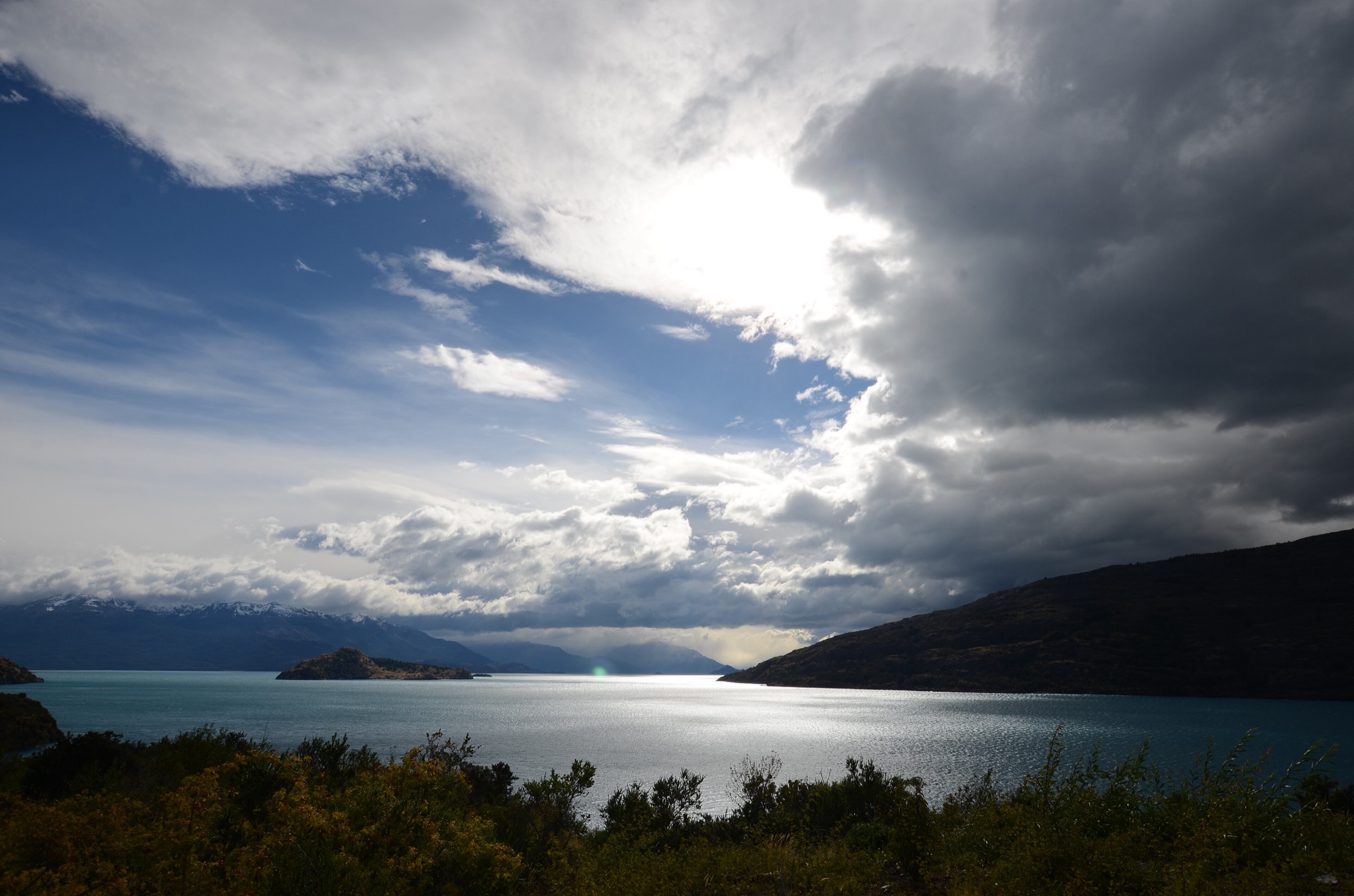
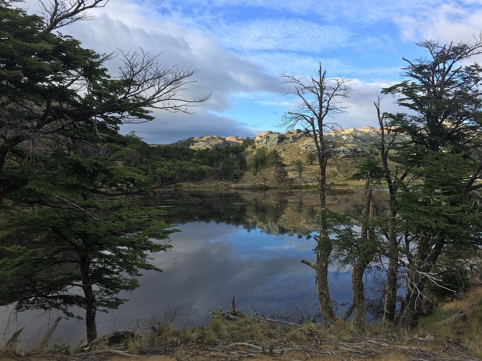
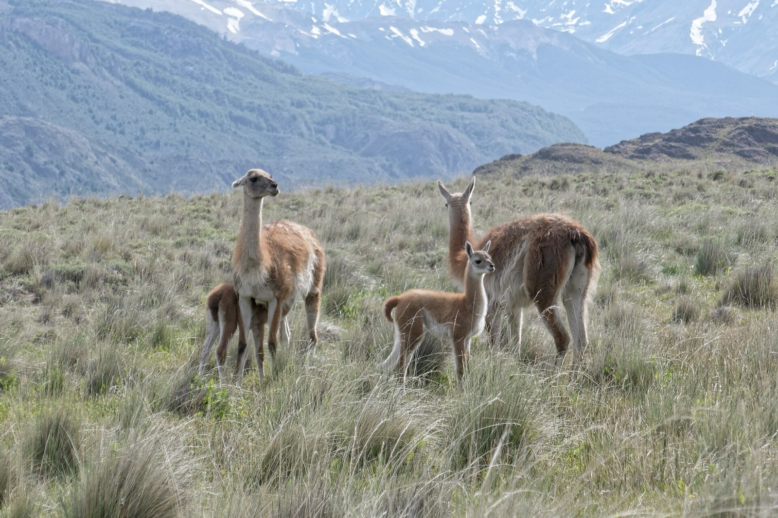
The General Carrera / Patagonia Park region spans the steppe-and-lake landscapes around Lago General Carrera, Chile Chico, Jeinimeni, Valle Chacabuco, Cochrane, and Tamango. It combines open guanaco steppe, turquoise rivers, volcanic rock formations, Tehuelche archaeological sites, lenga forest, Lago Cochrane, and views toward Monte San Lorenzo and the Northern/Southern Patagonian ice fields.
Parque Nacional Patagonia was formally created in 2018 and incorporates the former Lago Jeinimeni and Lago Cochrane/Tamango reserves plus the donated Valle Chacabuco sector. The main hiking bases are Chile Chico for Jeinimeni, Cochrane for Tamango, and the Valle Chacabuco/Exploradores Lodge/administration corridor for the central park trails.
The walking character is generally open and wind-exposed rather than glaciated, but distances can be long and services sparse. Pumas, guanacos, huemul habitat, feral dogs, rapid weather changes, snow, and road logistics are recurring issues. CONAF prohibits pets/exotic animals, off-trail travel, fires, drones without authorisation, and disturbance of fauna.
Current closures are important. The checked CONAF page states that Jeinimeni and the Cueva de las Manos circuit are closed to the general public from 11 May to 14 September 2026 or until climate conditions allow reopening; Valle Chacabuco trails and Tamango-Chacabuco connections close from 26 May to 30 August 2026 or until conditions allow; Tamango sector trails including Los Pumas, Las Lengas, Los Valles, Cóndores, and the Chacabuco connection also close from 26 May to 30 August 2026 or until conditions allow.
Selection rationale
The selection balances the three main sectors: Valle Chacabuco’s classic high lakes and valley routes, the Lago Cochrane/Tamango forest-and-viewpoint trails, and the Jeinimeni cultural/geological circuit. It favours routes with official CONAF or Ruta de los Parques statistics and downloadable KML/KMZ source files.
Summary table
| # | Hike | Route type | Distance | Elevation gain | Difficulty |
|---|---|---|---|---|---|
| 1 | Lagunas Altas Loop, Valle Chacabuco | Loop | 20.8–23.0 km | 955 m | Hard |
| 2 | Avilés Loop, Valle Chacabuco | Loop | 16.0–16.4 km | 628 m | Hard |
| 3 | Lago Chico Circuit | Loop | 12.0–13.8 km | 480 m | Moderate |
| 4 | Piedra Clavada, Cueva de las Manos and Valle Lunar, Jeinimeni | Loop | 7.2–10.0 km | 487 m | Moderate–hard |
| 5 | Tamango: Las Águilas / Los Carpinteros — Lago Cochrane viewpoints | Out-and-back / linked | 3.2–9.8 km | 323–411 m | Moderate–hard |
1. Lagunas Altas Loop, Valle Chacabuco
Snapshot
Itinerary
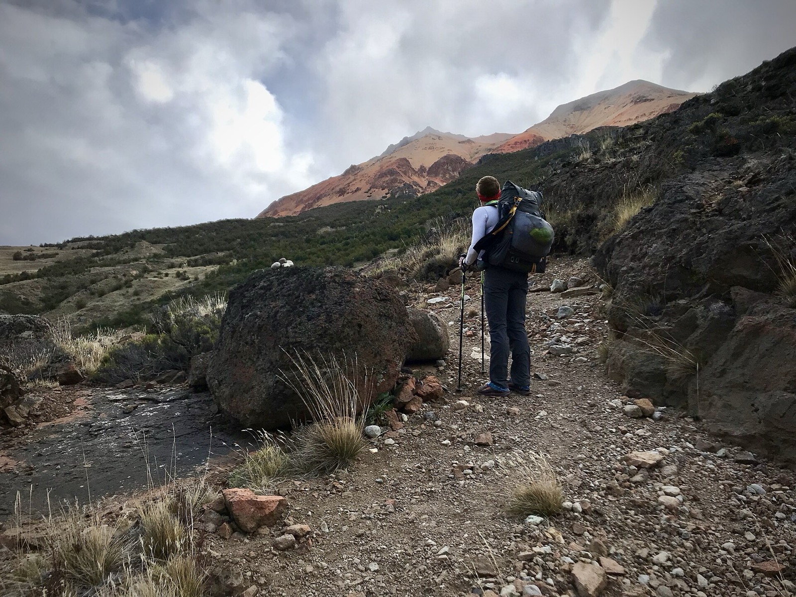
The loop starts near the Valle Chacabuco administration area, climbs above the valley into a chain of high lagoons, and traverses open steppe and hill terrain with broad views over the Chacabuco basin. Ruta de los Parques describes the route as crossing pampa after skirting a lagoon, with views toward the Southern Patagonian Ice Field.
Why it is essential
Lagunas Altas is the flagship full-day hike of Valle Chacabuco and gives the strongest single-day overview of Patagonia Park’s steppe, lakes, wildlife habitat, and big-sky mountain setting.
Equipment
- Mountain hiking equipment: sturdy boots, windproof/waterproof shell, warm layer, sun protection, food, water, map/GPS, and headtorch
- Trekking poles are useful on the long loop and exposed descents
Hazards and notes
- CONAF flags possible encounters with pumas and feral dogs
- The trail closes in winter: CONAF’s checked page states Valle Chacabuco-sector closures from 26 May to 30 August 2026 or until climate conditions allow reopening
- Carry enough water; the open steppe is exposed to wind, sun, and sudden cold
GPX / KML links
| Source | URL | Format | Notes |
|---|---|---|---|
| Ruta de los Parques: Sendero Lagunas Altas | rutadelosparques.org | KMZ | Ruta de los Parques terms not fully evaluated; direct reuse unresolved |
| AllTrails: Lagunas Altas Loop Trail | alltrails.com | Route page / app map | AllTrails terms apply; statistics used |
| OpenStreetMap search: Lagunas Altas Valle Chacabuco | openstreetmap.org | Map/search | OSM data is ODbL; geometry cross-check only |
External links
- CONAF — Parque Nacional Patagonia
- Ruta de los Parques — Parque Nacional Patagonia
- AllTrails — Lagunas Altas Loop Trail
2. Avilés Loop, Valle Chacabuco
Snapshot
Itinerary
The route enters Valle Avilés from Camping Casa de Piedra, follows the river valley, crosses the Avilés suspension bridge, and returns along the opposite side. It samples the transition between Chacabuco steppe, river corridor, and the longer Jeinimeni-Avilés traverse system.
Why it is essential
Avilés is the classic river-valley hike of the Chacabuco sector and a key day alternative to the higher Lagunas Altas loop.
Equipment
- Mountain hiking equipment, wind/rain shell, warm layers, food, water, map/GPS, and headtorch
- Trekking poles are recommended for river-valley terrain
Hazards and notes
- CONAF identifies low-probability puma encounters in the broader Avilés context
- Check bridge condition, river levels, and winter closures
- The official CONAF listing appears to mix the Avilés trail with multi-day valley-traverse context; Ruta de los Parques and AllTrails are used for the day-loop geometry
GPX / KML links
| Source | URL | Format | Notes |
|---|---|---|---|
| Ruta de los Parques: Avilés | rutadelosparques.org | KML | Ruta de los Parques terms not fully evaluated; direct reuse unresolved |
| AllTrails: Avilés Loop Trail | alltrails.com | Route page / app map | AllTrails terms apply; statistics used |
| OpenStreetMap search: Sendero Avilés Valle Chacabuco | openstreetmap.org | Map/search | OSM data is ODbL; geometry cross-check only |
External links
- CONAF — Parque Nacional Patagonia
- Ruta de los Parques — Parque Nacional Patagonia
- AllTrails — Avilés Loop Trail
3. Lago Chico Circuit
Snapshot
Itinerary
From Camping Alto Valle, an approach road leads to the Lago Chico trail start. The loop gives views over Lago Cochrane and Monte San Lorenzo, then circles through open parkland and forest-steppe terrain before returning to the start.
Why it is essential
Lago Chico is the best compact Lago Cochrane viewpoint hike in the Chacabuco/Alto Valle side of the park and balances the longer Lagunas Altas and Avilés routes.
Equipment
- Standard to mountain hiking equipment: boots, windproof/waterproof shell, warm layer, food, water, sun protection, and navigation
- Carry extra water in dry and windy weather
Hazards and notes
- CONAF lists potential encounters with pumas and feral dogs
- The route is exposed to wind and weather
- The trail start may require a 7 km access road from Camping Alto Valle according to Ruta de los Parques; verify road condition before driving
GPX / KML links
| Source | URL | Format | Notes |
|---|---|---|---|
| Ruta de los Parques: Lago Chico | rutadelosparques.org | KML | Ruta de los Parques terms not fully evaluated; direct reuse unresolved |
| AllTrails: Lago Chico Circuit | alltrails.com | Route page / app map | AllTrails terms apply; statistics used |
| OpenStreetMap search: Lago Chico Parque Patagonia | openstreetmap.org | Map/search | OSM data is ODbL; geometry cross-check only |
External links
- CONAF — Parque Nacional Patagonia
- Ruta de los Parques — Parque Nacional Patagonia
- AllTrails — Lago Chico Circuit
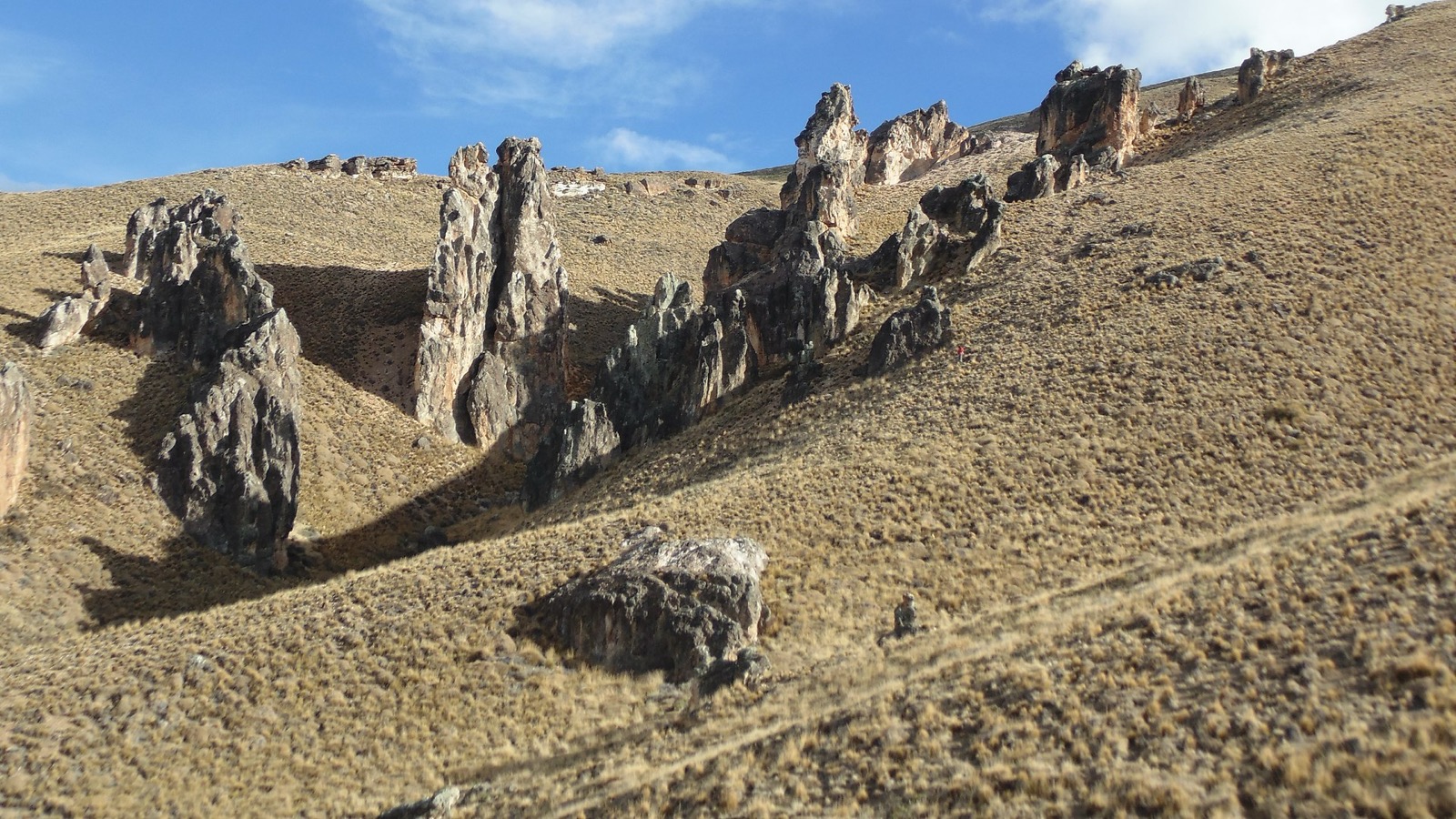
4. Piedra Clavada, Cueva de las Manos and Valle Lunar, Jeinimeni
Snapshot
Itinerary
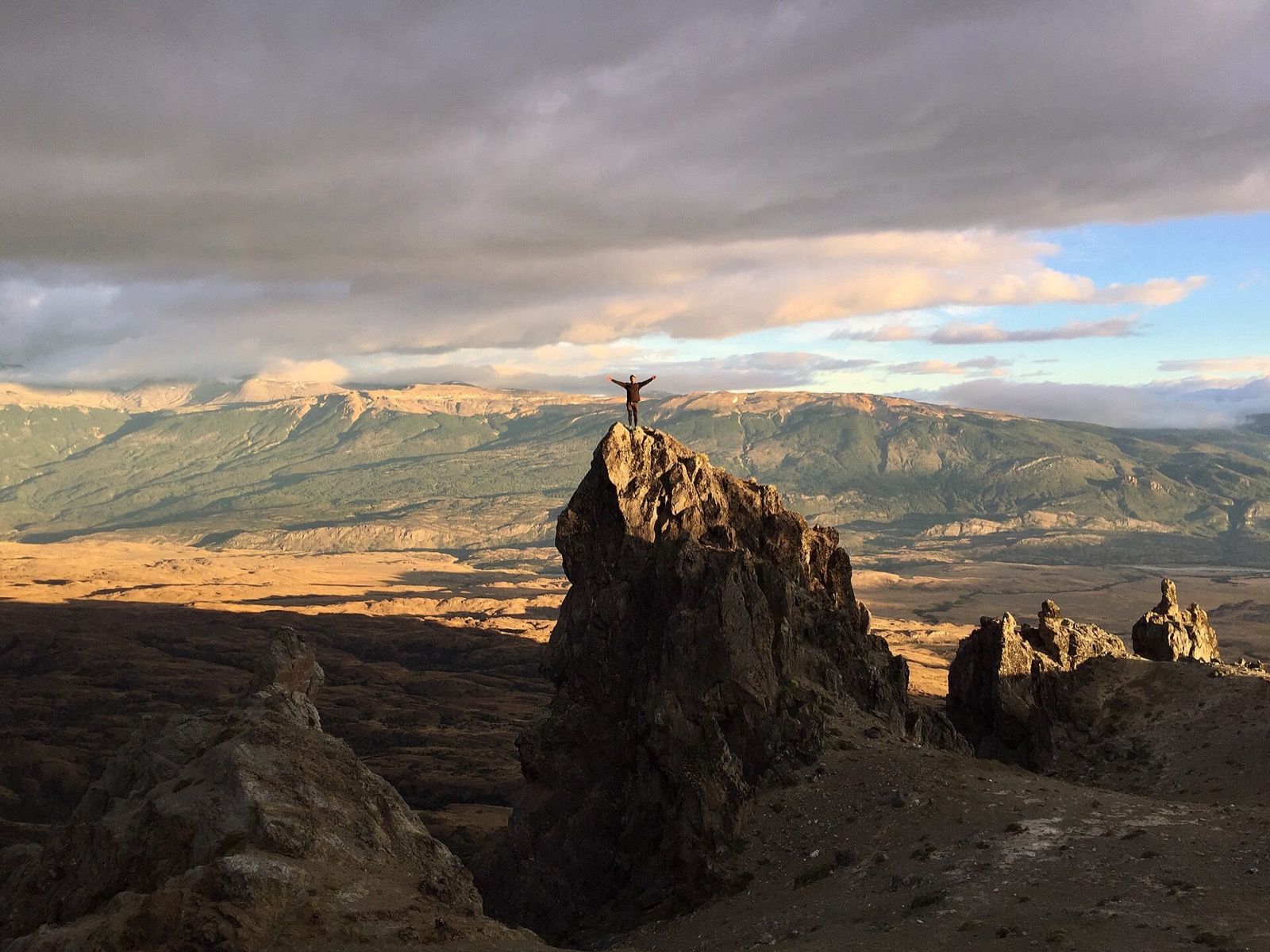
The loop visits the volcanic rock spire of Piedra Clavada, an overhang/cave area with Tehuelche traces at Cueva de las Manos, and the eroded formations of Valle Lunar. The route is one of the most geologically and culturally distinctive walks in the General Carrera area.
Why it is essential
This is the key Jeinimeni day hike: a rare combination of volcanic geomorphology, archaeological context, and Patagonian steppe scenery.
Equipment
- Standard hiking equipment with windproof layer, warm layer, sun protection, water, food, and navigation
- Trekking poles may help on loose or eroded slopes
Hazards and notes
- CONAF’s checked page states that Lago Jeinimeni and the Cueva de las Manos circuit close to the general public from 11 May to 14 September 2026 or until climate conditions allow reopening
- Avoid touching or damaging archaeological features
- Wind, sun exposure, and loose volcanic material are key concerns
GPX / KML links
| Source | URL | Format | Notes |
|---|---|---|---|
| Ruta de los Parques: Cueva de las Manos / Piedra Enclavada / Valle Lunar | rutadelosparques.org | KML | Ruta de los Parques terms not fully evaluated; direct reuse unresolved |
| AllTrails: Nailed Stone / Piedra Clavada | alltrails.com | Route page / app map | AllTrails terms apply; statistics used |
| OpenStreetMap search: Piedra Clavada Jeinimeni | openstreetmap.org | Map/search | OSM data is ODbL; geometry cross-check only |
External links
- CONAF — Parque Nacional Patagonia
- Ruta de los Parques — Parque Nacional Patagonia
- AllTrails — Piedra Clavada
5. Tamango: Las Águilas / Los Carpinteros — Lago Cochrane viewpoints
Snapshot
Itinerary
The Tamango sector routes start from the Cochrane side of Parque Nacional Patagonia and climb or traverse above Lago Cochrane through forest, viewpoints, and huemul habitat. Las Águilas is a shorter viewpoint objective; Los Carpinteros and linked trails give a longer forest-and-lake outing.
Why it is essential
Tamango is the historic Lago Cochrane sector of the national park and the best day-hiking representation of the Cochrane side: forest, lake views, and wildlife habitat rather than open Chacabuco steppe.
Equipment
- Standard to mountain hiking equipment: boots, wind/rain layer, warm layer, water, food, sun protection, and navigation
- Carry extra layers for wind off Lago Cochrane
Hazards and notes
- CONAF flags feral-dog risk in Tamango and lists 2026 Tamango closures from 26 May to 30 August or until conditions allow reopening
- Huemul habitat should be treated with low-impact behaviour: keep distance, stay on trails, and do not use drones without authorisation
GPX / KML links
| Source | URL | Format | Notes |
|---|---|---|---|
| Ruta de los Parques: Tamango linked trails (Huemules / Ñirres / Águila / Carpinteros) | rutadelosparques.org | KML | Ruta de los Parques terms not fully evaluated; direct reuse unresolved |
| AllTrails: Las Águilas | alltrails.com | Route page / app map | AllTrails terms apply; statistics used |
| AllTrails: Los Carpinteros Trail 2 | alltrails.com | Route page / app map | AllTrails terms apply; statistics used |
| OpenStreetMap search: Tamango Cochrane | openstreetmap.org | Map/search | OSM data is ODbL; geometry cross-check only |
External links
- CONAF — Parque Nacional Patagonia
- Ruta de los Parques — Parque Nacional Patagonia
- AllTrails — Las Águilas
- AllTrails — Los Carpinteros Trail 2
External links
| Source | URL |
|---|---|
| CONAF — Parque Nacional Patagonia | conaf.cl |
| Ruta de los Parques — Parque Nacional Patagonia | rutadelosparques.org |
| Ruta de los Parques — Sendero Lagunas Altas (KMZ) | rutadelosparques.org |
| Ruta de los Parques — Avilés (KML) | rutadelosparques.org |
| Ruta de los Parques — Lago Chico (KML) | rutadelosparques.org |
| Ruta de los Parques — Cueva de las Manos / Piedra Enclavada / Valle Lunar (KML) | rutadelosparques.org |
| Ruta de los Parques — Tamango linked trails (KML) | rutadelosparques.org |
| AllTrails — Lagunas Altas Loop Trail | alltrails.com |
| AllTrails — Avilés Loop Trail | alltrails.com |
| AllTrails — Lago Chico Circuit | alltrails.com |
| AllTrails — Piedra Clavada | alltrails.com |
| AllTrails — Las Águilas | alltrails.com |
| AllTrails — Los Carpinteros Trail 2 | alltrails.com |