Regional overview
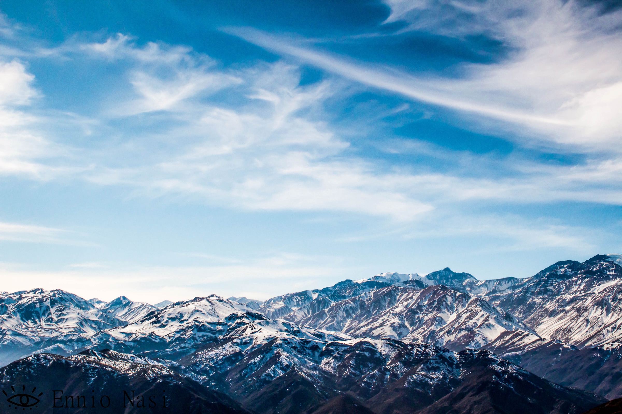
The Santiago foothills are the dry, steep precordillera immediately above the city: the Manquehue ridge in the north, the Sierra de Ramon front above Las Condes/La Reina/Penalolen, and the managed Parque Cordillera access points around Aguas de Ramon, San Carlos de Apoquindo and Puente Nilhue. The walking character is Mediterranean-Andean rather than alpine: hot, exposed slopes, sclerophyll forest in ravines, big city-and-Andes views, waterfalls after winter/spring flow, and long, waterless climbs to high viewpoints.
The main practical issues are heat, dehydration, wildfire restrictions, winter snow/ice on higher objectives, and controlled park opening times. Parque Cordillera currently publishes live park status and several official route descriptions/KMZ files; those should be checked before publication because closures are common.
Selection rationale
The five hikes represent the core Santiago foothill experiences: the city’s iconic urban summit, the main waterfall route of Aguas de Ramon, the classic Alto del Naranjo balcony, the big Cerro Provincia summit, and the free-access Quebrada de Macul canyon/waterfall landscape. Cerro San Ramon is deliberately not selected because its normal day ascent is longer and gains far more height than the usual catalogue limit.
Summary table
| # | Hike | Country | Route type | Distance | Gain | Max elevation | Difficulty |
|---|---|---|---|---|---|---|---|
| 1 | Cerro Manquehue via Santa Maria | Chile | Out-and-back | 4.7 km | 548 m | 1,638 m | Hard |
| 2 | Salto de Apoquindo, Aguas de Ramon | Chile | Out-and-back | 17.5 km | 814 m | 1,646 m | Hard |
| 3 | Alto del Naranjo from San Carlos de Apoquindo | Chile | Out-and-back | 12 km | 836 m | 1,856 m | Moderate-hard |
| 4 | Cerro Provincia from Puente Nilhue | Chile | Out-and-back | 17.5 km | 1,738 m | 2,750 m | Hard |
| 5 | Quebrada de Macul — Cascada San Juan / upper quebrada | Chile | Out-and-back | 8.9 km | 480 m | Unresolved | Moderate |
1. Cerro Manquehue via Santa Maria

Snapshot
Itinerary
The Santa Maria route climbs the south side of Cerro Manquehue above the urban edge of Santiago. It starts in dry scrub and sclerophyll vegetation, gains a steep ridge shoulder, then follows rougher, looser trail to the summit ridge. The return normally follows the same line. Several access variants exist around Lo Curro, Santa Maria and the golf-course side; only the named Santa Maria route stats are used here.
Why it is essential
Cerro Manquehue is Santiago’s defining urban mountain: the highest hill inside the Santiago valley skyline, immediately visible from the city, and a compact introduction to the steep, dry precordillera.
Equipment
Sturdy shoes with grip, sun hat, sunscreen, wind layer, 1.5-2 litres of water in cool weather and more in heat, offline map/GPS and headtorch if starting late.
Hazards and notes
Loose dusty slopes, heat, poor shade, informal side tracks and access disputes are the main issues. Avoid midday heat, rain-softened clay and high wind on the summit ridge. Dogs and bikes should be checked against the current land manager’s rules.
GPX / KML links
| Source | URL | Format / access | Reuse status |
|---|---|---|---|
| AllTrails — Cerro Manquehue via Santa Maria | alltrails.com | Source map / route page | AllTrails terms apply; source-map reference only |
| OpenStreetMap search | openstreetmap.org | Map data / search | OSM data is ODbL; geometry cross-check target |
External links
2. Salto de Apoquindo, Aguas de Ramon

Snapshot
Itinerary
From the Aguas de Ramon entrance, the route follows the main valley trail past the lower Canto de Agua / Los Peumos sectors, then continues through more demanding middle-valley slopes and miradores to Salto de Apoquindo. The waterfall is described by the park as a 30 m fall born from the Sierra de Ramon. Return by the same managed route unless the park has opened a signed variant.
Why it is essential
This is the signature long day hike of Aguas de Ramon: native woodland, stream crossings, mountain views and a waterfall objective within Santiago’s best-known precordillera park.
Equipment
Trekking shoes or grippy trail shoes are mandatory on the official page. Carry water, food, sun protection, warm/wind layer, offline map, headtorch and phone with the park emergency number saved.
Hazards and notes
The park enforces cut-off times: the official page lists last entry for this route at 09:00, a cut-off at Cruce el Estero at 11:00 and last descent from Salto de Apoquindo at 13:00. No camping, bathing under the waterfall, smoking, fires or drones. Entry to this trail is limited to people older than 15. Check live park status before travel.
GPX / KML links
| Source | URL | Format / access | Reuse status |
|---|---|---|---|
| Parque Cordillera — Aguas de Ramon KMZ | asociacionparquecordillera.cl | Official park KMZ | Reuse terms not stated; attribution recommended |
| Parque Cordillera — Aguas de Ramon page | asociacionparquecordillera.cl | Official route description | Site terms not stated; official stats/source page |
| AllTrails — Apoquindo Waterfall | alltrails.com | Source map / secondary stats | AllTrails terms apply; secondary source-map reference |
External links
3. Alto del Naranjo from San Carlos de Apoquindo

Snapshot
Itinerary
From San Carlos de Apoquindo the route climbs east and north through dry forest and open slopes to Alto del Naranjo, a shoulder viewpoint above the city and toward the higher Sierra de Ramon. The official page highlights the east/west views and a notable old quillay tree near the objective. Return by the same route unless continuing only on signed connections.
Why it is essential
Alto del Naranjo is the classic Santiago balcony hike: high enough for a full city-and-cordillera panorama, short enough for a half-day by fit hikers, and a natural stepping stone toward Cerro Provincia.
Equipment
Sturdy shoes, sun protection, wind layer, snacks, offline map/GPS and water. The official page notes there is no hydration point on the route, with water only at the park administration.
Hazards and notes
The route has strong gradients and little shade. Check current park status, entry limits and closure times; the San Carlos page captured in this pass listed the park as closed even while the route information remained published.
GPX / KML links
| Source | URL | Format / access | Reuse status |
|---|---|---|---|
| Parque Cordillera — San Carlos de Apoquindo KMZ | asociacionparquecordillera.cl | Official park KMZ | Reuse terms not stated; attribution recommended |
| Parque Cordillera — San Carlos de Apoquindo page | asociacionparquecordillera.cl | Official route description | Site terms not stated; official stats/source page |
| AllTrails — Alto del Naranjo via San Carlos de Apoquindo | alltrails.com | Source map / secondary stats | AllTrails terms apply; secondary source-map reference |
External links
- Parque Cordillera — San Carlos de Apoquindo
- AllTrails — Alto del Naranjo via San Carlos de Apoquindo
4. Cerro Provincia from Puente Nilhue

Snapshot
Itinerary
The Puente Nilhue route climbs from the Farellones road access into the north end of the Sierra de Ramon. It passes lower milestones such as Mirador de las Vacas, Canaleta de Agua and Valle Suizo before the long exposed climb to the Cerro Provincia summit. The summit gives views over Santiago, Cerro Tambor, Cerro San Ramon and the higher Andes.
Why it is essential
Cerro Provincia is Santiago’s major precordillera summit day: a true mountain-scale outing immediately above the city, yet still non-technical in dry summer/autumn conditions for fit walkers.
Equipment
Mountain day-hiking kit, sturdy boots/shoes, 3 litres of water per person as recommended by the park, food, sun protection, warm/wind layer, headtorch, offline navigation and emergency layer. In snow or verglas, traction/ice-axe skills may be required and the hike should be treated as winter mountaineering.
Hazards and notes
The route is long, dry, hot and exposed. The official page lists last entry for the summit route at 09:30 and intermediate cut-offs for Mirador de las Vacas, Canaleta de Agua and Valle Suizo. Camping is permitted in specified sectors/domo use, but this entry treats the summit as a strenuous day hike. Check current park opening because the page captured in this pass listed Puente Nilhue as closed.
GPX / KML links
| Source | URL | Format / access | Reuse status |
|---|---|---|---|
| Parque Cordillera — Puente Nilhue KMZ | asociacionparquecordillera.cl | Official park KMZ | Reuse terms not stated; attribution recommended |
| Parque Cordillera — Puente Nilhue page | asociacionparquecordillera.cl | Official route description | Site terms not stated; official stats/source page |
| AllTrails — Cerro Provincia | alltrails.com | Source map / secondary stats | AllTrails terms apply; secondary source-map reference |
External links
5. Quebrada de Macul — Cascada San Juan / upper quebrada

Snapshot
Itinerary
From the Quebrada de Macul entrance, the route follows the canyon/estero system into native foothill vegetation. The selected Cascada San Juan line stays within the quebrada environment rather than continuing to the much longer Cerro San Ramon or Cajon del Muerto objectives. The route returns by the same valley trail.
Why it is essential
Quebrada de Macul is the best-known free municipal canyon walk on Santiago’s southeast edge. It gives a more intimate ravine-and-stream experience than the open San Carlos/Nilhue ridges and is an important public-access foothill landscape.
Equipment
Walking shoes with grip, water, sun protection, light waterproof in unsettled weather, offline map/GPS and enough food for a half-day. Trekking poles may help on loose sections.
Hazards and notes
The quebrada is historically associated with debris-flow/flood hazard, and storm runoff is a serious reason to avoid the canyon. Public park rules prohibit overnighting, pets, alcohol/drugs, fires and damage to flora/fauna. Register entry/exit with park staff where required.
GPX / KML links
| Source | URL | Format / access | Reuse status |
|---|---|---|---|
| AllTrails — Cascada San Juan via Sendero Estero | alltrails.com | Source map / route page | AllTrails terms apply; source-map reference only |
| OpenMapChile — Quebrada de Macul cartography | openmapchile.cl | Web map | Reuse terms unresolved; source-map reference |
| OpenStreetMap search | openstreetmap.org | Map data / search | OSM data is ODbL; geometry cross-check target |
External links
- AllTrails — Cascada San Juan via Sendero Estero
- OpenMapChile — Quebrada de Macul
- Wikipedia — Quebrada de Macul
External links
| Source | URL |
|---|---|
| AllTrails — Cerro Manquehue via Santa Maria | alltrails.com |
| AllTrails — Apoquindo Waterfall | alltrails.com |
| AllTrails — Alto del Naranjo via San Carlos de Apoquindo | alltrails.com |
| AllTrails — Cerro Provincia | alltrails.com |
| AllTrails — Cascada San Juan via Sendero Estero | alltrails.com |
| Parque Cordillera — Aguas de Ramon | asociacionparquecordillera.cl |
| Parque Cordillera — San Carlos de Apoquindo | asociacionparquecordillera.cl |
| Parque Cordillera — Puente Nilhue | asociacionparquecordillera.cl |
| OpenMapChile — Quebrada de Macul | openmapchile.cl |
| Wikipedia — Cerro Manquehue | en.wikipedia.org |
| Wikipedia — Cerro Provincia | en.wikipedia.org |
| Wikipedia — Quebrada de Macul | en.wikipedia.org |