Regional overview
The Maule and central Chilean volcanic Andes form a transitional hiking belt between Santiago’s dry high Andes and the wetter Araucanía volcano country. The strongest day-hiking areas are Reserva Nacional Altos de Lircay, Parque Nacional Radal Siete Tazas, Reserva Nacional Los Bellotos del Melado and, for the broader central volcanic corridor, Parque Nacional Laguna del Laja and the Nevados de Chillán-Laguna del Laja biosphere area.
The walking character is varied: basalt pavements and volcanic viewpoints at Enladrillado, deep native forest and river gorges in Radal Siete Tazas, rare belloto forest in Los Bellotos del Melado, and open volcanic terrain around Sierra Velluda, Volcán Antuco and Laguna del Laja. Access is often by long gravel or mountain roads, with seasonal gate hours, online tickets, road washouts, winter snow and high summer heat all affecting feasibility.
Published statistics are best for the Altos de Lircay and Radal Siete Tazas trail-database routes. Official CONAF pages verify park status and several trail names/lengths, but route-file downloads were not found for every hike in this pass.
Selection rationale
The five selected hikes represent the region’s essential day-walk themes: Enladrillado/Laguna El Alto for the famous volcanic plateau, Siete Tazas-La Leona for the iconic basalt gorge, Chiquillanes-Malacara for the longer Radal forest route, Cavernas Belloto for Maule native-forest conservation, and Sierra Velluda for the larger central volcanic Andes beyond Maule proper.
Summary table
| # | Hike | Country | Route type | Distance | Gain | Max elevation | Difficulty |
|---|---|---|---|---|---|---|---|
| 1 | Laguna El Alto - Enladrillado, Altos de Lircay | Chile | Loop | 25.1 km | 1,274 m | high point approx. 2,100–2,200 m | Hard |
| 2 | Siete Tazas and Salto La Leona | Chile | Managed out-and-back / short circuit | Approx. 2–4 km depending on mirador circuit | Low; exact gain unresolved | Easy-moderate | |
| 3 | Los Chiquillanes - Malacara loop, Radal Siete Tazas | Chile | Loop | 11.4 km | 426 m | Moderate | |
| 4 | Cavernas Belloto, Los Bellotos del Melado | Chile | Out-and-back | 7.4 km | 201 m | Moderate | |
| 5 | Sendero Sierra Velluda, Laguna del Laja | Chile | Out-and-back | 9.6 km official | Elevation gain unresolved | Moderate-hard |
1. Laguna El Alto - Enladrillado, Altos de Lircay
Snapshot
Itinerary
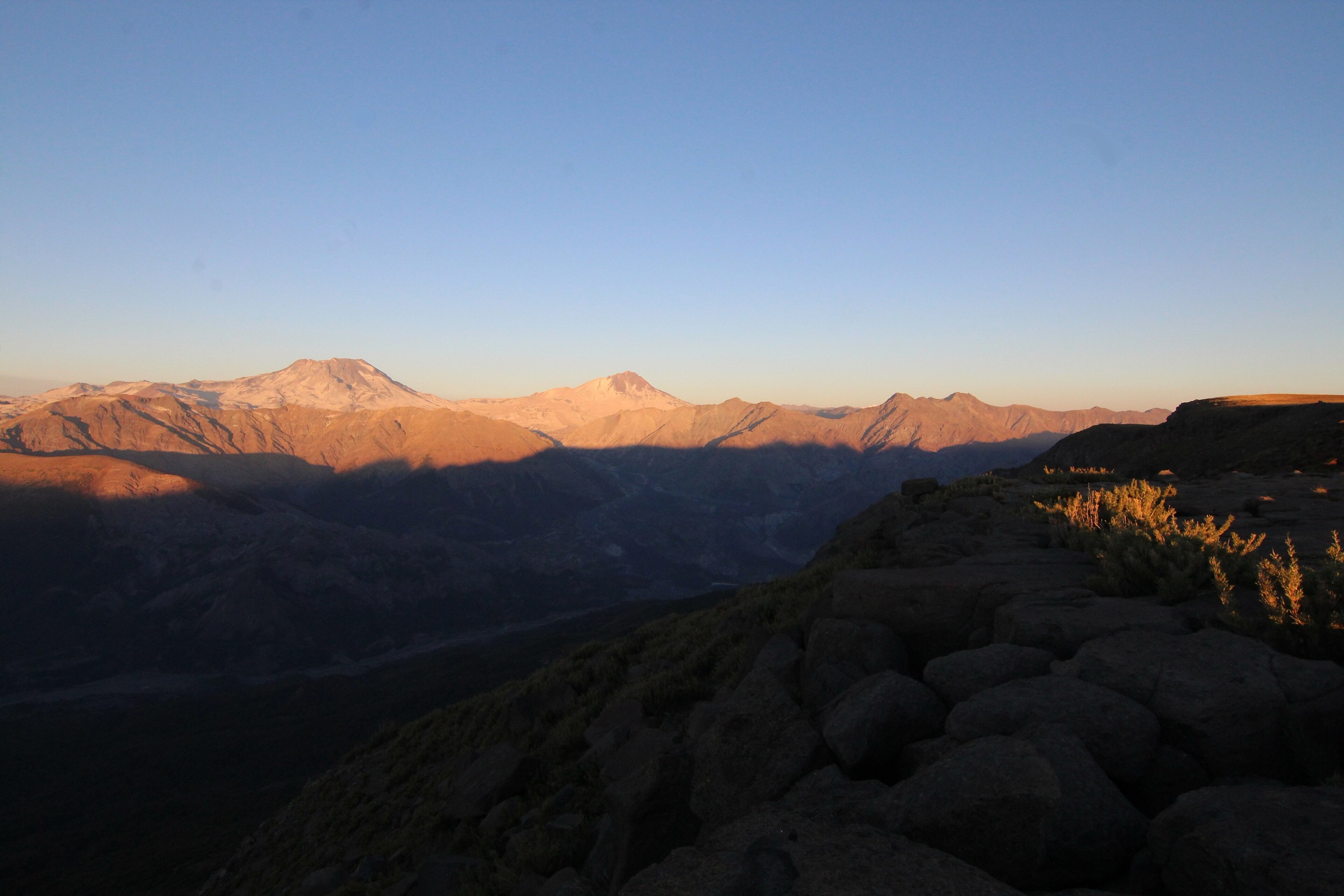
From the Altos de Lircay administration sector, the route climbs through native forest toward the Enladrillado plateau, the famous basalt-like stone pavement with views toward Descabezado Grande and the Maule volcanic skyline. The longer loop continues to Laguna El Alto before returning through the reserve trail network.
Why it is essential
Enladrillado is the best-known mountain feature of Altos de Lircay and one of Maule’s signature hikes. Adding Laguna El Alto creates the most complete day-hike version for fit walkers.
Equipment
- Mountain hiking boots/shoes
- Waterproof and windproof layer
- Warm layer
- Sun protection
- 2–3 litres of water or water treatment
- Food
- Headtorch
- Offline map/GPS
- Trekking poles
Hazards and notes
- This is a long day with substantial ascent
- Mud, heat, snow, trail closures, late return and limited communications are the main issues
- CONAF notes specific reserve rules and online ticketing/entry controls
- Check current opening and last-start times before attempting the loop
GPX / KML links
| Source | URL | Format / access | Reuse status |
|---|---|---|---|
| AllTrails: Laguna El Alto - Enladrillado | alltrails.com | Source map / downloadable route via AllTrails account | AllTrails terms apply; source-map reference only |
| Andeshandbook: El Enladrillado | andeshandbook.org | Guide route / track tab | Andeshandbook terms apply; track reuse unresolved |
| CONAF: Reserva Nacional Altos de Lircay | conaf.cl | Official park/trail context | Route-file terms not stated; no GPX found |
External links
- CONAF — Reserva Nacional Altos de Lircay
- Andeshandbook — El Enladrillado
- Andeshandbook — Laguna El Alto vía Enladrillado
- AllTrails — Laguna El Alto - Enladrillado
2. Siete Tazas and Salto La Leona
Snapshot
Itinerary
The route links the managed viewpoints over the Siete Tazas basalt pools of the Río Claro with the side trail or continuation to Salto La Leona. Andeshandbook describes both the CONAF north-bank and private south-bank viewing possibilities; this entry uses only legal, currently authorised access.
Why it is essential
Siete Tazas and Salto La Leona are the emblematic water-and-basalt landscape of Maule. Even though the walk is short, it is the non-negotiable natural landmark of Parque Nacional Radal Siete Tazas.
Equipment
- Walking shoes with grip
- Water
- Sun protection
- Rain layer in wet weather
- Small daypack
- Trekking poles only if extending to rougher Radal trails
Hazards and notes
- Stay behind viewpoint barriers and on authorised trails
- Wet rock, cliff edges, high water, winter stream activation, falling branches and crowding are the main hazards
- Current Pases Parques and CONAF opening hours should be checked before visiting
GPX / KML links
| Source | URL | Format / access | Reuse status |
|---|---|---|---|
| Andeshandbook: Siete Tazas - Salto La Leona | andeshandbook.org | Guide route / track tab | Andeshandbook terms apply; track reuse unresolved |
| CONAF: Parque Nacional Radal Siete Tazas | conaf.cl | Official park/trail context | No route-file licence stated; official context only |
| Pases Parques: Radal Siete Tazas | pasesparques.cl | Official access/ticket source | No route file; access context only |
External links
- CONAF — Parque Nacional Radal Siete Tazas
- Andeshandbook — Siete Tazas - Salto La Leona
- Parque Nacional Radal Siete Tazas — Qué visitar
- Pases Parques — Radal Siete Tazas
3. Los Chiquillanes - Malacara loop, Radal Siete Tazas
Snapshot
Itinerary
The loop combines the longer forested Chiquillanes route with the Malacara trail sector in Parque Inglés. It moves away from the short waterfall viewpoints into native forest, older trees, open sections and higher Radal terrain.
Why it is essential
This is the best day-hike complement to the Siete Tazas viewpoints. It shows Radal as a walking park rather than only a gorge overlook, with a more complete forest-and-ridge experience.
Equipment
- Hiking shoes/boots
- Water, snacks
- Sun protection
- Rain layer
- Offline map/GPS
- Trekking poles if the trail is muddy
Hazards and notes
- CONAF identifies winter/snowmelt stream activation and falling branches as risks for Chiquillanes
- The access road to Parque Inglés can be rough
- Check passability and opening status before setting out
GPX / KML links
| Source | URL | Format / access | Reuse status |
|---|---|---|---|
| AllTrails: Los Chiquillanes - Malacara | alltrails.com | Source map / downloadable route via AllTrails account | AllTrails terms apply; source-map reference only |
| CONAF: Parque Nacional Radal Siete Tazas | conaf.cl | Official Chiquillanes stats/context | No route-file licence stated; official context only |
External links
- CONAF — Parque Nacional Radal Siete Tazas
- AllTrails — Los Chiquillanes - Malacara
- Parque Nacional Radal Siete Tazas — Sendero Los Chiquillanes
4. Cavernas Belloto, Los Bellotos del Melado
Snapshot
Itinerary
The walk enters Reserva Nacional Los Bellotos del Melado, a protected area created around rare belloto del sur and associated Maule native forest. The Cavernas Belloto route is a moderate out-and-back route through forested terrain to the cave/rock feature indicated in trail databases.
Why it is essential
Los Bellotos del Melado gives the catalogue a conservation-focused Maule hike, representing native forest and endemic flora rather than only volcanic lookouts and waterfalls.
Equipment
- Hiking shoes
- Water
- Rain layer
- Sun protection
- Food
- Offline map/GPS
- Headtorch can be useful near cave features, but do not enter unstable or closed cave sections
Hazards and notes
- CONAF notes that the reserve has only senderos and no camping or picnic facilities
- The approach road includes gravel/dirt sections
- Mud, fallen branches, poor signage and limited services are likely practical issues
GPX / KML links
| Source | URL | Format / access | Reuse status |
|---|---|---|---|
| AllTrails: Cavernas Belloto | alltrails.com | Source map / downloadable route via AllTrails account | AllTrails terms apply; source-map reference only |
| CONAF: Reserva Nacional Los Bellotos del Melado | conaf.cl | Official reserve context | No route-file licence stated; official context only |
External links
5. Sendero Sierra Velluda, Laguna del Laja
Snapshot
Itinerary
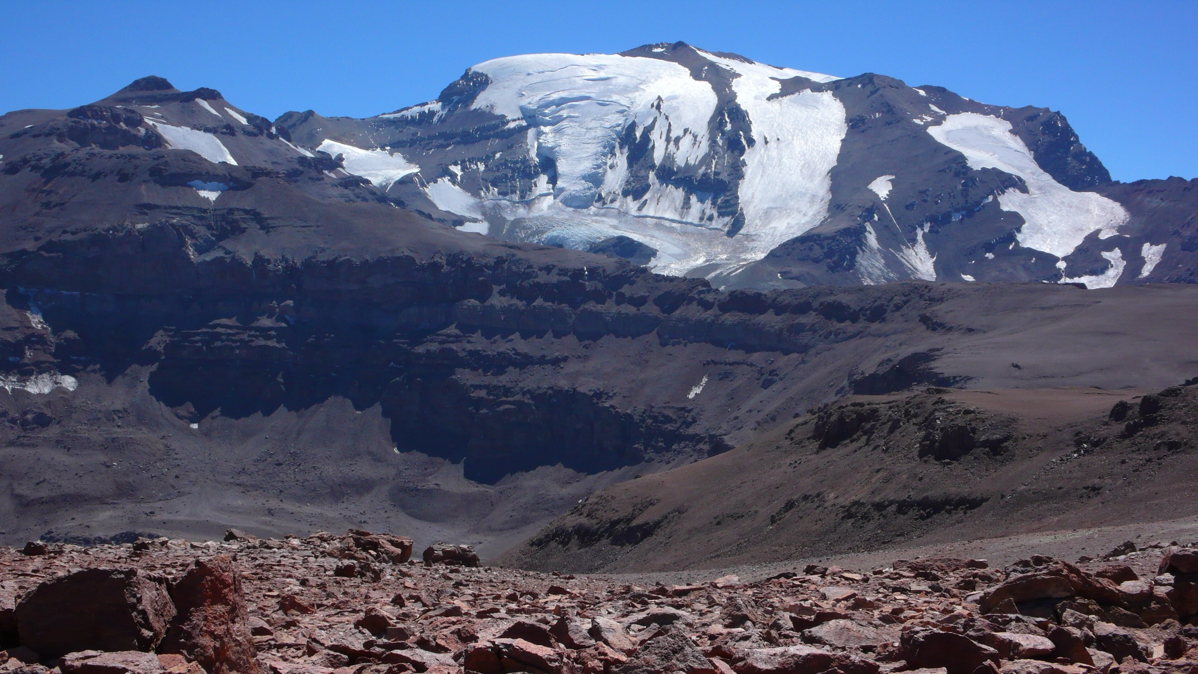
The Sierra Velluda trail climbs through the volcanic landscape of Parque Nacional Laguna del Laja, approaching viewpoints toward Sierra Velluda, Volcán Antuco, lava terrain and the Laguna del Laja basin. CONAF lists the route as a 9.6 km trail with 5-7 hours total walking time.
Why it is essential
Sierra Velluda is the most direct day-hike representation of the central Chile volcanic Andes in this selection. It complements the Maule forest/gorge routes with a higher, more open volcano-and-glacier-view landscape.
Equipment
- Mountain hiking boots/shoes
- Windproof/waterproof shell
- Warm layer
- Sun protection
- Water, food
- Offline map/GPS
- Headtorch
- Snow/traction equipment only with the skills and conditions requiring it
Hazards and notes
- CONAF identifies avalanche possibility, rockfall, lightning and possible puma encounters in winter/spring as sector risks
- Weather can change quickly around Sierra Velluda and Antuco
- Check park status, ticketing and ranger advice before starting
GPX / KML links
| Source | URL | Format / access | Reuse status |
|---|---|---|---|
| CONAF: Parque Nacional Laguna del Laja | conaf.cl | Official trail source | No route file found in this pass; official stats/context only |
| Parque Nacional Laguna del Laja: Sendero Sierra Velluda | parquenacionallagunadellaja.cl | Trail information page | Route-file terms not stated; GPX unresolved |
| OpenStreetMap search: Sierra Velluda | openstreetmap.org | Map geometry cross-check | OSM data is ODbL; geometry cross-check target only |
External links
- CONAF — Parque Nacional Laguna del Laja
- Parque Nacional Laguna del Laja — Sendero Sierra Velluda
- UNESCO — Corredor Biológico Nevados de Chillán-Laguna del Laja
Missing data and follow-up
- Official GPX/KML downloads were not found for the CONAF or Parque Nacional Laguna del Laja routes in this pass.
- Andeshandbook and AllTrails track-file reuse terms were not assessed.
- Maximum elevations for Enladrillado, Chiquillanes, Cavernas Belloto and Sierra Velluda need confirmation against an authoritative source.
- Specific licence-compatible Commons images need verification before publication; only category/search links were available in this pass.
- Current CONAF / Pases Parques opening hours, ticketing, and any seasonal closures should be checked close to travel.
External links
| Source | URL |
|---|---|
| CONAF — Reserva Nacional Altos de Lircay | conaf.cl |
| CONAF — Parque Nacional Radal Siete Tazas | conaf.cl |
| CONAF — Reserva Nacional Los Bellotos del Melado | conaf.cl |
| CONAF — Parque Nacional Laguna del Laja | conaf.cl |
| Andeshandbook — El Enladrillado | andeshandbook.org |
| Andeshandbook — Laguna El Alto vía Enladrillado | andeshandbook.org |
| Andeshandbook — Siete Tazas - Salto La Leona | andeshandbook.org |
| AllTrails — Laguna El Alto - Enladrillado | alltrails.com |
| AllTrails — Los Chiquillanes - Malacara | alltrails.com |
| AllTrails — Cavernas Belloto | alltrails.com |
| Parque Nacional Radal Siete Tazas — Qué visitar | parquenacionalsietetazas.cl |
| Parque Nacional Radal Siete Tazas — Sendero Los Chiquillanes | parquenacionalsietetazas.cl |
| Parque Nacional Laguna del Laja — Sendero Sierra Velluda | parquenacionallagunadellaja.cl |
| Pases Parques — Radal Siete Tazas | pasesparques.cl |
| UNESCO — Corredor Biológico Nevados de Chillán-Laguna del Laja | unesco.org |