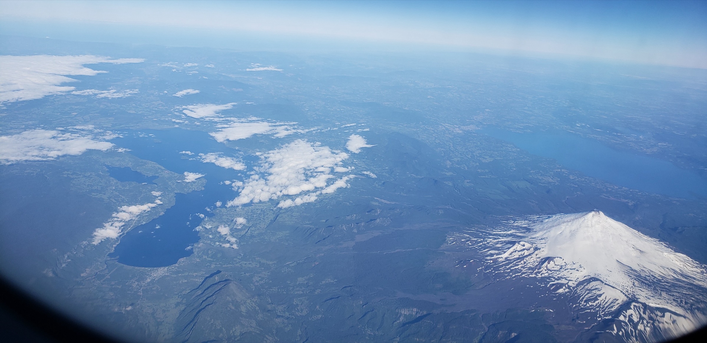
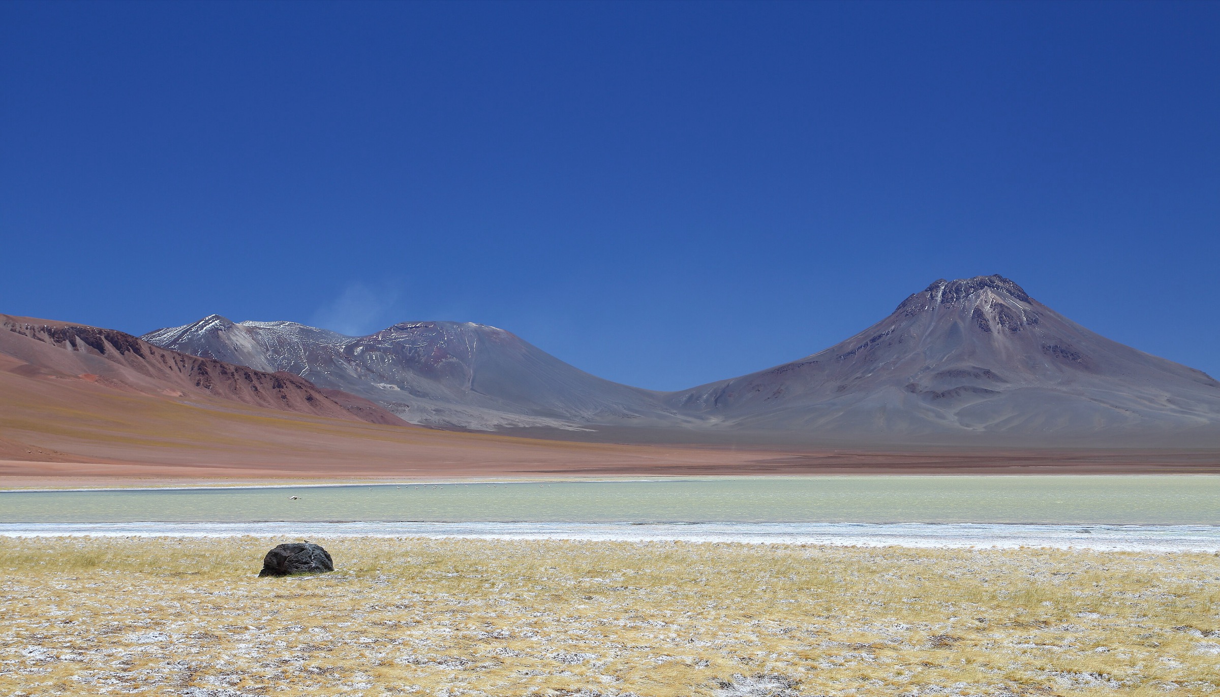
Regional overview
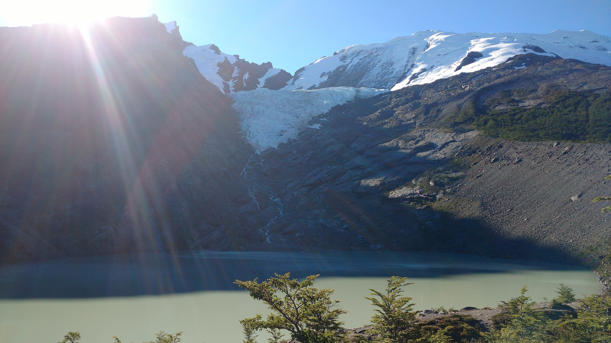
The high volcanoes of the Central Andes form a sparse, severe mountaineering landscape on and around the Chile-Argentina border: Ojos del Salado, Nevado San Francisco, Volcán San Francisco, Volcán Copiapó, Láscar, Incahuasi, Tres Cruces, and neighbouring summits. These are not normal waymarked day hikes. They are high-altitude desert ascents that often start from 4,600–5,800 m vehicle-accessible refuges or roadheads and require acclimatisation, 4WD logistics, weather judgement, and permit checks.
For the catalogue, the “day-hike” interpretation is limited to summit-day or acclimatisation-day routes that are non-glaciated or mostly non-technical in normal dry conditions. Ojos del Salado is included because of its global significance, but it is marked as only partially compatible with day-hike criteria: the final section involves scrambling/climbing terrain and should be treated as mountaineering.
The main access corridors are Chile’s Atacama Region and Argentina’s Catamarca Route of the Six-Thousands / Paso San Francisco area, plus San Pedro de Atacama for Láscar. Water, rescue, fuel, border controls, volcanic alerts, wind, and altitude illness are the controlling factors.
Selection rationale
The five selected routes represent the classic non-glaciated high-volcano objectives with public route data: Nevado San Francisco, Volcán San Francisco, Ojos del Salado, Volcán Copiapó, and Láscar. All require specialist caution despite being tracked as hiking or mountaineering routes in public databases.
Summary table
| # | Hike | Country | Route type | Distance | Elevation gain | Max elevation | Difficulty |
|---|---|---|---|---|---|---|---|
| 1 | Nevado San Francisco from Laguna Verde / border refuge side | Chile / Argentina | Loop | 11.32 km | 1,008 m | 6,068 m | Hard |
| 2 | Volcán San Francisco from Ruta de los Seismiles | Argentina / Chile border | One-way source route / return required | 14.41 km | 1,287 m | 6,035 m | Hard |
| 3 | Ojos del Salado from Refugio Atacama | Chile / Argentina border | One-way summit-day source route | 7.52 km one way | 1,605 m | 6,857 m on track; summit commonly 6,893 m | Very hard / mountaineering |
| 4 | Volcán Copiapó normal route | Chile | One-way ascent source route | 5.22 km one way | 1,392 m | 6,088 m | Hard |
| 5 | Volcán Láscar crater and summit | Chile | Loop | 6.42 km | 684 m | 5,568 m on track; summit commonly 5,592 m | Hard |
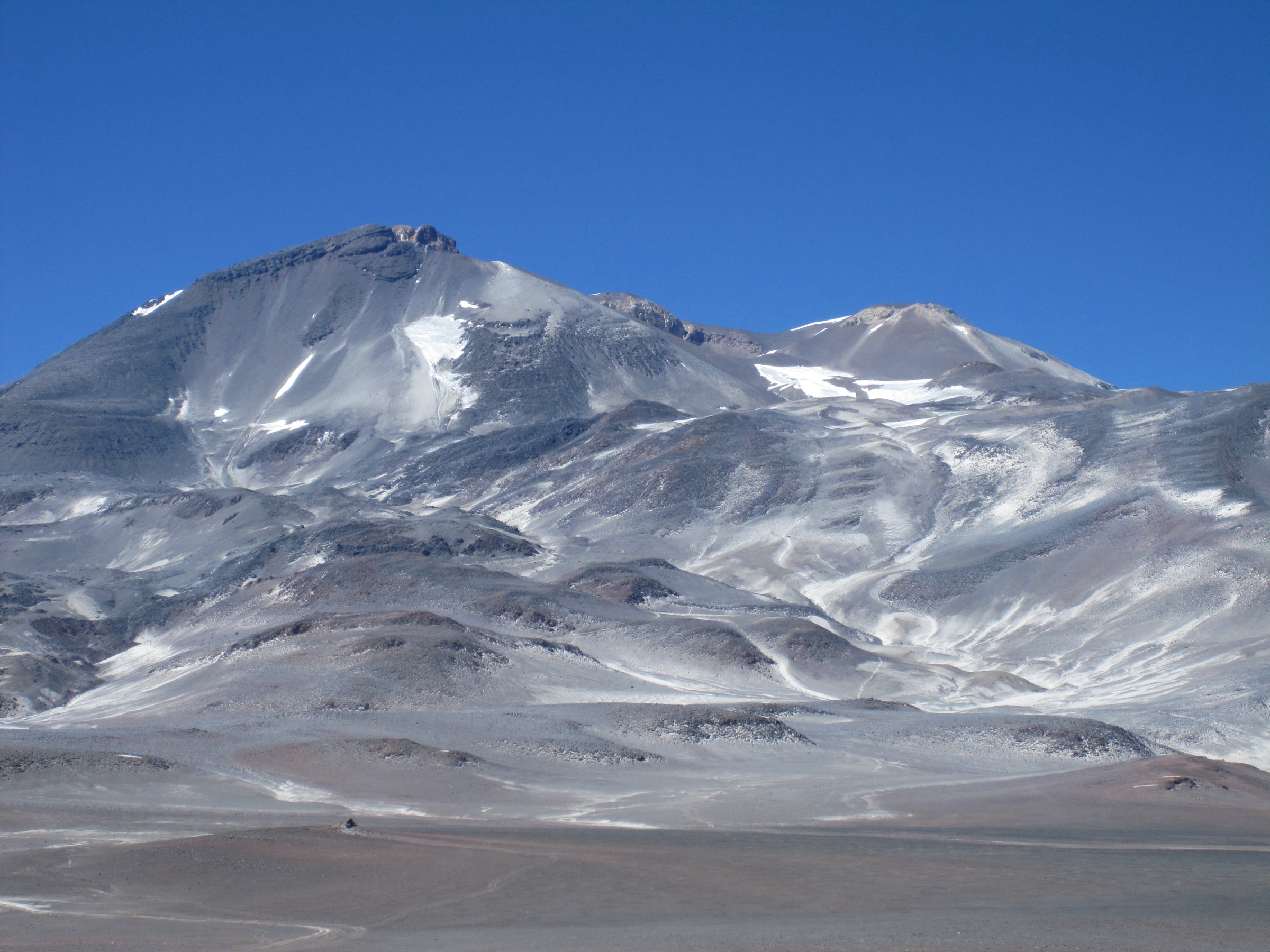
1. Nevado San Francisco from Laguna Verde / border refuge side
Snapshot
Itinerary
The route climbs from the Laguna Verde/Paso San Francisco high-desert side toward Nevado San Francisco’s broad volcanic summit. It is often used as an acclimatisation summit for Ojos del Salado expeditions. The source track records a loop with more than 1,000 m ascent above 5,000 m.
Why it is essential
Nevado San Francisco is one of the most climbed 6,000 m volcanoes in the area and a benchmark objective for the Paso San Francisco high-volcano zone.
Equipment
- High-altitude mountain equipment: double-layer warmth system, shell, gloves, hat, sunglasses, glacier-level sun protection, water, food, GPS, headtorch, emergency bivy layer
- Ice axe / microspikes / crampons may be needed after snow; normal dry-route equipment must be checked locally
Hazards and notes
- Altitude illness, wind, cold, road isolation, border rules, and lack of water are major hazards.
- The summit elevation differs between route track and common references; final catalogue should normalise the summit height with a chosen authoritative source.
GPX / KML links
| Source | URL | Format | Notes |
|---|---|---|---|
| Wikiloc: Nevado San Francisco (Chile/Argentina) | es.wikiloc.com | Source route / GPX via Wikiloc | Wikiloc terms apply; stats verified, direct reuse unresolved |
External links
2. Volcán San Francisco from Ruta de los Seismiles
Snapshot
Itinerary
The route starts near the Paso San Francisco border road, follows vehicle traces or cairns toward the base of the volcano, traverses the north side, reaches the crater rim, then continues around the crater toward the final cone. The Wikiloc source notes permit paperwork in Fiambalá and presentation at Gendarmería/La Gruta for the border area.
Why it is essential
Volcán San Francisco is a classic Catamarca 6,000 m day summit and one of the most approachable high-volcano ascents from Ruta de los Seismiles.
Equipment
- Full high-altitude day kit with wind/cold protection, navigation backup, headtorch, water for a waterless zone, and emergency shelter
- Snow traction equipment may be required outside dry conditions
Hazards and notes
- The route is in a border zone with permit controls.
- The source reports no potable water in the refuge area.
- High wind, soft volcanic scree, altitude illness, and long evacuation distances are major issues.
GPX / KML links
| Source | URL | Format | Notes |
|---|---|---|---|
| Wikiloc: Volcán San Francisco (6035m) | es.wikiloc.com | Source route / GPX via Wikiloc | Wikiloc terms apply; stats and access notes verified, direct reuse unresolved |
External links
3. Ojos del Salado from Refugio Atacama
Snapshot
Itinerary
The Chilean route climbs from Refugio Atacama toward Refugio Tejos and the upper scree slopes of Ojos del Salado. The source notes that strong 4WD vehicles may reach Tejos or higher, but the recorded route begins lower. The final section includes scrambling or climbing terrain near the summit.
Why it is essential
Ojos del Salado is the highest volcano on Earth and the emblematic summit of the Central Andes high-volcano belt.
Equipment
- Mountaineering-level high-altitude kit, including helmet consideration for the final scrambling section, headtorch, navigation, emergency shelter, expedition clothing, and enough water
- Rope/harness use is not specified by the source, but parties must assess the final step, snow, ice, and fixed-line conditions locally
Hazards and notes
- This is not an ordinary day hike. Altitude, extreme wind, cold, 4WD access, final scrambling/climbing, and isolation make it a mountaineering objective.
- It should remain in the catalogue only with a clear warning label.
GPX / KML links
| Source | URL | Format | Notes |
|---|---|---|---|
| Wikiloc: Ojos del Salado from Refugio Atacama | wikiloc.com | Source route / GPX via Wikiloc | Wikiloc terms apply; stats verified for ascent track, descent/route reuse unresolved |
External links
4. Volcán Copiapó normal route
Snapshot
Itinerary
The normal route begins from a high 4WD camp below Volcán Copiapó and climbs directly through dry volcanic terrain to the summit. The source party explicitly chose a one-day ascent from the high vehicle camp because the upper camp was exposed and lacked snow/water.
Why it is essential
Volcán Copiapó is a major 6,000 m Atacama volcano with archaeological and scenic significance, and the public source route describes a practical one-day ascent.
Equipment
- Full high-altitude volcanic summit kit, including strong boots, wind/cold protection, navigation, headtorch, and all water
- Snow traction may be required after storms or early season
Hazards and notes
- The source track is ascent-only. A publication route must derive or verify descent statistics.
- 4WD access, waterlessness, wind, and rescue remoteness are critical.
GPX / KML links
| Source | URL | Format | Notes |
|---|---|---|---|
| Wikiloc: Volcán Copiapó 6.080 m | es.wikiloc.com | Source route / GPX via Wikiloc | Wikiloc terms apply; ascent stats verified, descent unresolved |
External links
5. Volcán Láscar crater and summit
Snapshot
Itinerary
The route climbs from the high volcanic roadhead to the crater viewpoint, follows the crater edge toward the summit, and returns across loose volcanic slopes. It is short in distance but demanding because of altitude and volcanic conditions.
Why it is essential
Láscar is the most accessible active-volcano summit experience in the San Pedro sector and a logical lower-altitude companion to the 6,000 m giants.
Equipment
- High-altitude mountain day kit, warm/windproof layers, sun protection, navigation, and adequate water
Hazards and notes
- Volcanic alerts, sulphurous gas, ash, wind, and altitude illness are key concerns.
- Check SERNAGEOMIN and local guide/operator conditions before any ascent.
GPX / KML links
| Source | URL | Format | Notes |
|---|---|---|---|
| Wikiloc: Volcan Lascar – Atacama – Chile | wikiloc.com | Source route / GPX via Wikiloc | Wikiloc terms apply; stats verified, direct reuse unresolved |
External links
Missing data and follow-up
- Confirm current border, Gendarmería, provincial, and CONAF / SERNAGEOMIN access rules for each objective.
- Resolve descent statistics for one-way source tracks on Ojos del Salado and Volcán Copiapó.
- Confirm snow/ice equipment requirements close to publication date.
- Replace context-only photo entries with exact file-level Commons candidates for Volcán San Francisco and Copiapó.
External links
| Source | URL |
|---|---|
| Wikiloc Nevado San Francisco | es.wikiloc.com |
| Wikiloc Volcán San Francisco | es.wikiloc.com |
| Wikiloc Ojos del Salado | wikiloc.com |
| Wikiloc Volcán Copiapó | es.wikiloc.com |
| Wikiloc Volcán Láscar | wikiloc.com |
| Andeshandbook Nevado San Francisco | andeshandbook.org |
| SERNAGEOMIN Láscar hazard map (PDF) | sernageomin.cl |