Regional overview
The Argentine Puna and its adjoining quebradas in Jujuy, Salta, and Catamarca form a dry, high, brightly eroded walking region of coloured hills, cactus ravines, salt basins, and volcanic plateaus. The best day hikes are usually short to medium-length routes from villages such as Purmamarca, Uquía, Tilcara, Humahuaca, Cafayate, and Seclantás rather than alpine-style signed trail networks.
The region is accessible by road, but walking is shaped by altitude, heat, strong sun, sudden storms, community-managed access, and fragile archaeological or geological sites. Some famous walks require local guides or community payments, and several route databases include duplicated, vehicle-assisted, or imprecise tracks.
This entry focuses on publication-useful day walks with public route statistics: Paseo de los Colorados, Quebrada de las Señoritas, Garganta del Diablo at Tilcara, the Hornocal ascent/traverse, and Cuevas de Acsibi.
Selection rationale
The five routes represent the main hiking experiences of the north-west: Purmamarca’s red hills, Uquía’s community-managed canyon, Tilcara’s classic waterfall gorge, the high Hornocal colour range, and Salta’s eroded Acsibi canyon. The set intentionally avoids long multi-day cross-Andes traverses.
Summary table
| # | Hike | Country | Route type | Distance | Gain | Max elevation | Difficulty |
|---|---|---|---|---|---|---|---|
| 1 | Paseo de los Colorados, Purmamarca | Argentina | Loop | 4.22 km | 160 m | 2,443 m | Easy |
| 2 | Quebrada de las Señoritas long circuit | Argentina | Loop | 7.8-8.8 km depending on source | 439-576 m | 3,064 m | Moderate |
| 3 | Garganta del Diablo from Tilcara | Argentina | Loop | 8.14 km | 375 m | 2,840 m | Moderate |
| 4 | Humahuaca to Hornocal viewpoint | Argentina | Point-to-point | 25.09 km | 1,405 m | 4,379 m | Hard |
| 5 | Cuevas de Acsibi, Seclantás | Argentina | One-way source route / out-and-back variant | 5.10 km one way | 215 m | 3,026 m | Moderate |
1. Paseo de los Colorados, Purmamarca
Snapshot
Itinerary
The loop starts in Purmamarca and passes behind the village through red, ochre, and cream sedimentary hills. It gives close views of the Cerro de los Siete Colores landscape and returns to the village without requiring high-mountain logistics.
Why it is essential
This is the classic short walk of Purmamarca and one of the most accessible ways to experience the coloured hills of Jujuy on foot.
Equipment
- Standard hiking equipment: walking shoes, water, sun hat, sunscreen, and wind/rain layer
- Cash may be useful for local contribution points
Hazards and notes
- Heat, dust, sun exposure, and fragile slopes are the main issues.
- Stay on established paths and confirm current community fee arrangements locally.
GPX / KML links
| Source | URL | Format / access | Reuse status |
|---|---|---|---|
| Wikiloc: Paseo de los colorados. Purmamarca | es.wikiloc.com | Source route / GPX via Wikiloc | Wikiloc terms apply; stats verified; direct reuse unresolved |
| Outdooractive: Paseo de los Colorados | outdooractive.com | Source map | Outdooractive terms apply; secondary verification |
External links
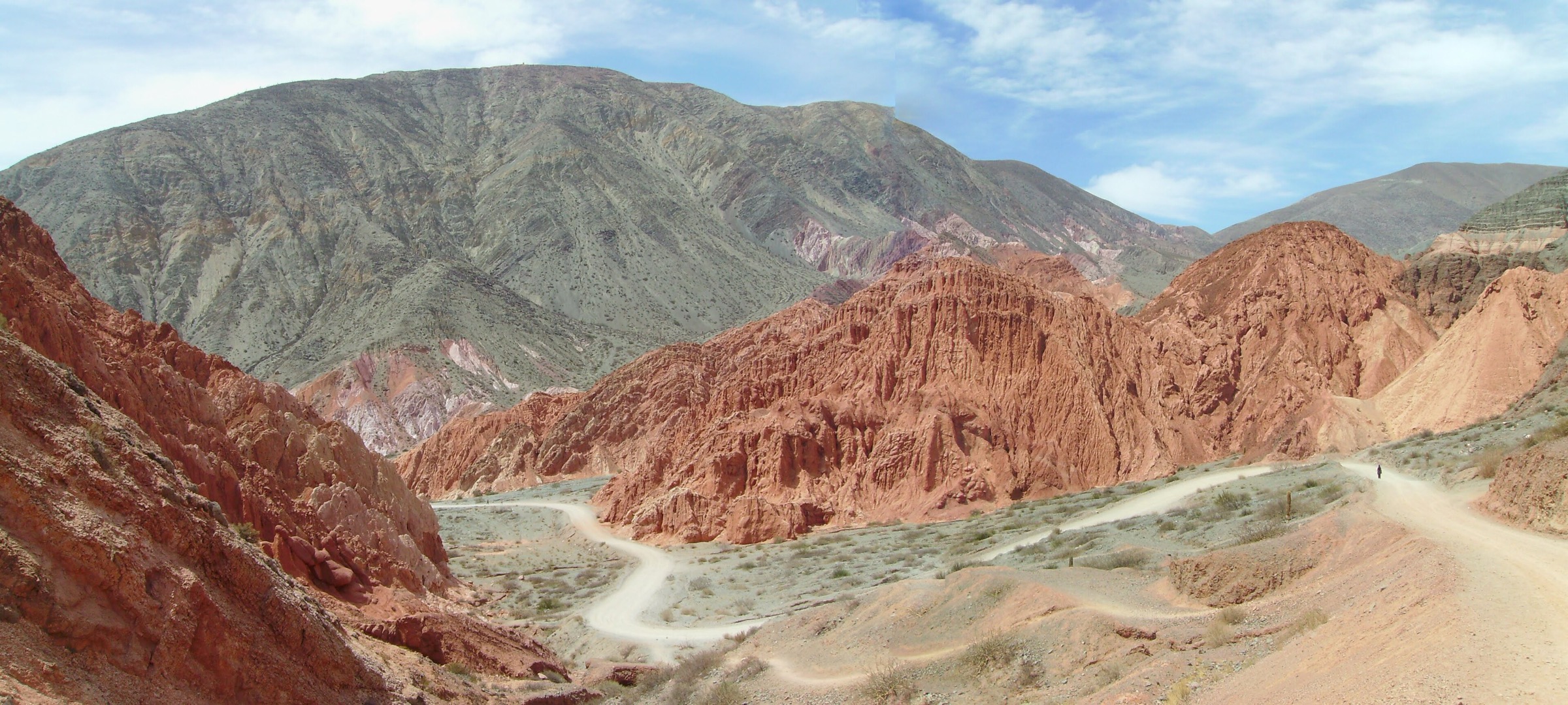
2. Quebrada de las Señoritas long circuit
Snapshot
Itinerary
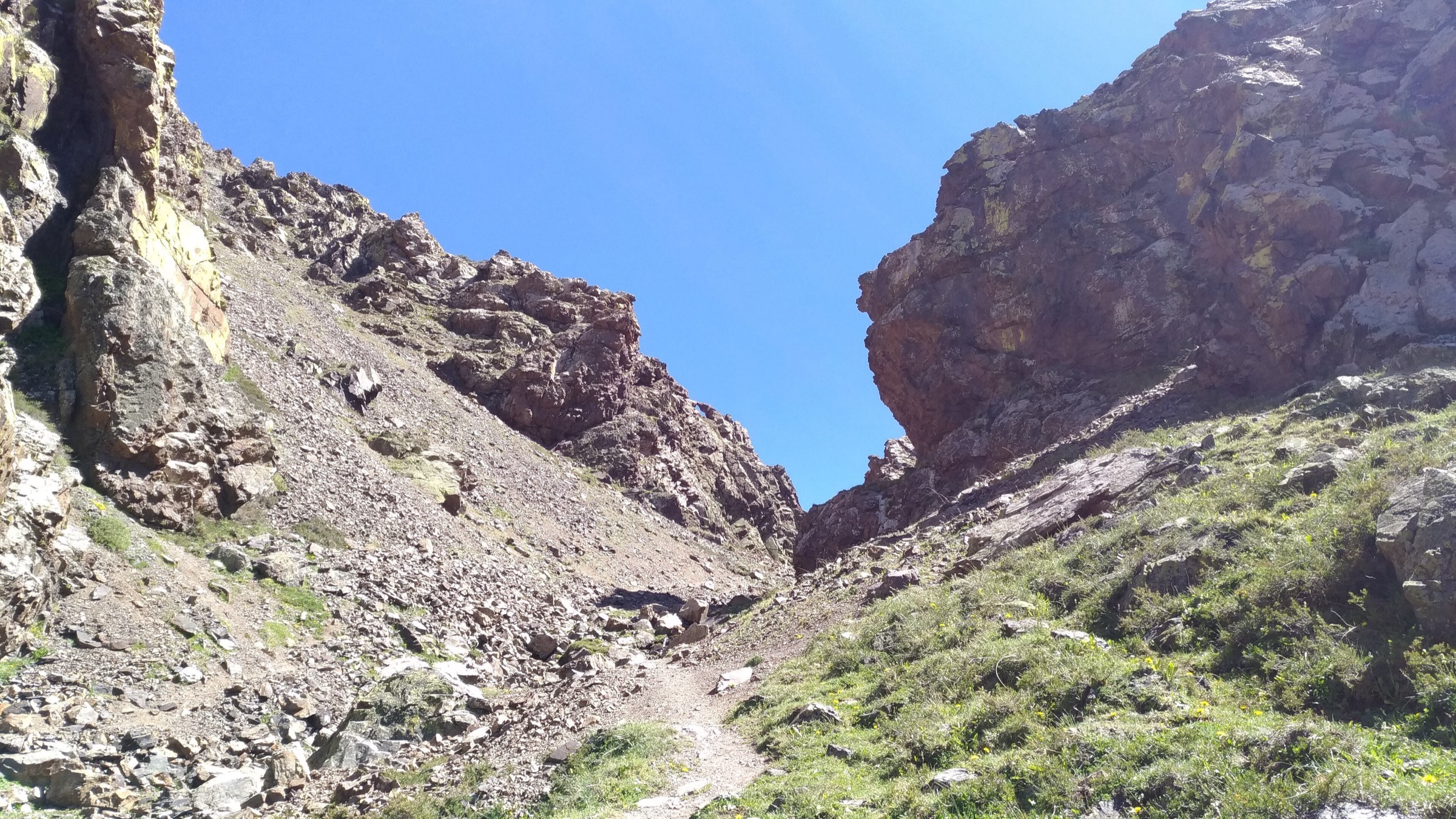
The route enters the Quebrada de las Señoritas from Uquía and explores red spires, narrow side gullies, amphitheatre-like formations, and viewpoints around Cerro Las Señoritas. Public tracks vary between shorter guided loops and longer circuits, which explains the spread in distance and ascent.
Why it is essential
This is one of the most distinctive canyon walks in Jujuy and a strong community-managed alternative to the more photographed Purmamarca and Hornocal viewpoints.
Equipment
- Standard hiking equipment plus sun protection and at least 1.5-2 litres of water
- Guide payment/entry cash if currently required
Hazards and notes
- Some recent route descriptions say a guide is obligatory for parts of the area because of site protection and previous visitor impacts.
- Confirm current rules in Uquía and avoid entering closed gullies or archaeological areas.
GPX / KML links
| Source | URL | Format / access | Reuse status |
|---|---|---|---|
| Wikiloc: Quebrada de las Señoritas | es.wikiloc.com | Source route / GPX via Wikiloc | Wikiloc terms apply; stats verified; direct reuse unresolved |
| Wikiloc: Quebrada Las Señoritas - Uquía / AR | ca.wikiloc.com | Source route / GPX via Wikiloc | Wikiloc terms apply; secondary route-stat comparison |
External links
- Wikiloc — Quebrada de las Señoritas long circuit
- Wikiloc — Quebrada Las Señoritas, Uquía
- Jujuy Turismo — Uquía
3. Garganta del Diablo from Tilcara
Snapshot
Itinerary
The walk climbs from Tilcara toward the Huasamayo River gorge and the Garganta del Diablo viewpoint/waterfall area. It can be done as a loop or return variant, with a steady climb from town and a canyon finish.
Why it is essential
Garganta del Diablo is Tilcara’s classic day walk and provides a canyon-and-waterfall contrast to the open coloured hills around Purmamarca and Humahuaca.
Equipment
- Standard hiking equipment, sun protection, water, and footwear suitable for rocky paths
Hazards and notes
- The route is exposed to sun and can be affected by runoff.
- Avoid off-route scrambling above the falls; some user tracks include informal viewpoints that should not be assumed safe or permitted.
GPX / KML links
| Source | URL | Format / access | Reuse status |
|---|---|---|---|
| Wikiloc: Tilcara - La Garganta del Diablo | wikiloc.com | Source route / GPX via Wikiloc | Wikiloc terms apply; stats verified; direct reuse unresolved |
External links
- Wikiloc — Tilcara: La Garganta del Diablo
- INSUGEO — field-trip PDF mentioning Tilcara Garganta del Diablo
4. Humahuaca to Hornocal viewpoint
Snapshot
Itinerary
The source route climbs from Humahuaca toward the high Serranía de Hornocal viewpoint, gaining more than 1,400 m to a very high lookout over the “fourteen-colour” limestone and sedimentary range. Because many visitors drive to the viewpoint, the walking version needs careful logistics and an early start.
Why it is essential
Hornocal is one of the defining high-colour landscapes of Jujuy. The walking ascent gives the region’s strongest high-altitude day objective outside technical volcanos.
Equipment
- Mountain hiking equipment: boots, windproof and warm layers
- Sun protection
- Water and food
- Navigation
- Headtorch
Hazards and notes
- Altitude, exposure, lack of shade, road traffic, and limited water are major issues.
- The source time is not credible for normal walking over 25 km and 1,405 m ascent, so timing must be locally checked.
GPX / KML links
| Source | URL | Format / access | Reuse status |
|---|---|---|---|
| Wikiloc: Humahuaca / Hornocal | wikiloc.com | Source route / GPX via Wikiloc | Wikiloc terms apply; stats verified; timing suspect; direct reuse unresolved |
External links
- Wikiloc — Humahuaca / Hornocal
- Jujuy international tourism catalogue (PDF)
- Wikipedia — Serranía de Hornocal
5. Cuevas de Acsibi, Seclantás
Snapshot
Itinerary
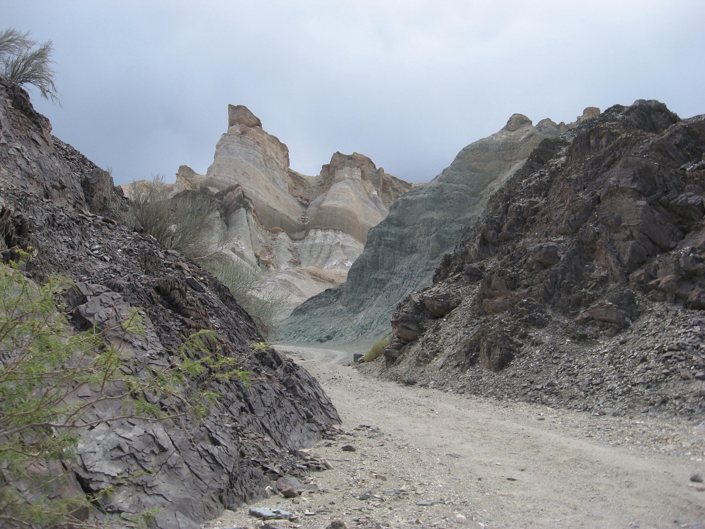
The route enters the eroded red Acsibi landscape from the Seclantás side and follows a canyon line toward the caves and narrow formations. The publicly available source is one-way, so a publication route needs either return statistics or a confirmed pickup/loop arrangement.
Why it is essential
Acsibi is one of Salta’s most striking walking landscapes, representing the Calchaquí/Puna margin with sculpted red formations away from the more roadside Quebrada de las Conchas viewpoints.
Equipment
- Standard desert hiking equipment, water, sun protection, and footwear for sand/rock
- Local guide/access permission should be confirmed before use
Hazards and notes
- Access may cross private/community-managed land.
- Flash flooding, route-finding in side gullies, heat, and lack of water are key hazards.
GPX / KML links
| Source | URL | Format / access | Reuse status |
|---|---|---|---|
| Wikiloc: Cuevas de Acsibi | wikiloc.com | Source route / GPX via Wikiloc | Wikiloc terms apply; one-way stats verified; direct reuse unresolved |
External links
External links
| Source | URL |
|---|---|
| Jujuy Turismo — Uquía | jujuyturismo.com.ar |
| Jujuy international tourism catalogue (PDF) | turismo.jujuy.gob.ar |
| Salta Turismo — Seclantás (PDF) | turismosalta.gov.ar |
| INSUGEO — field-trip PDF mentioning Tilcara Garganta del Diablo | insugeo.org.ar |
| Wikipedia — Serranía de Hornocal | en.wikipedia.org |
| Wikiloc — Paseo de los Colorados | es.wikiloc.com |
| Outdooractive — Paseo de los Colorados | outdooractive.com |
| Wikiloc — Quebrada de las Señoritas long circuit | es.wikiloc.com |
| Wikiloc — Quebrada Las Señoritas, Uquía | ca.wikiloc.com |
| Wikiloc — Tilcara: La Garganta del Diablo | wikiloc.com |
| Wikiloc — Humahuaca / Hornocal | wikiloc.com |
| Wikiloc — Cuevas de Acsibi | wikiloc.com |