Regional overview
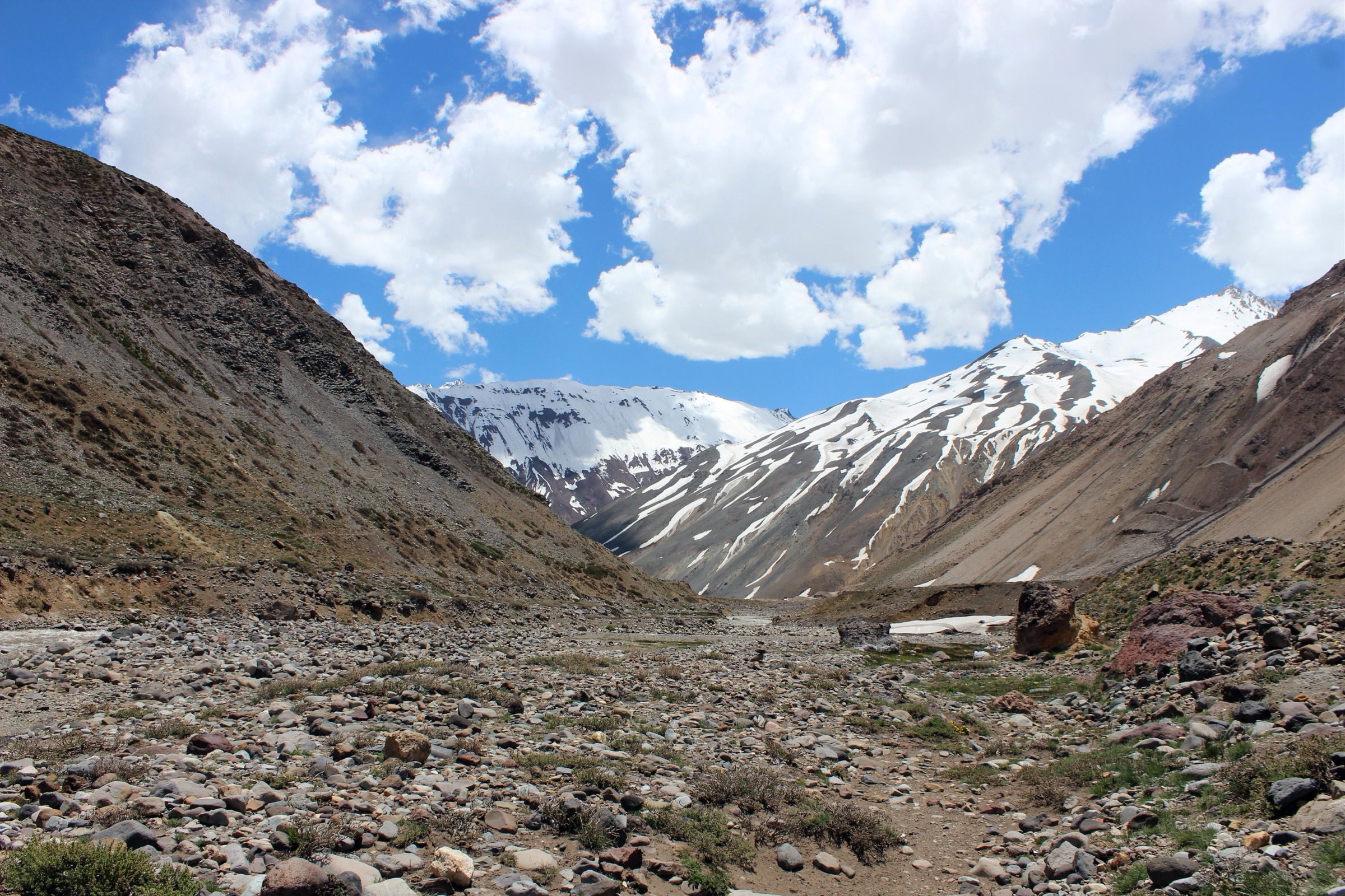
Cajon del Maipo is the high Andean canyon southeast of Santiago, carrying the upper Maipo basin toward the volcanic and glaciated border ranges. Compared with the Santiago foothills, the walking is bigger, colder and more remote: glacial valleys around Banos Morales and El Morado, sclerophyll ravines near El Manzano and San Alfonso, condor cliffs, river crossings, private reserves, park-gate controls and long road approaches from Santiago.
The region has a uneven public route-data landscape. El Morado Natural Monument has official access/pass information and a well documented glacier-view trail. Other popular Cajon day hikes are widely walked but are documented mostly by trail databases and local/private access information, so they are retained with partial verification where official GPX/KML was not found.
Selection rationale
The five hikes represent the essential day-walking range of Cajon del Maipo: the classic San Francisco Glacier trail in El Morado, the harder Parque Arenas glacier-lake route, a forest-and-stream outing in Estero El Manzano, the shorter waterfall route up Estero El Sauce, and the Cueva El Manzano condor/rock landscape. Mirador de los Condores is not selected in this pass because I did not verify a clean legal route source, statistics and access status.
Summary table
| # | Hike | Country | Route type | Distance | Gain | Max elevation | Difficulty |
|---|---|---|---|---|---|---|---|
| 1 | San Francisco Glacier Trail, El Morado Natural Monument | Chile | Out-and-back | 12.1 km | 570 m | 2,377 m | Moderate |
| 2 | Glaciar El Morado via Parque Arenas | Chile | Out-and-back | 19.0 km | 1,072 m | 3,252 m | Hard |
| 3 | Estero El Manzano | Chile | Out-and-back | 15.4 km | 647 m | 1,524 m | Hard |
| 4 | Doble Cascada via Sendero Estero El Sauce | Chile | Out-and-back | 7.9 km | 339 m | 1,212 m | Moderate |
| 5 | Cueva El Manzano | Chile | Out-and-back | 8.5 km | 761 m | 1,645 m | Hard |
1. San Francisco Glacier Trail, El Morado Natural Monument
Snapshot
Itinerary
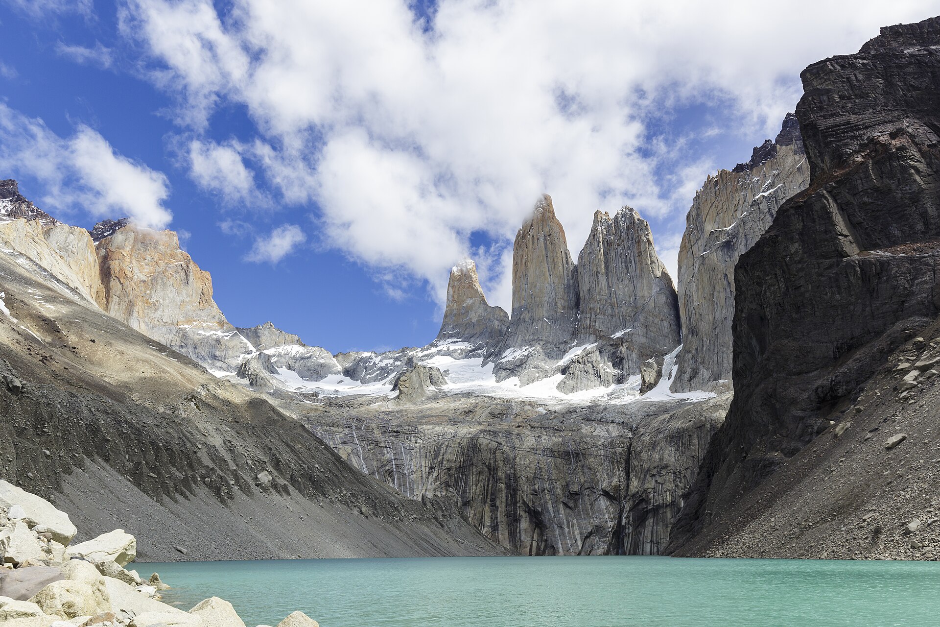
From the El Morado entrance above Banos Morales, the trail heads up the open valley below Cerro San Francisco, Cerro Union and the south wall of Cerro El Morado. It passes mineral-water pools/panimavidas and reaches the glacial cirque area with views of the debris-covered San Francisco Glacier. In winter or with snow, AllTrails’ park text says reaching the glacier sector may not be allowed and walking may be limited to the lagoon.
Why it is essential
This is Cajon del Maipo’s classic protected-area glacier-view hike: non-technical, dramatic, close enough to Santiago for a long day, and centered on the best-known natural monument in the valley.
Equipment
- Mountain shoes, trekking poles, warm/wind layer, sun protection, sunglasses.
- Food, at least 2 litres of water, offline map/GPS and a headtorch.
- Check the park pass system and closure status before leaving Santiago.
Hazards and notes
- Altitude, sun exposure, loose rock, afternoon weather, snow closures and glacial instability are the main planning issues.
- Dogs are not allowed on the AllTrails-listed route.
- The current pass page opened in this pass listed the monument open Tuesday-Sunday, 08:30-17:30, with access 09:00-12:30; verify again close to publication.
GPX / KML links
| Source | URL | Format / access | Reuse status |
|---|---|---|---|
| AllTrails: San Francisco Glacier Trail | alltrails.com | Source map / route page | AllTrails terms apply; direct GPX not retrieved |
| Pases Parques: El Morado Natural Monument entrance | pasesparques.cl | Official pass/access page | Reuse terms not stated; access reference only |
| OpenStreetMap search: Monumento Natural El Morado | openstreetmap.org | Map / search | OSM data is ODbL; geometry cross-check only |
External links
- AllTrails — San Francisco Glacier Trail
- Pases Parques — El Morado
- Wikipedia — El Morado Natural Monument
- Wikimedia Commons — Glaciar San Francisco
2. Glaciar El Morado via Parque Arenas
Snapshot
Itinerary
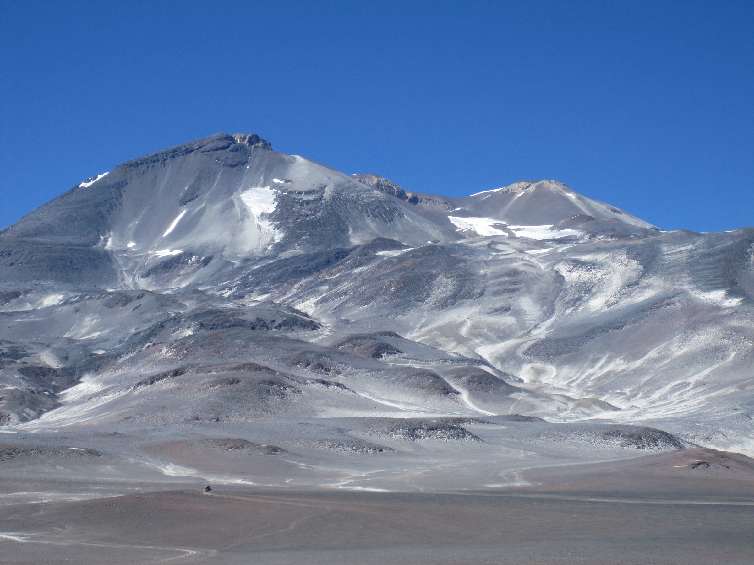
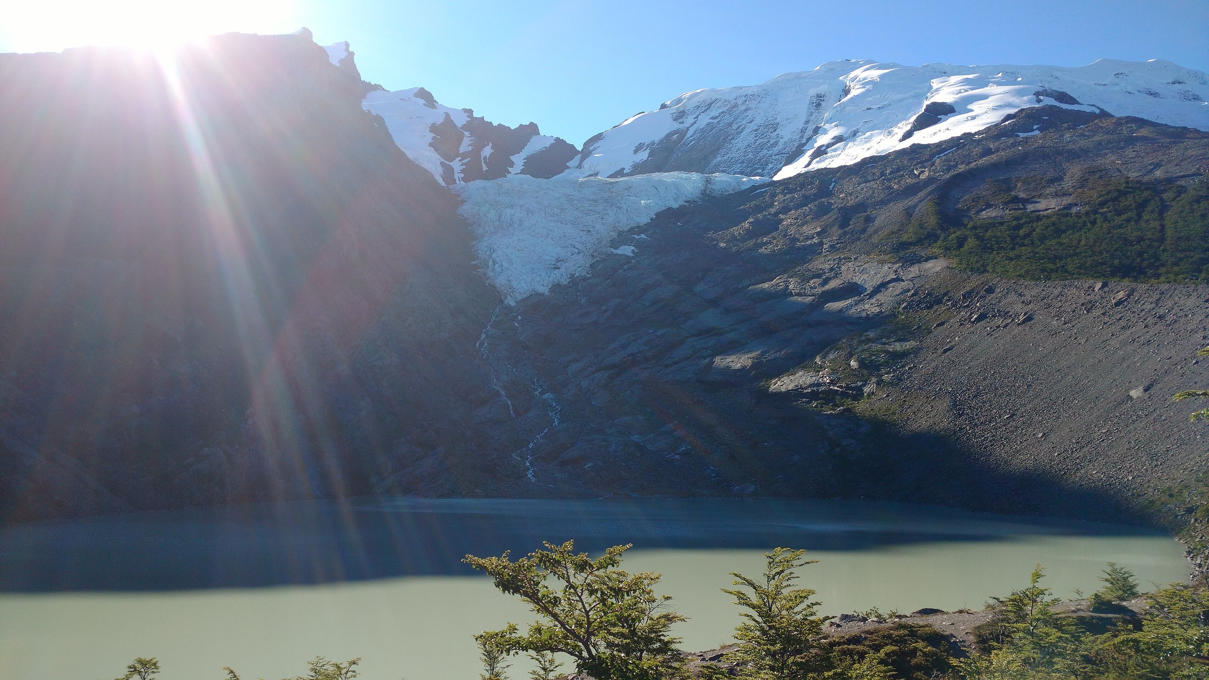
The route follows the Parque Arenas valley system toward Laguna El Morado and views of the hanging glacier. AllTrails describes a gradual but long climb through reddish and violet rock walls, vegas/wetlands and high Andean scenery, with condors possible overhead. The walk returns by the same valley line.
Why it is essential
This is the harder glacier-lake counterpart to the official El Morado trail: longer, higher and more committing, with one of the most striking high-mountain views reachable as a day hike from Cajon del Maipo.
Equipment
- High-Andes day kit: boots or firm mountain shoes, poles, windproof/warm layers, sun protection, sunglasses, gloves/hat.
- 2.5-3 litres of water, food, offline map/GPS and headtorch.
- In early/late season, carry traction only if conditions and skills justify continuing.
Hazards and notes
- Length, altitude, rocky sections, afternoon storms, snow/ice and private-park access uncertainty are the principal issues.
- Do not approach unstable glacier ice or climb onto moraine/ice features without proper mountaineering judgement.
GPX / KML links
| Source | URL | Format / access | Reuse status |
|---|---|---|---|
| AllTrails: El Morado Glacier | alltrails.com | Source map / route page | AllTrails terms apply; direct GPX not retrieved |
| OpenStreetMap search: Parque Arenas Glaciar El Morado | openstreetmap.org | Map / search | OSM data is ODbL; geometry cross-check only |
External links
3. Estero El Manzano

Snapshot
Itinerary
The route follows the Estero El Manzano drainage through sclerophyll forest and canyon terrain on the lower western side of Cajon del Maipo. AllTrails notes eight estero crossings and views of a less-visited face of the Cerro Ramon massif. The route returns by the same valley.
Why it is essential
Estero El Manzano gives the catalogue a lower-canyon, forest-and-water route rather than only glacial or open high-Andes objectives. It is one of the most recognized day hikes close to the Cajon’s urban edge.
Equipment
- Shoes that can handle wet crossings, poles, sun protection.
- 2 litres of water, food, offline map/GPS and a small first-aid kit.
- Spring crossings may require wading.
Hazards and notes
- Do not enter during heavy rain or exceptional thaw.
- Crossings, bees, heat and navigation at side tracks are the main ordinary issues.
- Access/parking arrangements should be checked locally before publication.
GPX / KML links
| Source | URL | Format / access | Reuse status |
|---|---|---|---|
| AllTrails: Estero El Manzano | alltrails.com | Source map / route page | AllTrails terms apply; direct GPX not retrieved |
| OpenStreetMap search: Estero El Manzano Cajon del Maipo | openstreetmap.org | Map / search | OSM data is ODbL; geometry cross-check only |
External links
4. Doble Cascada via Sendero Estero El Sauce
Snapshot
Itinerary
The route follows the Estero El Sauce edge to a double waterfall and natural pool, with foothill vegetation and Andean views. AllTrails notes a ticket/payment at a house near the start. Return by the same trail.
Why it is essential
This is the shorter waterfall entry in the Cajon set, complementing the longer glacier walks and giving a realistic half-day option with the valley’s ravine-and-water character.
Equipment
- Grippy shoes, water, sun protection, snacks, light layer.
- Offline map/GPS and dry storage if wading or swimming is allowed locally.
Hazards and notes
- Private access/payment, river crossings, slippery rock and flash runoff after storms are the issues to verify.
- Swimming access and camping should be treated as local-permission items, not assumed.
GPX / KML links
| Source | URL | Format / access | Reuse status |
|---|---|---|---|
| AllTrails: Doble Cascada via Sendero Estero El Sauce | alltrails.com | Source map / route page | AllTrails terms apply; direct GPX not retrieved |
| OpenStreetMap search: Estero El Sauce Cajon del Maipo | openstreetmap.org | Map / search | OSM data is ODbL; geometry cross-check only |
External links
- AllTrails — Doble Cascada via Sendero Estero El Sauce
- Wikipedia — Santuario de la naturaleza Cascada de las Animas
5. Cueva El Manzano
Snapshot
Itinerary
From the El Manzano area, the route climbs into dry foothill and rock country toward the cave/rock-formation sector. AllTrails describes wide Andean views, notable rock formations and likely condor sightings. The route returns by the same line.
Why it is essential
Cueva El Manzano adds the Cajon’s rock-and-condor character, distinct from the forested estero walks and the glacial valley hikes. It also represents the popular lower-Cajon hiking zone near El Manzano.
Equipment
- Grippy shoes, sun hat, sunscreen, 2 litres of water or more in heat, snacks, wind layer.
- Offline map/GPS and headtorch if exploring any cave entrance area.
- Climbing gear is not required for the hiking route but the area is also used for sport climbing.
Hazards and notes
- Loose dry slopes, heat, exposure near rock formations, informal side tracks and possible access/parking limitations are the main issues.
- Do not enter technical cave or climbing terrain unless separately equipped and permitted.
GPX / KML links
| Source | URL | Format / access | Reuse status |
|---|---|---|---|
| AllTrails: Cueva El Manzano | alltrails.com | Source map / route page | AllTrails terms apply; direct GPX not retrieved |
| OpenStreetMap search: Cueva El Manzano Cajon del Maipo | openstreetmap.org | Map / search | OSM data is ODbL; geometry cross-check only |
External links
External links
| Source | URL |
|---|---|
| AllTrails — San Francisco Glacier Trail | alltrails.com |
| AllTrails — El Morado Glacier | alltrails.com |
| AllTrails — Estero El Manzano | alltrails.com |
| AllTrails — Doble Cascada via Sendero Estero El Sauce | alltrails.com |
| AllTrails — Cueva El Manzano | alltrails.com |
| Pases Parques — El Morado | pasesparques.cl |
| Wikipedia — El Morado Natural Monument | en.wikipedia.org |
| Wikipedia — Cajon del Maipo | en.wikipedia.org |
| Wikipedia — Santuario de la naturaleza Cascada de las Animas | es.wikipedia.org |