Regional overview
The Sutton Mountains are a compact southern Québec Appalachian range in the Green Mountains system, centred on Parc d’environnement naturel de Sutton and the Réserve naturelle des Montagnes-Vertes. The hiking character is forested, rocky, and viewpoint-rich rather than alpine: lakes, ponds, ridges, summit lookouts, and protected reserve terrain.
The main trailhead is the park reception at 900 chemin Réal, Sutton. Because the range is compact, the essential day hikes naturally share this access point and use overlapping trail segments. Eastern Townships lists about 50 km of marked trails in the park network.
The usual hiking season is spring to autumn, though mud season, snowmelt, rain, and conservation closures can affect trails. Dogs are prohibited in the Green Mountains Nature Reserve, including Round Top and Dos d’Orignal sectors, even where individual third-party listings may be inconsistent.
Selection rationale
These five hikes represent the core Sutton walking network: the high point at Round Top, the rugged Dos d’Orignal ridge, the classic Lac Spruce loop, the longer Lake Mohawk route, and the full Circuit des Sommets panorama loop.
Summary table
| # | Hike | Country | Route type | Distance | Gain | Max elevation | Difficulty |
|---|---|---|---|---|---|---|---|
| 1 | Round Top Trail | Canada | Loop | 7.4 km | 448 m | 968 m | Difficult |
| 2 | Boucle du Dos d’Orignal | Canada | Loop | 7.3 km | 380 m | 810 m | Difficult |
| 3 | Boucle du Lac Spruce | Canada | Loop | 5.0 km | 230 m | 750 m | Intermediate |
| 4 | Lake Mohawk | Canada | Linear out-and-back | 12.0 km | 210 m | 732 m | Intermediate |
| 5 | Circuit des Sommets | Canada | Loop | 13.8 km | 448 m | 968 m | Difficult |
1. Round Top Trail
Snapshot
Itinerary
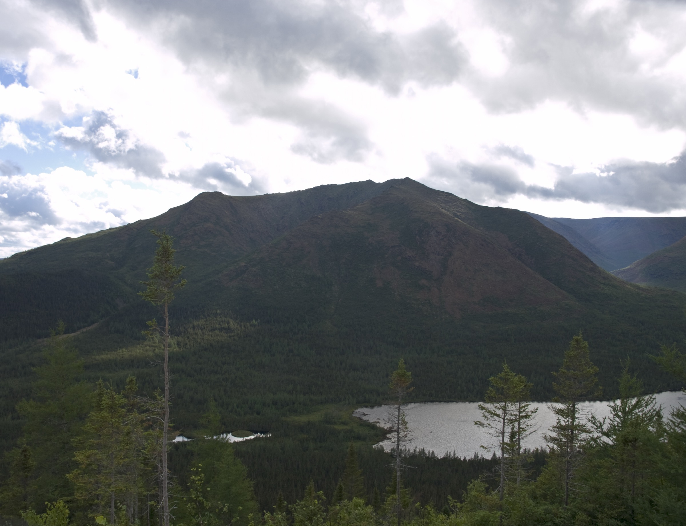
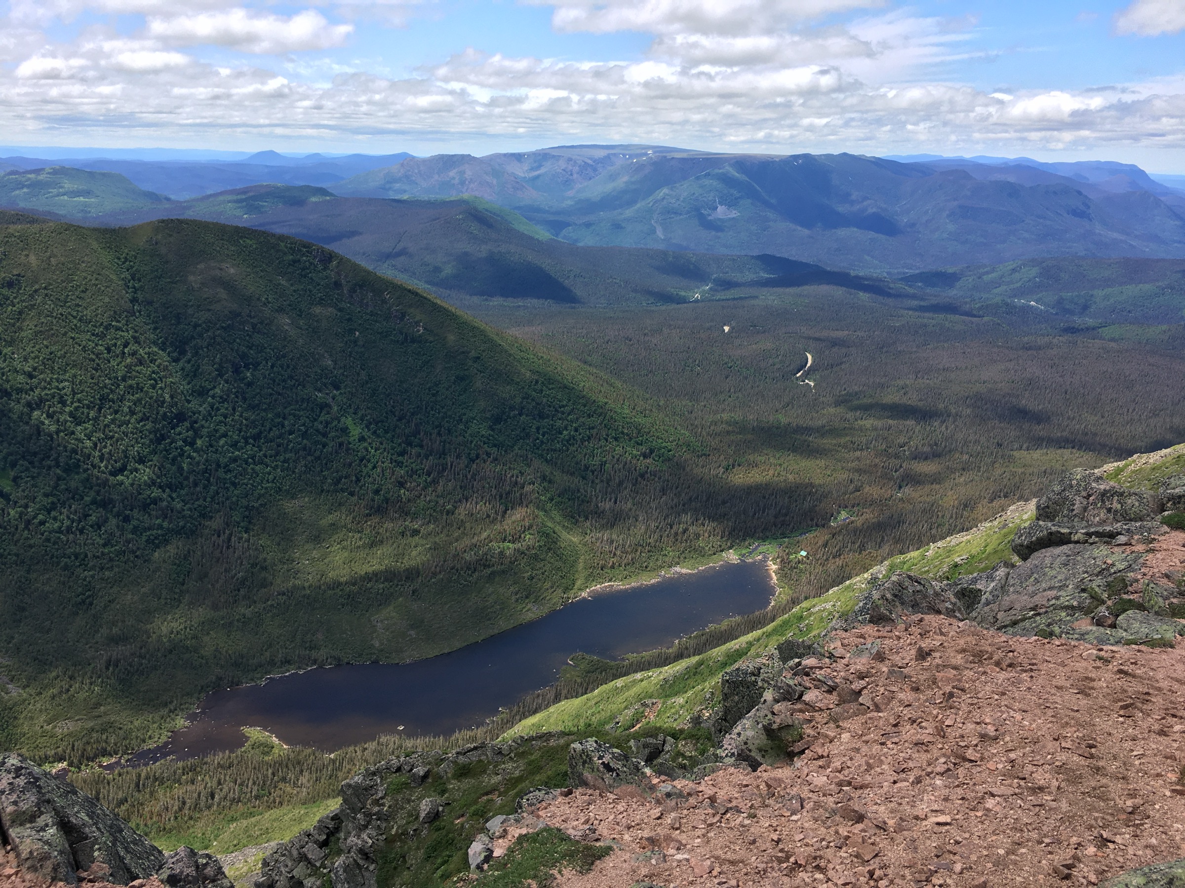
The loop climbs from the Sutton park reception through forest to Round Top, the highest point of the Sutton Mountains, then returns by the marked loop system. The summit area gives views toward the St. Lawrence plain, Monteregian Hills, Lake Champlain, and surrounding Appalachian ridges.
Why it is essential
Round Top is the range high point and the defining Sutton summit hike, with the strongest combination of elevation, protected-area context, and panoramic views.
Equipment
- Standard to mountain hiking equipment: hiking boots or shoes, water, food, waterproof layer, warm layer, map/GPS, and poles if desired.
- Traction may be needed outside snow-free conditions.
Hazards and notes
- Round Top is in sensitive reserve habitat.
- Dogs are prohibited in the reserve sector, and Bicknell’s thrush nesting restrictions may affect summit access in season.
- Wet rock and roots can make the descent slippery.
GPX / KML links
| Source | URL | Format / access | Reuse status |
|---|---|---|---|
| Eastern Townships: Round Top Trail | easterntownships.org | Official tourism trail page / source route | Website terms not fully checked; no GPX found |
| Trails Viewer: Round Top Sutton Trail | trails-viewer.com | Source-track candidate | Terms not fully checked; reuse unresolved |
External links
- Eastern Townships — Round Top Trail
- Parc d’environnement naturel de Sutton
- Trails Viewer — Round Top Sutton Trail
2. Boucle du Dos d’Orignal
Snapshot
Itinerary
The loop climbs from the park reception through Hollandais summit terrain toward the Dos d’Orignal viewpoint ridge, then descends by the marked loop trail.
Why it is essential
Dos d’Orignal is the main rugged ridge hike below Round Top and gives a more primitive-feeling Sutton route with steep climb and descent.
Equipment
- Standard to mountain hiking equipment: boots or hiking shoes with grip, water, food, waterproof layer, warm layer, map/GPS, and poles.
Hazards and notes
- Eastern Townships notes steep climb / descent and that the loop can become impassable during snowmelt or heavy rain.
- Dogs are prohibited in the reserve sector.
GPX / KML links
| Source | URL | Format / access | Reuse status |
|---|---|---|---|
| Eastern Townships: Boucle du Dos d’Orignal | easterntownships.org | Official tourism trail page / source route | Website terms not fully checked; no GPX found |
External links
3. Boucle du Lac Spruce

Snapshot
Itinerary
The loop climbs gradually from the reception area to Lac Spruce and associated ponds, then returns through the marked Sutton trail network.
Why it is essential
Lac Spruce is the classic shorter Sutton lake-and-forest hike and gives the selection a moderate route below the summit ridge objectives.
Equipment
- Standard hiking equipment: hiking shoes or boots, weatherproof layer, water, food, map/GPS, and sun / insect protection.
Hazards and notes
- Wet roots, mud, and slippery boardwalk or rock sections may occur after rain.
- Stay on marked trails around lake and wetland areas.
GPX / KML links
| Source | URL | Format / access | Reuse status |
|---|---|---|---|
| Eastern Townships: Boucle du Lac Spruce | easterntownships.org | Official tourism trail page / source route | Website terms not fully checked; no GPX found |
External links
4. Lake Mohawk
Snapshot
Itinerary
The route follows the Sutton trail network past Lac Spruce and toward Abénaki rock and Lake Mohawk before returning by the same general line through the park network.
Why it is essential
Lake Mohawk extends the Sutton lake-country experience into a longer half-day or day hike, complementing the shorter Lac Spruce loop and higher summit routes.
Equipment
- Standard hiking equipment: hiking shoes or boots, water, food, weatherproof layer, map/GPS, and sun / insect protection.
Hazards and notes
- The longer distance makes pacing and daylight more important than on the Lac Spruce loop.
- Wet roots and muddy sections may slow travel.
GPX / KML links
| Source | URL | Format / access | Reuse status |
|---|---|---|---|
| Eastern Townships: Lake Mohawk | easterntownships.org | Official tourism trail page / source route | Website terms not fully checked; no GPX found |
External links
5. Circuit des Sommets
Snapshot
Itinerary
The loop links the Sutton high points and ridge trails, including Hollandais, Dos d’Orignal, Passe de l’Ours, Nombril, Sentier de l’Estrie, and Round Top, before returning to the reception area.
Why it is essential
Circuit des Sommets is the most complete Sutton Mountains day hike, joining the main panoramic ridges into one long loop.
Equipment
- Mountain hiking equipment: boots, water, food, waterproof and warm layers, map/GPS, poles, and headtorch for delays.
Hazards and notes
- The route is long for the range and includes reserve-sensitive terrain.
- Dogs are strictly prohibited on this circuit.
- Wet weather, snowmelt, and closures can make parts of the loop unsuitable.
GPX / KML links
| Source | URL | Format / access | Reuse status |
|---|---|---|---|
| Eastern Townships: Circuit des Sommets | easterntownships.org | Official tourism trail page / source route | Website terms not fully checked; no GPX found |
| Parc d’environnement naturel de Sutton: suggested hikes | parcsutton.com | Official park source context | Terms not fully checked; GPX not found |
External links
Missing data / follow-up work
- No official downloadable GPX / KML files were found for the Sutton hikes in this pass.
- Trails Viewer provides a Round Top source-track candidate, but licence / reuse terms remain unresolved.
- Dos d’Orignal and Lake Mohawk still need hike-specific licence-compatible images.
- Current Bicknell’s thrush closures, dog restrictions, snowmelt closures, and wet-weather trail advisories should be checked before publication.
External links
| Source | URL |
|---|---|
| Parc d’environnement naturel de Sutton | parcsutton.com |
| Eastern Townships — Parc d’environnement naturel de Sutton | easterntownships.org |
| Eastern Townships — Round Top Trail | easterntownships.org |
| Eastern Townships — Boucle du Dos d’Orignal | easterntownships.org |
| Eastern Townships — Boucle du Lac Spruce | easterntownships.org |
| Eastern Townships — Lake Mohawk | easterntownships.org |
| Eastern Townships — Circuit des Sommets | easterntownships.org |
| Trails Viewer — Round Top Sutton Trail | trails-viewer.com |