Regional overview
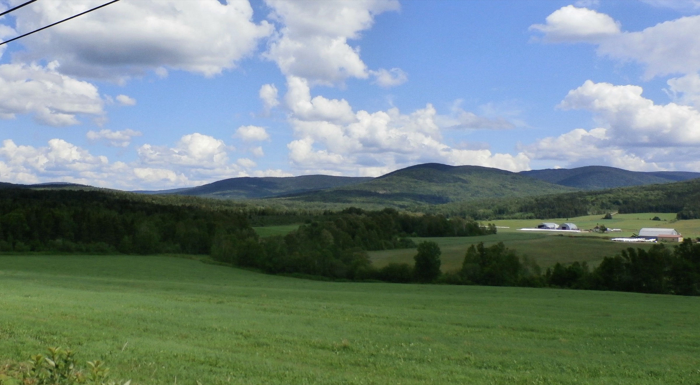
The Notre-Dame Mountains are the broad Québec Appalachian uplands running from the Eastern Townships and Chaudière-Appalaches toward the Bas-Saint-Laurent and Gaspé Peninsula. They are lower and more forested than the Chic-Chocs, but still include important summits, observatory peaks, coastal escarpments, lake viewpoints, and long wooded ridges.
The main day-hiking centres for this selection are Parc national du Mont-Mégantic, Mont Gosford near the Maine border, Parc régional du Massif du Sud, Parc national du Bic, and Parc national du Lac-Témiscouata. The region is less compact than the Chic-Chocs, so the five hikes are geographically distributed to represent the wider Notre-Dame range.
The usual hiking season is spring to autumn, but snow, mud, hunting-season restrictions, park opening dates, dog rules, and coastal tide timing can affect specific routes. Winter use may be possible on some trails but should be treated as a separate snowshoe or winter-hiking condition set.
Selection rationale
These five hikes balance the region’s main hiking identities: Mont-Mégantic’s high observatory summits, Mont Gosford’s border high point, Massif du Sud’s Mont Saint-Magloire, Bic’s coastal Appalachian escarpment, and Lac-Témiscouata’s shorter lake-and-mountain viewpoint trail.
Summary table
| # | Hike | Country | Route type | Distance | Gain | Max elevation | Difficulty |
|---|---|---|---|---|---|---|---|
| 1 | Les Trois-Sommets, Parc national du Mont-Mégantic | Canada | Loop | 15.8 km | approx. 525 m | 1,110 m | Difficult |
| 2 | Mont Gosford summit loop | Canada | Loop | 17.4 km | approx. 600 m | 1,193 m | Difficult |
| 3 | Mont Saint-Magloire, Massif du Sud | Canada | Out-and-back / loop variant | 13.9 km | 641 m | 915-917 m | Advanced / difficult |
| 4 | Le Pic-Champlain, Parc national du Bic | Canada | Out-and-back | 6.0 km | 229 m | 346 m | Intermediate |
| 5 | Montagne-du-Fourneau, Lac-Témiscouata | Canada | Loop | 5.5-5.8 km | approx. 188 m | approx. 370-380 m | Easy |
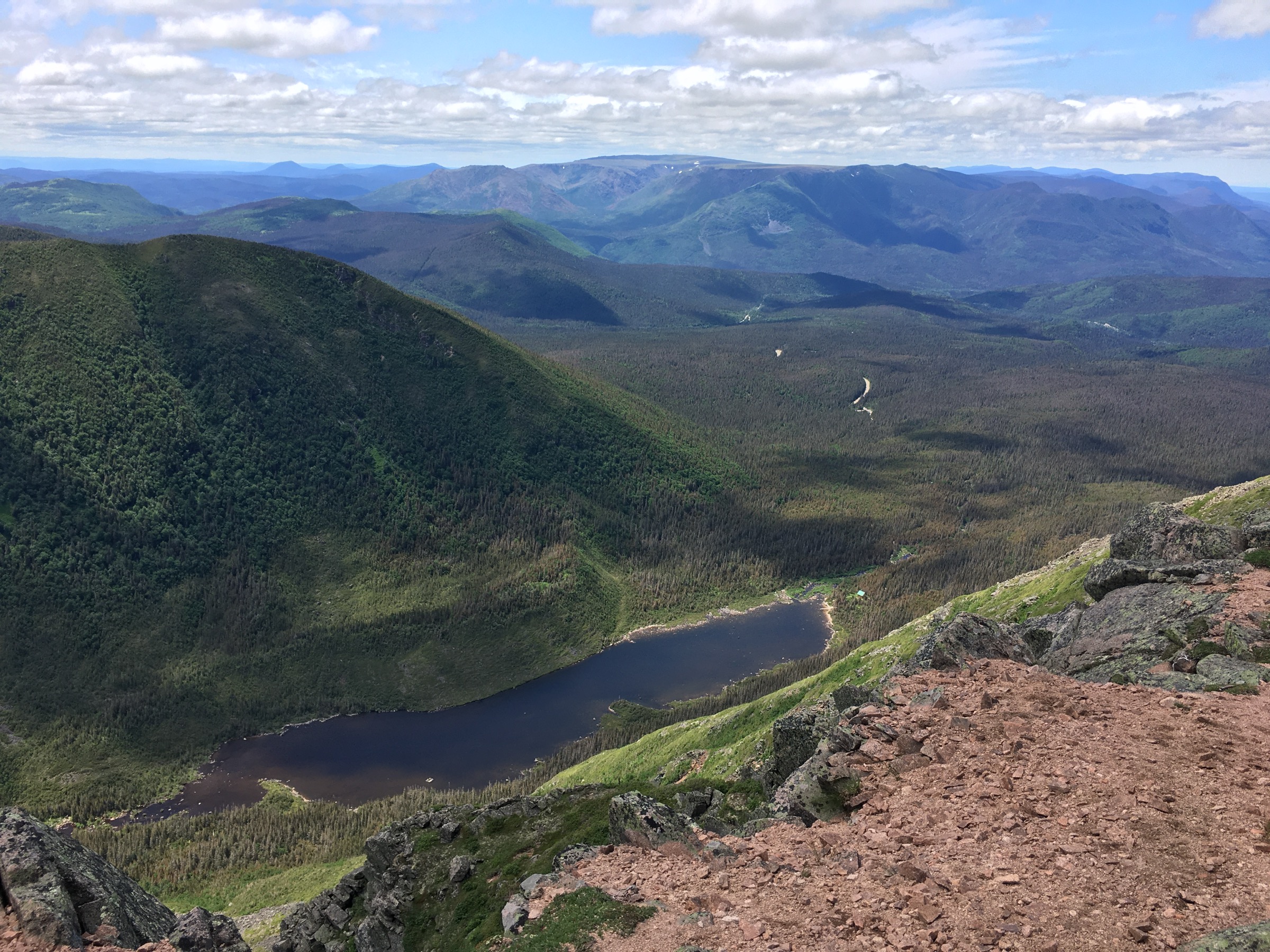
1. Les Trois-Sommets, Parc national du Mont-Mégantic
Snapshot
Itinerary
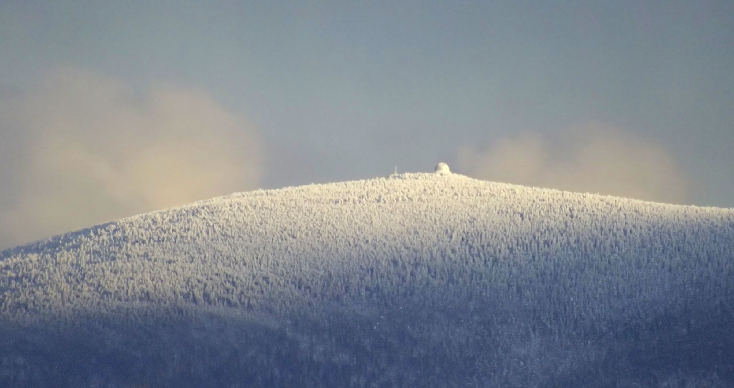
The route links Mont Saint-Joseph, Mont Victoria, and Mont Mégantic from the Observatory sector, forming a long high-level circuit through forested Appalachian summit terrain and observatory viewpoints.
Why it is essential
The most complete day-hike expression of the Mont-Mégantic massif, combining the park’s principal summits with one of southern Québec’s best-known mountain observatory landscapes.
Equipment
Boots, waterproof and warm layers, water, food, map/GPS, navigation backup, and poles. In shoulder seasons, carry traction if snow or ice remains.
Hazards and notes
The route is long and weather-sensitive for southern Québec. Sépaq dog permissions are route-specific and should not be assumed for the full loop. Observatory-sector access and park opening conditions should be checked before departure.
GPX / KML links
External links
- Sépaq — Parc national du Mont-Mégantic trail table
- Sépaq — Parc national du Mont-Mégantic visitor guide (PDF)
2. Mont Gosford summit loop
Snapshot
Itinerary
The route climbs from the Mont Gosford access area through forest to the summit tower/high point area, then returns by a loop or linked trail variant depending on current local trail conditions.
Why it is essential
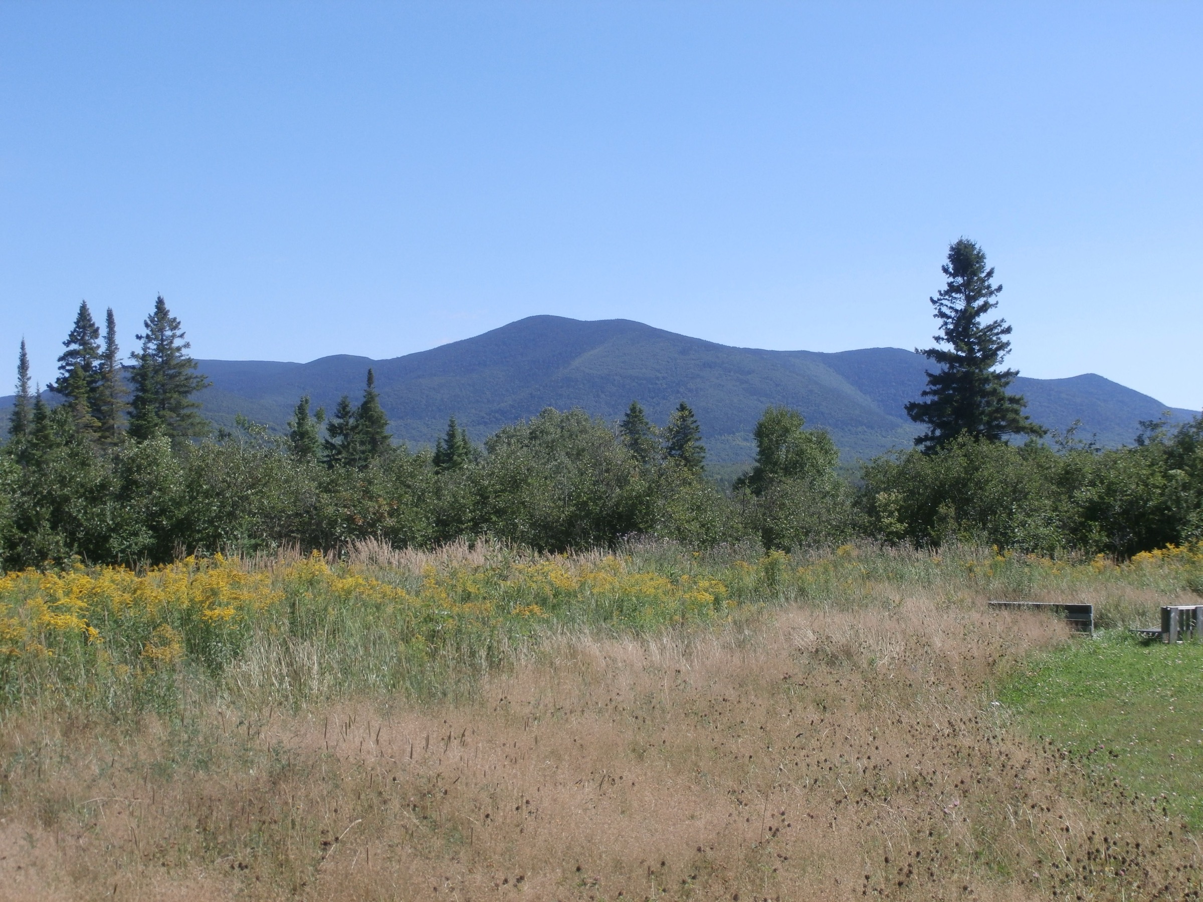
Mont Gosford is one of the highest and most prominent summits in southern Québec’s Notre-Dame / border highlands and is a natural counterpart to Mont-Mégantic in the regional selection.
Equipment
Boots, waterproof layer, warm layer, water, food, map/GPS, navigation backup, and poles. Tick protection is recommended in warm seasons.
Hazards and notes
Official operator-source confirmation remains needed. Border-area remoteness, weather, and seasonal access restrictions should be checked before publication.
GPX / KML links
| Source | URL | Format / access | Reuse status |
|---|---|---|---|
| Wikiloc — Mont Gosford loop candidate | wikiloc.com | Recorded track / GPS download candidate | Wikiloc terms apply; exact route page and reuse terms not fully checked |
External links
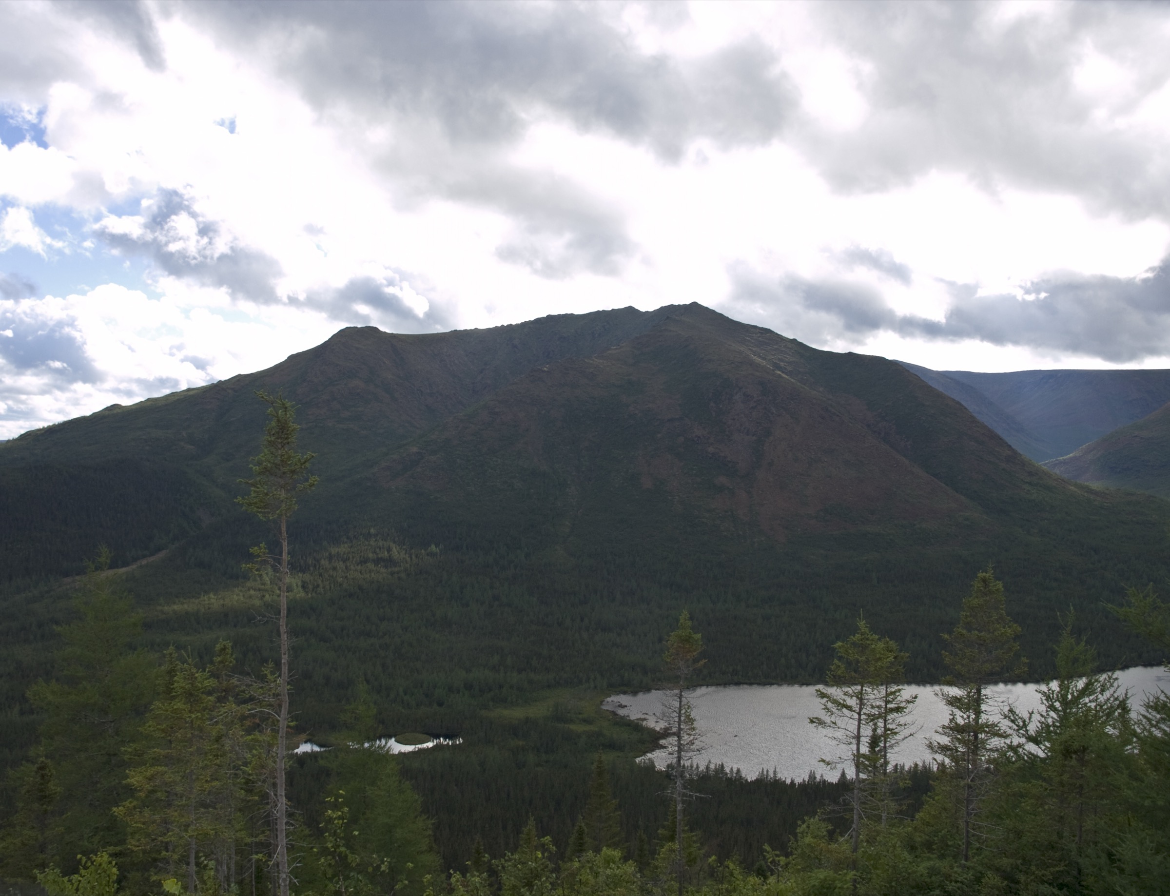
3. Mont Saint-Magloire, Massif du Sud
Snapshot
Itinerary
The hike climbs through the Massif du Sud forested mountain terrain toward Mont Saint-Magloire, the highest point in Chaudière-Appalaches, then returns by the selected marked route or loop variant.
Why it is essential
Mont Saint-Magloire is the defining high summit of Massif du Sud and represents the forested, rolling Notre-Dame Mountains east of the Eastern Townships.
Equipment
Boots, water, food, waterproof layer, warm layer, map/GPS, navigation backup, and poles. Insect and tick protection may be useful in warm seasons.
Hazards and notes
Route variants and official GPX availability require confirmation from the park/operator. Weather, wet roots, and forest navigation are the main issues.
GPX / KML links
| Source | URL | Format / access | Reuse status |
|---|---|---|---|
| Parc régional du Massif du Sud | massifdusud.com | Official/operator source | Terms not fully checked; no GPX verified |
| Tourisme Etchemins / Chaudière-Appalaches | tourismeetchemins.ca | Regional source context | Terms not fully checked; route-file reuse not confirmed |
External links
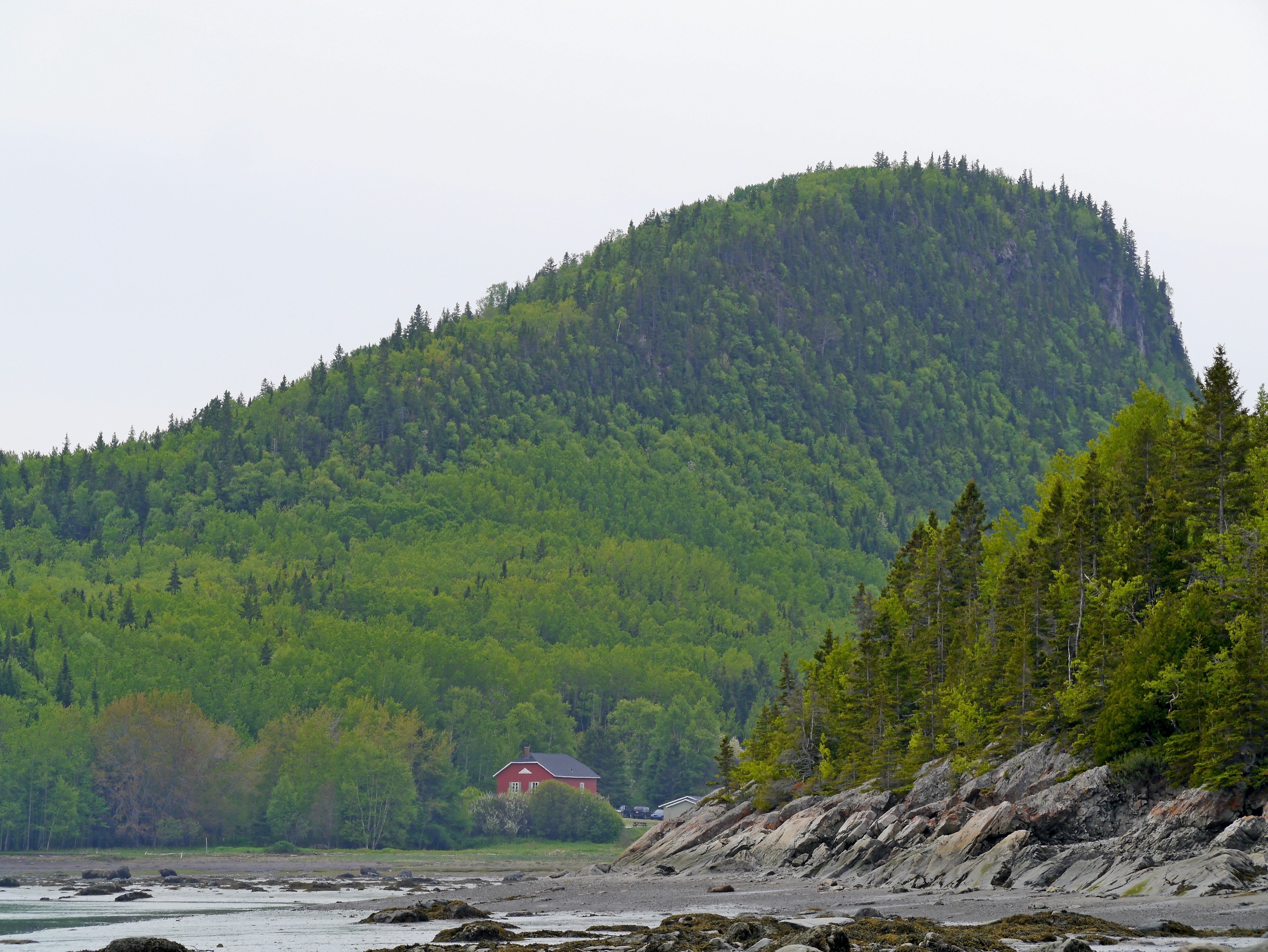
4. Le Pic-Champlain, Parc national du Bic
Snapshot
Itinerary
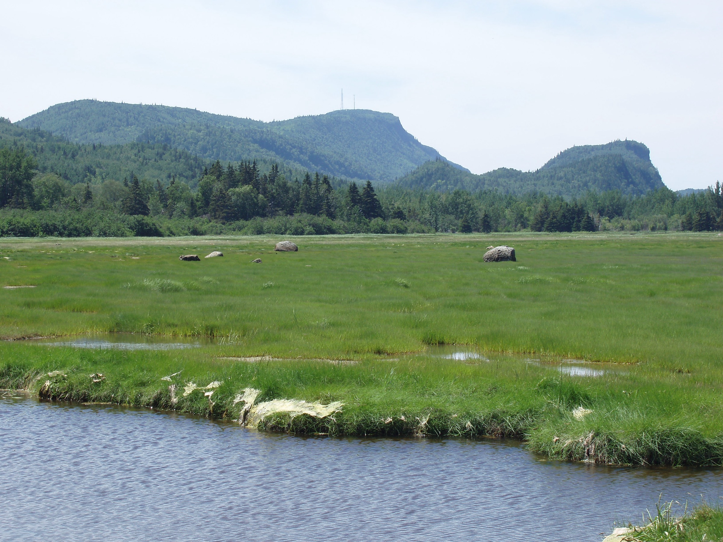
The route climbs from the Pic-Champlain parking lot to a viewpoint over the St. Lawrence estuary and the Appalachian countryside, then returns by the same marked trail.
Why it is essential
Pic-Champlain gives the Notre-Dame Mountains selection a coastal Appalachian escarpment hike, contrasting sharply with the inland forest summits.
Equipment
Hiking shoes or boots, weatherproof layer, water, food, sun protection, and map/GPS. Poles are optional.
Hazards and notes
Some Bic routes depend on tides, but Pic-Champlain itself is a mountain viewpoint route. Dog permissions are trail-specific and seasonal; check current Sépaq rules before departure.
GPX / KML links
External links
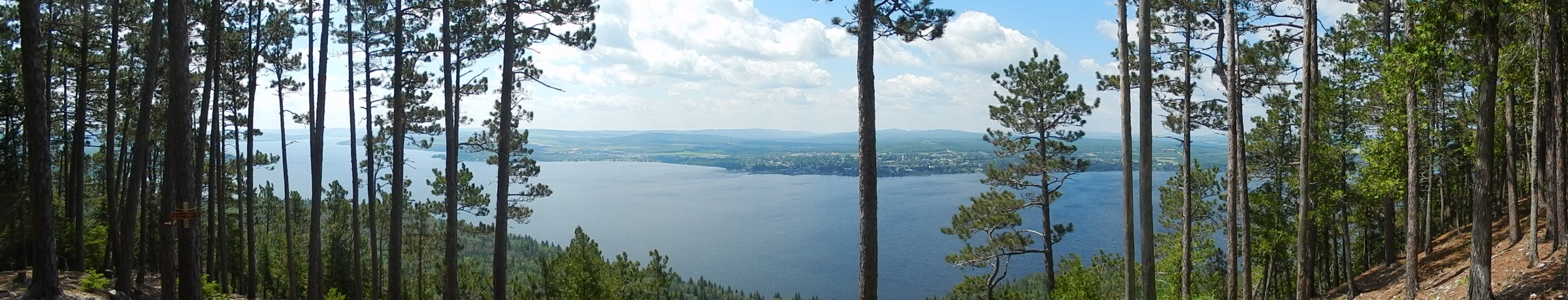
5. Montagne-du-Fourneau, Lac-Témiscouata
Snapshot
Itinerary
The loop climbs through forested terrain to Montagne-du-Fourneau viewpoints over Lac Témiscouata and the surrounding hills before descending back to the trailhead.
Why it is essential
The key short lake-and-mountain viewpoint hike in the Notre-Dame Mountains east of Bic, representing the Lac-Témiscouata section of the range.
Equipment
Hiking shoes, weatherproof layer, water, food, sun protection, and map/GPS. Tick protection may be useful in warm seasons.
Hazards and notes
The route is easier than the other Notre-Dame selections but still requires current park-condition checks. Distance and elevation differ slightly between source variants.
GPX / KML links
| Source | URL | Format / access | Reuse status |
|---|---|---|---|
| Sépaq — Parc national du Lac-Témiscouata | sepaq.com | Official park/trail context | Website terms not fully checked; no official GPX found |
| PleinAir à la Carte — Montagne du Fourneau | pleinairalacarte.com | GPS/source route candidate | Terms not fully checked; reuse unresolved |
External links
Missing data / follow-up work
- Mont Gosford needs direct official/operator confirmation, exact source route URL, and verified route-file terms.
- Mont Saint-Magloire route variant and GPX/source-map URL need confirmation from the park/operator.
- Licence-compatible photos were not verified for these five Notre-Dame hikes in this pass.
- Maximum elevations for Montagne-du-Fourneau and some route variants need authoritative confirmation.
- Seasonal restrictions, dog rules, tide-related Bic access for nearby routes, and park opening conditions require pre-publication checks.
External links
| Source | URL |
|---|---|
| Britannica — Notre-Dame Mountains | britannica.com |
| Sépaq — Parc national du Mont-Mégantic | sepaq.com |
| Sépaq — Parc national du Bic | sepaq.com |
| Sépaq — Parc national du Lac-Témiscouata | sepaq.com |
| Parc régional du Massif du Sud | massifdusud.com |
| Tourisme Etchemins / Chaudière-Appalaches | tourismeetchemins.ca |