Regional overview
The Vancouver Island Mountains form a rugged spine running roughly 280 km down the centre of the island, part of the Insular Mountains of British Columbia’s Western Cordillera. The range tops out at the Golden Hinde (2,195 m) deep inside Strathcona Provincial Park, with five other peaks above 2,000 m clustered around Buttle Lake and the Forbidden Plateau. South of Strathcona the range tapers through the Beaufort Range and culminates again in the Mt Arrowsmith Massif (Mt Arrowsmith 1,819 m) above Cameron Lake. Despite latitudes around 49–50 °N, heavy Pacific snowfall keeps the alpine zone under snow until July in most summers and into August in heavy years.
The principal hiking centres are the Paradise Meadows / Forbidden Plateau trailhead at Mt Washington (Strathcona’s busiest access, paved to the door), the Buttle Lake corridor on Highway 28 (Bedwell, Flower Ridge, Karst Creek), the Elk River Valley on the same highway between Campbell River and Gold River (Elk River Trail, Kings Peak), the historic Wood Mountain / old Forbidden Plateau ski-area road south of Courtenay (Mt Becher, Boston Ridge), and the gravel logging roads above Cameron Lake serving Mt Arrowsmith. Mt Cain, the Beaufort Range, and the Comox Glacier sit further afield with longer or rougher approaches.
Access for most hikes is by private vehicle. BC Ferries runs from Tsawwassen (Vancouver) to Nanaimo and Victoria and from Horseshoe Bay to Nanaimo; from there it is a 1.5–3-hour drive to the major trailheads. Many secondary access roads (Jim Mitchell Lake Road for Bedwell, Pass Main for Mt Arrowsmith, the upper portion of Forbidden Plateau Road) are active or recently active logging roads with potholes, washouts, and weekday closures; a high-clearance vehicle is recommended for several of them. There is no scheduled public transport to any of the trailheads listed below.
Safety issues specific to the range include lingering snow on north aspects and in cirques well into July, cornice and rotten-snow hazard on Mt Arrowsmith’s upper slopes in spring, cougars and black bears throughout (cougar incidents on Vancouver Island are statistically rare but the island has Canada’s highest density), poor cell coverage anywhere inside Strathcona, thick cloud and rapidly changing weather above treeline, and route-finding on bare alpine ridges where trail tread disappears. BC Search and Rescue identifies the Mt Albert Edward ridge as the second-busiest call-out location on Vancouver Island, almost entirely from people missing the cairned line back to Circlet Lake.
Selection rationale
The five hikes below cover the main sub-regions and terrain types that define the range: an iconic alpine summit at the heart of Strathcona’s Forbidden Plateau; a moderate valley walk into a glacial-cirque lake under Vancouver Island’s most impressive rock wall; an open subalpine ridge above Buttle Lake; the southern massif’s classic non-technical summit; and the historic plateau peak where Vancouver Island’s mountain recreation tradition began. All are non-technical in summer, fall within day-hike distance for fit parties, and are documented by BC Parks or the Strathcona Wilderness Institute.
Summary table
| # | Hike | Sub-region | Route type | Distance | Gain | Max elevation | Difficulty |
|---|---|---|---|---|---|---|---|
| 1 | Mount Albert Edward via Paradise Meadows | Strathcona — Forbidden Plateau | Out-and-back | ~31–32 km | ~1,250–1,650 m | 2,093 m | Strenuous |
| 2 | Elk River Trail to Landslide Lake | Strathcona — Elk River valley | Out-and-back | ~22 km | ~600 m | ~870 m | Moderate |
| 3 | Flower Ridge | Strathcona — Buttle Lake | Out-and-back | ~12–14 km | ~1,200–1,250 m | ~1,500 m | Strenuous |
| 4 | Mt Arrowsmith — Judges Route | Mt Arrowsmith Massif | Out-and-back | ~6–7 km | ~1,000 m | 1,819 m | Strenuous |
| 5 | Mt Becher via Wood Mountain | Strathcona — east plateau | Out-and-back | ~11–12 km | ~650–700 m | ~1,400 m | Moderate |
1. Mount Albert Edward via Paradise Meadows
Snapshot
Itinerary
The trail leaves the paved boardwalk at Paradise Meadows behind the Strathcona Wilderness Centre and crosses subalpine meadow and bog through Battleship Lake to Lake Helen Mackenzie (approx. 4.5 km, almost flat). The route skirts the east shore, climbs gently to Hairtrigger Lake, and continues to Circlet Lake (approx. 9.5–10 km from the trailhead, BC Parks designated campsite). From the Circlet Lake junction the marked trail ends and the maintained route begins: a steep climb of about 300 m up to the broad northeast ridge, then 4 km of mostly bare rock and heather walking south along the ridgeline to the summit. Aluminium marker posts now line the upper ridge after repeated search-and-rescue incidents involving descending hikers losing the line back into Circlet Lake. Return is by the same route.
Why it is essential
The most accessible summit above 2,000 m on Vancouver Island and the prototypical Strathcona alpine traverse: meadows, lakes, ridge and panoramic summit in a single outing. From the top the view stretches across the Golden Hinde and Elkhorn massif to the Coast Mountains and, on clear days, the Olympic Peninsula and Mt Baker.
Equipment
- Boots with ankle support and trekking poles.
- Layers for wind and cold on the exposed ridge.
- Map and compass or GPS — the upper ridge has no visible tread between cairns.
- 3+ litres of water; no reliable source above Circlet Lake.
- Headlamp; day-hike attempts routinely finish at dusk.
Hazards and notes
- Second-busiest SAR location on Vancouver Island; the critical hazard is misjudging the descent off the bare ridge and dropping into cliff bands flanking the Circlet basin.
- Carry the route file and verify the aluminium-post line.
- Random camping is prohibited between the trailhead and the summit; backcountry camping at Circlet Lake or Kwai Lake only, with park fees (CA$10/adult/night in 2024–25).
- No cell service; afternoon weather can close in quickly on the exposed ridge.
GPX / KML links
| Source | URL | Format / access | Reuse status |
|---|---|---|---|
| Strathcona Wilderness Institute (links to Gaia GPS) | strathconapark.org | GPX via Gaia | Reference only |
| Gaia GPS user route | gaiagps.com | GPX | Reference only |
| AllTrails | alltrails.com | Internal map; GPX requires membership | Reference only |
| OpenStreetMap | openstreetmap.org | OSM data | Free to reuse under ODbL with attribution |
External links
- BC Parks — Mount Albert Edward hiking route
- Strathcona Wilderness Institute — park maps and access
- Wikipedia — Mount Albert Edward (British Columbia)
- 10adventures — Mount Albert Edward
2. Elk River Trail to Landslide Lake
Snapshot
Itinerary
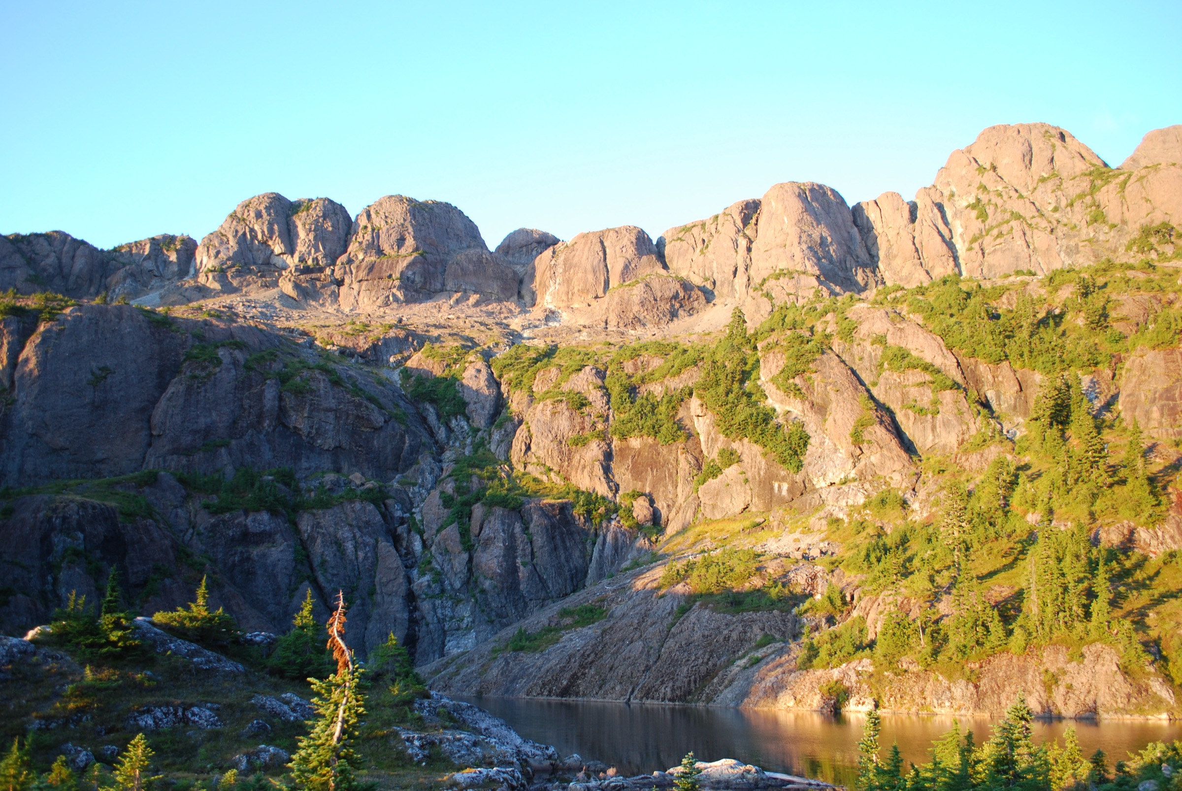
The trail leaves the highway pull-out and follows the north side of the Elk River through old-growth fir and cedar, gaining elevation gradually for the first 6 km to Butterwort Flats (designated camping). It continues up-valley over gravel bars and through avalanche-runout meadows to the upper gravel-bar campsite at about 9 km. Beyond, the trail leaves the valley floor and climbs steeply through boulder slopes for roughly 2 km to the lip of the Landslide Lake bench. The pale-blue lake sits directly beneath the 1,500-metre east face of Mt Colonel Foster, with Elkhorn Mountain on the north side. Return is by the same route; no camping is permitted at the lake.
Why it is essential
The most concentrated valley-to-cirque hike on the island, with continuous old-growth, accessible roadside trailhead, and an arrival view of one of Canada’s most dramatic alpine walls. Landslide Lake itself was formed by a rockslide triggered by the 1946 magnitude 7.3 Vancouver Island earthquake.
Equipment
- Boots, layers, and trekking poles for the final climb.
- 2+ litres of water; numerous streams along the valley but treat all surface water.
- Insect repellent in June–July.
Hazards and notes
- Bears use the valley; carry deterrents and store food in the campsite caches.
- The bouldery climb above the upper gravel bar can be slick in rain.
- Cooler weather can drop late-season hikers into freezing temperatures on the lake bench.
- Park fees apply at the designated campsites from 15 June – 30 September.
GPX / KML links
| Source | URL | Format / access | Reuse status |
|---|---|---|---|
| Strathcona Wilderness Institute | strathconapark.org | GPX via Gaia | Reference only |
| AllTrails | alltrails.com | Internal map | Reference only |
| OpenStreetMap | openstreetmap.org | OSM data | Free to reuse under ODbL with attribution |
External links
- BC Parks — Buttle Lake trails
- Strathcona Wilderness Institute
- MB Guiding — Elk River Trail
- besthike.com — Elk River Trail to Landslide Lake
3. Flower Ridge
Snapshot
Itinerary
From the small parking area on Buttle Lake Road the trail crosses the access culvert and begins climbing immediately. The first 5 km gain approximately 1,000 m through dense second-growth and old-growth forest, with few flat sections and no reliable water. The grade eases at about 1,300 m as the trail enters subalpine meadow and the first views open across Buttle Lake to Marble Peak. The ridge crest, reached at roughly 6–7 km, is a broad alpine plateau studded with tarns and wildflower benches — the source of the trail’s name. Strong parties continue south along the open ridge towards the Central Crags; most day-hikers turn around once the ridge is gained.
Why it is essential
The classic Vancouver Island ridge walk: the relentless climb pays out into one of Strathcona’s broadest alpine balconies, with continuous high-level views over Buttle Lake to Mt Myra and the central peaks.
Equipment
- Boots and trekking poles — poles essential for the descent.
- Full water carry; the trail has almost no reliable water below the ridge.
- Wind shell and sun protection on the ridge.
Hazards and notes
- The first 5 km is steep and root-tangled in places; descents are slow and hard on knees.
- The ridge is exposed to weather and lightning.
- Snow lingers into July on the upper trail.
GPX / KML links
| Source | URL | Format / access | Reuse status |
|---|---|---|---|
| Strathcona Wilderness Institute | strathconapark.org | GPX via Gaia | Reference only |
| Gaia GPS user route | gaiagps.com | GPX | Reference only |
| AllTrails | alltrails.com | Internal map | Reference only |
| OpenStreetMap | openstreetmap.org | OSM data | Free to reuse under ODbL with attribution |
External links
- BC Parks — Buttle Lake trails
- MB Guiding — Flower Ridge
- 10adventures — Flower Ridge
- besthike.com — Flower Ridge
4. Mt Arrowsmith — Judges Route
Snapshot
Itinerary
From the pull-out on Pass Main the route follows a short overgrown spur road, then enters timber on a rooted, eroded trail. The grade is steep almost from the start: the first 1.5 km climbs through forest with little respite, then breaks out into heather and bouldery alpine. The upper section threads a series of rocky steps and short scrambles up the south-east shoulder, with some exposure on the final rib to the summit cairn. The summit ridge is narrow but well-defined and offers a panorama from Port Alberni and Barkley Sound to the Olympics and Mt Baker.
Why it is essential
The highest summit in southern Vancouver Island and the obvious counterpart to Strathcona’s higher peaks. The Judges Route is the shortest non-technical line up the mountain and has been used as the hikers’ approach for decades.
Equipment
- Sturdy boots; helmet recommended for the scrambling sections.
- Trekking poles for the descent.
- Axe and microspikes if attempting before mid-July.
- Full water carry; no reliable source above the parking area.
- GPS or downloaded map.
Hazards and notes
- Light Class 2–3 scrambling with exposure on the upper third; not appropriate for inexperienced parties.
- Loose rock above tree line.
- Access roads (Cameron Main, Pass Main) are active logging roads — many are closed to public traffic Monday–Friday and may be subject to short-notice closures; check current signage before driving in.
- Trailhead is not signed from the highway.
GPX / KML links
| Source | URL | Format / access | Reuse status |
|---|---|---|---|
| Gaia GPS user route | gaiagps.com | GPX | Reference only |
| AllTrails | alltrails.com | Internal map | Reference only |
| 10adventures | 10adventures.com | Description and coordinates | Reference only |
| OpenStreetMap | openstreetmap.org | OSM data | Free to reuse under ODbL with attribution |
External links
- 10adventures — Mt Arrowsmith Judges Route
- West Coast Island Adventures — Mount Arrowsmith Judges Route
- PeakVisor — Mt Arrowsmith Massif Regional Park
- SummitPost — Mt Arrowsmith
5. Mt Becher via Wood Mountain (old Forbidden Plateau)

Snapshot
Itinerary
The trail leaves the dirt parking area beside the derelict concrete ski-lodge foundations and switchbacks up under the line of the old chairlift through second-growth fir. After about 1.5 km the gradient eases as the route crosses into Strathcona Provincial Park and onto the eastern lobe of the Forbidden Plateau, with several small lakes and tarns visible through the trees. The trail follows a broad meadowed ridge north-west, passing the marshy basin known historically as Mackenzie Lake, then climbs the final dome of Mt Becher itself. The summit is a low rounded high point with panoramic views east over the Comox Valley and Strait of Georgia, north to Mt Albert Edward, and south-west to the Comox Glacier. Return by the ascent line; strong parties can loop south via Boston Ridge for a longer day (~16 km).
Why it is essential
The historically defining hike of the Vancouver Island mountains. The first organised skiing on Vancouver Island in the 1920s involved trekking up from Bevan and over Mt Becher; the route to the original Mt Becher cabin predates Strathcona’s other recreational trails by decades. The Forbidden Plateau name itself originated here. The hike is also the shortest and most family-friendly summit on this list.
Equipment
- Standard day-hike kit: boots and layers.
- 2 litres of water; small streams along the meadows but treat all.
- Bug repellent into July.
Hazards and notes
- The first kilometre crosses old ski infrastructure with exposed concrete and metal — keep dogs on lead.
- Forbidden Plateau Road is generally passable to 2WD vehicles when dry; expect some washboard and potholes.
- The upper plateau is famously flat and confusing in cloud; carry a map.
- The Forbidden Plateau legend (a fabricated K’ómoks story attributed to a 1920s Courtenay engineer and newspaper publisher) is well documented as not being a real K’ómoks/Comox First Nation tradition; treat it as settler folklore rather than Indigenous oral history.
GPX / KML links
| Source | URL | Format / access | Reuse status |
|---|---|---|---|
| Strathcona Wilderness Institute | strathconapark.org | GPX via Gaia | Reference only |
| Gaia GPS user route (Mt Becher loop) | gaiagps.com | GPX | Reference only |
| AllTrails | alltrails.com | Internal map | Reference only |
| Trailforks | trailforks.com | GPX/segment data | Reference only |
| OpenStreetMap | openstreetmap.org | OSM data | Free to reuse under ODbL with attribution |
External links
- 10adventures — Mt Becher
- SummitPost — Mt Becher
- Island Mountain Ramblers — Boston Ridge and Mount Becher
- Wikipedia — Forbidden Plateau
Missing data / follow-up work
- No BC Parks Forbidden Plateau area page: Mt Becher’s distance and elevation stats are reconciled from third-party guides only and would benefit from a confirmed official figure.
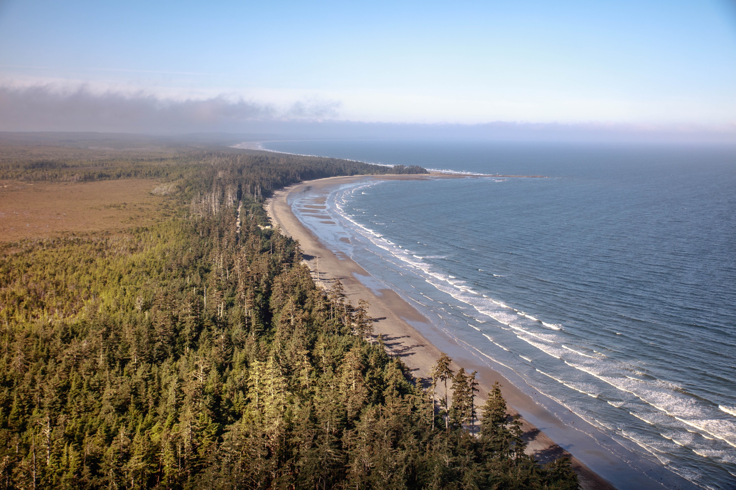
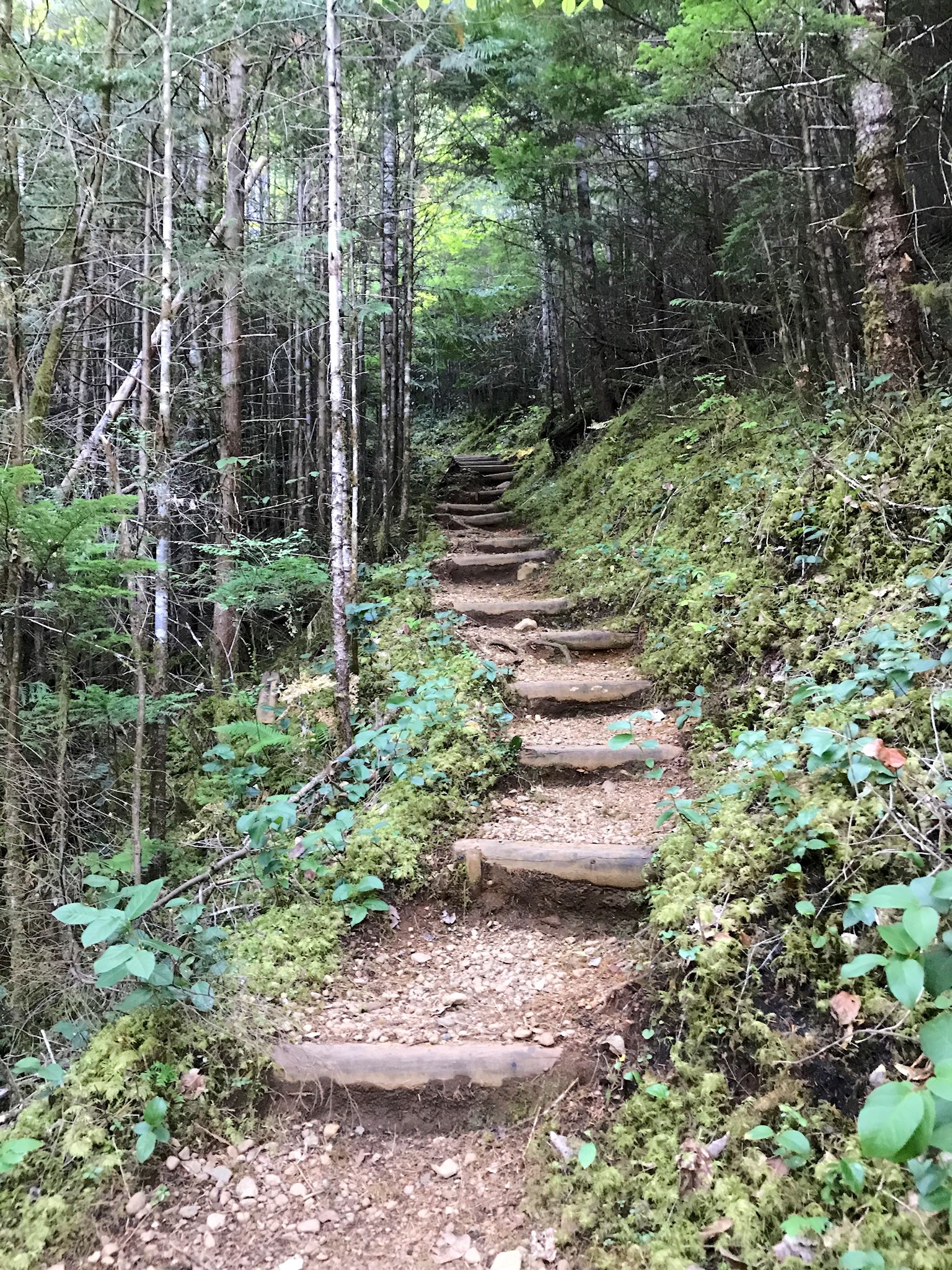
- No CC-licensed image of Mt Becher found on Commons or via Flickr CC search; the article uses a contextual Paradise Meadows stand-in.
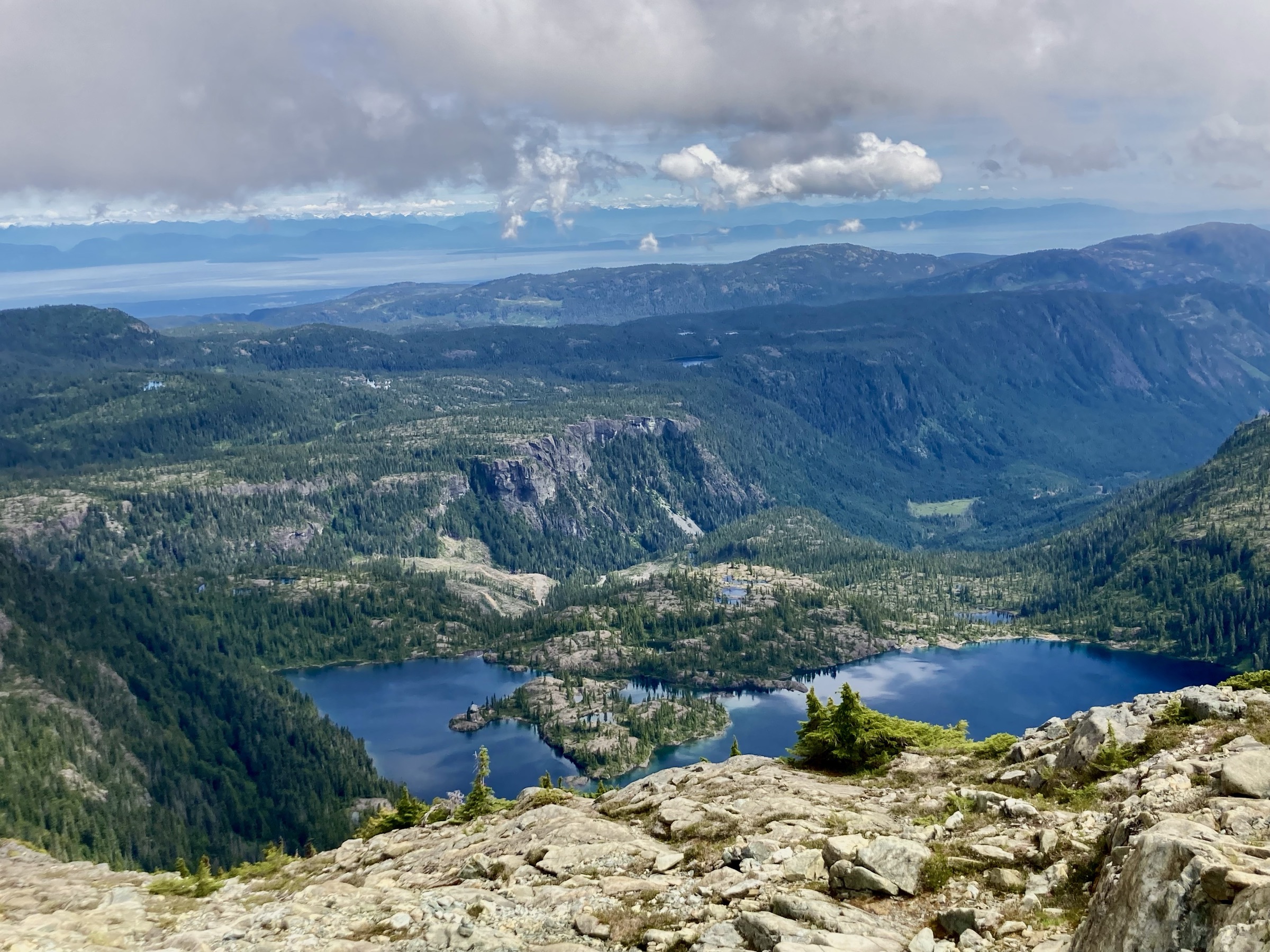
- No CC-licensed image of Landslide Lake or of the Elk River Trail (Vancouver Island) located on Wikimedia Commons in this pass — the only Commons hit named “Elk River Trail” depicts a different trail in North Carolina and has been excluded.
- GPX/KML data: BC Parks does not publish official GPX. OSM geometries exist for all five trails and are reusable under ODbL; could be exported via Overpass for a clean baseline.
- Mt Albert Edward elevation gain: sources disagree (BC Parks vs third-party guides report 1,250–1,650 m total). Worth a clean GPS track to reconcile.
- Mt Arrowsmith access: weekday closures on Cameron Main / Pass Main change year to year; confirm with Mosaic Forest Management before publication.
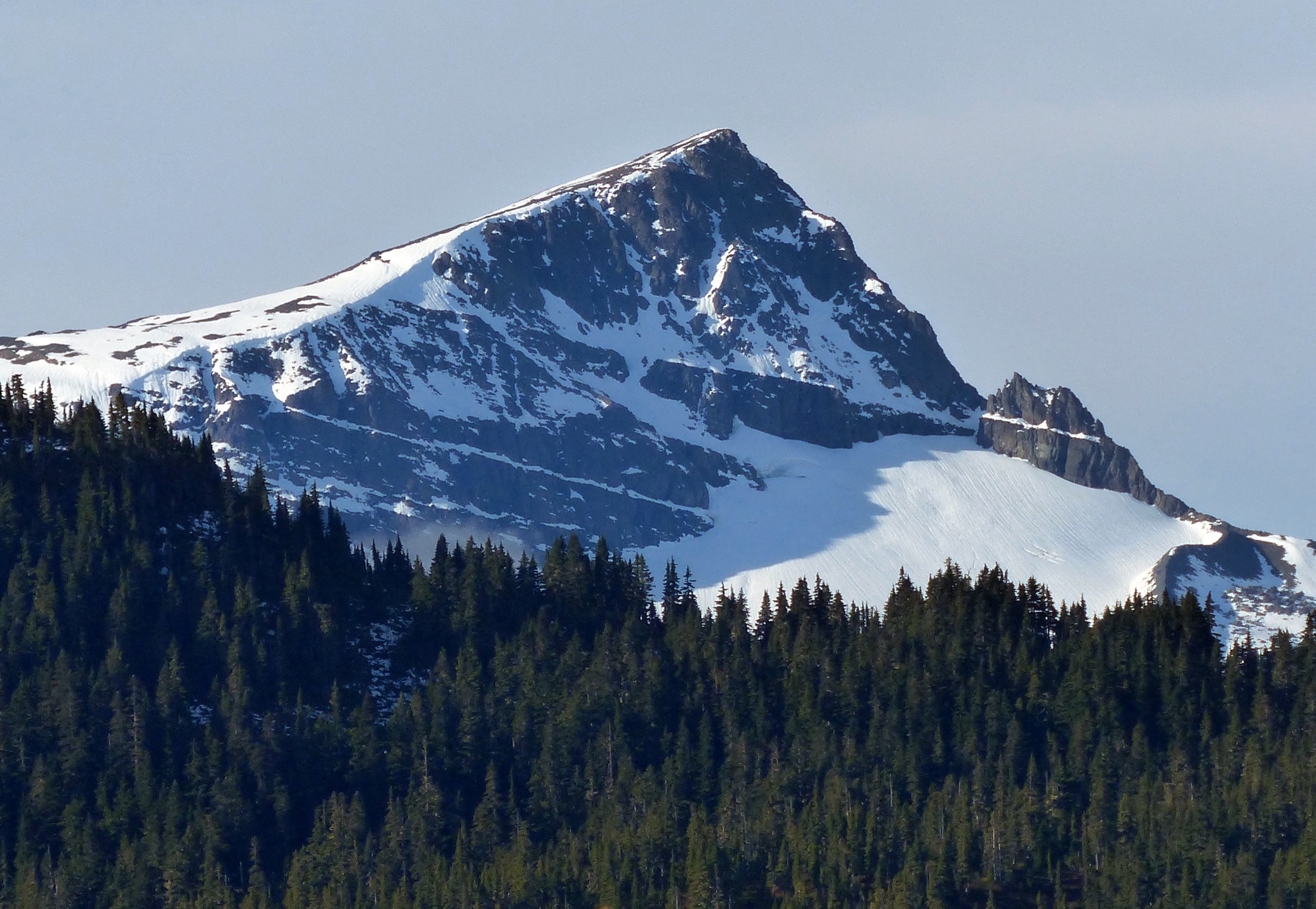
- Flower Ridge photo resolution: the best-licensed Commons images are 1,536–2,048 px, below the 2,400 px target.
- Cultural sourcing: the Forbidden Plateau “blood on the snow” legend is documented as a settler fabrication. The K’ómoks First Nation should be consulted directly for any Indigenous place-name or cultural information.
External links
| Source | URL |
|---|---|
| BC Parks — Strathcona Park overview | bcparks.ca |
| BC Parks — Buttle Lake trails | bcparks.ca |
| BC Parks — Mt Albert Edward hiking route | bcparks.ca |
| Strathcona Wilderness Institute | strathconapark.org |
| Vancouver Island.com — Strathcona Park | vancouverisland.com |
| 10adventures — Strathcona Park hub | 10adventures.com |
| AllTrails — Strathcona Park | alltrails.com |
| PeakVisor — Mt Arrowsmith Massif Regional Park | peakvisor.com |