Regional overview
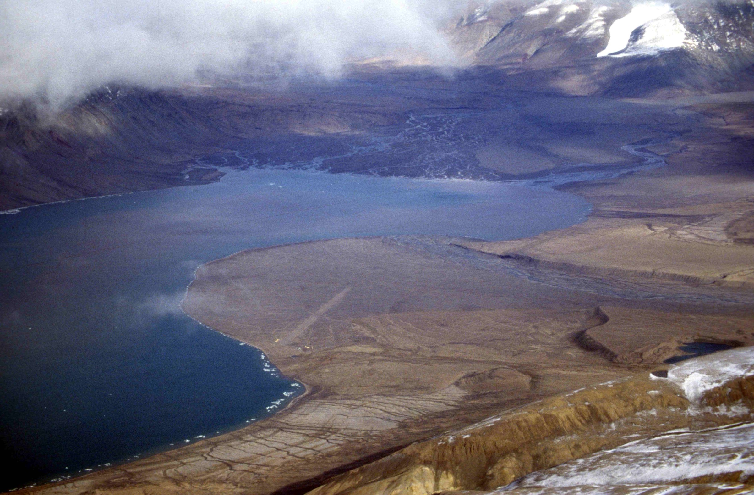
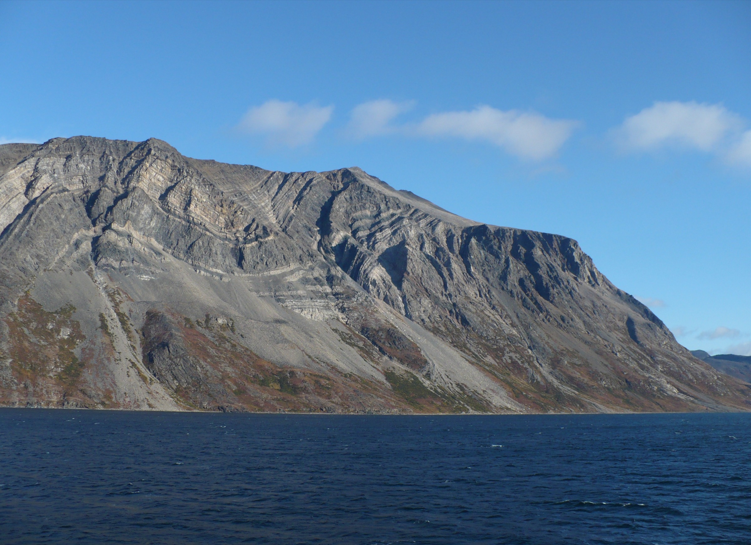
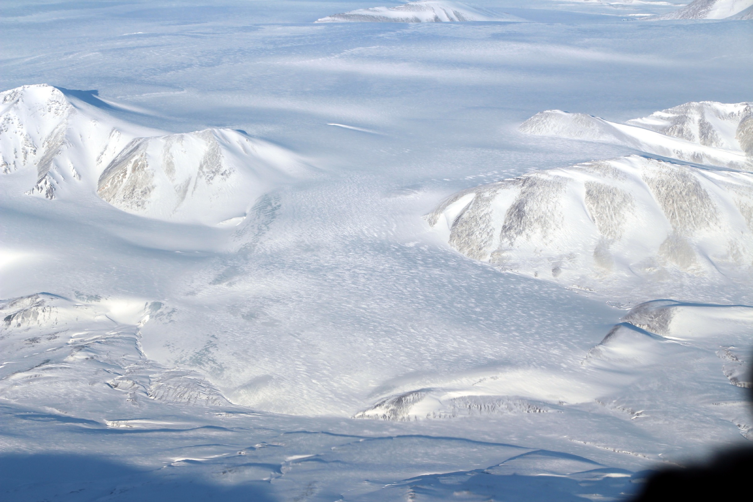
Axel Heiberg Island sits in the Sverdrup Islands group of the Queen Elizabeth Islands, around 600 km north-east of Resolute Bay (Nunavut). At roughly 43,178 km² it is the largest uninhabited island in the Canadian Arctic Archipelago and the second-largest in Nunavut. Its mountain country is dominated by the Princess Margaret Range — high point Outlook Peak, 2,210 m — running the length of the island, and by the Müller Ice Cap (~5,800 km²) and Steacie Ice Cap plateaux, from which dozens of named glaciers (White, Thompson, Iceberg, Crusoe, Baby, Wolf, Good Friday) descend to the deeply incised fiords of the east and west coasts. There is no national park, no settlement, no road, no airstrip outside the gravel landing strip at the McGill Arctic Research Station (MARS), no marked trail and no tourism infrastructure of any kind.
What appears in print as “hiking” on Axel Heiberg falls into three categories. First, scientific foot travel radiating out from the McGill Arctic Research Station at Expedition Fiord (79.4333° N, 90.7667° W), in operation since 1959 and one of the longest-running High Arctic field stations in the world — walks to the White Glacier moraines (the subject of the longest continuous mass-balance record of any Canadian Arctic glacier, since 1960), to Colour Lake and the Colour Peak perennial cold springs, and to the Lost Hammer Spring (an astrobiology Mars-analogue site funded principally by NASA, ~10 km west of MARS). Second, helicopter-supported shore excursions from expedition cruise ships, principally Quark Expeditions’ Ultramarine on its “Canada’s Remote Arctic: Northwest Passage to Ellesmere and Axel Heiberg Islands” itinerary, landing at variable, season-dependent sites along the western glaciated coast and the Strand Fiord basin. Third, multi-week unsupported foot or ski-and-sled traverses by veteran Arctic mountaineers, and the single commercial 12-night base-camp expedition operated by Black Feather between Strand Fiord and Expedition Fiord. None of the three categories constitutes a day-hike in the conventional sense.
The walkable season is mid-June to mid-August. The land is in 24-hour daylight from mid-April to late August; magnetic compasses are unreliable across the entire archipelago, and GPS-based navigation is mandatory (sun-compass technique is the recognised non-electronic backup). Principal hazards are weather (whiteout, ground blizzard, hypothermia), the proglacial rivers around MARS (the Expedition River system in particular), polar bears (low encounter probability but possible anywhere including on glaciers), and the absolute remoteness — the nearest medical evacuation is a chartered Twin Otter from Resolute, around two hours one way and weather-dependent. All visitors require an Iridium satellite phone (Globalstar and SPOT do not function reliably at this latitude), a registered 406 MHz PLB or InReach, and a comprehensive evacuation insurance policy. Bear spray is prohibited on scheduled flights; deterrents must be sourced or shipped separately.
Access is chartered Twin Otter from Resolute Bay (CYRB) via Kenn Borek Air, supported in research contexts by the federal Polar Continental Shelf Program (PCSP) and its Resolute hub. There is no Parks Canada permit (no park); research visits require a Nunavut Research Institute Scientific Research Licence, and any wildlife observation or handling, archaeological work or cultural-resources interaction requires permits from the Government of Nunavut Department of Environment and from the Inuit Heritage Trust.
Selection rationale
Five essential day-hikes cannot be honestly identified on Axel Heiberg Island. This page exists for completeness and is framed truthfully: there are no marked trails, no published trailheads, no signed routes, no Parks Canada or other authority publishing walking distances and times, and no public GPX repository. What follows is the largest defensible list — four candidate walks, all clearly tagged as research-station-adjacent or cruise-ship heli-landing excursions rather than trails — plus two honourable mentions (the Black Feather basecamp expedition and the Geodetic Hills Fossil Forest) included for context. Every candidate below is labelled Candidate only. None has a published distance, gain or time figure that survives third-party verification; the figures given are honest estimates derived from station coordinates, glacier geography and trip-report descriptions, and are marked as such.
Summary table
| # | Walk | Country | Route type | Distance | Gain | Max elevation | Difficulty |
|---|---|---|---|---|---|---|---|
| 1 | MARS to White Glacier toe and moraine | Canada | Out-and-back | ~4–8 km (est.) | <100 m (est.) | ~150 m | Candidate only |
| 2 | MARS to Colour Lake and Colour Peak springs | Canada | Loop / out-and-back | <5 km (est.) | <100 m (est.) | ~100 m | Candidate only |
| 3 | CSA satellite camp to Lost Hammer Spring | Canada | Out-and-back | ~1–10 km (est.) | Negligible | ~80 m | Candidate only |
| 4 | Quark Ultramarine helicopter-landing shore walks | Canada | Variable, opportunistic | <1 km typical | Negligible | Variable | Candidate only |
Honourable mentions (not day-hikes; documented for context below): the Black Feather Axel Heiberg Trek — the only commercial hiking product for the island, 12 nights camping plus 3 in Resolute between Strand Fiord and Expedition Fiord — and the Geodetic Hills Fossil Forest, an in-situ Eocene tree-stump site realistically reached by helicopter from CFS Eureka.
1. MARS to White Glacier toe and moraine
Snapshot
Itinerary
From the MARS huts at the head of Expedition Fiord — the station sits beside Colour Lake, close to the snouts of the Baby, White and Thompson glaciers — an unmaintained walking line follows the braided outwash of the Expedition River system upstream onto the lateral moraine of the White Glacier. White Glacier itself is roughly 14–15 km long, descending from ~1,750 m on the Müller Ice Cap to ~80 m at its terminus, and is the site of the longest continuous mass-balance record of any Canadian Arctic glacier (since 1960). The walking objective is the lateral moraine crest above the toe; no route is signed, no distance is published, and the proglacial river complex changes route year-to-year.
Why it would be essential
The most visited, most studied walking destination on Axel Heiberg Island. The White Glacier is the type-locality for High Arctic glacier mass-balance science, with annually published stake measurements appearing in the Fluctuations of Glaciers record since the 1960s. For any visitor with a legitimate reason to be at MARS, the White Glacier moraine is the first and most obvious walk.
Equipment
- Mountain hiking boots
- Neoprene wading socks or wading boots for the proglacial river crossings
- Trekking poles
- Helmet if approaching the toe itself (calving rockfall and ice)
- Full warm and waterproof layer system
- Bear deterrent (issued at MARS where available)
- Iridium sat phone and registered InReach or 406 MHz PLB
- GPS — magnetic compasses are unreliable
- Do not step onto the glacier itself without crevasse rescue training and rope team
Hazards and notes
The Expedition River and its braid plain are the principal hazard — meltwater pulses through the day and the channels move; the safe crossing time is the early morning cold window. Crevasses on the glacier tongue. Polar bear encounters possible. No marked route. Access in practice requires a Nunavut Research Institute Scientific Research Licence and MARS bunkspace reservation.
GPX / KML links
| Source | URL | Format | Notes |
|---|---|---|---|
| SwissEduc — Glaciers Online — White Glacier, Axel Heiberg | swisseduc.ch | Photo and map archive | Educational use only; not Creative Commons |
| World Glacier Monitoring Service — White Glacier 1:10,000 (1964) | wgms.ch | Reference map; no GPX exists | |
| OpenStreetMap | openstreetmap.org | OSM data | ODbL; only the MARS coordinates |
Sources
- McGill Arctic Research Station (Wikipedia)
- SwissEduc — White Glacier, Axel Heiberg
- Cogley, J.G., Adams, W.P., Ecclestone, M.A., Jung-Rothenhäusler, F., and Ommanney, C.S.L. — “Mass balance of White Glacier, Axel Heiberg Island, N.W.T., Canada, 1960–91” (Journal of Glaciology)
- Haumann & Honegger 1:10,000 White Glacier map (1964)
2. MARS to Colour Lake and Colour Peak springs
Snapshot
Itinerary
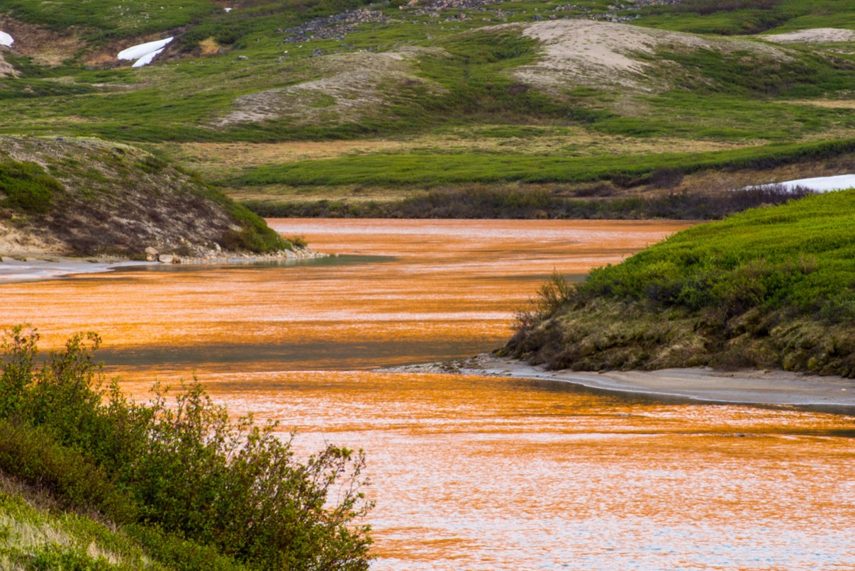
The MARS huts sit beside Colour Lake, a small lake with a documented sedimentological record. The “Colour Peak springs” are perennial cold springs documented in Dale Andersen’s astrobiology field reports. An unmaintained walking line circuits the lake and ascends a low ridge towards the springs. No route is signed and no distance is published — the walk effectively starts at the station door.
Why it would be essential
The single nearest documented walking objective from MARS, and the easiest to combine with a half-day of fieldwork. Of interest to anyone visiting the station; not, in any meaningful sense, “essential” for the wider visitor.
Equipment
- Sturdy boots
- Warm and waterproof layers
- Hat and gloves
- 1.5 L water
- Bear deterrent
- Iridium sat phone or InReach
- GPS (compasses unreliable)
Hazards and notes
Cold-spring outflows can be slippery and supersaturated; do not drink. Polar bear encounters possible. No marked route.
GPX / KML links
| Source | URL | Format | Notes |
|---|---|---|---|
| Dale Andersen — Colour Peak springs photo report (2009) | astrobiology.com | Photo report | Per-image permission required |
| OpenStreetMap | openstreetmap.org | OSM data | ODbL; no trail geometry |
Sources
- Dale Andersen — Colour Peak springs photo report
- Inquiry@Queen’s — “A Detailed Sedimentological Analysis of Colour Lake, Axel Heiberg Island” (Queen’s University thesis archive)
3. CSA satellite camp to Lost Hammer Spring
Snapshot
Itinerary
Lost Hammer Spring is a perennial sub-zero saline spring system on western Axel Heiberg, recognised by NASA as one of the closest terrestrial analogues to potential briny springs on Mars. Foot access is recorded from two starting points: the Canadian Space Agency’s seasonal astrobiology field camp around 10 km west of MARS, with a walking approach of ~1 km to the outflow; and a Twin Otter fiord-ice drop in years where landing-snow conditions are inadequate, with a recorded 8–10 km walk in from the fiord. Dale Andersen’s field reports describe the spring as “about half an hour’s hike from the McGill Arctic Research Station” — likely from the satellite camp rather than MARS proper.
Why it would be essential
A globally significant astrobiology site. For any researcher visiting Axel Heiberg, Lost Hammer is one of the canonical destinations.
Equipment
- Mountain hiking boots
- Full warm and waterproof layers
- Bear deterrent
- Iridium sat phone and InReach
- GPS (compasses unreliable)
- Sample-collection protocol gear if working on contract; otherwise do not disturb the spring outflow surfaces
Hazards and notes
Saline spring outflows freeze unpredictably, and the ground around them is hazardous in summer (slumping mud). Polar bear encounters possible. Access in practice limited to permitted research personnel.
GPX / KML links
| Source | URL | Format | Notes |
|---|---|---|---|
| Pollard et al. — Perennial spring occurrence (Expedition Fiord) | cdnsciencepub.com | Journal article | Coordinates of springs published; no walking route |
| EurekAlert — Lost Hammer Spring press image | eurekalert.org | Press image | Per-image clearance required |
Sources
- Pollard, W.H. et al. — Perennial spring occurrence in the Expedition Fiord area of western Axel Heiberg Island
- Dale Andersen — Axel Heiberg astrobiology field report
- Niederberger, T.D., Perreault, N.N., Tille, S., Lollar, B.S., Lacrampe-Couloume, G., Andersen, D., Greer, C.W., Pollard, W., and Whyte, L.G. — “Microbial characterization of a subzero, hypersaline methane seep in the Canadian High Arctic” (Lost Hammer)
4. Quark Ultramarine helicopter-landing shore walks
Snapshot
Itinerary
Quark Expeditions’ Ultramarine (launched 2021) carries two onboard H145 helicopters whose stated purpose is to land passengers at sites the operator could not otherwise reach for shore excursions — primarily on the western glaciated coast and around Strand Fiord, where Zodiac landings are blocked by ice. Specific landing sites are not pre-advertised; the published itinerary states that the goal is to visit “as many incredible highlights as the season allows.” Once on the ground, the typical walk is a slow, expedition-staff-led, rifle-escorted tundra circuit of well under 1 km duration, with a full ship-crew safety perimeter.
Why it would be essential
For the small number of cruise visitors who reach Axel Heiberg in any given year, the heli-landing is the only practical way to set foot on the island. No other commercial product offers Axel Heiberg shore visits at this scale.
Equipment
Provided or required by the operator: insulated waterproof boots, full polar layer system, life-jacket for boat transfer. Visitors do not normally carry their own bear deterrent — expedition staff handle protection. No independent navigation kit required.
Hazards and notes
Polar bear encounters are managed by armed expedition staff. Weather can curtail or cancel landings at no notice. Conservation rules limit the walking corridor and behaviour. No marked routes; no published distances.
GPX / KML links
None published; landings are opportunistic and the operator does not release per-landing-site geometry.
Sources
- Quark Expeditions — The Ultramarine soars above Axel Heiberg Island (press release, 2024)
- Quark Expeditions — Canada’s Remote Arctic: Northwest Passage to Ellesmere and Axel Heiberg Islands
Honourable mentions — not day-hikes, but the only other walking on the island
Black Feather Axel Heiberg Trek. The only commercial hiking product for the island: a 12-night camping expedition (plus three nights in Resolute) operating a base-camp traverse between Strand Fiord and Expedition Fiord, with a 5:1 guide ratio. Daily distances are not published. The public trip page describes “guided day hikes along Macdonald River Valley or coastline” radiating out from the basecamp; a detailed itinerary request to Black Feather would close the route-data gap. See blackfeather.com.
Geodetic Hills Fossil Forest (79°48′37″ N, 89°59′01″ W). A globally significant in-situ Eocene tree-stump site preserving 38-million-year-old wood — a single helicopter destination of around 20 minutes’ flight from CFS Eureka. There is no published foot route, and the realistic mode of access is the helicopter. Nunavut’s “Napaaqtulik” territorial-park proposal for the area remains unresolved as of mid-2026. See Wikimedia Commons — Category:Fossil Forest.
External links
| Source | URL |
|---|---|
| McGill Arctic Research Station (Wikipedia) | en.wikipedia.org |
| McGill University — Geographic and geological field stations | mcgill.ca |
| Polar Continental Shelf Program (PCSP) | natural-resources.canada.ca |
| Nunavut Research Institute — Research Licence application | nri.nu.ca |
| Geological Survey of Canada / GEOSCAN — Expedition Fiord and Strand Fiord geology | osdp-psdo.canada.ca |
| SwissEduc — Glaciers Online — Axel Heiberg index | swisseduc.ch |
| World Glacier Monitoring Service — White Glacier 1:10,000 map (1964) | wgms.ch |
| Pollard et al. — Perennial spring occurrence (Expedition Fiord) | cdnsciencepub.com |
| Dale Andersen — astrobiology field reports | astrobiology.com |
| Library and Archives Canada — McGill Axel Heiberg Expedition collection | bac-lac.gc.ca |
| Wikimedia Commons — Category:Axel Heiberg Island | commons.wikimedia.org |
| Wikimedia Commons — Category:Fossil Forest (Axel Heiberg) | commons.wikimedia.org |
| NASA Earth Observatory / Operation IceBridge — Müller Ice Cap and small Axel Heiberg glaciers | espo.nasa.gov |
| Black Feather — Axel Heiberg Trek | blackfeather.com |
| Quark Expeditions — Canada’s Remote Arctic itinerary | quarkexpeditions.com |
| Kenn Borek Air | borekair.com |
| American Alpine Journal — Axel Heiberg Island, Ski Traverse and First Ascents (2005) | publications.americanalpineclub.org |
| OpenStreetMap (ODbL 1.0) | openstreetmap.org |