.jpg)

Regional overview
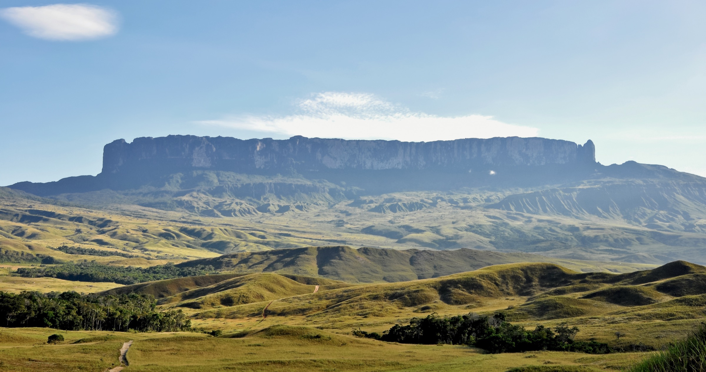
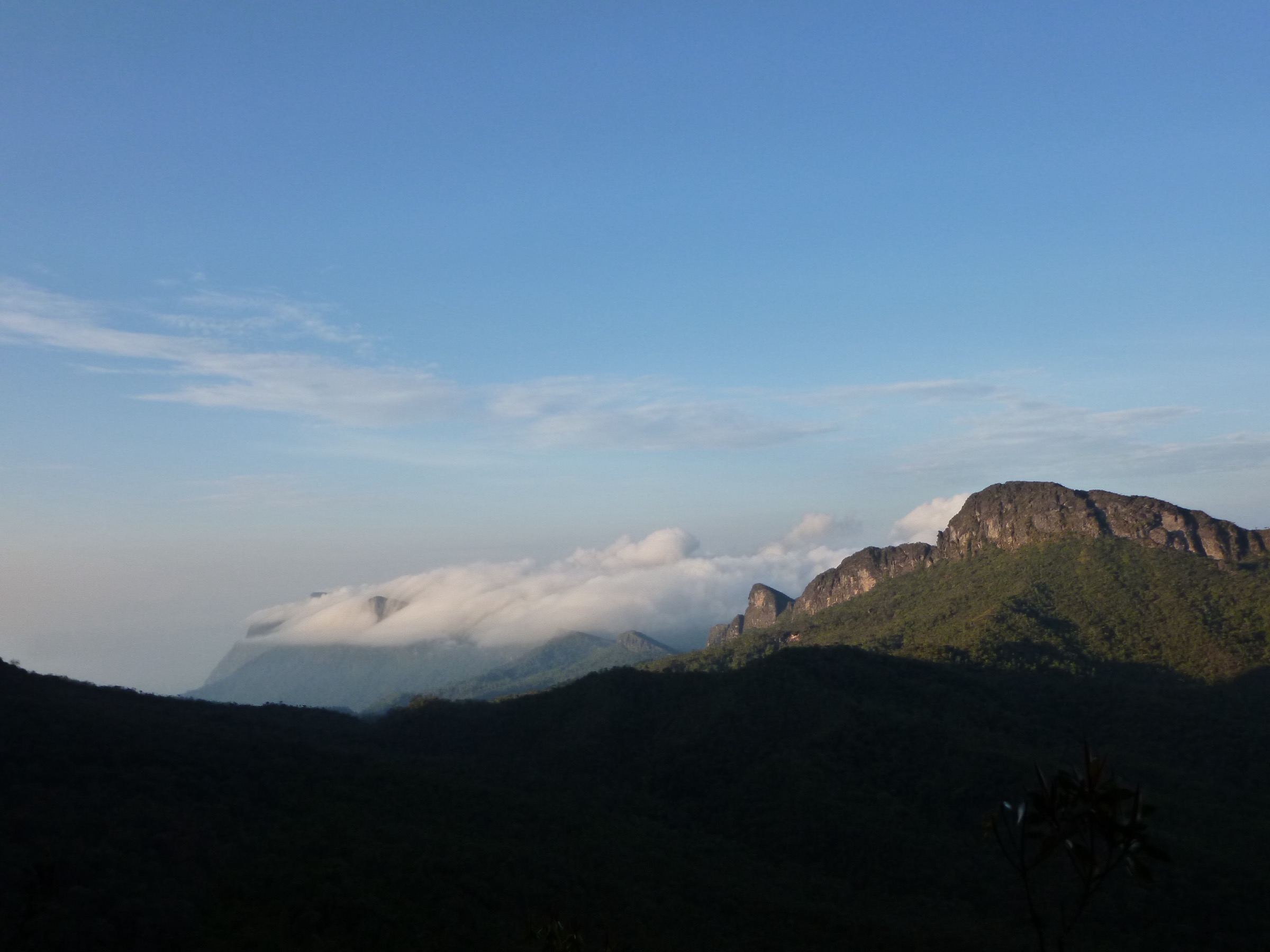
The Pico da Neblina region is one of the most remote mountain areas in South America. On the Brazilian side, Parque Nacional do Pico da Neblina overlaps Indigenous territories and contains Brazil’s highest mountains, including Pico da Neblina / Yaripo and Pico 31 de Marco. Access is regulated through ICMBio, Indigenous authorities and local Yanomami-led visitation arrangements.
This is not a normal day-hiking region. The recognised mountain objective is a long, guided, multi-day expedition involving road, river and rainforest travel before high mountain terrain. Public sources describe multiple days of approach and difficult rescue conditions. On the Venezuelan side, Serrania de la Neblina is also extremely remote and not a public day-hiking destination.
The five entries below are therefore not publication-ready essential day hikes. They are the five most relevant route or route-segment candidates identified for the region, included to prevent accidental invention of easy day hikes where the public evidence does not support them.
Selection rationale
The selection records the legally important and geographically central objectives: Yaripo/Pico da Neblina, Pico 31 de Marco, the expedition approach corridor, Morro dos Seis Lagos as a nearby protected mountain feature, and the Venezuelan Neblina protected-area context. All are marked candidate-only or non-day-hike where appropriate.
Summary table
| # | Hike | Country | Route type | Distance | Gain | Max elevation | Difficulty |
|---|---|---|---|---|---|---|---|
| 1 | Yaripo / Pico da Neblina expedition route | Brazil | Multi-day expedition, not day hike | Unresolved | Unresolved | 2,995 m / approx. 3,014 m | Expedition |
| 2 | Pico 31 de Marco side objective | Brazil / Venezuela border | Expedition side objective, not day hike | Unresolved | Unresolved | 2,974 m | Expedition |
| 3 | Iazinho - Tucano River approach segment | Brazil | Expedition-stage walk / river-supported approach | Unresolved | Unresolved | Unresolved | Candidate only |
| 4 | Morro dos Seis Lagos protected-area mountain context | Brazil | Restricted protected-area candidate | Unresolved | Unresolved | Unresolved | Candidate only |
| 5 | Serrania de la Neblina Venezuelan flank | Venezuela | Remote protected-area candidate | Unresolved | Unresolved | Unresolved | Candidate only |
1. Yaripo / Pico da Neblina expedition route
Snapshot
Itinerary
The known route is an authorised expedition to Brazil’s highest mountain, involving travel from Sao Gabriel da Cachoeira into Yanomami territory and a multi-day rainforest approach before the mountain ascent. The ICMBio page publishes a visitor plan and management documents, but a public day-hike route is not available.
Why it is essential
Yaripo/Pico da Neblina is the defining mountain of the region and Brazil’s highest summit. It is essential regional context, but it does not meet this catalogue’s normal day-hike constraints.
Equipment
- Expedition equipment determined by authorised operators: tropical rainforest trekking kit, boots, rain protection, sleeping system, medical kit.
- Insect protection, water treatment, satellite/guide communications.
- Any permits required by ICMBio and Indigenous authorities.
Hazards and notes
- This is not an independent hike. Access is restricted and must follow ICMBio, FUNAI/Indigenous and Yanomami visitation rules.
- Rescue is difficult; malaria, yellow fever and other tropical health risks require professional pre-trip advice.
GPX / KML links
| Source | URL | Format / access | Reuse status |
|---|---|---|---|
| ICMBio visitor plan PDF | gov.br/icmbio | Visitor-plan source | Brazilian government site licence: CC BY-ND 3.0 unless otherwise stated; no route geometry reused |
| OpenStreetMap search: Pico da Neblina | openstreetmap.org | Map / search | OSM data is ODbL; broad geography only |
External links
- ICMBio — Parque Nacional do Pico da Neblina
- ICMBio — Plano de Visitacao (PDF)
- Wikimedia Commons — Pico da Neblina (FAB)
2. Pico 31 de Marco side objective

Snapshot
Itinerary
Pico 31 de Marco lies on the Brazil-Venezuela border near Pico da Neblina. Public sources describe it as using the same remote approach as the main Neblina route. It is not verified as a legal or practical standalone day hike.
Why it is essential
It is the second-highest mountain associated with the Neblina massif and a key border summit, but it belongs to an expedition catalogue rather than a day-hike catalogue.
Equipment
- Same expedition kit and authorisation requirements as Pico da Neblina.
Hazards and notes
- Border, Indigenous territory and national park controls apply.
- No independent route should be described without local authorisation.
GPX / KML links
| Source | URL | Format / access | Reuse status |
|---|---|---|---|
| OpenStreetMap search: Pico 31 de Marco | openstreetmap.org | Map / search | OSM data is ODbL; broad geography only |
External links
3. Iazinho - Tucano River approach segment
Snapshot
Itinerary
Public summaries of the Neblina route describe a sequence of road, river and jungle-trail travel before the upper camps. The Iazinho, Ia, Caburai and Tucano river approach is expedition logistics, not a confirmed public day walk.
Why it is essential
The approach is the practical walking gateway to the Neblina massif. It is included as a follow-up target for route-data collection, not as a finished day hike.
Equipment
- Expedition and wet-tropical equipment as specified by local authorised guides.
Hazards and notes
- Route access depends on Indigenous consent, official authorisation and operator logistics.
- Do not publish or map a route line without permission.
GPX / KML links
| Source | URL | Format / access | Reuse status |
|---|---|---|---|
| ICMBio visitor plan PDF | gov.br/icmbio | Visitor-plan source | Planning reference only |
External links
4. Morro dos Seis Lagos protected-area mountain context
Snapshot
Itinerary
Morro dos Seis Lagos is a nearby protected mountain feature referenced in the Pico da Neblina protected-area context. No legal public day-hike route, GPX or visitor access information was verified in this pass.
Why it is essential
It may be relevant to the wider Sao Gabriel highland catalogue, but it is not yet proven suitable for this day-hike project.
Equipment
- Unresolved; assume full tropical field kit only if access is formally authorised.
Hazards and notes
- Biological-reserve status usually implies stricter access than ordinary parks.
- Do not include as a hike until access legality is confirmed.
GPX / KML links
| Source | URL | Format / access | Reuse status |
|---|---|---|---|
| OpenStreetMap search: Morro dos Seis Lagos | openstreetmap.org | Map / search | OSM data is ODbL; broad geography only |
External links
5. Serrania de la Neblina Venezuelan flank
Snapshot
Itinerary
The Venezuelan flank of the Neblina massif is protected as Serrania de la Neblina, adjoining the Brazilian national park. No reliable public day-hike route or legal access route was verified in this pass.
Why it is essential
It is geographically part of the Neblina massif, but the current evidence supports only protected-area context, not a day-hike entry.
Equipment
- Unresolved; any authorised route would require expedition-level tropical equipment and local permissions.
Hazards and notes
- Remote border terrain, unclear public access.
- Protected-area restrictions make this unsuitable for publication without specialist verification.
GPX / KML links
| Source | URL | Format / access | Reuse status |
|---|---|---|---|
| OpenStreetMap search: Serrania de la Neblina | openstreetmap.org | Map / search | OSM data is ODbL; broad geography only |
External links
Missing data / follow-up work
- Confirm the current Yanomami-led visitation process, operator list, seasonal windows and permit conditions.
- Extract route-stage distances and gains only from authorised route material or field GPS.
- Verify whether any lower-elevation legal day walks exist near Sao Gabriel da Cachoeira that belong to this specific mountain-region row.
- Do not publish Pico da Neblina or Pico 31 de Marco as day hikes; they are expedition objectives.
- Hikes 3, 4 and 5 still lack licence-compatible images.
External links
| Source | URL |
|---|---|
| ICMBio — Parque Nacional do Pico da Neblina | gov.br/icmbio |
| ICMBio — Plano de Visitacao do Parque Nacional do Pico da Neblina (PDF) | gov.br/icmbio |
| OpenStreetMap | openstreetmap.org |