Regional overview
This entry covers the Rio Grande do Sul side of the southern Brazilian canyon plateau, chiefly Cambara do Sul, Parque Nacional da Serra Geral, and Sao Jose dos Ausentes/Monte Negro. It avoids duplicating the Itaimbezinho walks already assigned to the Aparados da Serra entry except where region-level context is needed.
Rio Grande do Sul canyon country is the basalt escarpment zone where the high, cool campos of Cambara do Sul and Sao Jose dos Ausentes drop into forested gorges draining toward Santa Catarina. Hiking alternates between high-rim viewpoints, waterfall/ravine routes, and short state-high-point walks.
The key public landscapes are Cânion Fortaleza, Cascata do Tigre Preto, Pedra do Segredo, Malacara/Churriado and Pico do Monte Negro. Much of the area sits within or beside Parque Nacional da Serra Geral and the UNESCO-recognised Caminhos dos Cânions do Sul Geopark. Fog, wind, storms and cliff-edge exposure are the major hazards.
Access rules can change under park concession and private-property arrangements. Several routes require local guidance or at least current local confirmation. Official GPX downloads were not found in this pass.
Selection rationale
The five hikes represent the essential Rio Grande do Sul canyon palette: Fortaleza’s grand rim, Tigre Preto/Pedra do Segredo, a longer Fortaleza loop variant, Malacara/Churriado, and the state high point at Monte Negro.
Summary table
| # | Hike | Country | Route type | Distance | Gain | Max elevation | Difficulty |
|---|---|---|---|---|---|---|---|
| 1 | Cânion Fortaleza viewpoint / Mirante da Cidade de Torres | Brazil | Out-and-back | 3.2 km | 94 m | c. 1,100-1,200 m plateau | Easy-moderate |
| 2 | Tigre Preto and Pedra do Segredo | Brazil | Out-and-back | 3.2 km | 205 m | Unresolved | Moderate |
| 3 | Cânion Fortaleza - Pedra do Segredo via Borda Sul | Brazil | Loop | 15.0 km | 886 m | Unresolved | Hard |
| 4 | Cânions Malacara and Churriado | Brazil | Loop | 20.3 km | 726 m | Unresolved | Hard |
| 5 | Pico do Monte Negro | Brazil | Loop / short summit walk | 1.3-4.0 km depending variant | 89-335 m | 1,398-1,410 m | Moderate |
1. Cânion Fortaleza viewpoint / Mirante da Cidade de Torres
Snapshot
Itinerary
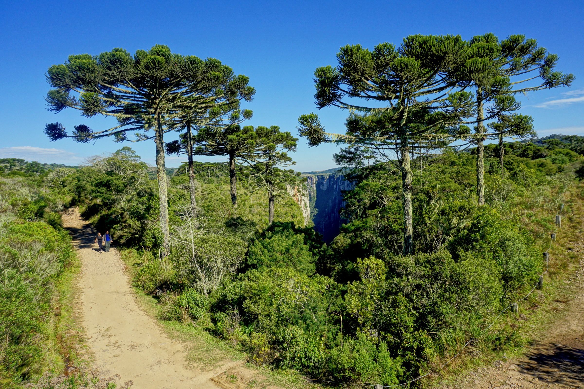
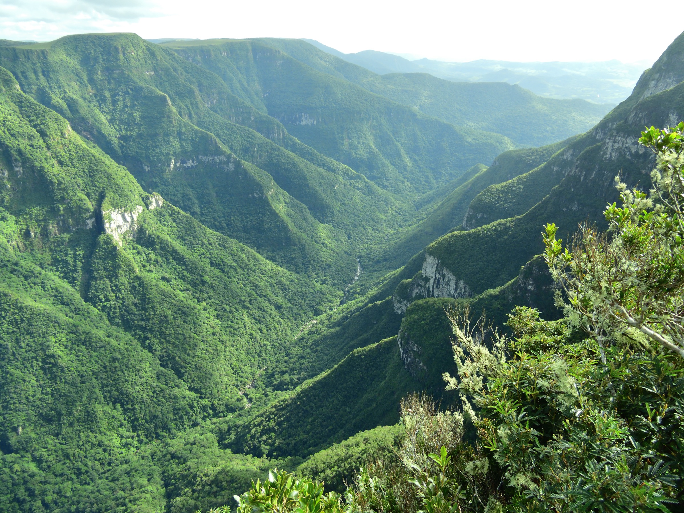
The route follows the high rim toward the Mirante da Cidade de Torres, giving broad views across Cânion Fortaleza and, in clear weather, toward the coastal plain.
Why it is essential
Cânion Fortaleza is the defining grand-canyon viewpoint on the Rio Grande do Sul side.
Equipment
- Standard hiking equipment, wind/rain layer.
Hazards and notes
- Cliff exposure, fog, thunderstorms and slippery grass/rock.
- Stay on authorised paths.
GPX / KML links
| Source | URL | Format / access | Reuse status |
|---|---|---|---|
| AllTrails: Mirante da Cidade de Torres - Canyon Fortaleza | alltrails.com | Source route page / app track | AllTrails terms apply; reuse unresolved |
External links
- AllTrails — Mirante da Cidade de Torres - Canyon Fortaleza
- Wikimedia Commons — Cânion Fortaleza, Cambara do Sul
2. Tigre Preto and Pedra do Segredo

Snapshot
Itinerary
The route visits the Cascata do Tigre Preto area and continues to Pedra do Segredo, a distinctive balanced-rock/geosite objective near the Fortaleza sector.
Why it is essential
It combines waterfall, canyon-edge forest and one of the most recognised geosites in the Cambara canyon country.
Equipment
- Standard hiking equipment, grippy shoes, rain layer.
Hazards and notes
- Wet rock, waterfall-edge hazards, cliff exposure, fog.
- Possible route closures.
GPX / KML links
| Source | URL | Format / access | Reuse status |
|---|---|---|---|
| AllTrails: Trilha Tigre Preto e Pedra do Segredo | alltrails.com | Source route page / app track | AllTrails terms apply; reuse unresolved |
External links
- AllTrails — Trilha Tigre Preto e Pedra do Segredo
- Wikimedia Commons — Canyon Fortaleza, Cambara do Sul
3. Cânion Fortaleza - Pedra do Segredo via Borda Sul
Snapshot
Itinerary
A longer loop links the Fortaleza rim, Borda Sul terrain, waterfall/stream sections and Pedra do Segredo, providing a more strenuous full-day version of the Fortaleza sector.
Why it is essential
This is the hard, full-day version of the region’s most famous canyon area.
Equipment
- Mountain hiking equipment, 2-3 litres of water, food, headtorch, rain/wind layer.
- Navigation backup.
Hazards and notes
- Long day, exposure, fog, storms.
- River/stream crossings and slippery rock.
GPX / KML links
| Source | URL | Format / access | Reuse status |
|---|---|---|---|
| AllTrails: Canyon Fortaleza - Pedra do Segredo via Borda Sul | alltrails.com | Source route page / app track | AllTrails terms apply; reuse unresolved |
External links
- AllTrails — Canyon Fortaleza - Pedra do Segredo via Borda Sul
- Wikimedia Commons — Cânion Fortaleza, Cambara do Sul
4. Cânions Malacara and Churriado
Snapshot
Itinerary
The route links viewpoints and approaches around the Malacara and Churriado canyon system, crossing highland and forest-edge terrain.
Why it is essential
It extends the selection beyond Fortaleza to another major canyon pair and offers a substantial, less casual day.
Equipment
- Mountain hiking equipment, navigation backup, food, 2-3 litres of water, headtorch.
Hazards and notes
- Remote sections, fog, storms.
- Private/park access uncertainty and cliff exposure.
GPX / KML links
| Source | URL | Format / access | Reuse status |
|---|---|---|---|
| AllTrails: Cânions Malacara e Churriado | alltrails.com | Source route page / app track | AllTrails terms apply; reuse unresolved |
External links
5. Pico do Monte Negro

Snapshot
Itinerary
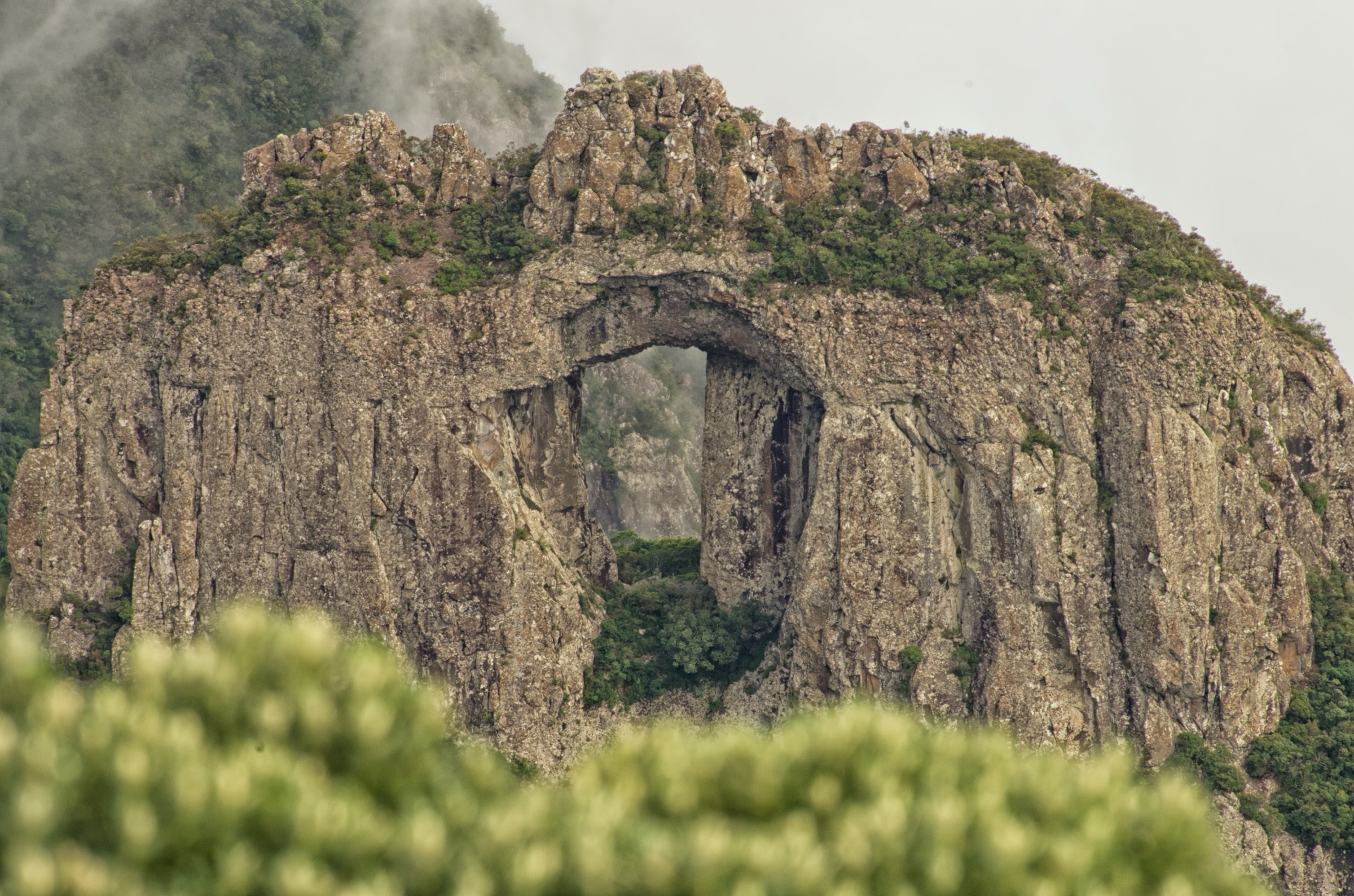
A short summit walk reaches Pico do Monte Negro on the rim of the canyon of the same name, the highest point of Rio Grande do Sul.
Why it is essential
It is the state high point and a compact summit objective within the canyon country.
Equipment
- Standard hiking equipment, warm/wind layer, sun protection.
Hazards and notes
- Fog, wind, wet grass.
- Rough access road and cliff/canyon edges.
GPX / KML links
| Source | URL | Format / access | Reuse status |
|---|---|---|---|
| AllTrails: Pico do Monte Negro | alltrails.com | Source route page / app track | AllTrails terms apply; reuse unresolved |
| AllTrails: Pico Monte Negro Completo | alltrails.com | Source route page / app track | AllTrails terms apply; reuse unresolved |
External links
- AllTrails — Pico do Monte Negro
- AllTrails — Pico Monte Negro Completo
- Wikimedia Commons — Pico Monte Negro, Rio Grande do Sul
Missing data / follow-up work
- Confirm 2026 park/concession entry and guide rules for Fortaleza, Tigre Preto, Pedra do Segredo and Malacara/Churriado.
- Resolve Monte Negro elevation discrepancy and exact public trailhead.
- Locate official GPX/KML downloads or create clean GPX from verified public/OSM geometry.
- Find open-licence images for Malacara/Churriado and route-specific Pedra do Segredo.
External links
| Source | URL |
|---|---|
| Parque Nacional de Aparados da Serra / Serra Geral (Wikipédia) | pt.wikipedia.org |
| Pico do Monte Negro (Wikipédia) | pt.wikipedia.org |
| Sao Jose dos Ausentes (Wikipedia) | en.wikipedia.org |
| AllTrails — Mirante da Cidade de Torres - Canyon Fortaleza | alltrails.com |
| AllTrails — Trilha Tigre Preto e Pedra do Segredo | alltrails.com |
| AllTrails — Canyon Fortaleza - Pedra do Segredo via Borda Sul | alltrails.com |
| AllTrails — Cânions Malacara e Churriado | alltrails.com |
| AllTrails — Pico do Monte Negro | alltrails.com |
| AllTrails — Pico Monte Negro Completo | alltrails.com |