


Regional overview
Serra do Cipó is a quartzite, campo rupestre, canyon, and waterfall hiking area in Minas Gerais, protected principally by Parque Nacional da Serra do Cipó. The principal visitor sectors include Retiro and Alto Palácio, with long open approaches to waterfalls and canyons.
ICMBio states that the park normally operates daily from 08:00 to 18:00, with entry until 17:00, and does not charge an entrance fee. Several longer attractions require reservation, have daily limits, or are subject to seasonal recommendations. Dogs are prohibited on the official routes checked in the 2024 attractions menu.
The hiking is often non-technical but long, sunny, and exposed. Navigation can be harder on open campo routes than the distances suggest. The rainy season increases flash-flood and slippery-rock risk, especially near waterfalls and canyons.
Selection rationale
The five hikes cover the classic Retiro-sector waterfall and canyon objectives, the Alto Palácio/Tombador high-route character, the major Travessão canyon objective, and the Gavião/Andorinhas waterfall pair listed in official park materials.
Summary table
| # | Hike | Country | Route type | Distance | Gain | Max elevation | Difficulty |
|---|---|---|---|---|---|---|---|
| 1 | Cachoeira da Farofa | Brazil | Out-and-back | 15.6 km official; 13.4 km AllTrails | 296 m AllTrails | Unresolved | Medium-hard |
| 2 | Cânion das Bandeirinhas | Brazil | Out-and-back | 22.4 km official | 428 m AllTrails variant | Unresolved | Medium-hard |
| 3 | Cachoeira do Tombador | Brazil | Out-and-back | 16.0 km official; 16.9 km AllTrails | 274 m AllTrails | Unresolved | Hard |
| 4 | Travessão Cabeça de Boi | Brazil | Out-and-back | 25.3 km | 1,127 m | Unresolved | Very hard |
| 5 | Cachoeira do Gavião and Cachoeira das Andorinhas | Brazil | Out-and-back | 14.6 km official | Unresolved | Unresolved | Medium-hard |
1. Cachoeira da Farofa

Snapshot
Itinerary
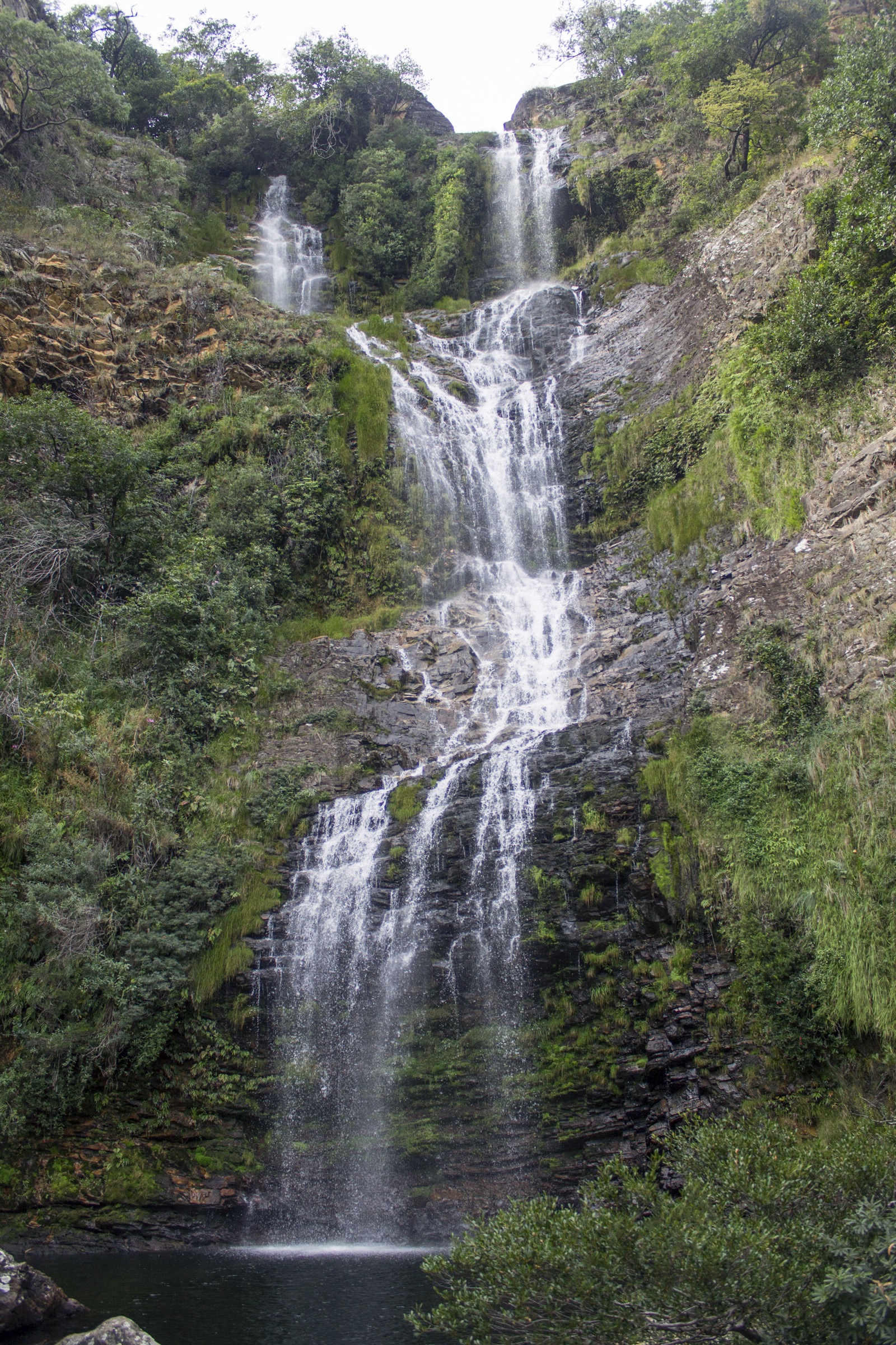
The route leaves the Retiro sector and follows the long approach across the park interior to Cachoeira da Farofa. It is one of the best-known waterfall hikes in the park and returns by the same route.
Why it is essential
Cachoeira da Farofa is a signature Serra do Cipó day hike, combining the park’s long open approaches, watercourse scenery, and a major waterfall destination.
Equipment
Standard hiking equipment: hiking shoes or boots, rain layer, sun protection, food, water, and map/GPS. A bicycle or horse approach is listed by ICMBio as possible access mode, but walking is the catalogue route.
Hazards and notes
ICMBio lists reservation as required, guide as not required, a 30-person daily limit, and dogs prohibited. Heat, sun exposure, storms, and slippery waterfall rocks are the main hazards.
GPX / KML links
| Source | URL | Format / access | Reuse status |
|---|---|---|---|
| ICMBio attractions menu | gov.br/icmbio | Official PDF source | Official route description/stat source, not GPX |
| ICMBio Serra do Cipó boundary KML | gov.br/icmbio | KML boundary | Official boundary source map only; not a trail GPX |
| AllTrails: Cachoeira da Farofa | alltrails.com | Source route page | AllTrails terms; GPX export/reuse not verified |
External links
- ICMBio — Parque Nacional da Serra do Cipó
- ICMBio attractions menu PDF
- AllTrails — Cachoeira da Farofa
- Wikimedia Commons — Cachoeira da Farofa
2. Cânion das Bandeirinhas

Snapshot
Itinerary
The route follows the Retiro-sector trail network toward the Cânion das Bandeirinhas, a long canyon objective in the national park. The walk is a long out-and-back, often combined with open park tracks and watercourse scenery.
Why it is essential
Cânion das Bandeirinhas is one of the park’s classic long day routes and represents the canyon side of Serra do Cipó rather than only its waterfalls.
Equipment
Mountain hiking equipment for a long day: boots, sun protection, rain layer, food, water, map/GPS, navigation backup, and headtorch.
Hazards and notes
ICMBio lists reservation as required, guide as not required, a 30-person daily limit, and dogs prohibited. The route is long and exposed. Flash-flood risk should be considered after heavy rain.
GPX / KML links
| Source | URL | Format / access | Reuse status |
|---|---|---|---|
| ICMBio attractions menu | gov.br/icmbio | Official PDF source | Official route description/stat source, not GPX |
| ICMBio Serra do Cipó boundary KML | gov.br/icmbio | KML boundary | Official boundary source map only; not a trail GPX |
| AllTrails: Farofa de Cima - Canyon das Bandeirinhas | alltrails.com | Source route page | AllTrails terms; variant distance differs from official |
External links
- ICMBio attractions menu PDF
- AllTrails — Farofa de Cima / Canyon das Bandeirinhas
- Wikimedia Commons — Canion das Bandeirinhas
3. Cachoeira do Tombador

Snapshot
Itinerary
The route starts in the Alto Palácio sector and follows a long high-route approach toward Cachoeira do Tombador. It returns by the same route.
Why it is essential
Cachoeira do Tombador represents the more remote Alto Palácio hiking character of Serra do Cipó, with a harder day profile than the standard Retiro-sector waterfalls.
Equipment
Mountain hiking equipment: boots, rain layer, warm layer for wind, sun protection, food, water, offline map/GPS, and headtorch.
Hazards and notes
ICMBio lists the route as hard, dry-period only, and not recommended in the rainy period. Reservation is required, guide is not required, and dogs are prohibited. The long time estimate makes an early start important.
GPX / KML links
| Source | URL | Format / access | Reuse status |
|---|---|---|---|
| ICMBio attractions menu | gov.br/icmbio | Official PDF source | Official route description/stat source, not GPX |
| ICMBio Serra do Cipó boundary KML | gov.br/icmbio | KML boundary | Official boundary source map only; not a trail GPX |
| AllTrails: Cachoeira do Tombador | alltrails.com | Source route page | AllTrails terms; GPX export/reuse not verified |
External links
4. Travessão Cabeça de Boi

Snapshot
Itinerary
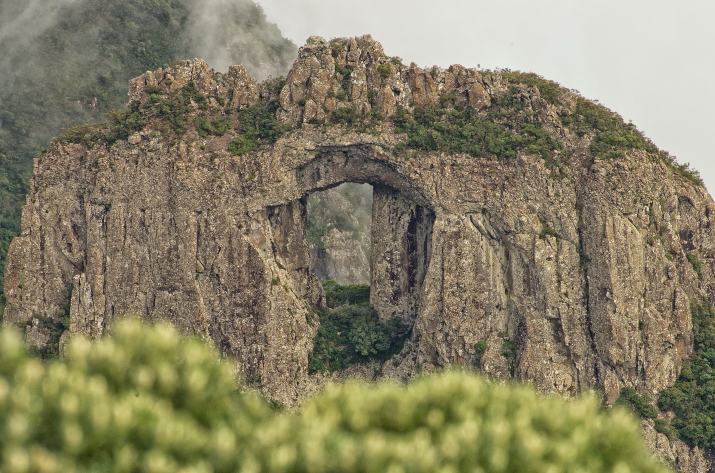
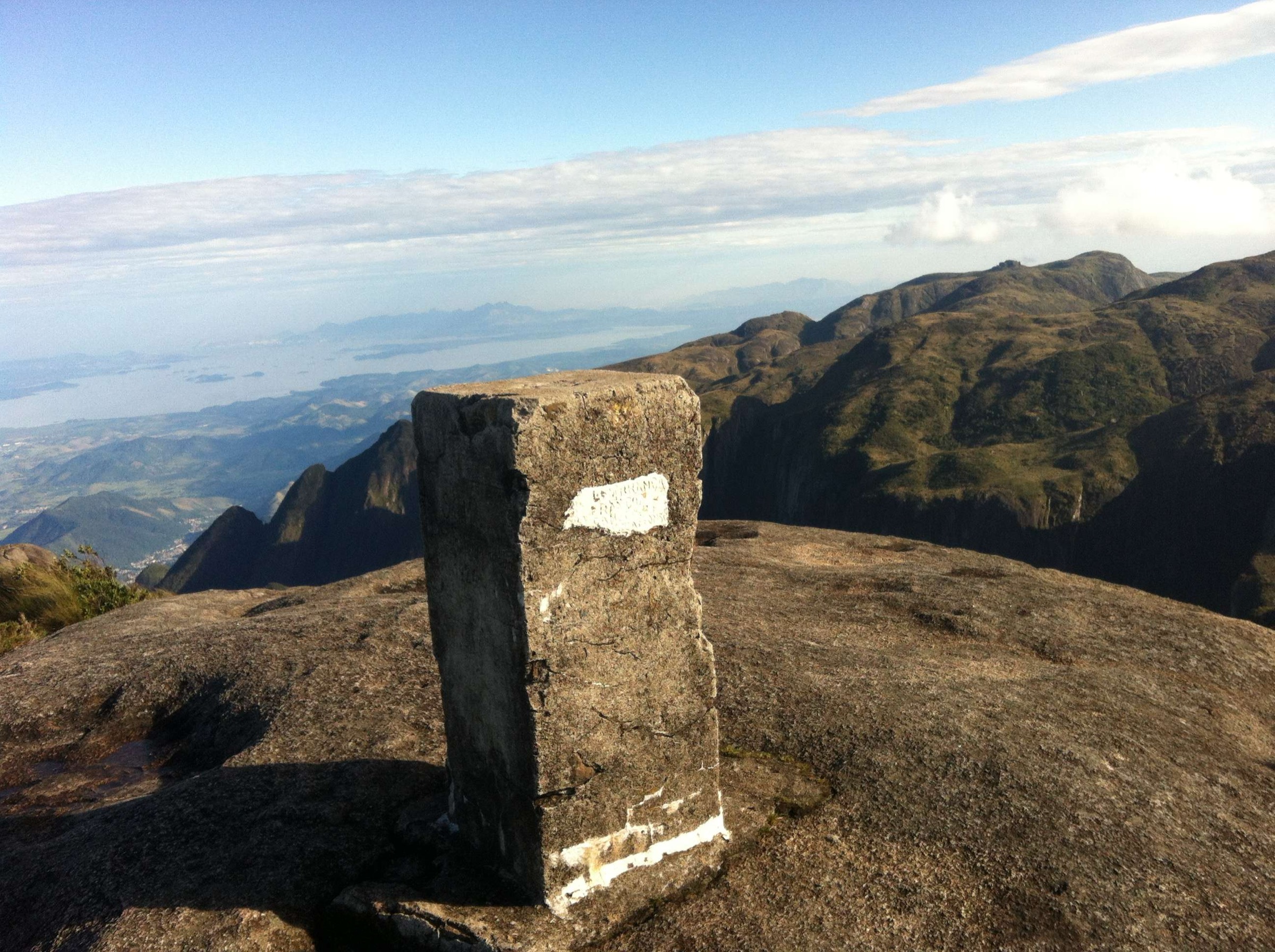
The route reaches the Travessão landscape, a dramatic canyon/valley system associated with the Serra do Cipó high country. The mapped out-and-back route is long and remote for a day hike and should be treated as an expert objective.
Why it is essential
Travessão is one of Serra do Cipó’s most distinctive canyon landscapes. It adds a major high-country canyon objective to the waterfall-heavy core selection.
Equipment
Mountain hiking equipment plus long-day safety margin: sturdy boots, headtorch, rain and warm layers, sun protection, navigation backup, first-aid kit, food, and generous water capacity.
Hazards and notes
The route sits at the upper limit of the catalogue’s normal day-hike distance. Exact legal access, park rules, water availability, and guide need were not verified. Avoid in storms or after heavy rain.
GPX / KML links
| Source | URL | Format / access | Reuse status |
|---|---|---|---|
| AllTrails: Travessão Cabeça de Boi | alltrails.com | Source route page | AllTrails terms; legal access needs confirmation |
| ICMBio Serra do Cipó boundary KML | gov.br/icmbio | KML boundary | Official boundary source map only; not a trail GPX |
External links
- AllTrails — Travessão Cabeça de Boi
- ICMBio — Parque Nacional da Serra do Cipó
- Wikimedia Commons — Travessão Serra do Cipó
5. Cachoeira do Gavião and Cachoeira das Andorinhas

Snapshot
Itinerary
The route uses the Retiro-sector network to reach Cachoeira do Gavião and Cachoeira das Andorinhas before returning to the entrance area. It combines a moderate-long walking distance with waterfall bathing and open park scenery.
Why it is essential
This hike adds another officially listed Retiro-sector waterfall pair and spreads the selection beyond Farofa and Bandeirinhas while staying within the park’s core visitor area.
Equipment
Standard hiking equipment: hiking shoes or boots, rain layer, water, food, sun protection, and map/GPS.
Hazards and notes
ICMBio lists reservation as required, guide as not required, a 30-person daily limit, and dogs prohibited. Elevation gain and independent route-file source were not found in this pass.
GPX / KML links
| Source | URL | Format / access | Reuse status |
|---|---|---|---|
| ICMBio attractions menu | gov.br/icmbio | Official PDF source | Official route description/stat source, not GPX |
| ICMBio Serra do Cipó boundary KML | gov.br/icmbio | KML boundary | Official boundary source map only; not a trail GPX |
External links
Missing data / follow-up work
- Official trail-route GPX/KML files were not found; the ICMBio KML is a park boundary/source map rather than a hike route.
- Maximum elevation and gain/loss remain unresolved for several official Cipó routes.
- Travessão legal trailhead/access and day-hike suitability need stronger official or local confirmation.
- Public transport to exact park sectors was not verified.
External links
| Source | URL |
|---|---|
| ICMBio — Parque Nacional da Serra do Cipó | gov.br/icmbio |
| ICMBio attractions menu PDF | gov.br/icmbio |
| ICMBio Serra do Cipó boundary KML | gov.br/icmbio |
| AllTrails — Cachoeira da Farofa | alltrails.com |
| AllTrails — Farofa de Cima / Canyon das Bandeirinhas | alltrails.com |
| AllTrails — Cachoeira do Tombador | alltrails.com |
| AllTrails — Travessão Cabeça de Boi | alltrails.com |