


Regional overview
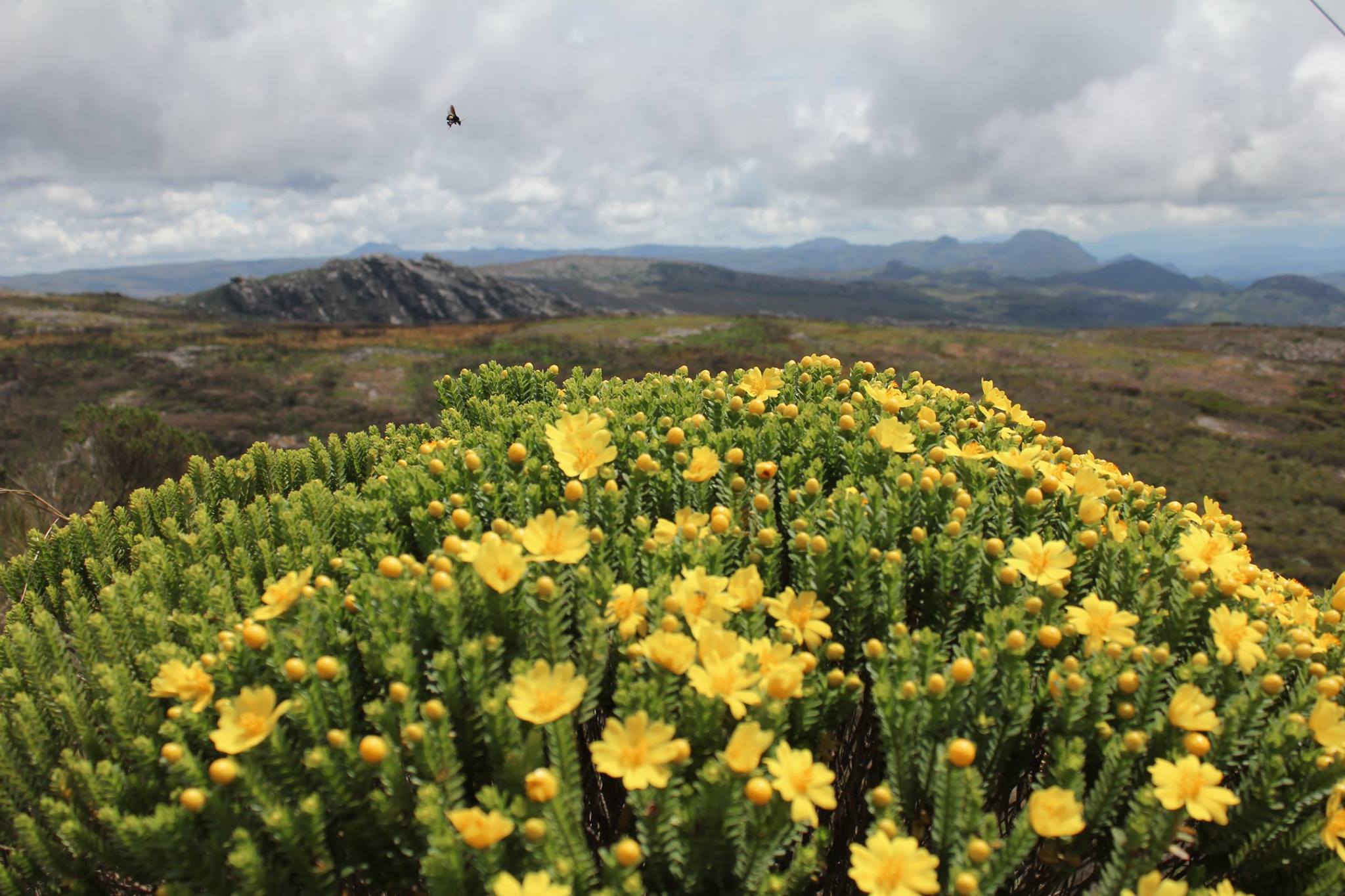
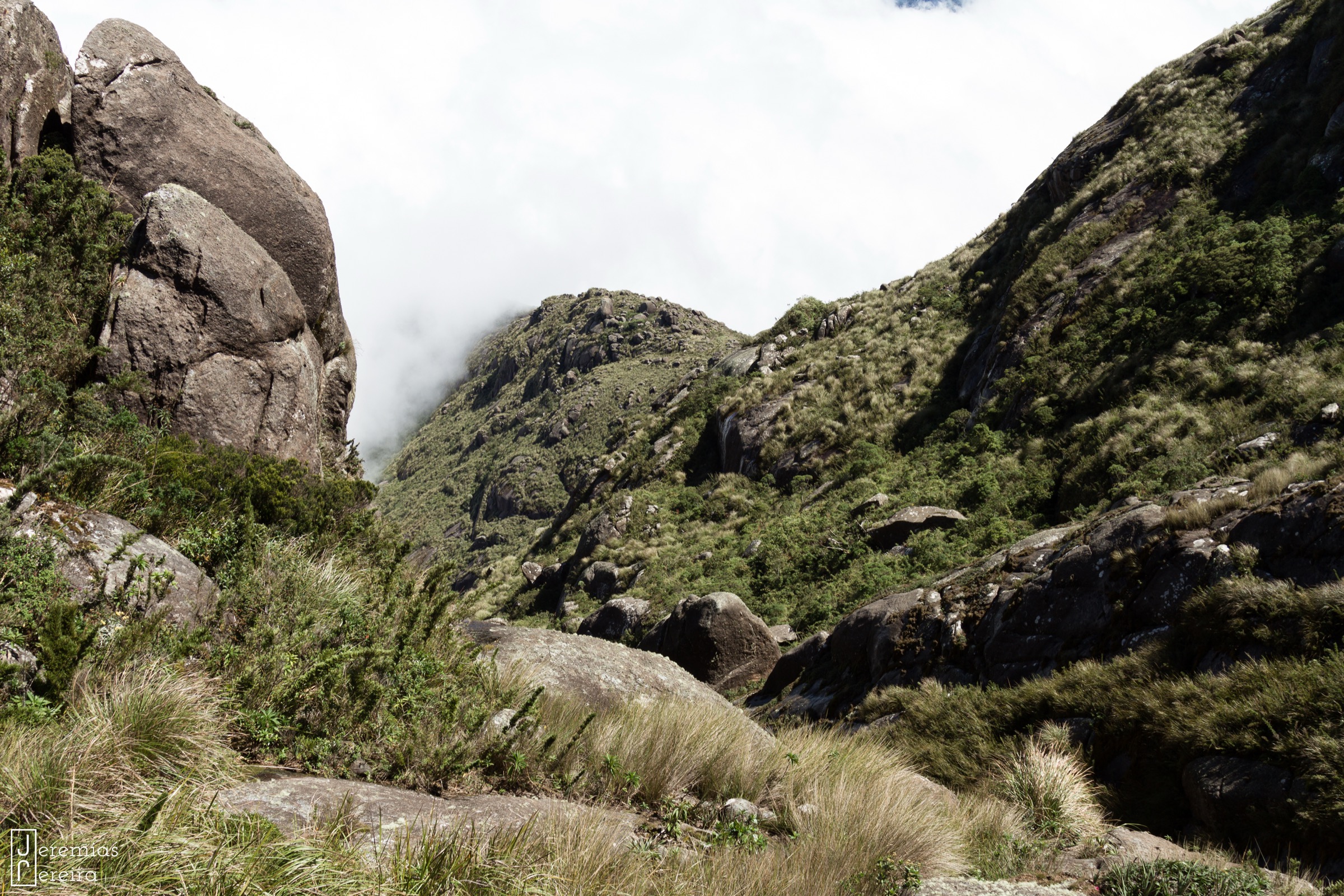
The Pico dos Marins region is a compact high-mountain area in the Serra da Mantiqueira, on and near the São Paulo-Minas Gerais border. The hiking character is steep, open, quartzitic, and navigation-heavy, with exposed grassy and rocky ridges rather than the more forested lower Mantiqueira approaches.
The main objectives are Pico dos Marins, Pico do Itaguaré, Pico do Marinzinho, Pedra Redonda, and the linking Marins-Itaguaré crest. Trailheads are generally reached by private vehicle, local transfer, or guide transport from towns such as Piquete, Cruzeiro, Marmelópolis, and Passa Quatro; public transport to exact trailheads was not verified.
The usual hiking season is the drier winter and shoulder months. Summer storms, fog, strong wind, limited water on the ridges, and indistinct paths can make even short distances slow. The Marins-Itaguaré traverse is included as an expert-only day objective because it is a defining local route, but its day-hike suitability remains only partially verified.
Selection rationale
The selection balances the main massif summit, the second iconic summit, two compact but demanding Marinzinho/Pedra Redonda ridge routes, and the classic crest traverse that links the region’s best-known high points.
Summary table
| # | Hike | Country | Route type | Distance | Gain | Max elevation | Difficulty |
|---|---|---|---|---|---|---|---|
| 1 | Pico dos Marins via Morro do Careca | Brazil | Out-and-back | 10.6 km | 855 m | 2,420.7 m | Hard |
| 2 | Pico do Itaguaré | Brazil | Out-and-back | 6.8 km | 717 m | 2,308 m | Hard |
| 3 | Mirante São Pedro to Pico do Marinzinho | Brazil | Out-and-back | 10.6 km | 990 m | Unresolved | Hard |
| 4 | Pico do Marinzinho and Pedra Redonda | Brazil | Out-and-back | 9.0 km | 979 m | Unresolved | Hard |
| 5 | Marins-Itaguaré traverse | Brazil | Point-to-point | 13.7 km | 1,184 m | 2,420.7 m | Very hard |
1. Pico dos Marins via Morro do Careca

Snapshot
Itinerary
The route starts at the Base dos Marins/Morro do Careca access and climbs from lower grass and scrub onto the open ridge system below Pico dos Marins. The path continues over rocky slabs and exposed upland terrain to the summit, then returns by the same line.
Why it is essential
Pico dos Marins is the defining summit of this compact Mantiqueira sub-region and one of the best-known high mountain day objectives in southeastern Brazil. The route gives the clearest single-day experience of the area’s open quartzite ridges and long views.
Equipment
Mountain hiking equipment: sturdy boots, rain layer, warm layer for wind, sun protection, headtorch, offline map/GPS, navigation backup, and enough water for a dry ridge day.
Hazards and notes
Fog can make route-finding difficult. The upper route is exposed to wind, lightning, and heat. Water availability high on the route was not verified. Start early and avoid the ridge in storms.
GPX / KML links
| Source | URL | Format / access | Reuse status |
|---|---|---|---|
| AllTrails: Trilha do Pico dos Marins - Morro do Careca | alltrails.com | Source route page | AllTrails terms; GPX export/reuse not verified |
External links
- AllTrails — Trilha do Pico dos Marins - Morro do Careca
- Wikipedia — Pico dos Marins
- Wikimedia Commons — Pico dos Marins
2. Pico do Itaguaré

Snapshot
Itinerary
The route climbs from the rural Itaguaré access toward the steep summit profile of Pico do Itaguaré. The ascent gains height quickly through lower vegetation and open mountain terrain before reaching the summit rocks and returning by the same route.
Why it is essential
Pico do Itaguaré is the other major summit of the Marins-Itaguaré group. It is shorter than Pico dos Marins but comparably steep and gives a distinct view back across the Marins crest.
Equipment
Mountain hiking equipment, with sturdy boots, weatherproof layer, headtorch, sun protection, offline map/GPS, and sufficient water.
Hazards and notes
The summit slopes are steep and exposed to weather. The exact trailhead and public access arrangements need local confirmation. Route-finding can be serious in cloud.
GPX / KML links
| Source | URL | Format / access | Reuse status |
|---|---|---|---|
| AllTrails: Pico Itaguaré | alltrails.com | Source route page | AllTrails terms; GPX export/reuse not verified |
External links
3. Mirante São Pedro to Pico do Marinzinho

Snapshot
Itinerary
The hike leaves Mirante São Pedro and climbs into the Marinzinho side of the massif. The route follows steep, open mountain ground to Pico do Marinzinho, with views toward Pico dos Marins and the Itaguaré crest, then returns by the ascent line.
Why it is essential
Pico do Marinzinho gives a more compact but still demanding way to experience the central ridge scenery of the Marins region without committing to the full traverse.
Equipment
Mountain hiking equipment: boots, poles if useful, rain and warm layers, headtorch, offline navigation, sun protection, and adequate water.
Hazards and notes
Route-finding and weather exposure are the main concerns. Maximum elevation and official access details were not verified in this pass.
GPX / KML links
| Source | URL | Format / access | Reuse status |
|---|---|---|---|
| AllTrails: Mirante São Pedro - Pico do Marinzinho | alltrails.com | Source route page | AllTrails terms; GPX export/reuse not verified |
External links
4. Pico do Marinzinho and Pedra Redonda

Snapshot
Itinerary
The route starts at Mirante São Pedro, climbs to the Marinzinho ridge, and continues to Pedra Redonda before returning by the same general line. It samples the ridge-and-tor scenery between Marins and Itaguaré without completing the full point-to-point traverse.
Why it is essential
This route adds Pedra Redonda to the Marinzinho outing, giving a stronger sense of the high crest and its landmarks while staying within a single trailhead circuit.
Equipment
Mountain hiking equipment with reliable navigation, headtorch, weather protection, sun protection, and sufficient water.
Hazards and notes
The hike is short on paper but steep. Fog, rock slabs, indistinct tracks, and summer thunderstorms can make the route more serious.
GPX / KML links
| Source | URL | Format / access | Reuse status |
|---|---|---|---|
| AllTrails: Mirante São Pedro - Pico do Marinzinho - Pedra Redonda | alltrails.com | Source route page | AllTrails terms; GPX export/reuse not verified |
External links
- AllTrails — Mirante São Pedro - Pico do Marinzinho - Pedra Redonda
- Wikimedia Commons — Travessia Pico dos Marins ao Pico do Itaguaré
5. Marins-Itaguaré traverse

Snapshot
Itinerary
The traverse links the Pico dos Marins side of the massif with Pico do Itaguaré, following the high crest past Marinzinho and Pedra Redonda. The route is point-to-point, remote for its length, and far more complex than the individual summit out-and-backs.
Why it is essential
The Marins-Itaguaré traverse is the classic linking route of the region and gives the most complete single line across its summits and ridges. It is included only as an expert day-hike candidate because many parties treat it as an overnight mountain traverse.
Equipment
Mountain hiking equipment plus conservative extras: headtorch with spare power, emergency layer, full offline navigation, first-aid kit, enough water, and contingency equipment appropriate for a delayed finish.
Hazards and notes
Route-finding, time commitment, weather exposure, limited escape options, and shuttle logistics are serious. The route should not be treated as a normal day hike without current local information and a strong early start.
GPX / KML links
| Source | URL | Format / access | Reuse status |
|---|---|---|---|
| AllTrails: Travessia Pico dos Marins - Pico Itaguaré | alltrails.com | Source route page | AllTrails terms; GPX export/reuse not verified |
External links
- AllTrails — Travessia Pico dos Marins - Pico Itaguaré
- Wikipedia — Pico dos Marins
- Wikimedia Commons — Travessia Pico dos Marins ao Pico do Itaguaré
Missing data / follow-up work
- No official GPX/KML route files were found for the five routes.
- Exact trailhead coordinates, public transport, water points, and current access/permit rules need local confirmation.
- Maximum elevations for Marinzinho and Pedra Redonda variants remain unresolved.
- The Marins-Itaguaré traverse needs a local-source check before publication as a day hike.
External links
| Source | URL |
|---|---|
| AllTrails — Trilha do Pico dos Marins - Morro do Careca | alltrails.com |
| AllTrails — Pico Itaguaré | alltrails.com |
| AllTrails — Mirante São Pedro - Pico do Marinzinho | alltrails.com |
| AllTrails — Mirante São Pedro - Pico do Marinzinho - Pedra Redonda | alltrails.com |
| AllTrails — Travessia Pico dos Marins - Pico Itaguaré | alltrails.com |
| Wikipedia — Pico dos Marins | en.wikipedia.org |
| Wikipedia — Pico do Itaguaré | pt.wikipedia.org |