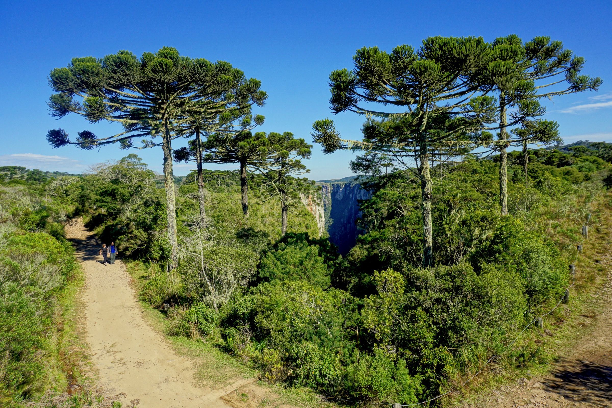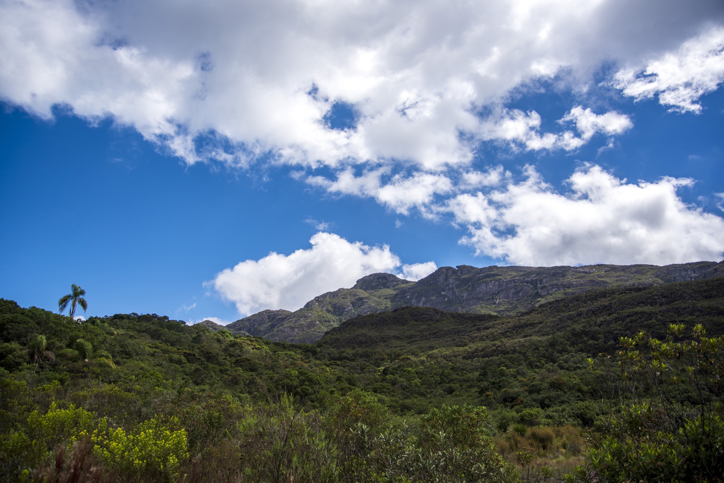


Regional overview
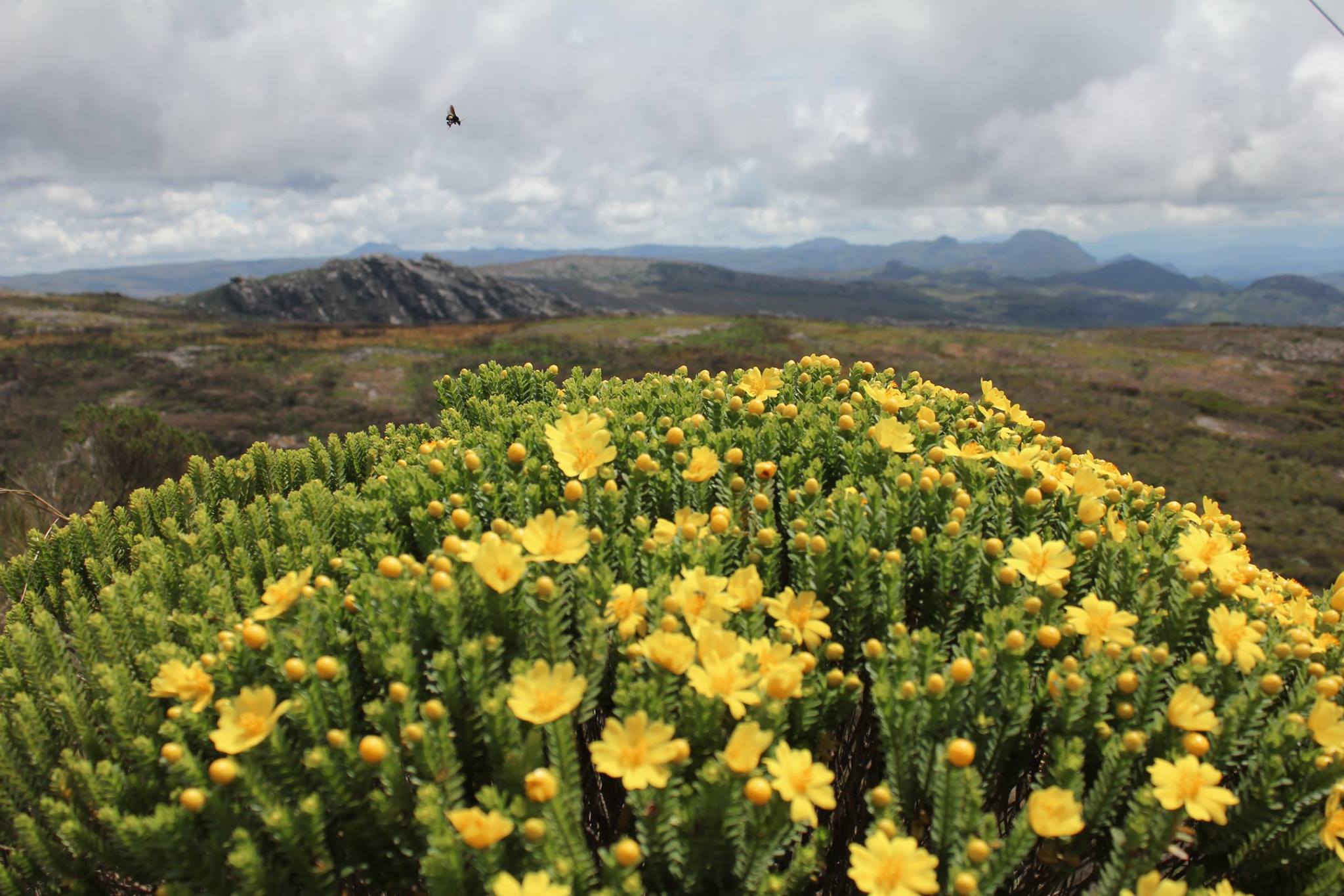
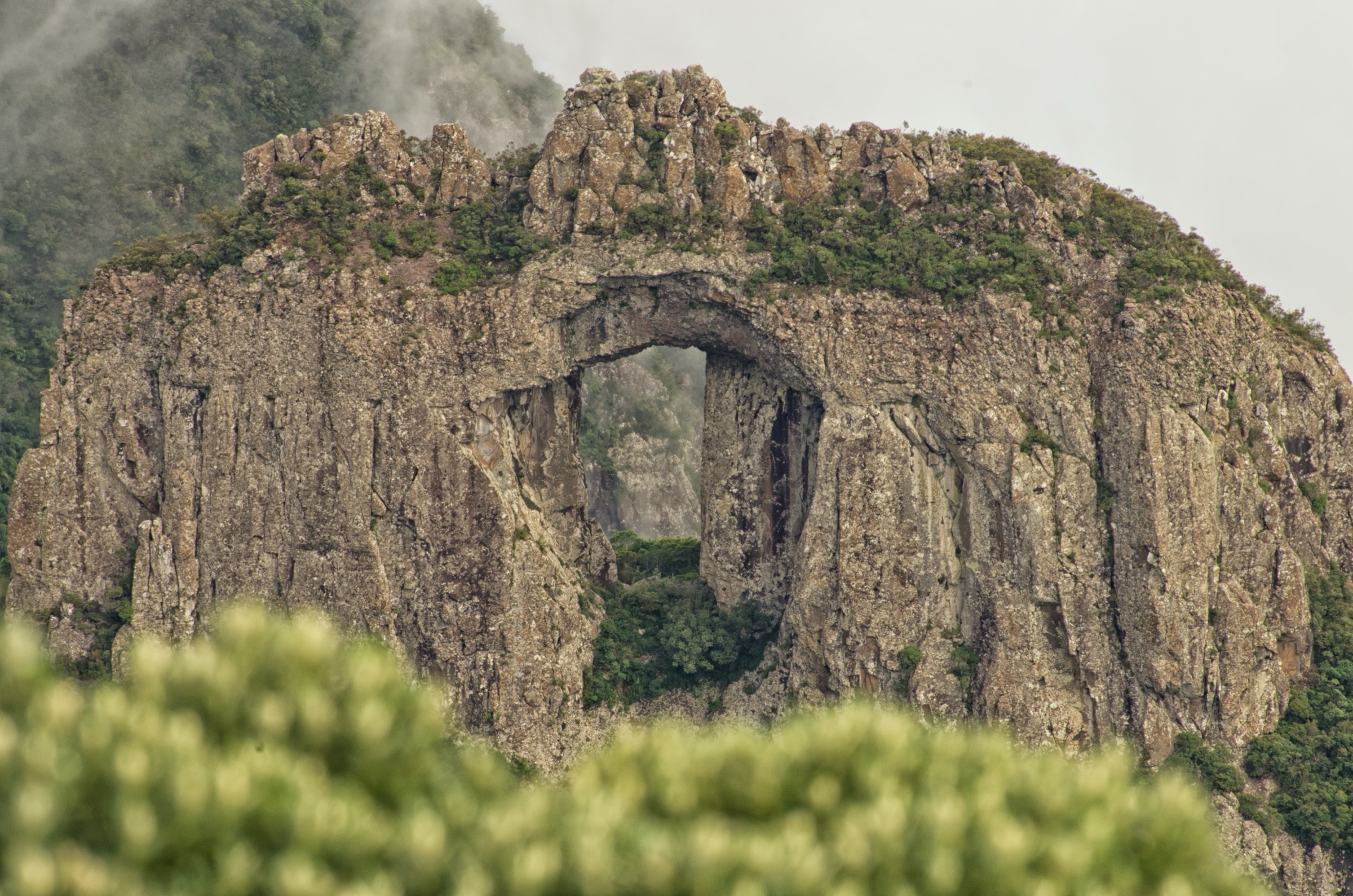
The Minas Gerais Espinhaço entry covers the southern and central Espinhaço landscapes outside the separately listed Serra do Cipó and Chapada Diamantina regions. The hiking character is a mix of quartzite summit routes, campo rupestre ridges, historic Estrada Real landscapes, waterfalls, and conservation areas around Caraça, Ouro Preto, Itambé, Ouro Branco, and Gandarela.
Several key areas are protected as state parks, a national park, or a private natural heritage reserve. Access rules vary by land manager, and current opening status can change because of weather, fire risk, conservation work, and local administration.
The best general season is the drier autumn-winter period. Rainy-season storms can make rocky trails slippery and increase flash-flood risk around waterfalls and stream channels.
Selection rationale
The five hikes were chosen to represent the region’s highest and most recognisable summits, historic-cultural mountain scenery, a compact quartzite ridge objective, and one waterfall trail in the Gandarela sector.
Summary table
| # | Hike | Country | Route type | Distance | Gain | Max elevation | Difficulty |
|---|---|---|---|---|---|---|---|
| 1 | Pico do Sol, Serra do Caraça | Brazil | Out-and-back | 20.0 km | Unresolved | 2,070-2,072 m | Hard |
| 2 | Pico do Itacolomi | Brazil | Out-and-back | 12.0 km official; 15.6 km AllTrails variant | 755 m on AllTrails variant | 1,772 m | Moderate-hard |
| 3 | Pico do Itambé | Brazil | Out-and-back | 11.3 km | 856 m | 2,002 m | Hard |
| 4 | Pioneiros - Serra de Ouro Branco | Brazil | Out-and-back | 4.2 km | 226 m | Route max unresolved | Moderate |
| 5 | Cachoeira 27 Voltas, Serra do Gandarela | Brazil | Out-and-back | 10.8 km | 302 m | Unresolved | Moderate |
1. Pico do Sol, Serra do Caraça

Snapshot
Itinerary
The route starts from the Santuário do Caraça complex and climbs through the Serra do Caraça toward Pico do Sol, the high point of the reserve and one of the highest points in the Espinhaço. The hike is a long out-and-back through a transition landscape of forest, cerrado, and open rocky high ground.
Why it is essential
Pico do Sol is the high summit of the Caraça mountains and a defining objective of the southern Espinhaço. It also ties the mountain landscape to the historic Santuário do Caraça complex.
Equipment
Mountain hiking equipment, including boots, weatherproof layer, warm layer, headtorch, sun protection, offline navigation, and sufficient water.
Hazards and notes
The route is long and steep. Reserve access rules, guide requirements, and daily trail permissions need confirmation directly with Santuário do Caraça before publication or travel.
GPX / KML links
| Source | URL | Format / access | Reuse status |
|---|---|---|---|
| Serra do Caraça source page | pt.wikipedia.org | Source description | Wikipedia CC BY-SA; not a route file |
External links
- Wikipedia — Serra do Caraça
- Wikipedia — RPPN Santuário do Caraça
- Wikimedia Commons — Vista panorâmica Serra do Caraça
2. Pico do Itacolomi

Snapshot
Itinerary
The official park trail starts from the visitor-centre area and climbs toward the base and summit area of Pico do Itacolomi. The mountain is a historic landmark above Ouro Preto and Mariana. The route returns to the park interior by the same general line unless following a longer mapped variant.
Why it is essential
Pico do Itacolomi is one of the most recognisable mountains in Minas Gerais and a historic marker in the Ouro Preto landscape. It represents the southern Espinhaço’s combination of natural and colonial-era mountain history.
Equipment
Standard to mountain hiking equipment: boots or sturdy shoes, rain layer, sun protection, food, water, and map/GPS. A headtorch is prudent if starting late is possible, but the park source notes an 11:00 departure cut-off for safety.
Hazards and notes
AllTrails marked one Pico do Itacolomi route variant as closed during the research pass. Current park access, opening days, and trail status require direct confirmation with the park/IEF before publication.
GPX / KML links
| Source | URL | Format / access | Reuse status |
|---|---|---|---|
| AllTrails: Pico do Itacolomi | alltrails.com | Source route page | AllTrails terms; route flagged closed; GPX export/reuse not verified |
External links
- Wikipedia — Parque Estadual do Itacolomi
- Wikipedia — Pico do Itacolomi
- AllTrails — Pico do Itacolomi
- Wikimedia Commons — PicoItacolomi.JPG
3. Pico do Itambé

Snapshot
Itinerary
The route climbs through the state park toward Pico do Itambé, a major Espinhaço landmark above Santo Antônio do Itambé, Serro, and Serra Azul de Minas. The ascent reaches open high ground and returns by the same general route.
Why it is essential
Pico do Itambé is one of the key high summits of the Espinhaço in Minas Gerais and a prominent geographical landmark for the surrounding valleys and headwaters.
Equipment
Mountain hiking equipment, including boots, rain layer, warm layer, headtorch, sun protection, navigation backup, food, and water.
Hazards and notes
Park sources note that authorization is required for the Pico do Itambé route. Rainy-season trail closures can occur. Route variant, start point, and permit process need direct local confirmation.
GPX / KML links
| Source | URL | Format / access | Reuse status |
|---|---|---|---|
| AllTrails: Pico do Itambé | alltrails.com | Source route page | AllTrails terms; GPX export/reuse not verified |
External links
- AllTrails — Pico do Itambé
- Wikipedia — Pico do Itambé State Park
- Wikipedia — Pico do Itambé
- Wikimedia Commons — Trilha do Pico do Itambé
4. Pioneiros - Serra de Ouro Branco

Snapshot
Itinerary
The route climbs from the Pioneiros access area onto the Serra de Ouro Branco high ground. It is a short quartzite ridge/viewpoint route within a protected landscape that forms the southern beginning of the Espinhaço chain.
Why it is essential
Serra de Ouro Branco is a historic and scenic Espinhaço landmark with links to the Estrada Real corridor and the early mining landscape of Minas Gerais. The Pioneiros route gives a compact sample of its open ridge terrain.
Equipment
Standard hiking equipment: sturdy shoes, rain layer, water, sun protection, food, and map/GPS.
Hazards and notes
The route is exposed to sun, wind, and lightning. Current trail marking, exact route maximum elevation, and park-specific restrictions need confirmation.
GPX / KML links
| Source | URL | Format / access | Reuse status |
|---|---|---|---|
| AllTrails: Pioneiros - Serra de Ouro Branco | alltrails.com | Source route page | AllTrails terms; GPX export/reuse not verified |
External links
- AllTrails — Pioneiros - Serra de Ouro Branco
- Wikipedia — Parque Estadual da Serra do Ouro Branco
- Wikimedia Commons — Serra de Ouro Branco
5. Cachoeira 27 Voltas, Serra do Gandarela

Snapshot
Itinerary
The trail follows the 27 Voltas waterfall route in the Gandarela landscape, combining forest, stream corridors, and waterfall pools. The route returns by the same line.
Why it is essential
Serra do Gandarela protects a major Quadrilátero Ferrífero/Espinhaço landscape close to Belo Horizonte. Cachoeira 27 Voltas is a representative waterfall hike with good route-stat support and official protected-area context.
Equipment
Standard hiking equipment: sturdy shoes, rain layer, water, sun protection, food, and map/GPS. Use caution on wet rock.
Hazards and notes
ICMBio requests visitor contact/form procedures for Gandarela visitation. Waterfall and stream conditions can change quickly after rain. The official KML found is a park-boundary source map, not an individual route file.
GPX / KML links
| Source | URL | Format / access | Reuse status |
|---|---|---|---|
| AllTrails: Cachoeira 27 Voltas | alltrails.com | Source route page | AllTrails terms; GPX export/reuse not verified |
| ICMBio Gandarela boundary map | icmbio.gov.br | KML boundary | Official boundary source map only; not a trail GPX |
External links
- ICMBio — Parque Nacional da Serra do Gandarela
- AllTrails — Cachoeira 27 Voltas
- Wikimedia Commons — Parque Nacional da Serra do Gandarela
Missing data / follow-up work
- Direct official pages for several Minas Gerais state-park route rules should be rechecked before publication.
- No official route GPX was found for Pico do Sol, Itacolomi, Itambé, or Ouro Branco.
- Pico do Itacolomi current access requires confirmation because a route database variant was marked closed.
- Pico do Sol elevation gain, walking time, permit process, and current route policy remain unresolved.
External links
| Source | URL |
|---|---|
| ICMBio — Parque Nacional da Serra do Gandarela | gov.br/icmbio |
| AllTrails — Pico do Itacolomi | alltrails.com |
| AllTrails — Pico do Itambé | alltrails.com |
| AllTrails — Pioneiros - Serra de Ouro Branco | alltrails.com |
| AllTrails — Cachoeira 27 Voltas | alltrails.com |
| Wikipedia — Serra do Caraça | pt.wikipedia.org |
| Wikipedia — RPPN Santuário do Caraça | pt.wikipedia.org |
| Wikipedia — Parque Estadual do Itacolomi | pt.wikipedia.org |
| Wikipedia — Pico do Itacolomi | pt.wikipedia.org |
| Wikipedia — Pico do Itambé State Park | en.wikipedia.org |
| Wikipedia — Pico do Itambé | pt.wikipedia.org |
| Wikipedia — Parque Estadual da Serra do Ouro Branco | pt.wikipedia.org |