Regional overview
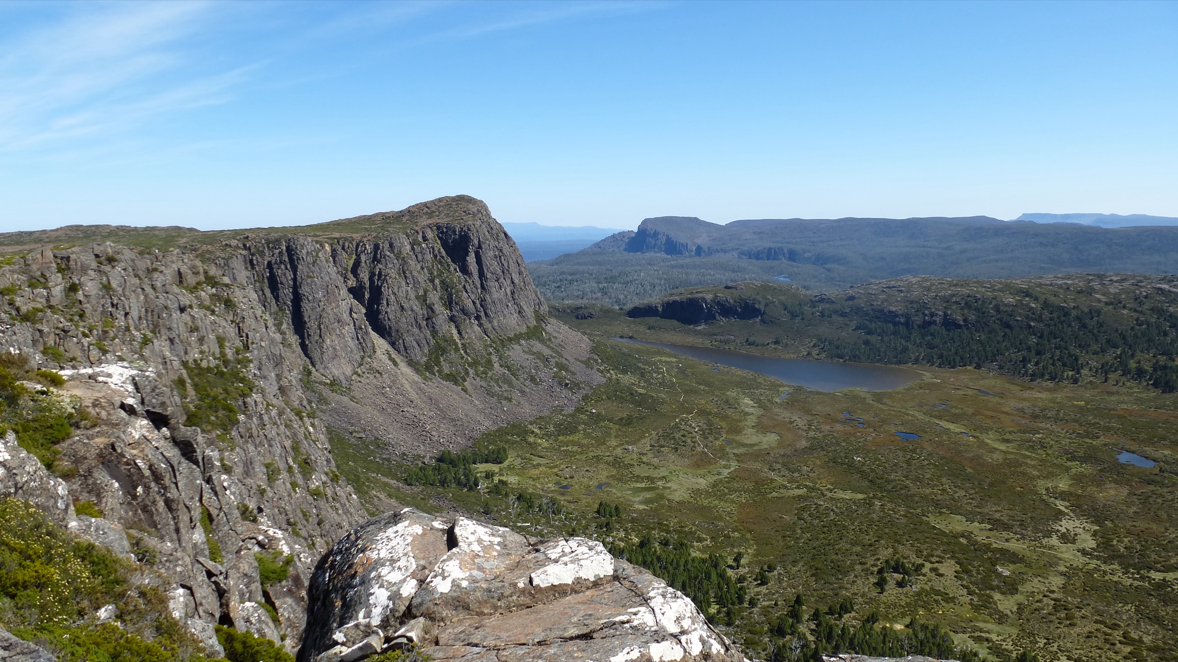
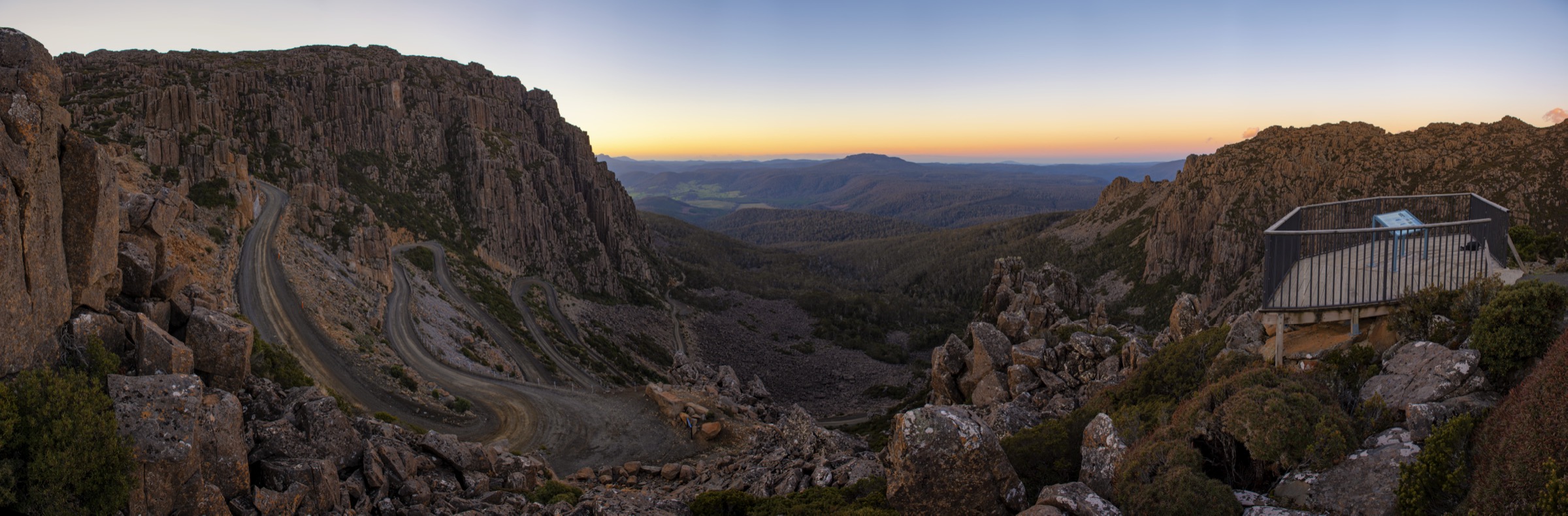
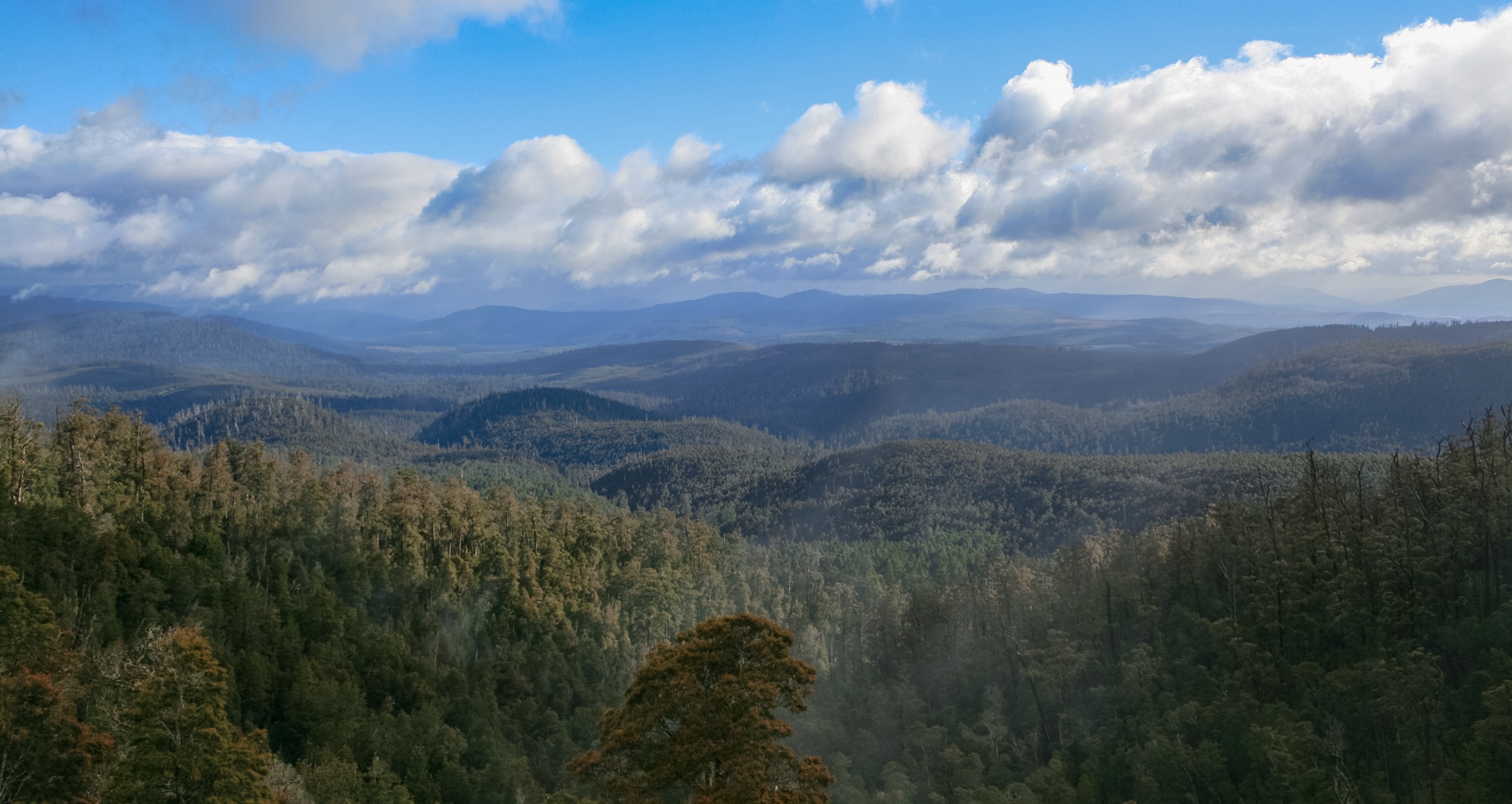
Cradle Mountain–Lake St Clair National Park is the northern half of the Tasmanian Wilderness World Heritage Area and one of the anchor mountain landscapes of the Australian continent. It covers roughly 1,614 km² of Jurassic dolerite peaks — Cradle Mountain (1,545 m), Barn Bluff, Mount Ossa (Tasmania’s highest at 1,617 m) and Mount Olympus above Lake St Clair — set on Permian sedimentary basements and heavily shaped by Pleistocene glaciation. The land is stitched together by tarns, cirques, U-shaped valleys and Australia’s deepest natural lake, Lake St Clair (Leeawuleena, “sleeping water” in palawa kani). Vegetation grades from cool-temperate rainforest of myrtle-beech, King Billy and pencil pines and Pandani in the valley floors, through subalpine eucalypt woodland and buttongrass moorland, to cushion-plant alpine communities on the plateaus.
The park sits on Big River nation and Northern Tasmanian nations Palawa country. At the southern end, the Larmairremener tabelti interpretive loop at Cynthia Bay is the Parks & Wildlife Service (PWS) endorsed Aboriginal cultural heritage walk. The northern-half peak name Warloundigerler is often given as the palawa kani name for Cradle Mountain and appears in secondary sources; walkers should confirm cultural names with the Tasmanian Aboriginal Centre where accuracy matters. The park is contiguous with the Walls of Jerusalem area and forms the northern gate of the 80.8 km Overland Track, which is a bookable multi-day walk and outside the scope of this day-hike catalogue.
Access to the Cradle Valley (northern) end is from Sheffield via the A10 and C132/C136 — roughly 2 h 15 min from Devonport, 2 h 30 min from Launceston and 4 h 30 min from Hobart. The southern end at Cynthia Bay / Lake St Clair is reached via the A10 Lyell Highway at Derwent Bridge, roughly 2 h 30 min from Hobart or Launceston. The two ends of the park are about four hours apart by road.
Shuttle bus and Ronny Creek access. During shuttle operating hours (approximately 08:10–19:00 in peak summer, 08:45–16:00 in mid-winter) private vehicles cannot enter the Cradle Valley road system beyond the boom gate at the Visitor Centre. All access to the Ronny Creek, Snake Hill and Dove Lake trailheads is by the McDermott’s-operated shuttle. Fares apply and are included with a Cradle Mountain Day Icon Parks Pass and with Overland Track bookings. Outside shuttle hours a very small number of private spaces are available at Dove Lake; campervans, caravans and trailers are never permitted beyond the Visitor Centre. There is no shuttle at Cynthia Bay. Weather is the primary hazard on the high walks — Southern Ocean fronts move through year-round, snow is possible in any month, and blizzards and whiteout are a real risk on the summit ridge. A valid Tasmania Parks Pass is required at every trailhead; verify current arrangements at parks.tas.gov.au before travel.
Selection rationale
The five walks were chosen to represent both ends of the park and every rung of the difficulty ladder. Cradle Mountain summit is the iconic strenuous day and the signature high-country scramble of northern Tasmania. Dove Lake Circuit is the essential lake walk and the most photographed short route in the park. Marion’s Lookout via Crater Lake is the recommended weather-alternative to a summit attempt and the classic high-viewpoint loop. The Enchanted Walk is the essential rainforest short walk and the interpretive counterpart to the summit routes. Shadow Lake Circuit anchors the southern end at Cynthia Bay and represents the quieter forest-and-tarn character of Leeawuleena. Together they give a summit, a lake circuit, a high-viewpoint loop, a rainforest walk and a full-day southern circuit.
Summary
| # | Hike | Country | Route type | Distance | Gain | Max elevation | Difficulty |
|---|---|---|---|---|---|---|---|
| 1 | Cradle Mountain summit via Marion’s Lookout | Australia | Out-and-back | 12.8 km | ~700–950 m | 1,545 m | AWTGS Grade 5 |
| 2 | Dove Lake Circuit | Australia | Loop | 6 km | Minimal | ~960 m | AWTGS Grade 3 |
| 3 | Marion’s Lookout via Crater Lake and Wombat Pool | Australia | Loop | ~7.5 km | ~380 m | ~1,223 m | AWTGS Grade 3–4 |
| 4 | Enchanted Walk | Australia | Loop | 1.1 km | Negligible | ~890 m | AWTGS Grade 2 |
| 5 | Shadow Lake Circuit (Cynthia Bay) | Australia | Loop | 13 km | ~320 m | ~1,000 m | AWTGS Grade 4 |
1. Cradle Mountain summit via Marion’s Lookout and Kitchen Hut
Snapshot
Itinerary
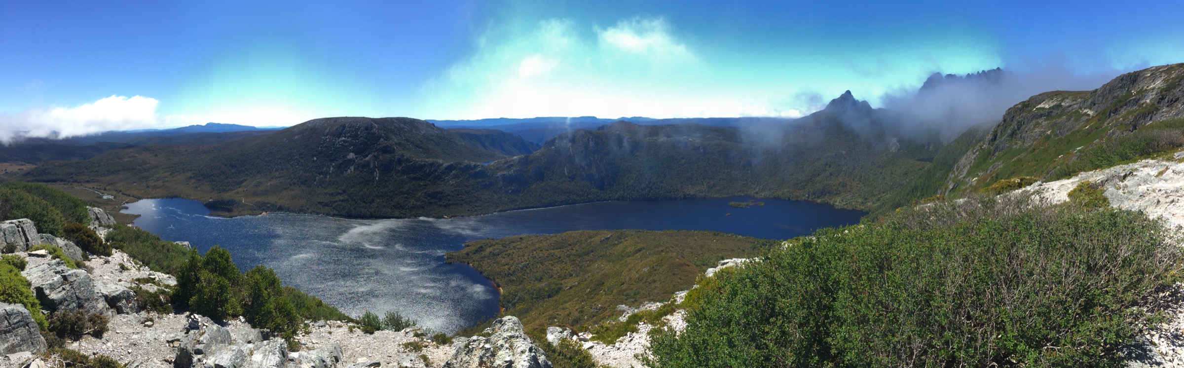
From the Ronny Creek boardwalk the track heads west across buttongrass moorland to Crater Falls, then climbs steeply on stone-pitched steps to Crater Lake and up the flank of Marion’s Lookout at ~1,223 m. Chains help on the final pitches. Above Marion’s the track follows the plateau north-west along the Cradle Cirque escarpment, dropping to Kitchen Hut at ~1,238 m — a small emergency shelter at the base of the summit block.
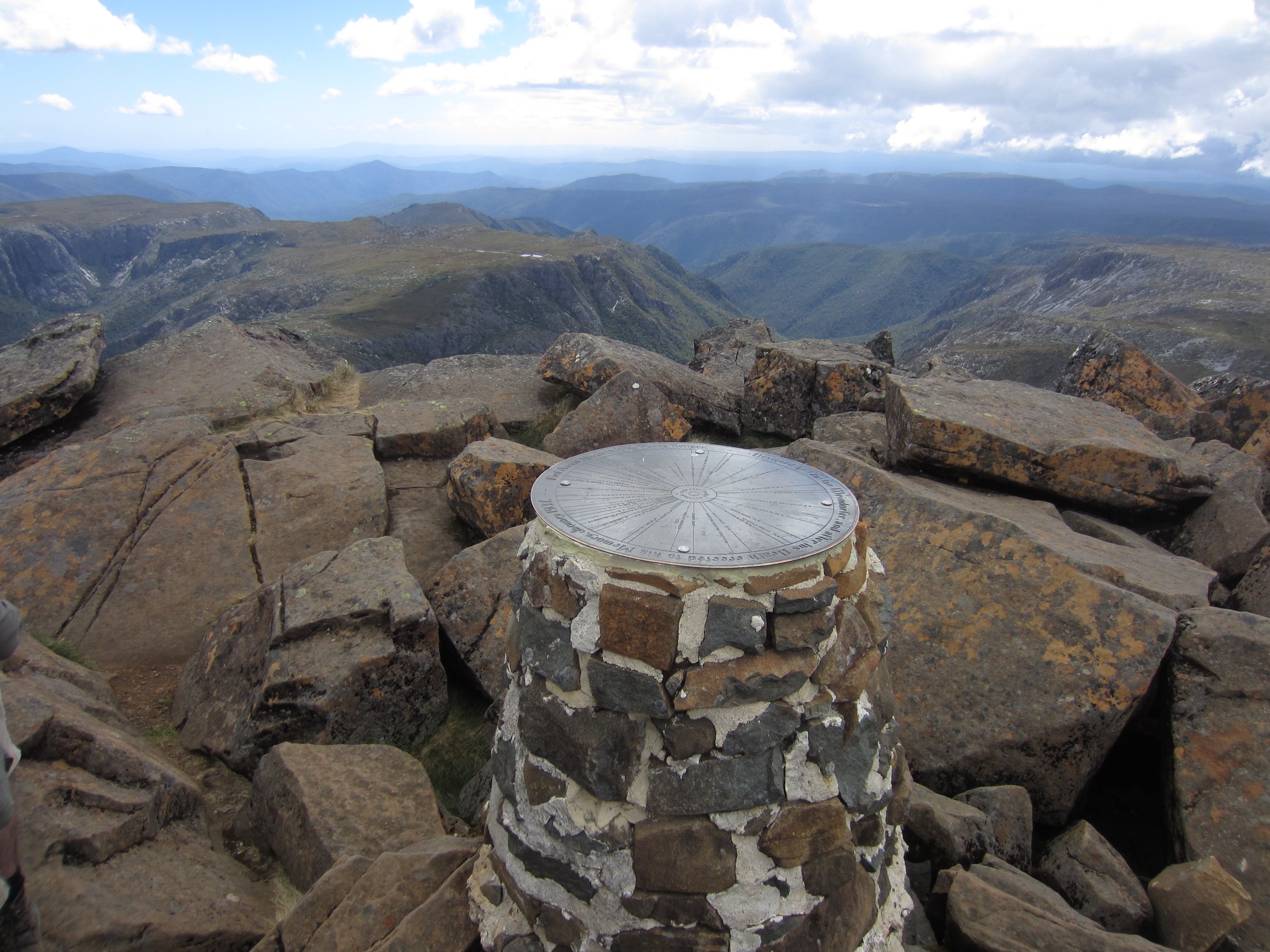
From Kitchen Hut a marked line of orange snow poles cuts west onto the dolerite scree of Cradle Mountain’s north-eastern face. The final 250–300 m of ascent is a sustained boulder-hop and scramble; poles are useless from here and hands are essential. The summit at 1,545 m is a jumbled block of quartzite-capped dolerite with views south down the Overland Track toward Barn Bluff and Mount Ossa, west to the Walls of Jerusalem, and north to Bass Strait on the clearest days. Return by the same route; the descent from the summit block to Kitchen Hut is the section where injuries most commonly occur.
Why it is essential
Cradle Mountain is the signature strenuous day in the Australian island alpine repertoire and the definitive test-piece of Tasmania’s northern highlands. It combines a full range of the park’s terrain — moorland, cirque, plateau and dolerite scramble — into a single walk and is the anchor summit of any Cradle-based visit.
Equipment
- Sturdy boots with good grip
- Full weatherproof shell (jacket and overtrousers)
- Insulating warm layer plus a spare
- Hat and gloves outside midsummer
- Water: 2 litres per person; no reliable water on the summit block
- Food for a long day
- Sun protection
- Trekking poles useful to Kitchen Hut; stow for the summit scramble
- PLB or satellite messenger recommended
- Helmet worth considering if walking behind a large party in the scree
Hazards and notes
Weather is the primary hazard. Southern Ocean fronts arrive quickly and can bring cloud, high winds, rain, sleet or snow to the summit in any month. PWS explicitly warns that the summit track “may be impassable” in poor conditions. Turn back at Kitchen Hut if visibility drops, wind rises, or ice is forming on the summit block. The upper scramble is genuine hands-and-feet climbing; wet or icy rock is dangerous. The shuttle timetable governs the walking day — arrange to be back at Ronny Creek before the final shuttle. Dogs are not permitted in the park.
GPX / route file
| Source | URL | Format | Licence / terms | Reuse |
|---|---|---|---|---|
| PWS — Cradle Mountain page | parks.tas.gov.au | Web description | Copyright PWS Tasmania | Reference only |
| PWS — Cradle Mountain shuttle info | parks.tas.gov.au | Web description | Copyright PWS Tasmania | Reference only |
| OpenStreetMap — Overland Track segment | osm.org | OSM way data | ODbL | Reusable with attribution |
Sources
- Parks & Wildlife Service Tasmania — Cradle Mountain page
- Parks & Wildlife Service Tasmania — Cradle Mountain shuttle information
- OpenStreetMap — track and elevation data
2. Dove Lake Circuit
Snapshot
Itinerary
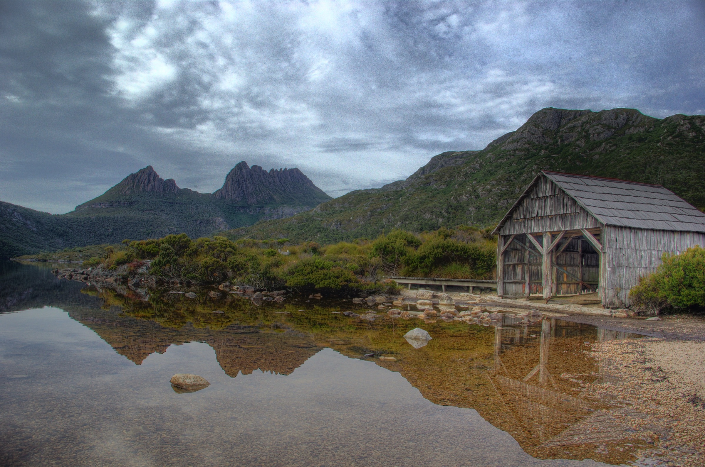
From the Dove Lake car park the track heads clockwise past Glacier Rock and the historic Dove Lake boatshed on the northern shore. It continues around the eastern shore on boardwalk with clear views up to Cradle Mountain’s dolerite face across the lake. The southern shore climbs briefly onto a small rock rib below the Cradle escarpment before descending back into cool-temperate rainforest at Ballroom Forest — a stand of mature Nothofagus cunninghamii myrtle-beech with King Billy and pencil pine in the understorey. The western shore is a level boardwalk back through open scrub to the car park.
Why it is essential
Dove Lake Circuit is the most photographed short walk in Tasmania and the essential lake-level counterpart to a summit day. The Cradle-and-boatshed view from the northern shore is one of the anchor images of Australian mountain landscape, and the Ballroom Forest section is the shortest way to see genuine mature myrtle-beech rainforest in the park.
Equipment
- Standard hiking shoes or boots
- Weatherproof shell
- Warm layer
- Water: 1 litre per person
- Sun protection
Hazards and notes
Exposure on the north-eastern shore in wind and rain. The boardwalk can be slippery when frosted. Snakes possible in warmer months. The shuttle timetable governs the walking day. Dogs are not permitted.
GPX / route file
| Source | URL | Format | Licence / terms | Reuse |
|---|---|---|---|---|
| PWS — Cradle Mountain page | parks.tas.gov.au | Web description | Copyright PWS Tasmania | Reference only |
| OpenStreetMap — Dove Lake Circuit | osm.org | OSM way data | ODbL | Reusable with attribution |
Sources
- Parks & Wildlife Service Tasmania — Cradle Mountain page
- OpenStreetMap — track data
3. Marion’s Lookout via Crater Lake and Wombat Pool
Snapshot
Itinerary
From Ronny Creek the track climbs west past Crater Falls into the small glacial cirque containing Crater Lake. A boat-launch platform at the northern end gives the classic still-water view. The track continues around the north-east shore and climbs steeply on stone-pitched steps and short chained pitches onto Marion’s Lookout at ~1,223 m — the widest single view of Dove Lake and the Cradle escarpment. The return line descends south-east past Wombat Pool, drops through low woodland to Lake Lilla, and follows the boardwalk back to Ronny Creek.
Why it is essential
Marion’s Lookout is the definitive high-viewpoint walk of the northern end and the recommended alternative when weather rules out the summit. It gives the same Dove Lake panorama as the summit route with a fraction of the exposure and none of the scramble.
Equipment
- Sturdy boots
- Weatherproof shell and warm layer
- Water: 1.5–2 litres
- Sun protection
- Trekking poles useful on the descent from Marion’s
Hazards and notes
Chains on the climb to Marion’s; wet or icy rock is dangerous. Weather can shift quickly and snow is possible any month above 1,000 m. Return to Ronny Creek before the last shuttle. Dogs are not permitted.
GPX / route file
| Source | URL | Format | Licence / terms | Reuse |
|---|---|---|---|---|
| PWS — Cradle Mountain page | parks.tas.gov.au | Web description | Copyright PWS Tasmania | Reference only |
| OpenStreetMap — Crater Lake / Marion’s Lookout | osm.org | OSM way data | ODbL | Reusable with attribution |
Sources
- Parks & Wildlife Service Tasmania — Cradle Mountain page
- OpenStreetMap — track data
- Aussie Bushwalking and trailhiking.com.au — Crater Lake / Marion’s Lookout notes
4. Enchanted Walk
Snapshot
Itinerary
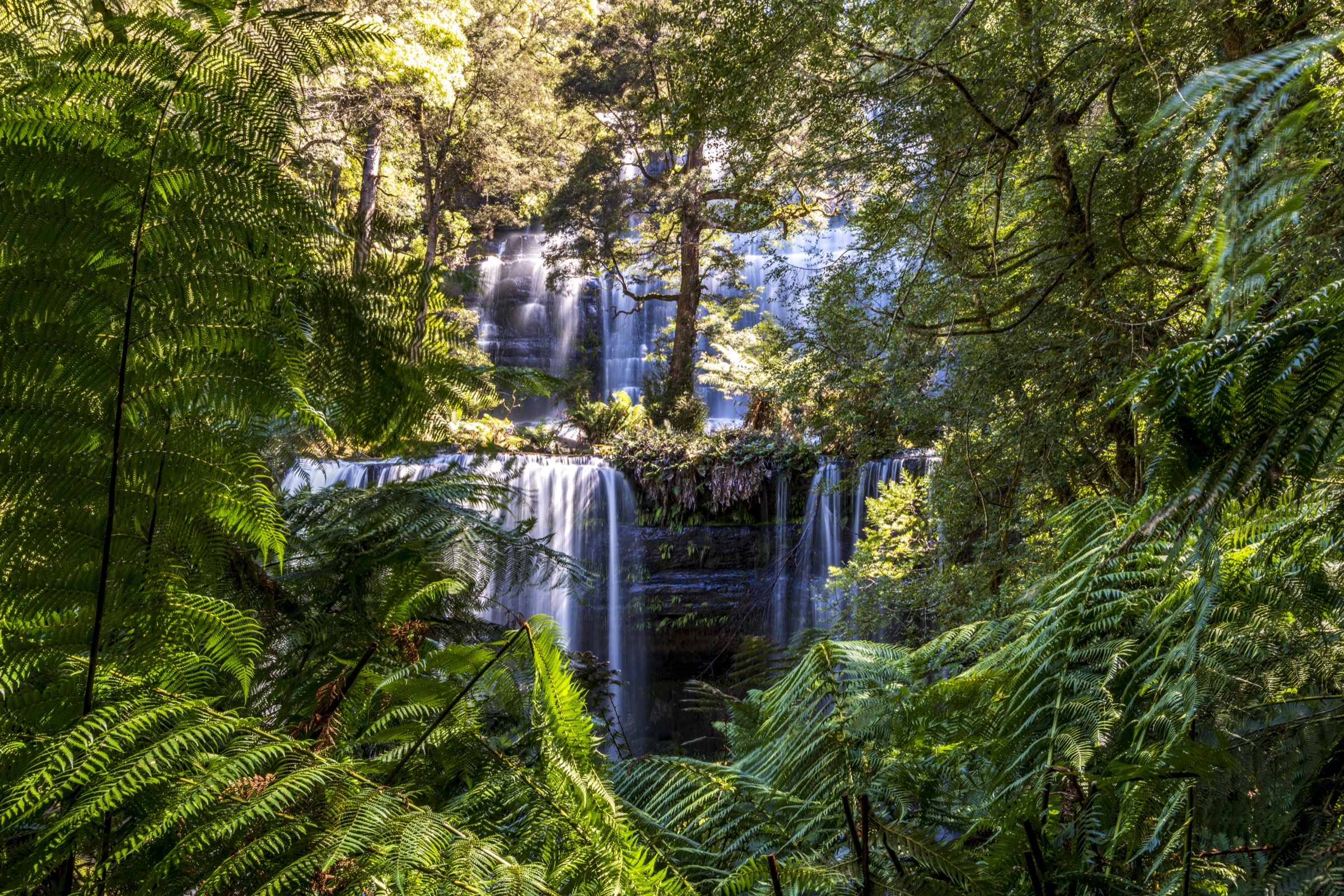
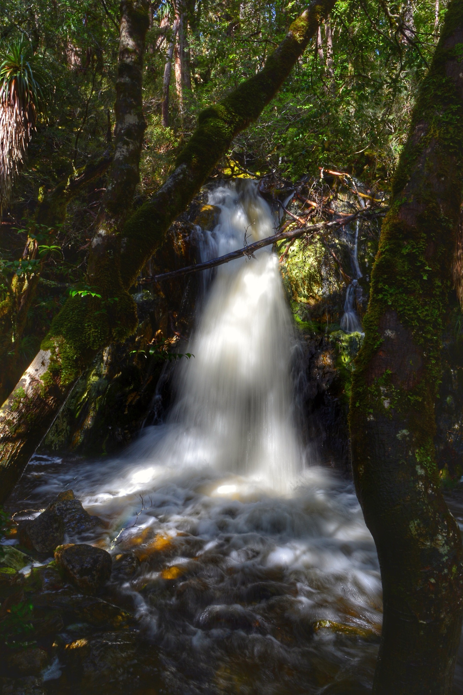
The Enchanted Walk loops through cool-temperate rainforest along Pencil Pine Creek, on a boardwalk that crosses moss beds and stands of King Billy pine, pencil pine and mature myrtle-beech. Interpretive signage covers the rainforest ecology, the endemic Gondwanan conifers, and the park’s Aboriginal cultural context.
Why it is essential
The Enchanted Walk is the essential rainforest short walk and the interpretive counterpart to the summit routes. It is the recommended stop for anyone unable to attempt the higher walks, for parties waiting out weather, and as an introduction to the northern-hemisphere-adjacent Gondwanan rainforest that defines the valley.
Equipment
- Standard walking shoes
- Weatherproof shell
- Warm layer for early or late walking
Hazards and notes
Boardwalk is slippery when frosted. Interpretive access to the wheelchair section is on the first half of the loop. No shuttle needed. Dogs are not permitted.
GPX / route file
| Source | URL | Format | Licence / terms | Reuse |
|---|---|---|---|---|
| PWS — Cradle Mountain page | parks.tas.gov.au | Web description | Copyright PWS Tasmania | Reference only |
| OpenStreetMap — Enchanted Walk | osm.org | OSM way data | ODbL | Reusable with attribution |
Sources
- Parks & Wildlife Service Tasmania — Cradle Mountain page
5. Shadow Lake Circuit (Cynthia Bay)
Snapshot
Itinerary
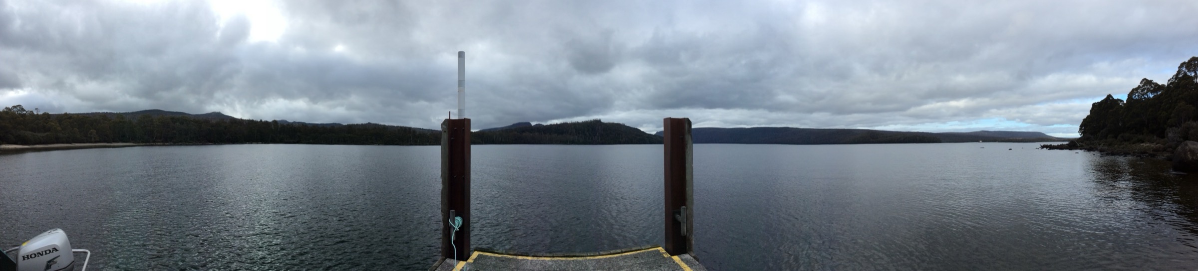
From the Cynthia Bay Visitor Centre the track heads west across the Watersmeet junction and begins a steady climb through mixed eucalypt and rainforest on the flanks below Mount Rufus. The middle section climbs to about 1,000 m on rough forest track and gains the small alpine bowl containing Shadow Lake — a shallow tarn set against the Rufus escarpment. The return line drops south-east through open forest to Forgotten Lake and back to Cynthia Bay via Watersmeet.
Why it is essential
Shadow Lake Circuit is the essential full-day walk at the southern end of the park and the anchor route from Cynthia Bay. It gives the classic Lake St Clair combination of tall wet-eucalypt forest, subalpine tarn and Mount Rufus dolerite escarpment in a single loop.
Equipment
- Sturdy boots
- Weatherproof shell and warm layer
- Water: 2 litres per person
- Food for a long half-day
- Sun protection
- Trekking poles useful on the descent
Hazards and notes
Fuel-stove-only area. No toilets on track. Snow may make the track impassable in winter. Weather can shift quickly and the upper bowl is exposed. Dogs are not permitted. TAS Parks Pass required.
GPX / route file
| Source | URL | Format | Licence / terms | Reuse |
|---|---|---|---|---|
| PWS — Shadow Lake page | parks.tas.gov.au | Web description | Copyright PWS Tasmania | Reference only |
| PWS — Lake St Clair page | parks.tas.gov.au | Web description | Copyright PWS Tasmania | Reference only |
| OpenStreetMap — Shadow Lake circuit | osm.org | OSM way data | ODbL | Reusable with attribution |
Sources
- Parks & Wildlife Service Tasmania — Shadow Lake page
- Parks & Wildlife Service Tasmania — Lake St Clair page
Region-level sources
| Source | Type | Notes |
|---|---|---|
| PWS Tasmania — Cradle Mountain | Official park authority | Primary source for tracks, grading, shuttle and closures |
| PWS Tasmania — Lake St Clair | Official park authority | Southern-end trailhead and Shadow Lake page |
| PWS Tasmania — Shuttle bus information | Official operator info | Fares, hours and vehicle rules |
| Tasmanian Aboriginal Centre — palawa kani programme | Cultural authority | Language and place-name reference |
| OpenStreetMap — openstreetmap.org | Community map | Track geometry cross-checking |
| Bureau of Meteorology — bom.gov.au | Federal weather bureau | Frontal timing, snow and lightning risk |
Further reading
Nearby Tasmania Highlands guides on Storm
- Ben Lomond and the Northeast Highlands
- Hartz Mountains
- Mount Field and Florentine Valley
- Southwest Tasmania
-
Storm — Australia | Walls of Jerusalem and Central Plateau: Essential Day-Hikes
- Storm — Australia | Mount Field and Florentine Valley: Essential Day-Hikes
Missing data / follow-up work
- Marion’s Lookout exact elevation (~1,223 m) is a secondary-source figure; PWS does not publish it.
- Cradle Mountain summit route net gain (~600 m per PWS) and cumulative gain (~700–950 m per trip reports) reflect different measurement conventions; the article shows both.
- Warloundigerler is widely cited as the palawa kani name for Cradle Mountain but is not confirmed against a Tasmanian Aboriginal Centre or PWS page in this pass and should be verified with TAC.
- Shuttle timetable and fare change seasonally; verify at PWS shuttle page before travel.
- No official PWS-provided GPX file was found for any Cradle Valley or Cynthia Bay route; OpenStreetMap is the most reliable geometry source.