Regional overview
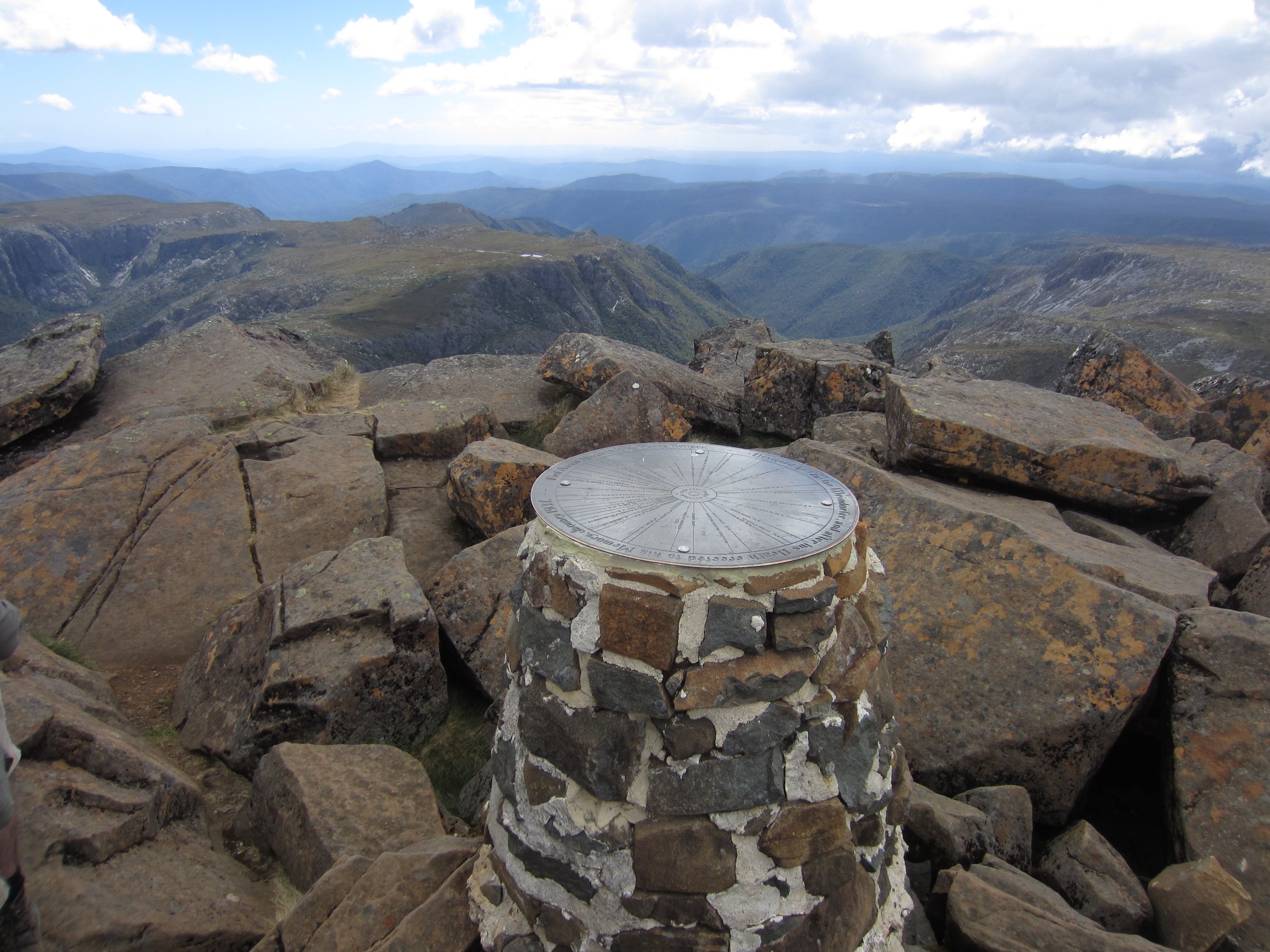
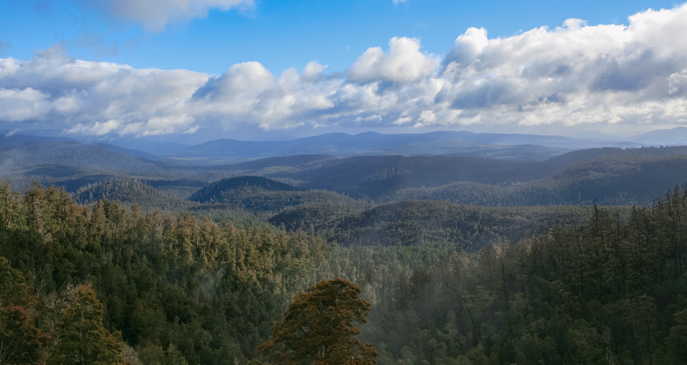
The Central Plateau of Tasmania is Australia’s most extensively glaciated dolerite tableland — a Jurassic sill uplifted and later stripped by Pleistocene ice caps into a maze of tarns, cirque lakes and scarp faces above 1,000 m. Its signature vegetation is the endemic Gondwanan conifer suite: pencil pine (Athrotaxis cupressoides) and King Billy pine (Athrotaxis selaginoides), fire-sensitive lineages that survived the K–Pg extinction and are now retreating under climate change and the 2016 dry-lightning fires that killed old-growth pencil pine on the plateau’s western edge. The Walls of Jerusalem sub-massif is the plateau’s most theatrical corner: dolerite ramparts — West Wall, King Davids Peak (1,499 m), Solomons Throne (1,470 m), The Temple (1,446 m) and Mount Jerusalem (1,459 m) — enclose a shallow basin studded with tarns (Solomons Jewels, Lake Salome, Pool of Bethesda) and pencil pine groves. The whole area sits inside the Tasmanian Wilderness World Heritage Area (TWWHA, inscribed 1982 and later extended).
The plateau is the traditional country of the Lairmairrener (Big River nation) Palawa people, whose seasonal use extended across the Central Highlands and upper Ouse, Clyde and Dee catchments. The northern rim is on the country of the Pallittorre band. All European names inside the Walls — Jerusalem, Herods Gate, Damascus Gate, Solomons Throne, Bethesda, Dixons Kingdom — date from surveyor James “Philosopher” Smith and his colleagues in 1849; walkers are asked to acknowledge Palawa Country and to treat the biblical names as a colonial overlay.
Walls of Jerusalem is genuinely thin on true day walks. There are no through-roads and virtually every headline feature sits behind the 3 km, ~600 m climb from the Trappers Hut car park onto the plateau. Parks & Wildlife Service Tasmania (PWS) markets the area as a 2–4 day walk. The five hikes below reflect that reality: one hard long-day loop into the Central Walls, one shorter Walls-only day to Trappers Hut, one very long summit day to Mount Jerusalem, one iconic short lookout at Devils Gullet, and one Great Western Tiers day on the northern rim at Quamby Bluff. Access to the Walls car park is via Mole Creek and Mersey Forest Road (C171) — about 29 km of gravel from Mole Creek. Devils Gullet is reached from the same corridor. Quamby Bluff and Pine Lake are reached from Highland Lakes Road (A5) from Deloraine.
Weather hazards are severe and year-round: snow, hail and whiteouts occur in every calendar month, wind exposure is total once above the treeline, tarns and creeks can freeze in winter, and the plateau’s peat-and-cushion vegetation is easily damaged by boot-braiding off marked track. A valid Tasmania Parks Pass is required at every trailhead. Overnight walks in the Walls require the free PWS walker registration; camping is fuel-stove-only under the TWWHA management plan and is limited to Wild Dog Creek, Dixons Kingdom and Lake Adelaide platforms. Leave-No-Trace practice is not optional here — this is the most fire- and trampling-sensitive alpine landscape in Australia. Verify current arrangements at parks.tas.gov.au before travel.
Selection rationale
The five walks were chosen to give a full picture of a sub-region that is not natively day-hike-shaped. The Central Walls long day is the essential single-day sample of the Walls themselves — a hard out-and-back through Herods Gate, Lake Salome and Damascus Gate that gives every headline feature of the multi-day walk in one push. Trappers Hut return is the shorter half-day that reaches the plateau edge without committing to the long day. Mount Jerusalem summit day is the marginal-day option for very strong parties who want the highest named peak in the sub-region. Devils Gullet Lookout is the iconic short walk of the Central Plateau — a boardwalk to a 220 m dolerite gorge above the Fisher River. Quamby Bluff is the essential dayable summit on the northern rim of the Great Western Tiers, the escarpment that walls off the plateau from the Deloraine plain.
Summary
| # | Hike | Country | Route type | Distance | Gain | Max elevation | Difficulty |
|---|---|---|---|---|---|---|---|
| 1 | Walls of Jerusalem Central Walls (long day) | Australia | Out-and-back | ~20–22 km | ~800–900 m | ~1,320 m | Grade 4–5 (long day) |
| 2 | Trappers Hut return | Australia | Out-and-back | ~6 km | ~600 m | ~1,200 m | Grade 3 |
| 3 | Mount Jerusalem summit (very long day) | Australia | Out-and-back | ~26–28 km | ~1,000–1,100 m | 1,459 m | Grade 5 (marginal day) |
| 4 | Devils Gullet Lookout | Australia | Out-and-back | ~1.6 km | ~30 m | ~1,050 m | Grade 2 |
| 5 | Quamby Bluff | Australia | Out-and-back | ~8–9 km | ~750 m | 1,227 m | Grade 4 |
1. Walls of Jerusalem — Central Walls long day
Snapshot
Itinerary
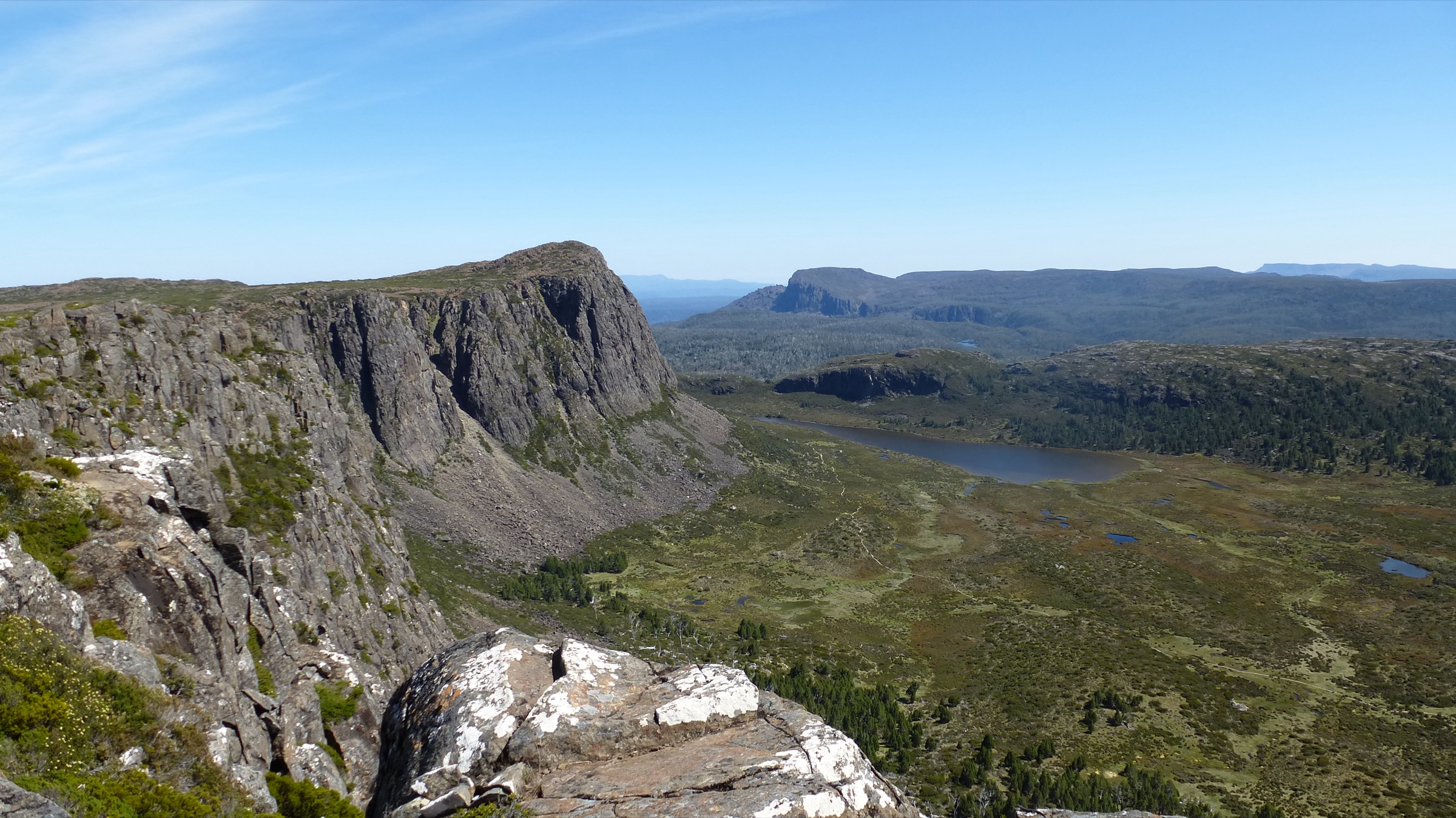
From the registration booth at the Walls car park the track climbs steeply north-east through open eucalypt woodland on stone-pitched steps and roots. The 3 km climb to the plateau edge gains about 600 m and passes Trappers Hut — a small day-shelter — before the ground rolls onto the plateau proper at Wild Dog Creek. The track continues north-east across buttongrass, cushion plant and pencil pine grove toward the base of the dolerite escarpment at Herods Gate, the southern entry to the Central Walls.
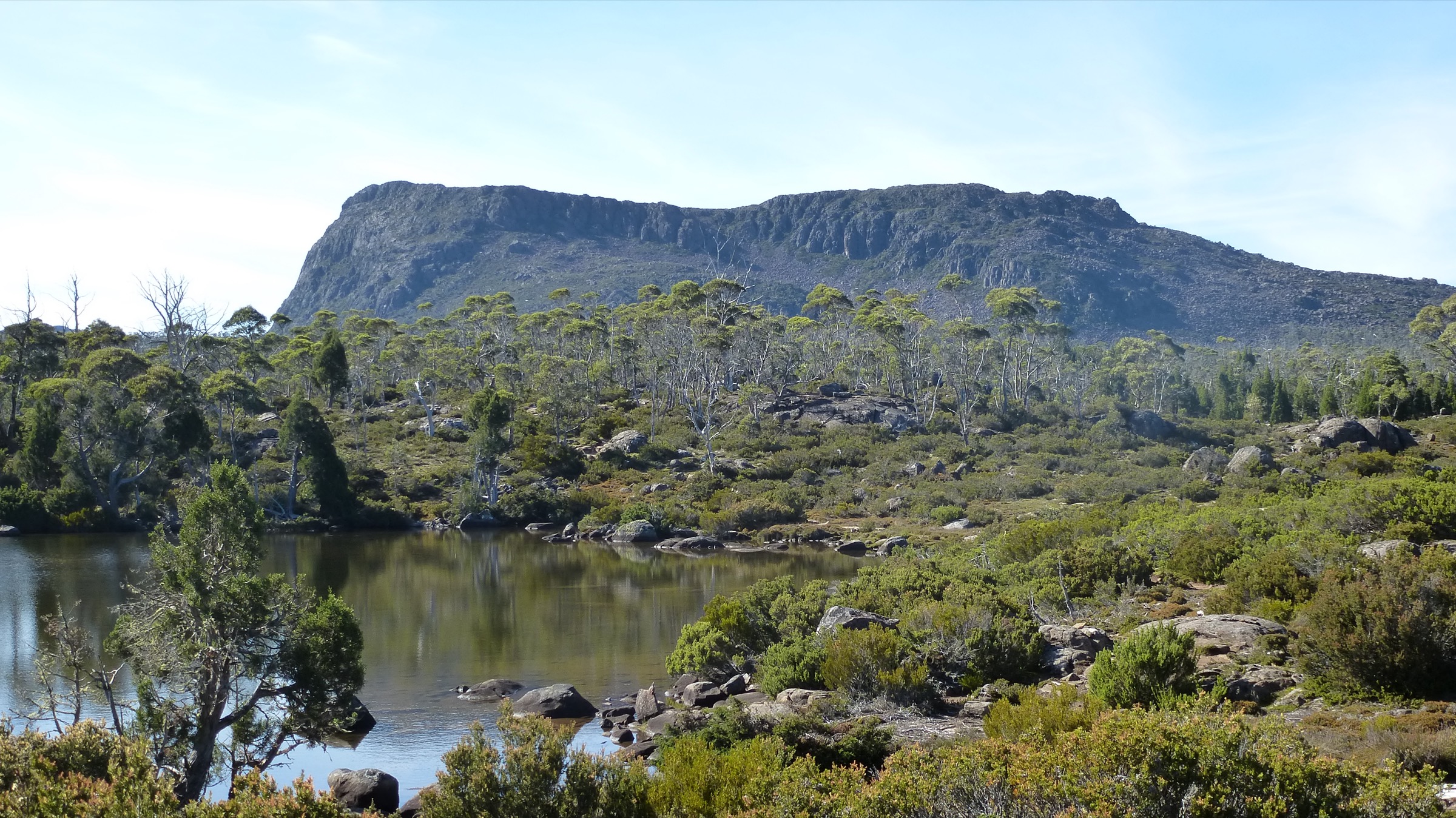
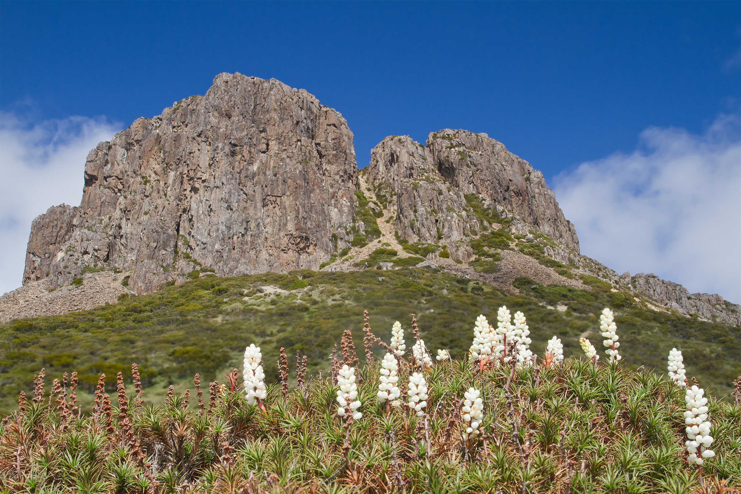
Above Herods Gate the track drops into the shallow basin of the Central Walls with the chain of tarns known as Solomons Jewels on the left and the walls of The Temple and Solomons Throne rising sharply on the right. A branch north to Lake Salome — a still tarn at the foot of the West Wall — is an essential side trip. The main line continues east past Dixons Kingdom Hut and climbs onto Damascus Gate saddle at ~1,320 m, from where the whole basin, Mount Jerusalem to the north and King Davids Peak to the north-west open out. Return by the same route; the descent from Trappers Hut back to the car park is the section where injuries most commonly occur.
Why it is essential
This is the definitive dayable sample of the Walls and the only way to see the central basin, Lake Salome and Damascus Gate without committing to a multi-day carry. It is long, hard and weather-serious, but it takes in every headline feature of the sub-region in a single push.
Equipment
- Sturdy boots
- Full weatherproof shell
- Two insulating layers, hat and gloves
- Water: 2–3 litres per person; carry water treatment for tarns
- Food for a long day
- Sun protection
- Trekking poles useful for the initial climb and long descent
- PLB or satellite messenger recommended
- Fuel stove if brewing on the plateau; no fires anywhere in the TWWHA
Hazards and notes
Weather is the primary hazard. Snow, hail and whiteout occur in every calendar month above 1,000 m. Cloud on the plateau makes navigation difficult; carry map and compass and know the retreat line back to Trappers Hut. Peat and cushion plant vegetation is fragile — stay on the marked or hardened track and use boot-cleaning stations where provided. Fuel-stove-only; no fires. Water in shoulder seasons may be frozen. Dogs are not permitted. Parks Pass required.
GPX / route file
| Source | URL | Format | Licence / terms | Reuse |
|---|---|---|---|---|
| PWS — Walls of Jerusalem NP | parks.tas.gov.au | Web description | Copyright PWS Tasmania | Reference only |
| OpenStreetMap — Walls of Jerusalem track | osm.org | OSM way data | ODbL | Reusable with attribution |
| trailhiking.com.au — Walls of Jerusalem | trailhiking.com.au | Web + GPX | Site-specific terms | Verify before reuse |
Sources
- Parks & Wildlife Service Tasmania — Walls of Jerusalem NP page
- trailhiking.com.au — Walls of Jerusalem entry
- OpenStreetMap — track data
2. Trappers Hut return
Snapshot
Itinerary
From the Walls of Jerusalem car park the track climbs steeply through open eucalypt woodland on stone-pitched steps and roots. The 3 km ascent gains about 600 m and ends at Trappers Hut, a small day-use shelter on the southern edge of the plateau. From Trappers Hut the view opens north across buttongrass and pencil pine toward Solomons Throne and the entry to Herods Gate. Return by the same route.
Why it is essential
Trappers Hut return is the essential half-day option for anyone unwilling or unable to commit to the full Central Walls day. It gives the plateau edge, the pencil pine transition and the first view of the walls without the long committing walk-out, and is a good shakedown before a full multi-day trip.
Equipment
- Sturdy boots
- Weatherproof shell and warm layer
- Water: 1.5 litres per person
- Food
- Sun protection
- Trekking poles useful on descent
Hazards and notes
Steep, rooty and muddy after rain. Snow possible in shoulder seasons. Weather on the plateau edge can be significantly worse than at the car park. Dogs are not permitted. Parks Pass required.
GPX / route file
| Source | URL | Format | Licence / terms | Reuse |
|---|---|---|---|---|
| PWS — Walls of Jerusalem NP | parks.tas.gov.au | Web description | Copyright PWS Tasmania | Reference only |
| OpenStreetMap — Trappers Hut track | osm.org | OSM way data | ODbL | Reusable with attribution |
Sources
- Parks & Wildlife Service Tasmania — Walls of Jerusalem NP page
Photos
Photo status: No licence-compatible image specific to Trappers Hut was found in this pass. The Damascus Gate and Solomons Jewels images above cover the plateau immediately beyond.
3. Mount Jerusalem summit (very long day)
Snapshot
Itinerary
The route follows the Central Walls day-hike itinerary through Trappers Hut, Wild Dog Creek, Herods Gate and Damascus Gate to Dixons Kingdom Hut, then leaves the marked track and climbs the summit spur of Mount Jerusalem — approximately 1.2 km and 200 m of ascent — to the summit at 1,459 m. Views cover the whole Central Plateau, the Overland Track corridor to the west and, on clear days, the Great Western Tiers escarpment north to the plains. Return by the same route.
Why it is essential
Mount Jerusalem is the highest named peak in the sub-region and the definitive summit of the eastern Walls. Included here as a very-long-day option for strong parties; more commonly done as a Day 2 side-trip from Dixons Kingdom Hut on a multi-day trip.
Equipment
- Full mountain hiking kit: sturdy boots, weatherproof shell, warm layers, gloves, hat
- Navigation: topographic map, compass, GPS with waypoints
- Emergency communicator (PLB or satellite messenger)
- Water: 3 litres per person
- Food for a long day
- Headtorch mandatory — day is long
Hazards and notes
Length is the primary hazard. Navigation on the summit dome in cloud is difficult; do not commit to the summit spur if visibility is poor. Weather on the plateau can shift rapidly. Fuel-stove-only. Peat and cushion plant vegetation is fragile — stay on the marked track. Dogs are not permitted. Parks Pass required. Register in the PWS walker registration book at the trailhead.
Photos
Photo status: No licence-compatible image of Mount Jerusalem summit itself meeting the 2400 px shipping threshold was found in this pass.
GPX / route file
| Source | URL | Format | Licence / terms | Reuse |
|---|---|---|---|---|
| PWS — Walls of Jerusalem NP | parks.tas.gov.au | Web description | Copyright PWS Tasmania | Reference only |
| OpenStreetMap — Mount Jerusalem | osm.org | OSM way data (partial) | ODbL | Reusable with attribution |
| trailhiking.com.au — Walls of Jerusalem | trailhiking.com.au | Web + GPX | Site-specific terms | Verify before reuse |
Sources
- Parks & Wildlife Service Tasmania — Walls of Jerusalem NP page
4. Devils Gullet Lookout
Snapshot
Itinerary
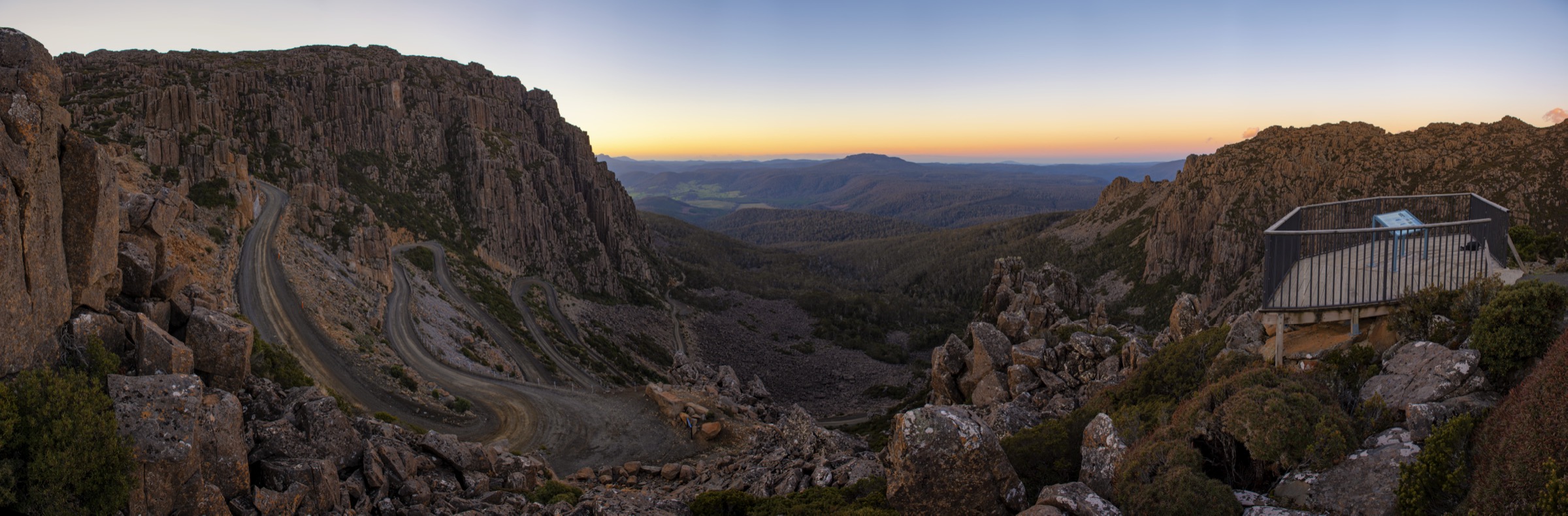
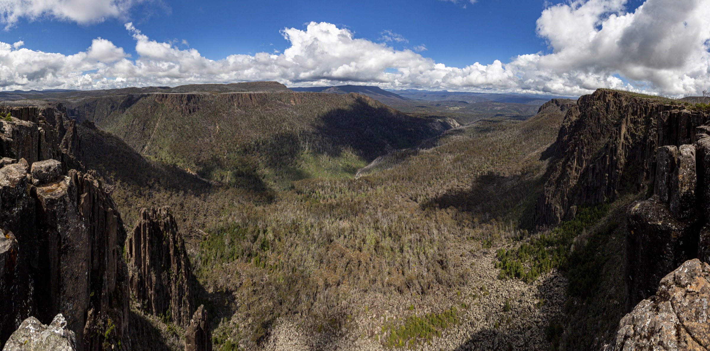
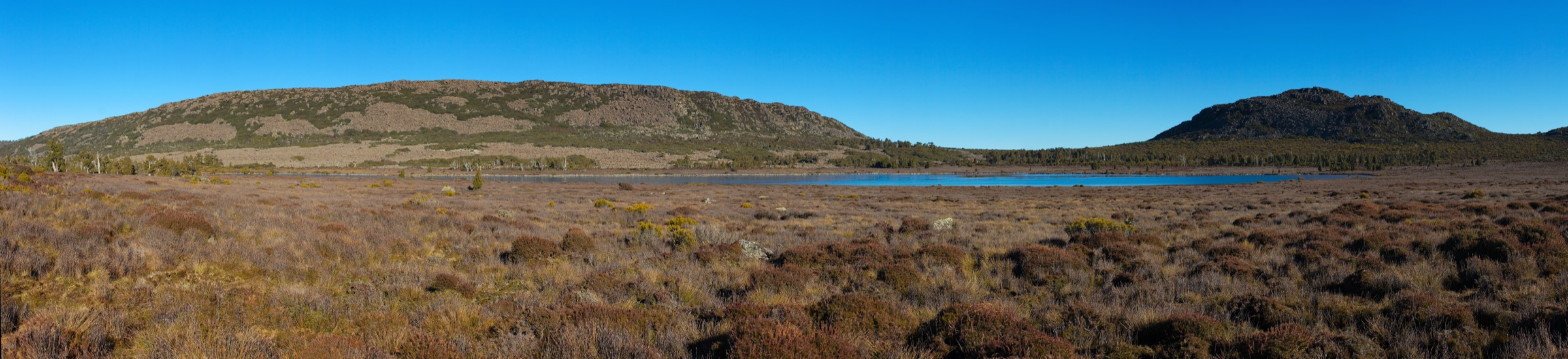
A short boardwalk and stone-pitched path from the Devils Gullet car park climbs gently through pencil pine and low subalpine scrub to the cliff-edge viewing platform above the Fisher River. The platform overlooks a 220 m dolerite gorge that drops sharply into the river bed. Interpretive signage covers the geology of the plateau, the pencil pine ecology, and the 2016 fires.
Why it is essential
Devils Gullet is the iconic short walk of the Central Plateau. It is the most efficient way to see the plateau’s dolerite escarpment and pencil pine landscape without a plateau day, and is the recommended stop for any drive along Mersey Forest Road.
Equipment
- Standard walking shoes
- Weatherproof shell
- Warm layer — the plateau is significantly colder than the valley
- Water and sun protection
Hazards and notes
Cliff-edge exposure at the platform; the drop is unfenced on some rock sections. High wind can make the platform dangerous. No barriers between the boardwalk and the plateau tarn systems — do not walk off-track. Dogs are not permitted. Parks Pass required (Central Plateau Conservation Area is a PWS reserve).
GPX / route file
| Source | URL | Format | Licence / terms | Reuse |
|---|---|---|---|---|
| PWS — Central Plateau Conservation Area | parks.tas.gov.au | Web description | Copyright PWS Tasmania | Reference only |
| OpenStreetMap — Devils Gullet track | osm.org | OSM way data | ODbL | Reusable with attribution |
Sources
- Parks & Wildlife Service Tasmania — Central Plateau Conservation Area page
5. Quamby Bluff
Snapshot
Itinerary
From the Highland Lakes Road car park the track climbs steadily north through wet eucalypt forest and myrtle-beech on a well-defined path. The middle section works up a broad forested spur toward the base of the escarpment. Above the treeline the route becomes a boulder scramble on dolerite blocks up onto the summit dome at 1,227 m — an outlier of the Great Western Tiers separated from the main plateau by the Meander valley.
Views cover the plateau escarpment south to the Walls of Jerusalem, the Great Western Tiers west to Cradle country, and the Deloraine plain and Tamar catchment north to Bass Strait. Return by the same route.
Why it is essential
Quamby Bluff is the essential dayable summit of the Great Western Tiers escarpment and the anchor walk of the plateau’s northern rim. It gives the same escarpment and plateau view as multi-day walks on the plateau, in a single day from Deloraine.
Equipment
- Sturdy boots with grippy soles
- Weatherproof shell and warm layer
- Water: 2 litres per person
- Food for a long half-day
- Sun protection
- Trekking poles useful on the descent
- Helmet worth considering if walking behind a large party in the boulder field
Hazards and notes
The summit boulder field is a genuine scramble; wet or icy rock is dangerous. Cloud and whiteout on the summit dome make navigation difficult. Cold winds year-round. Track can be icy in winter. Dogs are not permitted in the reserve. Parks Pass required.
Photos
Photo status: No licence-compatible image of Quamby Bluff meeting the 2400 px shipping threshold was found in this pass.
GPX / route file
| Source | URL | Format | Licence / terms | Reuse |
|---|---|---|---|---|
| PWS — Great Western Tiers Conservation Area | parks.tas.gov.au | Web description | Copyright PWS Tasmania | Reference only |
| OpenStreetMap — Quamby Bluff track | osm.org | OSM way data | ODbL | Reusable with attribution |
| trailhiking.com.au — Quamby Bluff | trailhiking.com.au | Web + GPX | Site-specific terms | Verify before reuse |
Sources
- Parks & Wildlife Service Tasmania — Great Western Tiers Conservation Area page
- trailhiking.com.au — Quamby Bluff entry
Region-level sources
| Source | Type | Notes |
|---|---|---|
| PWS Tasmania — Walls of Jerusalem NP | Official park authority | Primary source for tracks, grading, walker registration and camping platforms |
| PWS Tasmania — Central Plateau Conservation Area | Official reserve manager | Devils Gullet, Pine Lake and plateau interpretive walks |
| PWS Tasmania — Great Western Tiers Conservation Area | Official reserve manager | Quamby Bluff and northern rim walks |
| trailhiking.com.au — trailhiking.com.au | Independent trail database | Route notes and GPX downloads |
| Tasmanian Aboriginal Centre — palawa kani programme | Cultural authority | Language and place-name reference |
| OpenStreetMap — openstreetmap.org | Community map | Track geometry cross-checking |
| Bureau of Meteorology — bom.gov.au | Federal weather bureau | Frontal timing, snow and lightning risk |
Further reading
Nearby Tasmania Highlands guides on Storm
- Ben Lomond and the Northeast Highlands
- Cradle Mountain and Lake St Clair
- Hartz Mountains
- Mount Field and Florentine Valley
-
Storm — Australia | Cradle Mountain and Lake St Clair: Essential Day-Hikes
- Storm — Australia | Mount Field and Florentine Valley: Essential Day-Hikes
Missing data / follow-up work
- Walls of Jerusalem car park elevation (~750 m) is derived from PWS climb-height figures; no PWS-published trailhead elevation was located.
- Central Walls “day walk” statistics are compiled from PWS multi-day segment descriptions; PWS does not publish a single-day itinerary for the Central Walls.
- Mount Jerusalem summit day is presented as a marginal single-day option; PWS notes describe the summit spur only in the context of a multi-day trip from Dixons Kingdom.
- Quamby Bluff distance and gain vary across secondary sources; the article ranges reflect that.
- No licence-compatible image was found for Trappers Hut, Mount Jerusalem summit itself or Quamby Bluff meeting the 2400 px shipping threshold.
- No official PWS-provided GPX file was found for any Walls, Devils Gullet or Quamby Bluff route.