Regional overview
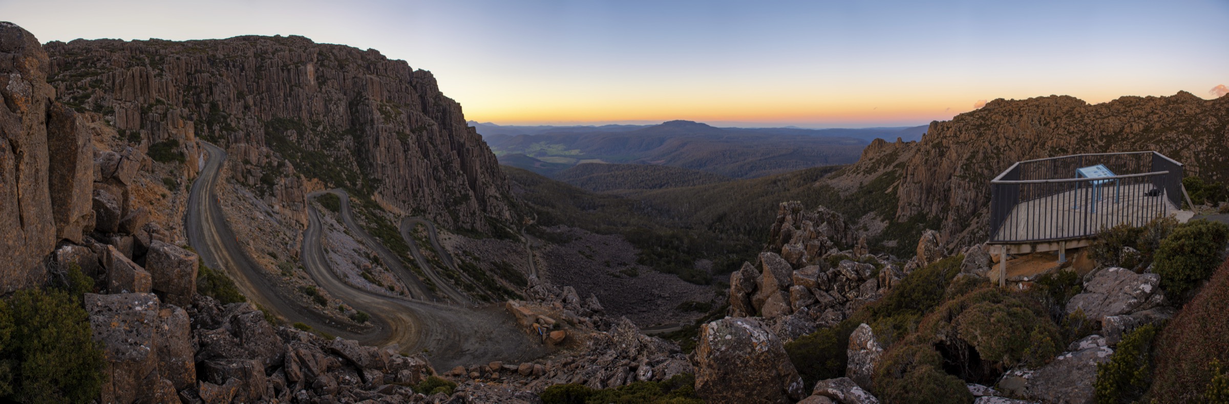
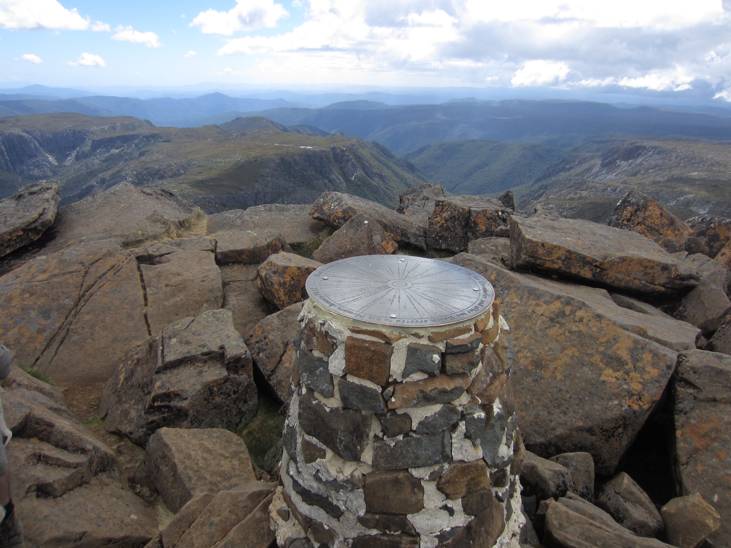
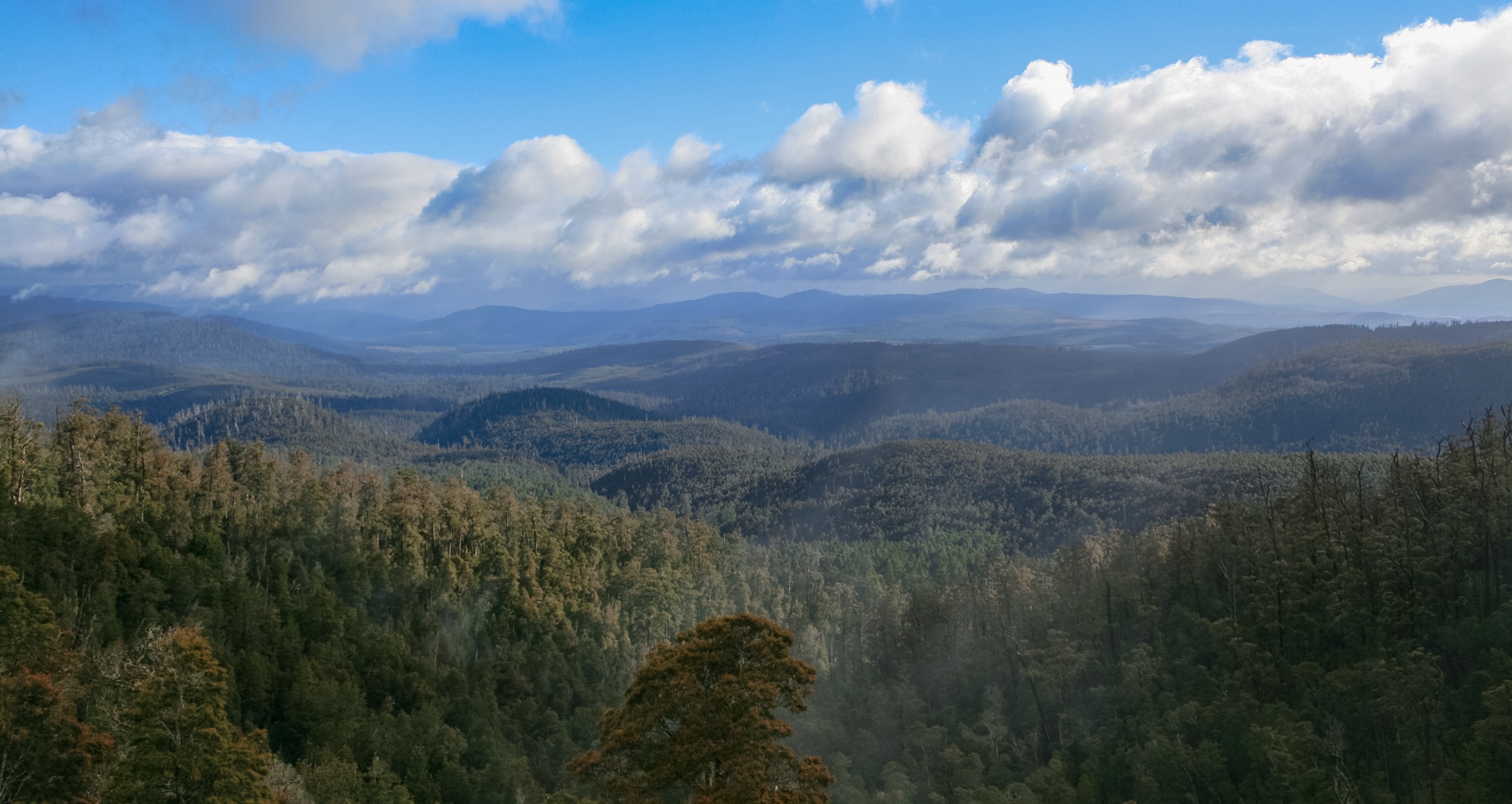
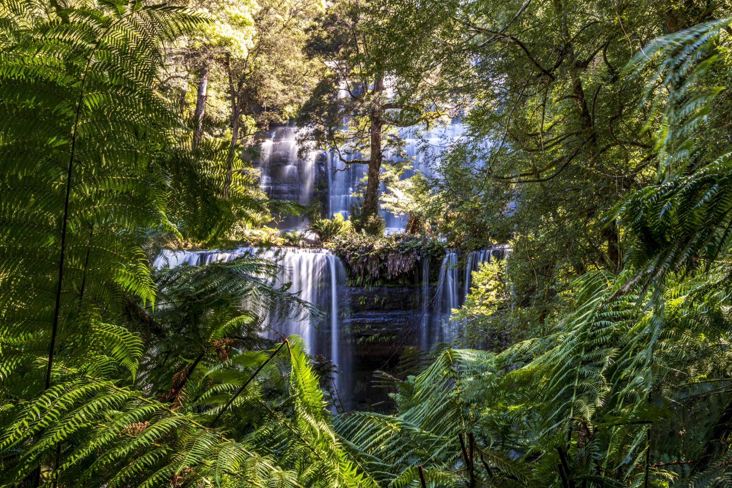
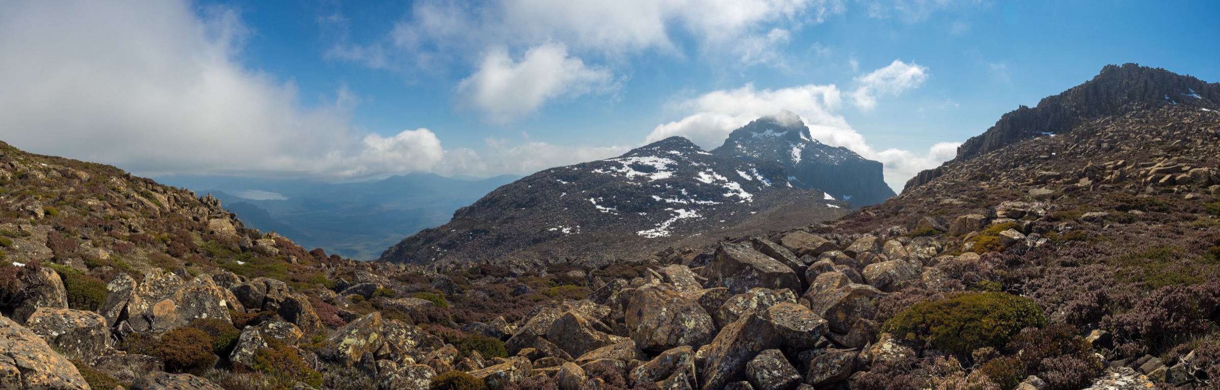
Southwest Tasmania is one of Australia’s most remote and meteorologically severe wilderness areas. The Mount Anne massif, the Arthur Range and the surrounding Scotts Peak Road corridor form the accessible northern edge of Southwest National Park, which lies within the Tasmanian Wilderness World Heritage Area — one of the last remaining temperate wildernesses in the Southern Hemisphere. The region sits on Palawa / Pakana Country, and sovereignty has never been ceded.
The landscape is shaped by ancient quartzite and dolerite ranges rising sharply from button-grass moorland, with glacially carved lakes, unbridged rivers, dolerite boulder fields, and cool-temperate rainforest pockets. Mount Anne, at 1,423 m, is the highest peak in Southwest National Park. The Arthur Range (Eastern and Western Arthurs) stretches south of Lake Pedder as a multi-day expedition objective for experienced parties only and does not offer genuine day-walk terrain. What the Scotts Peak Road corridor does offer are a small number of structured day walks that range from a 20-minute boardwalk to a full-day technical ascent.
Weather is the dominant hazard. The southwest is one of the wettest and windiest corners of Australia; rainfall averages exceed 2,000 mm per year at lower elevations and are higher on the ridgelines. Snow can fall on the Mount Anne massif in any month. Whiteout conditions, strong winds and rapid temperature drops occur year-round. Walkers should plan for conditions far more serious than the season might suggest. The Parks and Wildlife Service (PWS) Tasmania classifies several walks here at Grade 4–5 and strongly urges carrying a Personal Locator Beacon (PLB). PLBs are mandatory in practice on the upper mountain walks; they can be hired from Service Tasmania shops in Hobart (Mon–Fri) and from selected visitor centres.
The principal access route is Gordon River Road from New Norfolk (roughly 2 h 20 min south-west of Hobart), then the 47-km Scotts Peak Dam Road — an unsealed gravel road suitable for 2WD in dry conditions but rough and corrugated. The road is subject to snow, ice and washouts; current conditions and any closures should be checked with PWS Tasmania before travel. A valid Tasmania Parks Pass is required for entry.
Summary table
| # | Hike | Route type | Distance | Estimated time | Difficulty | Verification |
|---|---|---|---|---|---|---|
| 1 | Mount Anne Day Summit | Out-and-back | Trail Hiking Australia: 15 km | 8–10 h | Grade 5 / strenuous technical | Partially verified |
| 2 | Eliza Plateau (Mount Eliza) | Out-and-back | PWS / multiple sources: ~11 km | 6–8 h | Grade 4 / hard | Partially verified |
| 3 | Lake Judd Track | Out-and-back | Multiple sources: ~15–16 km | 6–8 h | Grade 3–4 / moderate–hard | Partially verified |
| 4 | Creepy Crawly Nature Trail | Out-and-back (loop boardwalk) | PWS: 500 m return | ~20 min | Grade 1 / easy | Route verified — PWS official page |
| 5 | Red Knoll Lookout | Out-and-back | ~1 km return | ~20–30 min | Easy | Partially verified — no PWS page confirmed in this pass |
Before you go
Access
All five walks use the Scotts Peak Dam Road off Gordon River Road. The Creepy Crawly Nature Trail sits 2.5 km from the Gordon River Road junction at Frodshams Pass. Red Knoll Lookout is at the southern end of Scotts Peak Road near Scotts Peak Dam. The Condominium Creek car park — trailhead for Hikes 1 and 2 — is roughly 43 km along Scotts Peak Road from Frodshams Pass. The Lake Judd trailhead at Red Tape Creek is also on Scotts Peak Road. There is no public transport to any trailhead; self-drive or a licensed operator transfer is required.
Standard kit for this region
The kit level scales sharply between hikes on this road:
- Creepy Crawly and Red Knoll: walking shoes or light boots, waterproof shell, water, sun protection.
- Lake Judd Track: full day-walking kit — waterproof tramping boots (sections are wet and boggy), warm layers, waterproof shell, map and compass, GPS backup, water, food, first-aid kit, PLB strongly recommended.
- Eliza Plateau / Mount Anne: full mountain kit — sturdy ankle-supporting boots, warm mid-layer, waterproof shell, gloves, hat, food and substantial water, topographic map (1:25 000 SW2 or SW3 sheet), GPS, headtorch, first-aid kit, PLB. For the Mount Anne summit specifically: helmet recommended given rockfall exposure on the dolerite summit block, and experience with exposed scrambling is a prerequisite.
Common regional hazards
- Weather changes rapidly and without warning; whiteout, sleet and wind are possible at any time of year above 800 m.
- Snow on the Mount Anne and Eliza Plateau tracks occurs in all months; ice on rock surfaces is not uncommon even in January.
- The Western Arthurs and Frankland Ranges visible to the south from Red Knoll are multi-day expedition terrain only. They should not be entered without an experienced party, full overnight kit and a PLB, regardless of how close they appear from the road.
- The Lake Judd Track crosses sections of buttongrass bog; navigation markers require close attention.
- Mobile phone coverage on Scotts Peak Road is negligible; a PLB is the only reliable emergency communication tool beyond the car park area.
- Dogs are not permitted in Southwest National Park.
- Walkers who park at Condominium Creek or Lake Judd trailheads should leave a trip plan with a responsible person, consistent with Tasmania PWS walker safety advice.
1. Mount Anne Day Summit
Snapshot
Itinerary
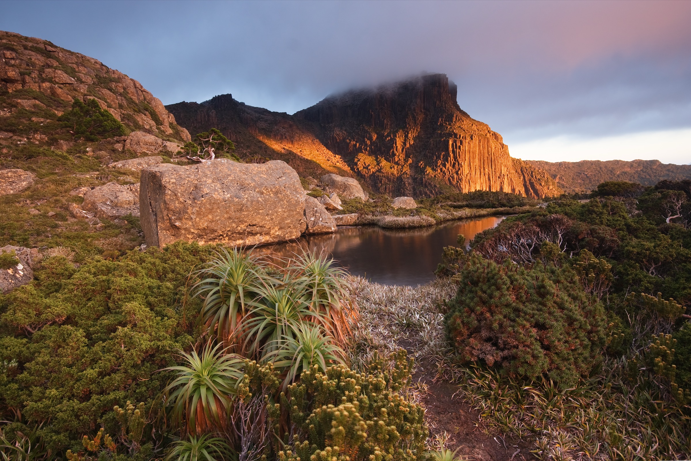
From the Condominium Creek car park, a brief flat approach leads into the first sustained climb through alpine vegetation. The track ascends steadily for approximately 4 km to the High Camp Memorial Hut at around 1,000 m, which has basic facilities and tent platforms; this point is the realistic turnaround for less-experienced or time-pressed walkers. Above High Camp, the route continues across the Eliza Plateau before tackling the final dolerite summit block of Mount Anne. This upper section involves exposed quartzite and dolerite scrambling on the summit approach where a slip could be fatal; helmets are recommended for rockfall exposure. The summit at 1,423 m is the highest point in Southwest National Park and offers views across the lake system, the Arthur Ranges and, in clear conditions, to the Southern Ocean. Return by the same route.
Why it is essential
Mount Anne is the highest peak in Southwest National Park and the defining mountain objective of the Scotts Peak Road area. The summit day walk is at the absolute upper limit of what can reasonably be attempted as a day outing from the car park: the elevation gain, technical summit section and weather exposure combine to make this one of the most serious day walks in Tasmania. It is included here as the marquee objective for very experienced parties — but walkers should honestly assess whether the Eliza Plateau (Hike 2) is the appropriate goal, turning back at High Camp Hut if conditions deteriorate.
Hazards and notes
- Grade 5 — PWS Tasmania classification. Only suitable for very experienced bushwalkers with sound navigation, emergency first aid and prior experience with exposed rock scrambling.
- Snow and ice on the upper section in any month. Do not attempt the summit in poor visibility, strong wind or when snow or ice covers the scrambling sections.
- PLB is strongly urged; no reliable mobile coverage exists above the car park.
- High Camp Hut is for emergency shelter, not overnight use without proper registration; overnight parties staying at Shelf Camp or Lonely Tarns on the multi-day circuit require PWS registration (free, quota applies).
- Helmet recommended on the final summit block due to loose dolerite.
- Allow generous daylight margins — the traverse of the summit block is not a place to be in failing light.
- Dogs are not permitted.
GPX / KML links
| Source | URL | Format | Notes |
|---|---|---|---|
| PWS Tasmania — Mount Anne Circuit walk notes | parks.tas.gov.au | Official walk notes (circuit) | Covers the same trailhead; no standalone day-walk GPX published |
| Trail Hiking Australia — Mount Anne Day Walk | trailhiking.com.au | Third-party route page with stats | Site notice restricts GPX reuse |
| AllTrails — Mount Anne Trail | alltrails.com | Third-party route page | Secondary statistics only |
Further reading
2. Eliza Plateau (Mount Eliza)

Snapshot
Itinerary
The route shares its first 4 km with the Mount Anne summit walk, climbing through subalpine scrub from Condominium Creek to High Camp Hut at approximately 1,000 m. A signed junction near the hut marks the divergence: the Eliza Plateau route continues north-west, traversing steep boulder terrain and scree to reach the plateau rim at Mount Eliza. The plateau itself is a broad, exposed alpine shelf with sweeping views of Lake Pedder, the Franklin Range, and — on clear days — the distant Western Arthurs. The summit of Mount Eliza sits at the plateau’s edge and involves some final scrambling but without the technical exposure of the Mount Anne summit block. Return by the same route.
Why it is essential
The Eliza Plateau is the honest day objective for the Mount Anne massif. It delivers comparable views to the full summit — Lake Pedder spread below, the Arthur Ranges stretching south, quartzite peaks in every direction — without the Grade 5 technical exposure of the Mount Anne summit block. PWS Tasmania has a dedicated Eliza Plateau page that positions this as a named day objective in its own right. For most fit, experienced walkers, this is the appropriate summit for a single day from Condominium Creek.
Hazards and notes
- The plateau is fully exposed; weather can deteriorate without warning. Do not commit to the upper boulder section if cloud is building rapidly.
- Snow and ice are possible at plateau level in any month.
- The boulder sections on the approach to the plateau rim are steep and require careful footing; poles are useful on descent.
- PLB strongly urged; no mobile coverage.
- Dogs are not permitted.
GPX / KML links
| Source | URL | Format | Notes |
|---|---|---|---|
| PWS Tasmania — Eliza Plateau | parks.tas.gov.au | Official park page | No GPX published on official page in this pass |
| We Are Explorers — Mount Eliza Plateau Trail Guide | weareexplorers.co | Third-party route guide | Secondary reference |
Further reading
3. Lake Judd Track
Snapshot
Itinerary
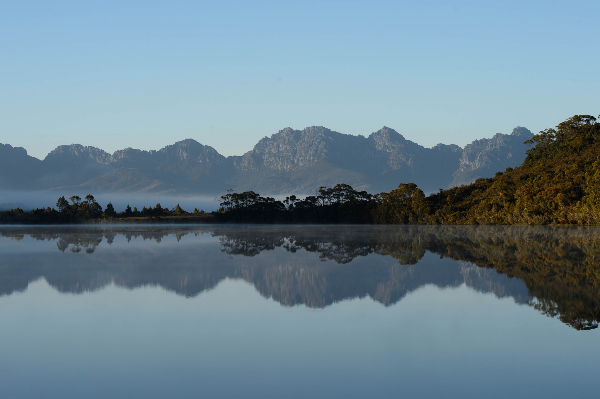
From the Red Tape Creek car park on Scotts Peak Dam Road, the track heads south across buttongrass moorland peppered with pink quartzite outcrops. The first section uses duckboarding to cross the wettest moorland; where the boards end, footing can be boggy and slow. The route passes through forest sections and crosses the Anne River suspension bridge before the final uphill approach to Lake Judd — a glacially carved alpine lake backed by 600-m cliffs of the Mount Anne massif. The lake shore is the turnaround point. Return by the same route.
Why it is essential
Lake Judd is the principal lake-level objective in the Mount Anne area that requires no technical scrambling and is achievable by a fit, experienced walker in a single long day. The combination of buttongrass moorland, quartzite outcrops, suspension bridge and the dramatic cliff backdrop makes it the most varied and scenically representative walk in the corridor short of the mountain itself. PWS Tasmania maintains a dedicated Lake Judd page.
Hazards and notes
- Sections of the track are wet and boggy year-round; waterproof boots are essential.
- The track requires navigational competence; markers are present but the terrain across open moorland can be confusing in poor visibility.
- The Anne River can rise significantly in heavy rain — check conditions before committing to the crossing.
- No shade across the moorland sections; carry adequate water and sun protection.
- PLB strongly recommended; no mobile coverage on the track.
- Dogs are not permitted.
GPX / KML links
| Source | URL | Format | Notes |
|---|---|---|---|
| PWS Tasmania — Lake Judd | parks.tas.gov.au | Official park page | No GPX published on official page in this pass |
| Aussie Bushwalking — Lake Judd Track | aussiebushwalking.com | Third-party route page | No GPS file available per site |
| AllTrails — Lake Judd Trail | alltrails.com | Third-party route page | Secondary statistics only |
Further reading
4. Creepy Crawly Nature Trail
Snapshot
Itinerary
A fully boarded track descends from the small car park into a pocket of cool-temperate myrtle rainforest, weaving beneath a canopy of myrtle beech, celery-top pine and pandani. The track crisscrosses beneath overhanging branches and is low enough in places that walkers must duck and creep — hence the name. Interpretation panels explain the ecology of the rainforest and its inhabitants. The loop returns to the car park without retracing the exact outward line.
Why it is essential
The Creepy Crawly Nature Trail is the defining accessible walk on the Scotts Peak Road. It gives walkers without the fitness or experience for the mountain routes a genuine encounter with one of Tasmania’s most intact cool-temperate rainforest ecosystems in under 30 minutes, and it anchors the day for longer visits by providing a short stop at the northern end of the road corridor. PWS Tasmania lists it as one of the key Scotts Peak Road day-walk opportunities under Southwest National Park.
Hazards and notes
- The track involves low branches and steps; not suitable for those unable to duck or navigate basic steps.
- Boards can be slippery in wet conditions — standard in this rainfall zone.
- No significant hazards; a light waterproof shell is appropriate for the exposed car park section and any weather change.
- Dogs are not permitted.
GPX / KML links
| Source | URL | Format | Notes |
|---|---|---|---|
| PWS Tasmania — Creepy Crawly Nature Trail | parks.tas.gov.au | Official park page | No GPX published; trail is 500 m and fully signed |
Further reading
5. Red Knoll Lookout
Snapshot
Itinerary
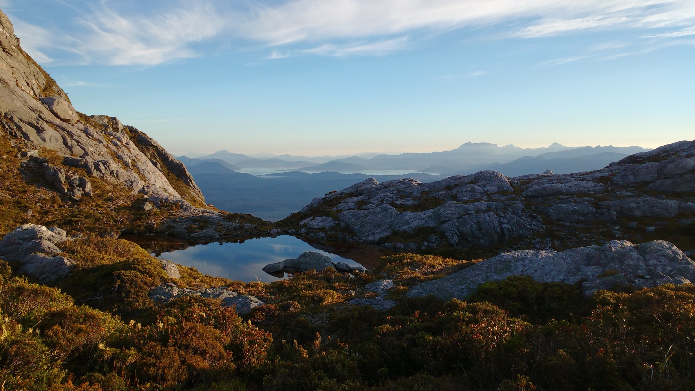
A well-marked trail climbs briefly from the car park at the end of Scotts Peak Dam Road to the summit of Red Knoll — a quartzite knoll at the southern end of Lake Pedder. The lookout delivers a panoramic view in multiple directions: Lake Pedder’s vast turquoise expanse fills the foreground to the north; Scotts Peak rises to one side; and to the south the jagged silhouette of the Western Arthur Range stretches across the horizon. A cairn at the summit traditionally labels the prominent peaks visible in all quadrants. Return by the same route.
Why it is essential
Red Knoll Lookout is the most accessible high-level viewpoint in the Scotts Peak Road corridor and the only place from which walkers can take in the Lake Pedder impoundment, the Mount Anne massif, and the Western Arthur Range in a single 360-degree view without any technical difficulty. It serves as the natural end-point for any day on Scotts Peak Road and provides context for the scale of the wilderness surrounding the more serious walks described above. The Western Arthurs visible from this lookout are among the most challenging multi-day wilderness routes in Australia; the lookout is, deliberately, as close as most visitors will get.
Hazards and notes
- The path can be uneven and slippery in wet conditions; wear sturdy footwear.
- The lookout is exposed to wind; carry a windproof layer.
- No facilities at the lookout; facilities (toilets, sometimes water) may exist at the nearby Scotts Peak boat ramp area — confirm locally.
- The surrounding Scotts Peak Dam Road is gravel, remote and subject to flooding; do not drive after heavy rain without checking conditions.
- Scotts Peak Road closure information should be confirmed with PWS Tasmania before any trip.
- Dogs are not permitted.
GPX / KML links
| Source | URL | Format | Notes |
|---|---|---|---|
| PWS Tasmania — Southwest National Park (general) | parks.tas.gov.au | Official park page | No standalone Red Knoll Lookout GPX found in this pass |
| Cowirrie StepScape — Red Knoll Lookout | cowirrie.com | Visitor walk account | Secondary reference; distance confirmed ~1 km return |
Further reading
Missing data / follow-up work
- Official GPX / KML for all five walks — PWS Tasmania does not publish downloadable route files for any of the five walks in this pass. Geometry should be redrawn from OSM or topographic mapping rather than from third-party sources.
- Red Knoll Lookout — no dedicated PWS page was found in this pass. Distance (~1 km), time (~20–30 min) and the nature of the track are drawn from visitor accounts. A direct check of the PWS Southwest National Park site or the printed Scotts Peak Road information board would confirm official statistics.
- Mount Anne Day Walk elevation gain — PWS does not publish ascent figures; the ~1,100 m figure is derived from multiple secondary sources (Trail Hiking Australia, AllTrails, trip reports) and should be treated as an approximation.
- Lake Judd elevation figures — the AllTrails elevation gain of ~272 m appears low given the lake sits against 600-m cliffs; the terrain profile suggests the gain is in the boggy approach rather than a sharp climb, but a topographic verification pass would be useful.
- Edgar Pond image (Hike 3) — no licence-compatible photograph of Lake Judd itself was found on Wikimedia Commons at sufficient resolution (≥2 000 px long edge). The image used shows Edgar Pond, a nearby moorland pond in the same park corridor; a dedicated Lake Judd photograph would strengthen this entry.
- Creepy Crawly Nature Trail — some sources describe the trail as falling within Franklin-Gordon Wild Rivers National Park rather than Southwest National Park. PWS Tasmania’s own website URL places it under Southwest National Park, and it is treated as such here. A local parks-pass and boundary check would resolve the discrepancy definitively.
- Overnight walker registration — quota registration is required for camping at Shelf Camp and Lonely Tarns on the Mount Anne Circuit; current quota limits and booking procedures should be checked against the live PWS overnight walker registration page before any overnight trip from Condominium Creek.
- Access road conditions — Scotts Peak Dam Road closures after heavy rain or during winter are not systematically published online; walkers should call PWS Tasmania directly or check the current-conditions feed before travel.
Further reading
| Source | URL |
|---|---|
| PWS Tasmania — Southwest National Park | parks.tas.gov.au |
| PWS Tasmania — Mount Anne Circuit walk notes | parks.tas.gov.au |
| PWS Tasmania — Eliza Plateau | parks.tas.gov.au |
| PWS Tasmania — Lake Judd | parks.tas.gov.au |
| PWS Tasmania — Creepy Crawly Nature Trail | parks.tas.gov.au |
| PWS Tasmania — Overnight walker registration | parks.tas.gov.au |
| Tasmanian Wilderness World Heritage Area | parks.tas.gov.au |
| Wikipedia — Southwest National Park | en.wikipedia.org |
| Discover Tasmania — Southwest National Park | discovertasmania.com.au |