Regional overview
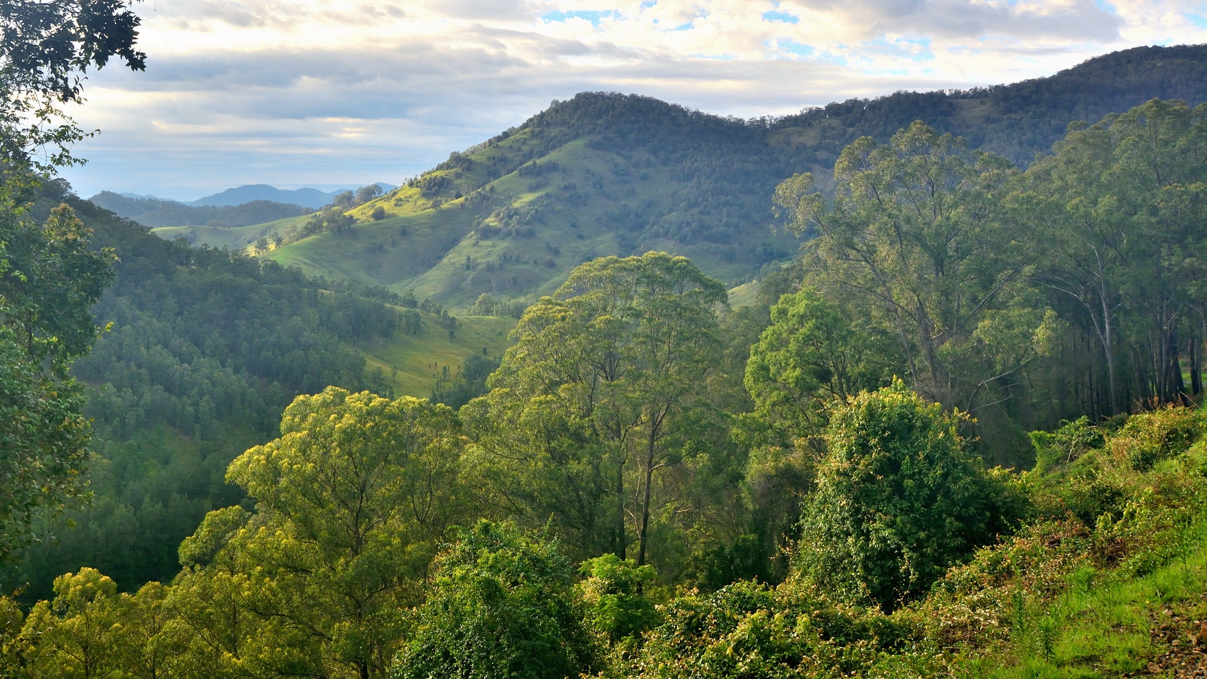
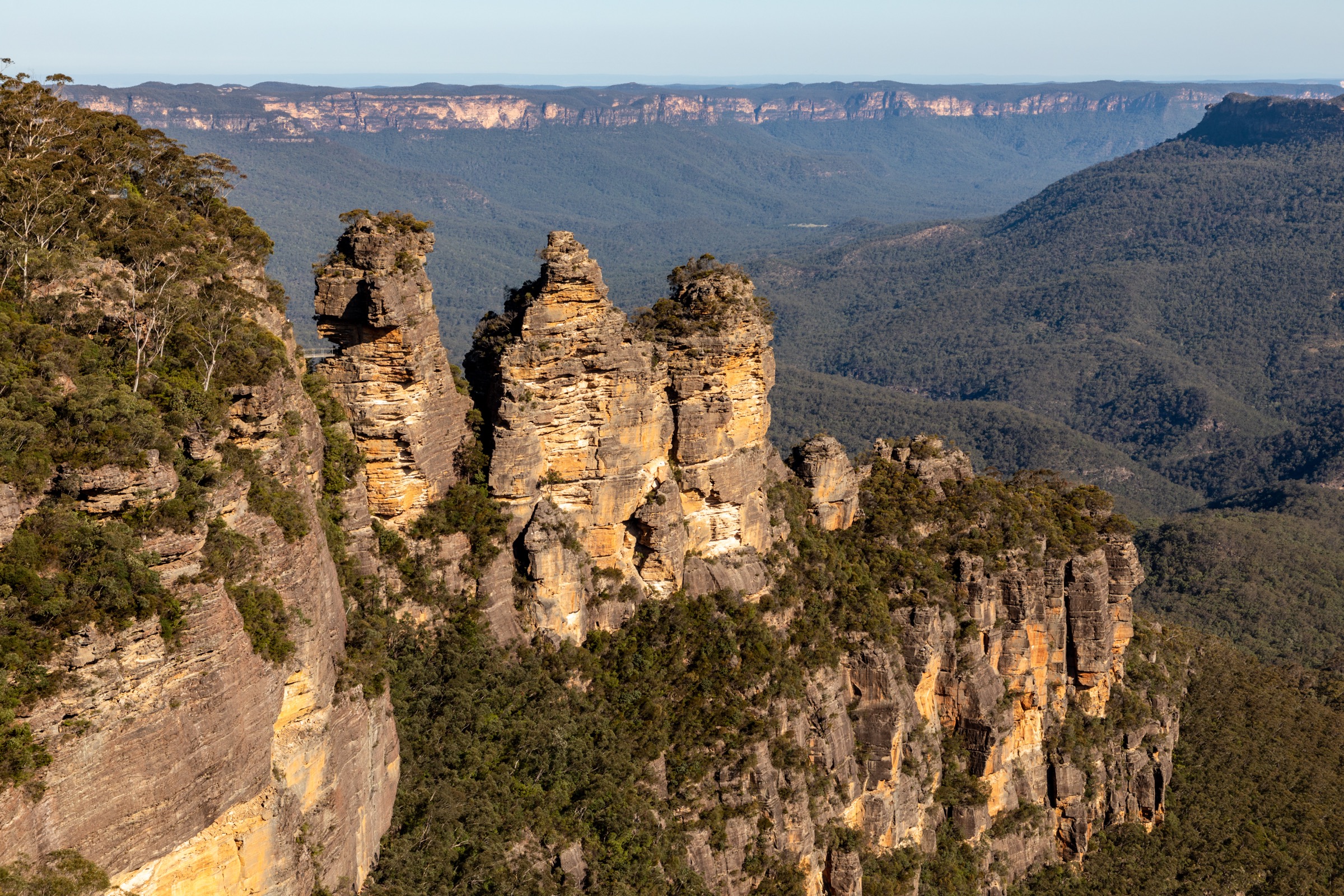
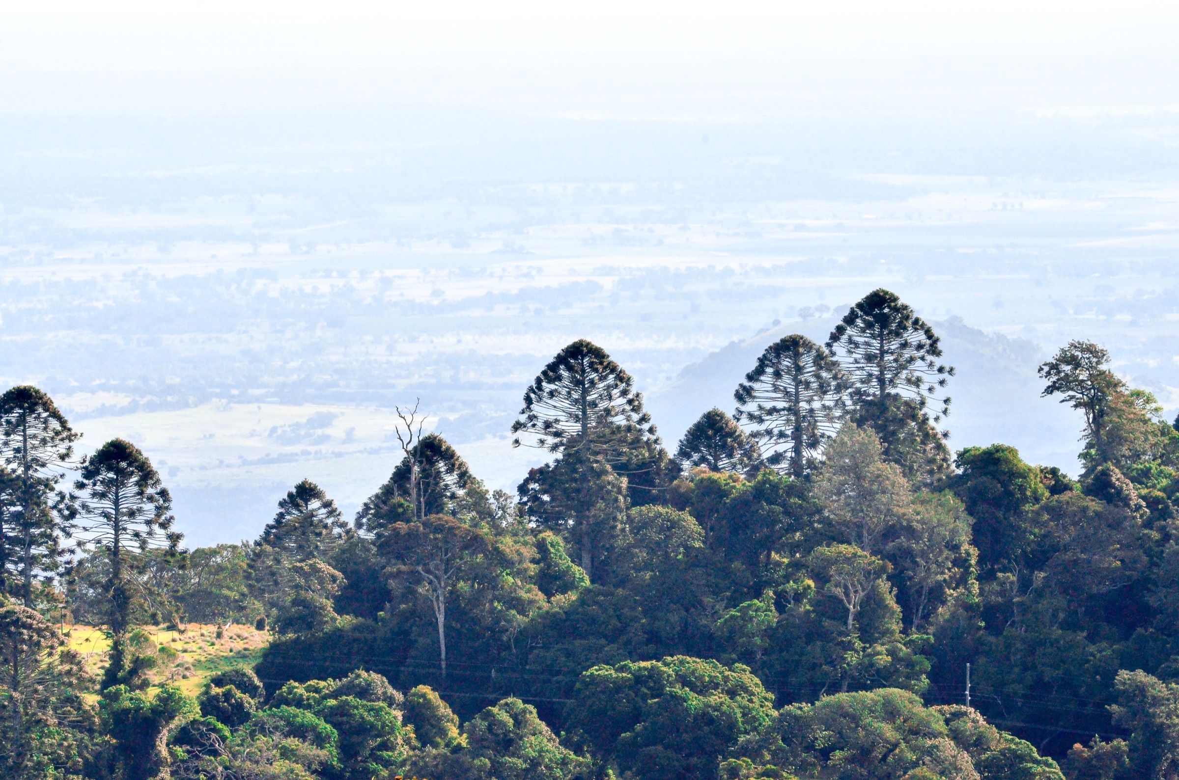
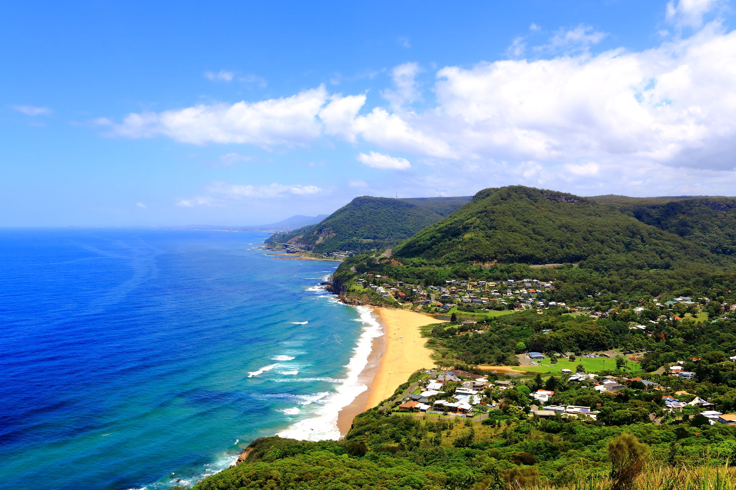
The Southern Highlands and Illawarra Escarpment form a compact, richly varied slice of the Great Dividing Range in New South Wales, dropping from the cool Wingecarribee plateau at roughly 600–700 m through a line of sandstone lookouts and rainforest gorges to the narrow coastal strip between Stanwell Park and Kiama. The plateau country around Robertson, Fitzroy Falls and Kangaroo Valley sits on Gundungurra Country and along the western edge of Dharawal Country; the escarpment and coastal fringe from Stanwell Park south to Kiama and Berry lie on Dharawal Country (including the Wodi Wodi people, a sub-group of the Dharawal), with Yuin Country beginning further south. The Traditional Owners have walked and traded along the escarpment for tens of thousands of years, and many of the modern lookouts and ridge tracks follow older Aboriginal pathways between the highlands and the coast.
Protected land is spread across several reserves rather than a single national park: Morton National Park protects the Wingecarribee plateau at Fitzroy Falls and Belmore Falls; Budderoo National Park covers Carrington Falls, the Barren Grounds heath plateau and the Minnamurra Rainforest; the Illawarra Escarpment State Conservation Area runs in a discontinuous line for about 40 km behind the Illawarra coast, protecting Mount Keira, Mount Kembla, Sublime Point and the Wodi Wodi area; Macquarie Pass National Park protects the steep rainforest of the pass itself. All of these areas are managed by the NSW National Parks and Wildlife Service (NPWS), with additional council-managed reserves — notably Mount Keira Summit Park under Wollongong City Council — filling in the escarpment picture.
Walking here is essentially year-round. The plateau is cool, temperate and often foggy in winter; the coast is warm and humid through summer. The single dominant hazard is the cliff line: much of the escarpment is a sheer sandstone rim of 200–500 m and every lookout in this entry sits on unfenced or lightly fenced clifftop. The second hazard is rain-forest slipperiness. Minnamurra, the Macquarie Pass rainforest and the lower sections of Wodi Wodi become genuinely dangerous after wet weather, with slick boardwalks, moss-covered rock and steep root-crossed tread. NPWS grades most of these walks under the Australian Walking Track Grading System (AWTGS) at Grade 3 or 4; parties should treat the “hard” grade as a real one and not a marketing label.
Public transport is unusually usable by Australian standards. The South Coast railway line runs along the base of the escarpment from Waterfall to Kiama with stations at Stanwell Park, Coalcliff, Austinmer, Bulli, Wollongong and Kiama, meaning the escarpment climbs — Wodi Wodi in particular — can be walked as a train-to-train traverse. The Southern Highlands line runs from Sydney through Mittagong, Bowral, Moss Vale and Bundanoon, giving public-transport access to the Wingecarribee plateau. Fitzroy Falls, Carrington Falls and Minnamurra Rainforest all require a private vehicle from the nearest station.
Selection rationale
The five walks are chosen to spread across the region’s four main landscape types — plateau lookout country, waterfall gorge, Gondwana rainforest boardwalk and coastal escarpment climb — and to represent each of the main protected areas. Fitzroy Falls West Rim is the flagship lookout circuit of the Southern Highlands plateau in Morton National Park. Carrington Falls in Budderoo National Park is the standard waterfall-gorge short walk on the western side of the plateau. Minnamurra Rainforest and Falls Walk is the region’s classic Gondwana-remnant rainforest boardwalk. Mount Keira Ring Track is the representative escarpment loop in the Illawarra Escarpment State Conservation Area behind Wollongong. The Wodi Wodi Track at Stanwell Park is the coastal escarpment climb par excellence and, uniquely for this region, a genuine train-to-train traverse. Sublime Point Track — often listed as the iconic short escarpment climb — is closed for major upgrades between August 2025 and August 2026 and has therefore been moved to the follow-up notes.
Summary table
| # | Hike | Country | Route type | Distance | Gain | Max elevation | Difficulty |
|---|---|---|---|---|---|---|---|
| 1 | Fitzroy Falls West Rim walking track | Australia | Out-and-back | ~3.5 km | ~120 m | ~640 m | Grade 3 (AWTGS) |
| 2 | Carrington Falls walking track | Australia | Loop | ~0.6 km | ~30 m | ~610 m | Grade 3 (AWTGS) |
| 3 | Minnamurra Rainforest Falls Walk | Australia | Out-and-back | ~4.2 km | ~200 m | ~380 m | Grade 4 (AWTGS) |
| 4 | Mount Keira Ring Track | Australia | Loop | ~5.5 km | ~350 m | ~464 m | Grade 4 (AWTGS) |
| 5 | Wodi Wodi Track (Stanwell Park — Coalcliff) | Australia | Point-to-point / loop | ~6.5 km | ~300 m | ~300 m | Grade 4 (AWTGS) |
1. Fitzroy Falls West Rim walking track
Snapshot
Itinerary
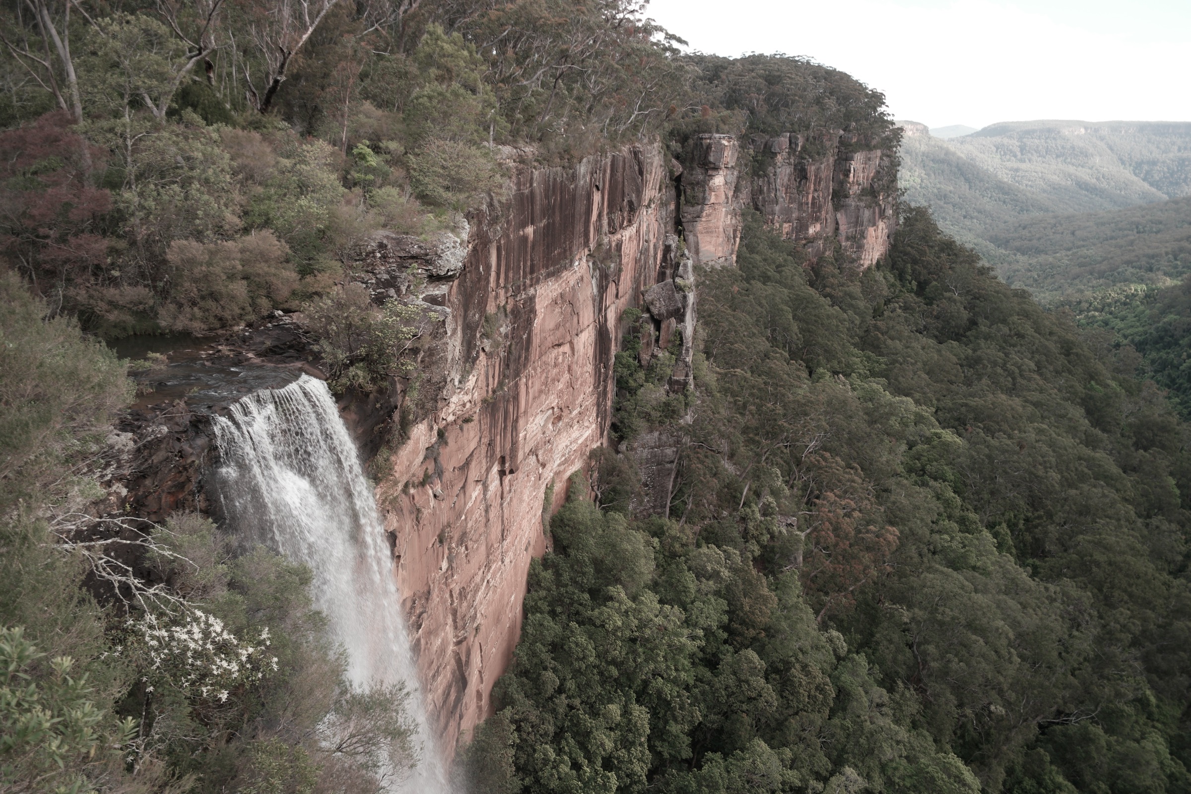
The walk starts at the Fitzroy Falls Visitor Centre on the sealed Nowra Road above Kangaroo Valley, where a $4 per vehicle daily fee applies. A short, wheelchair-accessible spur leaves the visitor centre and reaches the main Fitzroy Falls lookout in under five minutes, giving the classic view of the 81 m plunge into the head of the Yarrunga Valley. The West Rim walk continues west from the falls lookout along a formed gravel track through dry eucalypt forest, grassy woodland and pockets of rainforest featuring coachwood, sassafras and lilly pilly. The track threads a series of signposted lookouts — Jersey, Wodi Wodi, Grotto, Warrigal, Renown and West Rim — each dropping in on a different aspect of the gorge and the sandstone cliff line. Turnaround is at the West Rim lookout at the end of the formed track. Return is on the same line back to the visitor centre.
Why it is essential
Fitzroy Falls is the flagship viewpoint of the Southern Highlands section of Morton National Park and the West Rim walk is the standard way to experience it beyond the visitor-centre lookout. The waterfall itself is one of the tallest single-drop falls in NSW, and the string of rim lookouts gives an unbroken introduction to the sandstone plateau country and the Yarrunga catchment feeding into Lake Yarrunga far below.
Equipment
- Standard hiking equipment
- Walking shoes (formed gravel, some steps)
- Sun protection and hat for the exposed rim sections
- Warm layer — the plateau is cool and often foggy in winter
- 1–1.5 L of water
- Rain shell — Southern Highlands weather changes quickly
Hazards and notes
- Cliff exposure at every lookout; sections of the rim are unfenced.
- Track can be slippery after rain, especially in the rainforest pockets.
- Waterfall flow is highly seasonal; the drop can reduce to a trickle in dry periods.
- Visitor centre and gates are open 9am–5pm; the walking track is accessible outside those hours but the car park may close.
- $4 per vehicle daily park use fee at Fitzroy Falls.
- Dogs are not permitted.
GPX / route file
| Source | URL | Format | Notes |
|---|---|---|---|
| NSW National Parks — West Rim walking track | nationalparks.nsw.gov.au | Web page | Official route source; no direct GPX download published |
| Trail Hiking Australia — West Rim Walking Track | trailhiking.com.au | Web page | Distance, grade and time cross-check |
Sources
- NSW National Parks — West Rim walking track
- NSW National Parks — Fitzroy Falls Visitor Centre
- Trail Hiking Australia — West Rim Walking Track
- Wikimedia Commons — Fitzroy Falls Lookout
2. Carrington Falls walking track
Snapshot
Itinerary
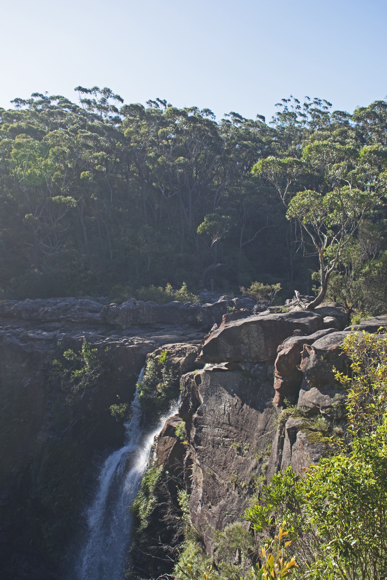
The Carrington Falls walking track begins at the Thomas Place (Carrington Falls) picnic area on Cloonty Road, about 15 km east of Robertson. A short formed path leaves the picnic area and descends a steep metal stairway into a shady rainforest gully before climbing back to the escarpment edge and following the rim past three signposted lookouts: Falls View, Valley View and an intermediate viewpoint. Each gives a different aspect of Carrington Falls, which drops around 90 m into the Kangaroo River gorge below. The loop closes back at the picnic area.
For a longer half-day, the route can be extended west along the plateau to Nellies Glen — a signposted 1.4–2 km side track from the Carrington Falls Campground area that follows the Kangaroo River upstream through banksia woodland to a series of rock pools and small cascades. A full walk combining Nellies Glen, the top of Missinghams Steps and all the Carrington Falls lookouts is approximately 6.4 km return from the campground.
Why it is essential
Carrington Falls is the western-plateau counterpart to Fitzroy Falls and the shortest walk in the region that puts a genuine 90 m waterfall directly in front of the walker. The loop is compact enough for a mid-drive stop between Robertson and the Illawarra, and the escarpment view here — south-east into the Kangaroo River gorge and beyond — is the classic Budderoo National Park perspective.
Equipment
- Standard hiking equipment
- Walking shoes with grip (steel stairway and steep steps)
- Sun protection
- 1 L water
- Warm layer in winter
- No drones — NPWS prohibition applies
Hazards and notes
- Cliff exposure is real; NPWS asks visitors to stay behind the fences and off unmarked spurs to the top of the falls.
- Attempting to reach the base of the falls is not a walking track and requires advanced navigation and canyoning skills.
- Steel stairway can be slippery in rain or heavy dew.
- Snakes active from spring through autumn.
- Waratahs bloom in October–November.
GPX / route file
| Source | URL | Format | Notes |
|---|---|---|---|
| NSW National Parks — Carrington Falls walking track | nationalparks.nsw.gov.au | Web page | Official route source; no direct GPX download published |
| BeyondTracks — Carrington Falls | beyondtracks.com | Web page | Route description and cross-check |
Sources
- NSW National Parks — Carrington Falls walking track
- NSW National Parks — Budderoo National Park
- BeyondTracks — Carrington Falls
- Wikimedia Commons — Carrington Falls seen from Valley View
3. Minnamurra Rainforest Falls Walk
Snapshot
Itinerary
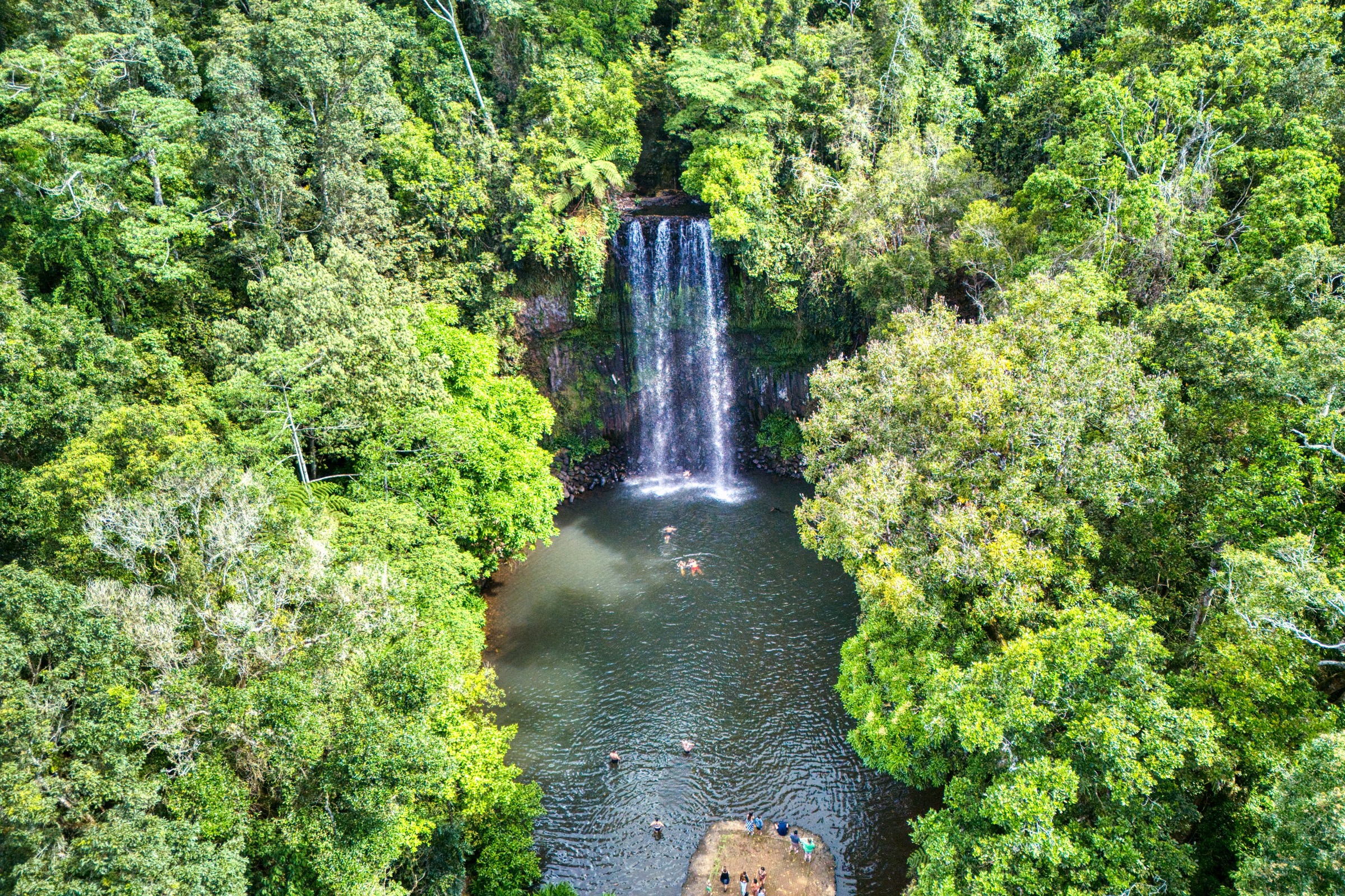
The Minnamurra Falls Walk starts inside the Minnamurra Rainforest Centre in Budderoo National Park at Jamberoo. The gates open at 9am and close at 5pm, with the last vehicle entry at 3pm, and a $12 per vehicle daily fee applies. The route begins on the 1.6 km Rainforest Loop, a fully elevated timber boardwalk that crosses Minnamurra Creek on suspension bridges through subtropical and warm-temperate rainforest — coachwood, sassafras, giant stinging tree, cabbage-tree palm and tree ferns, one of the largest surviving Gondwana-remnant rainforest pockets on the Illawarra coast.
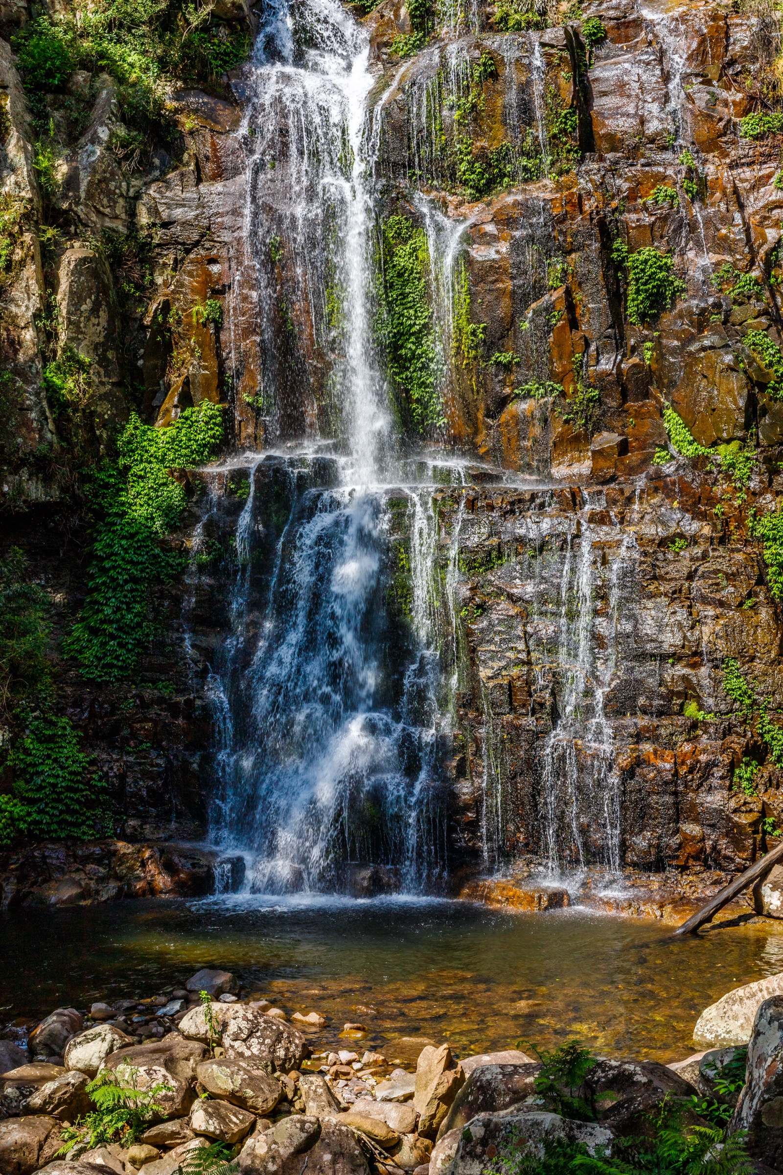
At the junction with the Falls Walk the route leaves the boardwalk and climbs steadily on a paved and stepped track, gaining height along the north side of Minnamurra Creek to reach the lower falls lookout. From here a steeper stepped section continues to the upper falls lookout, giving the standard Minnamurra Falls view of the multi-tiered cascade dropping through mossed sandstone. Return is on the same line back to the boardwalk and then the rainforest centre.
Why it is essential
Minnamurra is the standout Gondwana-rainforest walk of the Great Dividing Range’s southern escarpment and gives access to vegetation that once covered the whole Illawarra coast before European clearing. The combination of accessible boardwalk and a genuine Grade 4 climb to the falls means the walk works for both casual visitors and serious walkers, and the upper falls lookout is one of the most photographed rainforest waterfalls in NSW.
Equipment
- Standard hiking equipment
- Walking shoes or boots with grip — boardwalks and rock steps become slick when wet
- Insect repellent (leeches after rain)
- Rain layer — the rainforest is a wet-weather microclimate
- 1.5 L water
- No dogs; no drones
Hazards and notes
- Rainforest tracks become genuinely slippery after rain; leeches are common.
- Falling limbs from tall rainforest canopy in high wind — the centre closes the tracks in dangerous conditions.
- Gates close at 5pm; last vehicle entry at 3pm. Do not risk being locked in.
- $12 per vehicle daily fee; bus and taxi entry $4.40 adult / $2.20 child.
- Stinging trees (Dendrocnide moroides) are present — do not touch broad, heart-shaped leaves along the boardwalk.
- Wet-season (December–March) creek levels can cause temporary closures.
GPX / route file
| Source | URL | Format | Notes |
|---|---|---|---|
| NSW National Parks — Minnamurra Falls walk | nationalparks.nsw.gov.au | Web page | Official route source; no direct GPX download published |
| Trail Hiking Australia — The Falls Walk | trailhiking.com.au | Web page | Distance and grade cross-check |
Sources
- NSW National Parks — Minnamurra Falls walk
- NSW National Parks — Minnamurra Rainforest Centre
- Trail Hiking Australia — The Falls Walk
- Destination Kiama — Minnamurra Rainforest
- Wikimedia Commons — Minnamurra Falls, January 2022
4. Mount Keira Ring Track
Snapshot
Itinerary
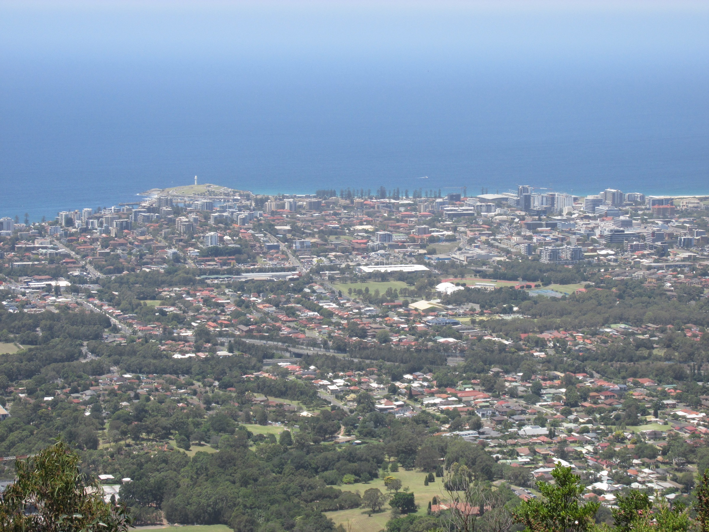
The ring track leaves the Byarong Park picnic area on the eastern flank of Mount Keira and climbs steeply through subtropical rainforest — red cedar, coachwood, cabbage-tree palm and lyrebird habitat — on a stepped, root-crossed tread. The track picks up an old colonial road line and swings north-west around the mountain, contouring below the summit crag before crossing Mount Keira Road (caution: sight lines are poor) and continuing on the western side through more open forest and rocky outcrops. NPWS advises walking clockwise and turning right at the Mount Pleasant trail junction to stay on the ring; a signposted spur (the Dave Walsh Track) allows an optional detour up to Mount Keira Summit Park at 464 m, adding roughly 3.6 km return and about 100 m of climb for the eastern lookout over central Wollongong and the coast. The loop closes back at Byarong Park.
Why it is essential
Mount Keira is the signature escarpment loop behind Wollongong and gives the classic Illawarra experience of climbing from suburban coastal edge into subtropical rainforest in under an hour. Byarong Park itself is on Dharawal Country and the mountain is spiritually significant to the Traditional Owners. Combined with the short Summit Park spur, the walk gives both a serious ring loop and the standard aerial view of central Wollongong.
Equipment
- Standard hiking equipment
- Sturdy walking shoes or light boots — tread is steep, rocky and root-crossed
- Insect repellent (leeches after rain)
- Rain layer
- 1.5–2 L water
- Warm layer for the top in winter
- No dogs (NPWS SCA rule)
Hazards and notes
- Rockfall risk from cliffs above the track; NPWS asks walkers to stay on the marked line.
- Mount Keira Road crossing has poor sight lines.
- Rainforest sections are slippery after rain.
- The summit is on Wollongong City Council’s Summit Park land — separate management, but public access.
- Snake activity through spring, summer and autumn.
- Cell coverage is generally present but patchy on the western side.
GPX / route file
| Source | URL | Format | Notes |
|---|---|---|---|
| NSW National Parks — Mount Keira Ring track | nationalparks.nsw.gov.au | Web page | Official route source; no direct GPX download published |
| Trail Hiking Australia — Mount Keira Ring Track | trailhiking.com.au | Web page | Distance, grade and time cross-check |
Sources
- NSW National Parks — Mount Keira Ring track
- NSW National Parks — Illawarra Escarpment State Conservation Area
- Trail Hiking Australia — Mount Keira Ring Track
- Wollongong City Council — Illawarra Escarpment
- Wikimedia Commons — Mt Keira views 2017
5. Wodi Wodi Track (Stanwell Park — Coalcliff)
Snapshot
Itinerary
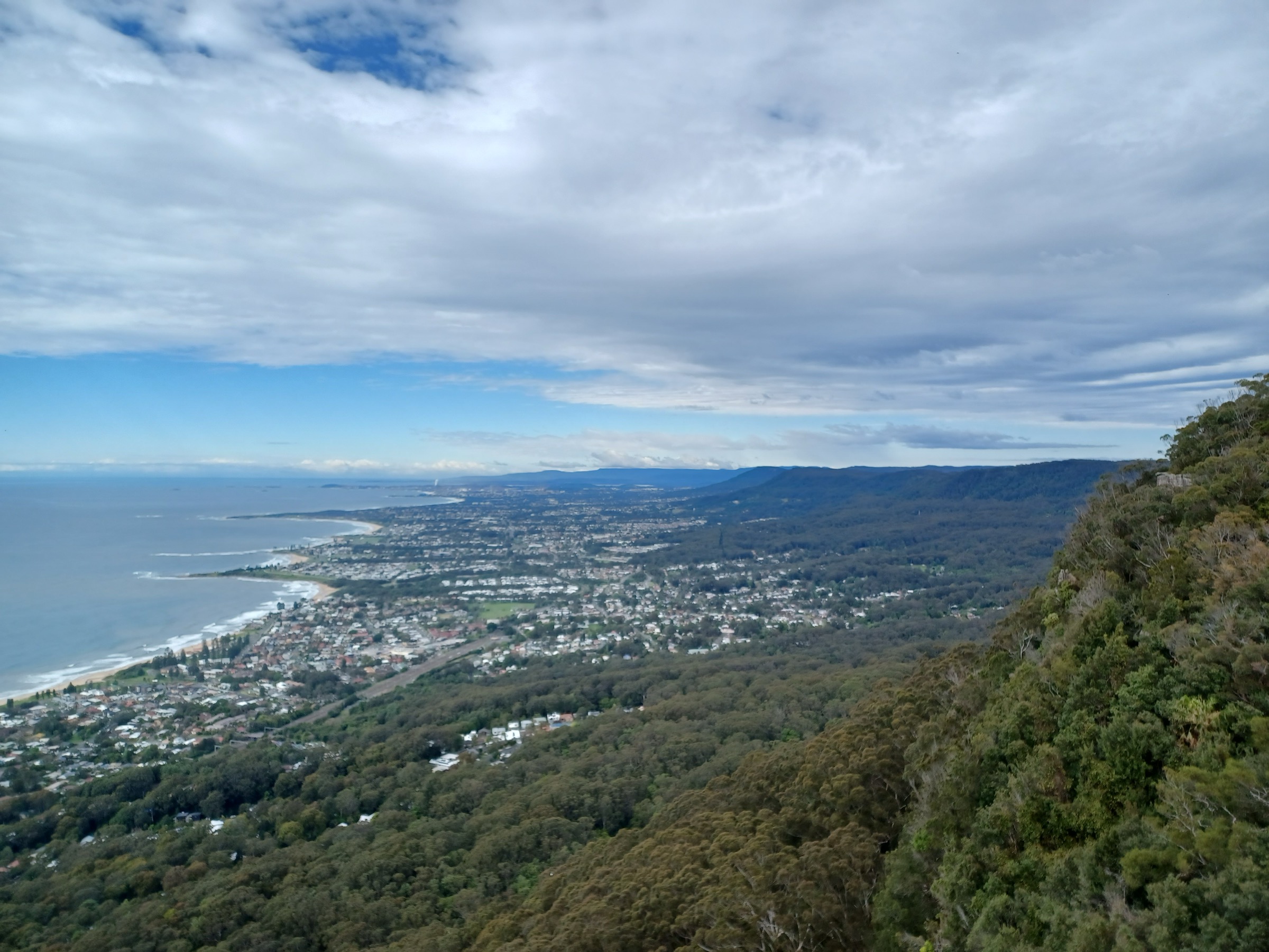
The Wodi Wodi Track is named after the Wodi Wodi people, a Dharawal sub-group whose country covers this stretch of the Illawarra coast. From Stanwell Park railway station the route follows the historic Bullock Track — cleared by European settlers around 1820 — inland along Stanwell Creek and into the base of the escarpment. The tread narrows and steepens through subtropical rainforest and moss-covered sandstone, crossing the creek several times, before climbing a sustained rocky staircase to the top of the escarpment near Stanwell Tops. A short signposted side track leads to the Mt Mitchell trig on the plateau; the main line continues along the top of the escarpment north-east, giving open views over Stanwell Park Lagoon, Bald Hill Lookout and — on clear days — the Sea Cliff Bridge.
The route then drops back down the escarpment on a rougher, steeper line towards Coalcliff, emerging on the sealed road above Coalcliff railway station. Walkers can either finish here and catch the next South Coast train back to Stanwell Park, or return along the beach and clifftop path (Lawrence Hargrave Drive and the Coalcliff–Stanwell Park coastal walk) to close the loop, adding roughly 3 km.
Why it is essential
The Wodi Wodi is the standard escarpment climb of the northern Illawarra and — with Sublime Point closed for major upgrades between August 2025 and August 2026 — currently the region’s flagship escarpment day-walk. Its train-to-train configuration is unusual for Australian bushwalks and makes it a genuine public-transport traverse: leave Sydney by train, walk the escarpment, and be back in Sydney by train the same day. The route also crosses several sites of European historical interest, including the Bullock Track and Lawrence Hargrave’s aeronautical experiments at Stanwell Park.
Equipment
- Mountain hiking equipment
- Sturdy boots — tread is steep, rocky and often muddy
- Trekking poles useful for the descent to Coalcliff
- Rain layer
- 2 L water
- Warm layer for the plateau
- Insect repellent (leeches after rain)
- Train timetable (South Coast Line, Sydney Trains)
- No dogs (NPWS SCA rule)
Hazards and notes
- The route is genuinely steep; NPWS and local media rate it as “hard” and not beginner-friendly.
- Creek crossings on Stanwell Creek can become impassable after heavy rain.
- Fully exposed clifftop sections near the top of the escarpment — not suitable in high wind.
- Rainforest sections extremely slippery after rain.
- Snake activity spring through autumn.
- Cell coverage patchy in the gully; present on the top.
- Check trackwork on the South Coast Line before travel — occasional bus replacements affect the train-to-train logistics.
GPX / route file
| Source | URL | Format | Notes |
|---|---|---|---|
| NSW Government — Wodi Wodi Walking Track | nsw.gov.au | Web page | Official route source; no direct GPX download published |
| Aussie Bushwalking — Mt Mitchell via Wodi Wodi | aussiebushwalking.com | Web page | Route description including Mt Mitchell trig variant |
| NPA NSW — Illawarra Escarpment Walking Track (PDF) | npansw.org.au | Escarpment-wide context |
Sources
- NSW Government — Wodi Wodi Walking Track
- Visit NSW — Wodi Wodi Walking Track
- Aussie Bushwalking — Mt Mitchell via Wodi Wodi
- Illawarra Mercury — Wodi Wodi Track video guide
- Wikimedia Commons — View from Sublime Point Lookout
- Wikimedia Commons — Bald Hill view over Stanwell Park
Region-level sources
| Source | URL |
|---|---|
| NSW National Parks — Morton National Park | nationalparks.nsw.gov.au |
| NSW National Parks — Budderoo National Park | nationalparks.nsw.gov.au |
| NSW National Parks — Illawarra Escarpment State Conservation Area | nationalparks.nsw.gov.au |
| NSW National Parks — Fitzroy Falls Visitor Centre | nationalparks.nsw.gov.au |
| NSW National Parks — Minnamurra Rainforest Centre | nationalparks.nsw.gov.au |
| Wollongong City Council — Illawarra Escarpment | wollongong.nsw.gov.au |
| Illawarra Escarpment SCA Plan of Management (2010) | environment.nsw.gov.au |
| Budderoo–Macquarie Pass–Barren Grounds draft plan of management (2025) | environment.nsw.gov.au |
| Wikipedia — Illawarra Escarpment State Conservation Area | en.wikipedia.org |
| Wikipedia — Wodiwodi | en.wikipedia.org |
Further reading
- NSW National Parks — Illawarra Escarpment State Conservation Area
- NSW National Parks — Morton National Park
- NSW National Parks — Budderoo National Park
- Wollongong City Council — Aboriginal culture and communities
Nearby Great Dividing Range walks on Storm
- Blue Mountains — essential day-hikes — the flagship NSW plateau country immediately north of the Southern Highlands.
- Snowy Mountains / Kosciuszko — essential day-hikes — the alpine block south of the Southern Highlands and the highest ground on the Great Dividing Range.
- ACT — Namadgi & Brindabella Ranges — essential day-hikes — the inland ACT/NSW ranges directly west of the Illawarra corridor.
- Barrington Tops — essential day-hikes — the next major escarpment block north up the NSW coast.
- New England Tablelands — essential day-hikes — the northern NSW tablelands, further up the range.
Missing data / follow-up work
- Sublime Point Walking Track (Bulli/Austinmer) — the iconic short escarpment climb — is closed for major upgrades from Monday 18 August 2025 to Monday 31 August 2026. When it reopens it should replace or accompany one of the escarpment entries above. Route stats when open: ~1.2 km one-way / Grade 4 with ladders and staircases.
- Belmore Falls Track (Morton NP, near Robertson) is a strong candidate for a “second waterfall” entry and was considered for this list; NPWS should be checked for current lookout closures before a future revision.
- Barren Grounds Nature Reserve (Griffiths Loop / Cooks Nose Lookout) is a strong candidate for a heath-plateau entry — the reserve has been affected by controlled burns and bushfire in recent seasons; verify current track status before including.
- Mount Kembla Ring Track is a natural companion to Mount Keira and could replace it in a coast-focused revision.
- Macquarie Pass National Park (Cascades Walk / Rainforest Walk) is a candidate rainforest short-walk; confirm 2026 access status via the current draft plan of management.
- NPWS does not publish direct GPX or KML downloads for any of the walks listed above; all route files are official web-page sources.
- Elevation gain for Mount Keira Ring Track varies between sources (NPWS does not publish a figure; AllTrails reports ~354 m); the higher figure has been used for planning.
- Public transport connections on the South Coast Line are subject to periodic trackwork; confirm current Sydney Trains schedules before planning the Wodi Wodi as a train-to-train traverse.