Regional overview
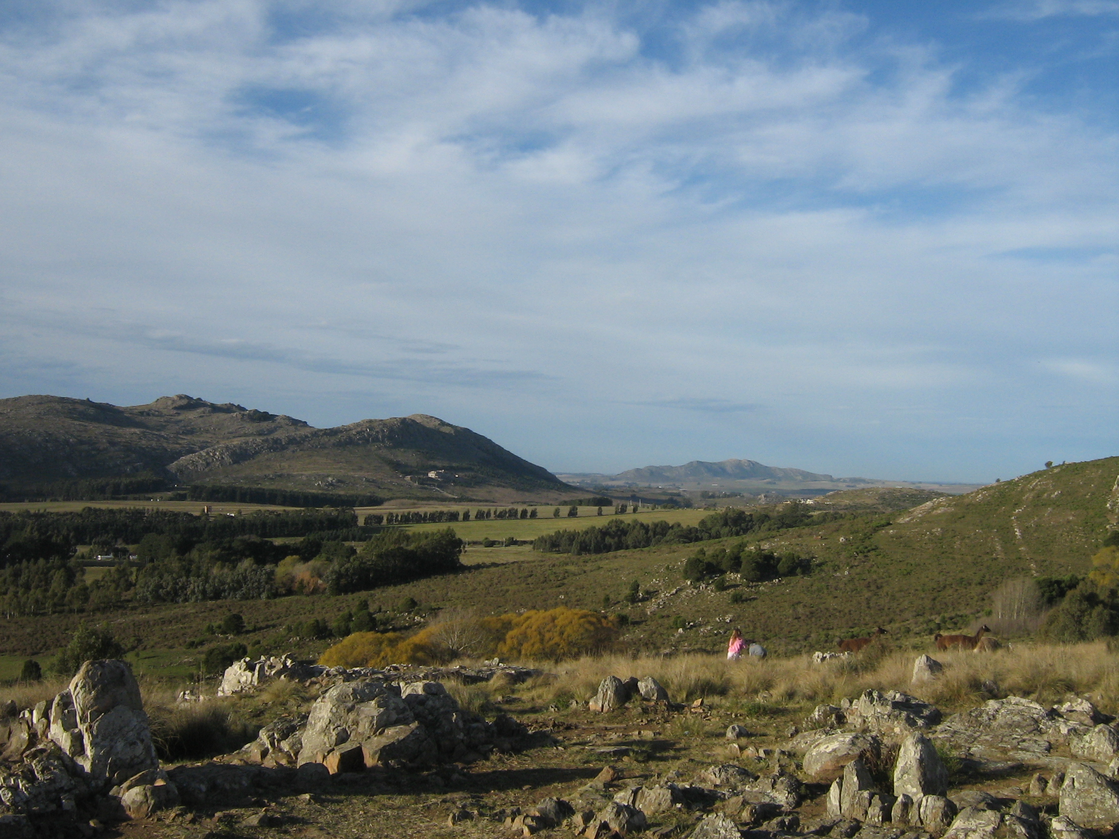
Tandil sits in the ancient Tandilia hill system: low, rounded granite and quartzite hills rising from the pampas. The hikes are generally short, accessible and close to town, but they are culturally important because of quarry history, religious routes, historic viewpoints and distinctive rock formations.
This is not a wilderness mountain region. The strongest entries are urban-edge and reserve walks that can be combined into half-day outings. Heat, sun exposure, slippery rock after rain and trail braiding are the main practical issues.
Selection rationale
The selection covers the restored natural reserve, quarry/cultural route, lake-and-viewpoint circuit, historic hill route and the emblematic El Centinela rock formation.
Summary table
| # | Hike | Country | Route type | Distance | Gain | Max elevation | Difficulty |
|---|---|---|---|---|---|---|---|
| 1 | Reserva Natural Sierra del Tigre loop | Argentina | Loop | 3.5-5.8 km | 213 m | 373 m | Moderate |
| 2 | Senda de las Animas | Argentina | Loop | 5.8 km | 121 m | 281 m | Moderate |
| 3 | Villa del Lago / Lago del Fuerte circuit | Argentina | Loop | 4.8 km | 185 m | 331 m | Moderate |
| 4 | Paseo de los Pioneros / Cerro El Mate | Argentina | Loop | 3.5 km | 80 m | 295 m | Moderate |
| 5 | Cerro El Centinela | Argentina | Short loop | 0.5 km | 24 m | 301 m | Easy-moderate |
1. Reserva Natural Sierra del Tigre loop

Snapshot
Itinerary
The loop follows the reserve’s undulating consolidated circuit and side viewpoints through restored quarry-country terrain, with wildlife and interpretation features around the reserve.
Why it is essential
It is Tandil’s best reserve walk, combining geology, quarry history and protected hill habitat close to the city.
Equipment
- Standard walking/hiking equipment, water and sun protection.
- Binoculars are useful.
Hazards and notes
- Dogs are not allowed on the AllTrails-listed route.
- Stay on marked tracks around old quarry features and cavas.
GPX / KML links
| Source | URL | Format / access | Reuse status |
|---|---|---|---|
| AllTrails: Reserva Natural Sierra del Tigre loop | alltrails.com | Web map / source route | AllTrails terms; direct GPX reuse not verified; reference only |
External links
- AllTrails — Reserva Natural Sierra del Tigre loop
- Wikipedia (es) — Reserva natural Sierra del Tigre
- Wikimedia Commons — Sierra Del Tigre en Tandil
2. Senda de las Animas
Snapshot
Itinerary
The loop follows an interpretive route of nearly six kilometres that highlights Tandil’s quarry-worker heritage, with information stations and low hill viewpoints.
Why it is essential
This route is important because it connects Tandil’s walking landscape with the history of the picapedreros and the stone industry that shaped the city.
Equipment
- Standard hiking/walking equipment and water.
Hazards and notes
- Mostly moderate terrain.
- Sun exposure and urban-edge navigation are the main practical issues.
GPX / KML links
| Source | URL | Format / access | Reuse status |
|---|---|---|---|
| AllTrails: Senda de las Animas | alltrails.com | Web map / source route | AllTrails terms; direct GPX reuse not verified; reference only |
External links
3. Villa del Lago / Lago del Fuerte circuit

Snapshot
Itinerary
The loop starts by Lago del Fuerte, passes Villa del Lago viewpoints, Cruz del Cerro and surrounding hill features, then returns toward the lake and sports/recreation zone.
Why it is essential
It links Tandil’s lake, urban hill viewpoints and public recreation landscape in one compact circuit.
Equipment
- Standard walking equipment, water and sun protection.
Hazards and notes
- Dogs are allowed on leash on the AllTrails-listed route.
- Some sections are urban/peri-urban; watch traffic where the route uses streets.
GPX / KML links
| Source | URL | Format / access | Reuse status |
|---|---|---|---|
| AllTrails: Villa del Lago circular | alltrails.com | Web map / source route | AllTrails terms; direct GPX reuse not verified; reference only |
External links
- AllTrails — Villa del Lago circular
- Wikipedia (es) — Tandil
- Wikimedia Commons — Lago del Fuerte, Tandil
4. Paseo de los Pioneros / Cerro El Mate
Snapshot
Itinerary
The route follows the Paseo de los Pioneros interpretive road/path toward Cerro El Mate, with signs relating to Tandil’s local history and hill landscape.
Why it is essential
It is a family-friendly historic hill walk that adds interpretation and local identity to the Tandilia selection.
Equipment
- Standard walking equipment, water and sun protection.
Hazards and notes
- The route can be walked, cycled or driven in parts.
- Keep to pedestrian-safe edges where vehicles are present.
GPX / KML links
| Source | URL | Format / access | Reuse status |
|---|---|---|---|
| AllTrails: Paseo de los Pioneros | alltrails.com | Web map / source route | AllTrails terms; direct GPX reuse not verified; reference only |
External links
5. Cerro El Centinela

Snapshot
Itinerary
The short forested loop climbs to the granite El Centinela formation and viewpoints. The site can be extended with nearby complex paths and, when operating, the chairlift area.
Why it is essential
El Centinela is one of Tandil’s emblematic rock formations and belongs in a regional catalogue despite the very short walking distance.
Equipment
- Comfortable walking shoes, water and sun protection.
Hazards and notes
- The listed route is very short and partly a managed attraction rather than a wilderness hike.
- Chairlift schedules, fees and site opening hours need checking locally.
GPX / KML links
| Source | URL | Format / access | Reuse status |
|---|---|---|---|
| AllTrails: Cerro El Centinela | alltrails.com | Web map / source route | AllTrails terms; direct GPX reuse not verified; reference only |
External links
- AllTrails — Cerro El Centinela
- Wikipedia (es) — Tandil
- Wikimedia Commons — Cerro El Centinela, Tandil
Missing data / follow-up work
- No official GPX/KML downloads were verified.
- Exact open images were not found for Senda de las Animas or Paseo de los Pioneros.
- Current site opening hours, fees and restrictions should be checked for Sierra del Tigre and Cerro El Centinela.
- Cerro El Centinela is included as an essential landmark walk, but it is below the normal 5 km day-hike distance threshold.
External links
| Source | URL |
|---|---|
| AllTrails — Reserva Natural Sierra del Tigre loop | alltrails.com |
| AllTrails — Senda de las Animas | alltrails.com |
| AllTrails — Villa del Lago circular | alltrails.com |
| AllTrails — Paseo de los Pioneros | alltrails.com |
| AllTrails — Cerro El Centinela | alltrails.com |
| Wikipedia (es) — Tandil | es.wikipedia.org |
| Wikipedia (es) — Reserva natural Sierra del Tigre | es.wikipedia.org |