Regional overview
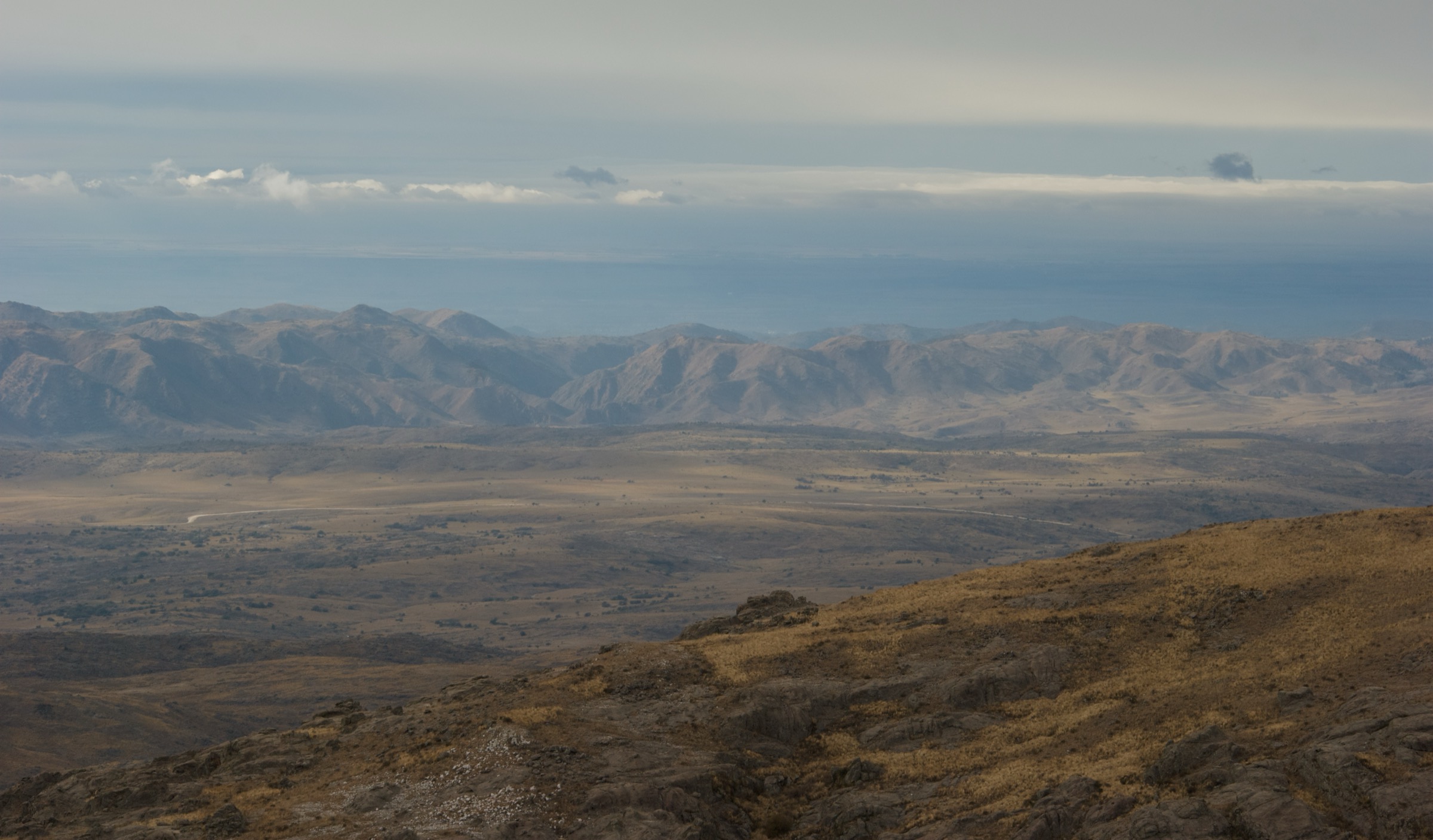
The Sierras Chicas form the eastern, lower mountain chain of Córdoba, running close to Córdoba city and the Punilla corridor. The hiking is generally lower and warmer than the Pampa de Achala or Los Gigantes, with dry woodland, rocky hill paths, waterfalls, viewpoints, cultural sites, and several town-access routes.
Important walking centres include Capilla del Monte and Los Cocos in the north, Cosquín and La Falda in Punilla, and Río Ceballos, Salsipuedes, Unquillo, and Villa Cerro Azul closer to Córdoba city. Routes range from full-day summit ascents such as Cerro Uritorco to short official municipal trails in hydrological reserves.
Summer heat, thunderstorms, wildfire risk, loose rock, private access controls, and weak waymarking are the main issues. Córdoba Turismo classifies Cerro Uritorco as a mountain-risk area and notes that visitors should register at the base and equip themselves correctly.
Selection rationale
The selection balances the emblematic high Sierras Chicas summit, a second Capilla del Monte ridge/summit route, a classic Cosquín hill route, and two official reserve/waterfall routes in the lower Sierras Chicas corridor. All five have at least one official or reputable route source; only Pan de Azúcar has official GPX/KML found in this pass.
Summary table
| # | Hike | Country | Route type | Distance | Gain | Max elevation | Difficulty |
|---|---|---|---|---|---|---|---|
| 1 | Cerro Uritorco | Argentina | Out-and-back | 10.3-12 km | 875 m secondary | 1,979-1,980 m | Hard |
| 2 | Cerro Las Gemelas / Sendero del Cóndor | Argentina | Point-to-point / out-and-back variant | 6.49-7.72 km | 501-661 m | 1,698 m | Hard |
| 3 | Cosquín: Camino al Cerro Pan de Azúcar | Argentina | Point-to-point | 4.3 km | 346.8 m | 1,056.6 m track; summit c. 1,260 m unresolved | Moderate |
| 4 | Río Ceballos: Cascada Los Hornillos | Argentina | Point-to-point | 3.05 km | 166 m | 951 m | Moderate |
| 5 | Unquillo: Los Chorritos de Cabana | Argentina | Point-to-point / interpretive route | 4 km | 150 m | 970 m | Moderate |
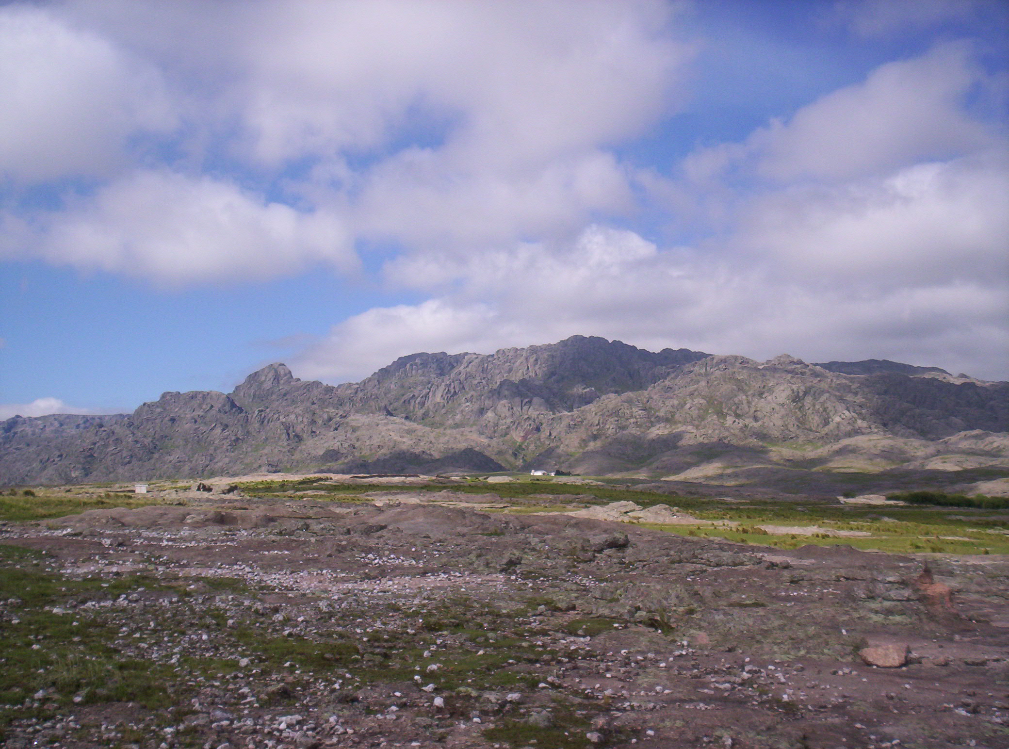
1. Cerro Uritorco
Snapshot
Itinerary
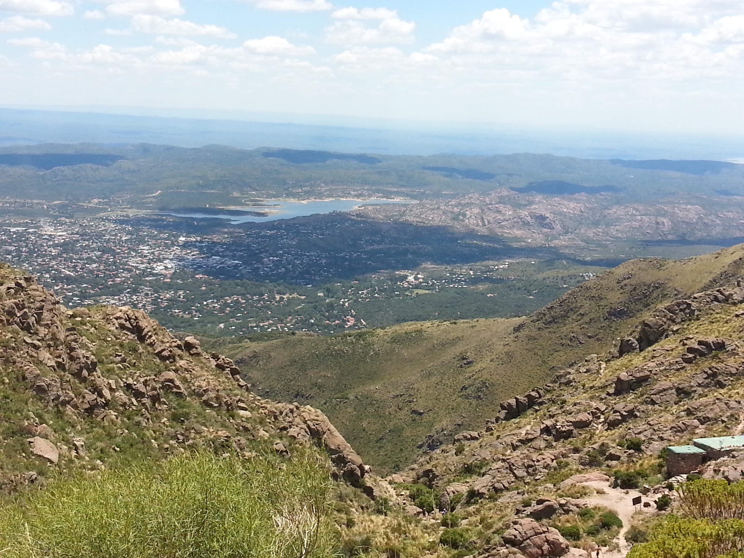
The ascent starts at the paid/registered entry area at the base of Cerro Uritorco. The route climbs through named rest points and vegetated slopes to the highest summit of the Sierras Chicas, with views over Capilla del Monte, Dique El Cajón, Punilla, and the surrounding sierras. Descent follows the same route.
Why it is essential
Uritorco is the emblematic Sierras Chicas summit and the most widely recognised mountain walk in the range.
Equipment
- Sturdy footwear
- Warm and weatherproof layers
- Sun protection
- Food
- Water — enough for the whole route in hot weather
- Map / GPS
- Headtorch
Hazards and notes
- Córdoba Turismo notes the ascent starts at the predio where an entry registration/payment is made and classifies Uritorco as a risk-zone ascent.
- Current fees, opening times, closure status, and registration rules must be checked with the operator/municipality before publication.
GPX / KML links
| Source | URL | Format / access | Reuse status |
|---|---|---|---|
| AllTrails: Cerro Uritorco | alltrails.com | Route page; AllTrails terms apply | Secondary route source only |
| Wikiloc: Cerro Uritorco - Córdoba | wikiloc.com | Route page / GPX via platform; Wikiloc terms apply | Secondary route source only |
External links
2. Cerro Las Gemelas / Sendero del Cóndor
Snapshot
Itinerary
The route starts from the Agua de los Palos complex on the west side of the Sierras Chicas and climbs the ladera toward the Cerro Las Gemelas ridge. Córdoba Turismo’s Sendero del Cóndor route links Agua de los Palos with Cerro Las Gemelas and describes broad views over the Valle de Punilla along the western slope of the range.
Why it is essential
Las Gemelas is the natural companion to Uritorco in the Capilla del Monte skyline and provides a ridge/summit alternative with strong views back toward Uritorco and the Punilla valley.
Equipment
- Mountain hiking footwear
- Water
- Sun protection
- Warm / wind layer
- Navigation backup
Hazards and notes
- The Córdoba Turismo PDF notes the route is not signposted and starts from a private/commercial complex whose access conditions must be checked with the administrator.
- Agua de los Palos’ current website lists trekking access from 08:00 and public complex hours Thursday-Sunday, but operating details can change.
GPX / KML links
| Source | URL | Format / access | Reuse status |
|---|---|---|---|
| Córdoba Turismo senderos PDF map link | google.com/maps | Google My Maps / source map; terms not checked | Official map source found; direct geometry reuse unresolved |
| AllTrails: Agua de los Palos - Las Gemelas | alltrails.com | Route page; AllTrails terms apply | Secondary route source only |
| Wikiloc: Cerro Las Gemelas desde Agua de Los Palos | wikiloc.com | Route page / GPX via platform; Wikiloc terms apply | Secondary route source only |
External links
- Córdoba Turismo — Senderos Turístico 2024 PDF
- Agua de los Palos — official site
- AllTrails — Agua de los Palos - Las Gemelas
- Wikiloc — Cerro Las Gemelas desde Agua de Los Palos
3. Cosquín: Camino al Cerro Pan de Azúcar
Snapshot
Itinerary
The official route begins in Cosquín at Av. González and RP E-54 and follows consolidated road, trail, pasture, and earth terrain toward the Complejo Pan de Azúcar. The route approaches the high western flank of the hill and provides views over Punilla and toward Córdoba.
Why it is essential
Pan de Azúcar is one of the classic named hills of the Sierras Chicas and offers an accessible walking route with official downloadable GPS files.
Equipment
- Hiking shoes
- Water
- Sun protection
- Light weather layer
- Food
- Map / GPS
Hazards and notes
- The official page says the route is not signposted.
- The official technical track ends at the complex and lists a maximum elevation of 1,056.6 m, while tourism text cites the hill at 1,260 m.
- A full summit extension and any aerosilla-area rules need confirmation before treating this as a summit hike.
GPX / KML links
| Source | URL | Format / access | Reuse status |
|---|---|---|---|
| Córdoba Turismo official GPX | cordobaturismo.gov.ar | GPX; explicit route-file reuse terms not found | Official route file found; reuse terms unresolved |
| Córdoba Turismo official KML | cordobaturismo.gov.ar | KML; explicit route-file reuse terms not found | Official route file found; reuse terms unresolved |
External links
- Córdoba Turismo — Cosquín: Camino al Cerro Pan de Azúcar
- Cosquín Turismo — Aerosilla Cerro Pan de Azúcar
4. Río Ceballos: Cascada Los Hornillos
Snapshot
Itinerary
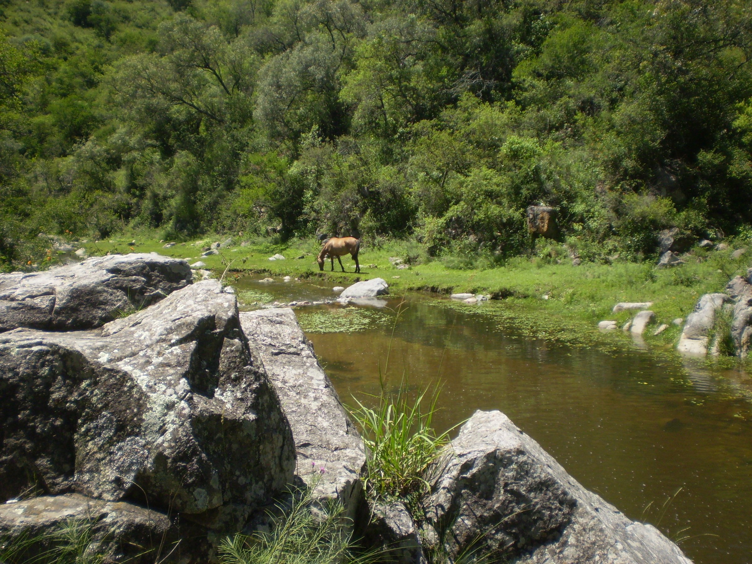
The trail starts at Villa Colanchanga and enters the Parque La Quebrada reserve landscape to reach the 10 m Cascada Los Hornillos. The official route includes stone, grass, herbaceous ground, compact earth, some obstacles, panoramic views in the first 500 m, and stream crossings.
Why it is essential
Los Hornillos is a compact waterfall walk in one of the main lower Sierras Chicas hydrological reserve areas and gives the catalogue a lower, wetter contrast to the dry summit routes.
Equipment
- Shoes with grip
- Water
- Sun protection
- Light rain layer
- Map / GPS
Hazards and notes
- Official data indicates stream crossings and intermittent water availability.
- Avoid the route after heavy rain or when streams are unsafe.
- Use extra caution around wet rock.
GPX / KML links
| Source | URL | Format / access | Reuse status |
|---|---|---|---|
| Córdoba Turismo senderos PDF map link | google.com/maps | Google My Maps / source map; terms not checked | Official map source found; direct geometry reuse unresolved |
External links
5. Unquillo: Los Chorritos de Cabana
Snapshot
Itinerary
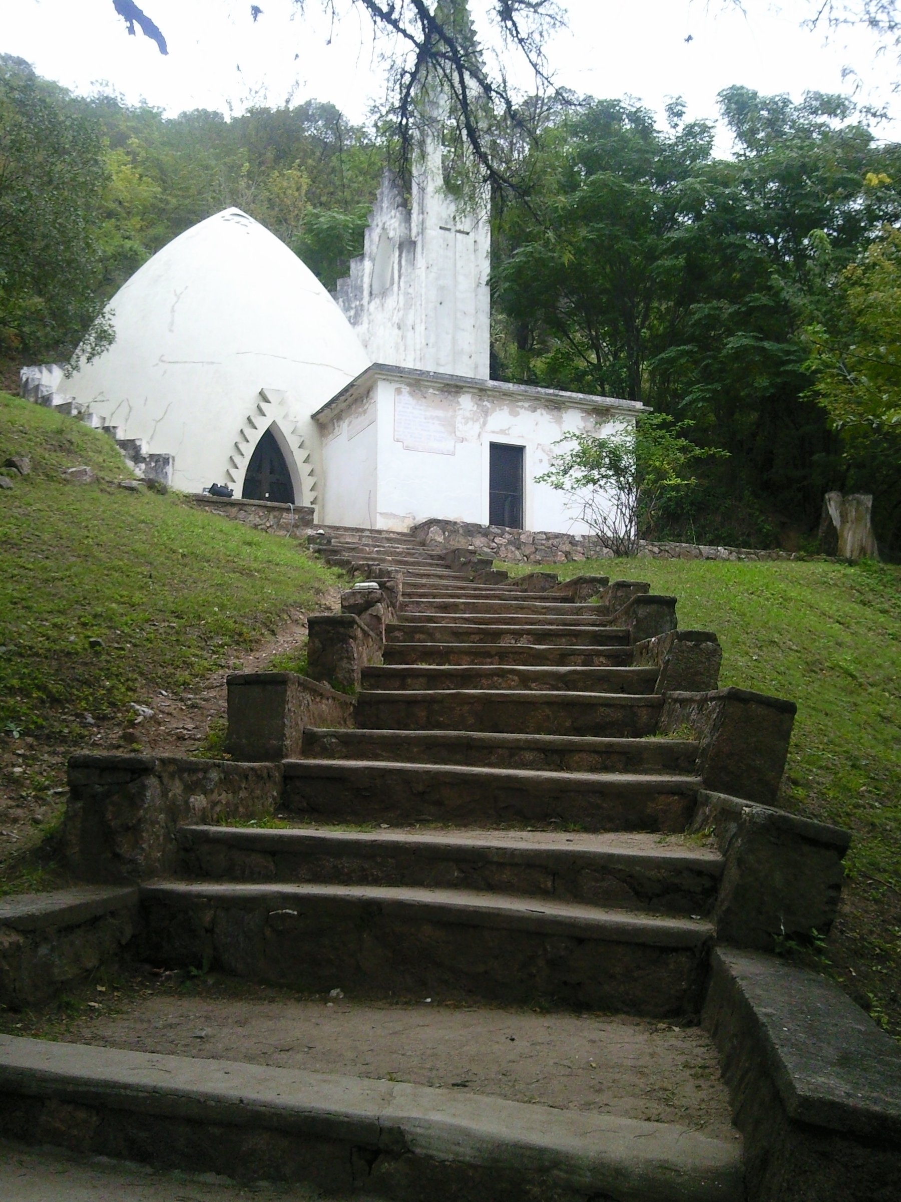
The route starts near the Casa Museo y Capilla Buffo and follows the margins of Arroyo Cabana toward Cascada Los Chorritos de Cabana. Official material describes it as an interpretive trail requiring prior reservation, with signage to about km 1.7 and the option to combine the outing with Capilla Buffo and the municipal natural reserve.
Why it is essential
Los Chorritos combines water, reserve walking, and the cultural landscape around Capilla Buffo, making it a representative lower Sierras Chicas walk rather than only a summit outing.
Equipment
- Shoes with grip
- Water
- Sun protection
- Light rain layer
- Navigation backup, because only the first 1.7 km is listed as signposted
Hazards and notes
- Prior reservation/access confirmation is required according to the Córdoba Turismo PDF.
- The route has stream crossings and obstacles; avoid after heavy rain.
GPX / KML links
| Source | URL | Format / access | Reuse status |
|---|---|---|---|
| Córdoba Turismo senderos PDF map link | google.com/maps | Google My Maps / source map; terms not checked | Official map source found; direct geometry reuse unresolved |
| Unquillo reserve access page | unquillo.gov.ar | Access/source page; website terms not checked | Access info source; no GPX found |
External links
External links
| Source | URL |
|---|---|
| Córdoba Turismo — Cerro Uritorco | cordobaturismo.gov.ar |
| Córdoba Turismo — Cosquín: Camino al Cerro Pan de Azúcar | cordobaturismo.gov.ar |
| Córdoba Turismo — Senderos Turístico 2024 PDF | cordobaturismo.gov.ar |
| Agua de los Palos — official site | aguadelospalos.com.ar |
| Cosquín Turismo — Aerosilla Cerro Pan de Azúcar | cosquinturismo.gob.ar |
| Unquillo — Reserva | unquillo.gov.ar |
| AllTrails — Cerro Uritorco | alltrails.com |
| AllTrails — Agua de los Palos - Las Gemelas | alltrails.com |
| Wikiloc — Cerro Uritorco - Córdoba | wikiloc.com |
| Wikiloc — Cerro Las Gemelas desde Agua de Los Palos | wikiloc.com |