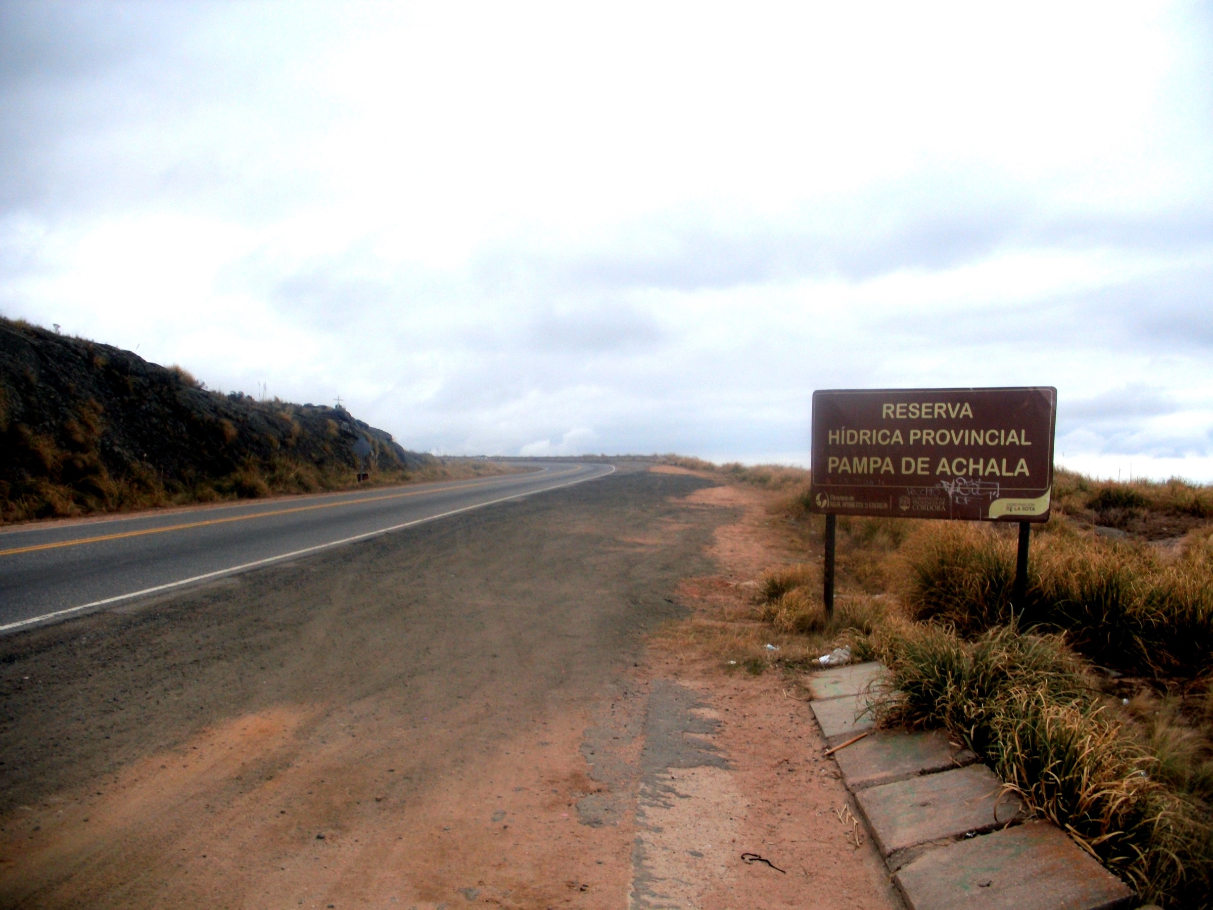
Regional overview
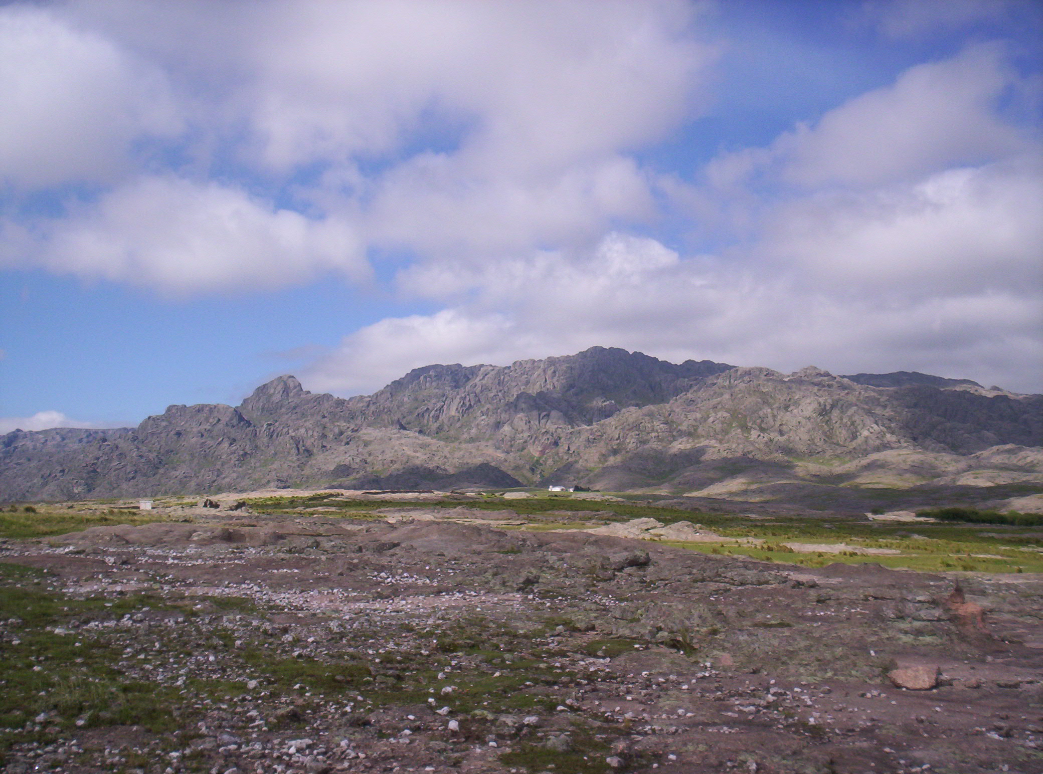
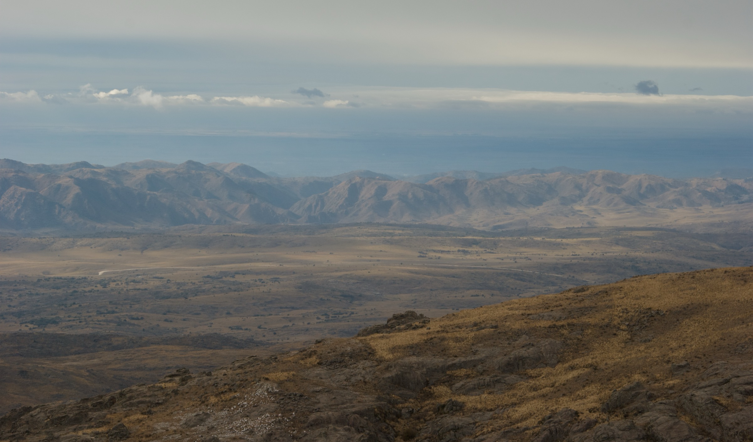
Quebrada del Condorito is a high-sierras national park on the Pampa de Achala, west of Cordoba city, protecting a deep canyon of the Rio de los Condoritos and surrounding high grassland, rocky slopes, tabaquillo woodland fragments, and condor habitat. The walking character is open, exposed, windy, and often deceptively serious for a non-Andean range.
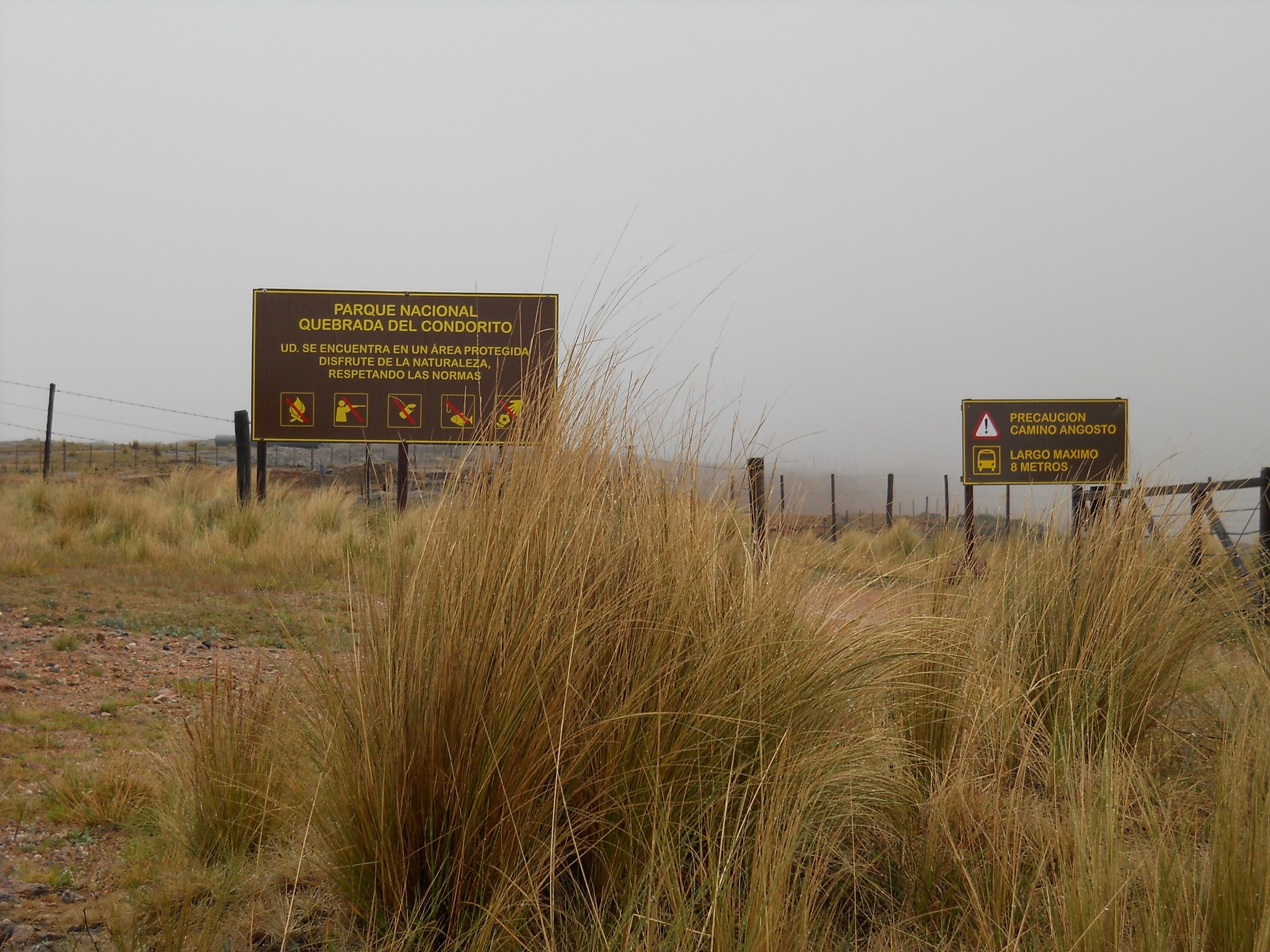
The principal public access is La Pampilla on Ruta Provincial 34, km 59.5, with the Centro de Visitantes Achala and the main trail toward the canyon. A second public access, Dos Puertas / La Trinidad / Paso de las Piedras, serves the centre-west sector of the park. As of 1 May 2026, the park had resumed the visit conditions that applied before the October 2025 fire, with free access and compulsory visitor registration.
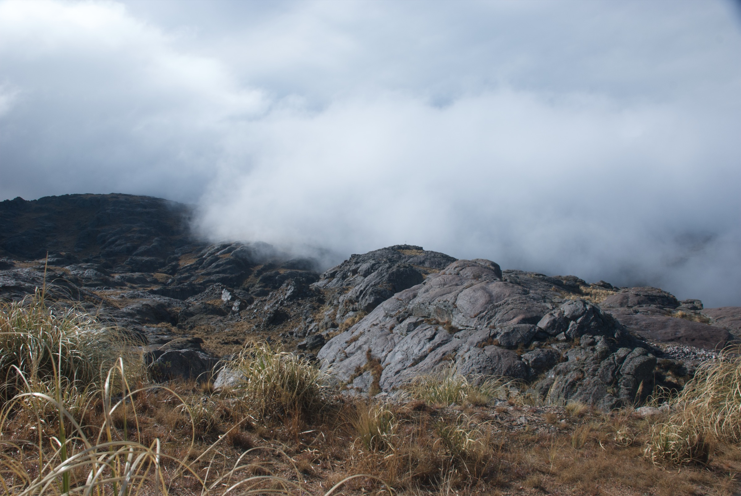
The main hiking season is year-round in fair weather, but summer storms and fog, winter ice, strong wind, and rapid temperature changes are important hazards. Park rules prohibit pets, fires, swimming in the Rio de los Condoritos, leaving marked routes without an authorised guide, and camping outside designated areas.
Selection rationale
The selection covers the park’s essential canyon viewpoints, the demanding river descent, the guided south-rim route, and two interpretive or western-sector walks. Quebrada del Condorito has fewer standalone day-hikes than larger mountain regions, so two short interpretive routes are included as candidate essential walks for a compact protected-area entry.
Summary table
| # | Hike | Country | Route type | Distance | Gain | Max elevation | Difficulty |
|---|---|---|---|---|---|---|---|
| 1 | Sendero Principal al Balcon Norte | Argentina | Out-and-back | 10.0-11.9 km | 360-395 m | 1,941 m | Moderate |
| 2 | Bajada al Rio de los Condoritos | Argentina | Out-and-back extension | 10 km total official; 2.25 km lower spur secondary | ca. 200 m lower spur; total unresolved | Hard | |
| 3 | Balcon Sur via Rio de los Condoritos | Argentina | Guided out-and-back / traverse variant | 2.7 km lower sector; full day ca. 8 h | 100-195 m lower sector; full total unresolved | Hard / guide required | |
| 4 | Sendero Interpretativo Piedra Libre al Zorro | Argentina | Short interpretive detour | Distance unresolved; 45 min from main trail | Moderate | ||
| 5 | La Trinidad: Bano de las Ovejas | Argentina | Short interpretive walk | Distance unresolved; 30 min official | Easy |
1. Sendero Principal al Balcon Norte
Snapshot
Itinerary
The main route starts from the visitor-access area and follows consolidated park tracks and marked earth-and-stone trail across the Pampa de Achala toward the north rim of the canyon. Distance markers every 500 m assist orientation. The route ends at the Balcon Norte viewing area above the Rio de los Condoritos, then returns by the same trail.
Why it is essential
This is the standard canyon-viewing walk of the national park and the most accessible route for observing the Quebrada del Condorito landscape and condor habitat without hiring a guide.
Equipment
- Boots or shoes with antislip soles
- Warm layer
- Weatherproof layer
- Sun protection
- Food
- Map/GPS
- At least 2 litres of water per person; park information says visitors should carry their own drinking water
- Trekking poles recommended by the park because of length, steps, and cumulative descent/ascent
Hazards and notes
- Visitor registration is compulsory.
- Balcon Norte entry window listed as 08:00-15:00 from October to March and 09:00-13:00 or 13:30 from April to September depending on current park page wording; confirm before departure.
- Pets, fires, smoking on trails/viewpoints, and leaving marked paths without an authorised guide are prohibited.
GPX / KML links
| Source | URL | Format / access | Reuse status |
|---|---|---|---|
| Cordoba Turismo senderos PDF map link | google.com/maps | Google My Maps / source map; Google / source terms not checked | Route source found; direct geometry reuse unresolved |
| AllTrails: Quebrada del Condorito Trail | alltrails.com | Route page; AllTrails terms apply | Secondary source only |
| Wikiloc: Parque Nacional Quebrada del Condorito - Balcon Norte | wikiloc.com | Route page / GPX via platform; Wikiloc terms apply | Secondary source only |
External links
- Parque Nacional Quebrada del Condorito — Activities and trails
- Parque Nacional Quebrada del Condorito — Hours and access
- Cordoba Turismo — Senderos Turísticos 2024 (PDF)
- AllTrails — Sendero Quebrada del Condorito
- Wikiloc — Quebrada del Condorito Balcón Norte
2. Bajada al Rio de los Condoritos
Snapshot
Itinerary
The route follows the main Balcon Norte trail to the river-descent junction near the canyon. From the Posta 10 sector, a steeper path drops into the Quebrada del Condorito to the river and footbridge area, losing more than 200 m before the same ascent is regained on return.
Why it is essential
The river descent gives direct experience of the depth of the canyon rather than only viewing it from the rim. It is the park’s classic strenuous walking objective below the Balcon Norte route.
Equipment
- Boots and trekking poles
- Water
- Sun protection
- Warm and waterproof layers
- Food
- Headtorch
- Extra care with knees and footing on the steep return climb
Hazards and notes
- The park prohibits swimming or using the Rio de los Condoritos as a bathing area.
- The lower route can close in winter when ice makes the path dangerous.
- River crossings/vados must not be attempted during unsafe flow.
- Entry and permanence times are restricted; confirm current times before departure.
GPX / KML links
| Source | URL | Format / access | Reuse status |
|---|---|---|---|
| AllTrails: Sendero Rio de los Condoritos | alltrails.com | Route page; AllTrails terms apply | Secondary route source only |
| Wikiloc: Sendero Bajada al Rio de los Condoritos | wikiloc.com | Route page / GPX via platform; Wikiloc terms apply | Secondary route source only |
External links
- Parque Nacional Quebrada del Condorito — Activities and trails
- APN — Guide-study material PDF 2025
- AllTrails — Sendero Rio de los Condoritos
- Wikiloc — Bajada al Rio de los Condoritos
3. Balcon Sur via Rio de los Condoritos
Snapshot
Itinerary
The guided route descends from the north side toward the Rio de los Condoritos, crosses the bridge/passarela area, and climbs the south slope to the Balcon Sur viewpoint. The south side is described by park material as more exposed and less vegetated than the north slope.
Why it is essential
Balcon Sur is the more committing companion to Balcon Norte and provides a close south-rim view over the canyon and condor-use areas. It is essential for the park catalogue, but it is not a simple self-guided walk.
Equipment
- Mountain hiking equipment
- Extra water
- Trekking poles
- Sun protection
- Rain/wind shell
- Warm layer
- Food
- Navigation backup
- Headtorch
- Authorised trekking guide required by park rules
Hazards and notes
- The route requires authorised guiding.
- Park material says weather must be optimal, the descent and re-ascent duplicate the effort of the river route, and the south slope is exposed.
- Registration remains compulsory.
GPX / KML links
| Source | URL | Format / access | Reuse status |
|---|---|---|---|
| AllTrails: Rio de los Condoritos - Balcon Sur | alltrails.com | Route page; AllTrails terms apply | Secondary route source only |
| AllTrails: Balcon Sur Trail - Rodolfo Gimenez Area | alltrails.com | Route page; AllTrails terms apply | Secondary route source only |
| Wikiloc: Quebrada del Condorito - Balcon Sur | wikiloc.com | Route page / GPX via platform; Wikiloc terms apply | Secondary route source only |
External links
- La Ruta Natural — Parque Nacional Quebrada del Condorito
- Villa Carlos Paz Tur — PN Quebrada del Condorito
- APN — Guide-study material PDF 2025
- AllTrails — Rio de los Condoritos - Balcón Sur
4. Sendero Interpretativo Piedra Libre al Zorro
Snapshot
Itinerary
This short interpretive pedestrian circuit branches from the main Balcon Norte route between park postas 6 and 7. It is intended as an educational detour with interpretive signage rather than a separate long-distance objective.
Why it is essential
It adds ecological and interpretive context to the main canyon walk and is one of the named official pedestrian options inside the park. It is included because the park has a compact trail network, not because it is a full day-hike by itself.
Equipment
- Standard hiking equipment, especially sun protection, water, and footwear suitable for the main Balcon Norte approach
Hazards and notes
- Use only as an add-on to the main trail unless current park staff confirm a separate access.
- Entry windows follow the main trail: October-March 08:00-15:00 and April-September 09:00-13:00 according to the current park page.
GPX / KML links
| Source | URL | Format / access | Reuse status |
|---|---|---|---|
| Official park activity page | quebradadelcondorito.com.ar | Text source; website terms not checked | No GPX/KML found |
External links
5. La Trinidad - Bano de las Ovejas
Snapshot
Itinerary
The route is a short interpretive walk near the La Trinidad ranger/sector area. Park material describes it as a low-difficulty circuit about traditional sheep-washing work and life in Achala in the 1960s.
Why it is essential
The La Trinidad / Paso de las Piedras sector represents the less-visited centre-west side of Quebrada del Condorito, with picnic, fishing-season, education, and low-impact recreation options distinct from the canyon-rim approach.
Equipment
- Standard hiking equipment
- Carry drinking water, as the park notes there is no gastronomy or potable-water service in the La Trinidad / Paso de las Piedras sector
Hazards and notes
- Registration is compulsory.
- Pets, fires, swimming, and leaving authorised routes are prohibited.
- Fishing requires printed permits and only applies in season; this route is not itself a fishing route.
GPX / KML links
| Source | URL | Format / access | Reuse status |
|---|---|---|---|
| Official park activity page | quebradadelcondorito.com.ar | Text source; website terms not checked | No GPX/KML found |
External links
- Parque Nacional Quebrada del Condorito — Hours and access
- Parque Nacional Quebrada del Condorito — Activities and trails
External links
| Source | URL |
|---|---|
| Parque Nacional Quebrada del Condorito — Official visitor/access page | quebradadelcondorito.com.ar |
| Parque Nacional Quebrada del Condorito — Official activities page | quebradadelcondorito.com.ar |
| Villa Carlos Paz tourism — 1 May 2026 reopening conditions | villacarlospaz.tur.ar |
| La Ruta Natural — Parque Nacional Quebrada del Condorito | larutanatural.gob.ar |
| Argentina National Parks — Activities page | argentina.gob.ar |
| Córdoba Turismo — Senderos Turísticos 2024 (PDF) | cordobaturismo.gov.ar |
| APN — Guide-study material PDF 2025 | argentina.gob.ar |
| AllTrails — Sendero Quebrada del Condorito | alltrails.com |
| AllTrails — Sendero Rio de los Condoritos | alltrails.com |
| AllTrails — Rio de los Condoritos - Balcón Sur | alltrails.com |
| AllTrails — Sendero Balcón Sur (Rodolfo Giménez area) | alltrails.com |
| Wikiloc — Quebrada del Condorito Balcón Norte | wikiloc.com |
| Wikiloc — Bajada al Rio de los Condoritos | wikiloc.com |
| Wikiloc — Quebrada del Condorito - Balcón Sur | wikiloc.com |