Regional overview
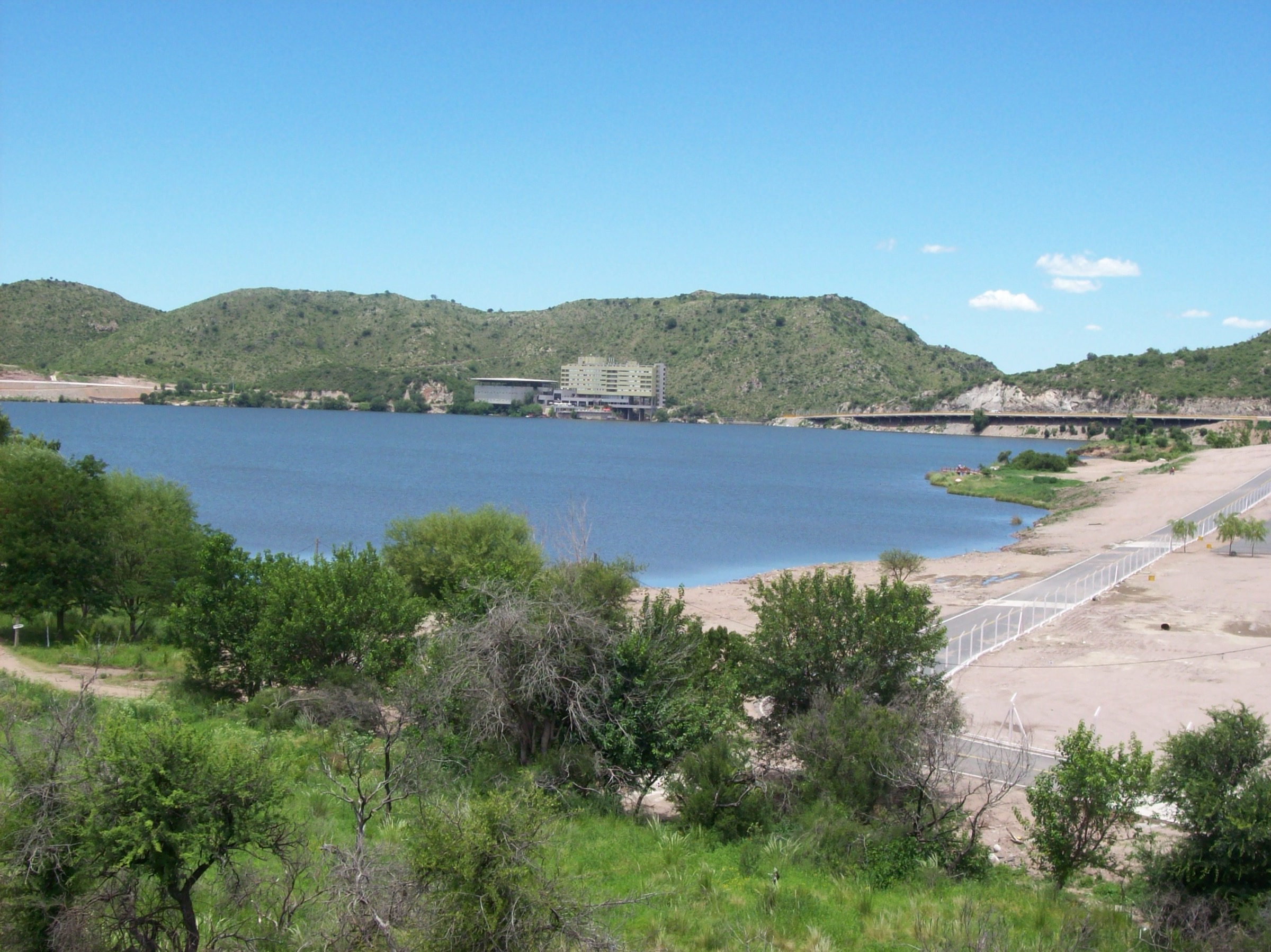
This region covers two accessible tourism hubs on opposite sides of the San Luis / Comechingones highland system: Potrero de los Funes near the San Luis capital area, and Villa de Merlo below the western face of the Comechingones. Walks are generally short to medium length, with rocky miradors, stream gullies, waterfalls and small summit crosses.
The walking season is broad, but summer heat and storm runoff make early starts important. Many hikes are short enough for half-day outings but still require real footwear because of loose rock, stream crossings and steep short climbs.
Selection rationale
The selection balances Potrero summit / waterfall walks with Merlo reserve and stream-gorge routes, avoiding a duplicate of the longer Cerro Valle de Piedra route already used in the wider highlands entry.
Summary table
| # | Hike | Country | Route type | Distance | Gain | Max elevation | Difficulty |
|---|---|---|---|---|---|---|---|
| 1 | Cerro de la Cruz | Argentina | Out-and-back | 5.3 km | 376 m | 1,181 m | Hard |
| 2 | Salto del Arco Iris | Argentina | Out-and-back | 2.3 km | 129 m | 1,128 m | Moderate |
| 3 | Cruz del Mogote Bayo | Argentina | Loop | 3.2 km | 202 m | 1,374 m | Moderate |
| 4 | Salto del Tigre | Argentina | Out-and-back | 3.5 km | 261 m | 1,432 m | Moderate |
| 5 | Cascada de los Vencejos | Argentina | Out-and-back | 2.6 km | 186 m | 1,434 m | Moderate |
1. Cerro de la Cruz
Snapshot
Itinerary
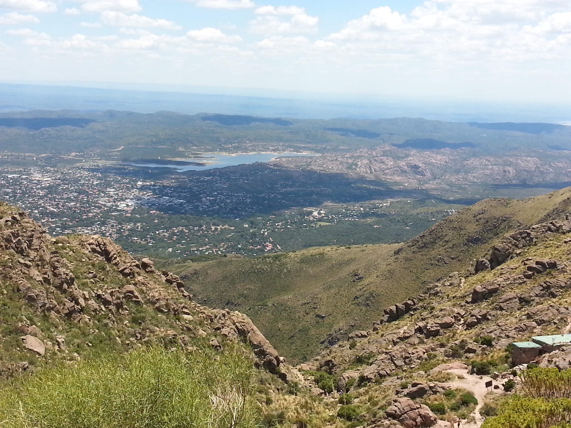
The path climbs quickly from the road toward the summit cross, gaining open views over San Luis, Juana Koslay, the plains and the surrounding central sierras.
Why it is essential
It is one of the most accessible summit viewpoints in the San Luis urban highland fringe and gives a concise introduction to the terrain above Potrero de los Funes.
Equipment
- Standard hiking equipment, with firm footwear
- Sun protection and enough water
Hazards and notes
- The climb is short but steep and exposed.
- Sunset use is popular, but a headtorch is needed if descending near dark.
GPX / KML links
| Source | URL | Format / access | Reuse status |
|---|---|---|---|
| AllTrails: Cerro de la Cruz | alltrails.com | Web map / source route; AllTrails terms apply | Reference only |
External links
2. Salto del Arco Iris
Snapshot
Itinerary
The route follows a short mountain-waterfall approach in the Potrero de los Funes area, near the Salto de la Moneda and Salto Chico sector, to reach the Arco Iris waterfall.
Why it is essential
This is the representative short waterfall hike for Potrero de los Funes, contrasting with the longer summit climbs above the lake.
Equipment
- Standard hiking equipment with grippy footwear
Hazards and notes
- Wet rock and sudden stream rise after rain are the main issues.
- Avoid the gorge during storms.
GPX / KML links
| Source | URL | Format / access | Reuse status |
|---|---|---|---|
| AllTrails: Salto del Arco Iris | alltrails.com | Web map / source route; AllTrails terms apply | Reference only |
External links
3. Cruz del Mogote Bayo

Snapshot
Itinerary
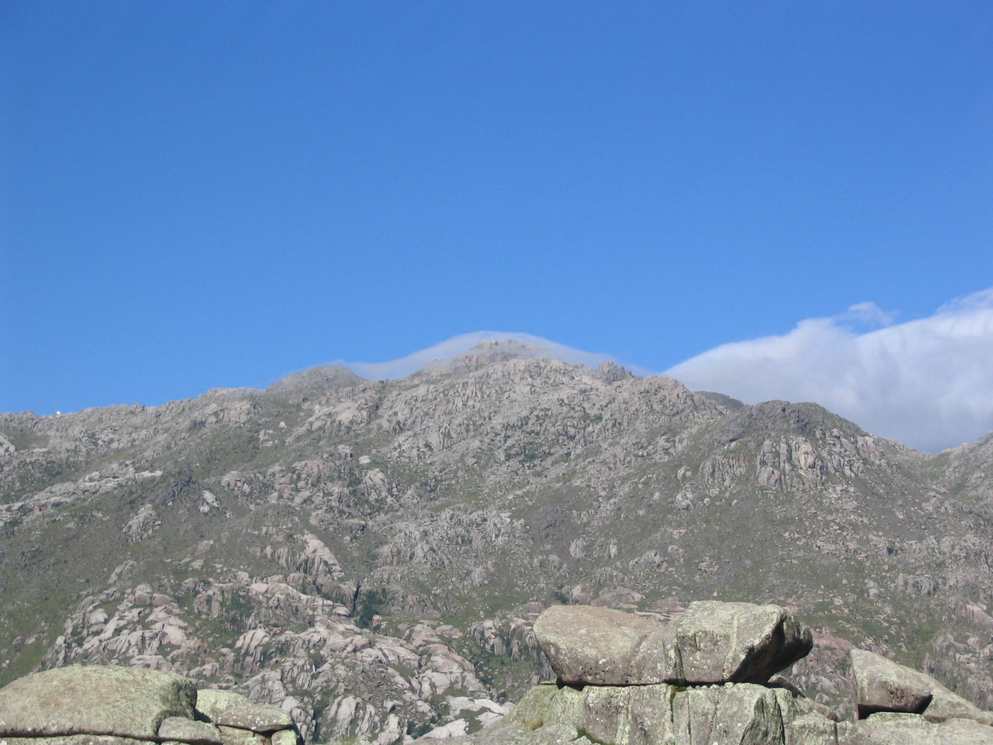
The trail climbs through the reserve and Vía Crucis area toward the cross on Mogote Bayo, with views over Merlo and the Conlara valley. The return follows the loop back to the reserve entrance.
Why it is essential
It is the classic short Merlo viewpoint walk, combining local cultural markers, protected serrano habitat and a compact summit objective.
Equipment
- Standard hiking equipment
- Water and sun protection
Hazards and notes
- AllTrails notes a reserve entrance contribution and a required return sign-in by 16:00.
- Several secondary paths exist; stay on the intended loop and avoid ravine edges.
GPX / KML links
| Source | URL | Format / access | Reuse status |
|---|---|---|---|
| AllTrails: Cruz del Mogote Bayo | alltrails.com | Web map / source route; AllTrails terms apply | Reference only |
External links
4. Salto del Tigre
Snapshot
Itinerary
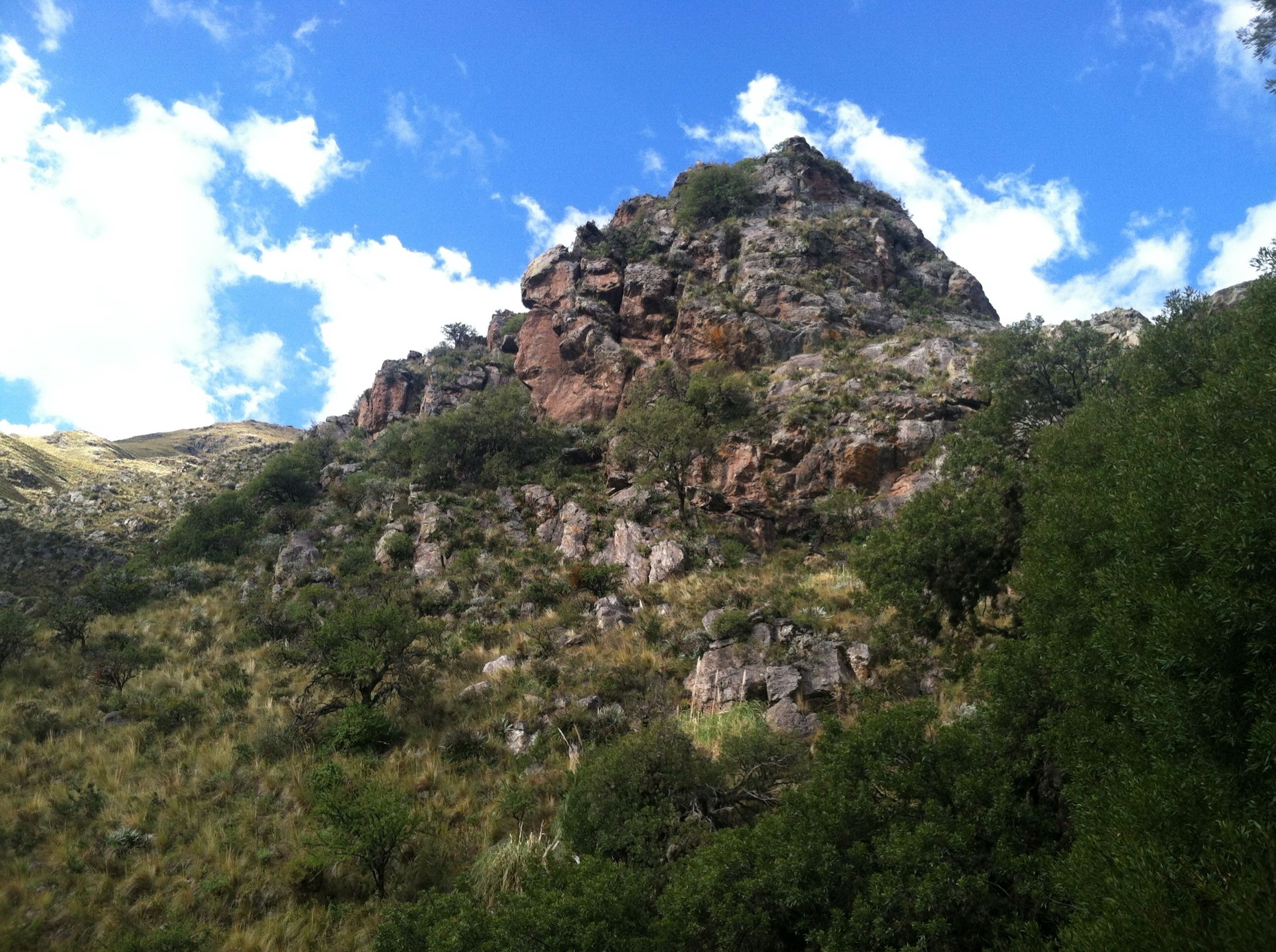
The route starts in the Chumamaya area and follows the El Tigre stream corridor to the waterfall, using a moderate mountain path through the lower Comechingones foothills.
Why it is essential
It is a representative Merlo stream-and-waterfall walk with better mountain character than the shortest roadside viewpoints.
Equipment
- Standard hiking equipment
- Grippy footwear and water
Hazards and notes
- Waterfall approaches can be slippery.
- Do not enter the drainage during or immediately after heavy rain.
GPX / KML links
| Source | URL | Format / access | Reuse status |
|---|---|---|---|
| AllTrails: Salto del Tigre | alltrails.com | Web map / source route; AllTrails terms apply | Reference only |
External links
5. Cascada de los Vencejos
Snapshot
Itinerary
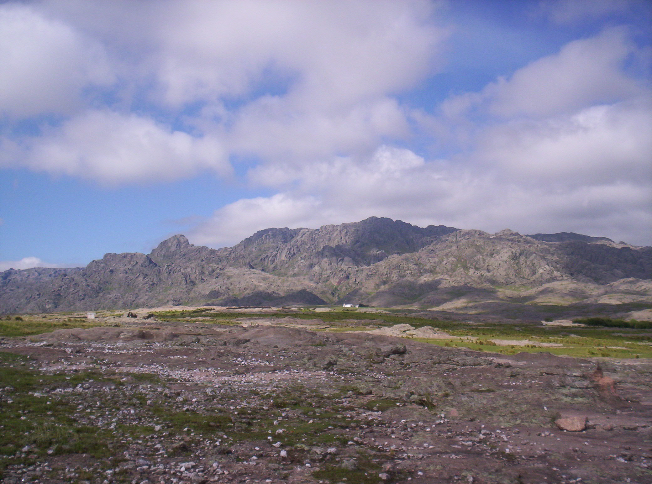
The route follows stone and stream-side terrain along Arroyo Molino toward Cascada de los Vencejos and the Hoya Esmeralda pool.
Why it is essential
This is a compact waterfall route that broadens the Merlo selection beyond the better-known Tabaquillo and Mogote Bayo walks.
Equipment
- Standard hiking equipment with grippy footwear
Hazards and notes
- AllTrails review summary notes slippery grass and occasional route-finding difficulty.
- GPS / map support is recommended despite the short distance.
GPX / KML links
| Source | URL | Format / access | Reuse status |
|---|---|---|---|
| AllTrails: Cascada de los Vencejos | alltrails.com | Web map / source route; AllTrails terms apply | Reference only |
External links
External links
| Source | URL |
|---|---|
| AllTrails — Cerro de la Cruz | alltrails.com |
| AllTrails — Salto del Arco Iris | alltrails.com |
| AllTrails — Cruz del Mogote Bayo | alltrails.com |
| AllTrails — Salto del Tigre | alltrails.com |
| AllTrails — Cascada de los Vencejos | alltrails.com |
| Wikipedia — Villa de Merlo | es.wikipedia.org |
| Wikipedia — Potrero de los Funes | es.wikipedia.org |
| Wikipedia — Reserva Provincial Natural Mogote Bayo | es.wikipedia.org |