Regional overview
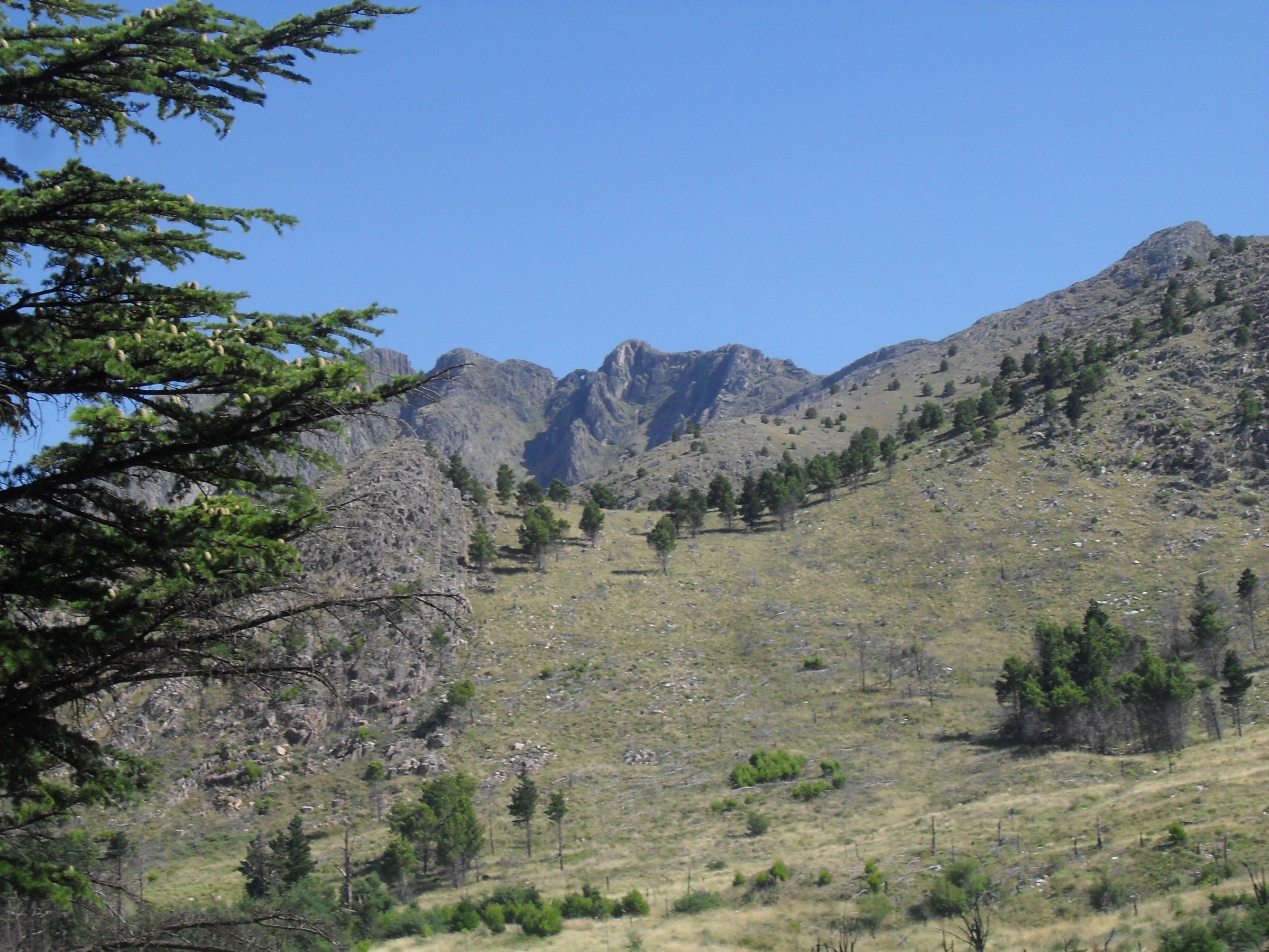
Sierra de la Ventana is the main walking area of the Ventania system in Buenos Aires province. It is much lower than the Andes or the Córdoba highlands, but the quartzite ridges are steep, rocky and weather-exposed. The landscape is open pampas grassland, folded rock, narrow ravines and small waterfalls.
The main centres are Sierra de la Ventana, Villa Ventana, Tornquist and the Parque Provincial Ernesto Tornquist access points. Some routes are inside the provincial park and may require registration, fees, guide accompaniment or fixed start times. Cerro Tres Picos lies on private land associated with Estancia / Fundación Funke.
Summer heat, strong wind, winter frost and occasional snow all affect route seriousness. The area is also fire-sensitive.
Selection rationale
The selection combines the named Cerro Ventana, the highest Ventania summit, a park viewpoint summit, a ravine / waterfall walk and a pool / ravine walk.
Summary table
| # | Hike | Country | Route type | Distance | Gain | Max elevation | Difficulty |
|---|---|---|---|---|---|---|---|
| 1 | Cerro Ventana | Argentina | Guided out-and-back | 6.6 km | 636 m | 1,096-1,136 m | Hard |
| 2 | Cerro Tres Picos | Argentina | Out-and-back | 19.2 km | 996 m | 1,236-1,239 m | Hard |
| 3 | Cerro Bahía Blanca | Argentina | Out-and-back | 3.1 km | 281 m | 739-746 m | Moderate |
| 4 | Garganta Olvidada | Argentina | Out-and-back | 1.4 km | 91 m | 589 m | Moderate |
| 5 | Los Piletones | Argentina | Out-and-back | 2.4 km | 213 m | 609 m | Moderate |
1. Cerro Ventana
Snapshot
Itinerary
The ascent starts at the Cerro Ventana sector of the provincial park and climbs a marked mountain path toward the famous natural window near the summit ridge. The route returns by the same line.
Why it is essential
This is the named formation that gives the whole Sierra de la Ventana region its identity, and it is the classic objective in Parque Provincial Ernesto Tornquist.
Equipment
- Sturdy shoes / boots
- Sun and wind protection
- Warm layer
- Water and food
- Headtorch margin
Hazards and notes
- AllTrails states a park-ranger guide is required and excursions start at 08:00.
- Current access rules must be checked with the park before travel.
- The upper route is exposed to wind and weather.
GPX / KML links
| Source | URL | Format / access | Reuse status |
|---|---|---|---|
| AllTrails: Cerro de la Ventana | alltrails.com | Web map / source route; AllTrails terms apply | Reference only |
External links
- AllTrails — Cerro de la Ventana
- Wikipedia — Parque Provincial Ernesto Tornquist
- Wikipedia — Cerro Ventana
2. Cerro Tres Picos

Snapshot
Itinerary
The route leaves the Funke access area, follows the shared approach used for Cerro Napostá, then forks toward the Tres Picos summit. It is a long, open day with sustained ascent and returns on the same line.
Why it is essential
Cerro Tres Picos is the highest summit in the Ventania system and the highest point in Buenos Aires province, making it the region’s major endurance day hike.
Equipment
- Mountain hiking equipment
- 2-3 litres of water
- Navigation backup
- Sun / wind protection and headtorch
Hazards and notes
- The route is on private access land; current permission, fees and rules need confirmation.
- Heat, wind and lack of shade are key issues.
- Some parties split the ascent with camping, but fit walkers can complete it in one day.
GPX / KML links
| Source | URL | Format / access | Reuse status |
|---|---|---|---|
| AllTrails: Cerro Tres Picos | alltrails.com | Web map / source route; AllTrails terms apply | Reference only |
External links
3. Cerro Bahía Blanca

Snapshot
Itinerary
The path climbs from the park sector to the Cerro Bahía Blanca summit viewpoint, looking across toward Cerro Ventana and the surrounding folded ridges.
Why it is essential
It is the most accessible proper summit viewpoint in the provincial park and gives a compact view of the park’s geology and ridges.
Equipment
- Standard hiking equipment with firm footwear
- Sun / wind protection
Hazards and notes
- Short rocky ascent.
- Check provincial park access rules, opening hours and weather.
GPX / KML links
| Source | URL | Format / access | Reuse status |
|---|---|---|---|
| AllTrails: Cerro Bahía Blanca | alltrails.com | Web map / source route; AllTrails terms apply | Reference only |
External links
4. Garganta Olvidada
Snapshot
Itinerary
The trail follows the arroyo channel into Garganta Olvidada, a short ravine below Cerro Ventana where a seasonal waterfall can be present in wet periods.
Why it is essential
It represents the ravine and waterfall side of the provincial park without the commitment of the major summits.
Equipment
- Standard hiking equipment
- Footwear with grip is important on wet rock
Hazards and notes
- The route is short but slippery when wet.
- Check park rules; older park summaries describe it as autoguided, while access policies may change.
GPX / KML links
| Source | URL | Format / access | Reuse status |
|---|---|---|---|
| AllTrails: Garganta Olvidada | alltrails.com | Web map / source route; AllTrails terms apply | Reference only |
External links
5. Los Piletones
Snapshot
Itinerary
The walk follows park tracks toward the piletas / pools and small waterfall features, passing ravine and woodland sections before returning the same way.
Why it is essential
It is a short water-focused route that balances the summit-heavy Ventania selection.
Equipment
- Standard hiking equipment with grippy footwear
Hazards and notes
- Wet rock and pool edges require care.
- Swimming status and park rules were not verified; confirm locally.
GPX / KML links
| Source | URL | Format / access | Reuse status |
|---|---|---|---|
| AllTrails: Los Piletones | alltrails.com | Web map / source route; AllTrails terms apply | Reference only |
External links
External links
| Source | URL |
|---|---|
| AllTrails — Cerro de la Ventana | alltrails.com |
| AllTrails — Cerro Tres Picos | alltrails.com |
| AllTrails — Cerro Bahía Blanca | alltrails.com |
| AllTrails — Garganta Olvidada | alltrails.com |
| AllTrails — Los Piletones | alltrails.com |
| Wikipedia — Parque Provincial Ernesto Tornquist | es.wikipedia.org |
| Wikipedia — Cerro Ventana | es.wikipedia.org |
| Wikipedia — Cerro Tres Picos | es.wikipedia.org |