Regional overview
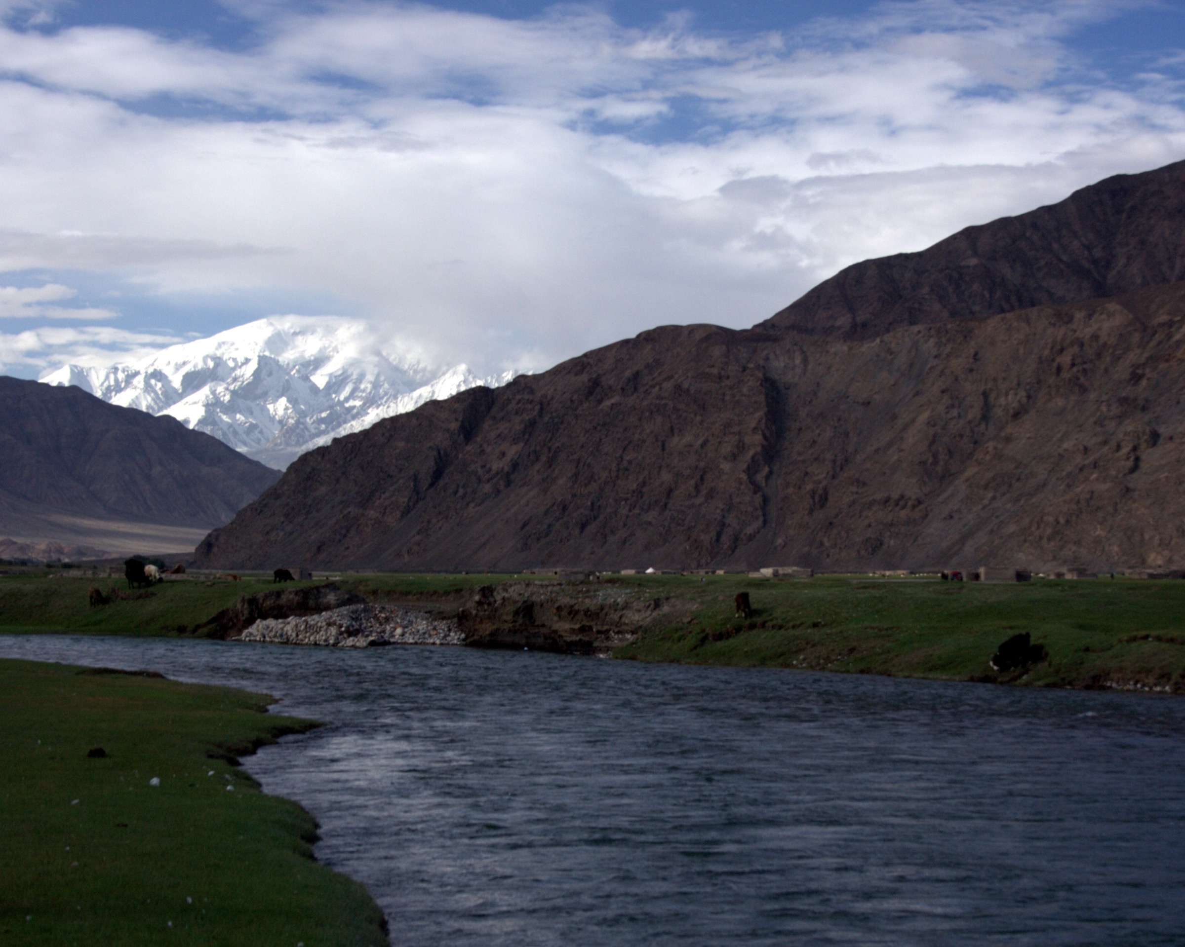
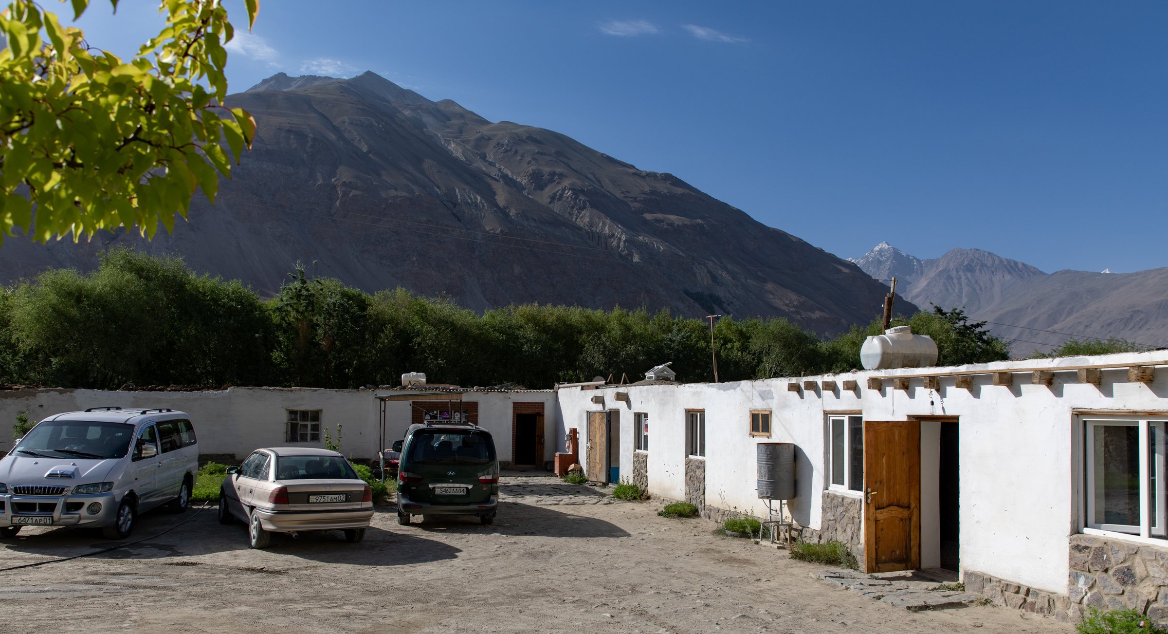
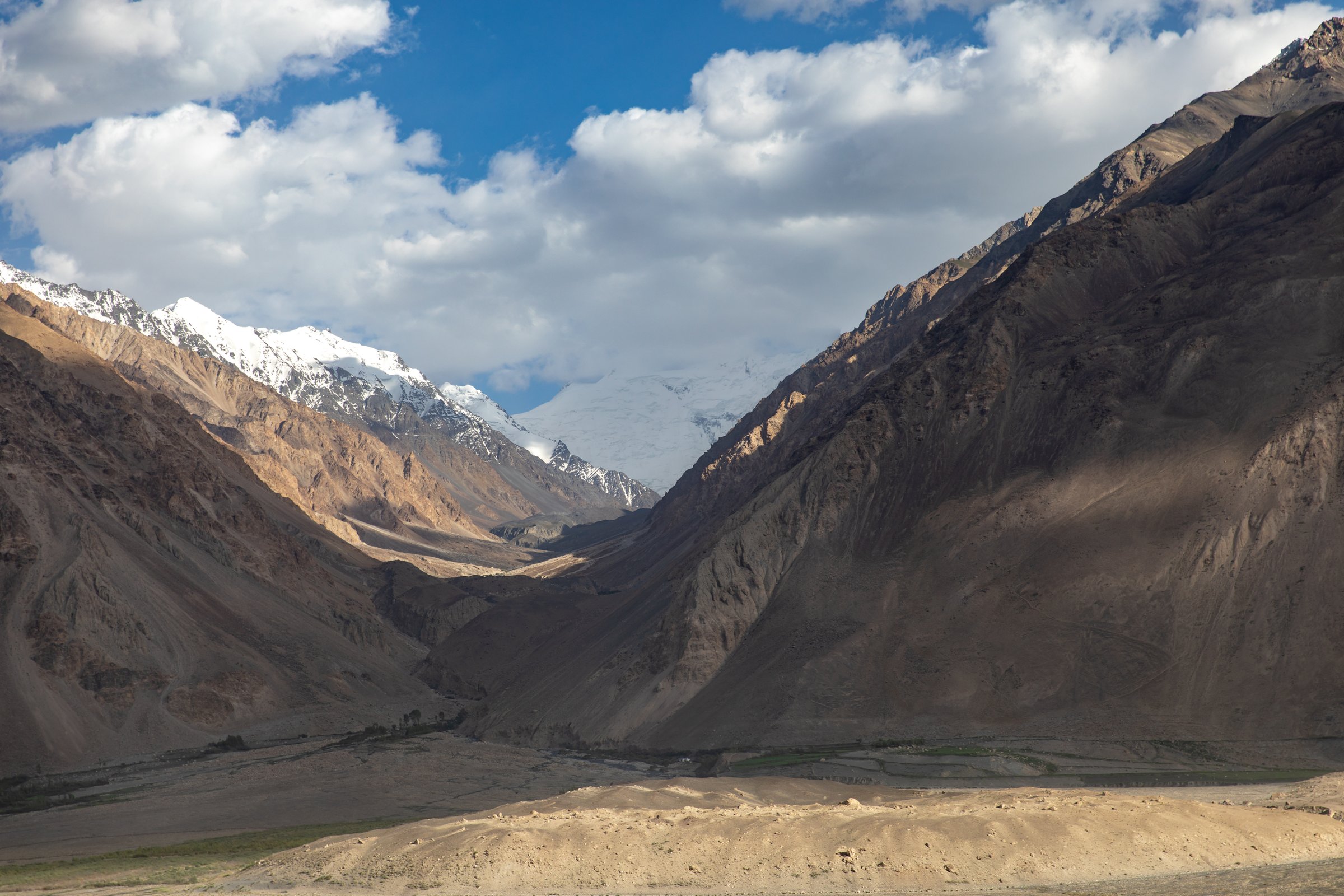
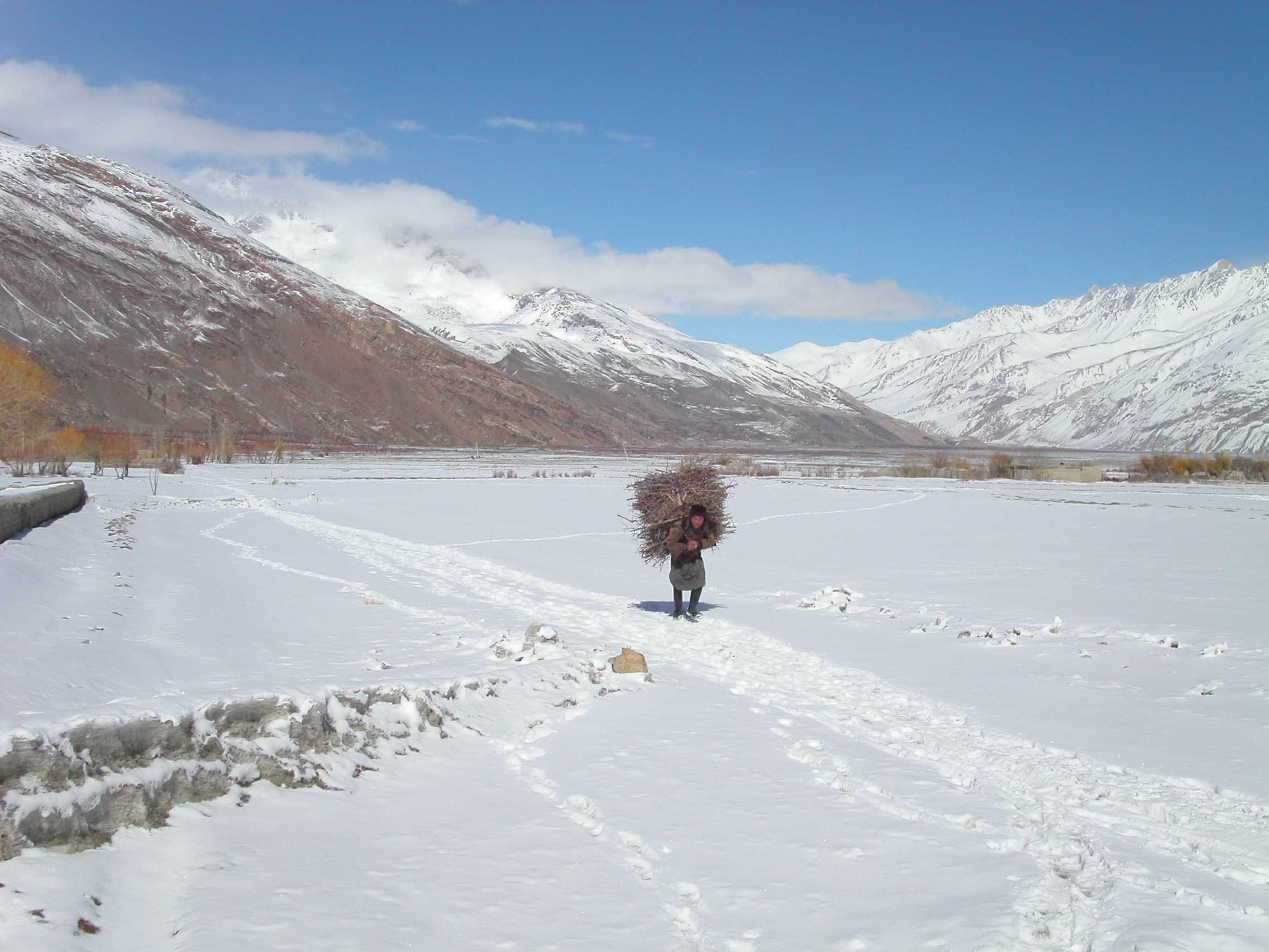
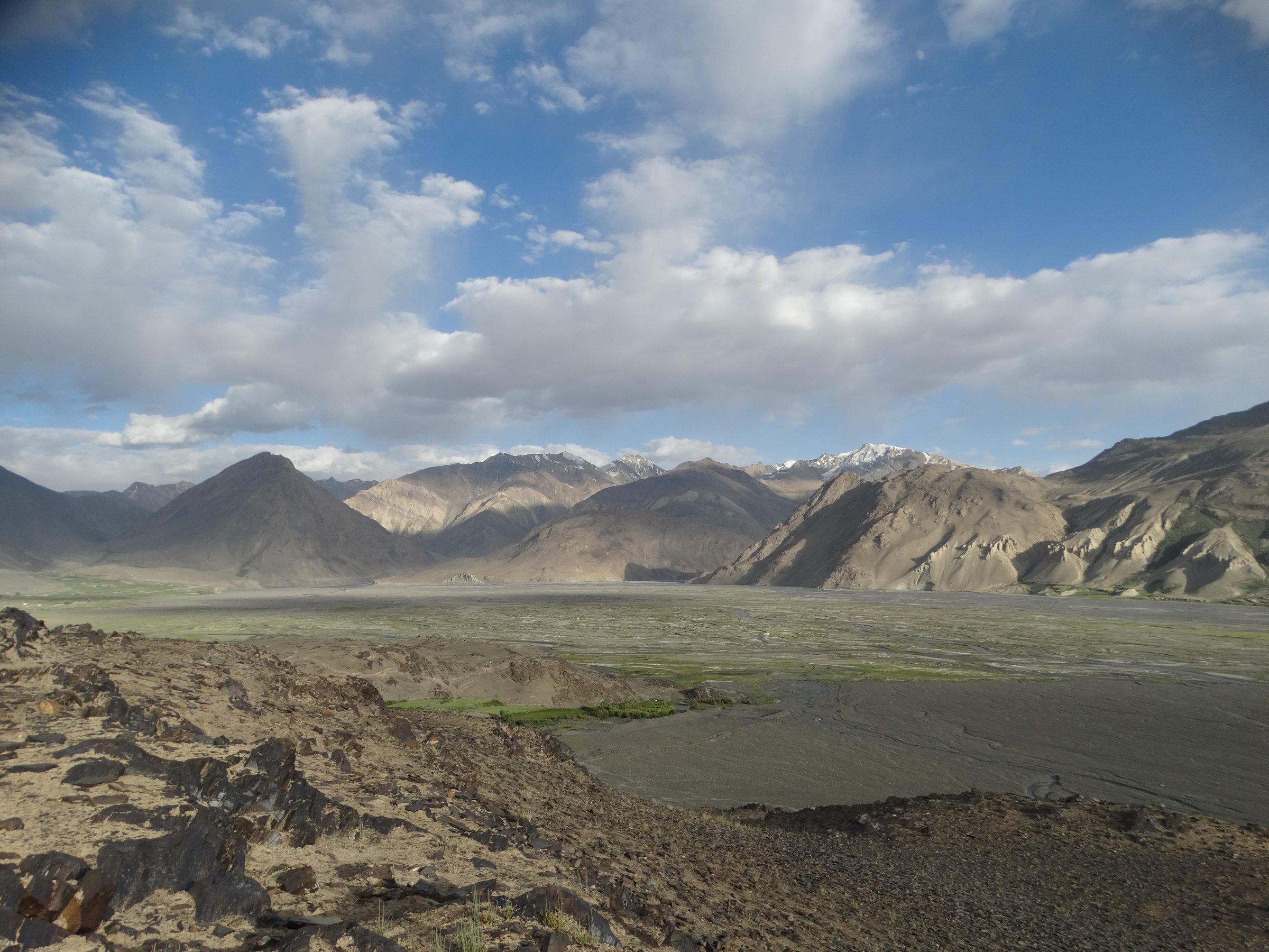
The Wakhan Pamir is a high, remote border landscape where the Tajik Wakhan Valley looks south across the Panj/Pamir rivers to Afghanistan’s Wakhan Corridor, the Hindu Kush, and the Afghan Pamir. Walking ranges from short cultural viewpoint hikes on the Tajik Pamir Highway side to expedition-style one-day sections of the Afghan Pamir Trail extension. The terrain is arid, high, windy, and thinly populated, with village oases, fortress ridges, petroglyph hillsides, river-road corridors, and passes above 4,000 m.
As of 6 June 2026, the Afghan side remains under official “Do Not Travel” advisories from the UK FCDO and US State Department. Tajik GBAO / Pamir travel also requires current permit and security checks, though it is a much more established tourist road corridor than Afghanistan. Border areas are sensitive; do not use informal river crossings or border bridges unless they are officially open and permitted.
Selection rationale
The five hikes balance the accessible Tajik Wakhan classics with Afghan Pamir day sections: Yamchun Fortress and Bibi Fatima, Langar Petroglyphs, Vrang Buddhist Stupa, Pamir Trail Stage 82 from Ouezed into the Afghan Pamir, and Pamir Trail Stage 91 down to Sarhad-e-Broghil. The two Afghan routes are sections of a longer expedition route, not casual village day walks.
Summary table
| # | Hike | Country | Route type | Distance | Gain | Max elevation | Difficulty |
|---|---|---|---|---|---|---|---|
| 1 | Yamchun Fortress and Bibi Fatima Springs | Tajikistan | Out-and-back / road-and-trail ascent | Distance unresolved; short day walk | Approx. 390-400 m from lower village to fortress; extra climb to springs | Approx. 3,120-3,140 m | Moderate |
| 2 | Langar Petroglyphs and Wakhan Viewpoint | Tajikistan | Short out-and-back | short uphill walk | Approx. 150 m above village from secondary source | Approx. 2,950-3,000 m | Moderate |
| 3 | Vrang Buddhist Stupa Viewpoint | Tajikistan | Short out-and-back / Pamir Trail finish variant | Short site walk unresolved; Pamir Trail Stage 79 into Vrang is 10.7 km | Approx. 2,805 m at village/stupa area | Easy-moderate as site walk | |
| 4 | Pamir Trail Stage 82: Ouezed to Ouezed Dara | Afghanistan | Point-to-point day section | 7.7 km from Pamir Trail | 1,125 m ascent / 46 m descent | high camp above Ouezed | Hard at altitude |
| 5 | Pamir Trail Stage 91: Foot Dara Bik Pass to Sarhad-e-Broghil | Afghanistan | Point-to-point day section | 12.7 km from Outdooractive | 349 m ascent; descent unresolved in snippet | Moderate-hard; remote |
1. Yamchun Fortress and Bibi Fatima Springs
Snapshot
Itinerary
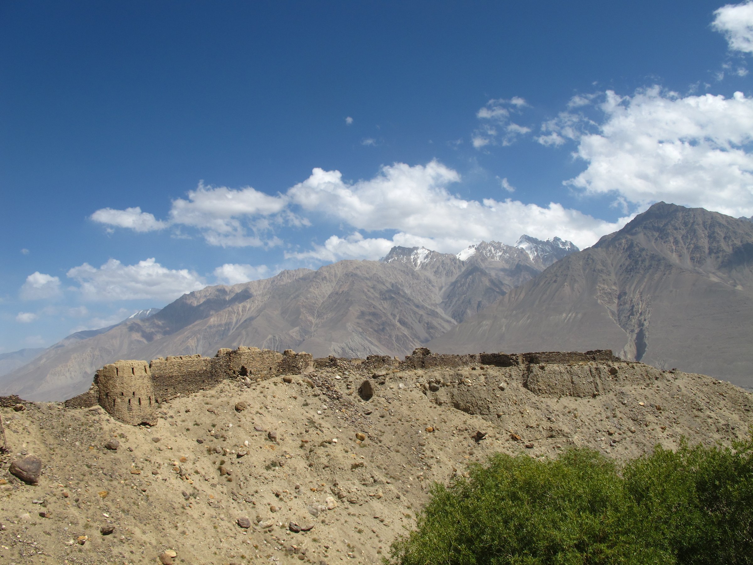
From Yamchun or the lower road, climb the steep local path or road towards Yamchun Fortress, one of the most prominent viewpoints in the Tajik Wakhan. The fort sits above the valley with views across the Panj towards Afghanistan and the Hindu Kush. A short continuation leads towards Bibi Fatima hot springs, described as about 1 km higher than the citadel.
Why it is essential
This is the signature Tajik Wakhan viewpoint: Silk Road fortification, hot springs, village access, and a direct panorama across the Afghan Wakhan.
Equipment
- Walking shoes or boots, water, sun protection.
- Wind layer, modest clothing for village and springs access.
- Headtorch if returning late.
Hazards and notes
- The climb is steep and exposed. Roads and paths can be loose.
- Hot-spring access rules, opening times, gender schedules, and fees should be confirmed locally.
GPX / KML links
| Source | URL | Format / access | Reuse status |
|---|---|---|---|
| OpenStreetMap search: Yamchun Fortress | openstreetmap.org | Map / search | OSM data is ODbL; geometry cross-check only |
| Komoot highlight: Yamchun Fortress | komoot.com | Source map / highlight | Komoot terms apply; source-map context only |
External links
- Nomad’s Land — Yamchun Fortress
- Central Asia Guide — Yamchun Fort
- Journey Beyond Horizon — Guide to the Wakhan Valley in Tajikistan
2. Langar Petroglyphs and Wakhan Viewpoint
Snapshot
Itinerary
From Langar village, climb the steep slope above the settlement to the petroglyph slabs and viewpoint. Central Asia Guide and Lonely Planet both describe thousands of petroglyphs above Langar, and the viewpoint gives a broad look across the upper Wakhan where the Wakhan and Pamir rivers meet to form the Panj.
Why it is essential
Langar combines one of the most important cultural sites in the Tajik Wakhan with a short, physical viewpoint walk over the Afghan border valley and high mountains.
Equipment
- Shoes with grip, water, sun protection, wind layer.
- Care around fragile rock surfaces.
- Do not touch, scratch, or mark petroglyphs.
Hazards and notes
- The slope is steep and loose.
- The petroglyphs are vulnerable and in places affected by graffiti; stay on existing approaches and avoid damaging rock panels.
GPX / KML links
| Source | URL | Format / access | Reuse status |
|---|---|---|---|
| OpenStreetMap search: Langar petroglyphs Tajikistan | openstreetmap.org | Map / search | OSM data is ODbL; geometry cross-check only |
| Wikiloc search: Langar Wakhan | wikiloc.com | User route database / search | Wikiloc terms apply; candidate route-file source only |
External links
- Central Asia Guide — Langar
- Lonely Planet — Langar Petroglyphs
- Nomad’s Land — Langar village
- Globe Spots — Tajikistan guide
3. Vrang Buddhist Stupa Viewpoint
Snapshot
Itinerary
From Vrang village, climb the hill behind the settlement to the Buddhist stupa and cave/monastery remains. Travel to Tajikistan places the Buddhist temple in Vrang at 2,805 m and describes it as a convenient viewpoint over the Wakhan scenery. Pamir Trail Stage 79 finishes in Vrang and notes the views across the Hindu Kush from the stupa.
Why it is essential
Vrang adds the Wakhan’s Buddhist and Silk Road history to the region’s day-hike selection, with a short ascent to a viewpoint directly facing Afghanistan.
Equipment
- Walking shoes, water, sun protection.
- Wind layer.
- Respect for archaeological remains.
Hazards and notes
- The site is fragile. Avoid climbing on masonry, entering unsafe cavities, or disturbing shrine objects.
- GBAO permit and current security checks may apply for the wider region.
GPX / KML links
| Source | URL | Format / access | Reuse status |
|---|---|---|---|
| Outdooractive: Pamir Trail Stage 79 Vnukut Valley - Vrang | outdooractive.com | Source route with map | Outdooractive terms apply; not necessarily reusable |
| OpenStreetMap search: Vrang Stupa | openstreetmap.org | Map / search | OSM data is ODbL; geometry cross-check only |
External links
- Central Asia Guide — Vrang
- Travel to Tajikistan — Buddhist Temple, Vrang Village
- Outdooractive — Pamir Trail Stage 79
4. Pamir Trail Stage 82: Ouezed to Ouezed Dara
Snapshot
Itinerary
This is the first short but steep Afghan Pamir stage listed on the Pamir Trail extension. From Ouezed, the route climbs up Ouezed Dara on a clear trail according to Pamir Trail beta, gaining over 1,100 m in only 7.7 km. It is a day section of a multi-day expedition rather than a standalone tourist loop.
Why it is essential
Ouezed to Ouezed Dara is the most compact published Afghan Pamir day section: a direct ascent from Wakhi settlement country into high side-valley terrain.
Equipment
- Full expedition trekking kit: boots, warm layers, waterproof/windproof shell.
- Sun protection, water treatment, food, headtorch.
- Sleeping/emergency kit if part of a trek, satellite communications.
- Local guide/animal support as appropriate.
Hazards and notes
- Afghan-side travel requires current permits, security clearance, local guides, and expedition support.
- Altitude gain is serious.
- This is not a casual day hike from a road-accessible tourist base.
GPX / KML links
| Source | URL | Format / access | Reuse status |
|---|---|---|---|
| Pamir Trail: Stage 82 Ouezed - Ouezed Dara listing | pamirtrail.org | Stage data / source map links | Pamir Trail and Outdooractive terms apply; statistics verified; route geometry reuse not cleared |
| OpenStreetMap search: Ouezed Wakhan | openstreetmap.org | Map / search | OSM data is ODbL; geometry cross-check only |
External links
- Pamir Trail — The Trail / Afghan Pamirs extension
- Outdooractive — Pamir Trail Complete / partner source
- UK FCDO — Afghanistan travel advice
5. Pamir Trail Stage 91: Foot Dara Bik Pass to Sarhad-e-Broghil
Snapshot
Itinerary
Outdooractive’s Pamir Trail Stage 91 descends from the foot of Dara Bik Pass towards Sarhad-e-Broghil, with a final river crossing before reaching the village. The stage is a one-day section of the Afghan Pamir extension, suitable only within a guided expedition or well-supported traverse.
Why it is essential
Sarhad-e-Broghil is the classic road-end gateway to the Afghan Pamir. This stage gives the catalogue a published day section that finishes at the region’s most important trekking settlement.
Equipment
- Full expedition trekking kit, including warm layers, waterproof/windproof shell.
- Sun protection, map/GPS, satellite communications.
- Water treatment, food, headtorch, emergency shelter.
Hazards and notes
- River crossings, isolation, altitude, weather, and Afghan-side security dominate the risk profile.
- The route geometry should not be reused without checking Outdooractive/Pamir Trail terms and current field accuracy.
GPX / KML links
| Source | URL | Format / access | Reuse status |
|---|---|---|---|
| Outdooractive: Pamir Trail Stage 91 Foot Dara Bik Pass - Sarhad-e-Broghil | outdooractive.com | Source route with map | Outdooractive terms apply; reuse not cleared |
| Pamir Trail: Afghan Pamirs extension | pamirtrail.org | Stage list / source route | Pamir Trail and Outdooractive terms apply; statistics and route context verified |
| OpenStreetMap search: Sarhad-e-Broghil | openstreetmap.org | Map / search | OSM data is ODbL; geometry cross-check only |
External links
- Outdooractive — Pamir Trail Stage 91
- Pamir Trail — The Trail / Afghan Pamirs extension
- Juldu — Wakhan and Pamir trekking guide
- Wakhan Adventure brochure (PDF)
External links
| Source | URL |
|---|---|
| Nomad’s Land — Yamchun Fortress | nomadsland.travel |
| Nomad’s Land — Langar village | nomadsland.travel |
| Central Asia Guide — Yamchun Fort | central-asia.guide |
| Central Asia Guide — Langar | central-asia.guide |
| Central Asia Guide — Vrang | central-asia.guide |
| Journey Beyond Horizon — Guide to the Wakhan Valley in Tajikistan | journeybeyondhorizon.com |
| Lonely Planet — Langar Petroglyphs | lonelyplanet.com |
| Globe Spots — Tajikistan guide | globespots.com |
| Travel to Tajikistan — Buddhist Temple, Vrang Village | traveltajikistan.tj |
| Outdooractive — Pamir Trail Stage 79 Vnukut Valley - Vrang | outdooractive.com |
| Outdooractive — Pamir Trail Stage 91 Foot Dara Bik Pass - Sarhad-e-Broghil | outdooractive.com |
| Outdooractive — Pamir Trail Complete / partner source | outdooractive.com |
| Pamir Trail — The Trail / Afghan Pamirs extension | pamirtrail.org |
| Juldu — Wakhan and Pamir trekking guide | juldu.com |
| Wakhan Adventure brochure (PDF) | wakhan-adventure.com |
| Komoot — Yamchun Fortress highlight | komoot.com |
| Wikiloc — Langar Wakhan search | wikiloc.com |
| UK FCDO — Afghanistan travel advice | gov.uk |