Regional overview
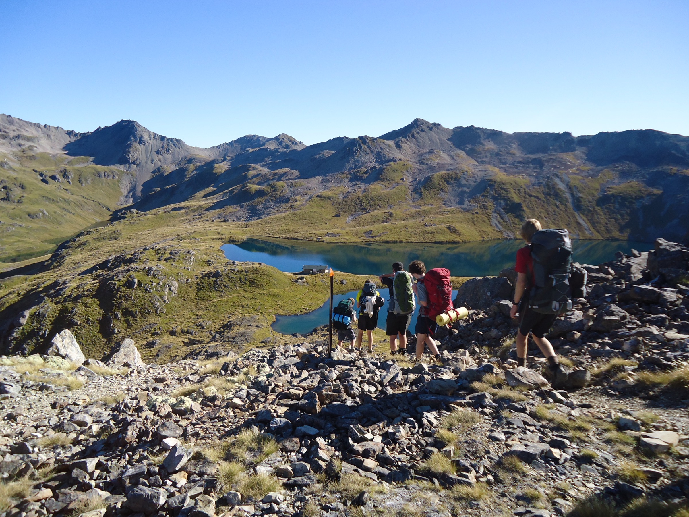
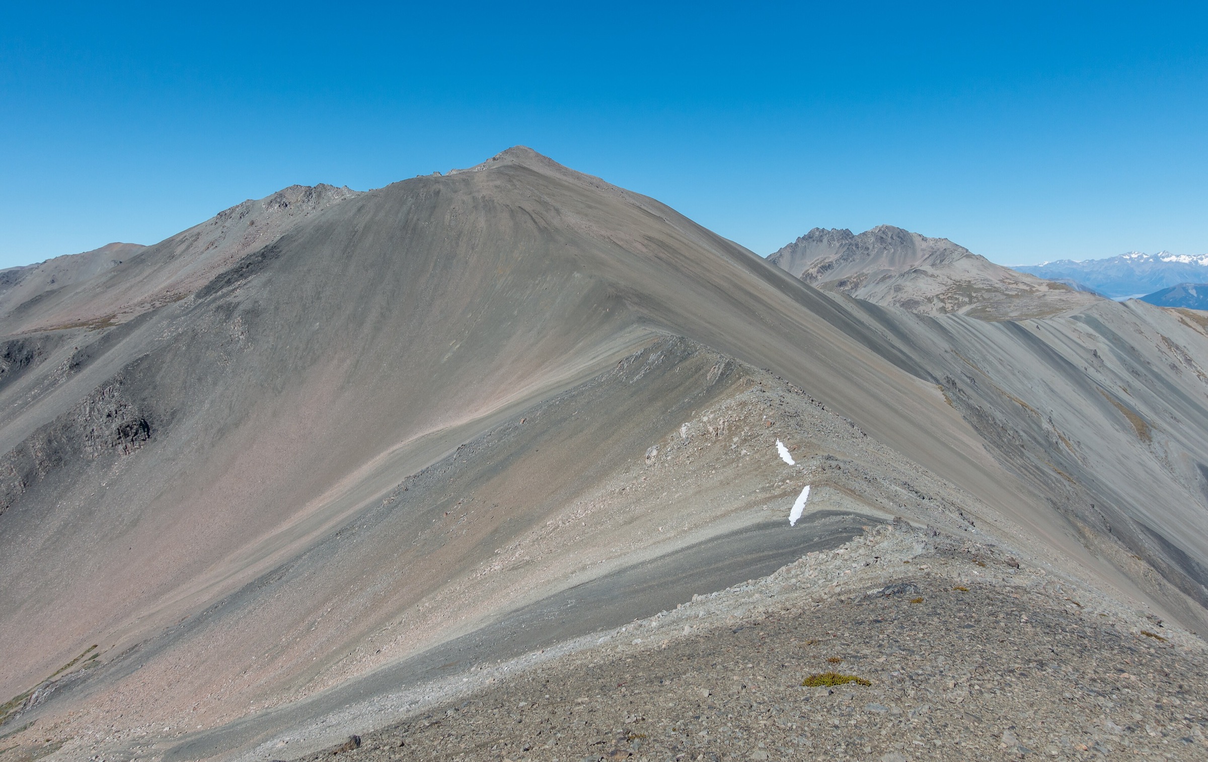
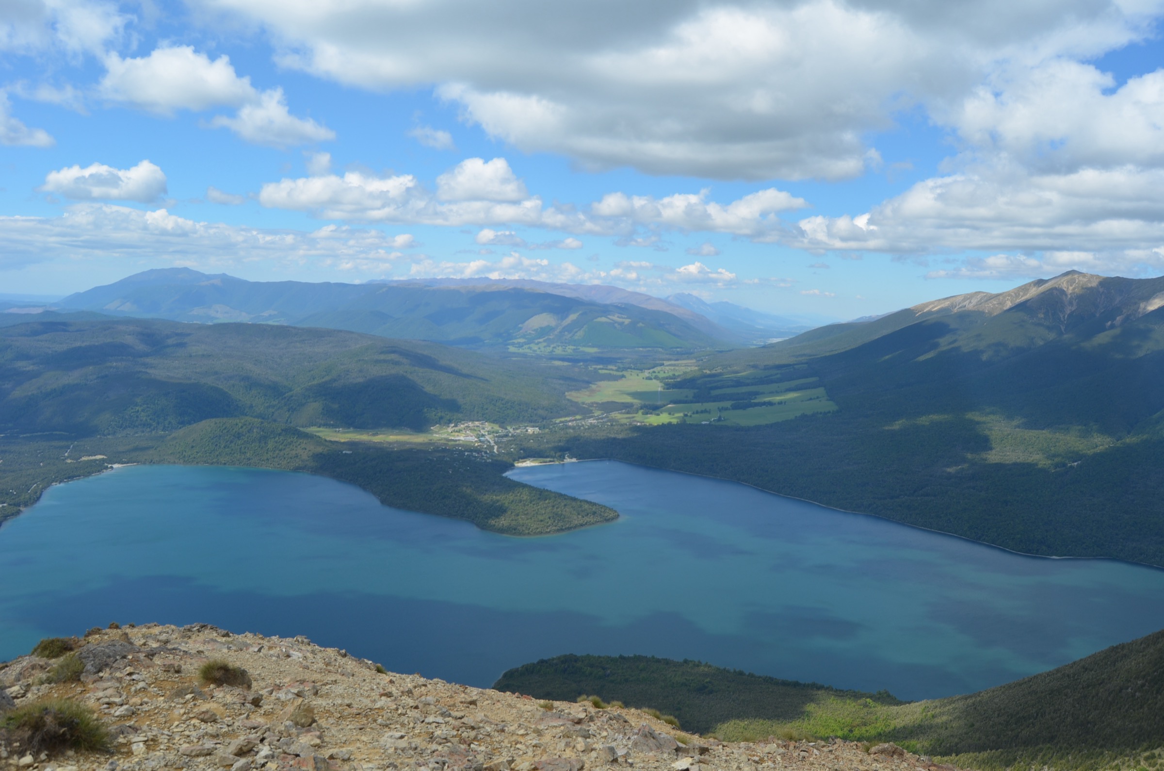
The Upper Travers Valley is the classic Nelson Lakes valley-tramp: a beech-forest corridor rising from Lake Rotoiti through the Travers flats, into the tussock and scree of the upper valley, and finally to the alpine hut country under Mount Travers. It is the western spine of the Travers–Sabine Circuit, and the day-segments between its huts are the essential building blocks of Nelson Lakes tramping.
DOC describes the valley routes as tramping-standard tracks — waymarked, well-benched in the forest, and rougher on the upper flats — with backcountry huts at day-sized intervals. Weather is Southern-Alps-in-miniature: the valley traps north-westerlies, side creeks rise fast after rain, and the alpine sections above John Tait Hut can hold snow well into November.
Access is by private vehicle to Kerr Bay or West Bay in St Arnaud, with water taxis operating on Lake Rotoiti to Lakehead Hut and Coldwater Hut. The upper valley huts (John Tait, Upper Travers, Hopeless) sit deep in the park and are reached only on foot.
Selection rationale
These five hikes cover the Upper Travers walking character across its full length. Kerr Bay to Lakehead Hut is the standard first-day gateway from St Arnaud. The Lakeside Track to Whisky Falls and Coldwater Hut is the same gateway on the opposite shore. Lakehead or Coldwater Hut to John Tait Hut is the essential middle-valley day. John Tait to Upper Travers via Travers Falls is the alpine-transition day under Mount Travers. Hopeless Creek to Hopeless Hut is the essential side-valley day-trip from a Travers base.
Summary table
| # | Hike | Country | Route type | Distance (DOC) | Approx. gain | Max elevation | Difficulty |
|---|---|---|---|---|---|---|---|
| 1 | Kerr Bay to Lakehead Hut via Lakehead Track | New Zealand | One-way / return | ~10 km | ~100 m | ~640 m | Moderate |
| 2 | Lakeside Track to Whisky Falls / Coldwater Hut | New Zealand | Out-and-back | ~8–14 km | ~100 m | ~640 m | Moderate |
| 3 | Lakehead / Coldwater to John Tait Hut | New Zealand | One-way (valley day) | ~14 km | ~250 m | ~830 m | Moderate |
| 4 | John Tait Hut to Upper Travers Hut via Travers Falls | New Zealand | One-way (valley day) | ~9 km | ~450 m | ~1,280 m | Moderate |
| 5 | Hopeless Creek to Hopeless Hut | New Zealand | Out-and-back side trip | ~6 km | ~500 m | ~1,100 m | Moderate |
Before you go
Permits and access
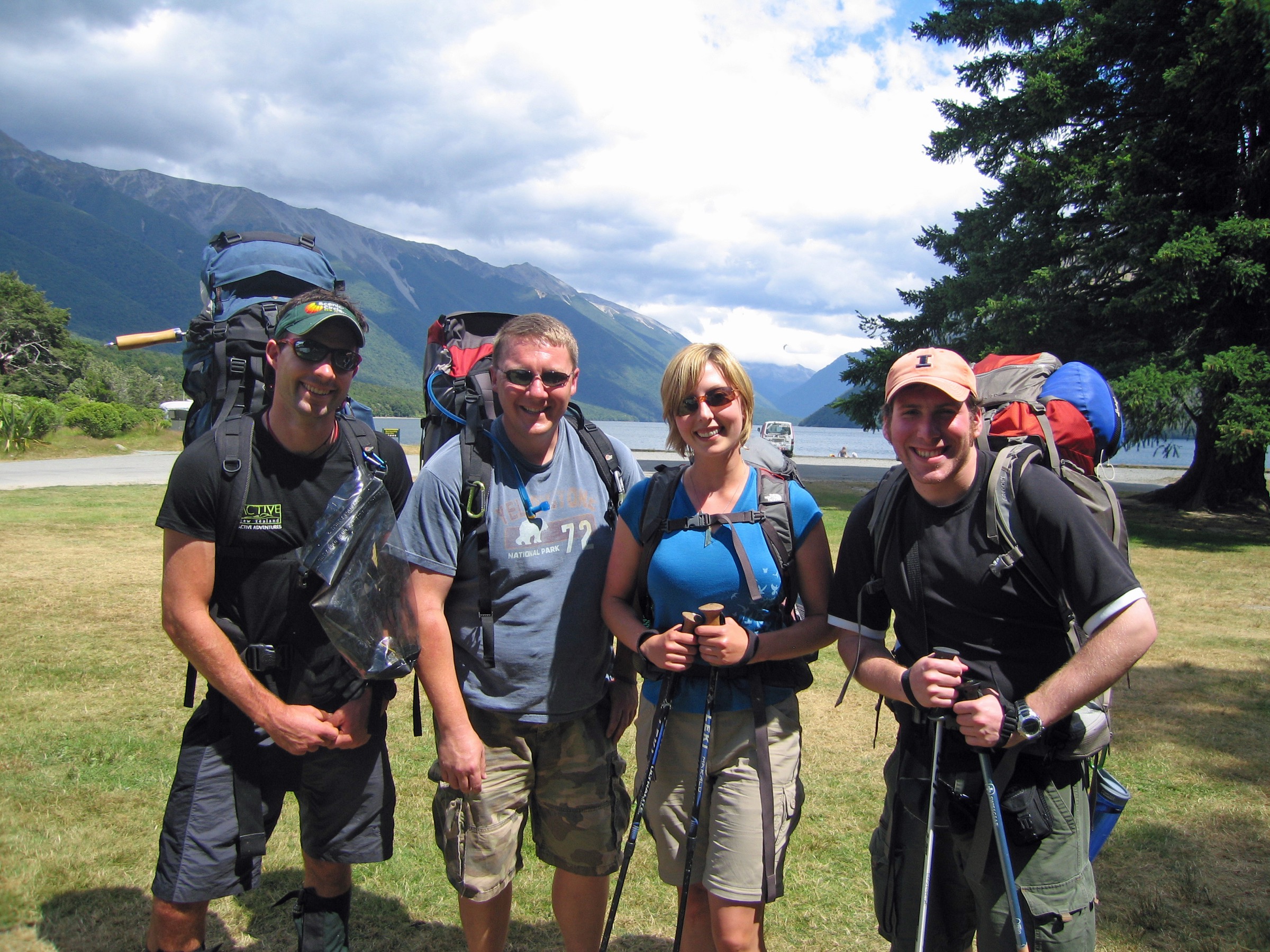
All five routes lie inside Nelson Lakes National Park, managed by DOC. Backcountry hut fees apply at Lakehead, Coldwater, John Tait, Upper Travers and Hopeless — carry hut tickets or a Backcountry Hut Pass. Water taxis on Lake Rotoiti are commercial operators; check current timetables and book in advance for summer. DOC does not permit dogs in the park. Intentions should be logged with a trusted contact and the DOC visitor centre in St Arnaud.
Standard Upper Travers day-hiking kit
For the valley days and short alpine transitions, carry:
- Standard tramping kit: boots with grip, waterproof/windproof shell, warm layers, hat and gloves, food for the day, water and treatment, map and compass with GPS backup.
- Headtorch with spare batteries; the middle-valley days can finish in low light even in summer.
- Personal locator beacon (PLB) — mobile coverage above the lake is unreliable.
- Sandflies are constant on the flats and around every hut; carry repellent and a head net if sensitive.
- Ice-axe and micro-spikes if attempting Travers Saddle or Hopeless in shoulder season.
Common hazards
DOC notes side creeks rising rapidly after rain across all valley crossings. The Travers River itself can be uncrossable when in flood, isolating parties at John Tait and Upper Travers. Windfall closes sections of the forest track after major storms. Wasps in beech honeydew forest are aggressive in late summer. Above John Tait Hut, weather deteriorates fast and hut-to-hut travel should not be attempted in poor visibility without prior experience of the ground.
1. Kerr Bay to Lakehead Hut via Lakehead Track
Snapshot
Itinerary
From Kerr Bay, follow the Lakehead Track along the east shore of Lake Rotoiti through beech forest and along tussock flats to the Lakehead Hut on the Travers River delta. Return by the same track or catch the water taxi from the Lakehead wharf back to Kerr Bay.
Why it is essential
This is the classic Travers first day: it delivers most parties their first proper look up the Travers valley and sets them up cleanly for the middle-valley day to John Tait.
Hazards and notes
- Long day in kilometres; not technical but easy to mis-time in short winter days.
- Watch for windfall and side creeks running high after rain.
- Sandflies build up at the Lakehead Hut through summer — repellent is not optional.
GPX / KML links
| Source | URL | Format | Notes |
|---|---|---|---|
| DOC Lakehead Track | doc.govt.nz | Official track page | DOC website terms |
| DOC Lakehead Hut | doc.govt.nz | Official hut page | DOC website terms |
| OpenStreetMap: Lake Rotoiti | openstreetmap.org | OSM area | ODbL; attribution required |
Further reading
2. Lakeside Track to Whisky Falls and Coldwater Hut
Snapshot
Itinerary
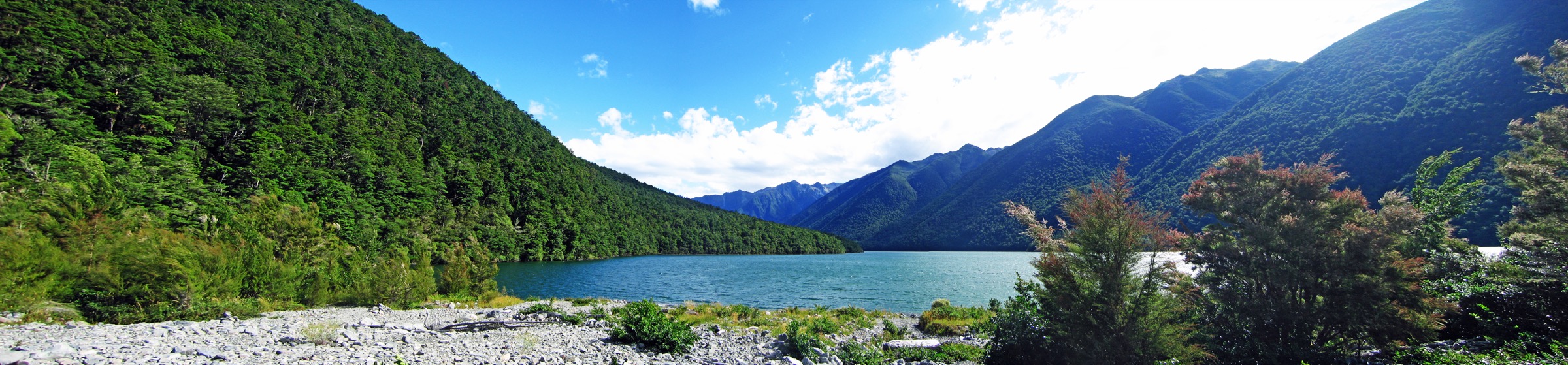
From West Bay, follow the Lakeside Track along the west shore of Lake Rotoiti through beech forest to Whisky Falls (short-day turnaround), and on around the lakehead to Coldwater Hut at the far end. Return by the same track or catch the water taxi from Coldwater.
Why it is essential
The Lakeside Track is the quieter Travers gateway: fewer parties than the east-shore Lakehead line, a genuine waterfall en route, and the option to break the day at Whisky Falls or push through to Coldwater Hut for a lunch stop with a lake view up the valley.
Hazards and notes
- Windfall on the west shore is significant after major storms.
- The Coldwater wharf is exposed to lake wind; time the water taxi with the operator’s advice.
- Sandflies at Coldwater are among the worst on the lake.
GPX / KML links
| Source | URL | Format | Notes |
|---|---|---|---|
| DOC Lakeside Track | doc.govt.nz | Official track page | DOC website terms |
| DOC Coldwater Hut | doc.govt.nz | Official hut page | DOC website terms |
| OpenStreetMap: Lake Rotoiti | openstreetmap.org | OSM area | ODbL; attribution required |
Further reading
3. Lakehead or Coldwater Hut to John Tait Hut
Snapshot
Itinerary
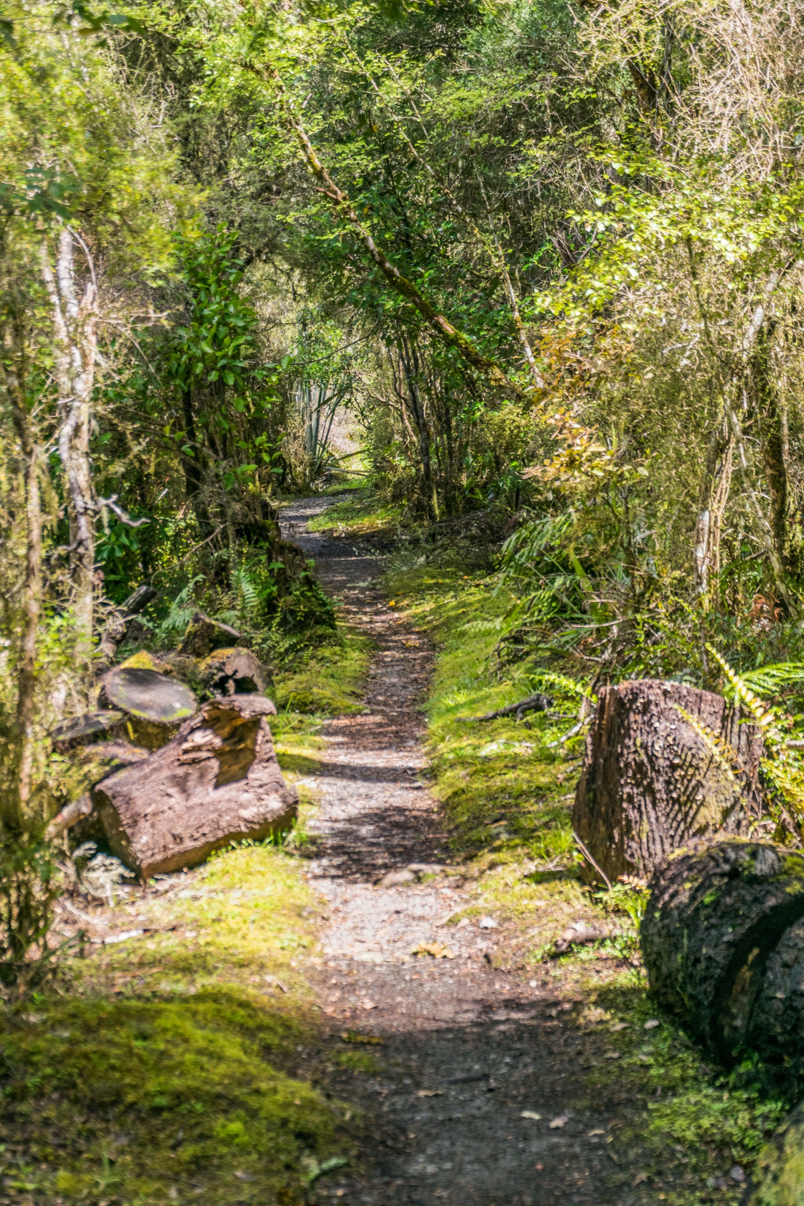
From either Lakehead or Coldwater Hut, join the valley track that follows the true right of the Travers River. The track climbs gently through beech forest with regular openings onto grassy flats, crosses side creeks (bridged in the main branches), and rises steadily to John Tait Hut in the middle valley.
Why it is essential
This is the essential middle-Travers day: it moves parties out of the lake country and into the valley proper, and delivers them to a well-placed hut for the alpine-transition day above.
Hazards and notes
- Side creeks rise fast after rain; the main Travers is bridged near John Tait but earlier tributaries can be difficult in flood.
- Windfall in beech forest closes sections after major storms.
- Wasps in late summer; keep food sealed at the hut.
GPX / KML links
| Source | URL | Format | Notes |
|---|---|---|---|
| DOC John Tait Hut | doc.govt.nz | Official hut page | DOC website terms |
| DOC Travers–Sabine Circuit | doc.govt.nz | Official circuit page | DOC website terms |
| OpenStreetMap: Travers Valley | openstreetmap.org | OSM area | ODbL; attribution required |
Further reading
4. John Tait Hut to Upper Travers Hut via Travers Falls
Snapshot
Itinerary
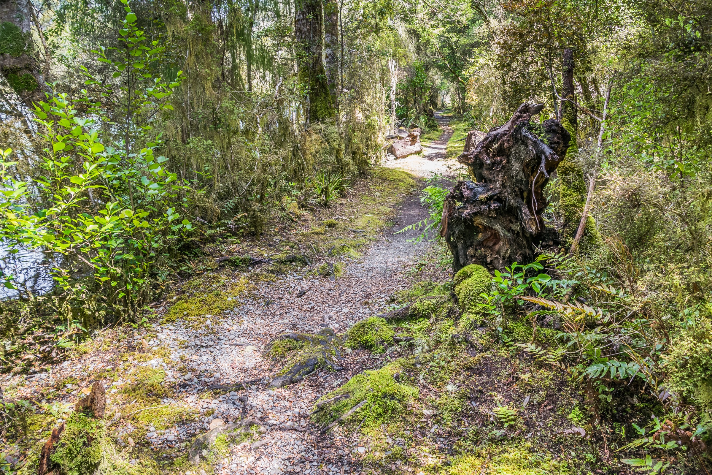
From John Tait Hut, continue up the valley on the true right of the Travers, pass the signed spur to Travers Falls (a worthwhile short detour to the plunge pool), and climb steadily as the beech thins and the track opens onto the upper flats. Upper Travers Hut sits on the true left near the head of the valley under Mount Travers.
Why it is essential
This is the essential alpine-transition day of the Travers–Sabine: short by kilometres, but it moves parties out of the bush and into the tussock and scree that define the head of the valley — and it stages the Travers Saddle crossing for the following morning.
Hazards and notes
- Weather deteriorates quickly above the treeline; carry full alpine layers even in high summer.
- The Travers Falls detour is short but the descent to the pool is slippery when wet.
- Upper Travers Hut fills fast in summer; parties should not rely on hut space.
GPX / KML links
| Source | URL | Format | Notes |
|---|---|---|---|
| DOC Upper Travers Hut | doc.govt.nz | Official hut page | DOC website terms |
| DOC Travers–Sabine Circuit | doc.govt.nz | Official circuit page | DOC website terms |
| OpenStreetMap: Upper Travers | openstreetmap.org | OSM area | ODbL; attribution required |
Further reading
5. Hopeless Creek to Hopeless Hut
Snapshot
Itinerary
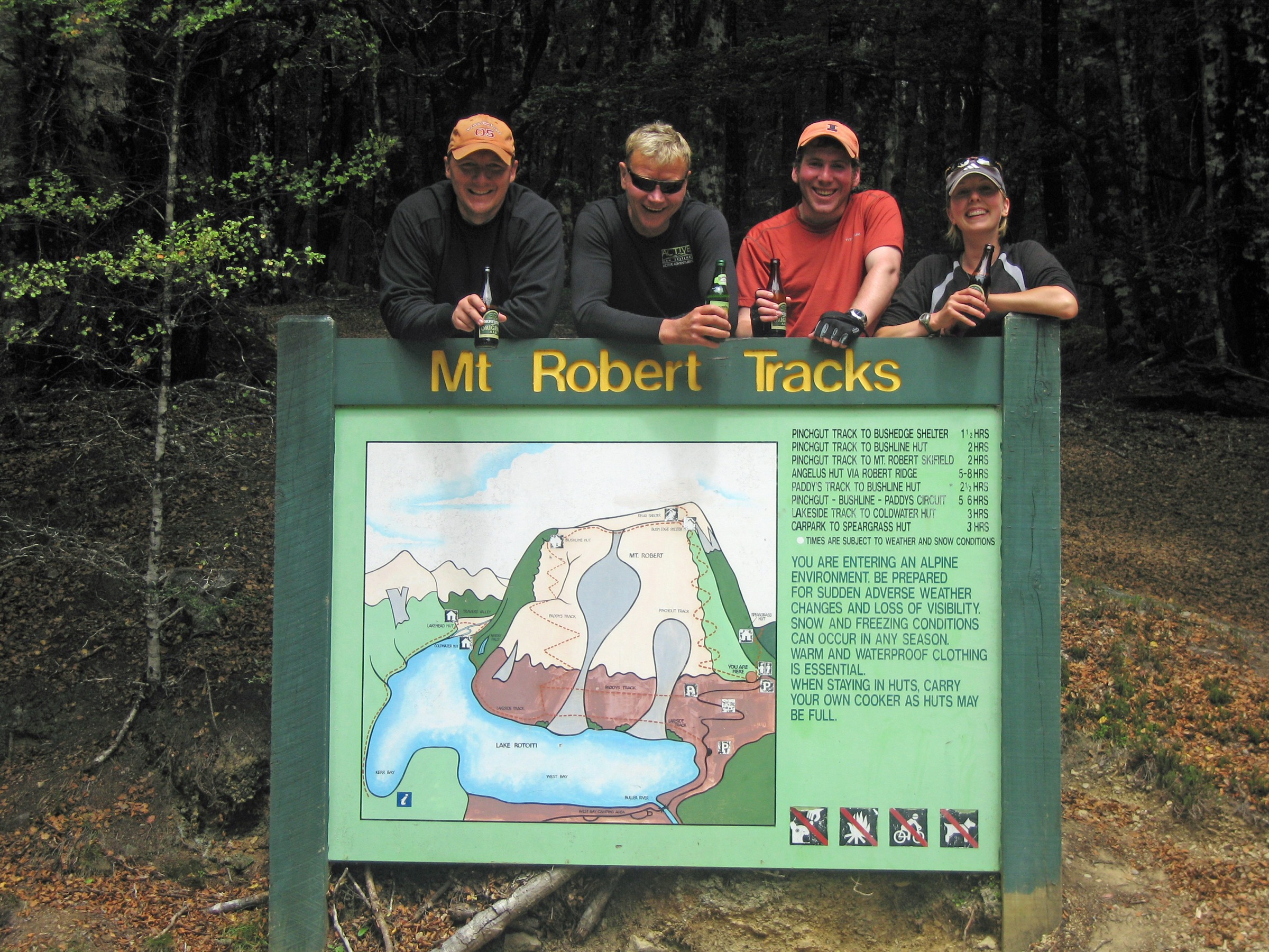
From the Hopeless Creek junction on the Travers valley track, cross Hopeless Creek at the marked ford (or bridge where present) and climb the true right of the creek through beech forest into the Hopeless basin. Hopeless Hut sits on tussock terraces below the tarns. Return by the same route.
Why it is essential
Hopeless Hut is the essential Travers side-trip: it delivers a genuinely alpine basin in a single day from a valley base, without committing to a saddle crossing, and it is one of the quietest huts in the park.
Hazards and notes
- Hopeless Creek can be uncrossable after rain; do not force the ford.
- The side-track is steeper and rougher than the main valley; carry poles if descending in wet conditions.
- Weather in the basin turns quickly; keep alpine layers accessible.
GPX / KML links
| Source | URL | Format | Notes |
|---|---|---|---|
| DOC Hopeless Hut | doc.govt.nz | Official hut page | DOC website terms |
| DOC Nelson Lakes National Park | doc.govt.nz | Official park page | Context source |
| OpenStreetMap: Hopeless Creek | openstreetmap.org | OSM area | ODbL; attribution required |
Further reading
Further reading
| Source | URL |
|---|---|
| DOC Nelson Lakes National Park | doc.govt.nz |
| DOC Travers–Sabine Circuit | doc.govt.nz |
| DOC Lakehead Track | doc.govt.nz |
| DOC Lakeside Track | doc.govt.nz |
| DOC Lakehead Hut | doc.govt.nz |
| DOC Coldwater Hut | doc.govt.nz |
| DOC John Tait Hut | doc.govt.nz |
| DOC Upper Travers Hut | doc.govt.nz |
| DOC Hopeless Hut | doc.govt.nz |
| Wikipedia — Nelson Lakes National Park | en.wikipedia.org |
| Wikipedia — Travers River | en.wikipedia.org |