Regional overview
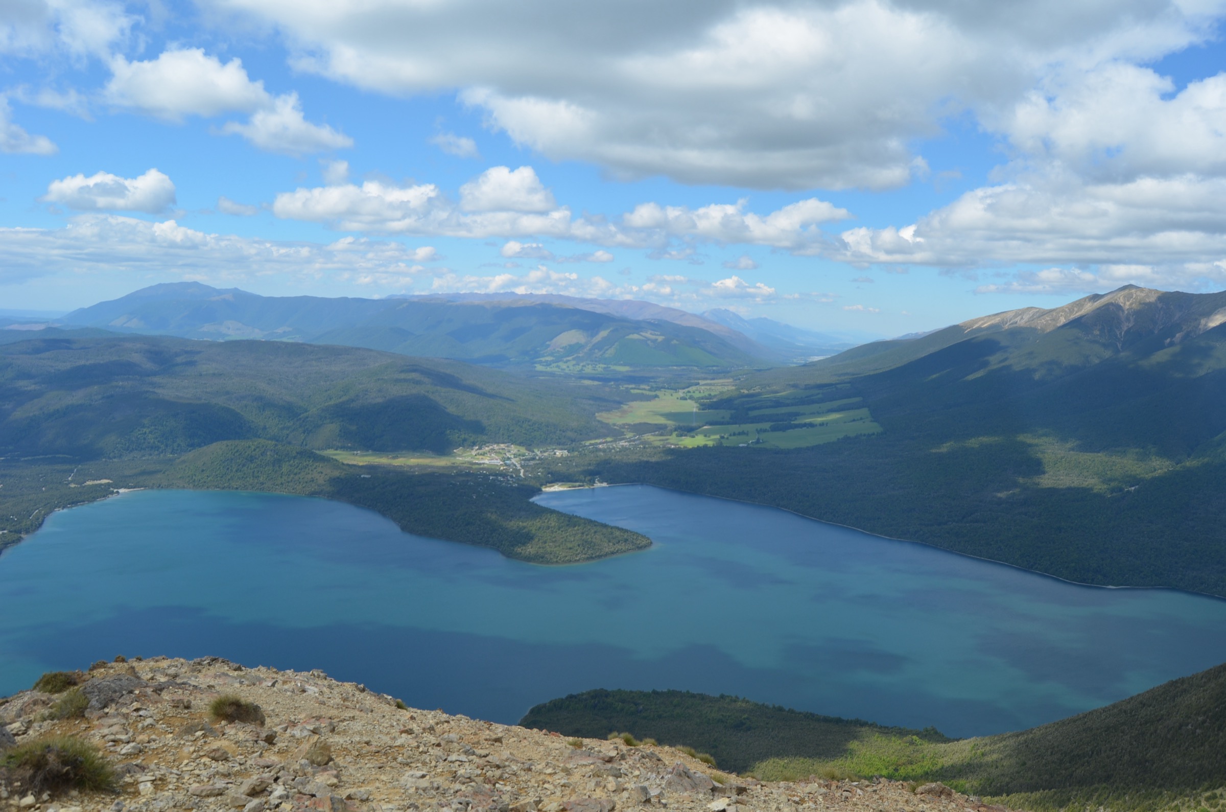
The southern end of the Travers Range is the Lake Rotoiti / Angelus side of the Travers system: Mount Robert and Robert Ridge above West Bay, the Speargrass Creek approach, the Hukere Stream climb out of the Travers valley, and the steep Mount Cedric route from Sabine Hut. All four hut approaches converge on the Lake Angelus basin, and none of them are casual walks — DOC classes every Angelus route as demanding, with snow, ice, avalanche, sub-zero temperatures, and rapid weather change all normal risks outside high summer.
Access is from State Highway 63 at St Arnaud. Mount Robert Road serves the Robert Ridge, Speargrass, and Mount Robert Circuit trailheads; the Hukere route starts from the head of Lake Rotoiti after a lake taxi or the Lakehead Track; Sabine Hut is a Sabine-valley walk-in from Lake Rotoroa or the West Sabine side. Angelus Hut requires a booking year-round.
Selection rationale
The Mount Robert Circuit is the compact roadside ridge loop that introduces the range without committing to Angelus. The other four are the DOC-verified Angelus approaches from the south, east, and west — Robert Ridge as the classic fine-weather route, Speargrass as the sheltered bad-weather alternative, Travers-Cascade via Hukere as the steep forest-to-tarn route, and Mount Cedric as the steepest southern climb. The neighbouring St Arnaud Range walks are catalogued in their own Mount Robert Area entry and are excluded here.
Summary table
| # | Hike | Country | Route type | Distance | Approx. gain | Difficulty |
|---|---|---|---|---|---|---|
| 1 | Mount Robert Circuit | New Zealand | Loop | ~8.9–9 km | ~642 m | Hard |
| 2 | Robert Ridge Route to Angelus Hut | New Zealand | One-way, hut-based | ~11.5–12.2 km | ~1,059–1,472 m cumulative | Hard / expert |
| 3 | Speargrass Creek Route to Angelus Hut | New Zealand | One-way, hut-based | ~11.2 km | ~1,080 m cumulative | Hard |
| 4 | Travers-Cascade Route via Hukere Stream | New Zealand | One-way, hut-based | ~9.4–10.1 km | ~1,124 m | Hard / expert |
| 5 | Mount Cedric Route from Sabine Hut | New Zealand | One-way, hut-based | ~6.8–7 km | ~1,474 m | Hard |
Before you go
Permits and access
All five routes lie inside Nelson Lakes National Park, managed by DOC. Angelus Hut is bookable year-round through DOC and is required for any overnight stay; day-only travellers do not book but should still check current alerts. The Mount Robert Road gate can be closed by ice or snow; DOC has closed it for extended periods in past seasons. Opportunistic vehicle theft is a documented issue at the Mount Robert Carpark — leave nothing visible in the vehicle.
Standard southern Travers day-hiking kit
The Angelus approaches are alpine days, not summer walks. Carry:
- Full mountain kit: boots with grip, waterproof/windproof shell, warm insulating layer, hat and gloves, food, water and treatment, map and compass with GPS backup.
- Personal locator beacon (PLB); mobile coverage is limited to unreliable on Robert Ridge and absent in the Sabine valley.
- Sun protection, headtorch, first aid, and — for shoulder-season crossings — an ice axe and instep crampons if snow patches are likely on the ridge or in the Hukere climb.
- Booking confirmation for Angelus Hut if extending to a night, and cash or ticket cover for Sabine Hut on a linkage from the Cedric side.
Common hazards
DOC warns that Robert Ridge is fully exposed to sudden weather change, high wind, icy rock, and poor visibility. Speargrass, Hukere, and Sabine crossings can flood after rain or snowmelt. The bridge over Hukere Stream is often removed from May to November for avalanche protection; travel is not recommended in that window without direct DOC confirmation. Mount Cedric is very steep, waterless above the bushline, and prone to hard ice in shoulder seasons.
1. Mount Robert Circuit
Snapshot
Itinerary
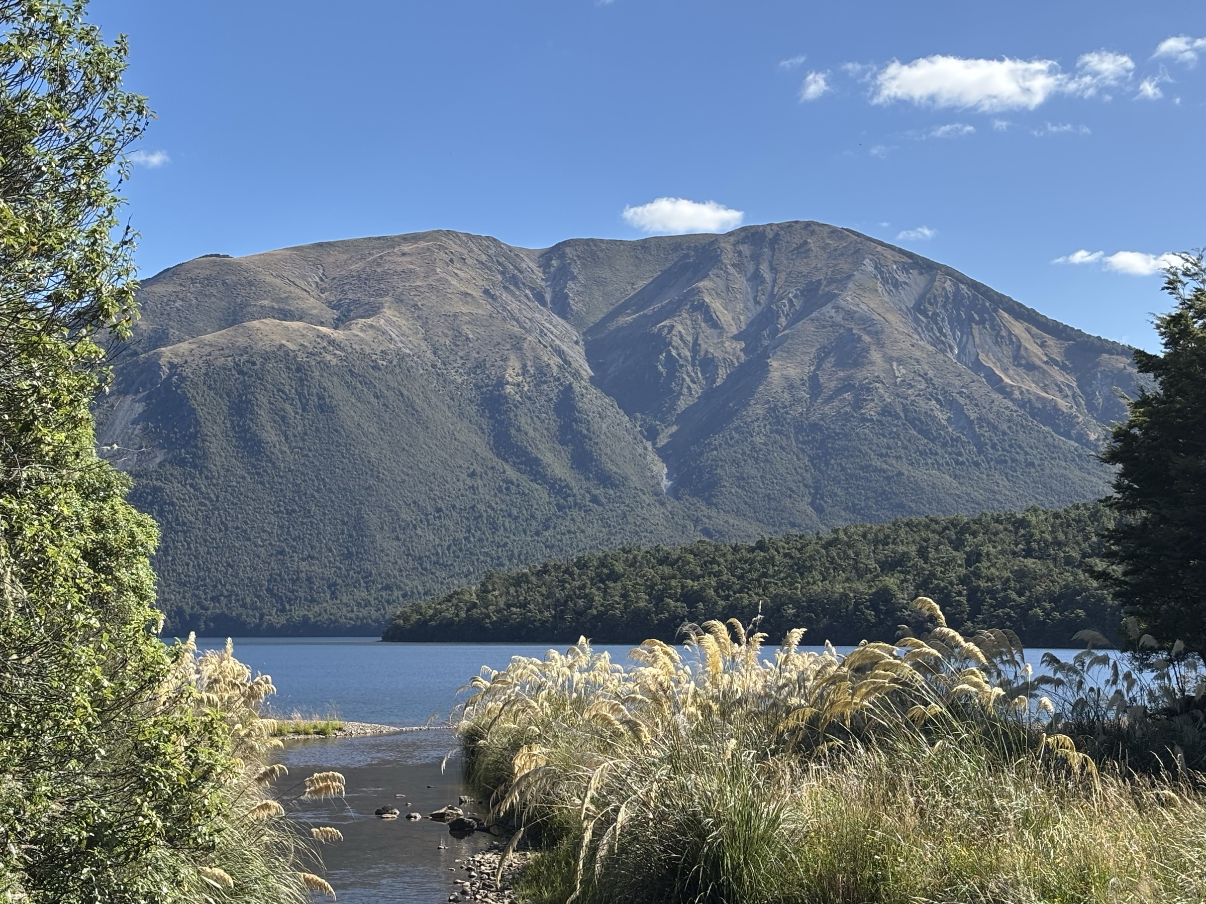
From the Mount Robert Carpark, climb the Pinchgut Track’s switchbacks up the northern face of Pourangahau / Mount Robert to the ridge, then descend Paddy’s Track along the longer, easier gradient back to the carpark. Reversing the direction is common. DOC highlights the historical erosion and fire context of the Mount Robert slopes and the sustained views over Lake Rotoiti.
Why it is essential
The circuit is the most accessible southern Travers Range day: a compact loop, big Lake Rotoiti views, and the same ridge system that continues south into the Angelus approaches.
Hazards and notes
- Exposure to wind and weather on the open ridge; sudden southerlies are normal.
- Icy road conditions can close the Mount Robert Road gate.
- Sandflies and wasps are common in season along the beech forest sections.
GPX / KML links
| Source | URL | Format | Notes |
|---|---|---|---|
| DOC Mount Robert Circuit | doc.govt.nz | Official track page | DOC website terms |
| DOC Nelson Lakes walks brochure | doc.govt.nz PDF | Official brochure | DOC website terms |
| AllTrails cross-check | alltrails.com | Third-party map | Do not redistribute AllTrails GPX without licence confirmation |
| OpenStreetMap: Mount Robert area | openstreetmap.org | OSM area | ODbL; attribution required |
Further reading
2. Robert Ridge Route to Angelus Hut
Snapshot
Itinerary
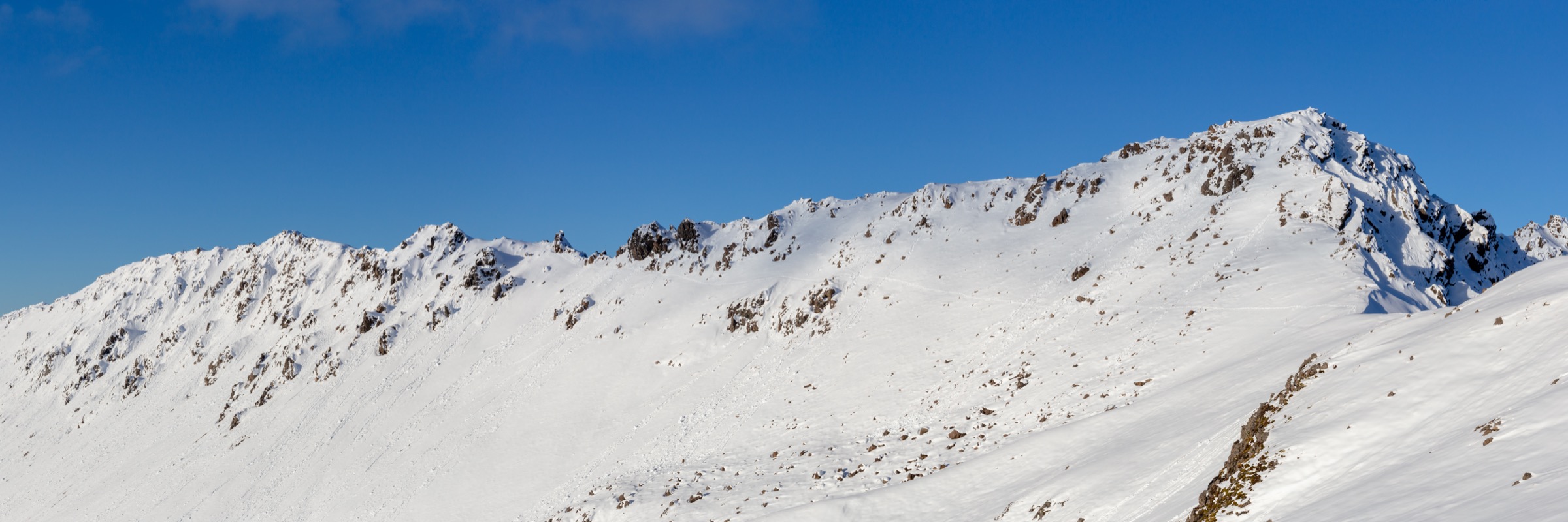
DOC describes the Pinchgut / Robert Ridge approach as the most popular fine-weather route to Angelus Hut. From the Mount Robert Carpark, climb the Pinchgut Track to the ridge, follow the poled Robert Ridge line past Julius Summit and across rocky alpine sections, then drop into the Lake Angelus basin.
Why it is essential
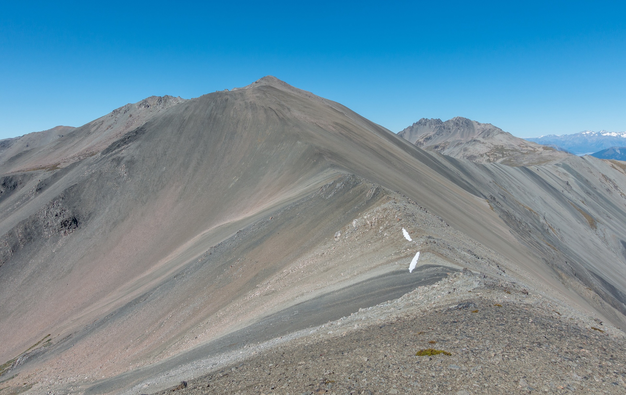
Robert Ridge is the defining southern Travers day stage: airy ridge walking, big views over Lake Rotoiti and the Travers valley, and arrival at the Lake Angelus basin.
Hazards and notes
- DOC warns that Robert Ridge is fully exposed to rapid weather change, high wind, poor visibility, and icy winter conditions; DOC has recorded accidents on icy rocky sections.
- No water on the ridge — carry enough for the full day.
- Angelus Hut bookings are required year-round.
GPX / KML links
| Source | URL | Format | Notes |
|---|---|---|---|
| DOC Angelus Hut tracks and routes | doc.govt.nz | Official hut page | DOC website terms |
| DOC Nelson Lakes multiday hikes brochure | doc.govt.nz PDF | Official brochure | DOC website terms |
| RouteGuides: Robert Ridge to Angelus | routeguides.co.nz | Third-party route page | GPX at xrv697.gpx; redistribution terms unresolved |
| AllTrails cross-check | alltrails.com | Third-party map | Do not redistribute AllTrails GPX without licence confirmation |
Further reading
3. Speargrass Creek Route to Angelus Hut
Snapshot
Itinerary
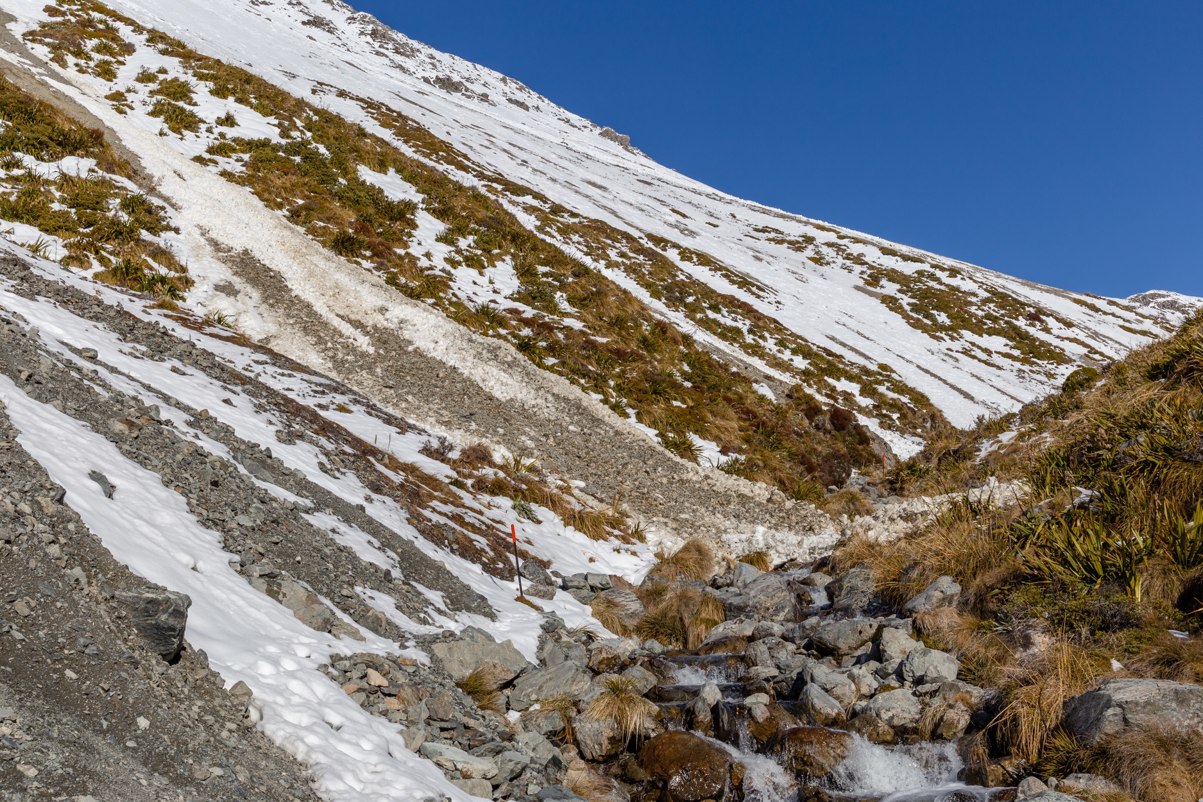
From the Mount Robert Carpark, drop and traverse to Speargrass Hut, then climb through the Speargrass Creek headwaters to meet the Robert Ridge approach near the Lake Angelus viewpoint. DOC notes many unbridged stream crossings and muddy sections through the middle third of the route.
Why it is essential
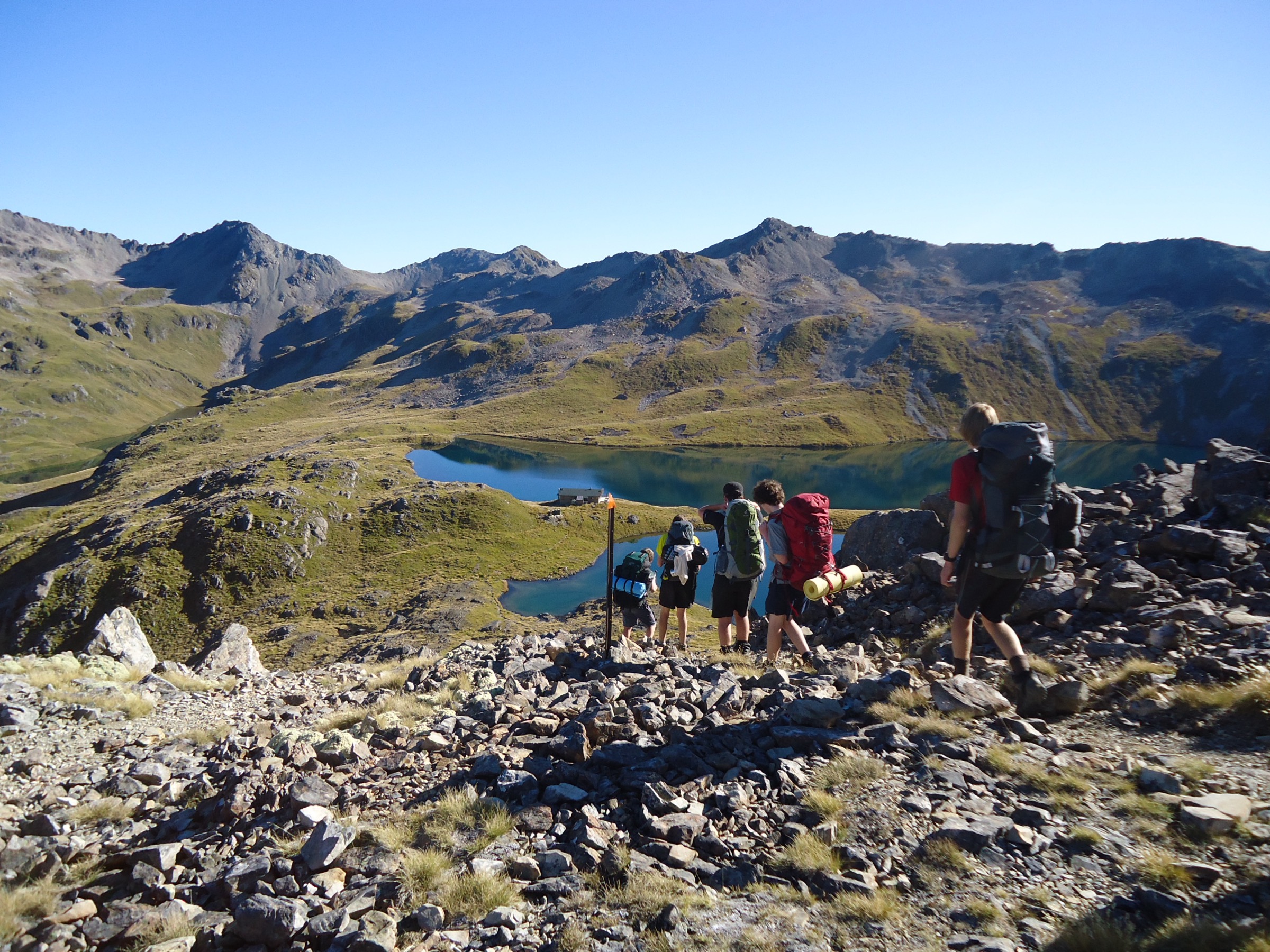
Speargrass is the lower, sheltered counterpart to Robert Ridge — the practical alternative when the ridge is unsafe, while still delivering the Angelus basin as the destination.
Hazards and notes
- Unbridged stream crossings can become dangerous after rain or snowmelt.
- The upper route reaches alpine terrain near Angelus Hut; cold, wind, and visibility remain major concerns near the hut.
- Angelus Hut bookings are required year-round.
GPX / KML links
| Source | URL | Format | Notes |
|---|---|---|---|
| DOC Angelus Hut tracks and routes | doc.govt.nz | Official hut page | DOC website terms |
| DOC Nelson Lakes multiday hikes brochure | doc.govt.nz PDF | Official brochure | DOC website terms |
| RouteGuides: Speargrass Track segment | routeguides.co.nz | Third-party route page | GPX at xrv2418.gpx; redistribution terms unresolved |
| AllTrails cross-check | alltrails.com | Third-party map | Do not redistribute AllTrails GPX without licence confirmation |
Further reading
4. Travers-Cascade Route via Hukere Stream to Angelus Hut
Snapshot
Itinerary
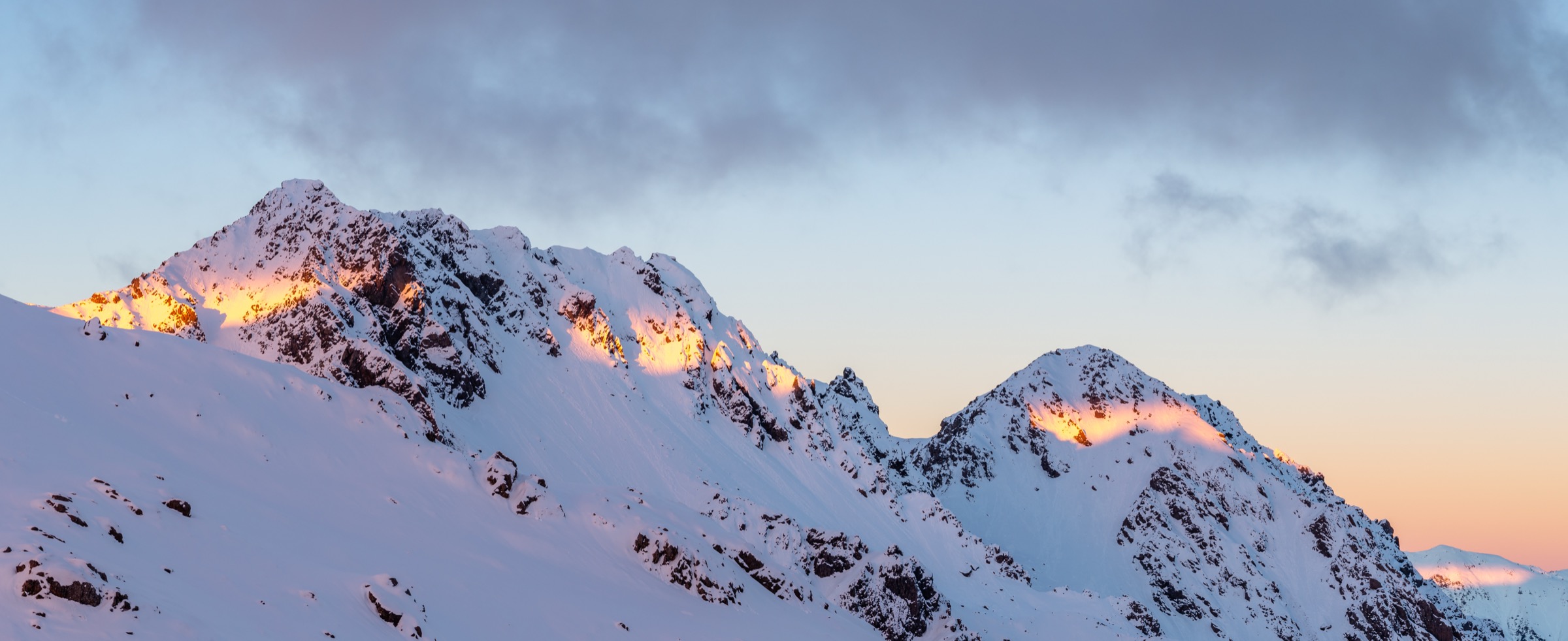
From the lower Travers side, follow the Travers-Cascade route beside Hukere Stream toward the Lake Angelus basin. DOC describes a steady climb followed by a steep poled section, and warns that the bridge over Hukere Stream may be removed from May to November because of avalanche danger.
Why it is essential
The Hukere route is the physical connection between the Upper Travers catalogue and the southern Angelus basin — the forest-to-tarn climb that makes the Travers Range read as a single connected mountain system rather than a set of separate valleys.
Hazards and notes
- Difficult stream crossings after rain or snowmelt.
- Winter snow, ice, and avalanche exposure through the upper climb.
- If the Hukere bridge has been removed for the season the route can become unsuitable — check with DOC.
GPX / KML links
| Source | URL | Format | Notes |
|---|---|---|---|
| DOC Angelus Hut tracks and routes | doc.govt.nz | Official hut page | DOC website terms |
| DOC Nelson Lakes multiday hikes brochure | doc.govt.nz PDF | Official brochure | DOC website terms |
| AllTrails cross-check | alltrails.com | Third-party map | Do not redistribute AllTrails GPX without licence confirmation |
| OpenStreetMap: Travers valley | openstreetmap.org | OSM area | ODbL; attribution required |
Further reading
5. Mount Cedric Route from Sabine Hut to Angelus Hut
Snapshot
Itinerary
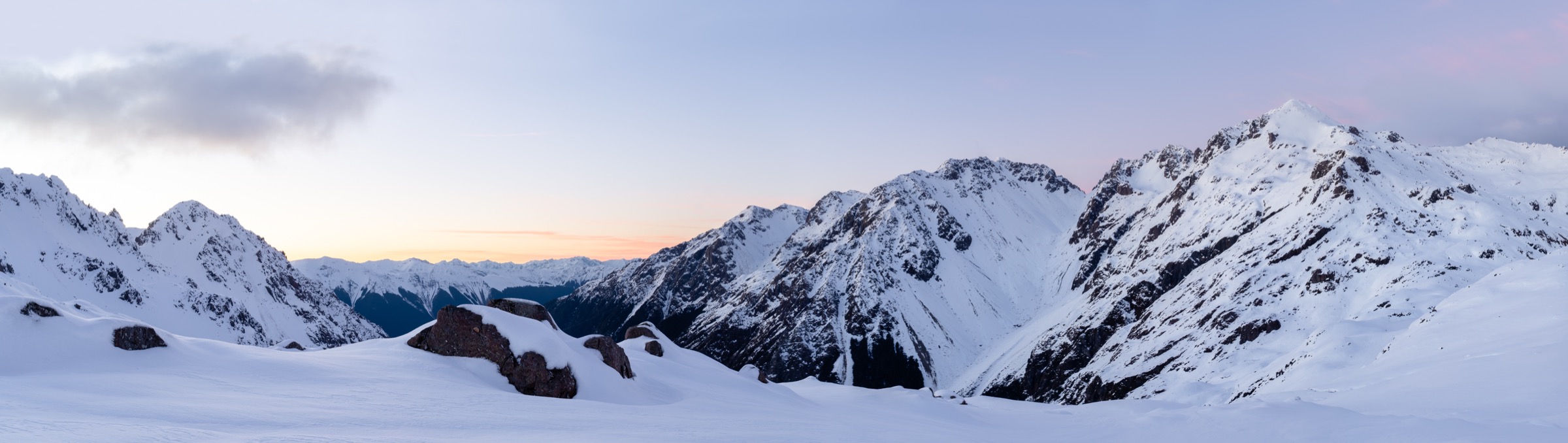
DOC describes the Mount Cedric route as starting behind Sabine Hut, climbing very steeply through forest, then following poles and cairns across exposed ground above the bush edge before dropping into the Lake Angelus basin.
Why it is essential
This is the steepest and most dramatic southern Travers approach to Angelus. It suits strong parties looking for a direct Sabine–Angelus link rather than the longer Speargrass or Robert Ridge exit.
Hazards and notes
- Very steep and exposed above the bush edge; no water on the climb.
- Winter snow and ice make the Cedric line a serious mountaineering objective — treat it as an alpine route, not a shortcut.
- Angelus Hut bookings are required year-round; Sabine Hut is first-come, first-served.
GPX / KML links
| Source | URL | Format | Notes |
|---|---|---|---|
| DOC Angelus Hut tracks and routes | doc.govt.nz | Official hut page | DOC website terms |
| DOC Nelson Lakes multiday hikes brochure | doc.govt.nz PDF | Official brochure | DOC website terms |
| RouteGuides: Angelus – Sabine via Mt Cedric | routeguides.co.nz | Third-party route page | Recorded direction is Angelus→Sabine; GPX at xrv703.gpx; redistribution terms unresolved |
| AllTrails cross-check | alltrails.com | Third-party map | Do not redistribute AllTrails GPX without licence confirmation |
Further reading
Verification notes
- Angelus Hut bookings are required all year according to DOC; catalogue readers should always link through to DOC for booking and current alerts.
- RouteGuides GPX files are recorded here as source files only; redistribution and commercial reuse terms remain unresolved.
- AllTrails maps are used as distance and elevation cross-checks and should not be treated as reusable GPX data without licence confirmation.
Further reading
| Source | URL |
|---|---|
| DOC Nelson Lakes National Park | doc.govt.nz |
| DOC Mount Robert Circuit | doc.govt.nz |
| DOC Angelus Hut | doc.govt.nz |
| DOC Nelson Lakes multiday hikes brochure (PDF) | doc.govt.nz PDF |
| DOC Nelson Lakes walks brochure (PDF) | doc.govt.nz PDF |
| Storm — Mount Robert Area, St Arnaud Range | storm.ski article |
| Wikipedia — Travers Range | en.wikipedia.org |
| Wikipedia — Nelson Lakes National Park | en.wikipedia.org |