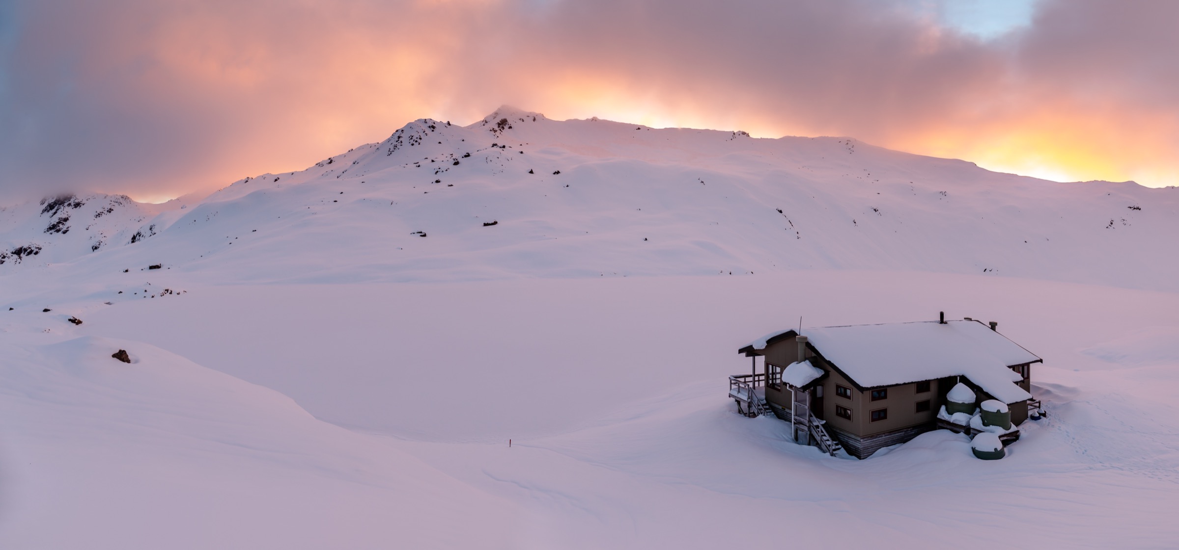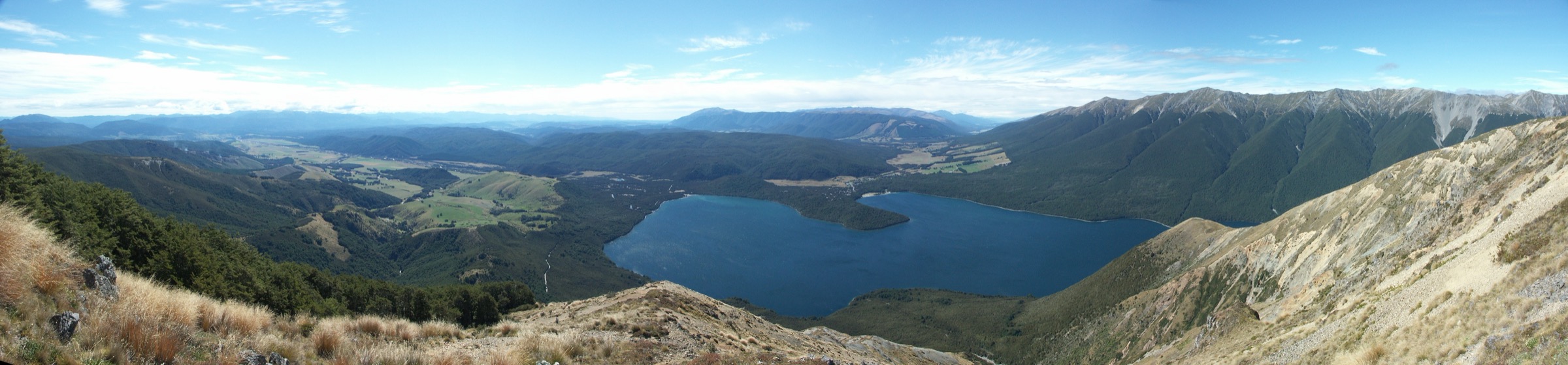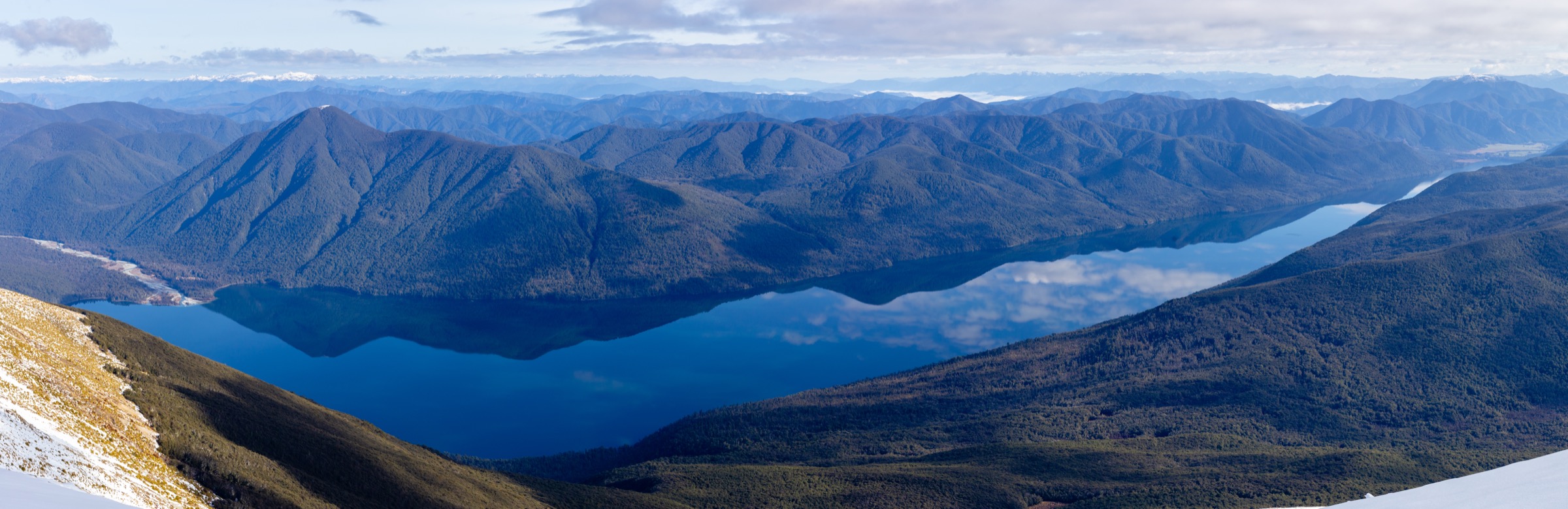
Regional overview
The southern St Arnaud Range is Nelson Lakes’ valley-and-lake country: the head of Lake Rotoiti where the Travers arrives, the mid-height Speargrass basin, the sheltered forests behind Lake Rotoroa, and the short interpretation walks along the Braeburn approach. Route-finding is straightforward, the country is genuinely remote in stretches, and the water taxis on both lakes turn otherwise long trips into single-day objectives.
DOC describes the southern approaches as tramping-standard forest and lakeside tracks, with wharves and huts placed for either a full day or an easy overnight. Any of these routes can be extended by continuing further up the Travers, Sabine or Speargrass valleys.
Access is by private vehicle to Kerr Bay, West Bay and Mount Robert Carpark on Rotoiti, and to Gowan Bridge and the Braeburn Track for Rotoroa. Nelson Lakes water taxis operate to Coldwater Hut and Lakehead Hut on Rotoiti and to Sabine Hut and D’Urville Hut on Rotoroa.
Selection rationale
These five hikes cover the southern St Arnaud walking character across its main sub-regions. The Lakehead Track is the classic Travers gateway from the north end of Rotoiti. Coldwater Hut via the Lakeside Track is the same gateway on the opposite shore. The Speargrass Track to Speargrass Hut is the mid-height forest tramp. The Braeburn Walk is the compact Rotoroa introduction. Sabine Hut via water taxi is the essential Lake Rotoroa half-day.
Summary table
| # | Hike | Country | Route type | Distance (DOC) | Approx. gain | Max elevation | Difficulty |
|---|---|---|---|---|---|---|---|
| 1 | Lakehead Track | New Zealand | One-way / return | ~15 km | ~100 m | ~640 m | Moderate |
| 2 | Coldwater Hut via Lakeside Track | New Zealand | Out-and-back | ~14 km | ~100 m | ~640 m | Moderate |
| 3 | Speargrass Track to Speargrass Hut | New Zealand | Out-and-back | ~15 km | ~400 m | ~1,020 m | Moderate |
| 4 | Braeburn Walk | New Zealand | Out-and-back | ~2 km | ~50 m | ~470 m | Easy |
| 5 | Sabine Hut via water taxi | New Zealand | Water taxi + walk | ~2 km on foot | ~50 m | ~470 m | Easy |
Before you go
Permits and access
All five routes lie inside Nelson Lakes National Park, managed by DOC. Backcountry hut fees apply at Lakehead, Coldwater, Speargrass and Sabine — carry a hut ticket or Backcountry Hut Pass if planning to use a hut. Water taxis on Rotoiti and Rotoroa are commercial operators; check current timetables and book in advance in summer. DOC does not permit dogs in the park.
Standard southern St Arnaud day-hiking kit
For the valley and lakeside tramps, carry:
- Standard tramping kit: boots with grip, waterproof/windproof shell, warm layers, hat, food, water and treatment, map and compass with GPS backup.
- Headtorch with spare batteries; even in summer the Lakehead and Coldwater days can finish in low light.
- Sandflies are relentless around Lake Rotoroa in particular — carry repellent and a head net if sensitive.
- Cash for water taxi tips or contingency if card readers fail at wharves.
Common hazards
DOC notes windfall and rising side creeks after storms on all the southern tracks. Coldwater and Lakehead beaches can be exposed to strong wind funnelling down the Travers valley. Around Rotoroa the sandflies alone are a documented reason to keep moving. Wasps in beech honeydew forest are aggressive in late summer.
1. Lakehead Track
Snapshot
Itinerary
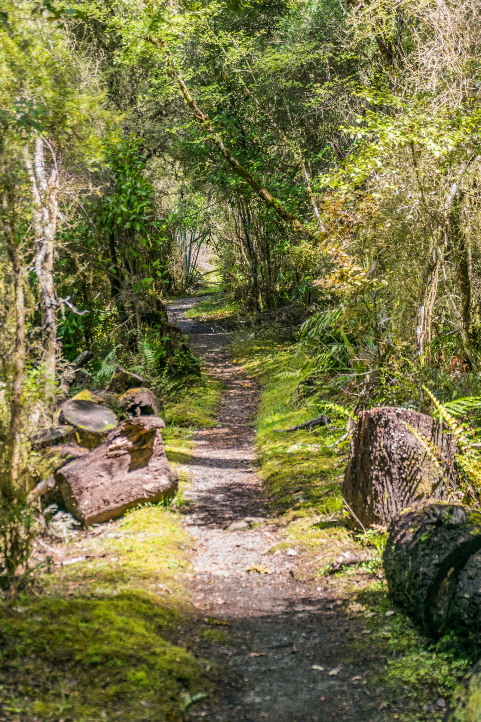
From Kerr Bay, follow the Lakehead Track along the east shore through beech forest and along tussock flats to the Lakehead Hut. Return by the same track or catch the water taxi from the Lakehead wharf back to Kerr Bay.
Why it is essential
The Lakehead Track is the essential Travers gateway walk: it delivers most parties their first look up the Travers valley without committing them to the long backcountry loop.
Hazards and notes
- Long day in kilometres; not technical but easy to mis-time in short winter days.
- Watch for windfall and creeks running high after rain.
- Sandflies and wasps are the main practical nuisance in late summer.
GPX / KML links
| Source | URL | Format | Notes |
|---|---|---|---|
| DOC Lakehead Track | doc.govt.nz | Official track page | DOC website terms |
| DOC Nelson Lakes National Park | doc.govt.nz | Official park page | Context source |
| OpenStreetMap: Lake Rotoiti | openstreetmap.org | OSM area | ODbL; attribution required |
Further reading
2. Coldwater Hut via Lakeside Track
Snapshot
Itinerary
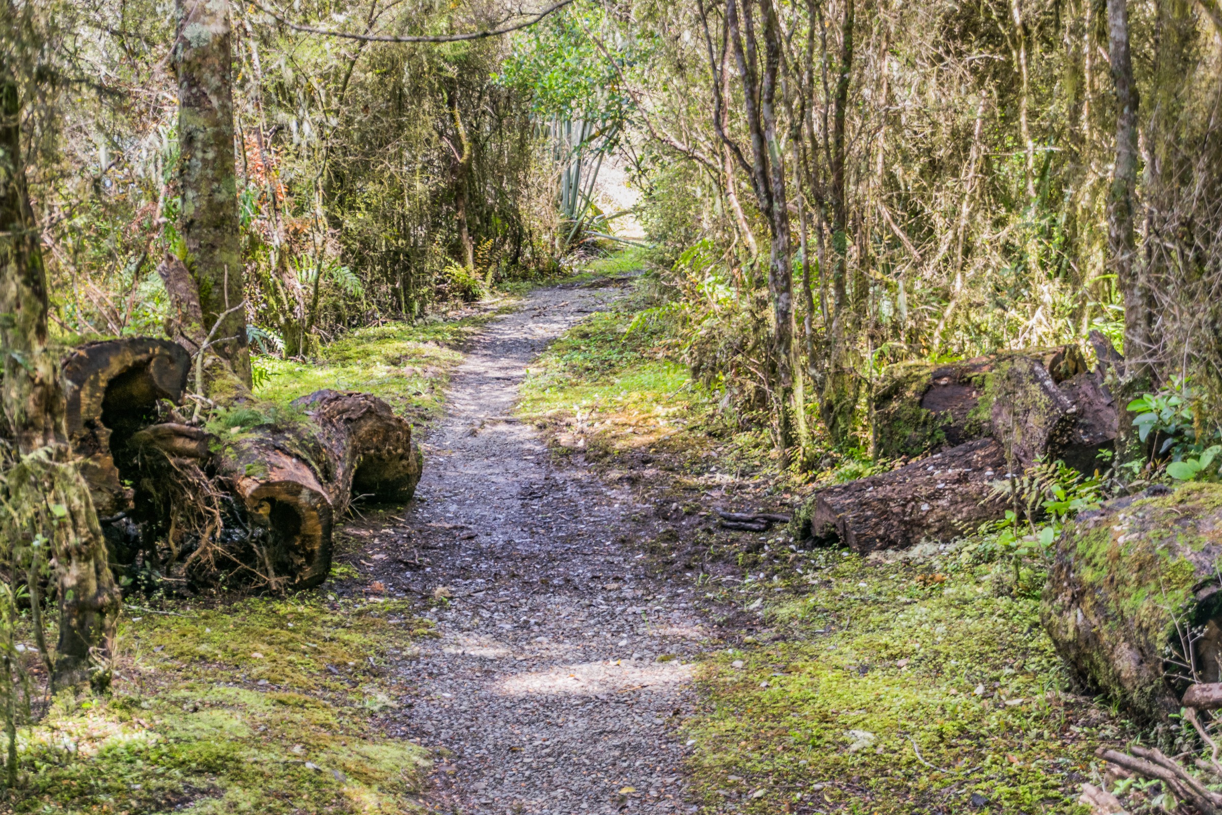
From West Bay, follow the Lakeside Track along the western shore of Lake Rotoiti through beech forest, past Whisky Falls and on to Coldwater Hut at the far end of the lake. Return by the same track or catch the water taxi.
Why it is essential
Coldwater Hut is the essential opposite bookend to the Lakehead Track: same character, same gateway to the Travers, but on the quieter western shore where day-walkers are fewer.
Hazards and notes
- Long day in kilometres; carry a headtorch even in summer.
- Windfall on the west shore can be significant after major storms.
- The Coldwater wharf is exposed to lake wind; time the water taxi with the operator’s advice.
GPX / KML links
| Source | URL | Format | Notes |
|---|---|---|---|
| DOC Lakeside Track | doc.govt.nz | Official track page | DOC website terms |
| DOC Coldwater Hut | doc.govt.nz | Official hut page | DOC website terms |
| OpenStreetMap: Lake Rotoiti | openstreetmap.org | OSM area | ODbL; attribution required |
Further reading
3. Speargrass Track to Speargrass Hut
Snapshot
Itinerary
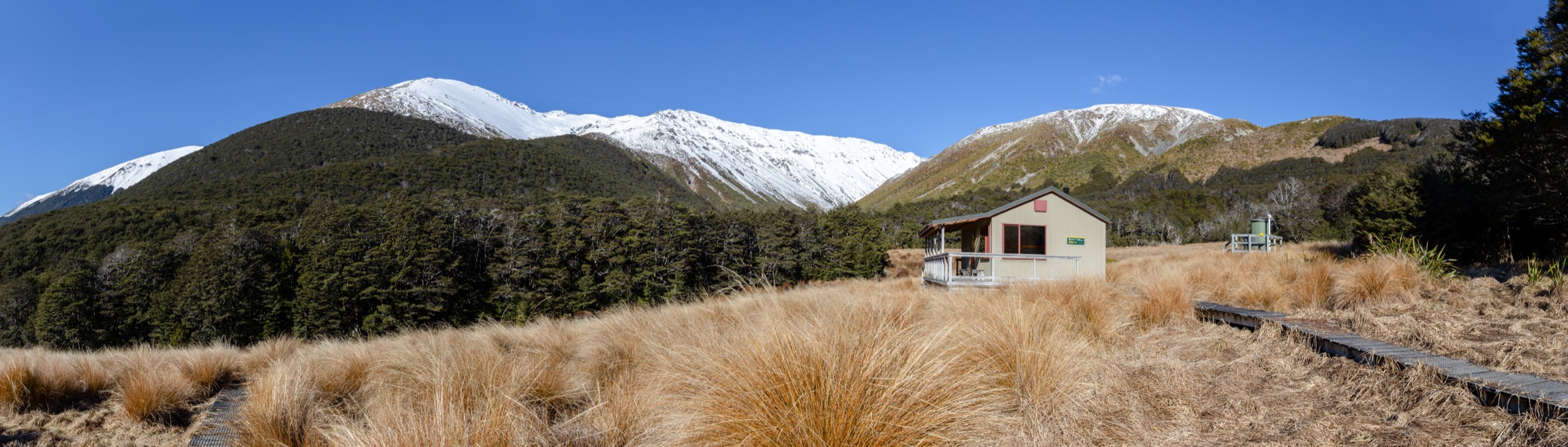
From the Mount Robert Carpark, follow the Speargrass Track through mixed beech forest as it contours and climbs into the Speargrass basin, then drops slightly to Speargrass Hut. Return by the same track.
Why it is essential
Speargrass Hut is the essential mid-height forest tramp on the range: enough climb to feel like a proper day, a genuine backcountry hut for lunch, and a bail-out anchor for parties working on the Angelus loop.
Hazards and notes
- Sustained climb through beech forest; can be muddy in wet weather.
- Wasps and sandflies both feature; carry repellent.
- Popular staging point for the Angelus loop; expect company at weekends.
GPX / KML links
| Source | URL | Format | Notes |
|---|---|---|---|
| DOC Speargrass Track | doc.govt.nz | Official track page | DOC website terms |
| DOC Speargrass Hut | doc.govt.nz | Official hut page | DOC website terms |
| OpenStreetMap: Speargrass basin | openstreetmap.org | OSM area | ODbL; attribution required |
Further reading
4. Braeburn Walk
Snapshot
Itinerary
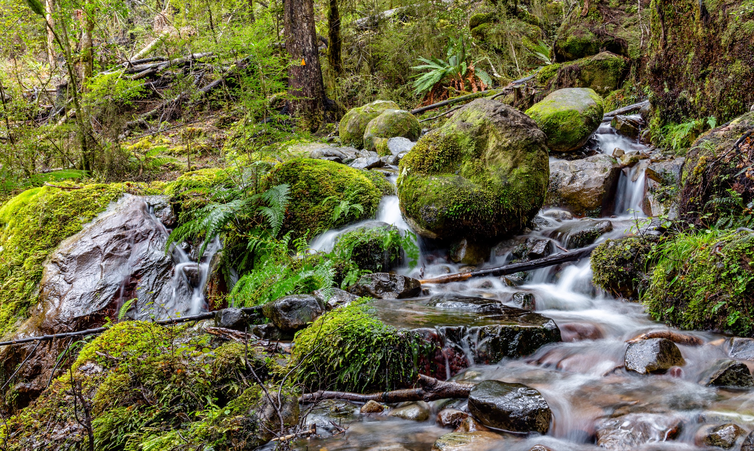
From the signposted Braeburn car park, follow the short walk through beech forest and understorey to the interpretation loop and back. This is a quiet contrast to the more visited Kerr Bay walks.
Why it is essential
Braeburn is the essential compact Rotoroa introduction — a short walk that samples the southern beech understorey and drops you into Nelson Lakes’ quieter western lake before the heavier tramps.
Hazards and notes
- Very low practical hazard.
- Sandflies at Rotoroa are documented as some of the worst on the range; carry repellent.
- The road access is unsealed in patches after storms.
GPX / KML links
| Source | URL | Format | Notes |
|---|---|---|---|
| DOC Braeburn Walk | doc.govt.nz | Official track page | DOC website terms |
| DOC Nelson Lakes National Park | doc.govt.nz | Official park page | Context source |
| OpenStreetMap: Lake Rotoroa | openstreetmap.org | OSM area | ODbL; attribution required |
Further reading
5. Sabine Hut via water taxi
Snapshot
Itinerary
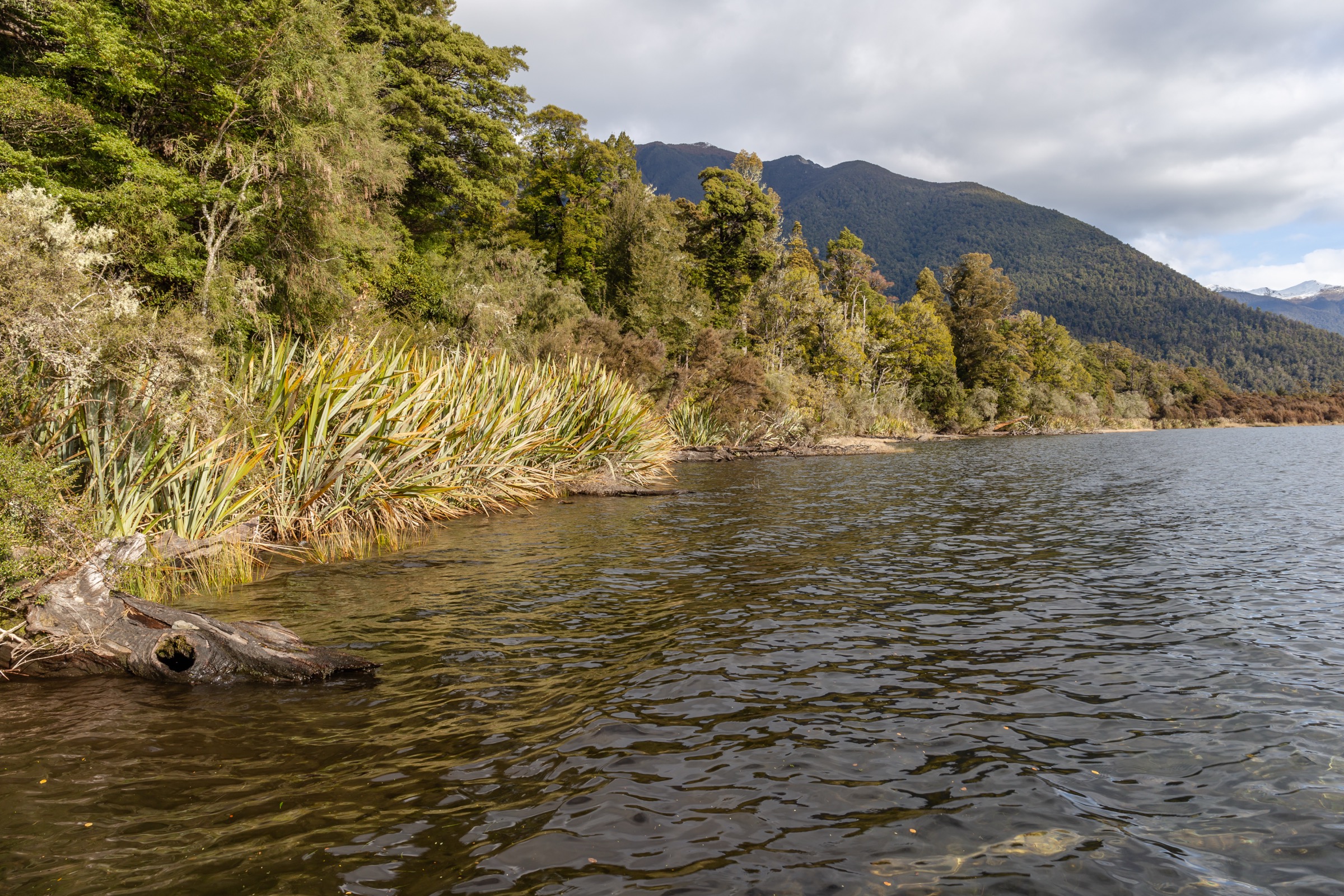
Board the Rotoroa water taxi at the Gowan Bridge end of the lake, cross to Sabine Hut at the head of Rotoroa, spend a lunch stop exploring the hut and short river-flat approaches, then return by the same water taxi.
Why it is essential
Sabine Hut by water taxi is the essential Lake Rotoroa half-day: for the price of a boat ticket you get the west-lake equivalent of the Lakehead Track, without the 15 km back on foot.
Hazards and notes
- Water-taxi schedules can be affected by wind on the lake; carry an emergency shelter in case you overnight.
- Sandflies at the head of Rotoroa are documented as some of the worst on the range.
- The Sabine River-mouth flats are exposed to changing lake level after rain.
GPX / KML links
| Source | URL | Format | Notes |
|---|---|---|---|
| DOC Sabine Hut | doc.govt.nz | Official hut page | DOC website terms |
| DOC Nelson Lakes National Park | doc.govt.nz | Official park page | Context source |
| OpenStreetMap: Lake Rotoroa | openstreetmap.org | OSM area | ODbL; attribution required |
Further reading
Further reading
| Source | URL |
|---|---|
| DOC Nelson Lakes National Park | doc.govt.nz |
| DOC Lakehead Track | doc.govt.nz |
| DOC Lakeside Track | doc.govt.nz |
| DOC Coldwater Hut | doc.govt.nz |
| DOC Speargrass Track | doc.govt.nz |
| DOC Speargrass Hut | doc.govt.nz |
| DOC Braeburn Walk | doc.govt.nz |
| DOC Sabine Hut | doc.govt.nz |
| Wikipedia — St Arnaud Range | en.wikipedia.org |
| Wikipedia — Nelson Lakes National Park | en.wikipedia.org |