Regional overview
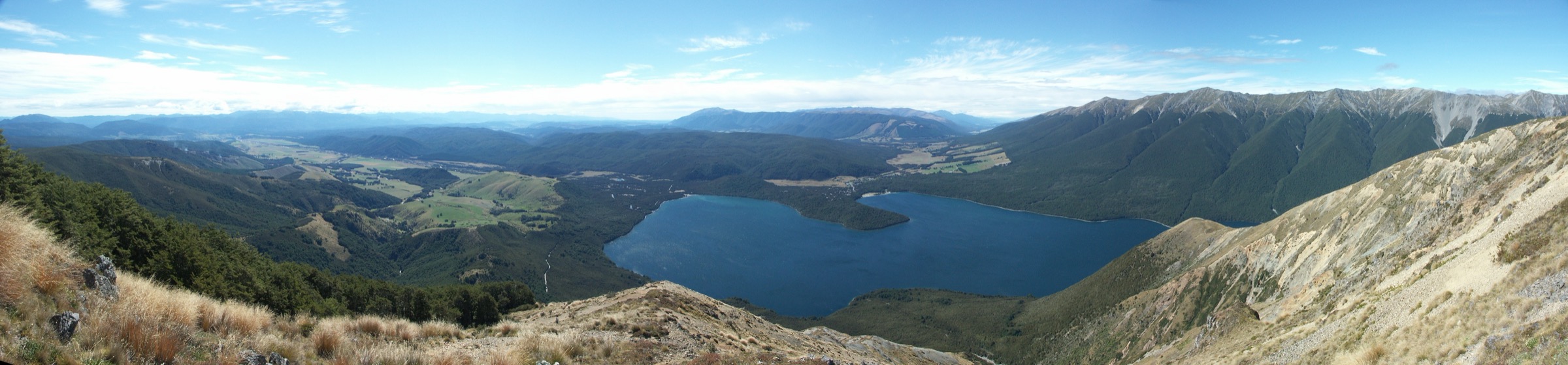
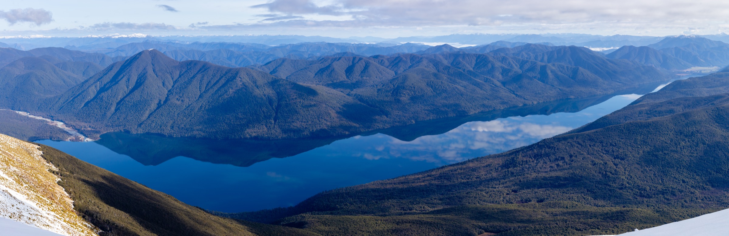
The central St Arnaud Range is exposed South Island alpine country: steep beech approaches from Kerr Bay and West Bay, sub-alpine tussock benches at Parachute Rocks and Julius Summit, and the long crest walk of Robert Ridge above Lake Rotoiti to the Angelus cirque. Strong north-westerlies, sudden southerlies, snow into December and lingering ice on the ridge are all standard concerns. The best day objectives fall into three groups: the direct St Arnaud Range climb from Kerr Bay, the Robert Ridge and Speargrass approaches to Angelus Hut, and the Julius Summit extension of the range track.
DOC classifies Robert Ridge and the Angelus approaches as an alpine route rather than a track, requiring solid mountain skills. The Parachute Rocks turnaround on the St Arnaud Range Track offers a serious sub-alpine tops day with a much lower commitment.
Access is by private vehicle to Kerr Bay for the St Arnaud Range Track and Julius, and to the Mount Robert Carpark for the Angelus routes. Both car parks are signposted from State Highway 63 at St Arnaud. Mount Robert Road can be closed by snow in winter.
Selection rationale
These five hikes cover the central St Arnaud walking character across its main sub-regions. The St Arnaud Range Track climbs directly from lake level to the alpine crest. The Parachute Rocks turnaround captures the same character in a shorter, safer window. Angelus Hut via Robert Ridge is the classic alpine day. Angelus via the Speargrass Creek Route is the softer, forest-and-basin alternative to the ridge. The Julius Summit turnaround adds the highest widely-visited point on the range to a St Arnaud Range Track day.
Summary table
| # | Hike | Country | Route type | Distance (DOC) | Approx. gain | Max elevation | Difficulty |
|---|---|---|---|---|---|---|---|
| 1 | St Arnaud Range Track (full ridge) | New Zealand | Out-and-back | ~9 km | ~1,000 m | ~1,650 m | Hard |
| 2 | Parachute Rocks turnaround | New Zealand | Out-and-back | ~6 km | ~600 m | ~1,270 m | Hard |
| 3 | Angelus Hut via Robert Ridge | New Zealand | Out-and-back | ~24 km | ~1,300 m | ~1,780 m | Very Hard (alpine) |
| 4 | Angelus Hut via Speargrass Creek Route | New Zealand | Out-and-back | ~28 km | ~1,300 m | ~1,650 m | Very Hard (alpine) |
| 5 | Julius Summit turnaround | New Zealand | Out-and-back | ~13 km | ~1,300 m | ~1,794 m | Very Hard |
Before you go
Permits and access
All five routes lie inside Nelson Lakes National Park, managed by DOC. Angelus Hut is on the Great Walks-adjacent booking system in summer — a booked bunk is required from late November to end April. Off-season, first-come first-served applies but conditions and the ridge approach may be genuinely dangerous. DOC does not permit dogs in the park.
Standard central St Arnaud day-hiking kit
For the alpine tops routes and the Angelus approaches, carry:
- Full mountain kit: sturdy boots, waterproof/windproof shell, warm layers, hat and gloves, food, water and treatment, map and compass with GPS backup.
- Personal locator beacon (PLB) — mobile coverage on the ridge is unreliable.
- Ice axe and crampons from May through November if any snow is on the ridge or the Angelus basin.
- Hut booking confirmation if planning any variant to overnight at Angelus.
Common hazards
DOC warns that Robert Ridge is exposed, avalanche-prone and often has severe wind and cold conditions outside high summer. The route from the top of Julius Summit down to the Hukere Stream is not a marked track. Parachute Rocks is a documented turnaround point because parties frequently under-estimate the exposure of the ridge beyond it. Weather can change from calm to a full southerly in an hour on this crest.
1. St Arnaud Range Track (full ridge)
Snapshot
Itinerary
From the Kerr Bay car park, cross the outlet of the Buller and follow the marked track up through beech forest to the bushline, then climb the well-trodden path up the tussock ridge to Parachute Rocks. From Parachute Rocks a poled line continues onto the ridge crest above 1,600 m; go as far along the ridge as conditions and time allow before returning by the same line.
Why it is essential
The St Arnaud Range Track is the range’s headline tops day from the village side — a genuine sub-alpine crest reached on foot from a supermarket and a café, without needing to move a vehicle.
Hazards and notes
- Sustained climb with almost no shade to the bushline.
- Above the bushline the track is a poled route; expect strong wind, cold and reduced visibility in cloud.
- Snow, verglas and cornices can persist into early summer on the ridge; do not press on if unroped ice is forming.
GPX / KML links
| Source | URL | Format | Notes |
|---|---|---|---|
| DOC St Arnaud Range Track | doc.govt.nz | Official track page | DOC website terms |
| DOC Nelson Lakes National Park | doc.govt.nz | Official park page | Context source |
| OpenStreetMap: Nelson Lakes | openstreetmap.org | OSM area | ODbL; attribution required |
Further reading
2. Parachute Rocks turnaround
Snapshot
Itinerary
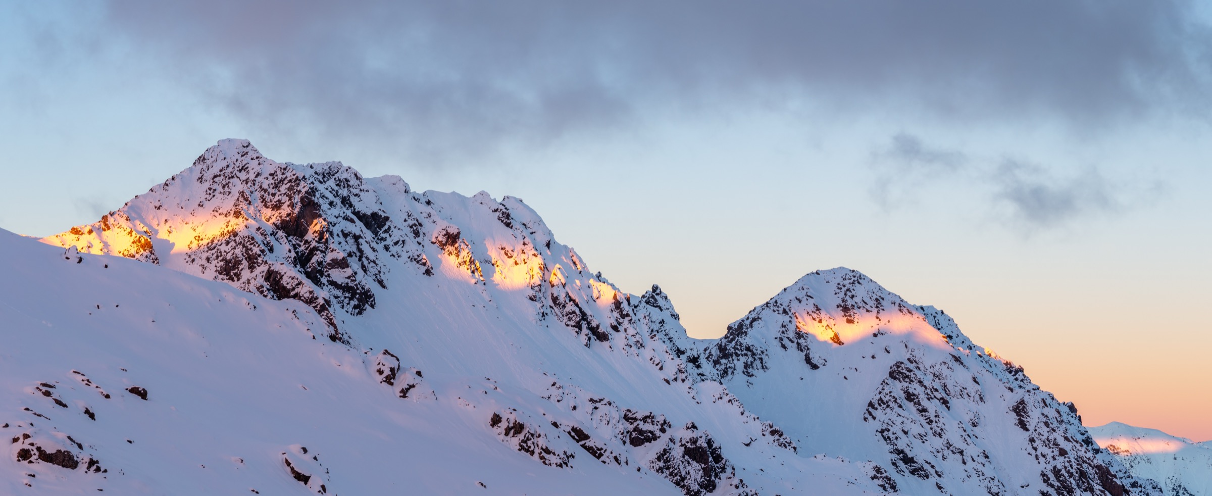
Follow the St Arnaud Range Track from Kerr Bay up the north face of the range through beech forest and out onto tussock benches at Parachute Rocks. Return by the same line. This is the recognised turnaround for parties not committed to the exposed crest above.
Why it is essential
Parachute Rocks is the essential half-day for parties who want the character of the tops without exposure to the full ridge. It is also the safest introduction to the range’s altitude and windswept ground.
Hazards and notes
- Steep sustained ascent; poles or trekking sticks are useful for the descent.
- The turnaround is not marked; identify Parachute Rocks by the bench of tussock benches and stacked outcrops.
- Beyond Parachute Rocks the ground is more exposed and DOC classes it as alpine route standard.
GPX / KML links
| Source | URL | Format | Notes |
|---|---|---|---|
| DOC St Arnaud Range Track | doc.govt.nz | Official track page | DOC website terms |
| DOC Nelson Lakes National Park | doc.govt.nz | Official park page | Context source |
| OpenStreetMap: Nelson Lakes | openstreetmap.org | OSM area | ODbL; attribution required |
Further reading
3. Angelus Hut via Robert Ridge
Snapshot
Itinerary
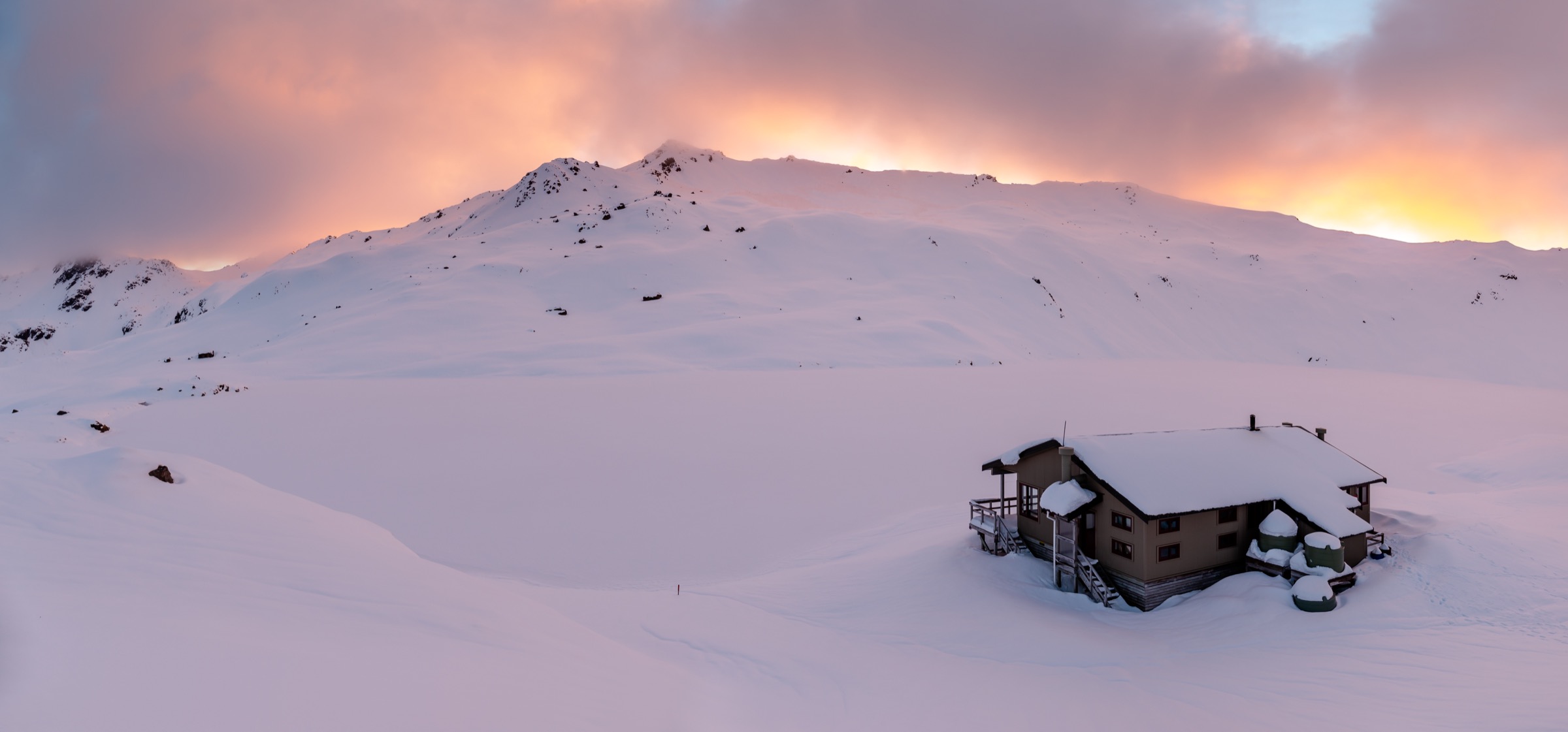
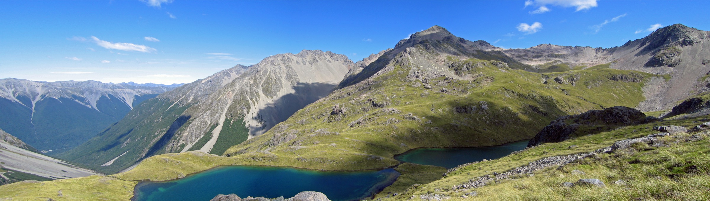
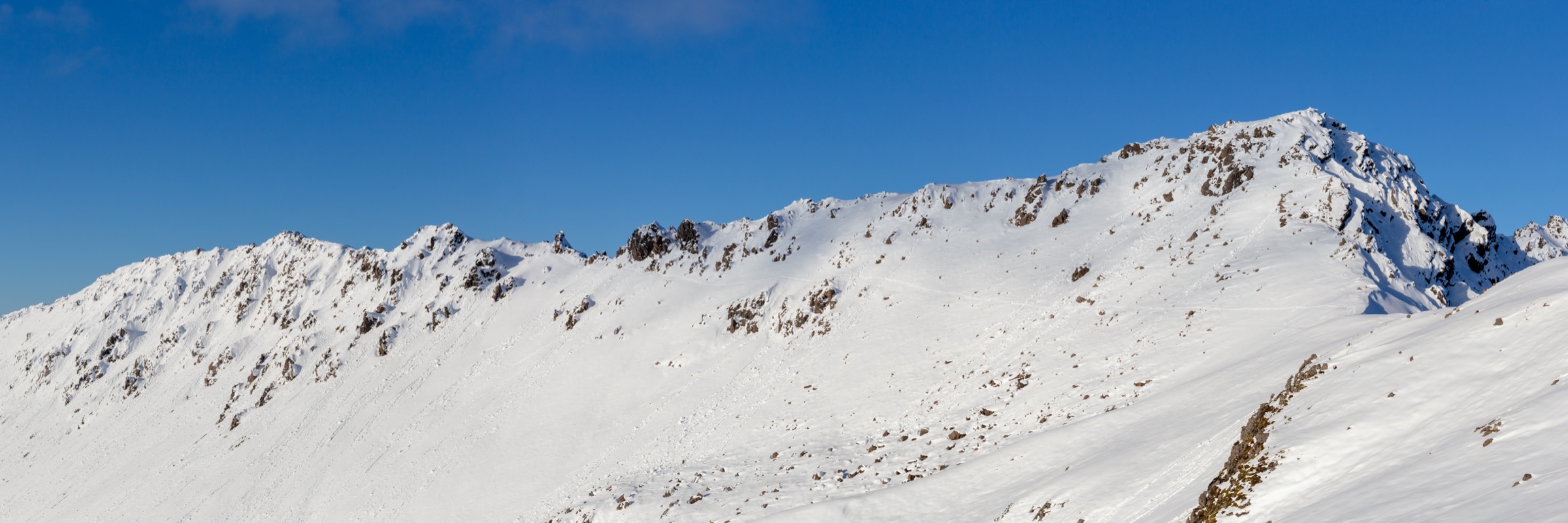
Climb Pinchgut to the ridge, traverse Bushline Hut and gain the exposed Robert Ridge crest. Follow the poled ridge over Flagtop and Julius Summit’s western shoulder to the Angelus cirque, then descend into Angelus Hut. Return by the same route only if the weather has held.
Why it is essential
This is the essential alpine ridge day of Nelson Lakes: an unbroken high-country crest walk from bushline hut to alpine hut, with 360-degree views over the Travers, Sabine and D’Urville catchments.
Hazards and notes
- DOC classes Robert Ridge as an alpine route, not a track; navigation, wind, cold and exposure are the standard concerns.
- Avalanche terrain in winter and spring; check the New Zealand Avalanche Advisory before departure.
- The day-return length is often better handled as an overnight; book Angelus Hut in advance in the summer season.
GPX / KML links
| Source | URL | Format | Notes |
|---|---|---|---|
| DOC Robert Ridge Route | doc.govt.nz | Official route page | DOC website terms |
| DOC Angelus Hut | doc.govt.nz | Official hut page | DOC website terms |
| OpenStreetMap: Robert Ridge | openstreetmap.org | OSM area | ODbL; attribution required |
Further reading
4. Angelus Hut via Speargrass Creek Route
Snapshot
Itinerary
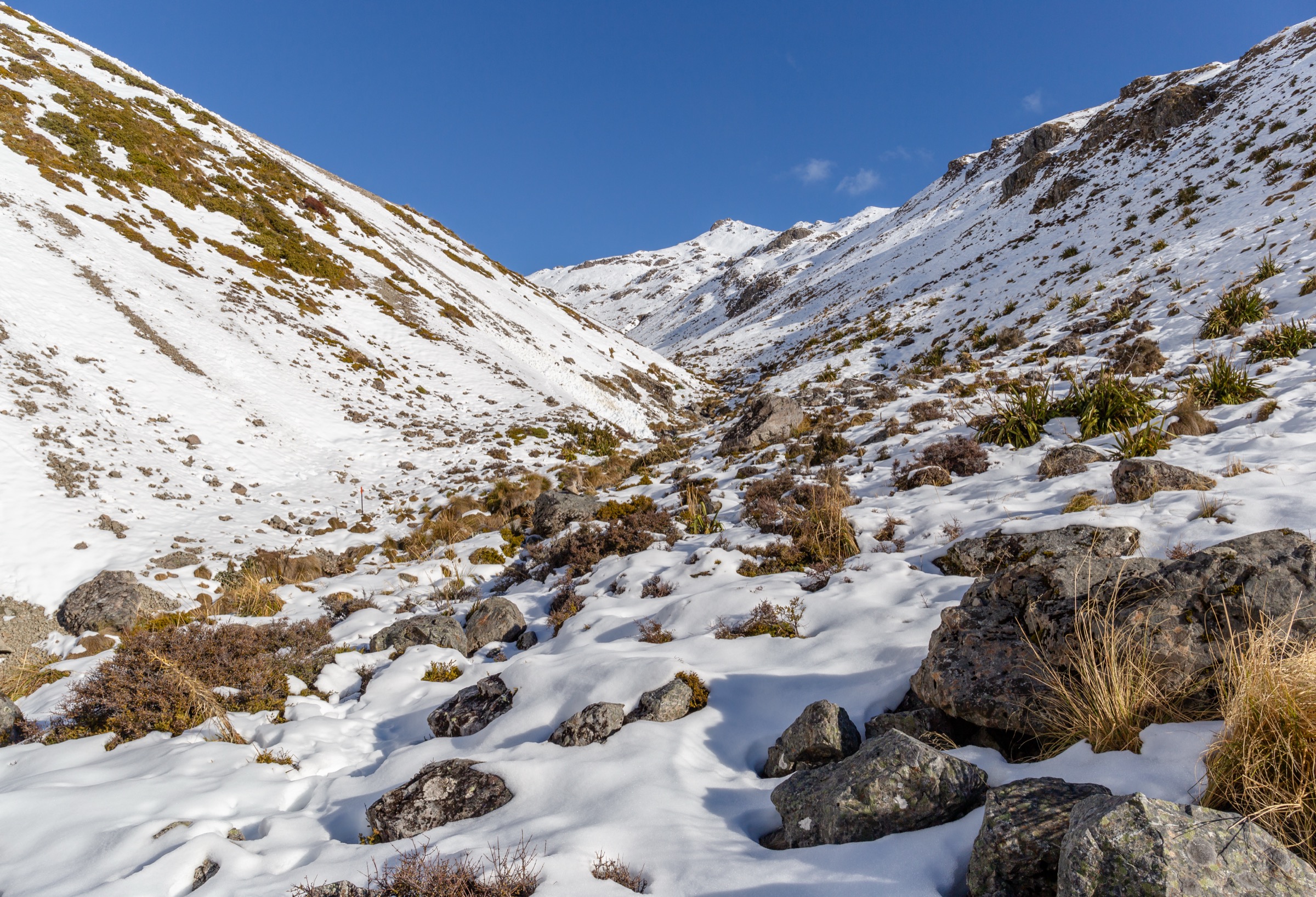
Follow the Speargrass Track from the Mount Robert Carpark to Speargrass Hut, then take the Speargrass Creek Route up the true left of the creek, climb into the upper basin and traverse to Angelus Hut. Return by the same route; the Angelus – Speargrass leg is the technical crux.
Why it is essential
This is the softer, forest-and-basin alternative to Robert Ridge. It stays in shelter for longer, provides Speargrass Hut as a genuine bailout, and reaches Angelus without committing to an exposed alpine crest.
Hazards and notes
- Long day; commit only in stable weather and with a plan to overnight if needed.
- The upper section of the Speargrass Creek Route is steep and rocky with route-finding required.
- Speargrass Hut is a useful bailout in deteriorating weather; carry a booking regardless.
GPX / KML links
| Source | URL | Format | Notes |
|---|---|---|---|
| DOC Speargrass Creek Route | doc.govt.nz | Official route page | DOC website terms |
| DOC Angelus Hut | doc.govt.nz | Official hut page | DOC website terms |
| OpenStreetMap: Speargrass basin | openstreetmap.org | OSM area | ODbL; attribution required |
Further reading
5. Julius Summit turnaround
Snapshot
Itinerary
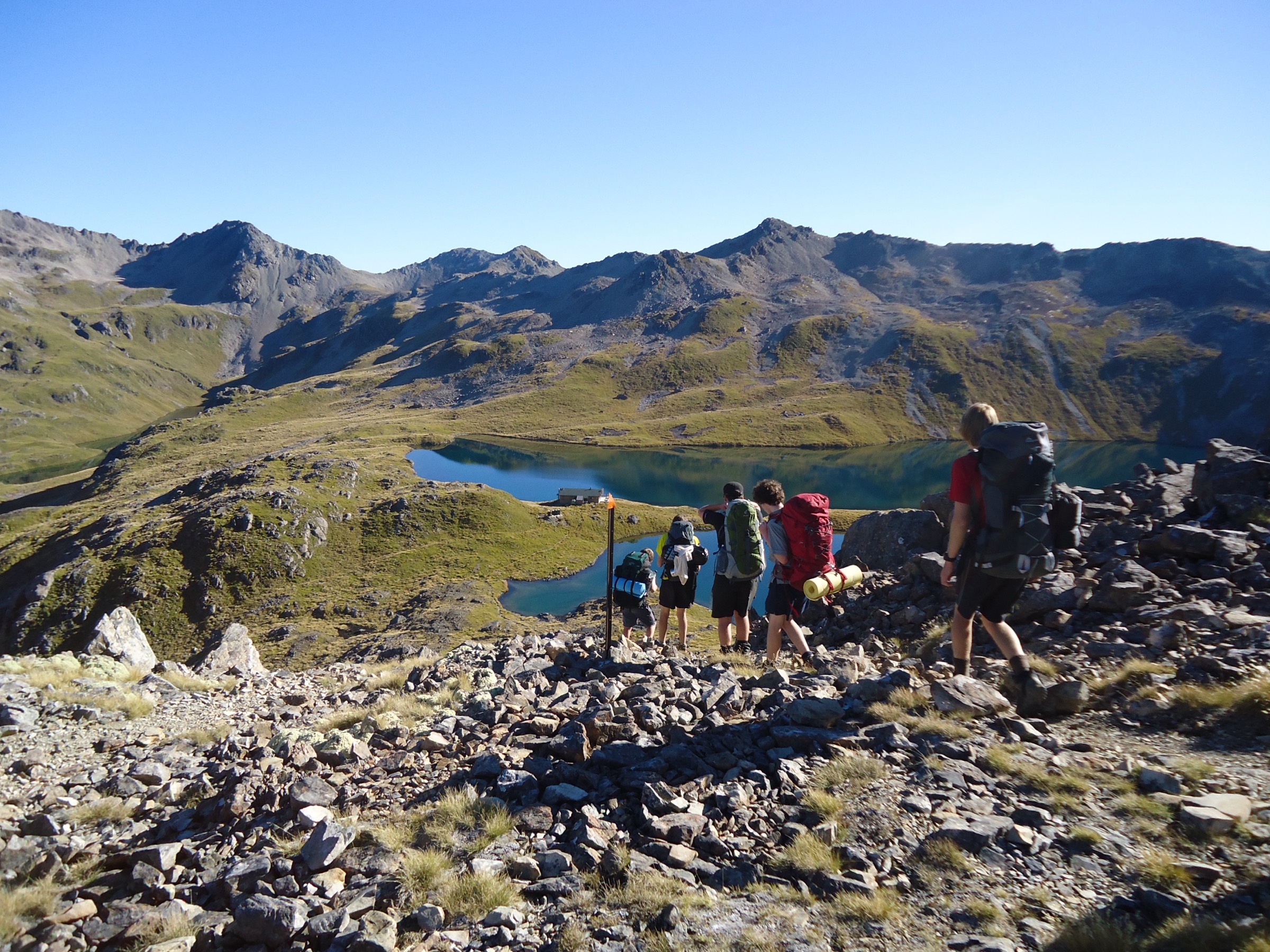
Ascend the St Arnaud Range Track past Parachute Rocks to the crest, then follow the poled/cairned line south-west along the ridge to Julius Summit. Turn around at the summit and return by the same route.
Why it is essential
Julius Summit is the highest widely-visited point on the central St Arnaud crest. Combining it with the range track is the strongest single-day summit objective from Kerr Bay.
Hazards and notes
- Route beyond Parachute Rocks is a poled/cairned alpine line; expect wind, cold and reduced visibility.
- The final crest to Julius Summit is very exposed to lightning risk in unstable weather.
- Descending under time pressure is a common source of accidents; start early.
GPX / KML links
| Source | URL | Format | Notes |
|---|---|---|---|
| DOC St Arnaud Range Track | doc.govt.nz | Official track page | DOC website terms |
| DOC Angelus Hut | doc.govt.nz | Official hut page | Context / bail-out target |
| OpenStreetMap: St Arnaud Range | openstreetmap.org | OSM area | ODbL; attribution required |
Further reading
Further reading
| Source | URL |
|---|---|
| DOC Nelson Lakes National Park | doc.govt.nz |
| DOC St Arnaud Range Track | doc.govt.nz |
| DOC Robert Ridge Route | doc.govt.nz |
| DOC Speargrass Creek Route | doc.govt.nz |
| DOC Angelus Hut | doc.govt.nz |
| New Zealand Avalanche Advisory | avalanche.net.nz |
| Wikipedia — St Arnaud Range | en.wikipedia.org |
| Wikipedia — Nelson Lakes National Park | en.wikipedia.org |