Regional overview
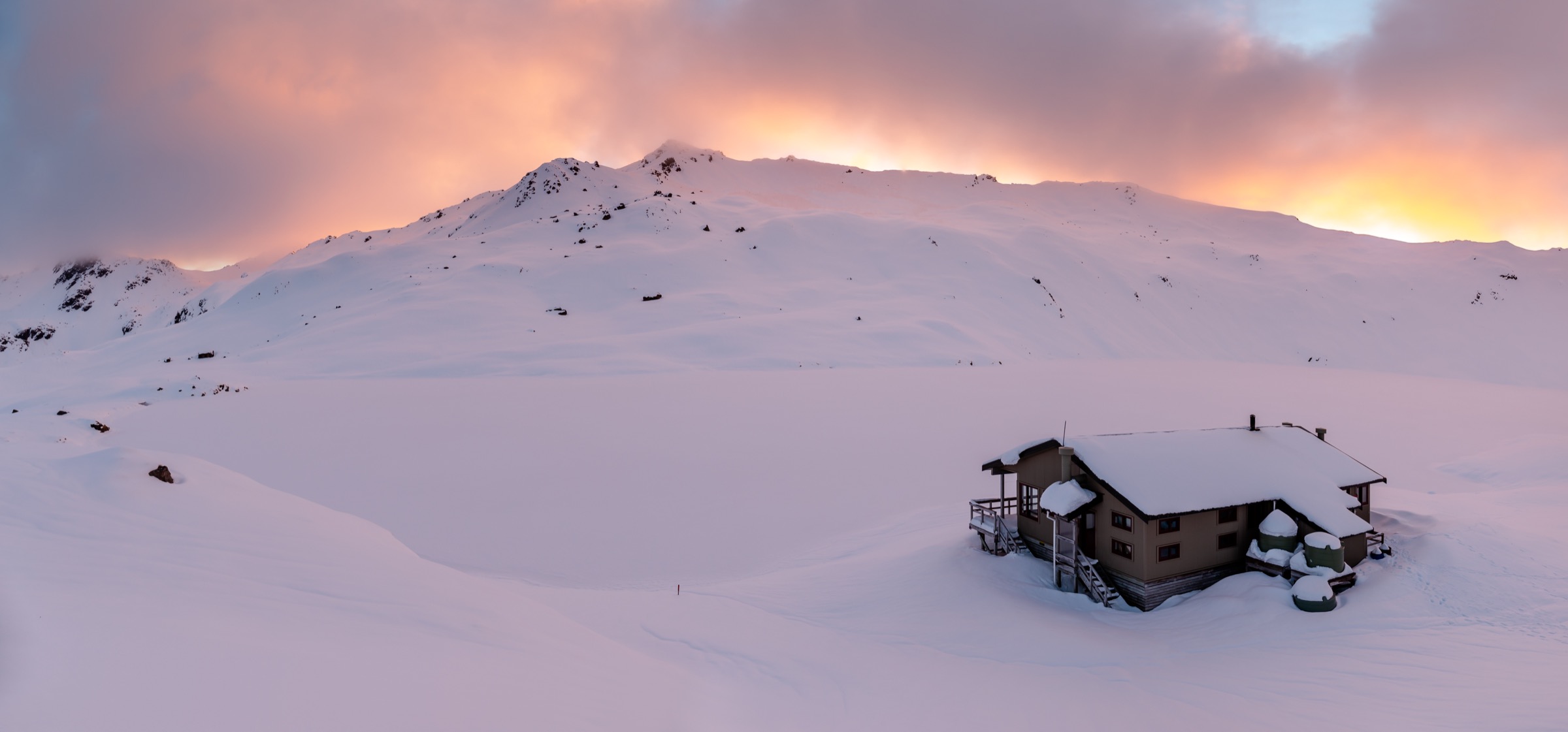
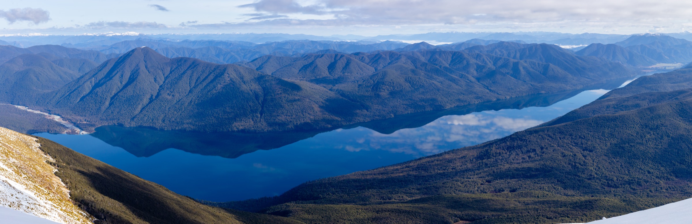
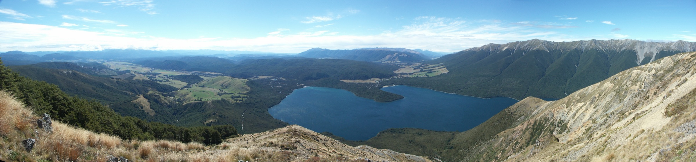
The Mount Robert side of the St Arnaud Range is Nelson Lakes’ most concentrated day-walk arena: a single road-end at West Bay opens onto a sub-alpine tops circuit, a bushline hut, a chain of lakeside forest tracks, and the short interpretation walks around the village of St Arnaud. Beech forest, glacial-carved cirques, tussock ridges above 1,400 m and long lake views can all be sampled from Rotoiti in a single day.
DOC describes Nelson Lakes as forested and lake country with alpine tops directly above the road; the Mount Robert Carpark and West Bay give the fastest access to those tops. Any of the routes onto the Mount Robert ridge should be planned as a mountain day even where the drive-in is short.
Access is by private vehicle to the Mount Robert Carpark and West Bay, both signposted from State Highway 63 at St Arnaud. Road status can change with snowfall in winter; DOC has closed the Mount Robert Road in past seasons and reopened only when conditions allow.
Selection rationale
These five hikes cover the Mount Robert walking character across its main tiers. The Mount Robert Circuit is the classic tops loop. Bushline Hut via Pinchgut turns Paddy’s Track into a satisfying hut objective. Whisky Falls is the long lakeside forest tramp. Peninsula Nature Walk and the Loop Track are the compact village-side introductions that pair well with either a tops day or a rest day.
Summary table
| # | Hike | Country | Route type | Distance (DOC) | Approx. gain | Max elevation | Difficulty |
|---|---|---|---|---|---|---|---|
| 1 | Mount Robert Circuit Track | New Zealand | Loop | ~9 km | ~700 m | ~1,421 m | Hard |
| 2 | Bushline Hut via Pinchgut Track | New Zealand | Out-and-back | ~8 km | ~700 m | ~1,347 m | Hard |
| 3 | Whisky Falls Track | New Zealand | Out-and-back | ~14 km | ~150 m | ~660 m | Moderate |
| 4 | Peninsula Nature Walk | New Zealand | Loop | ~4 km | ~30 m | ~630 m | Easy |
| 5 | Loop Track | New Zealand | Loop | ~3 km | ~60 m | ~640 m | Easy |
Before you go
Permits and access
All five routes lie inside Nelson Lakes National Park, managed by DOC. Mount Robert Road and West Bay are the primary trailheads for the tops routes and Whisky Falls; the Loop Track and Peninsula Nature Walk start from the DOC Rotoiti / Kerr Bay village area. DOC notes that the Mount Robert Carpark is a common target for opportunistic vehicle theft — leave the car empty and locked. No public transport to the trailheads was verified; St Arnaud is served by long-distance Nelson–Blenheim coaches but not by scheduled local buses.
Standard Mount Robert day-hiking kit
For the tops routes (Mount Robert Circuit and Bushline Hut), carry:
- Full mountain kit: boots with grip, waterproof/windproof shell, warm layers, hat and gloves, food, water and treatment, map and compass with GPS backup.
- Personal locator beacon (PLB) for the Mount Robert ridge; mobile coverage is limited above the village.
- Headtorch with spare batteries; the tops loops often finish in marginal light in shoulder seasons.
- Hut tickets or Backcountry Hut Pass if any route is to be extended into a night at Bushline Hut.
The lakeside and village walks (Whisky Falls, Peninsula, Loop) can be done in standard hiking kit but still need water, a shell layer and midge protection.
Common hazards
DOC warns that snow and severe wind can occur on the Mount Robert tops well outside winter. The circuit crosses a poled section along Robert Ridge that is exposed to sudden southerly change. Wasps are a well-known nuisance in Nelson Lakes beech forest through late summer and autumn — DOC and local operators publish annual wasp advice. On the lake tracks, the main practical hazard is boat traffic at wharves and the occasional slippery root or windthrow after storms.
1. Mount Robert Circuit Track
Snapshot
Itinerary
From the Mount Robert Carpark, climb the Pinchgut Track’s zigzags to the bushline, follow the ridge past the Relax Shelter and Bushline Hut to the top of Paddy’s Track, then descend Paddy’s Track back to the carpark. Reversing the direction is common; the Pinchgut ascent is shorter and steeper, Paddy’s Track is longer and easier gradient.
Why it is essential
This is the fastest, most complete introduction to the Nelson Lakes tops: forest, bushline, tussock ridges, a working hut and views over Lake Rotoiti and into the Travers valley, all inside a single day.
Hazards and notes
- Exposed ridge section; snow, low cloud and sudden southerlies are common outside high summer.
- Mount Robert Road can be closed by snow in winter; check DOC’s Nelson Lakes track and road updates.
- Opportunistic vehicle theft is a documented issue at the Mount Robert Carpark — leave nothing visible in the vehicle.
GPX / KML links
| Source | URL | Format | Notes |
|---|---|---|---|
| DOC Mount Robert Circuit Track | doc.govt.nz | Official track page | DOC website terms |
| DOC Bushline Hut | doc.govt.nz | Official hut page | DOC website terms |
| OpenStreetMap: Nelson Lakes tracks | openstreetmap.org | OSM area | ODbL; attribution required |
Further reading
2. Bushline Hut via Pinchgut Track
Snapshot
Itinerary
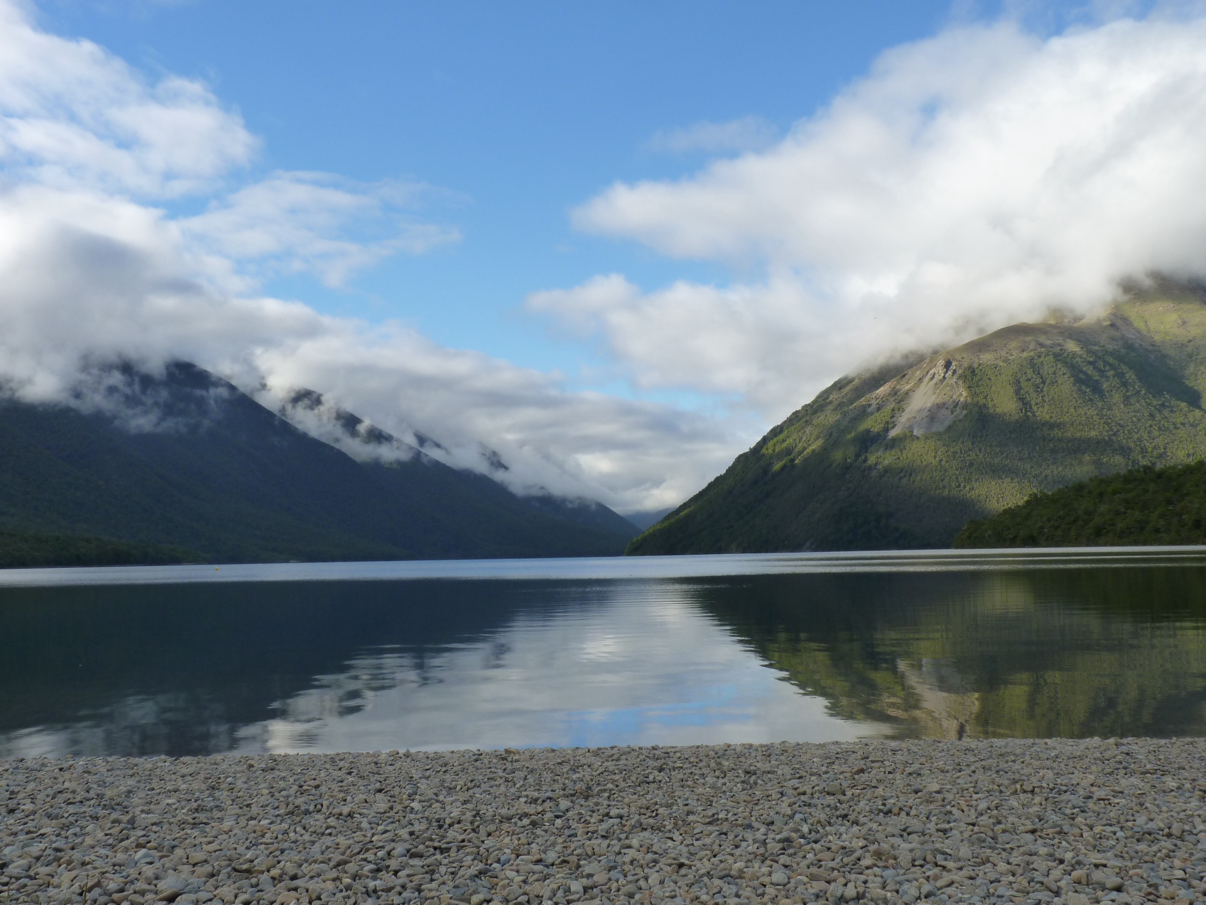
From the carpark, follow the Pinchgut Track’s continuous switchbacks up the north face of Mount Robert to the ridge, then contour a few minutes south to Bushline Hut. Descend the same way, or continue over the Mount Robert Circuit via Paddy’s Track.
Why it is essential
Bushline Hut is the most efficient way to reach a working DOC hut and sub-alpine tussock in the Nelson Lakes tops. As a stand-alone objective it delivers most of the reward of the full circuit for materially less time.
Hazards and notes
- Steep, sustained climb; loose gravel underfoot in patches.
- Bushline Hut is popular in summer weekends and cannot be booked — arrive early or plan an alternative if it is full.
- Exposed to wind and cold once on the ridge; carry warm layers even in fine forecasts.
GPX / KML links
| Source | URL | Format | Notes |
|---|---|---|---|
| DOC Pinchgut Track | doc.govt.nz | Official track page | DOC website terms |
| DOC Bushline Hut | doc.govt.nz | Official hut page | DOC website terms |
| OpenStreetMap: Nelson Lakes | openstreetmap.org | OSM area | ODbL; attribution required |
Further reading
3. Whisky Falls Track
Snapshot
Itinerary
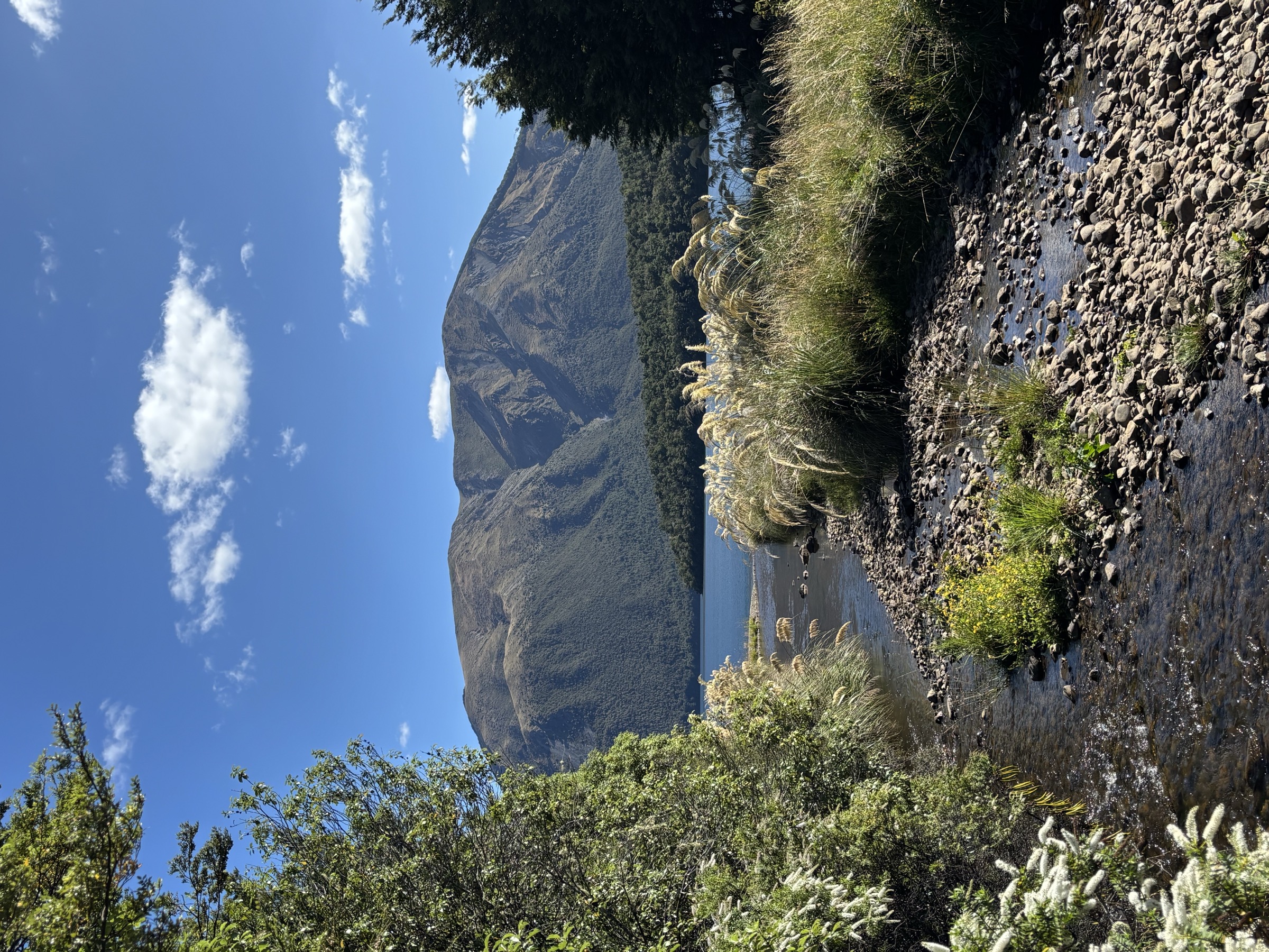
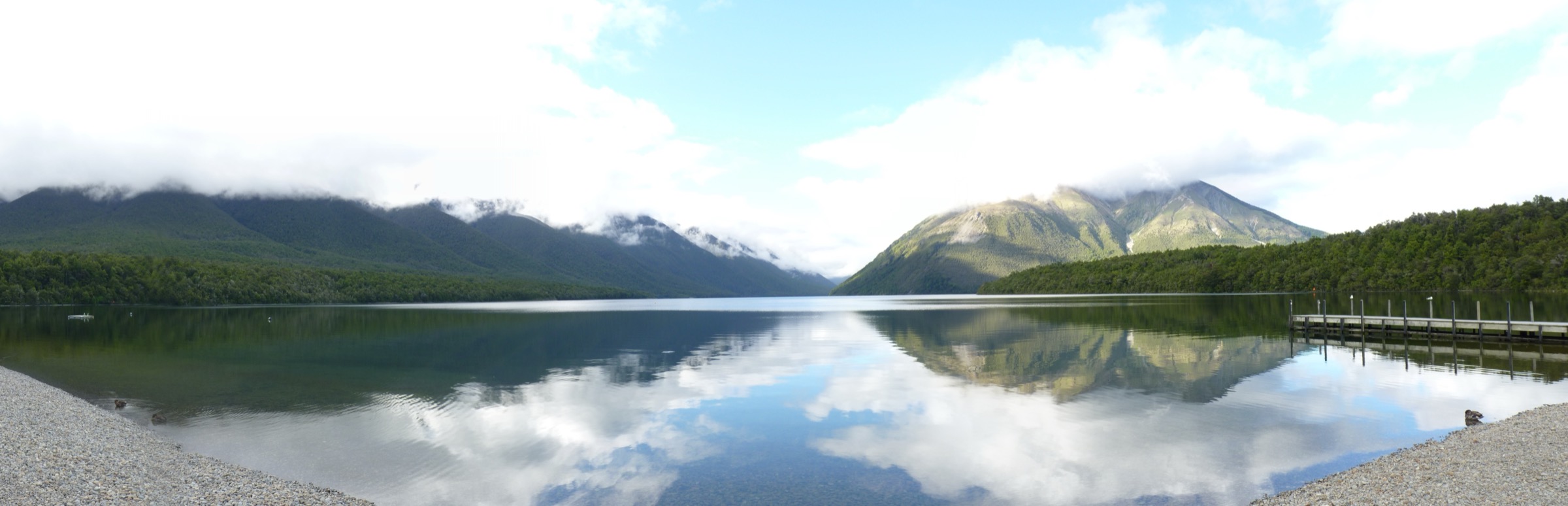
From West Bay, follow the Lakeside Track / West Bay Track along the north-western shore of Lake Rotoiti, through beech forest with occasional lake views, to the Whisky Falls. Return by the same line. Some parties use the water taxi one way to make it a half-day.
Why it is essential
Whisky Falls is the essential Nelson Lakes lakeside forest day: consistent grade, mature beech, and a legitimate waterfall objective away from the road-end crowds without any exposure to alpine hazard.
Hazards and notes
- Long day in kilometres, but sustained and rolling; not technical.
- The track can be muddy in wet spells and blown down after storms.
- Wasps are common in mid–late summer along this shore; carry antihistamines if sensitive.
GPX / KML links
| Source | URL | Format | Notes |
|---|---|---|---|
| DOC Whisky Falls Track | doc.govt.nz | Official track page | DOC website terms |
| DOC Lakeside Track | doc.govt.nz | Official track page | DOC website terms |
| OpenStreetMap: Nelson Lakes | openstreetmap.org | OSM area | ODbL; attribution required |
Further reading
4. Peninsula Nature Walk
Snapshot
Itinerary
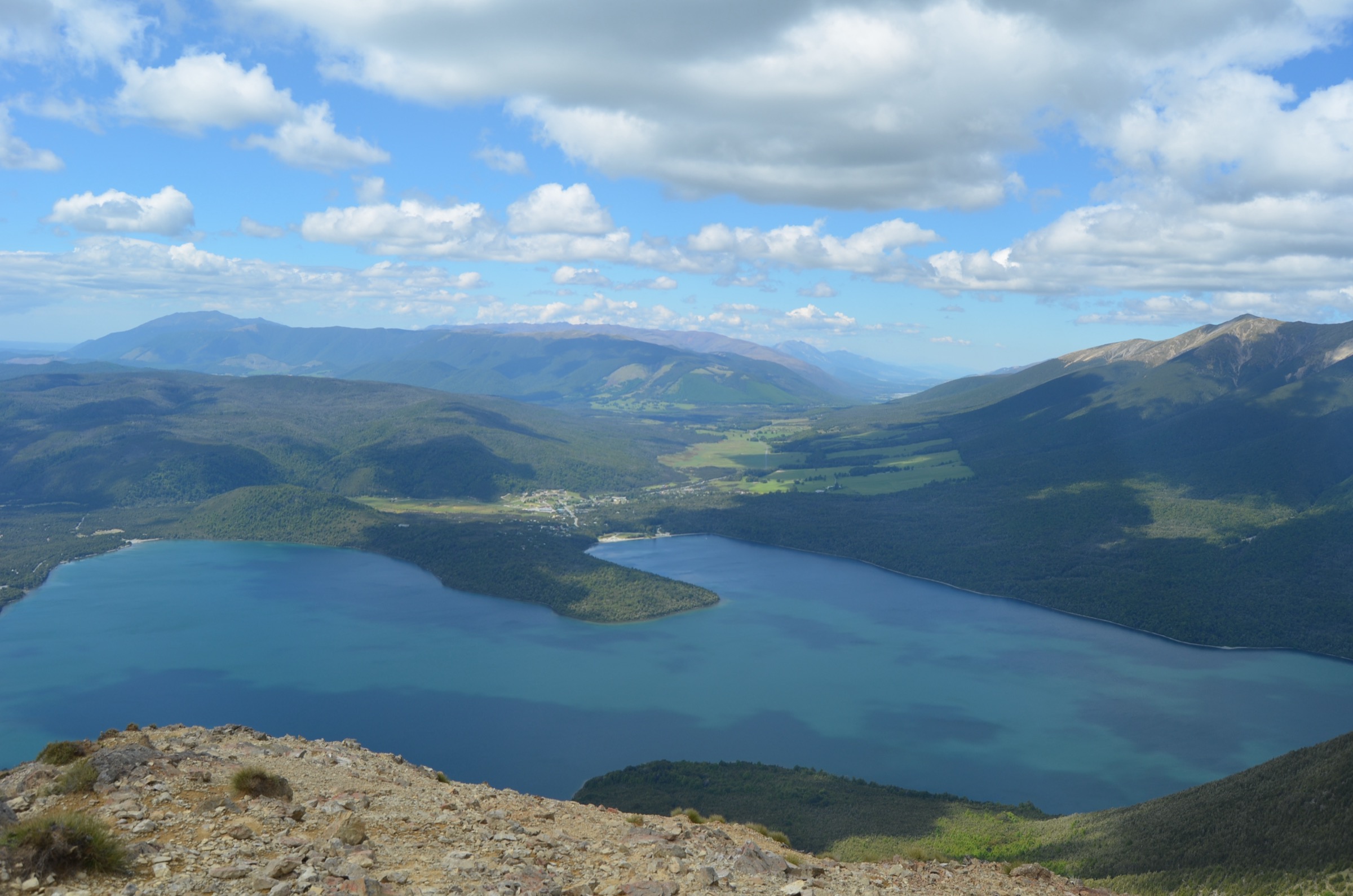
Follow the signposted loop around the Kerr Bay peninsula through beech forest and past interpretation panels covering the DOC “Mainland Island” pest-control project. The route hugs the lake edge, then cuts through the forest interior back to Kerr Bay.
Why it is essential
This is the compact biodiversity walk for the Mount Robert area — Nelson Lakes’ flagship “Rotoiti Nature Recovery Project” is easiest to see here, with wattle-bird calls and healthier forest floor than in unmanaged blocks nearby.
Hazards and notes
- Very low practical hazard; the loop is walkable in trainers.
- Wasps in beech honeydew forest can be aggressive in late summer.
- Stick to the marked track to protect ground nesting birds and traplines.
GPX / KML links
| Source | URL | Format | Notes |
|---|---|---|---|
| DOC Peninsula Nature Walk | doc.govt.nz | Official track page | DOC website terms |
| DOC Rotoiti Nature Recovery Project | doc.govt.nz | Programme page | Context source |
| OpenStreetMap: Kerr Bay | openstreetmap.org | OSM area | ODbL; attribution required |
Further reading
5. Loop Track
Snapshot
Itinerary
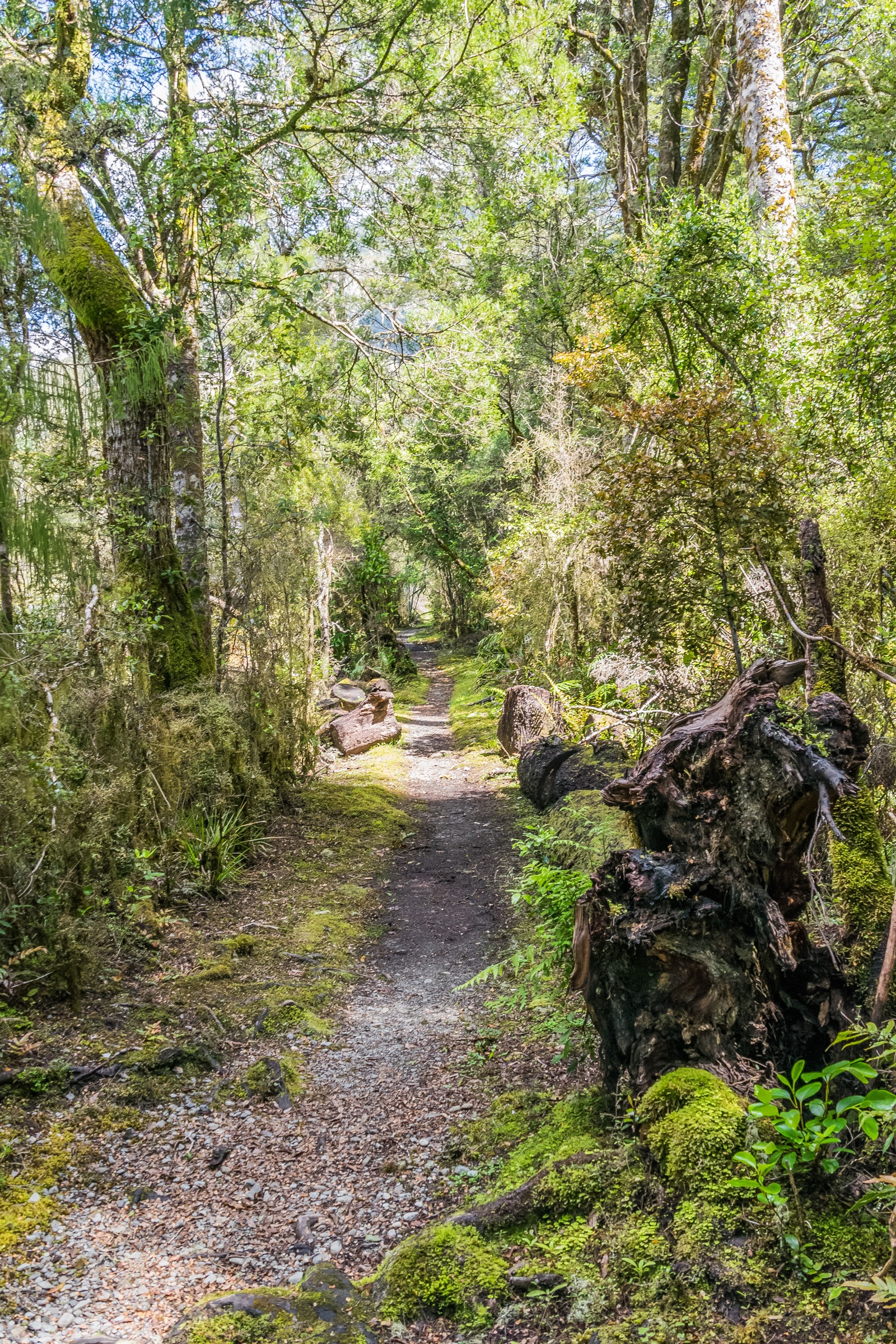
From Kerr Bay, follow the Loop Track through mixed beech forest with interpretation on Nelson Lakes ecology, returning to the village near the DOC visitor centre. The route is well-formed with a short climb over the low ridge behind the campground.
Why it is essential
The Loop Track pairs perfectly with either a rest day or a big day on the tops — it fits in an hour and a half either side of a Mount Robert Circuit, and it is the introduction most families use before committing to something bigger.
Hazards and notes
- Minimal hazard beyond wet roots and beech-forest wasps in late summer.
- Not signposted from every direction — start from the visitor centre to avoid confusion with the various shore tracks.
- Very busy at weekends and in school holidays.
GPX / KML links
| Source | URL | Format | Notes |
|---|---|---|---|
| DOC Loop Track | doc.govt.nz | Official track page | DOC website terms |
| DOC Nelson Lakes Visitor Centre | doc.govt.nz | Official park page | Context source |
| OpenStreetMap: Kerr Bay | openstreetmap.org | OSM area | ODbL; attribution required |
Further reading
Further reading
| Source | URL |
|---|---|
| DOC Nelson Lakes National Park | doc.govt.nz |
| DOC Mount Robert Circuit Track | doc.govt.nz |
| DOC Pinchgut Track | doc.govt.nz |
| DOC Bushline Hut | doc.govt.nz |
| DOC Whisky Falls Track | doc.govt.nz |
| DOC Peninsula Nature Walk | doc.govt.nz |
| DOC Loop Track | doc.govt.nz |
| Wikipedia — St Arnaud Range | en.wikipedia.org |
| Wikipedia — Nelson Lakes National Park | en.wikipedia.org |