Regional overview
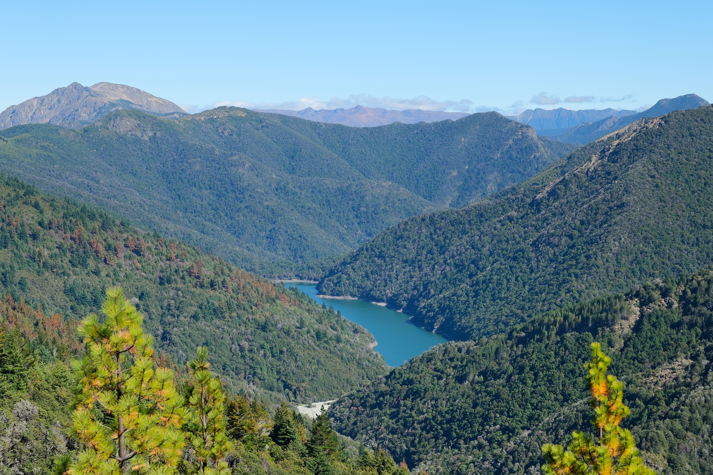
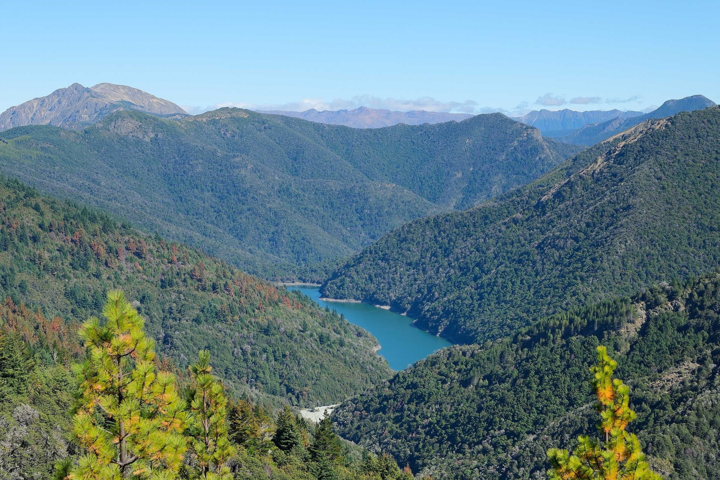
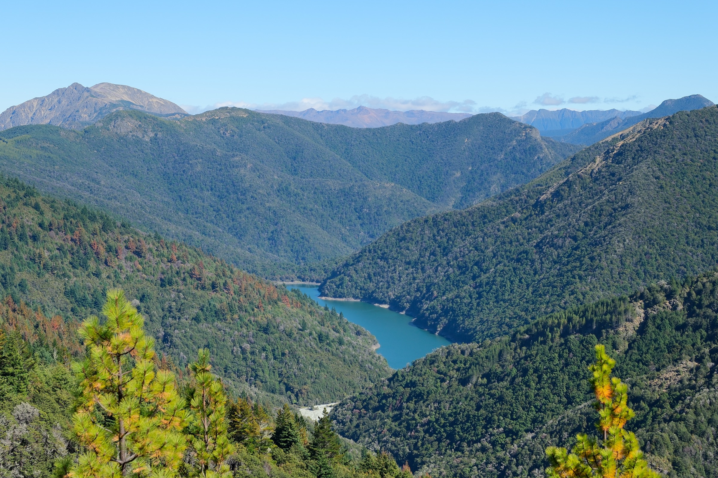
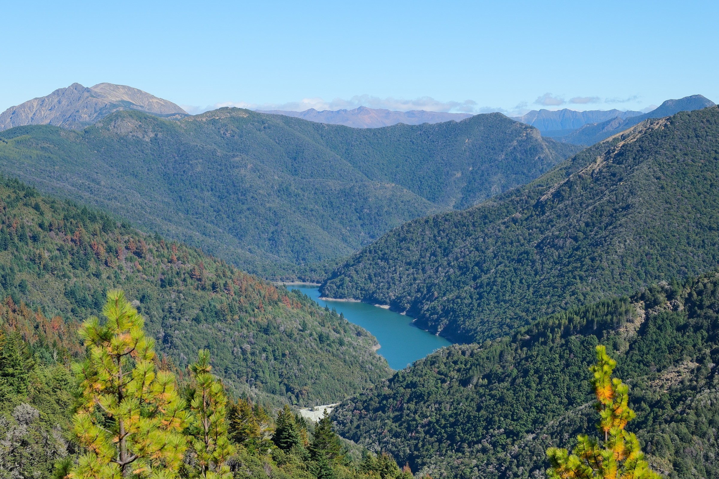
The Wairoa Valley sector is the remote western and south-western exit corridor of the Richmond Range in Mount Richmond Forest Park, straddling the Marlborough / Tasman border on the South Island. It is not a front-country day-walk destination — it is the connector country for the Alpine Route, the Red Hills Route and the Richmond Ranges Te Araroa line, and its day-scale sections are best treated as one-day hut-to-hut or road-end-to-hut segments for fit, equipped trampers inside a larger traverse plan.
Two access corridors define the sector. Wairoa Gorge Road end, reached by a 34 km drive from Brightwater (last 14 km rough gravel) to a locked gate, is the west-side road access for Mid Wairoa Hut and — via the Wairoa exit — the Alpine Route. Goulter Road end / Tiphead Stream access on the Marlborough side is the alternate one-day exit from Tarn Hut, with the Goulter Road itself now open only to walkers and cyclists in DOC’s current access note. No public transport reaches either road end.
DOC classifies the Wairoa sections as expert / remote tramping, with steep sidles, unbridged river crossings — the Mid Wairoa to Top Wairoa section alone has eight — narrow footholds after erosion, and rivers that rise quickly after rain. The Alpine Route exits from Tarn Hut are equally serious ridge, alpine and steep-descent country.
Two catalogue framing notes shape this entry. First, “Wairoa Valley Sector” is not a DOC visitor-area label — this entry maps the sector name onto the closest DOC route cluster and access corridor. Second, DOC does not publish elevation gain, loss or route high-point figures for most of these sections in the source pages checked; distances and times come from the DOC route pages themselves and where a figure is absent it is stated as such rather than inferred.
Selection rationale
The five selections are the essential one-day sections of the Wairoa Valley sector. The Wairoa Gorge road end to Mid Wairoa Hut approach is the practical gateway to both the Alpine and Red Hills traverses. The Mid Wairoa to Top Wairoa section is the core Wairoa Valley day, and the sector’s most committing river-crossing route. Top Wairoa to Hunters Hut via Mt Ellis is the sector’s main summit and alpine day, with the clearest DOC-published high point. The Tarn Hut to Wairoa road end exit is the canonical Alpine Route drop-off into the Wairoa; the Tarn Hut to Goulter road end exit is the Marlborough-side alternative over Bushy Top when Wairoa logistics do not fit.
Summary
| # | Section | Trailhead | Route type | Distance | Difficulty |
|---|---|---|---|---|---|
| 1 | Wairoa Gorge road end to Mid Wairoa Hut | Wairoa Gorge road end, first locked gate | Road-end to hut | DOC: 10 km one way | Expert (remote tramping) |
| 2 | Mid Wairoa Hut to Top Wairoa Hut | Mid Wairoa Hut | Hut-to-hut river section | DOC: 8 km | Expert (DOC route) |
| 3 | Top Wairoa Hut to Hunters Hut via Mt Ellis | Top Wairoa Hut | Hut-to-hut alpine section | DOC: 12 km | Expert (alpine route) |
| 4 | Tarn Hut to Wairoa road end | Tarn Hut | Point-to-point exit | Not published by DOC | Expert (remote exit) |
| 5 | Tarn Hut to Goulter road end via Bushy Top | Tarn Hut | Point-to-point exit | Not published by DOC for full exit | Expert (remote exit) |
1. Wairoa Gorge road end to Mid Wairoa Hut
Snapshot
Itinerary
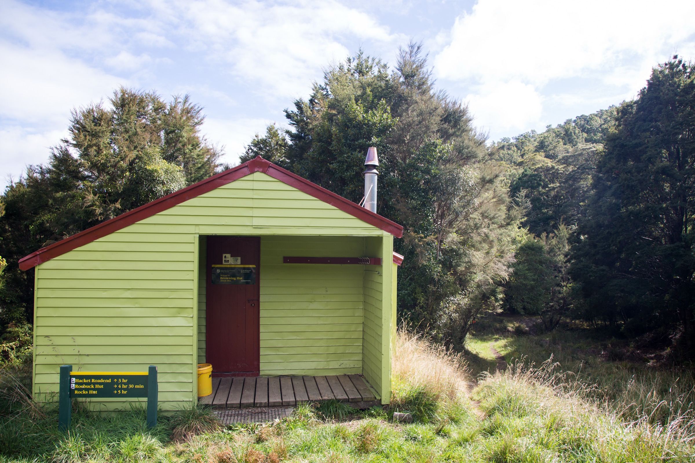
From the Wairoa Gorge road end, follow the route and forestry-road approach along the Wairoa River corridor to Mid Wairoa Hut, the junction point for the Alpine Route and the Red Hills Route.
Why it is essential
This is the main road-access route into the Wairoa sector and the practical gateway to both the Alpine and Red Hills traverses — every other section in this entry ultimately depends on it.
Equipment
- Full backcountry tramping kit
- Map, compass and offline GPS
- Emergency shelter
- Headlamp with spare batteries
- Warm and waterproof clothing
- Personal Locator Beacon
- River judgement for the corridor above the hut
Hazards and notes
- Rough gravel access road with a locked gate at the road end
- Steep Wairoa sidles on the corridor
- Rivers and streams rise quickly after Marlborough / Tasman rain
- Remoteness and limited cell coverage — carry a beacon
- Exact geometry and elevation are unresolved in the DOC source; plan by the 10 km / 4 h 30 min DOC budget
2. Mid Wairoa Hut to Top Wairoa Hut
Snapshot
Itinerary
Follow the Wairoa River upstream from Mid Wairoa Hut. DOC describes sidling, steep ground, eight river crossings and erosion-related narrow, slippery footholds before the arrival at Top Wairoa Hut.
Why it is essential
This is the core Wairoa Valley day section and the committing link between the Alpine Route exit and the Red Hills high country — the sector’s most physically and technically serious river-crossing route.
Equipment
- Full backcountry tramping kit
- River-crossing skills — the eight crossings are the defining feature
- Trekking poles
- Map, compass and offline GPS
- Emergency shelter
- Warm and waterproof clothing
- Personal Locator Beacon
Hazards and notes
- Eight river crossings — do not attempt during heavy rain, the river rises quickly
- Steep sidles on the corridor
- Erosion, narrow footholds and slippery ground — DOC’s own warning
- Elevation data unresolved in the DOC source; plan by the 8 km / 4 h 30 min DOC budget
3. Top Wairoa Hut to Hunters Hut via Mt Ellis
Snapshot
Itinerary
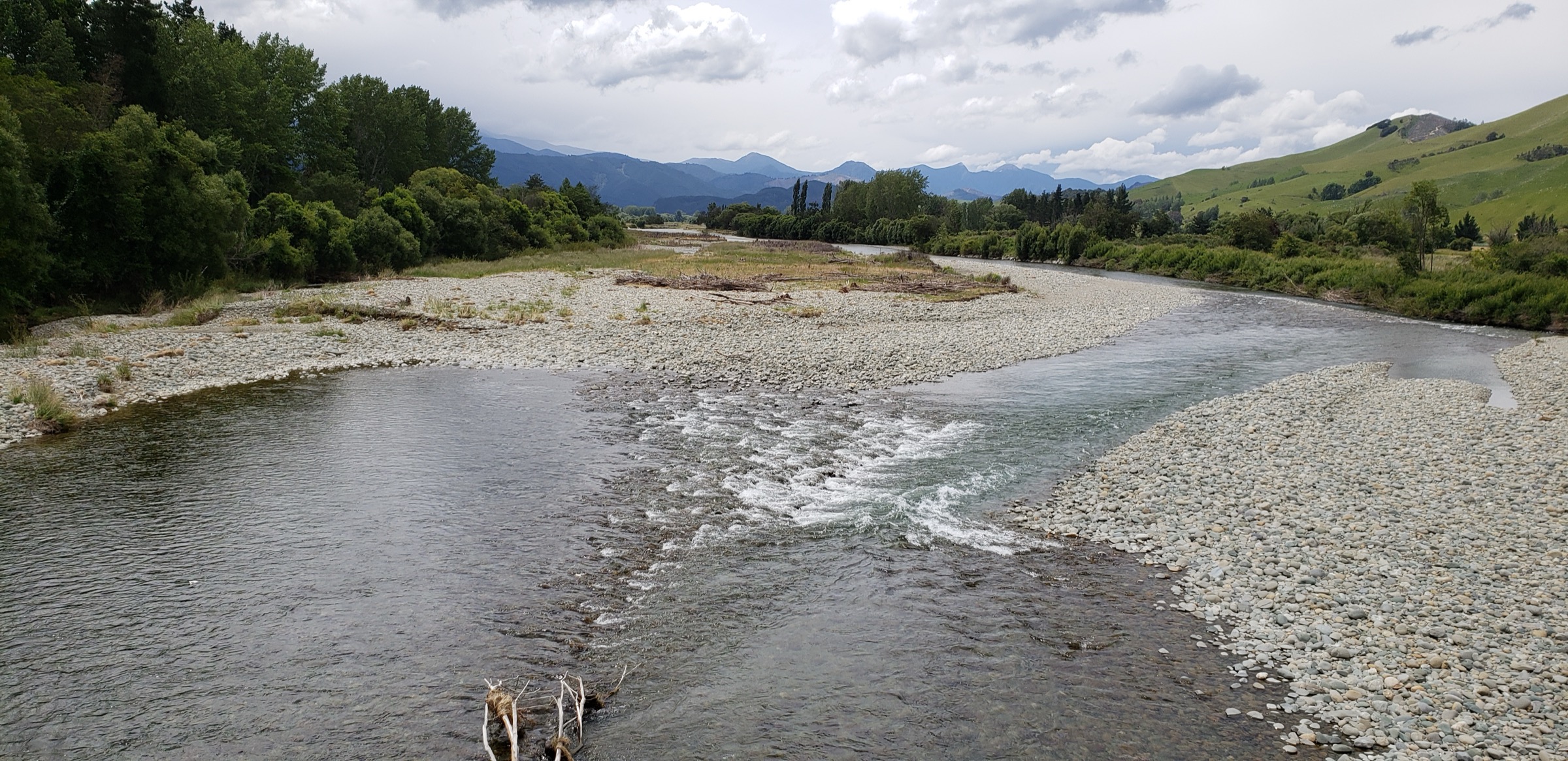
Climb from the Top Wairoa valley to Mt Ellis (1,615 m), then descend toward the left branch of the Motueka River, cross it unbridged, and climb to Hunters Hut.
Why it is essential
This is the main high viewpoint day out of the Wairoa sector — Mt Ellis is the clearest DOC-published summit objective in this part of the route and the section’s alpine day landmark.
Equipment
- Full backcountry tramping kit
- Map, compass and offline GPS
- River-crossing skills for the unbridged Motueka left-branch
- Warm and waterproof clothing, spare warm layer
- Emergency shelter
- Personal Locator Beacon
Hazards and notes
- Alpine vegetation and exposure on Mt Ellis
- Unbridged Motueka crossing below the summit
- Route-finding on the descent
- Remoteness — help is far off in either direction
- Elevation gain and loss are unresolved in the DOC source; only the Mt Ellis 1,615 m summit spot height is published
4. Tarn Hut to Wairoa road end
Snapshot
Itinerary
From Tarn Hut, return to the main ridge and follow the signed descent toward Bushy Top and the Wairoa road end. DOC notes a steep final descent to the left branch of the Wairoa River, arrival near Mid Wairoa Hut, and then the Wairoa River / forestry-road exit to the locked gate at the road end.
Why it is essential
This is the canonical Alpine Route exit into the Wairoa sector and one of the most important day sections for trampers finishing the central Richmond Range traverse.
Equipment
- Full backcountry tramping kit
- Map, compass and offline GPS
- Emergency shelter
- Headlamp — 6–8 h DOC time makes headlamp finishes plausible
- Warm and waterproof clothing
- River judgement for the Wairoa descent
- Personal Locator Beacon
Hazards and notes
- Ridge navigation off Tarn Hut
- Steep descent to the river on the Wairoa side
- Wairoa sidles and river conditions below the descent
- Locked-gate road end at the exit — plan pickup timing
- Distance and elevation are unresolved in the DOC source; plan by the 6–8 h DOC budget
5. Tarn Hut to Goulter road end via Bushy Top
Snapshot
Itinerary
From Tarn Hut, return to the main ridge. At the signed junction before Bushy Top, take the Goulter branch over Bushy Top (1,257 m), descend to the Goulter River opposite Lower Goulter Hut, and continue toward the 4WD road end and the Tiphead Stream road access.
Why it is essential
This is the alternate one-day Alpine Route exit from the Wairoa / Tarn Hut sector — the Bushy Top summit objective and a second way out when Wairoa road-end logistics are unsuitable or the Wairoa side is closed by weather.
Equipment
- Full backcountry tramping kit
- Map, compass and offline GPS
- River-crossing judgement for the unbridged Goulter
- Warm and waterproof clothing
- Headlamp
- Personal Locator Beacon
Hazards and notes
- Unbridged Goulter River below Bushy Top
- Steep descent off the ridge
- Goulter Road access is subject to past washouts and closures — verify current DOC access status
- Vehicles may need to park before Patriarch Station or near Patriarch Stream depending on current status; road-walking may add distance
- Distance, gain and loss are unresolved in the DOC source; plan by the 5–6 h DOC budget plus any road-walking penalty
Missing data / follow-up work
- No direct official GPX or KML downloads were found in this pass. DOC route pages and interactive-map search IDs are the source-route references; GPX creation should be done later from legal source geometry or new field-drawn coordinates.
- DOC does not publish elevation gain, loss or route high points for most of these sections; only the Mt Ellis 1,615 m and Bushy Top 1,257 m spot heights are published in the pages checked.
- Tarn Hut to Wairoa road end distance and the Tarn Hut to Goulter road end full exit distance need to be resolved from a measured GPX or new field data.
- “Wairoa Valley Sector” is not a DOC visitor-area label — the name is a research handle; if the sector is promoted to catalogue-level, a DOC-aligned label such as “Wairoa corridor of Mount Richmond Forest Park” would sit more naturally with the source pages.
- Route-specific licence-compatible imagery for Mt Ellis, the Wairoa river crossings and Bushy Top was not found in this pass. DOC’s own on-page photos exist at 390 px, below the catalogue’s ≥ 2,000 px source floor; the Wikimedia Commons imagery used here is the closest licence- and resolution-compatible substitute at range and river-system level.
Further reading
| Resource | Link |
|---|---|
| DOC — Mount Richmond Forest Park | doc.govt.nz |
| DOC — Mount Richmond Forest Park park access | doc.govt.nz |
| DOC — Alpine Route | doc.govt.nz |
| DOC — Red Hills Route | doc.govt.nz |
| DOC — Richmond Ranges Te Araroa route | doc.govt.nz |
| DOC — Chalice–Goulter Track | doc.govt.nz |
| DOC — copyright and image reuse | doc.govt.nz |
| MetService — Marlborough regional forecast | metservice.com |
| Wikipedia — Richmond Range | en.wikipedia.org |