About this entry
“Northern Richmond Forest Park” is not an official DOC visitor-area label. It is used here to group the day-hike gateways on the Marlborough and northern Tasman side of Mount Richmond Forest Park — the Wairau, Waikakaho, Wakamarina, Pelorus, and Kaituna corridors — into a single essentials article. The southern and eastern sides of the same park are covered by the adjacent Bryant Range guide. Distances and times below draw on DOC track pages; several elevation gains remain unresolved and are flagged as such rather than guessed.
Regional overview
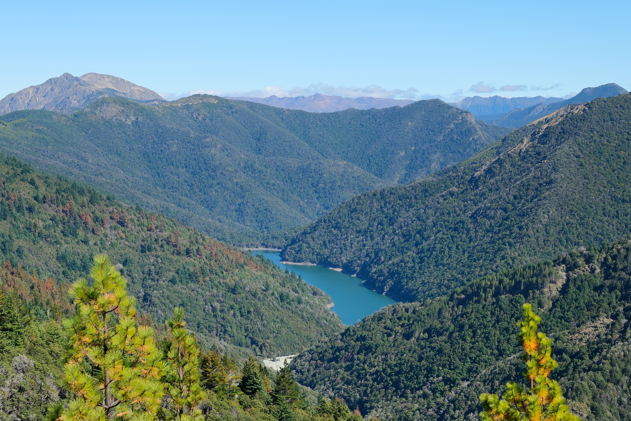
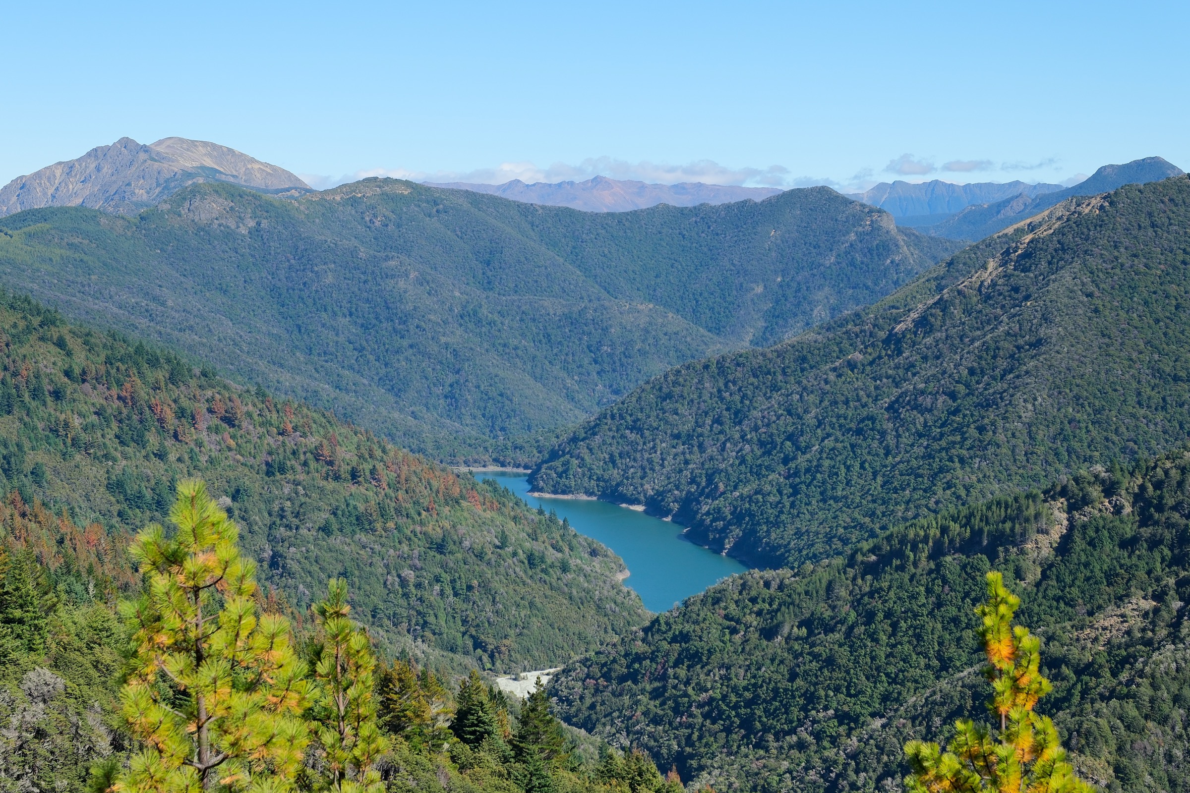
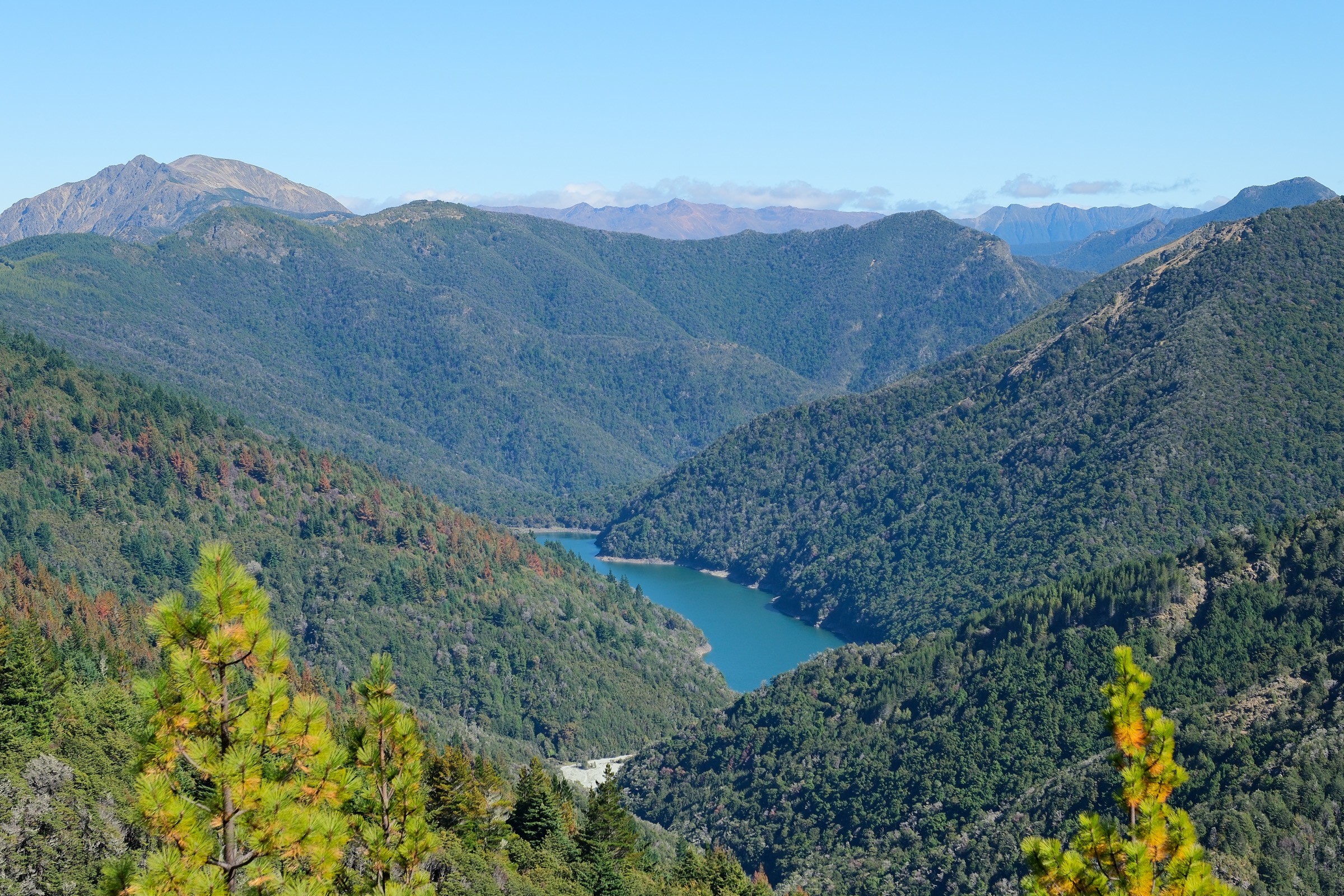
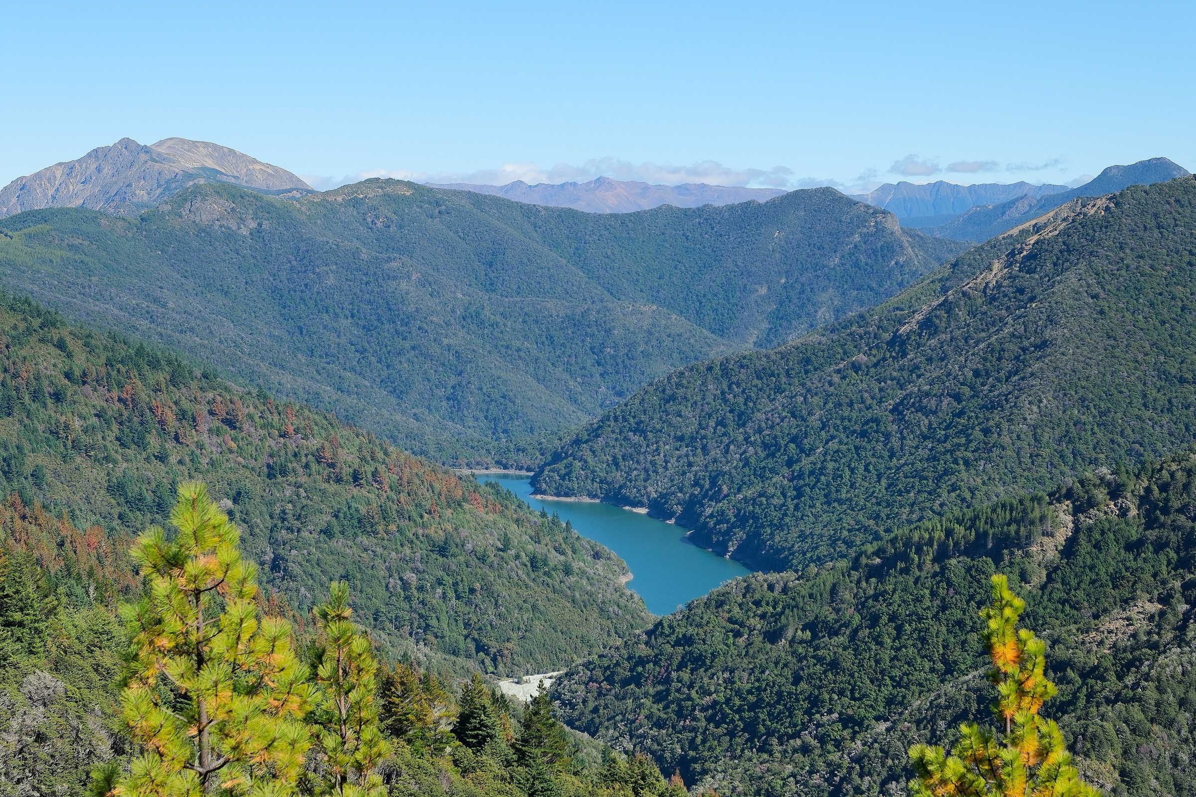
The Richmond Range runs north–south along the Marlborough / Tasman boundary between the Wairau Valley and the Pelorus and Kaituna catchments. Its northern end drops toward Havelock and the Marlborough Sounds; the range’s forested valleys — Wakamarina, Pelorus, Waikakaho, Cullen Creek, and Kaituna — provide the main day-hike access points into Mount Richmond Forest Park.
DOC’s Mount Richmond Forest Park pages describe long tramping tracks, historic gold-mining routes, and hut-based valley walks. Most tracks in the northern half of the park are unsealed valley or ridge tramping routes with unbridged creek crossings; some are shared with mountain bikers on legacy sections. Weather changes fast in the range, and several of the walks below carry high-water and slip risk after rain.
Access is from Blenheim via the Wairau and Waikakaho valleys, from Havelock via Canvastown and the Wakamarina and Pelorus valleys, and from Nelson via the Rai and Kaituna corridors.
Selection rationale
These five hikes cover the northern Mount Richmond essentials: the paired Forks and Riverside walks as the low-level goldfield introduction on the Northbank–Wairau side, the Waikakaho / Cullen Creek Track as the range-crossing option between two mining valleys, the Wakamarina Track as the strongest historic gold-route day walk, the Pelorus Track to Emerald Pool and Captains Creek Hut as the classic Te Hoiere / Pelorus valley day, and the Mt Sunday / Mt Riley Track as the best-known northern summit loop above the Kaituna. Together they cover the range’s main access corridors, its heritage lines, and its most-walked northern summit day.
Summary table
| # | Hike | Country | Route type | Distance | Max elevation | Difficulty |
|---|---|---|---|---|---|---|
| 1 | Forks Walk and Riverside Walk | New Zealand | Out-and-back | 4 km + 5 km return options | Not published | Easy–intermediate |
| 2 | Waikakaho–Cullen Creek Track | New Zealand | Traverse | 15 km one way | Not published | Advanced |
| 3 | Wakamarina Track — Butchers Flat to Devils Creek Hut and Doom Track | New Zealand | Out-and-back | Day-section distance not published | Not published | Advanced |
| 4 | Pelorus Track — Emerald Pool and Captains Creek Hut | New Zealand | Out-and-back | Day-section distance not published | Not published | Advanced |
| 5 | Mt Sunday / Mt Riley Track | New Zealand | Loop | 15 km | ~1,311 m at Mt Riley | Advanced |
Before you go
Permits and access
All five routes lie within or immediately adjacent to Mount Richmond Forest Park; day walking does not require a permit. The Wakamarina and Pelorus catchments carry historic mining, ecological, and water-supply values — check DOC signage for current dog rules and any temporary closures before setting out. The Waikakaho–Cullen Creek Track crosses private-land approaches at both ends; use the marked accesses only.
Standard northern Richmond day-hiking kit
The valley walks are damp beech-and-podocarp forest with unbridged crossings; the ridge routes are exposed to rapid weather change. Carry:
- Sturdy boots or strong trail shoes, waterproof and windproof shell, warm insulating layer, hat and sun cover, and food.
- Map and compass with GPS backup; several tracks lose definition through slip terrain and old-mining ground.
- Personal locator beacon (PLB); mobile coverage is patchy in the Wairau, Wakamarina, Pelorus, and Kaituna valleys and absent above the bushline.
- Headtorch, first aid, and emergency shelter for the longer traverses and the Mt Riley summit day.
- Trekking poles help at creek crossings and on the steep pinch-climbs on the Wakamarina and Mt Sunday sections.
Common hazards
Creek crossings and slip terrain are the main day-hike risks. The Wakamarina and Pelorus tracks have unbridged crossings that become impassable in flood. The Waikakaho–Cullen Creek Track crosses long forested distances with limited water and no reliable exit between trailheads. The Mt Riley ridge is exposed to wind, cold, and rapid weather change; navigation and shelter planning are essential. Old-mining ground on the Wakamarina line includes shafts and loose spoil — treat mine relics as heritage features, not entry points.
1. Forks Walk and Riverside Walk
Snapshot
Itinerary
From the Northbank Road access, the Riverside Walk runs 5 km return along an old miners’ route past gold tailings and the Wellington mine battery site; the Forks Walk runs 4 km return to Whiteheads Clearing, where stacked stones remain from the mining era. DOC notes a marked route beyond Whiteheads toward Old Man Hut, but that longer objective sits outside this day-hike entry.
Why it is essential
Together these two short walks are the low-level historic introduction to the northern Mount Richmond goldfield landscape — useful when higher routes are wet, windy, or closed.
Hazards and notes
- Rivers can rise quickly; do not cross swollen rivers.
- Treat drinking water taken from streams.
- Access road may be closed by fire danger or forestry operations; check DOC park-access status.
- No licence-compatible route-specific image was located for this entry above the resolution floor.
GPX / KML links
| Source | URL | Format | Notes |
|---|---|---|---|
| DOC Forks Riverside Walk | doc.govt.nz | Official route page | DOC website terms; no direct GPX found |
| DOC Mount Richmond Forest Park | doc.govt.nz | Park overview | DOC website terms |
Further reading
2. Waikakaho–Cullen Creek Track
Snapshot
Itinerary
From the Waikakaho side, cross private-access farm country and climb through regenerating forest toward Village Clearing, a former quartz-mining settlement site. Continue over Waikakaho Saddle, then descend the rougher Cullen Creek side past stone chimneys, hut remains, steep sidles, Prospector Creek, and the old Cullensville mining area.
Why it is essential
The northern sector’s strongest cultural / historical day route — a range crossing that links two old gold-mining valleys across the forest-park boundary.
Hazards and notes
- Unbridged waterways at both road ends and in the tributaries into Cullen Creek; avoid during or after heavy rain.
- Steep lower Cullen Creek terrain and rougher track north of the saddle.
- Mine shafts along the route — do not enter shafts or tunnels.
- Private-land access rules apply at both trailheads; use the marked entries only.
- No licence-compatible route-specific image was located for this entry above the resolution floor.
GPX / KML links
| Source | URL | Format | Notes |
|---|---|---|---|
| DOC Waikakaho / Cullen Creek Track | doc.govt.nz | Official route page | DOC website terms; no direct GPX found |
| DOC interactive map (Walking and Tramping ID) | doc.govt.nz | Source-map geometry reference | DOC website terms |
Further reading
3. Wakamarina Track — Butchers Flat to Devils Creek Hut and Doom Track
Snapshot
Itinerary
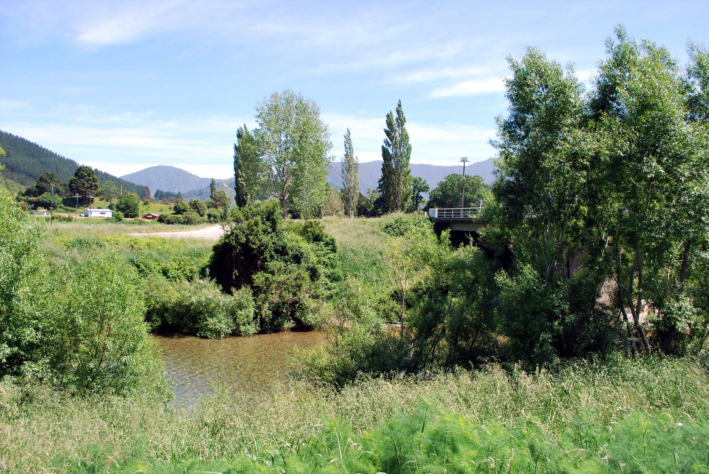
From the Havelock / Butchers Flat end, follow the main Wakamarina Track upstream above the river to Devils Creek Hut. Add the Doom Track side trip near Doom Creek if time and stream conditions allow — DOC describes Doom Track as a benched mining-era water-race route serving the Golden Bar Claim area.
Why it is essential
The northern sector’s best blend of river valley, beech forest, goldfield history and hut objective — without committing to the full 45 km shared-use route.
Hazards and notes
- Rough track, unbridged creeks, and shared-use mountain-bike traffic.
- Old mine shafts and loose spoil piles around the Doom Track area; treat as heritage, not entry points.
- Access-road fords near Butchers Flat can be impassable at high flow.
GPX / KML links
| Source | URL | Format | Notes |
|---|---|---|---|
| DOC Wakamarina Track | doc.govt.nz | Official route page | DOC website terms; no direct GPX found |
| DOC interactive map (Walking and Tramping ID) | doc.govt.nz | Source-map geometry reference | DOC website terms |
Further reading
4. Pelorus Track — Emerald Pool and Captains Creek Hut
Snapshot
Itinerary
Follow Te Hoiere / Pelorus River upstream from the Mt Richmond Road car park. Emerald Pool is reached after about one hour and is the most realistic short day objective; fit parties can continue as the track climbs away from the river and returns toward Captains Creek Hut.
Why it is essential
The key Pelorus / Te Hoiere forest-river approach into Mount Richmond Forest Park — a Te Araroa-linked route with clear swimming, picnic and hut objectives.
Hazards and notes
- River crossings and bridges further along the track; steep climbs on later sections.
- DOC flags washed-out and unstable ground on the wider Pelorus route.
- Swimming at Emerald Pool depends on level and clarity; check flow before entering.
- No licence-compatible route-specific image was located for this entry above the resolution floor.
GPX / KML links
| Source | URL | Format | Notes |
|---|---|---|---|
| DOC Pelorus Track | doc.govt.nz | Official route page | DOC website terms; no direct GPX found |
| DOC interactive map (Walking and Tramping ID) | doc.govt.nz | Source-map geometry reference | DOC website terms |
Further reading
5. Mt Sunday / Mt Riley Track
Snapshot
Itinerary
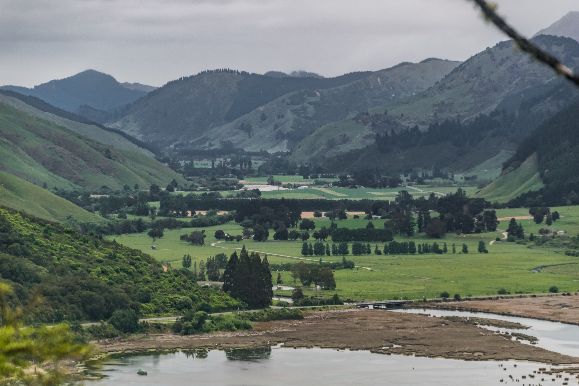
Climb steep forest ridges from the trailhead, cross the small open tops of Mt Riley and Mt Sunday, pass near Mt Sunday Bivvy, and descend by the loop. DOC describes views over the Kaituna Valley and Wairau Plains.
Why it is essential
The best verified northern / eastern summit loop in the range — a full-day advanced tramp that reaches open tops without becoming a multi-day traverse.
Hazards and notes
- Steep bush ridges, exposed open tops, and rapid weather change with possible low visibility.
- Forestry operations can close access roads; check DOC park-access status before departure.
- Long climb with limited water; carry more than the valley walks require.
GPX / KML links
| Source | URL | Format | Notes |
|---|---|---|---|
| DOC Mt Sunday / Mt Riley Track | doc.govt.nz | Official route page | DOC website terms; no direct GPX found |
| DOC interactive map (Walking and Tramping ID) | doc.govt.nz | Source-map geometry reference | DOC website terms |
Further reading
Verification notes
- “Northern Richmond Forest Park” is a regional grouping used in this catalogue, not an official DOC visitor-area label. DOC’s own signage refers to the wider Mount Richmond Forest Park.
- Verification date: 2026-07-04. DOC track pages, the Mount Richmond Forest Park page and its park-access page were the primary sources for distances, times, and difficulty grades; several elevation gains, losses and maximum elevations are not published by DOC and are flagged as such rather than guessed.
- No direct GPX / KML downloads were located in this pass. The DOC interactive map has been listed as a source-map geometry reference for the Waikakaho / Cullen Creek, Wakamarina, Pelorus and Mt Sunday / Mt Riley routes; GPX creation should be done later from legal source geometry or field-drawn coordinates.
- Per DOC’s copyright page, material not marked third-party is reusable under CC BY 4.0, and images labelled “DOC” are reusable commercially with attribution. Third-party images marked copyright, CC BY-NC, or CC BY-NC-ND are treated here as not licence-compatible for this catalogue — DOC gallery images on the Mt Sunday / Mt Riley page are labelled CC BY-NC 4.0 and are therefore excluded.
- Trailhead public-transport options were not confirmed for any of the five routes; treat all five as private-vehicle or shuttle access.
Companion guides
- New Zealand — Southern Bryant Range: essential day-hikes — the adjacent Bryant Range gateway into Mount Richmond Forest Park from Nelson and Richmond.
Further reading
| Source | URL |
|---|---|
| DOC Mount Richmond Forest Park | doc.govt.nz |
| DOC Mount Richmond Forest Park park-access status | doc.govt.nz |
| DOC Forks / Riverside Walk | doc.govt.nz |
| DOC Waikakaho / Cullen Creek Track | doc.govt.nz |
| DOC Wakamarina Track | doc.govt.nz |
| DOC Pelorus Track | doc.govt.nz |
| DOC Mt Sunday / Mt Riley Track | doc.govt.nz |
| Wikipedia — Richmond Range | en.wikipedia.org |
| Wikipedia — Mount Richmond Forest Park | en.wikipedia.org |
| Wikipedia — Pelorus River | en.wikipedia.org |