Regional overview
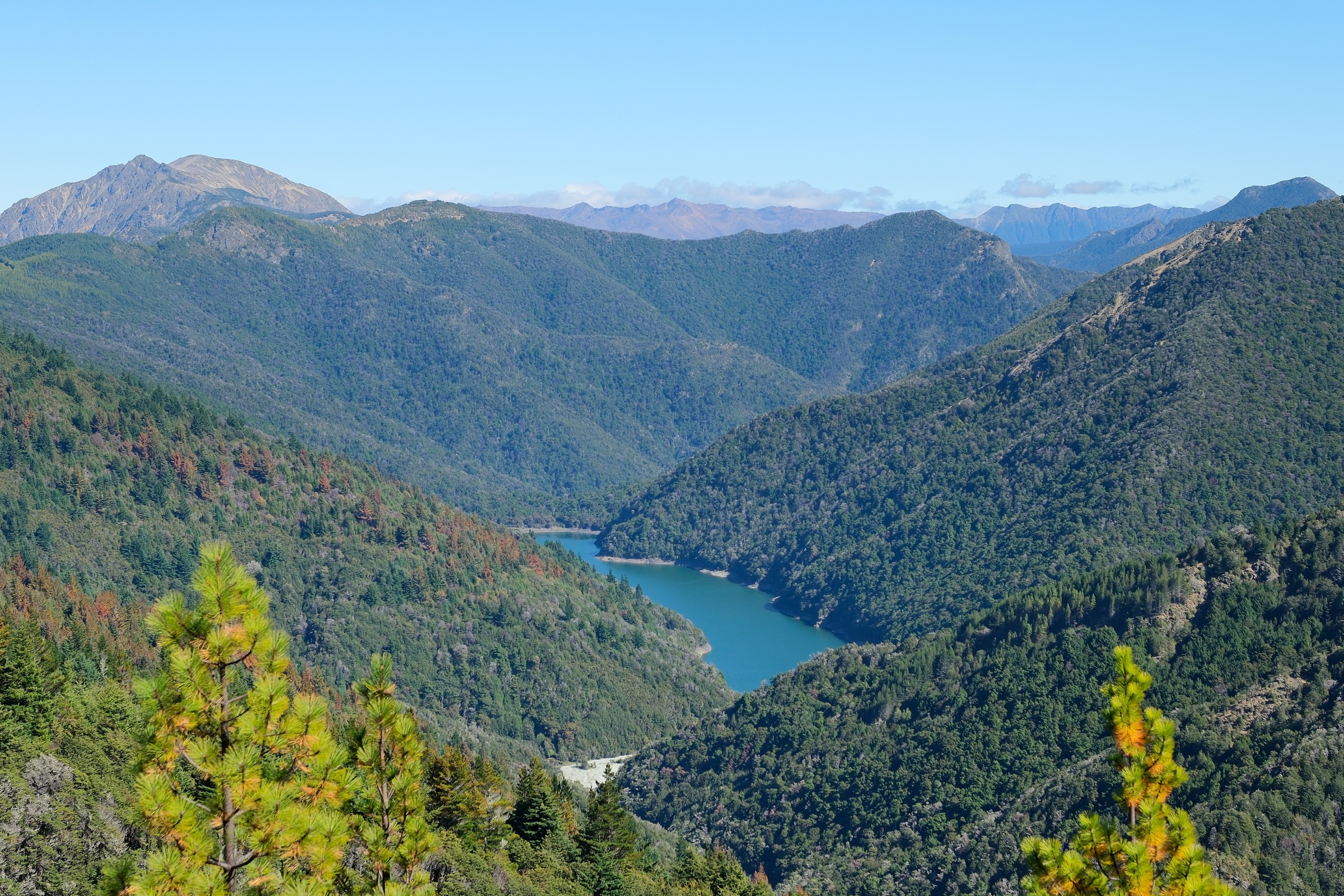
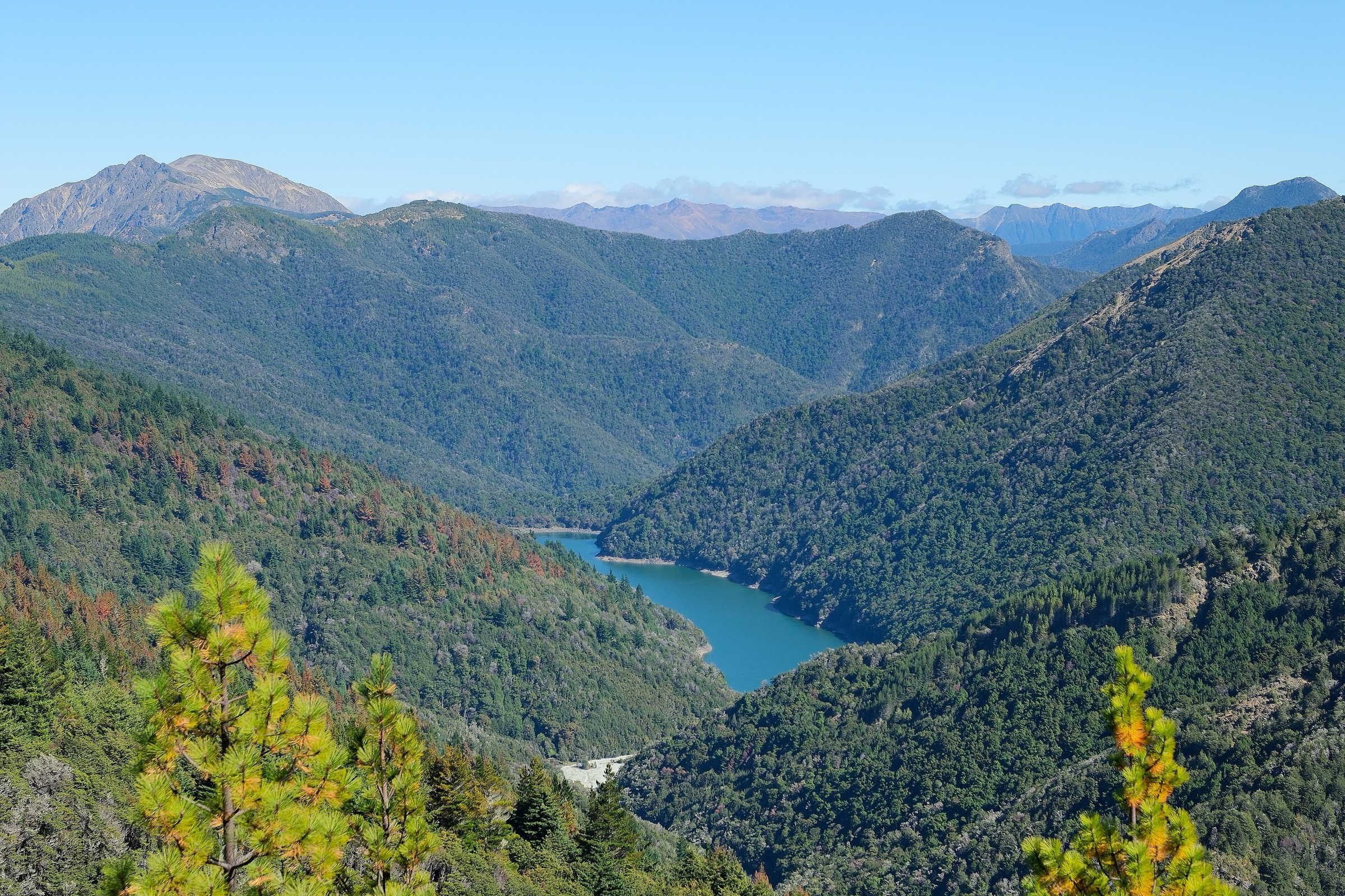
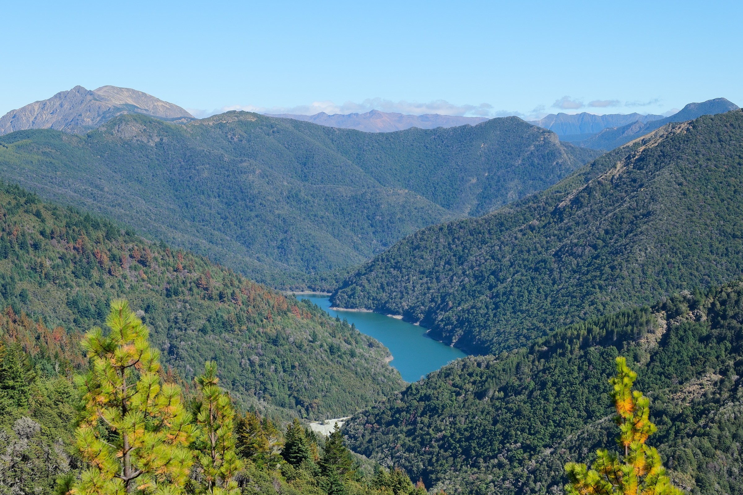
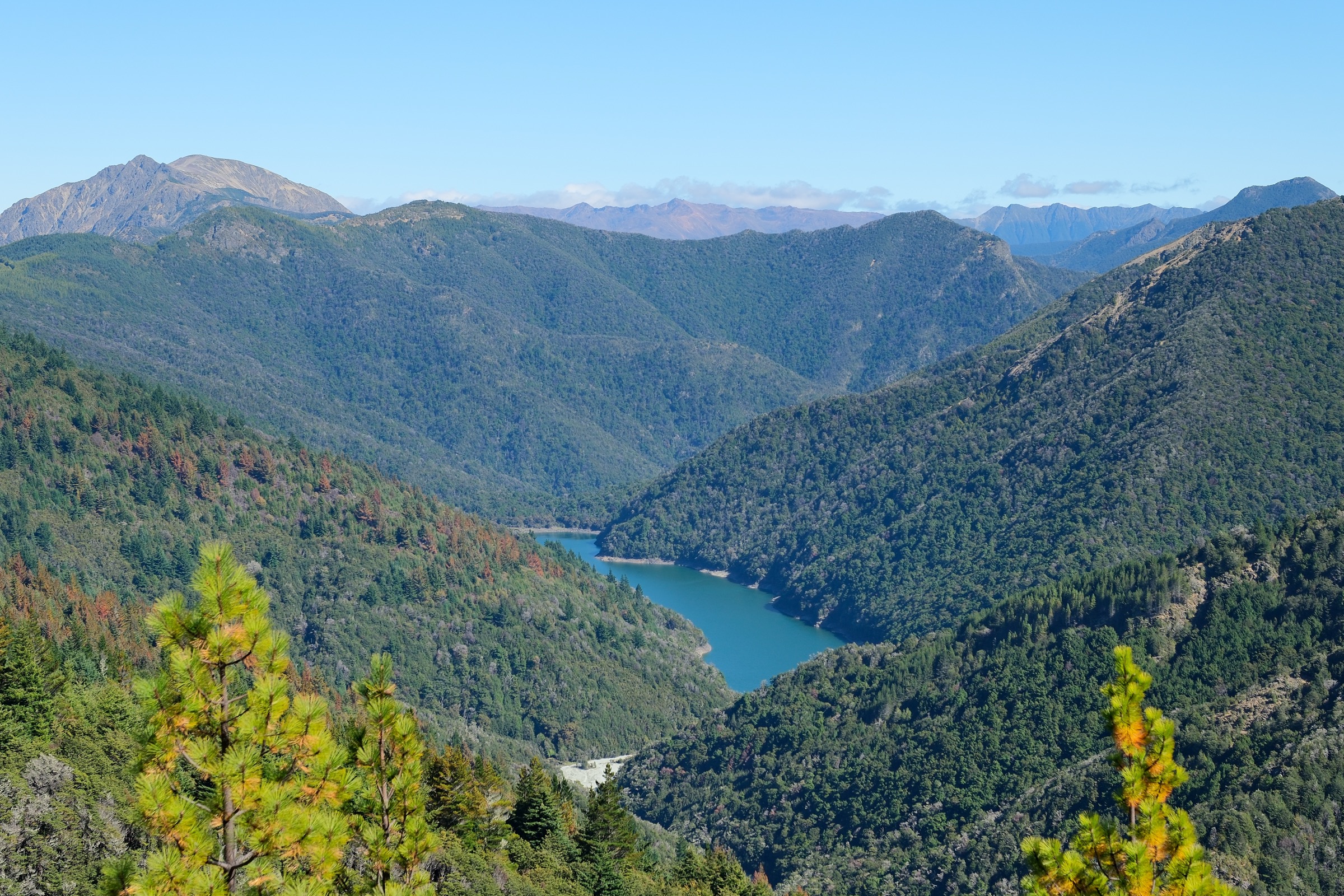
“Southern Richmond Range” is not a DOC visitor-area label. In this entry it is interpreted as the Red Hills, Beebys Knob, Tophouse / SH63, and upper Motueka-side corridor of Mount Richmond Forest Park — the open, remote, ultramafic country at the Nelson Lakes / Marlborough boundary. DOC’s Red Hills Route page grades the wider route as expert and warns about unformed terrain, unbridged river crossings, freezing temperatures, wind, and snow in alpine sections. Several tracks are shared with mountain bikes.
Three of the five records below are Red Hills Route hut-to-hut day sections. They are separated because a full traverse of the range is a multi-day tramp; catalogue users travelling as day-length parties will typically pick one section as their objective, or link two by a supported traverse.
Summary table
| # | Hike | Route type | Distance | Time (DOC) | Max elevation | Difficulty | Verification |
|---|---|---|---|---|---|---|---|
| 1 | Beebys Knob – Red Hills shared-use circuit | Shared-use circuit / long day | ~23.5 km | 4–6 hr (MTB); walking longer | ~1,300 m on the ridge | Expert (MTB grade 5; on foot expert shared-use) | DOC route + map ID; walking time unresolved |
| 2 | Red Hills Hut from SH63 / Six Mile car park | Out-and-back hut day | ~14 km return | 6 hr return | Not published | Expert-route context; road / track section | DOC distance and time verified |
| 3 | Red Hills Route: Porters Creek Hut to Red Hills Hut | Point-to-point hut section | 11 km | 5 hr | Not published | Expert; hut-to-hut | DOC distance and time verified |
| 4 | Red Hills Route: Hunters Hut to Porters Creek Hut | Point-to-point hut section | 9 km | 3 hr | Not published | Expert; hut-to-hut | DOC distance and time verified |
| 5 | Top Wairoa Hut to Hunters Hut via Mt Ellis | Point-to-point alpine hut section | 12 km | 6 hr | 1,615 m (Mt Ellis) | Expert; alpine | DOC distance, time, and Mt Ellis elevation verified |
Before you go
Access
Vehicle access is from SH63 between St Arnaud and the Wairau Valley. The Beebys Knob / Red Hills circuit trailhead is on the southern Tophouse Road turn-off about 8 km from St Arnaud; the Red Hills Hut access is signed “Access to Red Hills Route” from a Six Mile car park on SH63. Do not cross the locked gate into adjoining private land. The interior Red Hills Route sections (records 3–5) are hut-to-hut and require prior approach or exit logistics — they are not casual road-end day walks.
Standard kit
- Full backcountry tramping kit: boots, waterproof / windproof shell, warm layer, food, water, map / GPS, and a PLB. Headlamp for the longer sections.
- River-crossing competence for the unbridged Motueka crossings on records 3 and 5.
- Warm layers year-round: the alpine sections can see freezing temperatures, wind, and snow at any time.
Common hazards
Unformed terrain, unbridged river crossings, exposed alpine ground, weather change, and shared-use bike traffic on the Beebys / Red Hills circuit are all in play. DOC’s own Red Hills grading is expert. Do not attempt records 3–5 in high rivers or unstable weather, and turn round if the alpine section (record 5) is under snow or in poor visibility.
1. Beebys Knob – Red Hills shared-use circuit
Snapshot
Itinerary
Climb from Tophouse Road on the 4WD road and the Wots up Doc line to the ~1,300 m area near Maitland Ridge. Options include continuing to Beebys Hut or following Maitland Ridge toward Red Hills Hut, then using the Red Hills / Six Mile / Tophouse road link to close the circuit.
Why it is essential
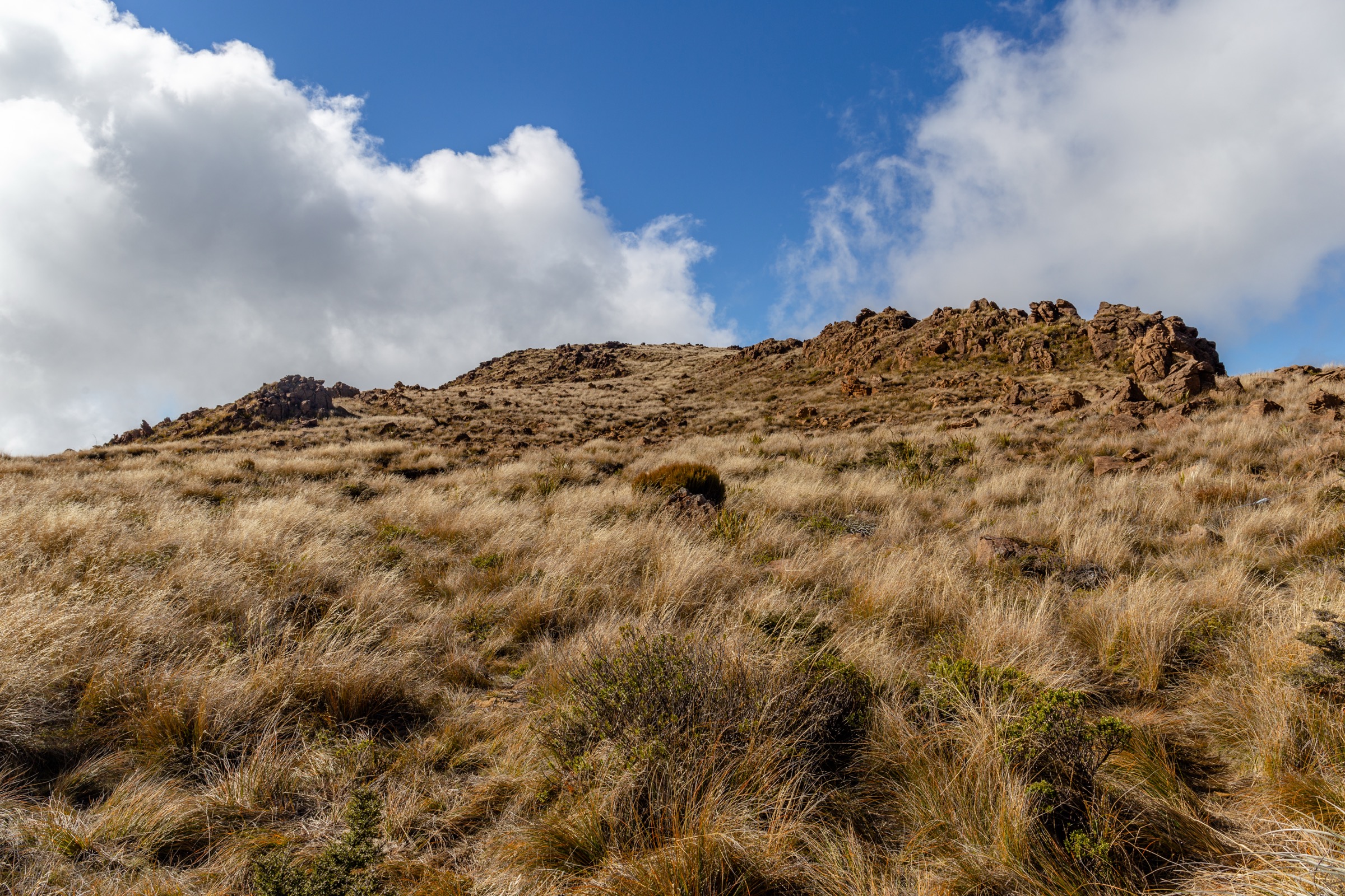
It is the main southern high-country circuit — Beebys Knob, Red Hills, tussock tops, beech forest, and views over the Rainbow and Wairau valleys.
Hazards and notes
- Technical narrow track, steep descents if biking, remote high terrain, no reliable water supply.
- Shared-use traffic — expect mountain bikes at speed on the descents.
- Cell coverage is unreliable; carry a PLB.
GPX / KML links
| Source | URL | Format | Notes |
|---|---|---|---|
| DOC Beebys Knob – Red Hills mountain-bike track | doc.govt.nz | Official route page | DOC website terms; no direct GPX / KML published |
| DOC interactive map — walking / tramping ID | doc.govt.nz | Official map search | DOC website terms; source geometry only |
| OpenStreetMap: Beebys Knob area | openstreetmap.org | OSM area | ODbL; attribution required |
Further reading
2. Red Hills Hut from SH63 / Six Mile car park
Snapshot
Itinerary
From the highway-side access, follow orange markers across grassy flats and then the 4WD road / track toward Red Hills Hut. Do not cross the locked gate into private land.
Why it is essential
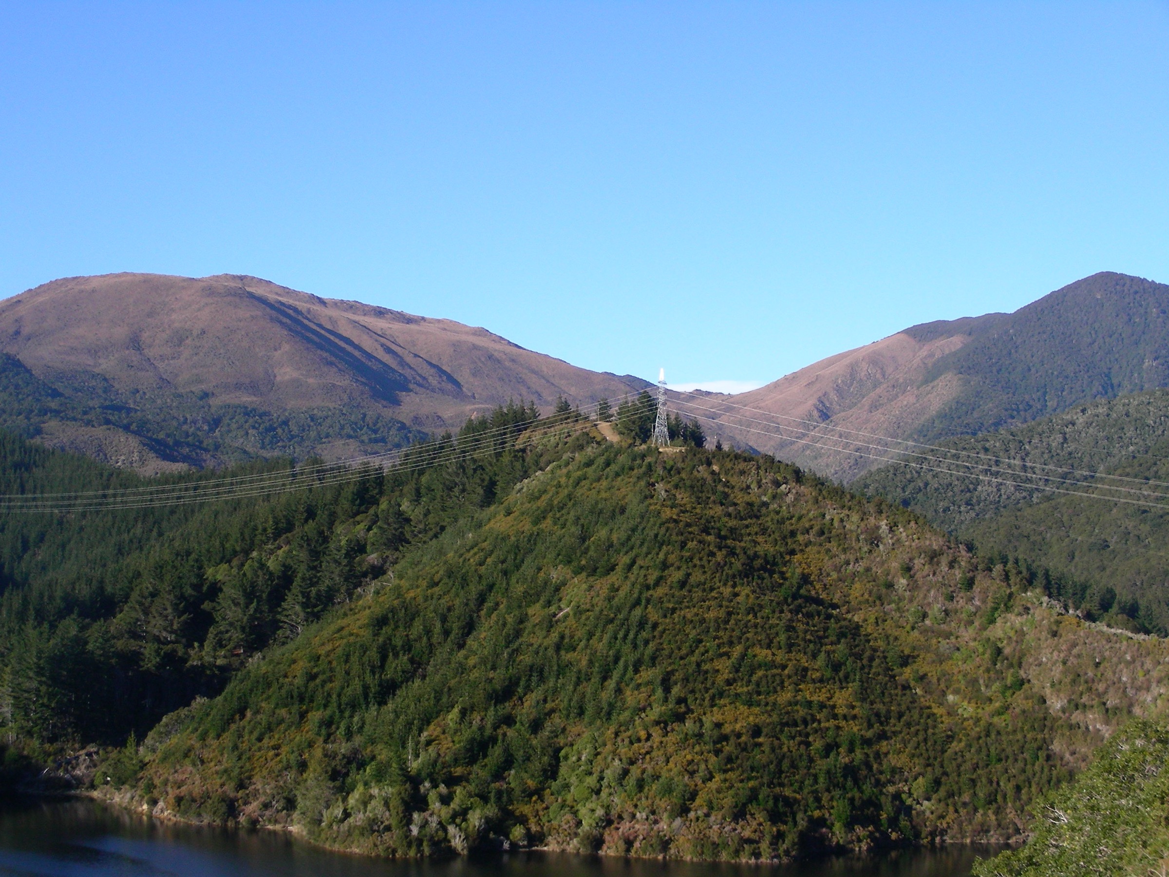
It is the most direct day access to the Red Hills ultramafic country and the southern end of the Richmond Range Te Araroa corridor.
Hazards and notes
- Private-land boundary — respect the locked gate.
- Remoteness and weather exposure even on this “easier” southern end.
- Shared-use tracks; expect the odd mountain bike.
GPX / KML links
| Source | URL | Format | Notes |
|---|---|---|---|
| DOC Red Hills Route | doc.govt.nz | Official route page | DOC website terms; no direct GPX / KML published |
| DOC interactive map — walking / tramping ID | doc.govt.nz | Official map search | DOC website terms; source geometry only |
| OpenStreetMap: Red Hills / Six Mile access | openstreetmap.org | OSM area | ODbL; attribution required |
Further reading
3. Red Hills Route: Porters Creek Hut to Red Hills Hut
Snapshot
Itinerary
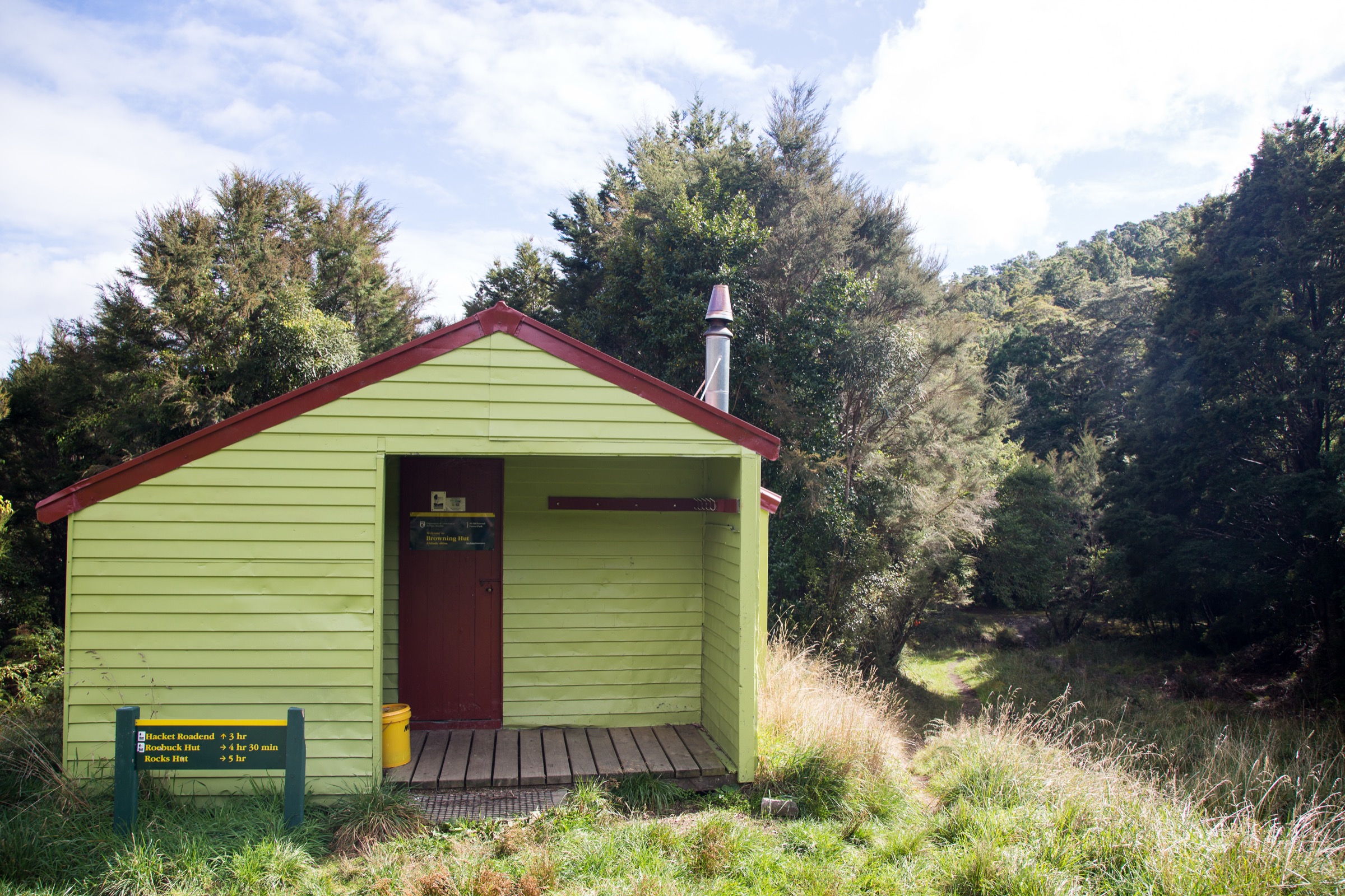
Descend from Porters Creek Hut into Lowther Creek, climb to a low saddle, sidle to the right branch of the Motueka River, make an unbridged river crossing, then continue by sidles and climbs to Red Hills Hut.
Why it is essential
A compact southern Richmond day section that directly traverses the Red Hills ultramafic landscape and connects to SH63 access at Red Hills Hut.
Hazards and notes
- Unbridged Motueka River crossing — do not attempt in high flow.
- Sidling terrain and route-finding through gullies.
- Remote travel with no casual bailout.
GPX / KML links
| Source | URL | Format | Notes |
|---|---|---|---|
| DOC Red Hills Route | doc.govt.nz | Official route page | DOC website terms; no direct GPX / KML published |
| DOC interactive map — walking / tramping ID | doc.govt.nz | Official map search | DOC website terms; source geometry only |
Further reading
4. Red Hills Route: Hunters Hut to Porters Creek Hut
Snapshot
Itinerary
From Hunters Hut, follow the route as it sidles in and out of gullies along the edge of the Red Hills ultramafic area before reaching Porters Creek Hut.
Why it is essential
A shorter southern Richmond day section that samples the distinctive geology and vegetation without the longer climbs of adjoining sections.
Hazards and notes
- Remote sidles and gullies with limited access.
- No casual bailout — plan the section in the context of the whole Red Hills Route.
Photo status
No licence-compatible section-specific image was found in this pass. The Dun Mountain images used above are the closest available representation of the ultramafic landscape crossed on this section.
GPX / KML links
| Source | URL | Format | Notes |
|---|---|---|---|
| DOC Red Hills Route | doc.govt.nz | Official route page | DOC website terms; no direct GPX / KML published |
| DOC interactive map — walking / tramping ID | doc.govt.nz | Official map search | DOC website terms; source geometry only |
Further reading
5. Top Wairoa Hut to Hunters Hut via Mt Ellis
Snapshot
Itinerary
Climb from Top Wairoa Hut through alpine vegetation to Mt Ellis, then descend to the left branch of the Motueka River, follow the river, cross it unbridged, and climb to Hunters Hut.
Why it is essential
The best official Red Hills summit-view day section: Mt Ellis opens up broad views toward Tasman Bay and across the Red Hills.
Hazards and notes
- Alpine exposure — snow, wind, and poor visibility can all be serious near the Mt Ellis high point.
- Unbridged Motueka River crossing on the descent.
- Route-finding and remote terrain.
Photo status
No licence-compatible Mt Ellis-specific image was found in this pass. The Lake Chalice / Mt Patriarch cover panorama and the Dun Mountain images above are the closest available representations of the southern Richmond alpine landscape.
GPX / KML links
| Source | URL | Format | Notes |
|---|---|---|---|
| DOC Red Hills Route | doc.govt.nz | Official route page | DOC website terms; no direct GPX / KML published |
| DOC interactive map — walking / tramping ID | doc.govt.nz | Official map search | DOC website terms; source geometry only |
Further reading
Verification notes
- All five distances and DOC-published walking times come from official DOC route pages. Where DOC does not publish elevation gain, loss, or maximum elevation, the fields are marked “Not published by DOC” rather than filled from secondary sources.
- The Beebys Knob – Red Hills page is DOC MTB-focused; the walking / tramping map layer covers the same corridor but DOC does not publish a walking time for the circuit. Treat the 4–6 hr figure as MTB-only.
- The DOC hero images referenced in the source draft (Beebys view 1920 and Wairoa Richmond Ranges 1200) fall below the site’s minimum source-resolution floor (1066×600 and 1200×783 respectively) and were replaced with Commons landscape images that represent the same Dun Mountain Ophiolite Belt / Red Hills character.
- Records 4 and 5 have no licence-compatible section-specific image on Wikimedia Commons at this pass; that is called out inline and the closest representative landscape image is referenced instead.
- No direct GPX or KML downloads were found. DOC route pages plus their
Walking and Tramping:<id>map search URLs are the source-route references; any GPX creation should be done later from a legal source geometry or from new field-drawn coordinates.
Further reading
| Source | URL |
|---|---|
| DOC Mount Richmond Forest Park | doc.govt.nz |
| DOC Mount Richmond Forest Park — park access | doc.govt.nz |
| DOC Red Hills Route | doc.govt.nz |
| DOC Beebys Knob – Red Hills MTB track | doc.govt.nz |
| DOC copyright / image reuse | doc.govt.nz |
| Wikipedia — Mount Richmond Forest Park | en.wikipedia.org |
| Wikipedia — Richmond Range | en.wikipedia.org |