Regional overview
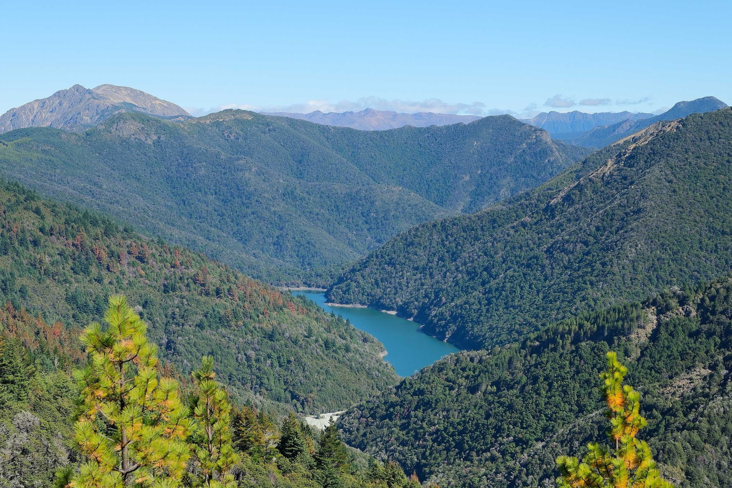
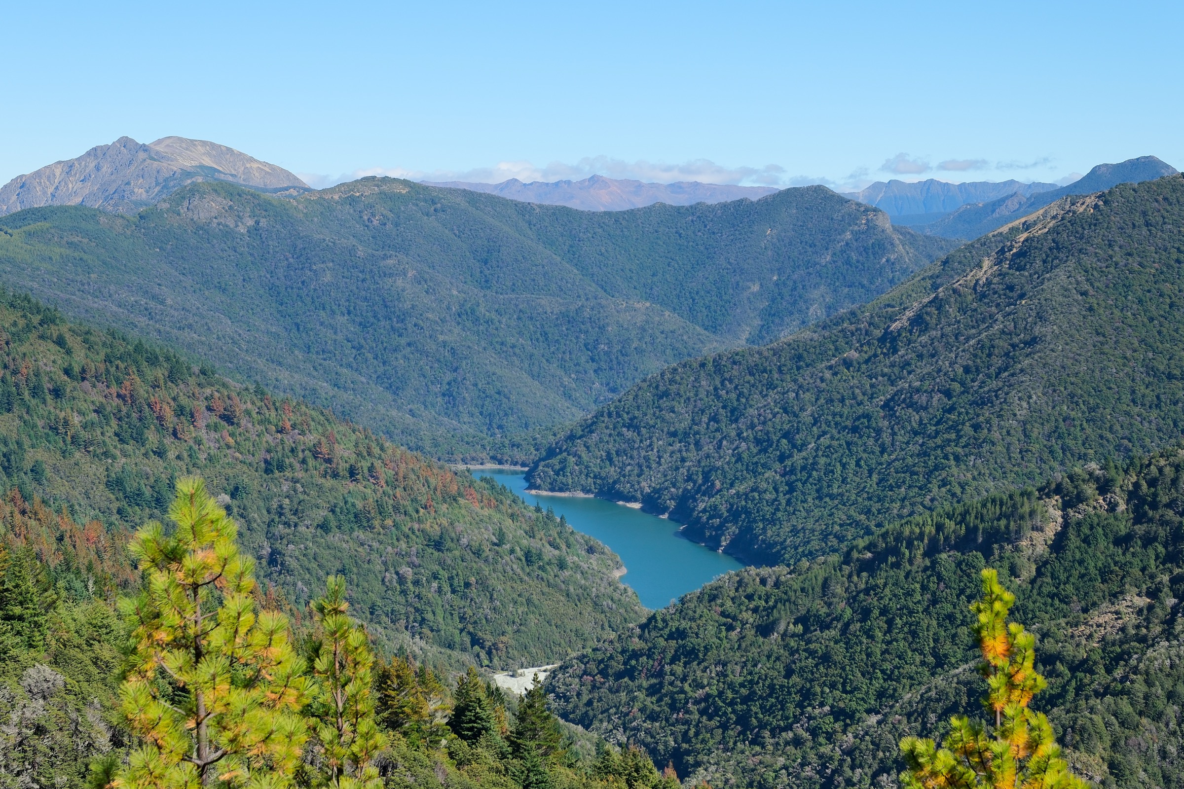
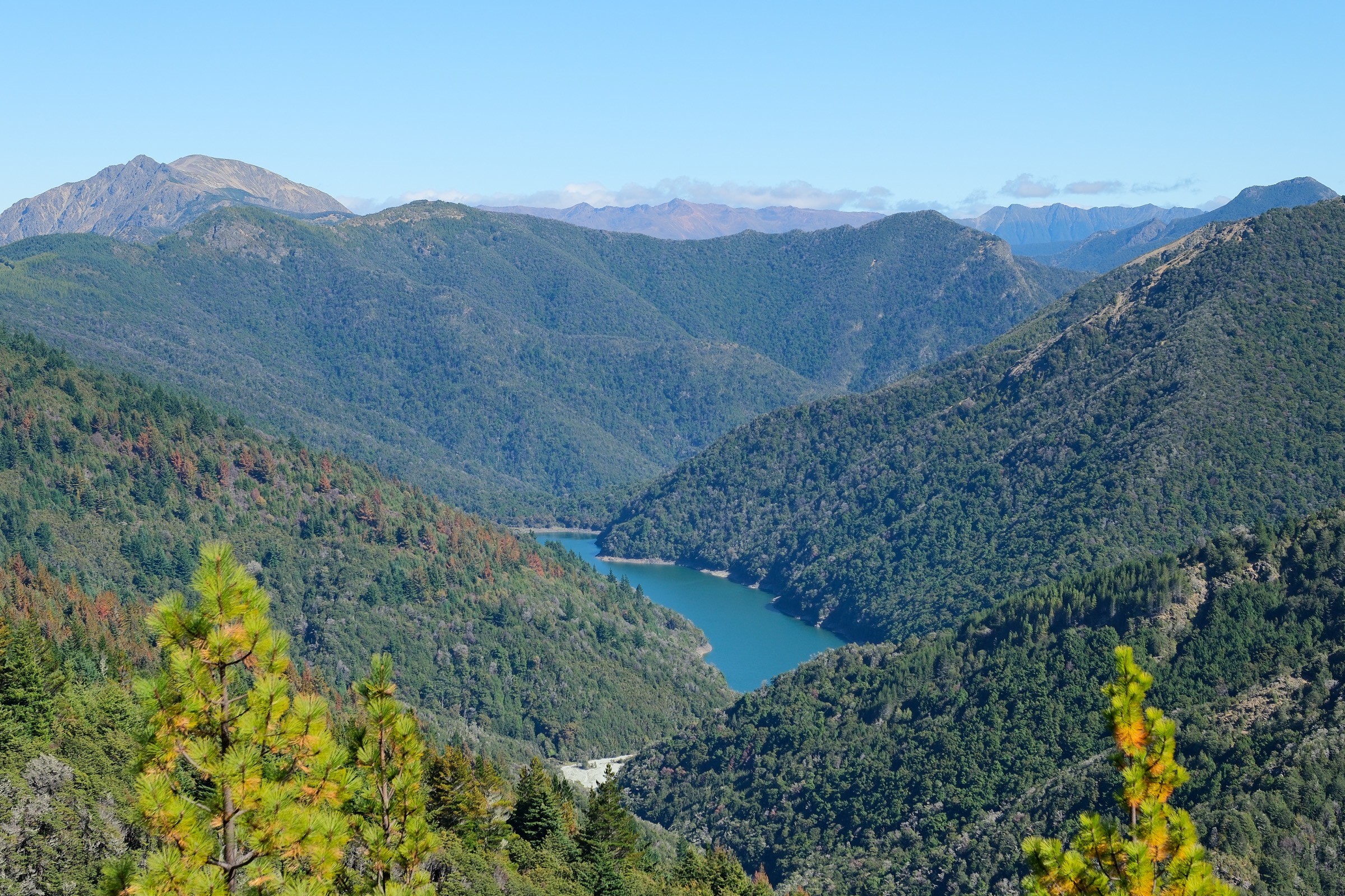
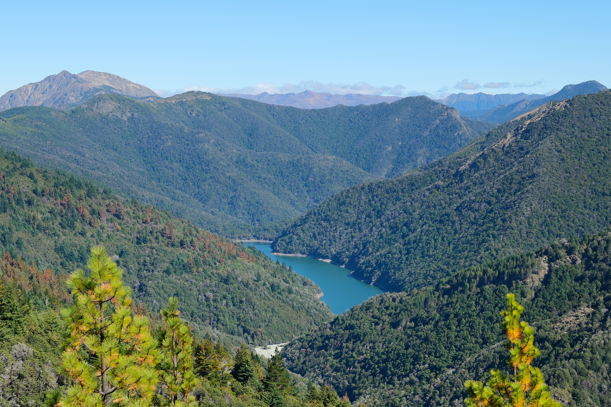
“Mount Richmond Area” is not a DOC visitor-area label — it maps onto the high central cluster of Mount Richmond Forest Park in south Marlborough, where the range’s namesake summits sit above Lake Chalice, the Goulter headwaters, and the Wakamarina, Top Valley and Pine Valley approaches. Day hiking here rarely means gentle front-country walks: three of the five entries below are DOC expert routes, and two of them are hut-based objectives that only work as a day if the party is very fit.
The compact entry point for the area is Lake Chalice on the Staircase Road access line; from there Mt Patriarch shares the same trailhead. Mount Royal is reached from the Wakamarina / Quartz Creek side of the park, while Mt Richmond and Mt Fishtail sit in the interior above Top Valley and Pine Valley roads. Bad weather, wasps, dry ridges with limited water, and road or forestry closures are all recurring issues.
For lower-elevation walking on the same range, see the Northern Richmond Forest Park note.
Summary table
| # | Hike | Route type | Distance | Estimated time | Max elevation | Difficulty |
|---|---|---|---|---|---|---|
| 1 | Lake Chalice Track and Chalice Loop | Out-and-back access + lake loop | 11.7 km (2.6 km + 6.5 km + 2.6 km) | 4.5 – 5 h | Not published | Tramping track |
| 2 | Mt Patriarch Route | Out-and-back summit | 14 km return | 5 – 6 h one way (walking) | 1,656 m | Expert route |
| 3 | Quartz Creek / Mount Royal Route | Out-and-back summit | 9.5 km return | 8 h return | 1,366 m | Expert route |
| 4 | Mt Richmond via Richmond Saddle Route | Out-and-back summit (long day) | 10.5 km one way to Richmond Saddle Hut, plus ~1 h to summit | 6 h to hut + ~1 h to summit | 1,760 m | Advanced/expert |
| 5 | Mt Fishtail Route | Out-and-back summit (long day) | 2 km + 7 km to Fishtail Hut, plus summit stage | 40 min + 5 h + 1 h to summit | 1,643 m | Advanced/expert |
Before you go
Access
All five walks are reached from SH6 north of Renwick. Staircase Road (via Northbank Road and Top Valley Road) is the shared entry for the Lake Chalice and Mt Patriarch trailheads. Quartz Creek / Mount Royal is reached from the Wakamarina side of the park. The Mt Richmond route uses Top Valley and Jackson Creek Roads and includes a Top Valley Stream ford best handled with a 4WD. Mt Fishtail is reached via Pine Valley Road. Forestry operations can close any of these roads at short notice — check DOC’s Mount Richmond Forest Park access page and Marlborough road alerts before travel.
Standard kit
- Full tramping kit for entries 2–5: boots, waterproof / windproof shell, warm layers, food, map / GPS, and PLB recommended.
- Water treatment and enough carried water for dry ridges — Mt Patriarch and Mt Royal both have no on-route water above the road stages.
- Insect protection between December and April: wasps are common in the beech forest.
- For entries 4 and 5, an early start, head torch, and honest self-assessment of fitness for a very long day.
Common hazards
Steep unformed ground, rocky ridges, exposure to Marlborough’s fast weather changes, and long escape distances are recurring issues on the tops routes. Above the bushline on Mt Royal the ground is unmarked, and the Mt Richmond summit stage above Richmond Saddle Hut needs care in poor visibility. Road access — including the Top Valley Stream ford and forestry-controlled sections on the Pine Valley and Wakamarina sides — should be confirmed on the day.
1. Lake Chalice Track and Chalice Loop
Snapshot
Itinerary
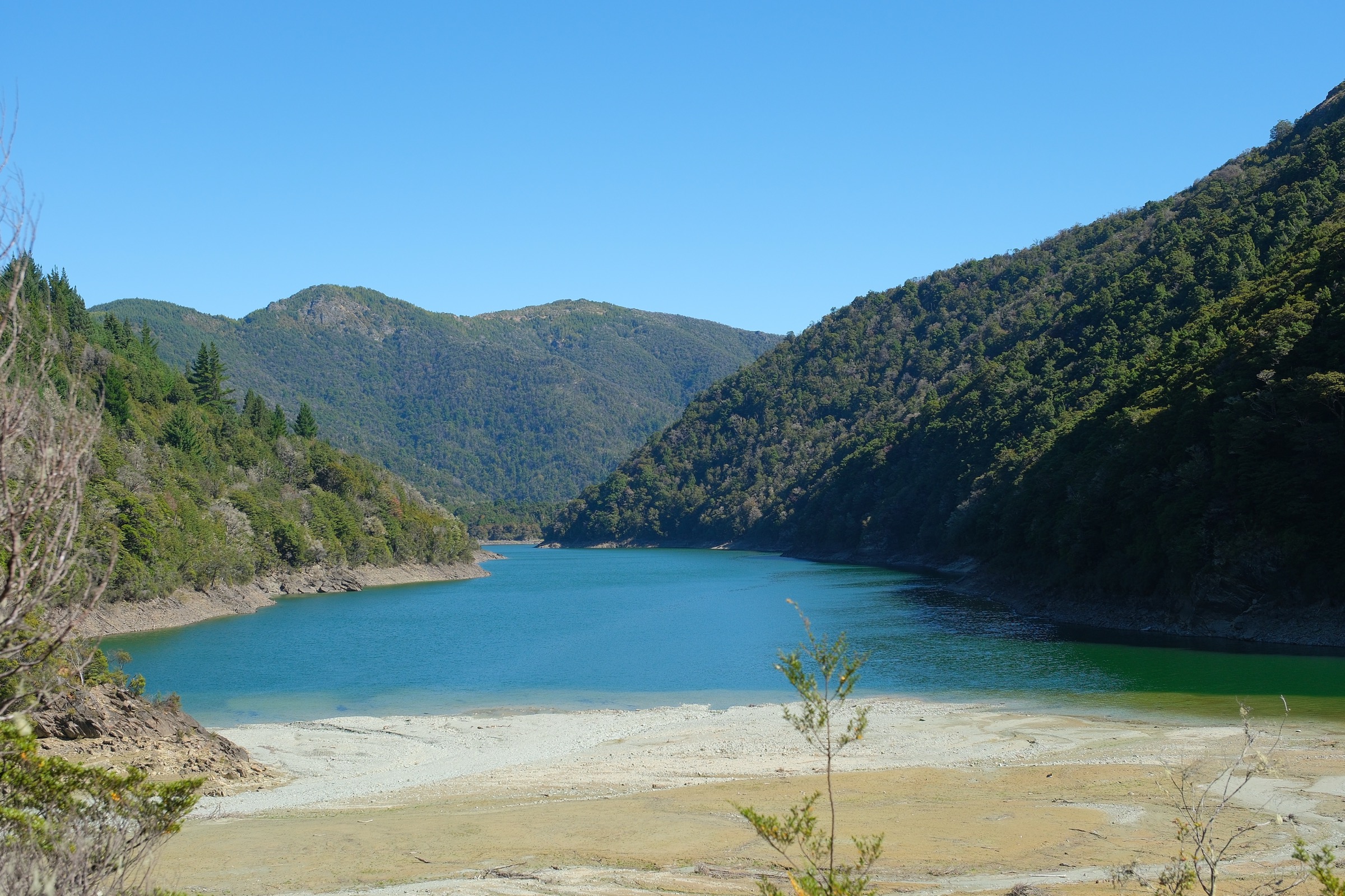
Descend from the Staircase Road car park on a benched tramping track to Lake Chalice Hut. From the hut, the loop follows the southern shore, crosses the old landslide, skirts bluffy north-side ground, and returns to the hut before climbing back to the car park.
Why it is essential
The most accessible lake objective in the Mount Richmond core, combining hut, lake, landslide, beech forest and a short-loop option on one day trip.
Hazards and notes
- Lake levels can affect the shore option; the bluffy north-side ground needs care.
- Water treatment is needed if drawing from the lake or side creeks.
- Wasps are common Dec–Apr — carry antihistamines if you react.
GPX / KML links
| Source | URL | Format | Notes |
|---|---|---|---|
| DOC — Lake Chalice Hut tracks | doc.govt.nz | Official route page | DOC website terms; no GPX published |
| DOC map source (Walking and Tramping: e255b53e-0d6c-4959-af1f-466a6f691940) | doc.govt.nz | DOC interactive map | Source route reference only |
Further reading
2. Mt Patriarch Route
Snapshot
Itinerary
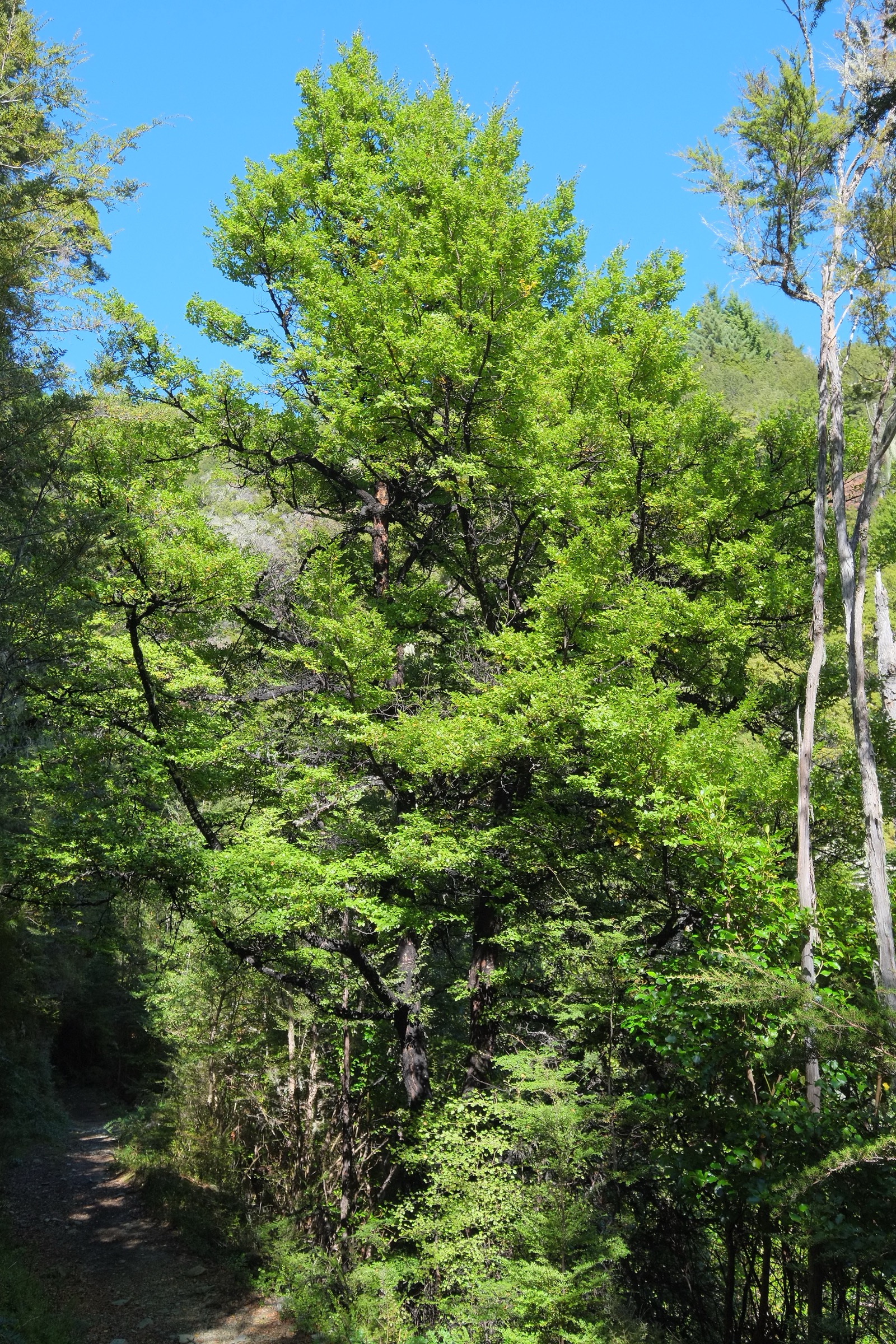
Walk the steep 4WD road from Chalice car park past Planters Lookout toward the end of vehicle access, then follow the marked route over steep rocky ridges and occasional sidles to Mt Patriarch.
Why it is essential
A major high viewpoint above Lake Chalice and one of the area’s clearest official summit routes — the natural pairing with the Lake Chalice trip for a second day at the same trailhead.
Hazards and notes
- Steep rocky ridges and sidles above the road stage.
- No water on the high route — carry enough for the full day.
- DOC states this route is not recommended for inexperienced or unfit trampers.
- Weather exposure on the ridge; avoid in poor visibility or high wind.
GPX / KML links
| Source | URL | Format | Notes |
|---|---|---|---|
| DOC — Mt Patriarch Route | doc.govt.nz | Official route page | DOC website terms; no GPX published |
| DOC map source (Walking and Tramping: cdc2c4b8-b0c1-46ba-bbf7-a524a0b17e40) | doc.govt.nz | DOC interactive map | Source route reference only |
Further reading
3. Quartz Creek / Mount Royal Route
Snapshot
Itinerary
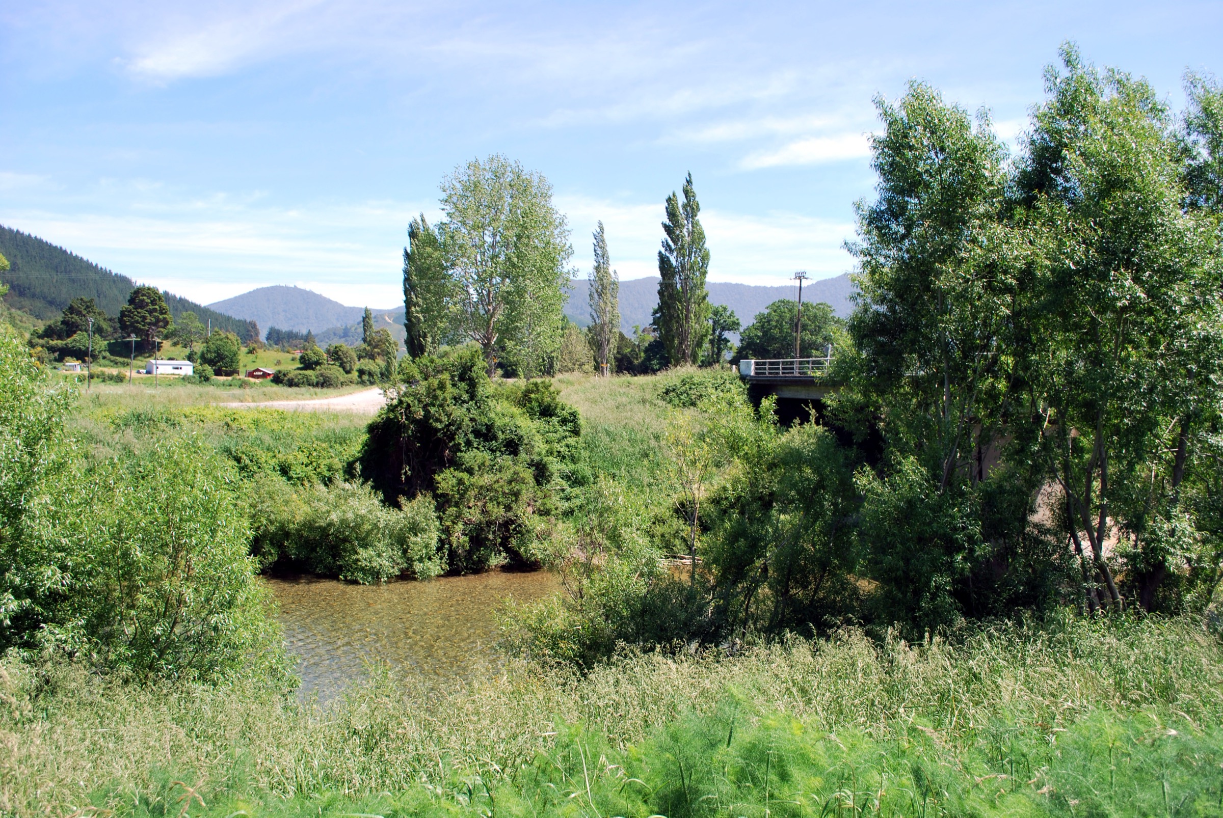
Follow Quartz Creek past the Sutherland Mine battery site and along a 4WD track to the forest. The route then climbs steeply in places to the bushline just below Mount Royal; DOC notes that ground above the bushline is unmarked.
Why it is essential
Combines mining history, a steep forest climb and a sharp eastern Richmond Range summit viewpoint in one day — a very different feel to the Lake Chalice / Mt Patriarch side.
Hazards and notes
- Steep climbing through the forest section.
- Unmarked bushline / summit ground — do not attempt in poor visibility.
- No water on the ascent to Mt Royal; carry enough for the full return.
GPX / KML links
| Source | URL | Format | Notes |
|---|---|---|---|
| DOC — Quartz Creek / Mount Royal Route | doc.govt.nz | Official route page | DOC website terms; no GPX published |
| DOC map source (Walking and Tramping: 322e7707-0a81-4ce8-8c93-74e5497d96fa) | doc.govt.nz | DOC interactive map | Source route reference only |
Further reading
4. Mt Richmond via Richmond Saddle Route
Snapshot
Itinerary
From the Top Valley / Jackson Creek Road approach, climb toward Richmond Saddle Hut. DOC states the marked route reaches Richmond Saddle Hut about one hour below Mt Richmond summit, and that a day climb is possible for very fit trampers.
Why it is essential
Mt Richmond is a namesake high summit of the range and the classic central objective — the walk that gives the “Mount Richmond Area” its name.
Hazards and notes
- Long ascent with remote terrain and limited escape options; fatigue on descent is a real risk.
- Weather exposure on the summit block; turn back if visibility drops.
- Confirm the Top Valley Stream ford status and Jackson Creek Road condition on the day.
Photo status
No licence-compatible route-specific image was located in this pass. DOC gallery imagery for the Mt Richmond routes page is marked third-party copyright and is not reusable here; the widely circulated “Mts Rintoul, Richmond, Fell and Fishtail from Gibbs Spur” Wikimedia panorama sits below the site resolution floor and was not shipped.
GPX / KML links
| Source | URL | Format | Notes |
|---|---|---|---|
| DOC — Mt Richmond routes | doc.govt.nz | Official route page | DOC website terms; no GPX published |
| DOC map source (Walking and Tramping: 8bf3a15e-3ee5-4625-9bf1-5dca480b592a) | doc.govt.nz | DOC interactive map | Source route reference only |
Further reading
5. Mt Fishtail Route
Snapshot
Itinerary
Follow the Pine Valley Track to Mill Flat and the old Pine Valley Hut site, then climb the ridge to Fishtail Hut. From the hut, continue on the summit route to Mt Fishtail.
Why it is essential
One of the best-known hard summit routes in the Mount Richmond core, and the natural pair to Mt Richmond, Mt Fell and Mt Rintoul on the range’s central skyline.
Hazards and notes
- Long remote ascent with ridge exposure above the hut.
- Limited escape options once past Fishtail Hut; a headlamp is normal kit for a summit-day return.
- Confirm Pine Valley Road status before travel — forestry closures are the recurring blocker.
Photo status
No licence-compatible route-specific image was located in this pass. The available DOC gallery imagery is marked third-party copyright and cannot be reused; no suitable Wikimedia Commons image of Mt Fishtail from the Richmond Range side was found at the required resolution.
GPX / KML links
| Source | URL | Format | Notes |
|---|---|---|---|
| DOC — Mt Fishtail Route | doc.govt.nz | Official route page | DOC website terms; no GPX published |
| DOC map source (Walking and Tramping: 9c76358a-8f17-4674-b948-e4116dff4bac) | doc.govt.nz | DOC interactive map | Source route reference only |
Further reading
Verification notes
- All five routes, their DOC distances (where published), estimated times and maximum elevations are verified against the relevant DOC Mount Richmond Forest Park track pages.
- Elevation gain and loss are not published by DOC for any of the five routes and are recorded as unresolved rather than filled from secondary sources.
- Entry 2 (Mt Patriarch) shows a mismatch between the DOC “5–6 h one way for walking” key-detail figure and the ~3 h + 2 h stage breakdown given in the DOC route description; full return time should be treated as unresolved and confirmed in the field.
- Entries 4 (Mt Richmond) and 5 (Mt Fishtail) are marked in DOC’s own text as viable day objectives only for very fit trampers; the full summit-day distances are not published and remain unresolved.
- No direct DOC GPX or KML downloads were located in this pass. DOC interactive-map search IDs are recorded per entry as source-route references so route geometry can be redrawn later from a legal base.
- DOC hero images (Lake Chalice, Mt Patriarch, Mt Royal) are marked CC BY 4.0 under DOC’s copyright terms but were only available at 1920 × 1080 — below the site’s minimum shipped resolution — so Wikimedia Commons images were used instead for entries 1–3, and entries 4 and 5 ship without a route-specific figure.
Further reading
| Source | URL |
|---|---|
| DOC — Mount Richmond Forest Park | doc.govt.nz |
| DOC — Mount Richmond Forest Park access | doc.govt.nz |
| DOC — Lake Chalice Hut tracks | doc.govt.nz |
| DOC — Mt Patriarch Route | doc.govt.nz |
| DOC — Quartz Creek / Mount Royal Route | doc.govt.nz |
| DOC — Mt Richmond routes | doc.govt.nz |
| DOC — Mt Fishtail Route | doc.govt.nz |
| DOC — copyright and image reuse | doc.govt.nz |
| Storm — Northern Richmond Forest Park | storm.ski article |