Regional overview
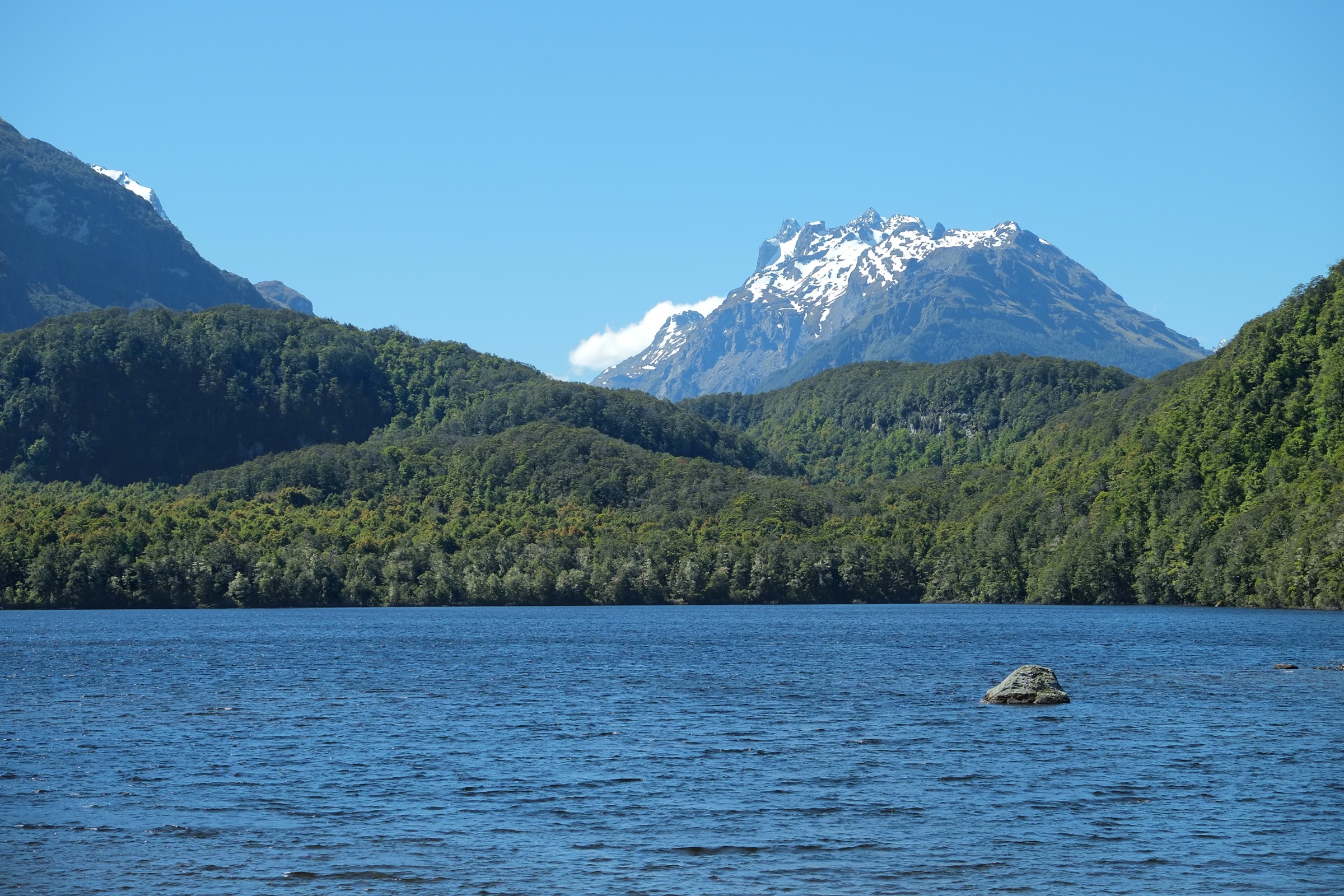
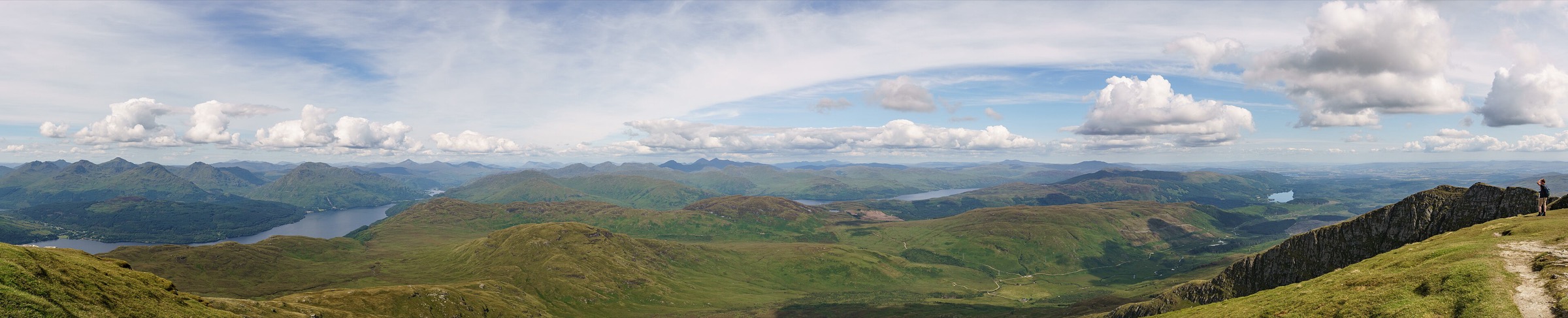
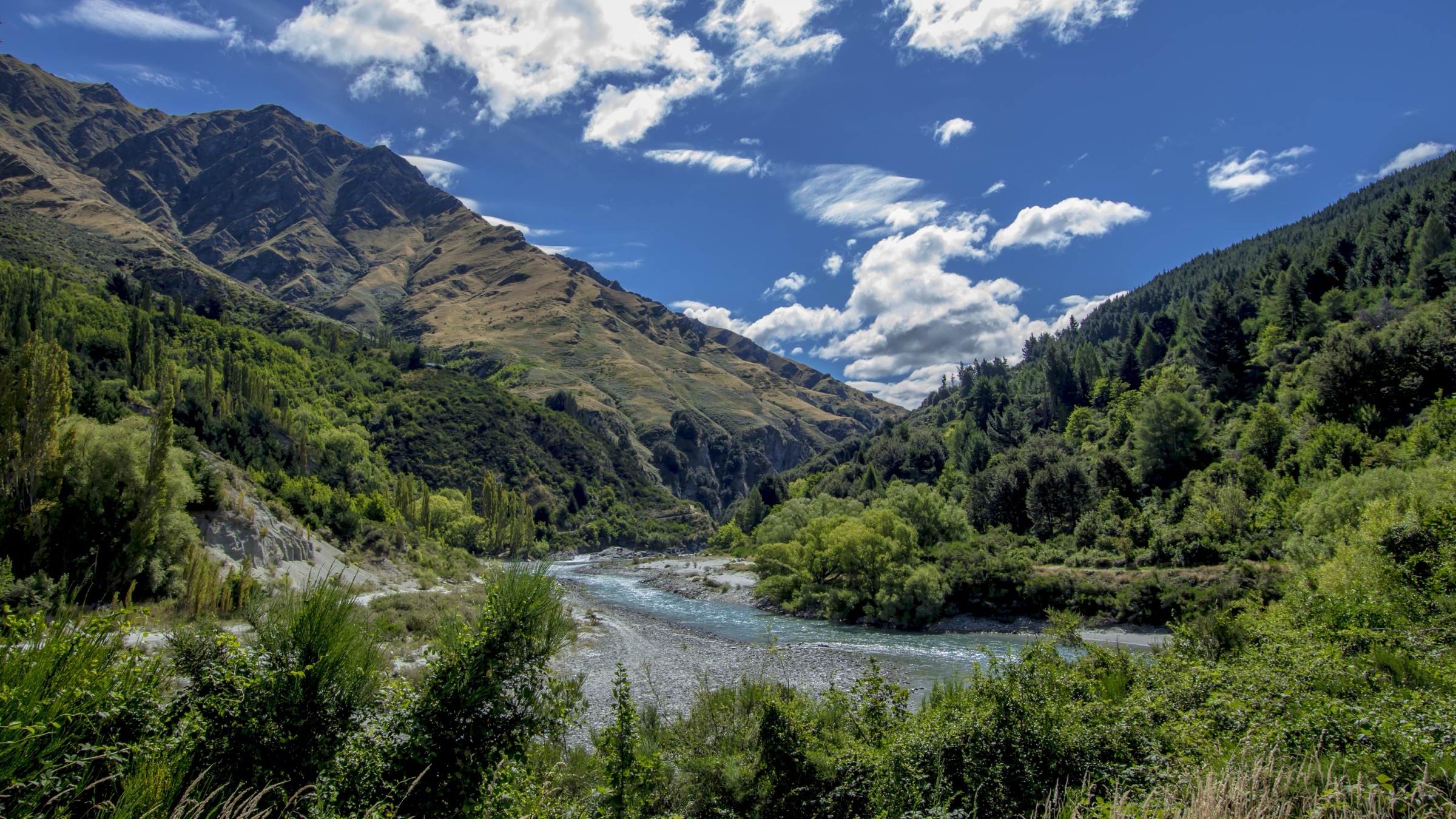
The central Richardsons are read here as the walking corridor immediately north of Queenstown — the belt of Moonlight, Arthurs Point, Shotover Gorge, Moke Creek and the Skippers fringe that sits between Ben Lomond’s back slopes and the Shotover River gorge. This is not a set of polished alpine day walks. It is a network of historic goldfield access tracks, dry open ridges, river-gorge routes and farm-and-conservation easements that day walkers thread together from the Queenstown side.
Public sources for the sector are fragmented. No single DOC page carries complete statistics for most of the central objectives in this pass, and the route figures that follow come from the AllTrails route database — the closest resolvable secondary source at the time of writing. Where a value is not published, it is stated as unresolved rather than inferred.
The walking character of the sector is dry, exposed and historically layered. Tracks are hot in summer, windy in poor weather, muddy after rain, and confusing where mountain-bike routes, farm tracks and public-access easements intersect. Snow and ice can affect the higher connections around Ben Lomond and the Moonlight back slopes in winter.
Selection rationale
The five objectives cover the corridor’s main day-walk themes. The Moonlight Track from Arthurs Point is the sector’s core historic goldfield walk. The Arthurs Point via Ben Lomond Walkway and Moonlight Track point-to-point stitches the Queenstown summit-side network to the Moonlight side and is the corridor’s biggest day. Atleys Track is the compact Shotover-side historic side route. The Shotover Gorge Trail to Arthurs Point via Hugo Tunnel is the short but distinctive gorge-side connector; it is included because it is the clearest central Shotover gorge day-scale walk with published statistics. The Moke Creek Road Track is the Moke basin road-and-valley option and the sector’s western counterpart to the Moonlight walks.
Summary
| # | Hike | Route type | Distance | Gain | Difficulty |
|---|---|---|---|---|---|
| 1 | Moonlight Track from Arthurs Point | Out-and-back | AllTrails: 10.1 km | AllTrails: 514 m | Moderate |
| 2 | Arthurs Point via Ben Lomond Walkway and Moonlight Track | Point-to-point | AllTrails: 17.9 km | AllTrails: 1,163 m | Hard / strenuous |
| 3 | Atleys Track | Out-and-back | AllTrails: 7.6 km | AllTrails: 376 m | Moderate |
| 4 | Shotover Gorge Trail to Arthurs Point via Hugo Tunnel | Point-to-point | AllTrails: 3.4 km | AllTrails: 104 m | Easy–moderate |
| 5 | Moke Creek Road Track | Out-and-back | AllTrails: 14.2 km | AllTrails: 412 m | Moderate |
1. Moonlight Track from Arthurs Point
Snapshot
Itinerary
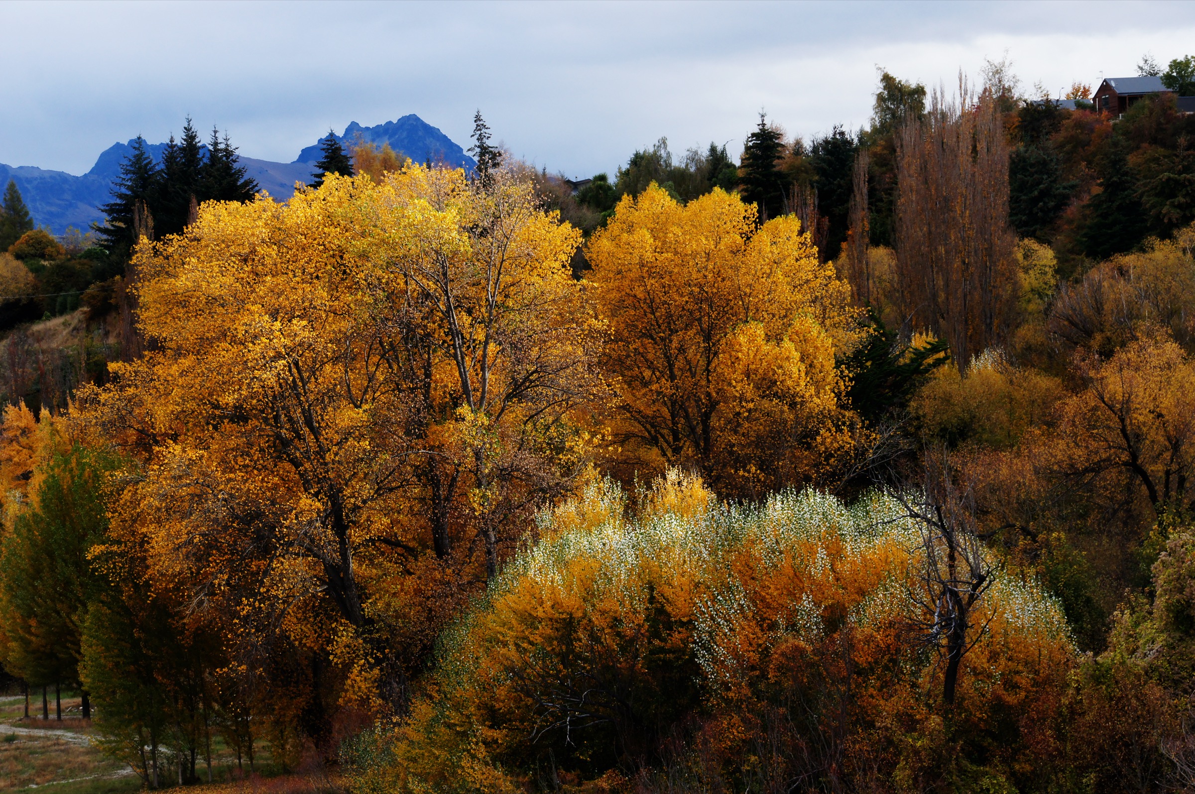
From the Arthurs Point side of the Shotover, climb onto the open goldfield country of the Moonlight Track and follow the day out-and-back section before the longer connections north-west toward Moke Lake and up onto the back of Ben Lomond.
Why it is essential
Moonlight is the central sector’s key historic walking name — the walking line that links the corridor’s gold-mining past, its Shotover views and the back side of Ben Lomond in a single moderate day.
Equipment
- Hiking shoes or boots
- Windproof shell and warm layer
- Sun protection and 2 L water in summer
- Food for the day
- Map, compass and offline GPS
Hazards and notes
- Exposed dry slopes with limited shade or on-route water
- Wind on the ridge sections
- Muddy sections after rain
- Winter snow and ice possible higher up
- AllTrails is the only route-statistics source used here; official statistics were not found in this pass
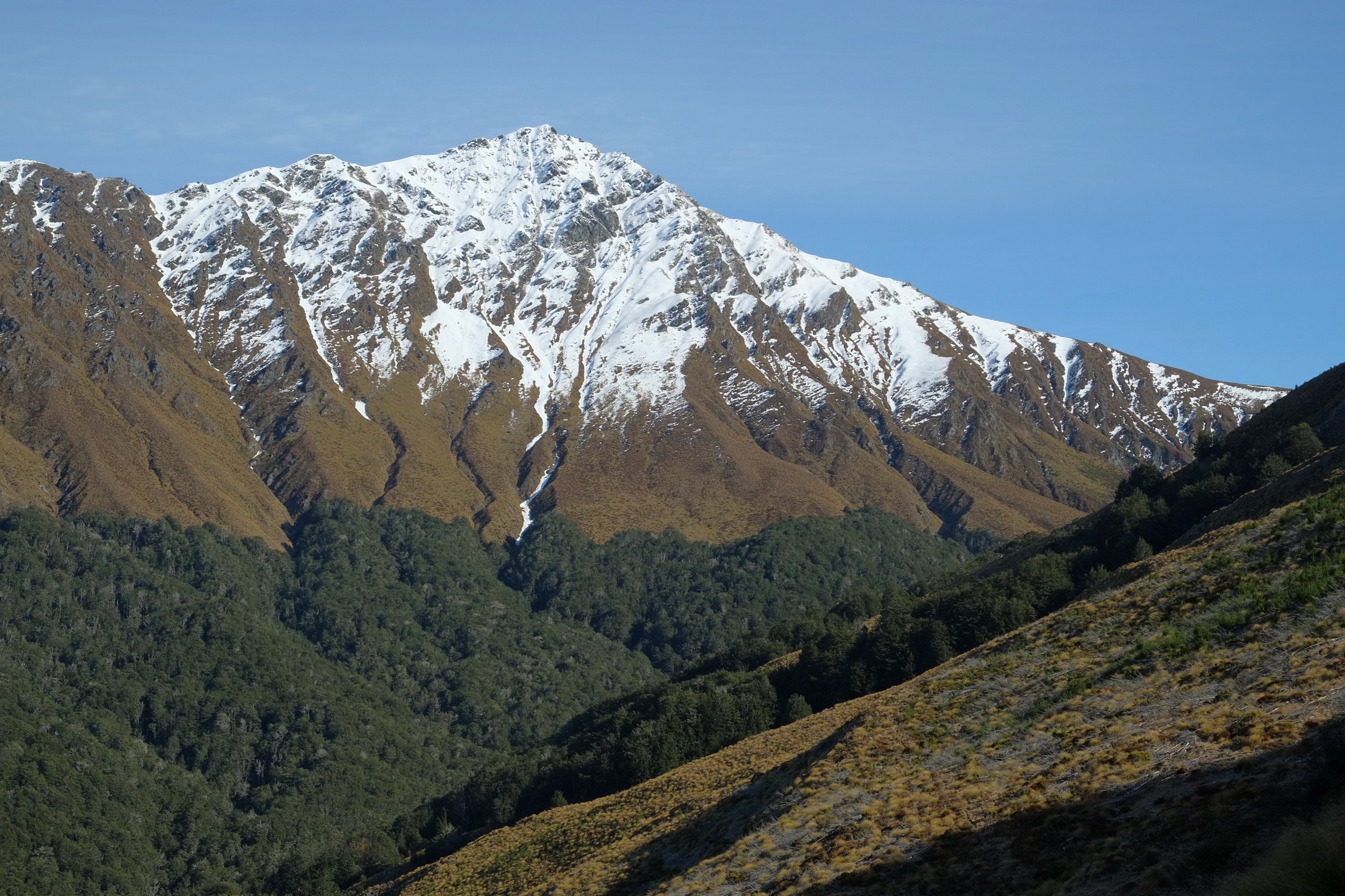
2. Arthurs Point via Ben Lomond Walkway and Moonlight Track
Snapshot
Itinerary
Use the Ben Lomond Walkway connection off the Queenstown side to reach the Moonlight side of the range, then descend or traverse toward Arthurs Point. Directions and logistics depend on which end is chosen as the start; either way this is a committing point-to-point day that has to be planned around transport.
Why it is essential
This traverse gives the full central Richardsons expression — it stitches the Queenstown summit-side walking network to the Moonlight and Shotover historic corridor in a single day. It is the corridor’s biggest and most rewarding day option for fit walkers.
Equipment
- Mountain day kit — boots, waterproof and windproof shell, warm layer
- 2 L or more water in summer, plus food for a long day
- Map, compass and offline GPS
- Headlamp with spare batteries
- Emergency shelter / bivy
- Personal Locator Beacon on the higher connections
Hazards and notes
- Exposed tops with wind, sun and cool ridge conditions in the same day
- Route junctions where walking, bike and farm tracks intersect
- Private / public access boundaries that need to be respected
- Snow and ice in winter on the higher connections
- Limited water and shade on the ridge
- Route direction and access endpoints are not tightly resolved in the sources checked
3. Atleys Track
Snapshot
Itinerary
Follow the historic Atleys Track through dry open country and Shotover-side terrain on the out-and-back day route shown by the AllTrails entry, returning by the same line to the road access.
Why it is essential
Atleys adds a compact goldfields-era side route to the central corridor — a shorter, less crowded alternative that fills the gap between the fuller Moonlight day and the very short Hugo Tunnel connector.
Equipment
- Hiking shoes or boots
- Sun and wind protection
- Water and food for a half day
- Map, compass and offline GPS
Hazards and notes
- Exposed heat in summer
- Wind on the ridge sections
- Slippery sections after rain
- Old mining and track remnants near the corridor
- Current access signage should be checked before the walk
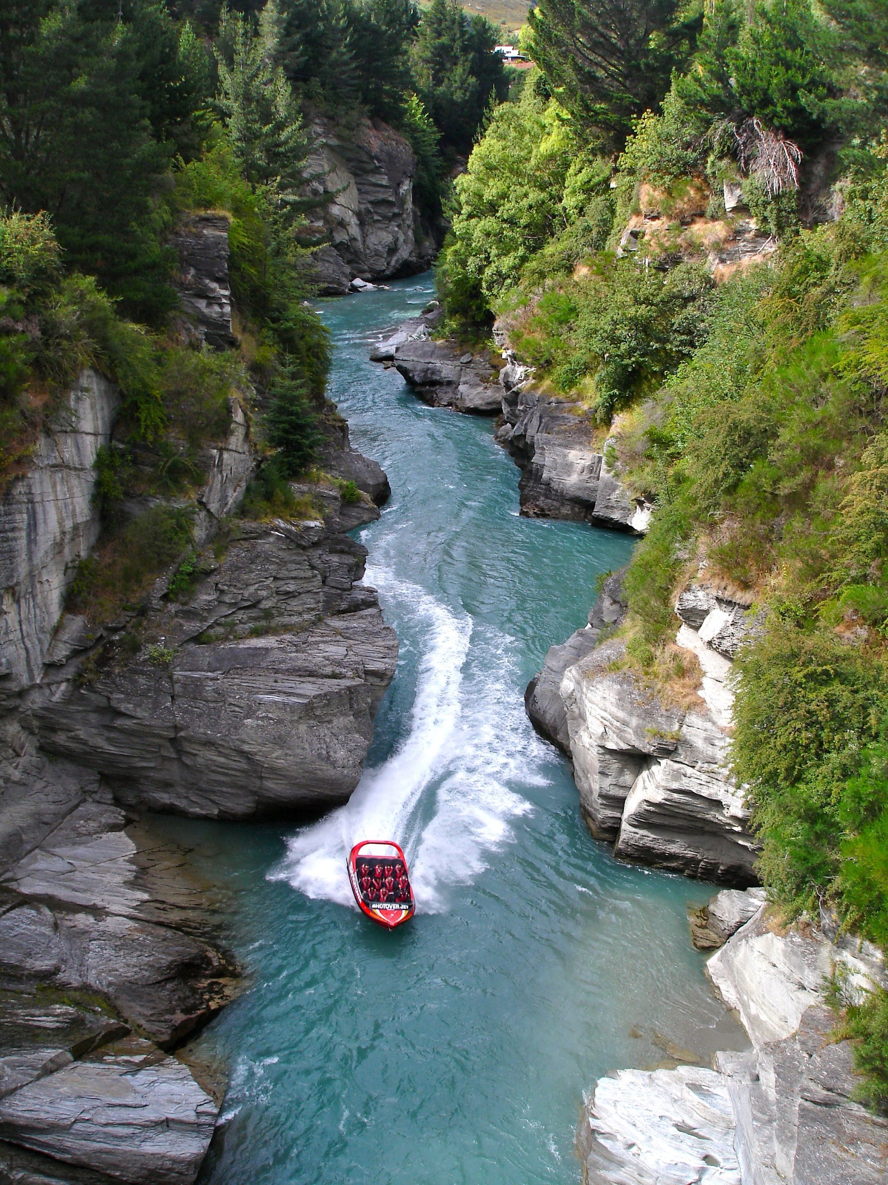
4. Shotover Gorge Trail to Arthurs Point via Hugo Tunnel
Snapshot
Itinerary
Follow the short Shotover Gorge Trail through the Hugo Tunnel connection into Arthurs Point, with the Shotover River canyon on one side and the historic transport-and-mining context of the tunnel itself on the other.
Why it is essential
Although short, this is the clearest central Shotover gorge walk found with published route statistics in this pass — a compact way to see the gorge on foot when the longer Moonlight or Ben Lomond days do not fit the plan.
Equipment
- Walking shoes
- Light rain and wind layer
- Water
- Bike-aware etiquette if the trail is shared use on the day
Hazards and notes
- Gorge edges with drop-offs
- Shared-use trail traffic — mountain bikers may be moving fast
- Wet or icy surfaces in cool weather
- Tunnel lighting and visibility can be low
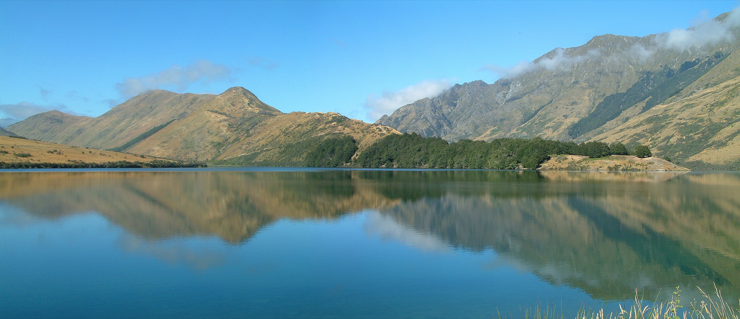
5. Moke Creek Road Track
Snapshot
Itinerary
Follow the road-and-track corridor into the Moke Creek valley on the AllTrails out-and-back route, returning by the same line to the road access. AllTrails notes river, view and waterfall features along the corridor.
Why it is essential
Moke Creek Road is the corridor’s western counterpart to the Moonlight walks — the road-and-valley approach between the Moonlight / Shotover hills and the Moke basin, and the sector’s most complete moderate valley day.
Equipment
- Hiking shoes or boots
- Sun, wind and rain layers
- Water and food for a full moderate day
- Map, compass and offline GPS
Hazards and notes
- Exposed valley weather — sun in summer, cold wind in winter
- Farm and road traffic on the corridor
- Muddy ground after rain
- Snow and ice in winter
- Limited shade
- Current road-access status should be confirmed locally before setting out
Missing data / follow-up work
- No official DOC page with complete statistics was found for most of the central selections in this pass; the route figures shown are from the AllTrails database and should be treated as secondary sources until reconciled with a measured GPX or an official source.
- Maximum elevations for all five objectives are unresolved in the sources checked, and the exact high point of the Ben Lomond Walkway / Moonlight traverse remains unresolved — the route does not necessarily visit the Ben Lomond summit.
- Point-to-point transport logistics for objectives 2 and 4 (Arthurs Point / Ben Lomond side and Shotover Gorge Trail / Hugo Tunnel) need local confirmation before the walking day.
- Current access status — parking, gates, farm easements and shared-use bike-track signage — should be checked at the Arthurs Point, Skippers-fringe and Moke Creek road ends before the walk.
- Route-specific licence-compatible imagery for Atleys Track was not found in this pass; the corridor is represented only by the broader Shotover, Moonlight, Ben Lomond and Moke images used on the other objectives.
Further reading
| Resource | Link |
|---|---|
| AllTrails — Moonlight Track from Arthurs Point | alltrails.com |
| AllTrails — Arthurs Point via Ben Lomond Walkway and Moonlight Track | alltrails.com |
| AllTrails — Atleys Track | alltrails.com |
| AllTrails — Shotover Gorge Trail to Arthurs Point via Hugo Tunnel | alltrails.com |
| AllTrails — Moke Creek Road Track | alltrails.com |
| DOC — Ben Lomond Track | doc.govt.nz |
| MetService — Otago regional forecast | metservice.com |
| Wikipedia — Richardson Mountains | en.wikipedia.org |
| Wikimedia Commons — Shotover River | commons.wikimedia.org |