About this entry
“Northern Richardsons” is a practical catalogue subdivision rather than a Department of Conservation visitor-area label. Public, well-documented day walks at the northern end of the range cluster around Lake Sylvan, the Routeburn Shelter, and the Glenorchy scheelite-mining tracks — a Glenorchy and Routeburn-facing sector rather than a neat DOC trail unit. The strict Richardson Mountains boundary is not always explicit in the sources checked here, so several routes below are boundary picks — adjacent northern-Whakatipu routes on the Mount Aspiring National Park side of the head of Lake Whakatipu rather than routes with an explicit “Richardson Mountains” claim in their source page. This framing is called out route-by-route.
Regional overview
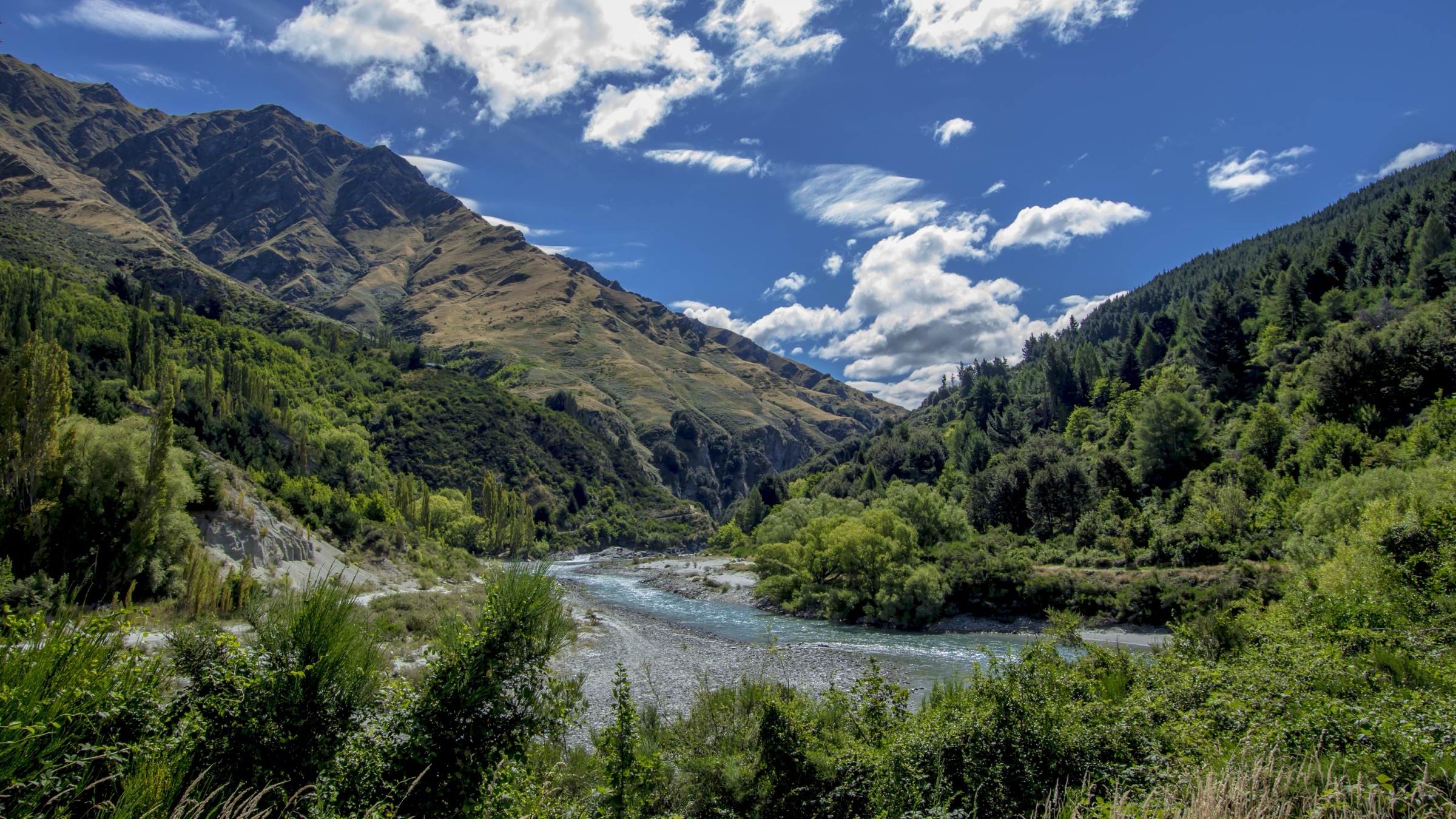
The northern Richardson Mountains rise on the eastern side of the head of Lake Whakatipu, opposite the Humboldt Mountains and the Routeburn valley on the west. The country is a transition landscape: from the Glenorchy flats and beech forest of Lake Sylvan on the valley floor, through the historic scheelite-mining hills above Glenorchy, to alpine tarns and the Routeburn Great Walk on the Mount Aspiring National Park side. Walking character ranges from easy beech-forest lake walks to long Great Walk day sections and open-hillside heritage climbs. Public transport does not run to the trailheads on any predictable timetable; access is by private vehicle or booked shuttle from Queenstown and Glenorchy.
The main walking season is late spring to autumn — roughly November to April — for the best chance of settled weather and safe river conditions. The Routeburn Track above Routeburn Flats carries snow, ice, avalanche terrain, short daylight, high rainfall and reduced facilities from May to late October, and DOC’s own advice is that the Routeburn should only be attempted in that period by fit, experienced, well-equipped parties with alpine, river-crossing and navigation skills. Even in summer the Routeburn is a high alpine trail: check the DOC alerts before travel and carry mountain equipment for the higher day objectives.
Standard equipment is tramping boots, a waterproof shell, warm mid-layer, food and water for a long forest-and-alpine day, headtorch, and a map or GPS independent of the Great Walk waymarks. A personal locator beacon is strongly recommended on the Harris Saddle and Mount Judah days.
Selection rationale
Five day-scale routes are presented across the northern Richardson Mountains and their Glenorchy-facing access country. The Lake Sylvan Track is the accessible forest-and-lake loop and the easiest way in. The Routeburn Shelter to Routeburn Flats Hut section is the classic lower-valley introduction to the Glenorchy side of the Routeburn. The Routeburn Falls Hut climb adds the stronger mountain day on the same corridor, with the falls cascade and the Humboldt views. The Lake Harris / Harris Saddle day is the hard, long alpine objective from the same road end — the iconic Routeburn day from Glenorchy. The Mount Judah Track rounds the group out with the range’s own historic scheelite-mining loop above Glenorchy, a harder open-hill objective on Richardson-adjacent hills.
Routeburn entries are included because they are the dominant legal day-hiking network on the Glenorchy / northern Whakatipu side and are the walks the vast majority of parties will actually be looking for; boundary precision against the strict Richardson Mountains gazetteer remains partly unresolved and is flagged in each route section.
Summary
| # | Hike | Trailhead | Route type | Distance | Gain | Difficulty |
|---|---|---|---|---|---|---|
| 1 | Lake Sylvan Track | Lake Sylvan car park | Loop | 8.9 km (AllTrails) | 154 m (AllTrails) | Easy–Moderate |
| 2 | Routeburn Shelter to Routeburn Flats Hut | Routeburn Shelter | Out-and-back | 15 km return (DOC) | 306 m (AllTrails, one way) | Moderate |
| 3 | Routeburn Shelter to Routeburn Falls Hut | Routeburn Shelter | Out-and-back | 19.6 km return (DOC) | 661 m (AllTrails, one way) | Moderate–Hard |
| 4 | Routeburn Shelter to Lake Harris / Harris Saddle Shelter | Routeburn Shelter | Out-and-back | 26.7 km (AllTrails) | 1,235 m (AllTrails) | Hard — long alpine day |
| 5 | Mount Judah Track | Glenorchy scheelite-mining access | Loop | 16.6 km (AllTrails) | 976 m (AllTrails) | Hard |
1. Lake Sylvan Track
Snapshot
Itinerary
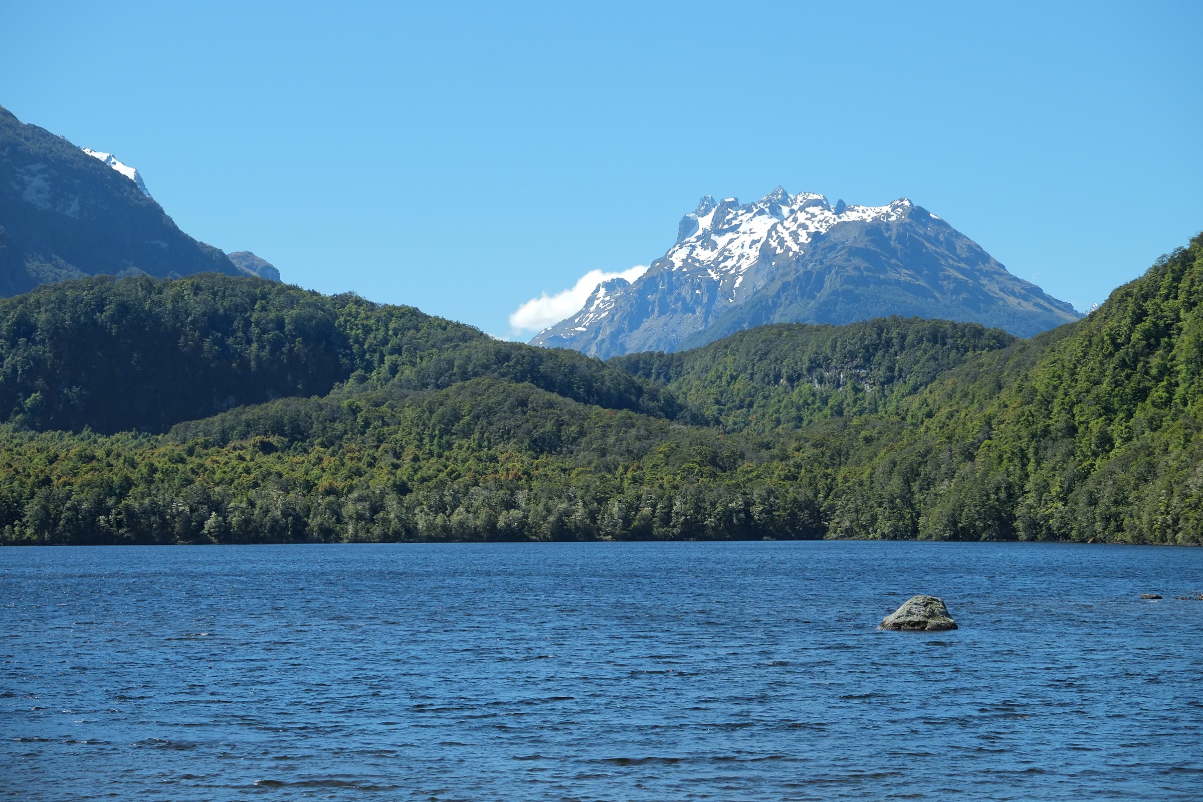
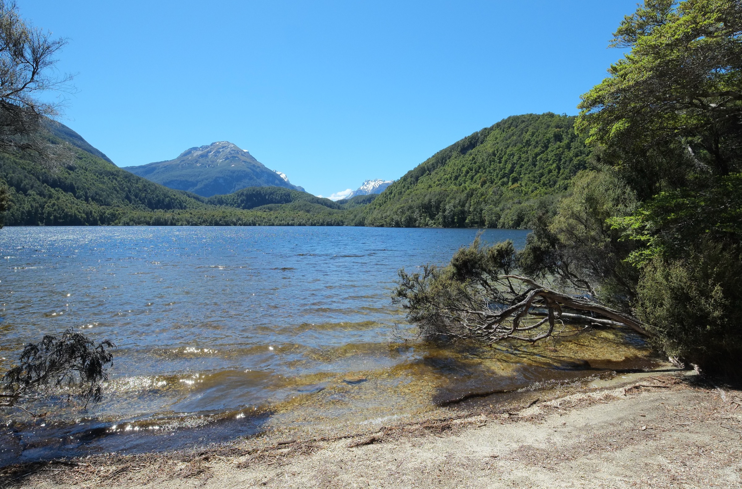
The formed track crosses old moraine terraces and red beech forest to the Lake Sylvan viewing platform, then returns by the tramline loop back to the car park. The DOC route page verifies the description, times and access; the AllTrails record supplies the loop distance and elevation gain as a secondary source.
Why it is essential
Lake Sylvan is the best easy northern forest-and-lake objective near Glenorchy — a compact loop through mature beech forest to a calm alpine-fed lake, well-signed, with open-licence images and an official DOC route page.
Equipment
- Walking shoes or light boots
- Rain layer and warm mid-layer
- Water, food and insect repellent
Hazards and notes
- Wet forest track with roots and muddy patches
- Changeable weather — even short walks here can turn cold in a southerly
- Dogs — not allowed on DOC conservation land unless specifically permitted
2. Routeburn Shelter to Routeburn Flats Hut
Snapshot
Itinerary
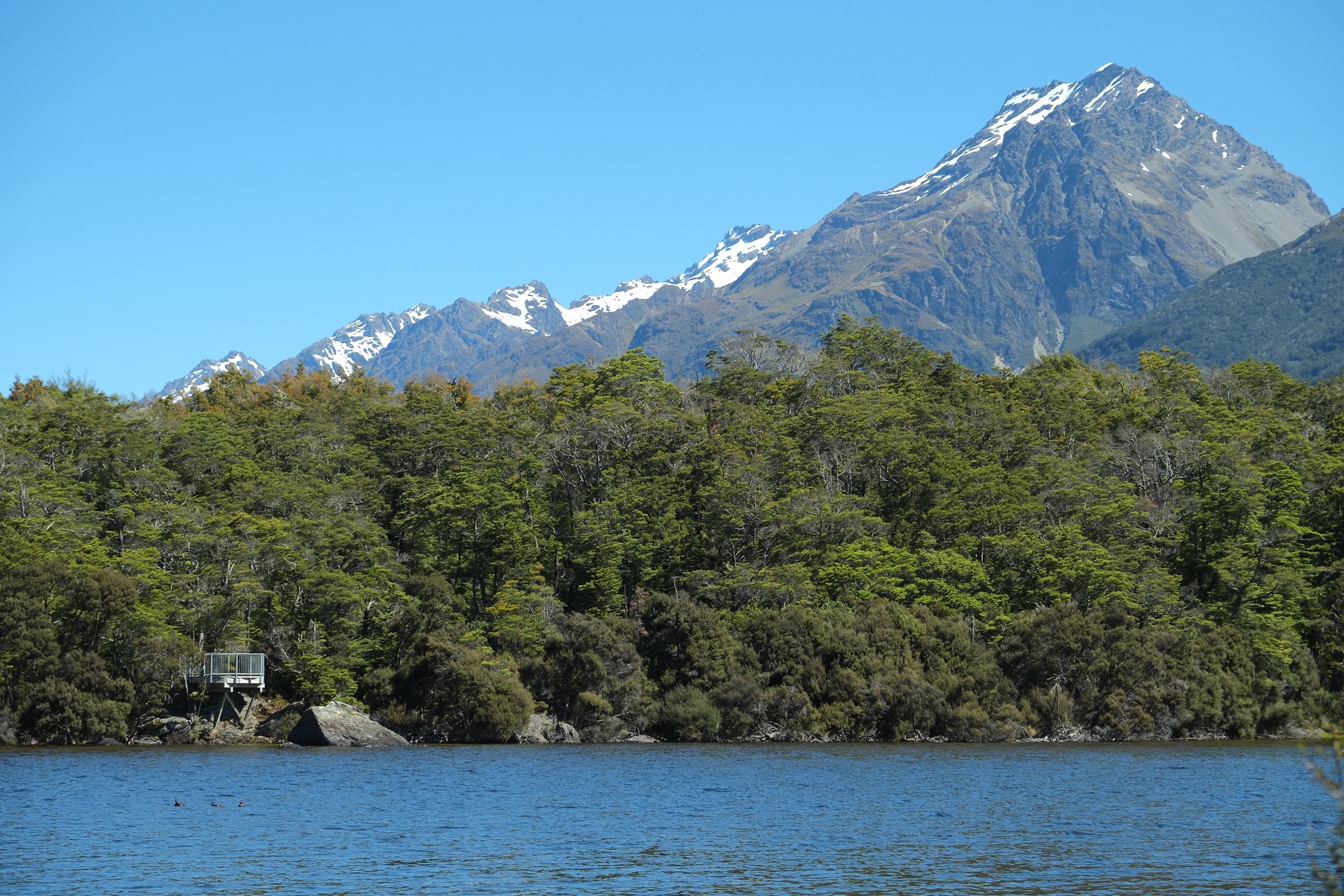
From the Routeburn Shelter, follow the Route Burn through forest, pass Sugarloaf Stream, climb toward Bridal Veil Waterfall, cross the swing bridge, and reach the open Routeburn Flats. Return the same way.
Why it is essential
This is the most accessible day section of the Routeburn Track — the classic lower-valley introduction to the Glenorchy side of the Great Walk. Boundary framing: the route is on the Mount Aspiring National Park side of the valley rather than in the strict Richardson Mountains gazetteer, but it is the dominant walking objective at the head of Lake Whakatipu.
Equipment
- Hiking boots or trail shoes
- Waterproof and warm layers
- Food, water, map or GPS
- Headtorch if starting late
Hazards and notes
- Winter snow, ice and avalanche terrain on the wider Routeburn; DOC advises full alpine skills and gear outside the main season
- River crossings and flooding — swing bridge is engineered but the wider valley is prone to rapid flood
- Steep drops, sandflies and wasps on the Great Walk; no cellphone coverage on the wider Routeburn Track
- Transport — shuttle or private vehicle must be arranged; the Routeburn Shelter is 25 km from Glenorchy on a partly unsealed road
3. Routeburn Shelter to Routeburn Falls Hut
Snapshot
Itinerary
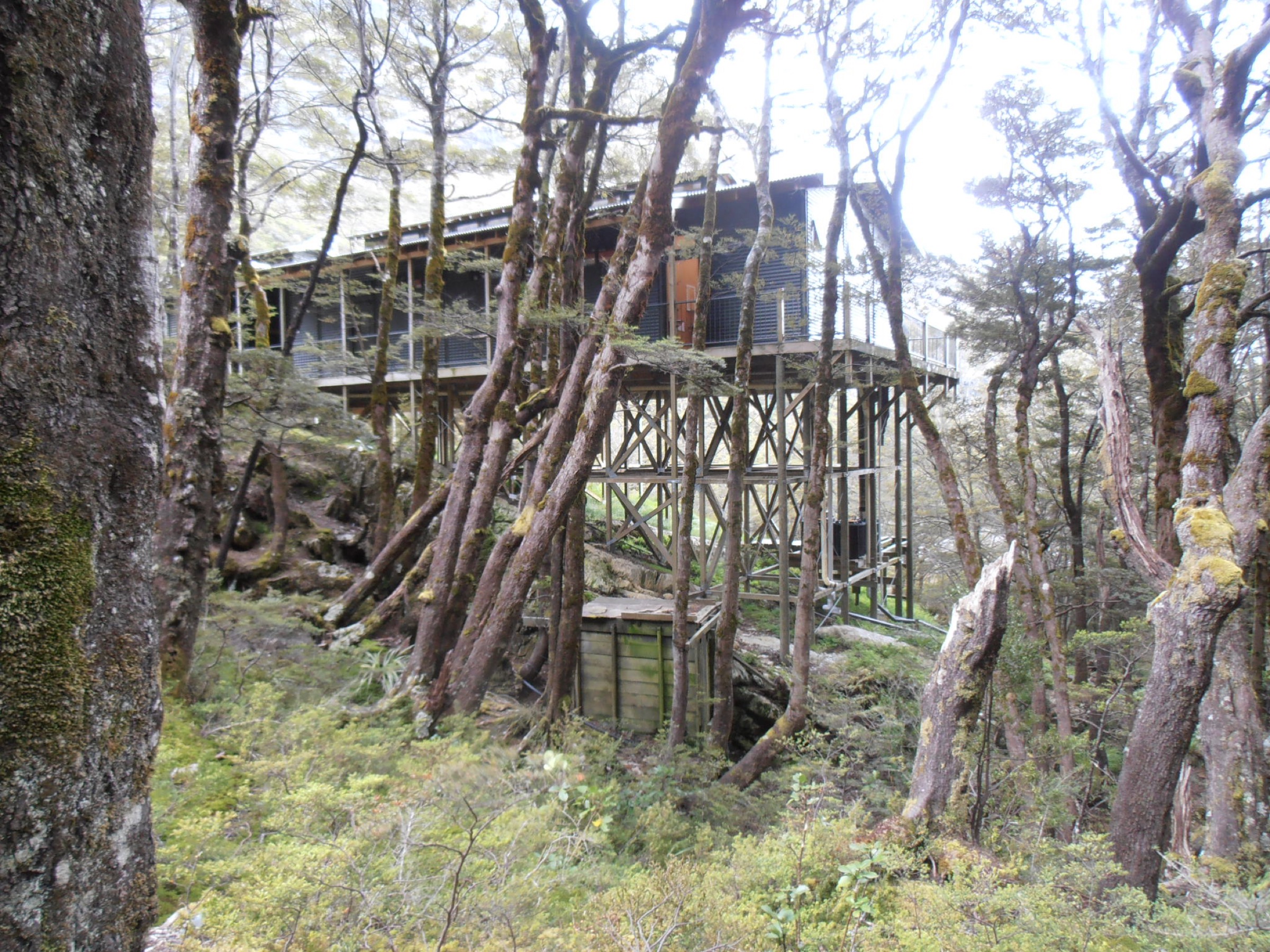
Follow the Routeburn Flats route as above, then climb the 2.3 km segment through beech forest from Routeburn Flats Hut to Routeburn Falls Hut, sited near the bushline beside the falls cascade.
Why it is essential
This is the stronger mountain day on the Glenorchy side of the Routeburn, adding the falls cascade, the bushline setting and Humboldt Mountains views to the lower-valley walk. It is a full day out and back from the road end.
Equipment
- Mountain walking kit — boots, rain and warm layers
- Food, water, map or GPS
- Headtorch and an emergency insulation layer
Hazards and notes
- Same Routeburn hazards as Hike 2 — winter avalanche terrain, high rainfall, no phone reception
- Long day — the descent back to the shelter adds significantly; start early
- Great Walk etiquette — through-walkers with heavy packs share the same track
4. Routeburn Shelter to Lake Harris / Harris Saddle Shelter
Snapshot
Itinerary
Continue past Routeburn Falls Hut into the alpine Routeburn basin, climb toward Lake Harris, and reach Harris Saddle / Tarahaka Whakatipu and the day shelter at the Fiordland boundary. Return by the same route.
Why it is essential
This is the highest and most iconic Routeburn day objective from the Glenorchy side, with alpine tarns, Lake Harris, and the famous saddle viewpoint at the head of the valley. It is a very long day back to the road end and needs settled weather and full mountain kit.
Equipment
- Full mountain day kit — boots, waterproofs, warm layers, hat and gloves
- Food and water for a very long day
- Headtorch, map or GPS
- Emergency shelter and a personal locator beacon strongly recommended
Hazards and notes
- Avalanche risk into December and again from late autumn; winter bridges are removed
- Snow, ice, flooding, steep drops and high rainfall on the Routeburn
- No cellphone coverage on the wider Routeburn Track
- Long descent — the return to the road end after the saddle turns a scenic day into a punishing one; plan lights and an early start
5. Mount Judah Track
Snapshot
Itinerary
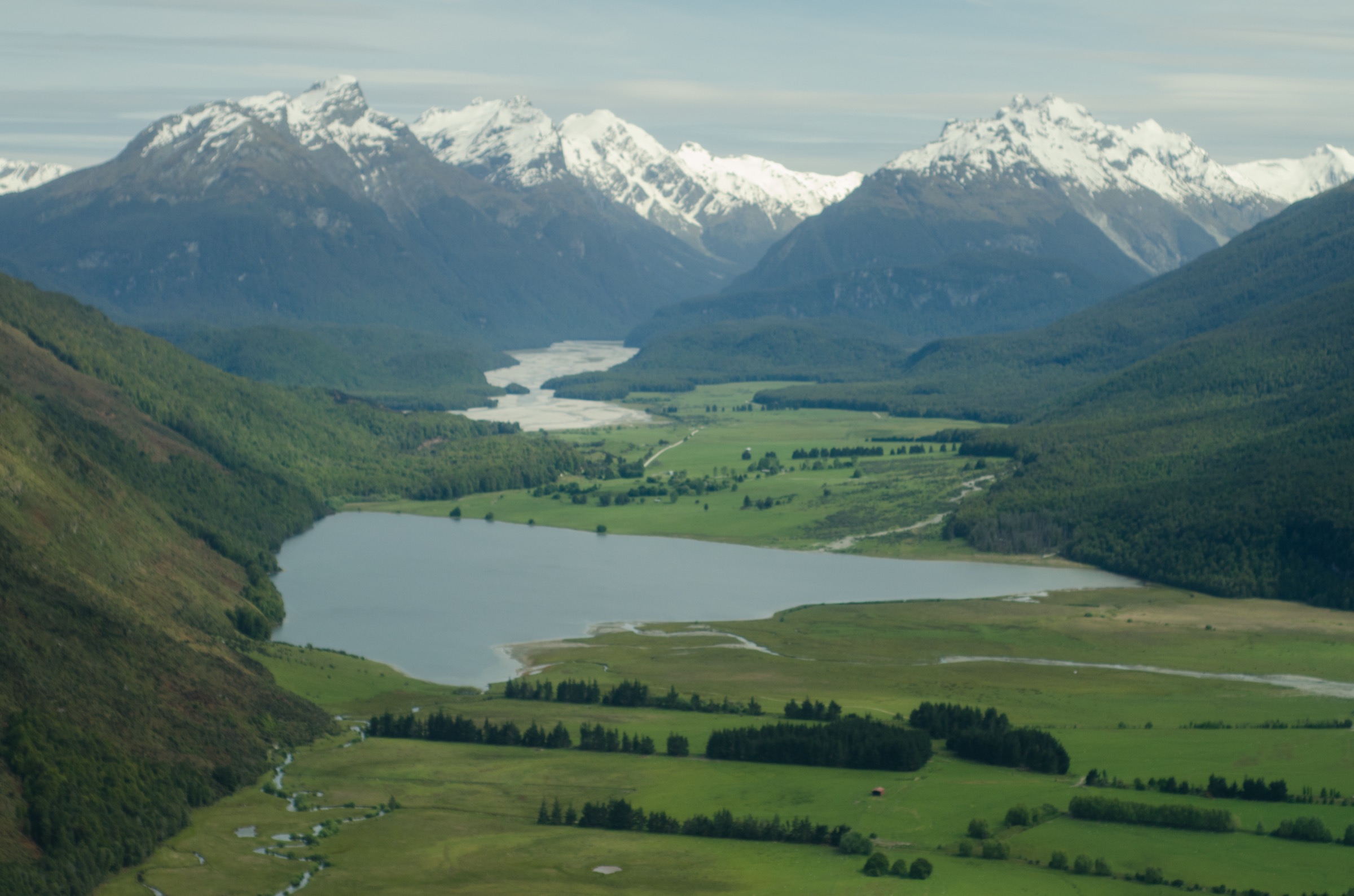
Climb the old mining-country tracks above Glenorchy through open grass and tussock, visiting the scheelite battery and the Heather Jock Hut side area depending on the chosen loop, then return to the road end. Included here as the range’s historic mining objective and the harder open-hill counterpart to the forested Routeburn valley walks; official route statistics were not located in this pass.
Why it is essential
Mount Judah adds the northern sector’s historic mining landscape to the catalogue — a hard open-hill objective on Richardson-adjacent hills that gives a completely different day from the Great Walk corridor across the valley.
Equipment
- Mountain hiking kit — boots, windproof and waterproof layers
- Sun protection, water and food
- Map or GPS, headtorch, emergency insulation
Hazards and notes
- Exposed open hills — wind and heat in summer, snow and ice in winter
- Old mining features — shafts, adits and unstable ground; stay on the marked route
- Limited water on the tops
- Route-finding — the loop follows old farm and mining tracks; official route statistics are unresolved and the strict Richardson-boundary status is not verified
Further reading
- Mount Aspiring / Matukituki Valley: essential day-hikes — the neighbouring national-park sub-block on the Wanaka side, sharing the wider Mount Aspiring National Park access geography.
- Southern Alps — Aspiring Cascade Saddle: essential day-hikes — the alpine crossing between Aspiring and Rees / Dart, north of the Richardson country.
- Department of Conservation — Routeburn Track — the canonical current-status source for the Routeburn Great Walk.
- Department of Conservation — Lake Sylvan Track — the canonical current-status source for the Lake Sylvan loop.
Missing data / follow-up work
- Lake Sylvan Track: maximum elevation is unresolved; DOC route page gives times but no distance and the loop distance is from AllTrails as a secondary source.
- Routeburn Shelter to Routeburn Flats Hut: maximum elevation is unresolved; elevation gain is AllTrails one-way only.
- Routeburn Shelter to Routeburn Falls Hut: maximum elevation is unresolved; elevation gain is AllTrails one-way only.
- Routeburn Shelter to Lake Harris / Harris Saddle Shelter: DOC does not present the road-end day distance as a single figure; the 26.7 km / 1,235 m gain and 9 h moving time come from AllTrails; the 1,255 m Harris Saddle elevation is a cross-check figure from DOC route text and a Wikipedia / LINZ-derived source.
- Mount Judah Track: no official DOC route page has been verified for the loop; all statistics are AllTrails only, and the strict Richardson Mountains boundary status is not confirmed.
- Boundary framing: four of the five routes above sit outside the strict Richardson Mountains gazetteer on their sources; a future research pass should identify any Richardson-specific ridge, tarn or hut routes that would tighten the catalogue against the range name.
- Route photos: no dedicated Harris Saddle image under a commercially reusable licence was located in this pass; the Routeburn Falls Hut image serves as the closest visual reference in the article.