Regional overview
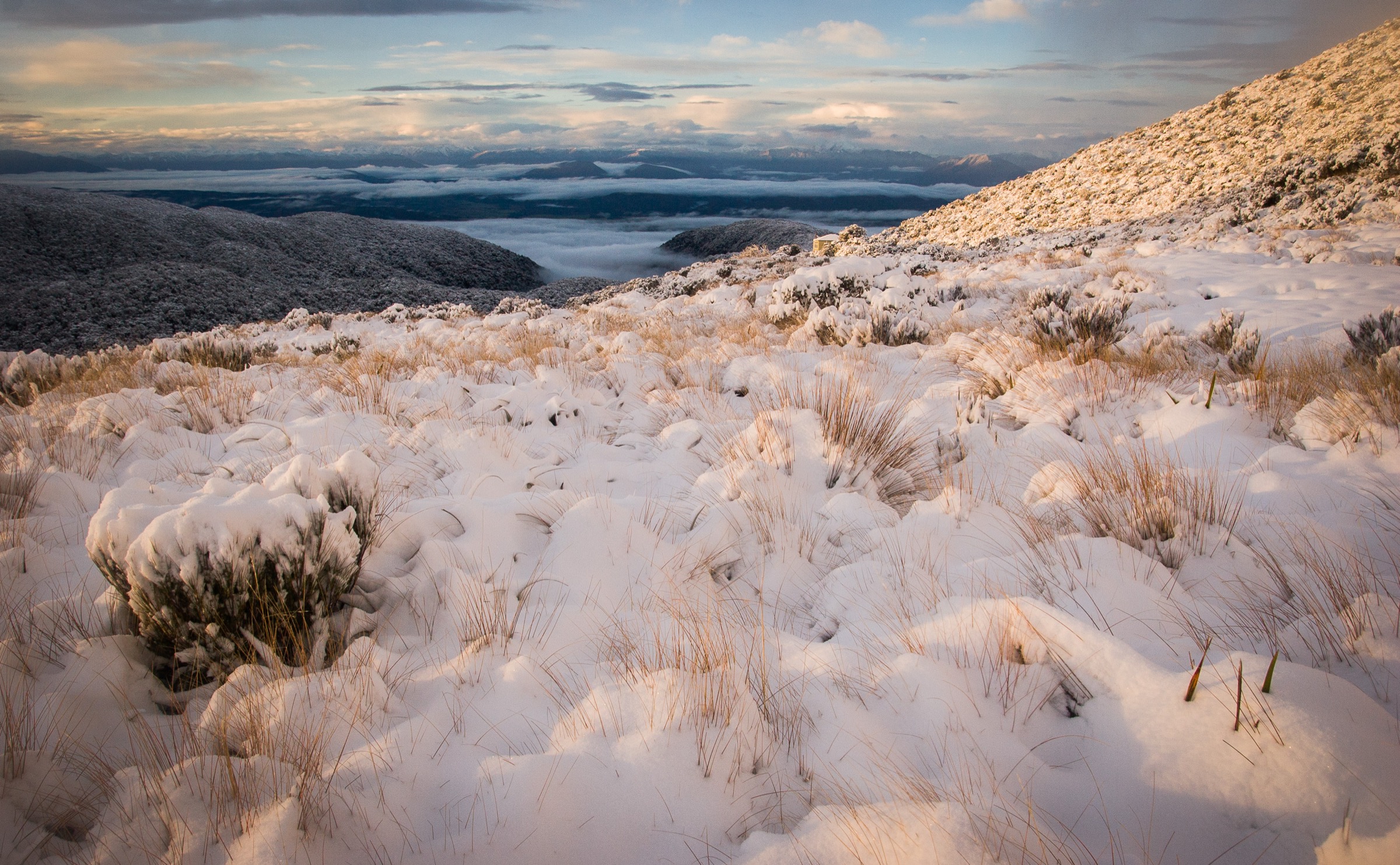
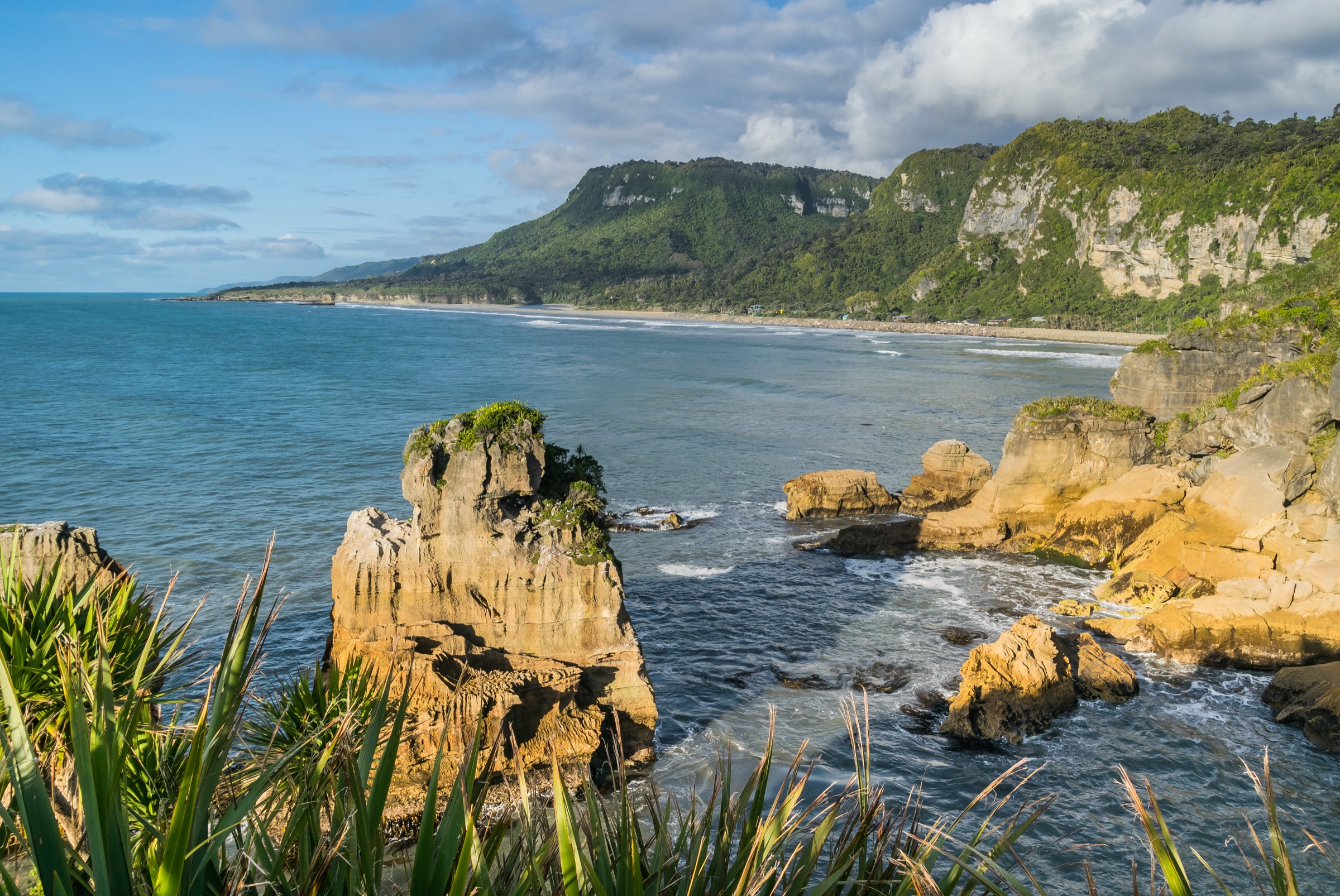
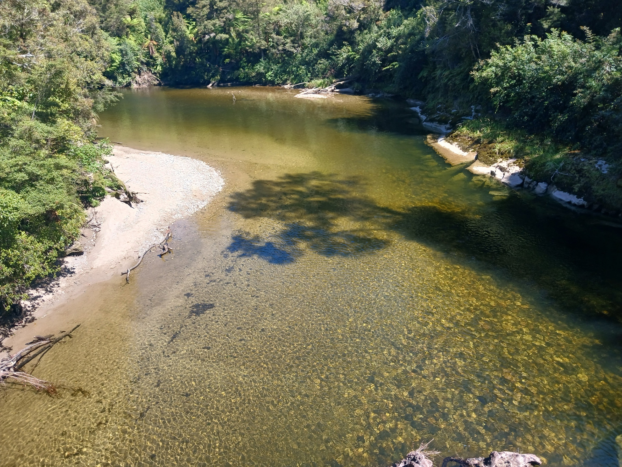
Inland Paparoa is the limestone, river-gorge, and rainforest side of Paparoa National Park around Punakaiki, Pororari River, Bullock Creek, Fox River, and the Inland Pack Track. The walking character is wet West Coast forest, karst bluffs, caves, overhangs, and tannin-stained rivers, punctuated by short but potentially serious sections where heavy rain changes conditions quickly.
Access is from State Highway 6, with the main trailheads at Punakaiki village, the Pororari River car park, Waikori Road, Bullock Creek Road, and Fox River. Routes range from very short accessible walks to advanced tramping routes with unbridged crossings and unformed river-bed travel. Heavy rain, rockfall, flooded creeks, slippery boardwalks, and damaged or closed structures are the recurring safety issues. The Inland Pack Track and Ballroom Overhang routes require current DOC condition checks before departure. Dogs are not permitted anywhere in Paparoa National Park.
Selection rationale
The five hikes cover the Inland Paparoa range: the classic Pororari gorge walk, two longer Punakaiki / Inland Pack Track loop variants, the Fox River limestone route to Ballroom Overhang, and the short Truman Track as the sector’s most accessible coastal-karst forest walk. Multi-day objectives on the Paparoa Track Great Walk sit outside this day-hike entry.
Summary table
| # | Hike | Country | Route type | Distance | Difficulty |
|---|---|---|---|---|---|
| 1 | Pororari River Track | New Zealand | Out-and-back | ~7 km return (DOC) | Easy-intermediate walking track |
| 2 | Punakaiki-Pororari Loop | New Zealand | Loop | ~11 km (DOC PDF) | Walking track |
| 3 | Pororari River – Bullock Creek Road Loop | New Zealand | Loop | ~15 km (DOC PDF) | Full-day walking/tramping mix |
| 4 | Ballroom Overhang Route from Fox River | New Zealand | Out-and-back | ~12 km return (DOC 6 km one way) | Advanced tramping route |
| 5 | Truman Track | New Zealand | Out-and-back | ~1.4 km return (DOC) | Short walk |
DOC does not publish elevation gain, loss, or maximum elevation for any of these lowland Paparoa routes; those fields are recorded as unpublished in each hike snapshot below.
Before you go
Permits and access
All five routes lie inside Paparoa National Park, managed by DOC. No permits are required for day walking. Trailheads are accessed by private vehicle from State Highway 6; there is no scheduled public transport into the individual trailheads, though InterCity and shuttle services run through Punakaiki village. Dogs are excluded from Paparoa National Park. Rockfall closures and structure repairs on the Pororari and Ballroom Overhang routes have both been documented in recent DOC alerts — always check the Paparoa National Park alerts page before travel.
Standard Inland Paparoa day-hiking kit
- Waterproof shell, warm layer, hiking shoes with grip on wet karst rock.
- Water, food, and insect protection — sandflies are consistent through the year.
- Headtorch for cave and overhang detours and for any longer loop that risks finishing in low light.
- Map / GPS with pre-loaded track lines; cell coverage is patchy off SH6.
- For the Ballroom Overhang and Bullock Creek routes: tramping boots, a conservative river-crossing plan, and enough time buffer to reverse the trip if creeks come up.
Common hazards
Heavy rain is the dominant control: creeks and rivers rise quickly, flood risk on the Pororari corridor is documented on the DOC track page, and the Fox River and Inland Pack Track sections can become impassable within hours. Karst edges and coastal cliffs on the Truman Track are slippery when wet. Rockfall risk is repeatedly flagged by DOC on the Pororari.
1. Pororari River Track
Snapshot
Itinerary
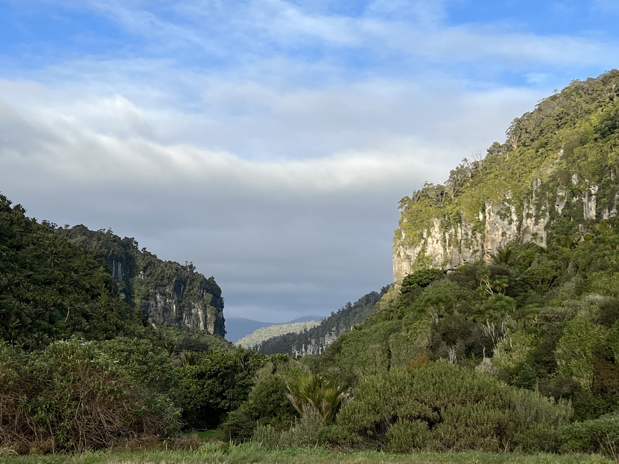
The track follows the lower Pororari River gorge through rainforest and past limestone bluffs. It shares alignment with the final section of the Paparoa Track Great Walk and can be linked into the longer Punakaiki loop options. Return by the same route unless combining with the Inland Pack Track / Paparoa Track loop.
Why it is essential
Pororari River Track is the most accessible Inland Paparoa gorge walk: a short official route with limestone walls, rainforest, and river scenery a few minutes from Punakaiki.
Hazards and notes
- DOC flags rockfall risk on the track.
- The river corridor floods after heavy rain — do not travel in warning-level rainfall.
- Dogs are not allowed anywhere in Paparoa National Park.
GPX / KML links
| Source | URL | Format | Notes |
|---|---|---|---|
| DOC Pororari River Track | doc.govt.nz | Official route page | DOC website terms; no GPX found |
| DOC Punakaiki walks brochure (PDF) | doc.govt.nz PDF | Official brochure / source map | DOC website terms |
| OpenStreetMap: Pororari corridor | openstreetmap.org | OSM area | ODbL; attribution required |
Further reading
2. Punakaiki-Pororari Loop
Snapshot
Itinerary
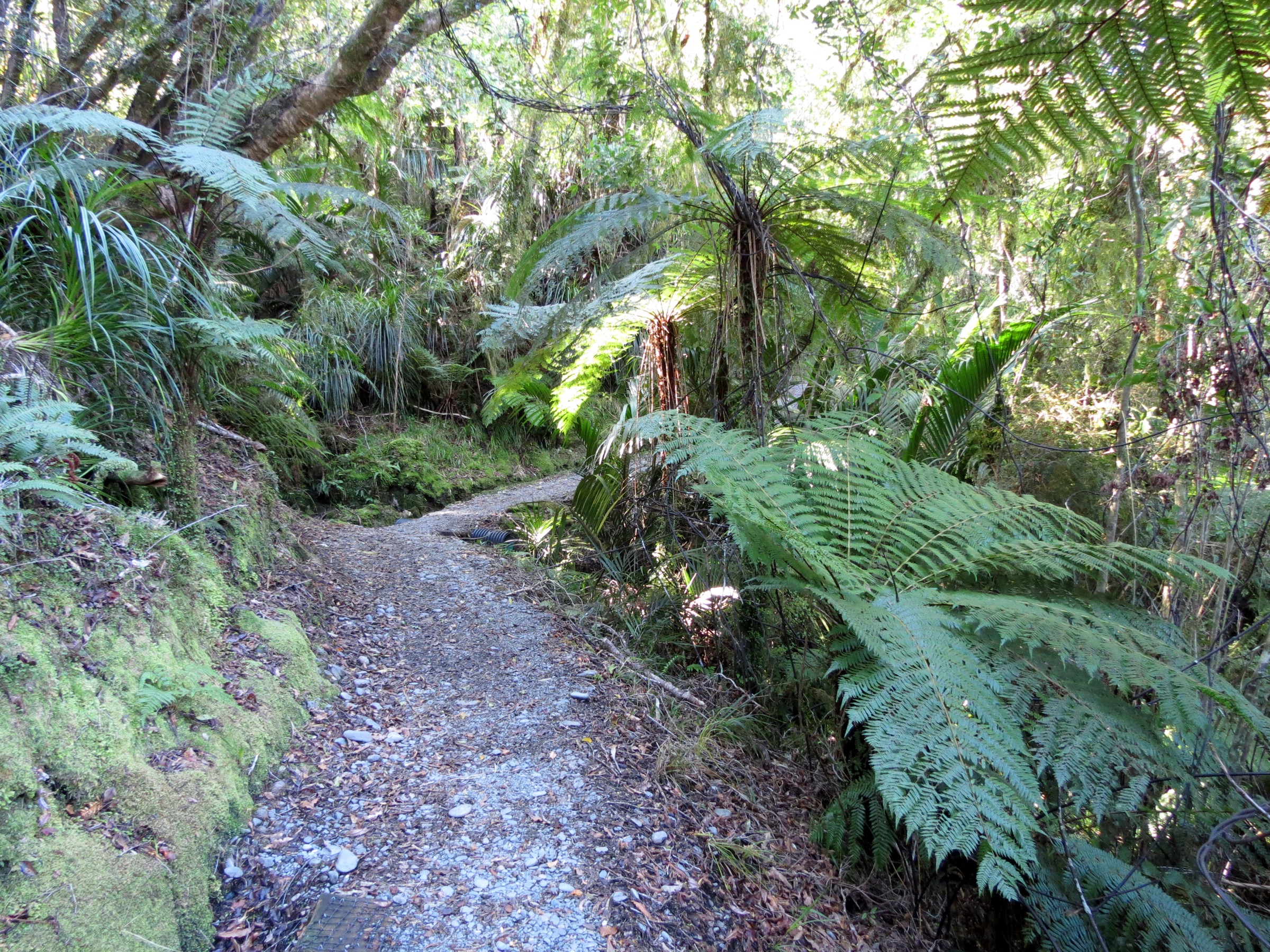
From Punakaiki, follow the Waikori Road / Punakaiki River access onto the southern Inland Pack Track. The route climbs gently through forest, links with the Paparoa Track alignment, and descends the Pororari River gorge before returning to Punakaiki along SH6 and the local road network.
Why it is essential
This is the best compact loop for the Inland Paparoa visitor corridor — it links the historic Inland Pack Track with the Pororari River gorge in a half-day circuit and needs no shuttle.
Hazards and notes
- Heavy rain floods streams and makes surfaces slippery.
- Short road-side sections near SH6 / Punakaiki demand care with traffic.
- Dogs are excluded across the whole loop.
GPX / KML links
| Source | URL | Format | Notes |
|---|---|---|---|
| DOC Punakaiki walks brochure (PDF) | doc.govt.nz PDF | Official brochure / source map | DOC website terms; no GPX found |
| DOC Pororari River Track | doc.govt.nz | Official route page | DOC website terms |
| DOC Inland Pack Track | doc.govt.nz | Official route page | DOC website terms |
Further reading
3. Pororari River – Bullock Creek Road Loop
Snapshot
Itinerary
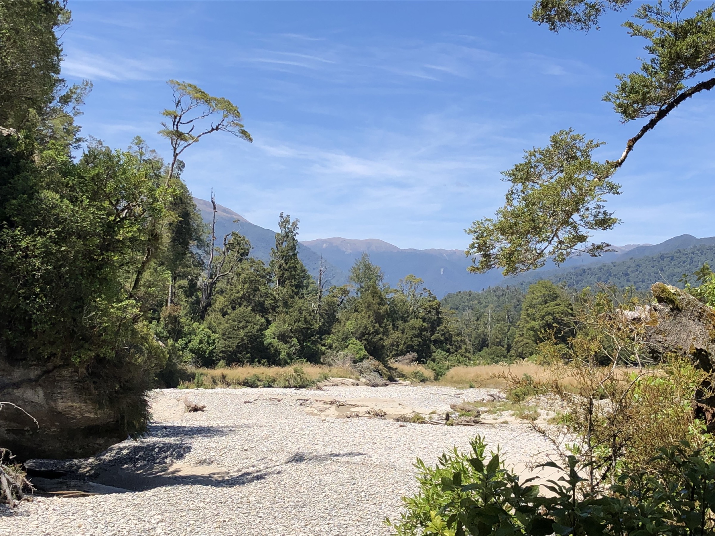
This longer loop uses the Pororari River Track, the Inland Pack Track, and Bullock Creek Road to make a full-day circuit through river gorge, rainforest, and karst country behind Punakaiki. Bullock Creek Road adds a road-walking section but opens the loop to broader karst scenery and cave-country views.
Why it is essential
This is the stronger full-day Inland Paparoa loop from Punakaiki — it adds Bullock Creek karst and a longer Inland Pack Track section to the shorter Pororari loop.
Hazards and notes
- Weather-sensitive; heavy rain floods streams and makes the Bullock Creek / Inland Pack sections more serious.
- Longer than the standard loop — carry a headtorch and full-day food.
- Check current DOC track alerts before departure; Bullock Creek Road access can be restricted at times.
GPX / KML links
| Source | URL | Format | Notes |
|---|---|---|---|
| DOC Punakaiki walks brochure (PDF) | doc.govt.nz PDF | Official brochure / source map | DOC website terms; no GPX found |
| DOC Inland Pack Track | doc.govt.nz | Official route page | DOC website terms |
| OpenStreetMap: Bullock Creek area | openstreetmap.org | OSM area | ODbL; attribution required |
Further reading
4. Ballroom Overhang Route from Fox River
Snapshot
Itinerary
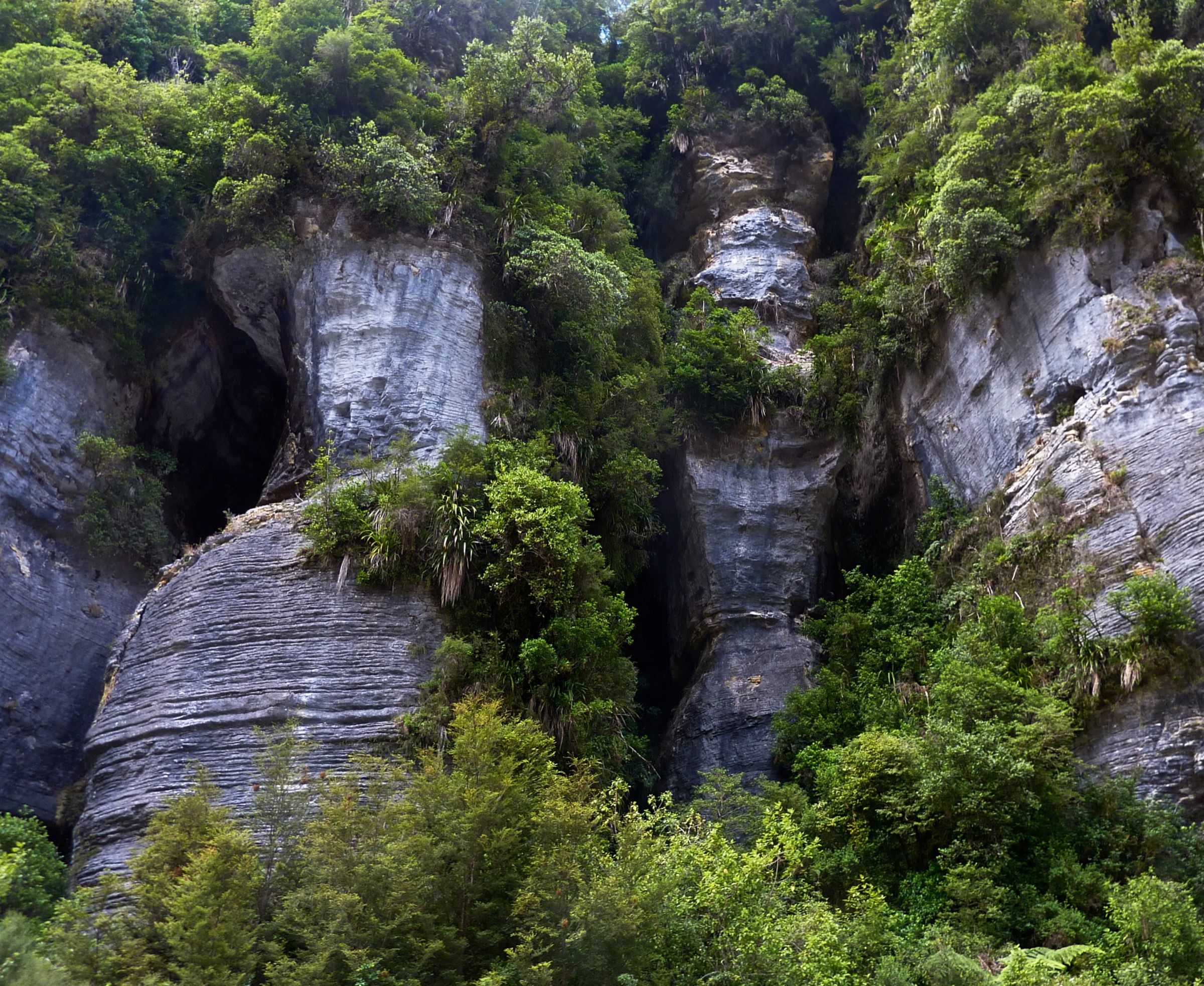
From Fox River, follow the Inland Pack Track upstream through forest and limestone country. Beyond the formed sections, continue by route / river travel toward the Fox River – Dilemma Creek confluence, then to the large Ballroom Overhang — a natural limestone shelter reached only in dry conditions.
Why it is essential
Ballroom Overhang is the classic Paparoa limestone day objective: an impressive natural shelter reached by a river-gorge route that shows the wilder side of the Inland Pack Track.
Hazards and notes
- DOC classes this as an advanced tramping route; river crossings can become dangerous or impassable after rain.
- Track damage, slippery structures, and rockfall / landslide hazards should be checked through current DOC alerts.
- Carry a conservative river-crossing plan and enough time buffer to reverse the trip if creeks come up.
GPX / KML links
| Source | URL | Format | Notes |
|---|---|---|---|
| DOC Inland Pack Track | doc.govt.nz | Official route page | DOC website terms; no GPX found |
| DOC Punakaiki walks brochure (PDF) | doc.govt.nz PDF | Official brochure / source map | DOC website terms |
| OpenStreetMap: Fox River corridor | openstreetmap.org | OSM area | ODbL; attribution required |
Further reading
5. Truman Track
Snapshot
Itinerary
The track passes through subtropical coastal forest to coastal cliffs, a small beach, and limestone coastal features north of Punakaiki. Return by the same route.
Why it is essential
Truman Track is the short, accessible Paparoa coastal-karst walk that complements the longer Inland Paparoa river and pack-track routes — a good weather-day companion to the Pororari.
Hazards and notes
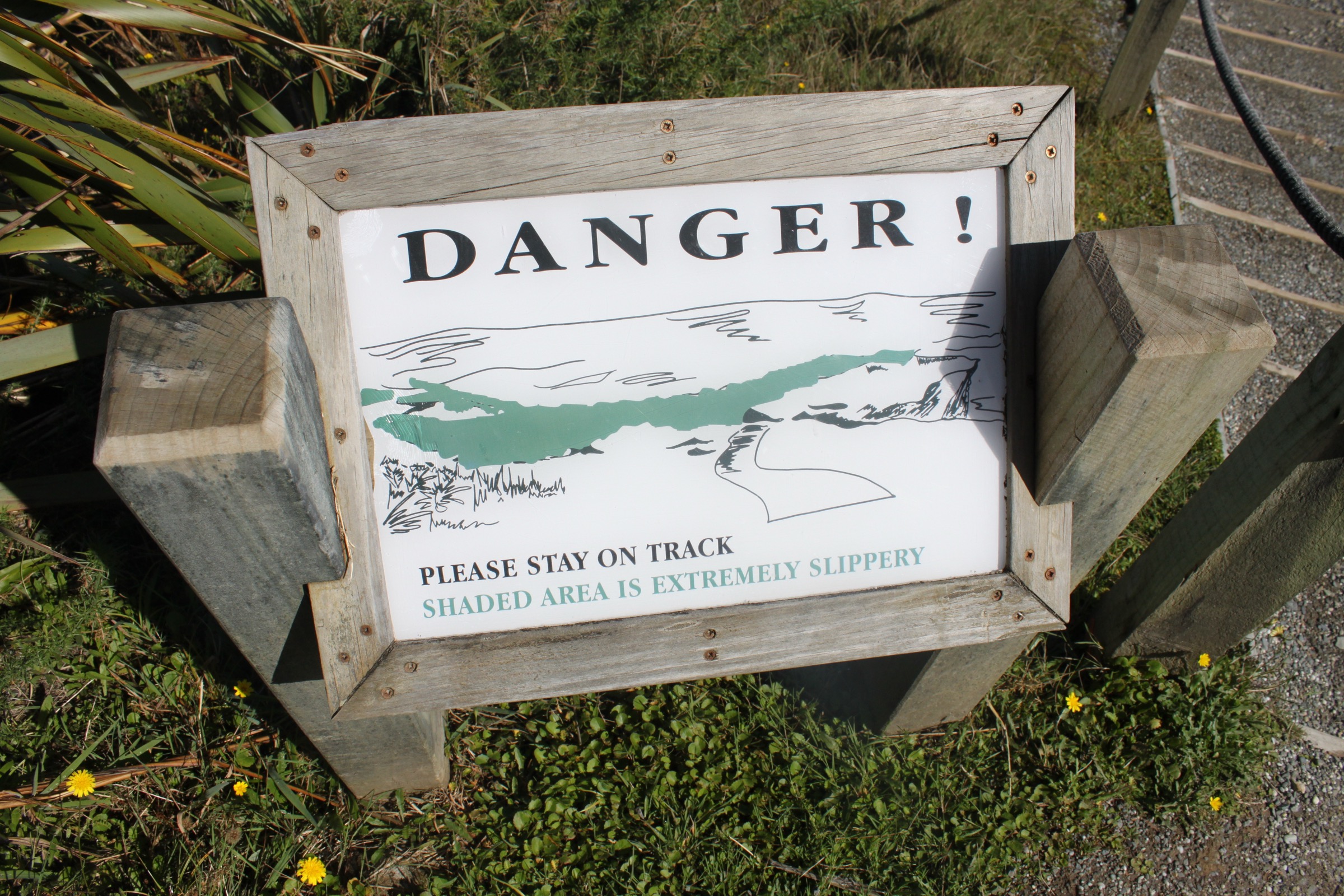
- Coastal hazards include waves, wet rock, and slippery steps.
- Stay on the marked track and avoid the beach and rock edge in heavy swell.
- Dogs are excluded.
GPX / KML links
| Source | URL | Format | Notes |
|---|---|---|---|
| DOC Truman Track | doc.govt.nz | Official route page | DOC website terms; no GPX found |
| DOC Punakaiki walks brochure (PDF) | doc.govt.nz PDF | Official brochure | DOC website terms |
| OpenStreetMap: Truman Track | openstreetmap.org | OSM area | ODbL; attribution required |
Further reading
Verification notes
- DOC is the primary source for route descriptions, access, official walking times, safety notes, and dog restrictions.
- No standalone official GPX / KML downloads were found for any of the five routes in this research pass.
- DOC does not publish elevation gain, loss, or maximum elevation for these lowland Paparoa routes; those fields are recorded as unpublished throughout.
- All figures shipped in this article use commercially-reusable Wikimedia Commons imagery in preference to DOC’s CC BY-NC candidates.
Further reading
| Source | URL |
|---|---|
| DOC Paparoa National Park | doc.govt.nz |
| DOC Pororari River Track | doc.govt.nz |
| DOC Inland Pack Track | doc.govt.nz |
| DOC Truman Track | doc.govt.nz |
| DOC Punakaiki walks brochure (PDF) | doc.govt.nz PDF |
| Wikipedia — Paparoa National Park | en.wikipedia.org |
| Wikipedia — Paparoa Range | en.wikipedia.org |