Regional overview
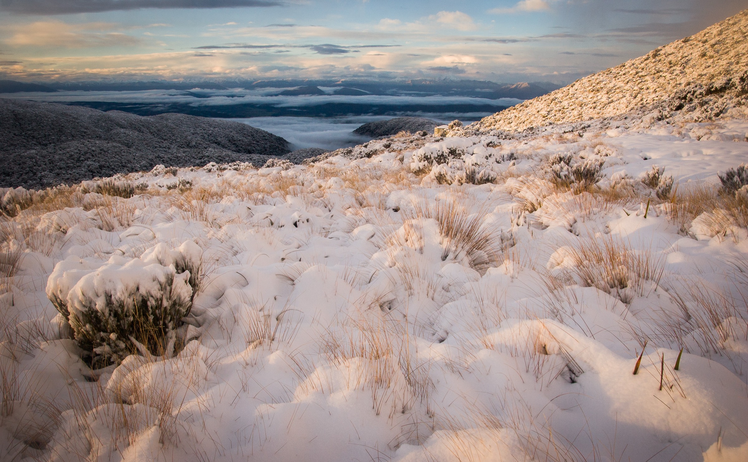
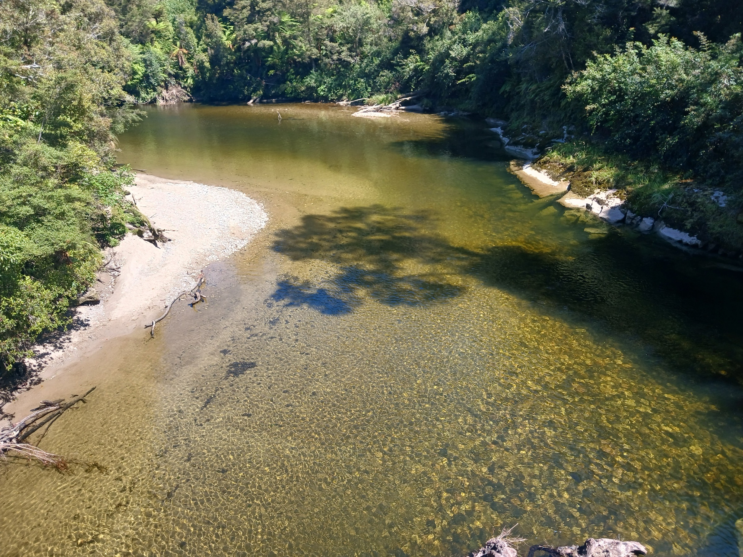
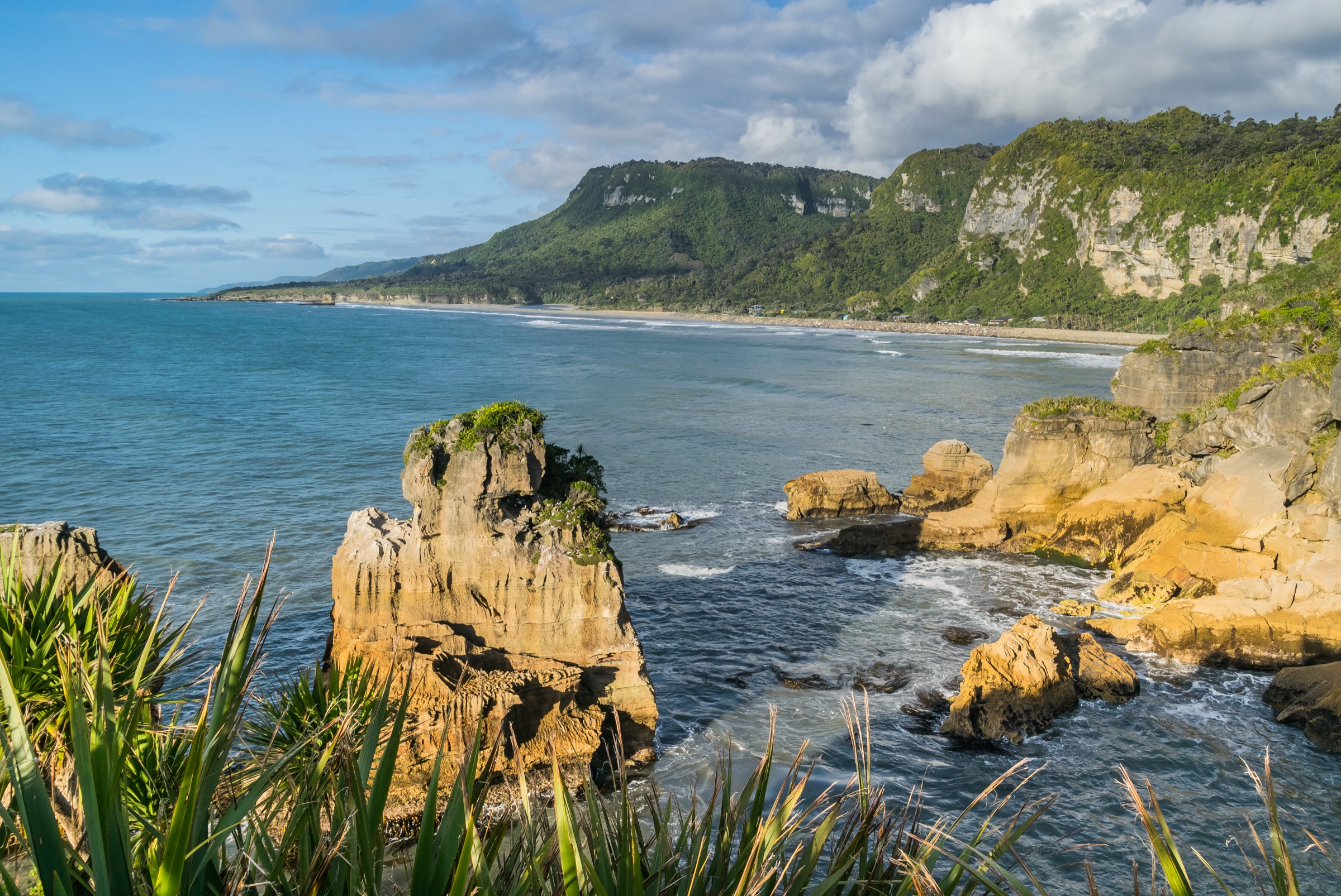
The southern Paparoa Range runs from the Pike Valley and Moonlight Valley in the eastern foothills across to the Rapahoe / Point Elizabeth coast on the Tasman side, with the Greymouth and Runanga foothill edge stitching the two sides together. The walking character shifts hard with terrain. On the eastern flank, the Pike29 Memorial Track and the Moonlight Pack Track climb from forest into rougher tops on serious mountain-day ground. On the coast and around Runanga, the Point Elizabeth Walkway, Coal Creek Falls and Woods Creek heritage loop are short lowland walks through coastal rainforest and gold-mining relics.
Access clusters around three corridors. Pike River Road off SH7 gives the Pike29 trailhead — a narrow gravel road not recommended for buses or long campervans. Andersons Flat at the end of the Moonlight Valley access road gives the Moonlight Pack Track start. Greymouth, Runanga and Rapahoe hold the three coastal and mining walks, all within 15 minutes of Greymouth’s SH6/SH7 junction. No public transport reaches any of the trailheads; access is by private vehicle from Greymouth or Reefton.
This entry is honest about a limitation of the sector. DOC’s published mountainous day-walk inventory in the southern Paparoa is small — most of the range’s serious tops walking is inside the multi-day Paparoa Track and its side-arms rather than in standalone day routes. To reach a full set of five day-walk objectives, this catalogue combines the two mountain routes (Pike29, Moonlight) with three lower-level coastal and heritage walks that give the sector’s other essential landscapes. DOC does not publish elevation gain, loss or maximum elevation for most of the shorter routes.
Weather, road access and terrain all matter. Pike29 has steep climbing, exposed tops and snow, fog and wind risk; Moonlight reaches rougher tops on rough ground beyond the pack-track section. Point Elizabeth is coastal and exposed to storm weather; Coal Creek and Woods Creek become slippery after West Coast rain. Standard equipment scales with the route: mountain kit for Pike29 and Moonlight (sturdy boots, waterproof shell, warm layers, map/GPS, headlamp, PLB), and lighter walking kit for the three shorter walks — with a headlamp for the Woods Creek tunnel section.
Selection rationale
Five day-scale routes are presented across the southern Paparoa. The Pike29 Memorial Track is the defining serious day objective — memorial history, forest-to-tops climbing and a direct link to the Paparoa Track. The Moonlight Pack Track adds the historic goldfield pack-route dimension on rougher ground. Point Elizabeth Walkway brings the coastal rainforest edge into the catalogue. Coal Creek Falls at Runanga is the short waterfall classic that works when the tops are closed out by weather. Woods Creek Track near Greymouth is the compact gold-mining heritage loop with its tunnel section. The full Paparoa Track, the Croesus Track and any unverified tops extensions sit outside this day-hike entry.
Summary
| # | Hike | Trailhead | Route type | Distance | Gain | Difficulty |
|---|---|---|---|---|---|---|
| 1 | Pike29 Memorial Track | Pike29 Memorial Track car park, Pike Valley | Point-to-point or out-and-back | 11.6 km one way; 16.8 km viewpoint return | ~800 m | Hard |
| 2 | Moonlight Pack Track to Paparoa Tops | Andersons Flat, Moonlight Valley | Out-and-back | 13 km return | Not published | Moderate–Hard |
| 3 | Point Elizabeth Walkway | Rapahoe or Cobden / North Beach | Point-to-point or out-and-back | 5.5 km one way | Not published | Easy–Moderate |
| 4 | Coal Creek Track | Coal Creek car park, Runanga | Out-and-back | 3.6 km return | Not published | Easy |
| 5 | Woods Creek Track | Woods Creek car park, Greymouth area | Loop | 1.1 km | Not published | Easy |
1. Pike29 Memorial Track
Snapshot
Itinerary
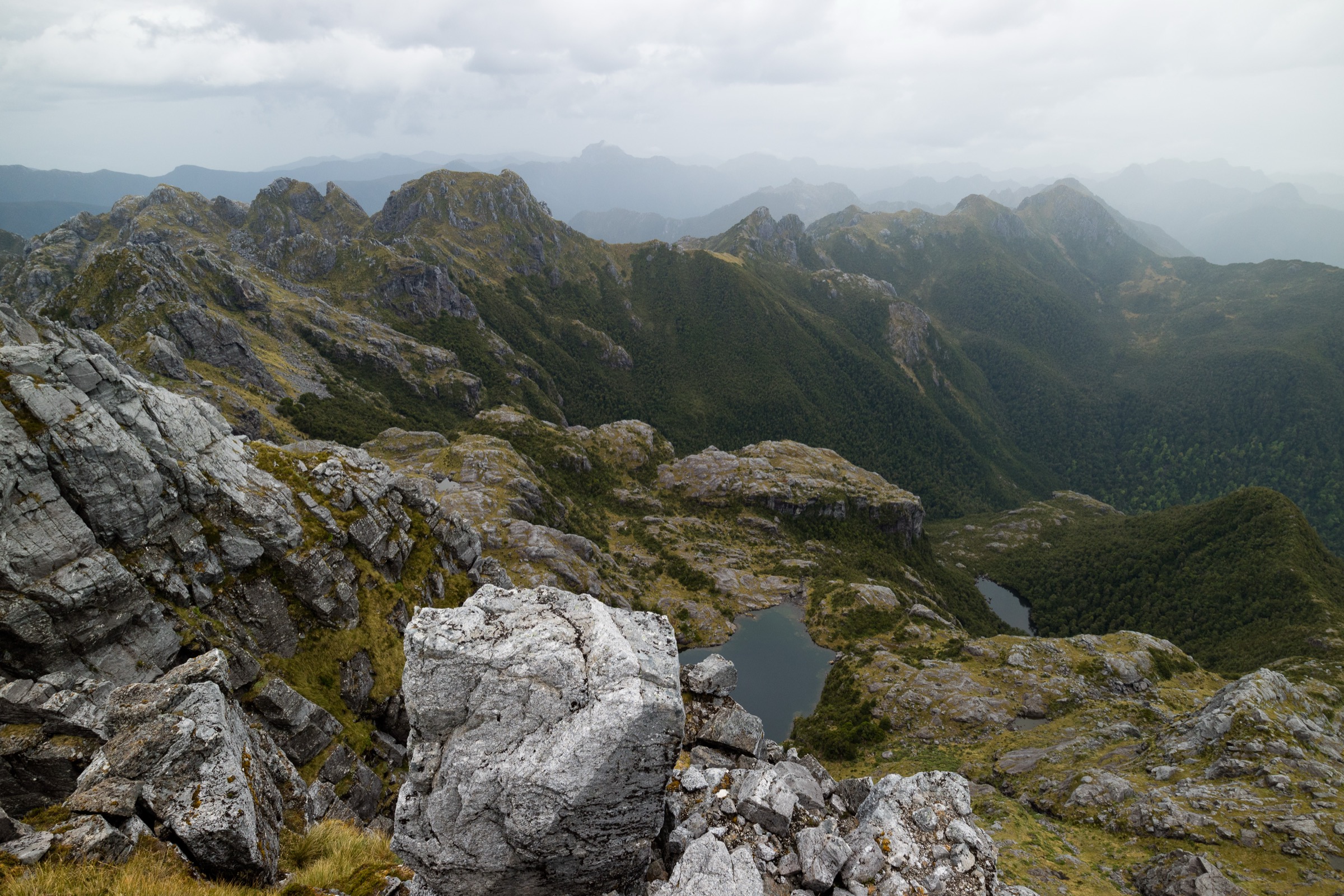
From the Pike29 Memorial Track car park, the track climbs from Pike Valley through podocarp and red beech forest into alpine scrub and ridge viewpoints, passing interpretation and memorial points associated with the Pike River Mine disaster. The full route reaches the Paparoa Track junction at ~11.6 km; the vent shaft viewpoint at ~8.4 km one way is the more practical out-and-back day objective for most parties.
Why it is essential
Pike29 is the defining southern Paparoa route — the only day-scale walk that combines memorial history, forest-to-tops climbing and a direct link to the Paparoa Track. It is the sector’s benchmark serious day out.
Equipment
- Sturdy tramping boots
- Waterproof and windproof shell, warm mid-layer, spare warm layer
- Warm hat and gloves outside midsummer
- Map, compass and offline GPS
- Headlamp with spare batteries — long day, headlamp finish possible
- 2.5 L water and food for a long day
- Personal Locator Beacon
- First-aid kit
Hazards and notes
- Steep climbing into exposed tops
- Heavy rain, fog, snow and high wind possible year-round on the ridge
- Pike River Road is narrow and gravel — buses and long campervans not recommended
- Long day — the full one-way route to the Paparoa Track junction needs shuttle logistics or Paparoa Track hut bookings
- Check DOC alerts for current track conditions
2. Moonlight Pack Track to Paparoa Tops
Snapshot
Itinerary
From Andersons Flat, the track follows an old goldfield pack route through regenerating forest, swing bridges, gold-mining remains and beech–hardwood forest. Above the pack-track section, the ground becomes rougher and steeper as it climbs toward the Paparoa tops and the Meikles Hut area. Return by the same track.
Why it is essential
Moonlight is the southern Paparoa’s historic pack-track day route and the shorter, less-committed way to experience the range’s mining-era access lines. It complements Pike29 by giving the pack-history dimension without the exposed memorial climb.
Equipment
- Sturdy walking shoes or light tramping boots
- Waterproof shell and warm mid-layer
- Map, compass and offline GPS
- Headlamp with spare batteries
- 2 L water and food
- Personal Locator Beacon for the upper section
Hazards and notes
- Rougher and steeper final section to the tops
- Historic huts are derelict — not accommodation
- Dogs are not allowed on the track
- Streams can rise after West Coast rain
- Check DOC alerts before departure
3. Point Elizabeth Walkway
Snapshot
Itinerary
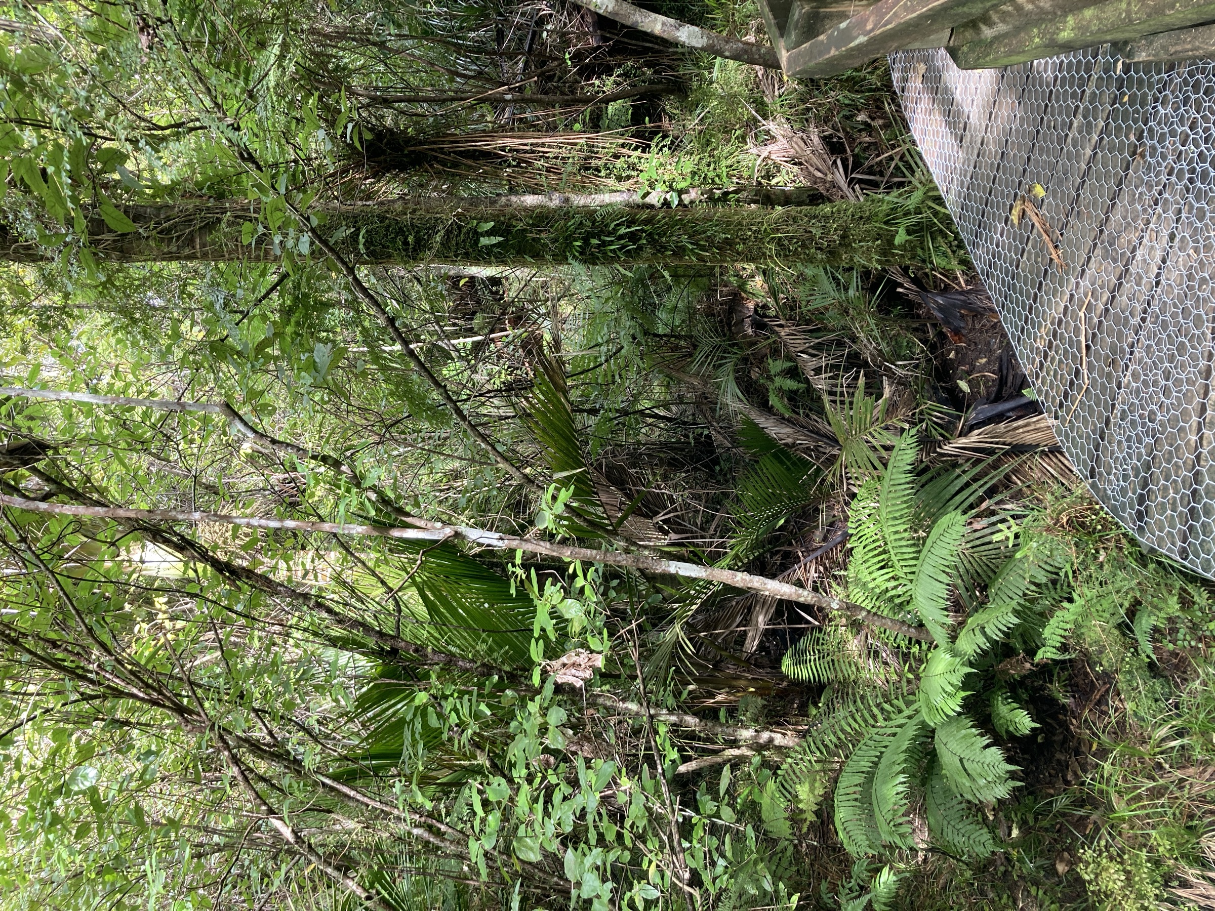
The walkway follows coastal forest and headland terrain between Rapahoe and the Cobden / North Beach side of Greymouth, with viewpoints toward the Tasman Sea and the Paparoa foothills. It can be walked one-way with vehicle logistics at both ends, or as an out-and-back from either trailhead.
Why it is essential
Point Elizabeth is the southern Paparoa’s accessible coastal forest walk — the only route in the catalogue that reads the range from its sea edge, adding a coastal perspective to the Pike29 and Moonlight mountain routes.
Equipment
- Walking shoes
- Rain and wind layer
- 1–1.5 L water
- Sun protection
Hazards and notes
- Exposed to coastal weather — check MetService before storm periods
- Slips can affect the track after heavy rain
- Vehicle shuttle required for the point-to-point line
4. Coal Creek Track
Snapshot
Itinerary
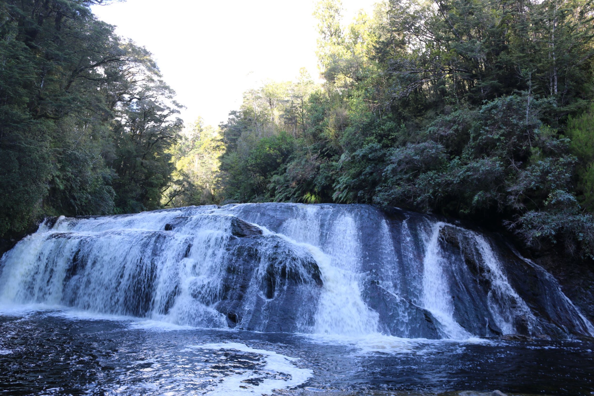
From the Coal Creek Track car park at Runanga, the track follows regenerating forest to Coal Creek Falls and returns the same way.
Why it is essential
Coal Creek is the short waterfall classic of the southern Paparoa / Runanga area and a useful lower-level option when the tops routes are unsuitable for weather. It sits within 5 minutes of Runanga village and works as a family or shoulder-of-the-day walk.
Equipment
- Walking shoes
- Rain layer
- 1 L water
- Sun protection
Hazards and notes
- Muddy or slippery after rain
- Stay back from wet rock at the waterfall
- Waterfall flow is highest after West Coast rain — the walk is more scenic then but the track is more slippery
5. Woods Creek Track
Snapshot
Itinerary
From the Woods Creek Track car park, the short loop passes gold-mining remains, water races, tailings and a tunnel section before returning to the car park.
Why it is essential
Woods Creek is the southern Paparoa / Greymouth area’s most compact gold-mining heritage walk — a self-contained loop that complements the longer Moonlight pack-track history with a short, tunnel-and-water-race narrative.
Equipment
- Walking shoes
- Rain layer
- Headlamp for the tunnel section
- 1 L water
Hazards and notes
- Surfaces can be slippery when wet
- The tunnel is dark — carry a headlamp
- Keep children close around water races and old mining features
- Old mining ground — stay on marked routes near workings
Further reading
| Resource | Link |
|---|---|
| DOC — Paparoa National Park | doc.govt.nz |
| DOC — Pike29 Memorial Track | doc.govt.nz |
| DOC — Moonlight Pack Track | doc.govt.nz |
| DOC — Croesus / Moonlight map (PDF) | doc.govt.nz |
| DOC — Point Elizabeth Walkway | doc.govt.nz |
| DOC — Coal Creek Track | doc.govt.nz |
| DOC — Woods Creek Track | doc.govt.nz |
| MetService — West Coast / Buller regional forecast | metservice.com |
| Wikipedia — Paparoa Range | en.wikipedia.org |
| Wikimedia Commons — Paparoa National Park | commons.wikimedia.org |